Chart Color Schemes
This analysis uses ABS Statistical Areas Level 2 (SA2) boundaries, which can materially differ from Suburbs and Localities (SAL) even when sharing similar names.
SA2 boundaries are defined by the Australian Bureau of Statistics and are designed to represent communities for statistical reporting (e.g., census and ERP).
Suburbs and Localities (SAL) represent commonly-used suburb/locality names (postal-style areas) and may use different geographic boundaries. For comprehensive analysis, consider reviewing both boundary types if available.
est. as @ -- *
ABS ERP | -- people | --
2021 Census | -- people
Sales Activity
Curious about local property values? Filter the chart to assess the volume and appreciation (including resales) trends and regional comparisons, or scroll to the map below view this information at an individual property level.
Find a Recent Sale
Sales Detail
Population
Population growth drivers in Forrestfield - Wattle Grove are above average based on AreaSearch's ranking of recent, and medium to long-term trends
Forrestfield - Wattle Grove's population was 22,561 as of November 2025, an increase of 2,832 people since the 2021 Census. The ABS estimated resident population in June 2024 was 22,286, with an additional 225 validated new addresses since the Census date contributing to this growth. This resulted in a population density ratio of 838 persons per square kilometer. Forrestfield - Wattle Grove's 14.4% growth from 2021 exceeded the national average of 8.9%, making it a growth leader in its region. Overseas migration contributed approximately 39.4% of overall population gains during recent periods, with all migration drivers being positive factors. AreaSearch uses ABS/Geoscience Australia projections for each SA2 area released in 2024 with a base year of 2022, and Greater Capital Region projections from the ABS released in 2023 based on 2022 data for areas not covered by this data.
Future population trends suggest an increase just below the median national level to 2041, with an expected expansion of 2,473 persons reflecting a total increase of 9.7%.
Frequently Asked Questions - Population
Development
AreaSearch assessment of residential development activity positions Forrestfield - Wattle Grove among the top 25% of areas assessed nationwide
Forrestfield-Wattle Grove averaged 127 new dwelling approvals annually over several years. Between FY-21 and FY-25635 homes were approved, with a further 15 approved in FY-26. On average, 3.9 people moved to the area per dwelling built during these years.
This demand outpaces supply, potentially influencing prices and competition among buyers. The average construction value of new homes was $191,000, lower than regional levels. In FY-26, $42.8 million in commercial development approvals were recorded. Compared to Greater Perth, Forrestfield-Wattle Grove had 60.0% higher new home approvals per capita as of recent data.
Recent construction consisted predominantly of standalone homes (95.0%) and townhouses/apartments (5.0%), maintaining the area's low-density character. With around 315 people per dwelling approval, Forrestfield-Wattle Grove indicates a developing market. By 2041, it is projected to grow by 2,198 residents. At current development rates, new housing supply should meet demand comfortably, benefiting buyers and potentially supporting population growth beyond current projections.
Frequently Asked Questions - Development
Infrastructure
Forrestfield - Wattle Grove has emerging levels of nearby infrastructure activity, ranking in the 35thth percentile nationally
Changes to local infrastructure significantly impact an area's performance. AreaSearch identified 32 projects likely affecting the region. Notable initiatives include Forrestfield/High Wycombe Industrial Area, Hartfield Park Master Plan Stage 2: Co-Location, Tonkin Highway Corridor - Roe Highway to Kelvin Road, and Cell 9 Wattle Grove Urban Development. The following list details those most relevant.
Professional plan users can use the search below to filter and access additional projects.
INFRASTRUCTURE SEARCH
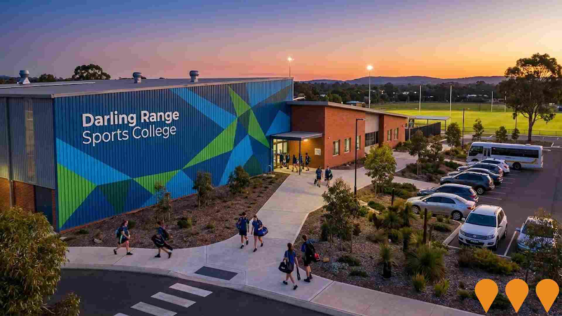
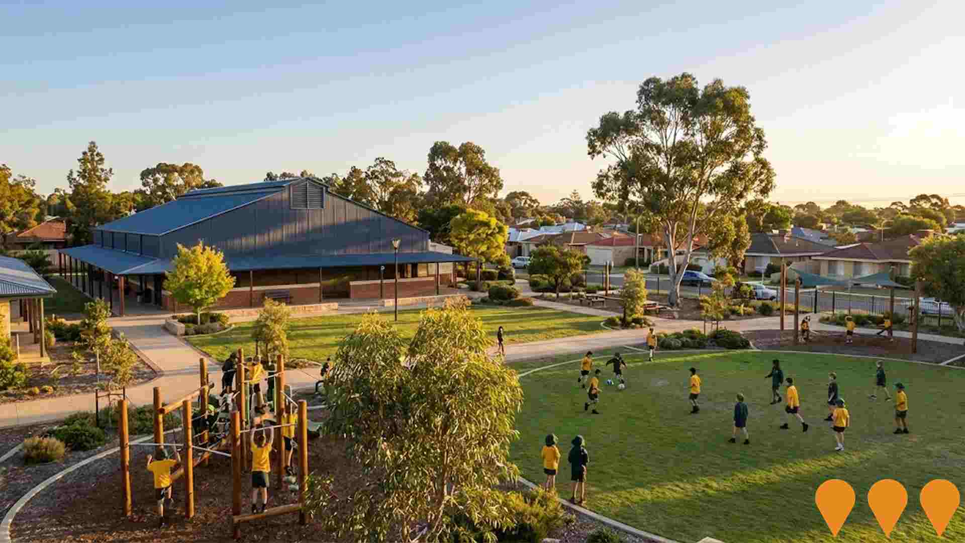
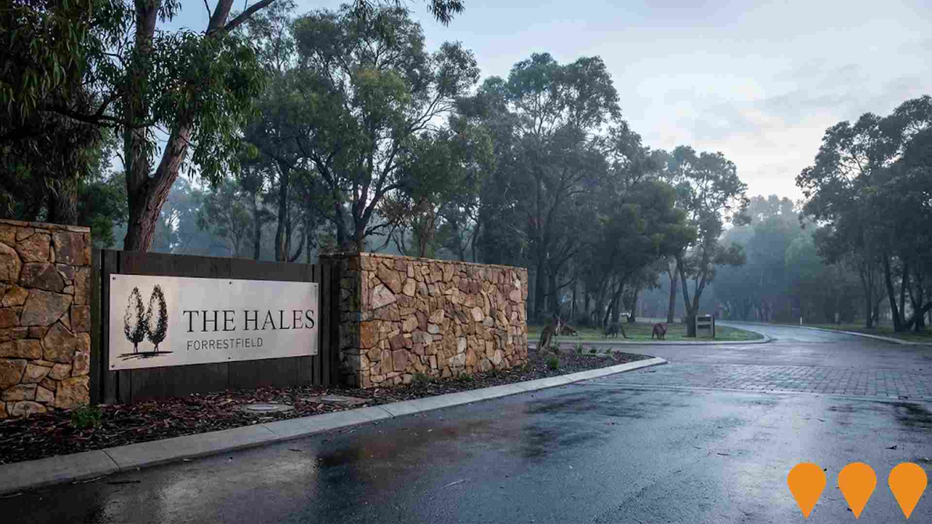
 Denotes AI-based impression for illustrative purposes only, not to be taken as definitive under any circumstances. Please follow links and conduct other investigations from the project's source for actual imagery. Developers and project owners wishing us to use original imagery please Contact Us and we will do so.
Frequently Asked Questions - Infrastructure
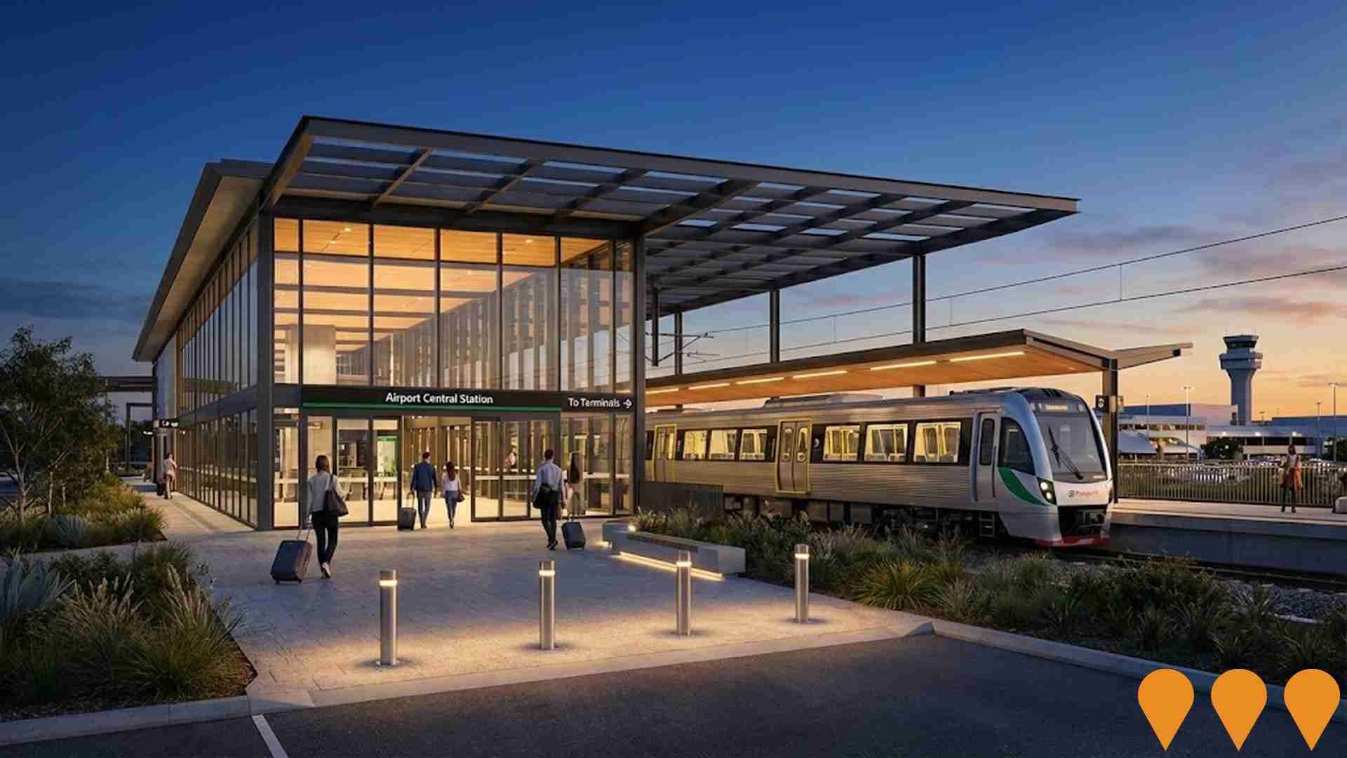
Forrestfield-Airport Link (Airport Line)
The Forrestfield-Airport Link is an 8.5 km METRONET rail project connecting the Midland Line at Bayswater to High Wycombe via twin bored tunnels under the Swan River and Perth Airport, with three new stations at Redcliffe, Airport Central and High Wycombe. The 1.86 billion AUD project opened as the Airport Line on 9 October 2022 and now provides a frequent suburban rail service linking Perths eastern suburbs and the airport to the CBD, improving travel times and reducing road congestion.
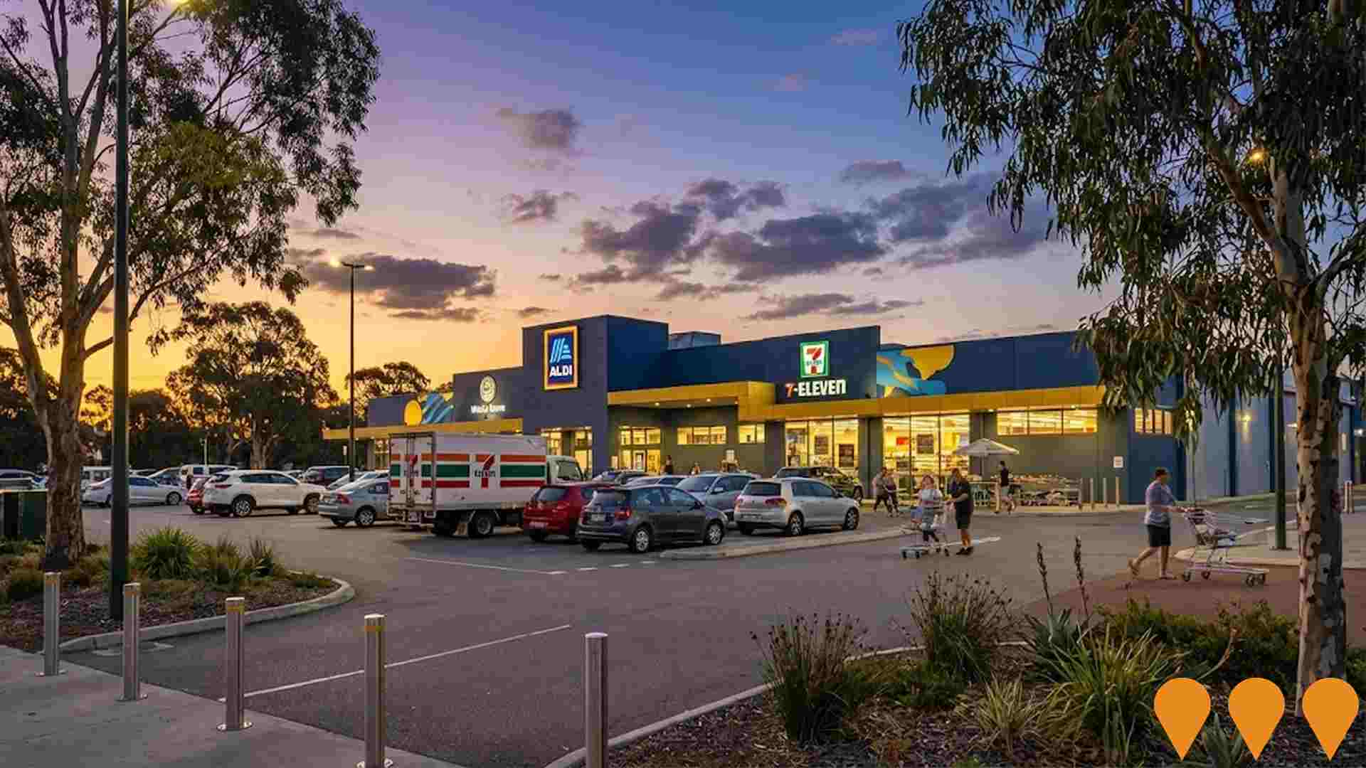
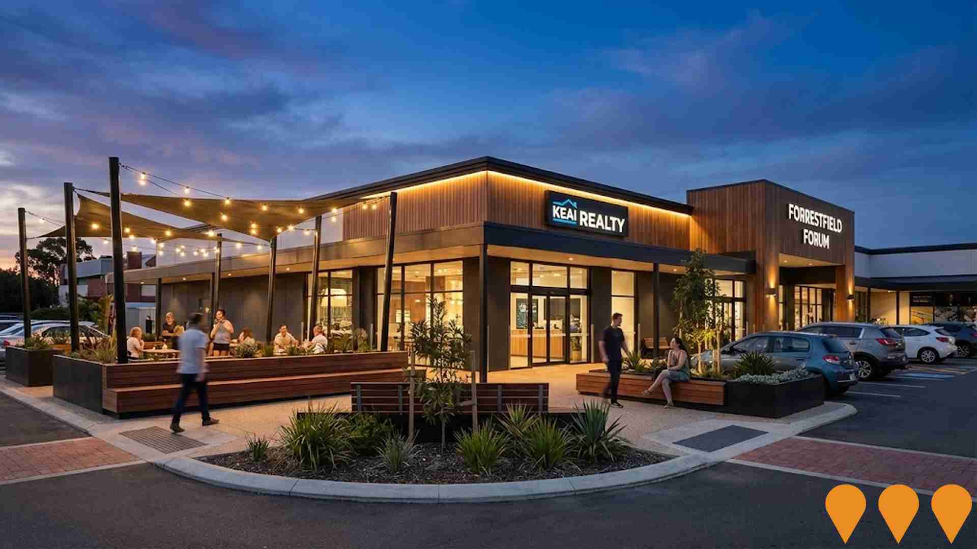
Forrestfield Forum & Marketplace Upgrades
Upgrade works to Hawaiian's Forrestfield (Forrestfield Forum and Marketplace) delivering a new outdoor social space known as The Junction, improved car parking, refreshed shopfronts and signage, upgraded amenities and accessibility, and new landscaping, seating and playground linking the two centre areas.
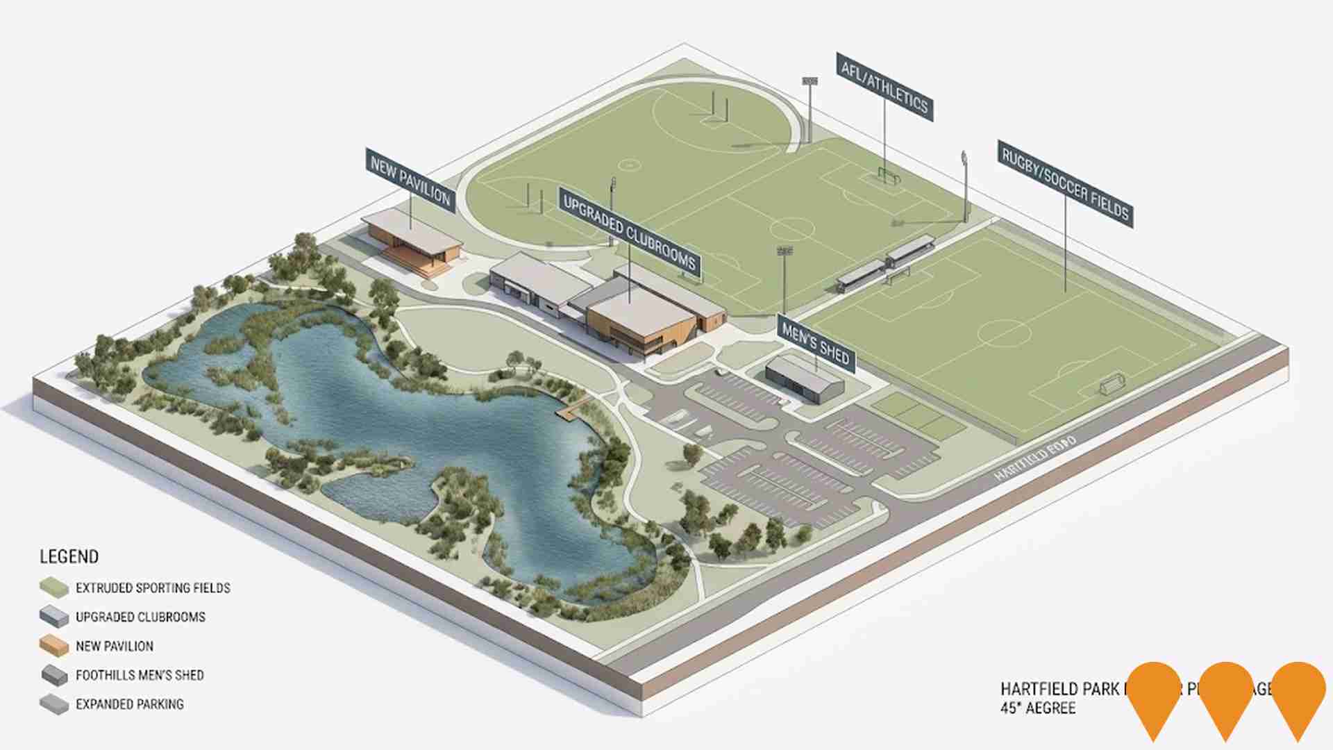
Hartfield Park Master Plan Stage 2: Co-Location
Stage 2 of the Hartfield Park Master Plan is a multi-stage upgrade of Hartfield Park Reserve in Forrestfield, focused on co-locating sporting clubs and modernising community sports facilities. Works include a new pavilion for AFL and Little Athletics, upgraded and expanded clubrooms and unisex changerooms for rugby league and soccer, a new Foothills Men's Shed, improved parking and universal access, and lighting and amenity upgrades across the precinct. Design development and construction are now underway, with all currently funded Stage 2 projects expected to be completed by early 2026. Further master plan elements will proceed as additional funding is secured over the 15 to 20 year life of the plan.
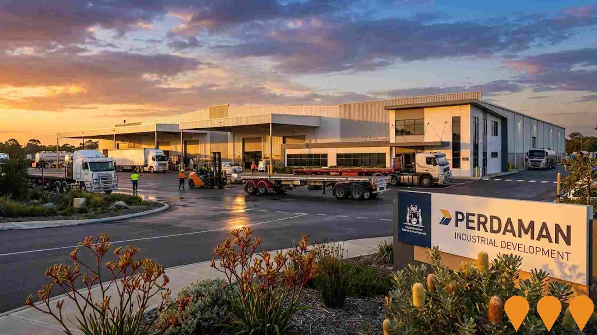
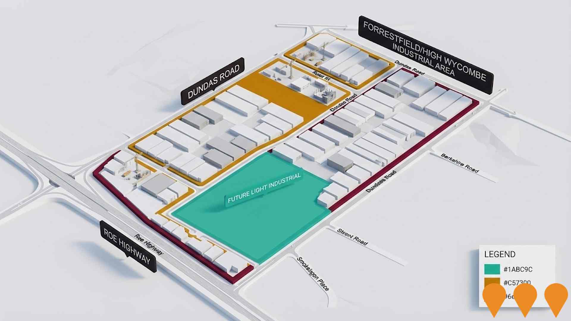
Forrestfield/High Wycombe Industrial Area
Industrial development area focused on logistics and transport-based industries, leveraging proximity to key transport infrastructure including Perth Airport, Forrestfield Marshalling Yard, and Tonkin Highway. Includes modern warehousing, logistics facilities, and support infrastructure upgrades such as new road connections and service relocations, managed under Industrial Development zoning with a Development Contribution Plan.
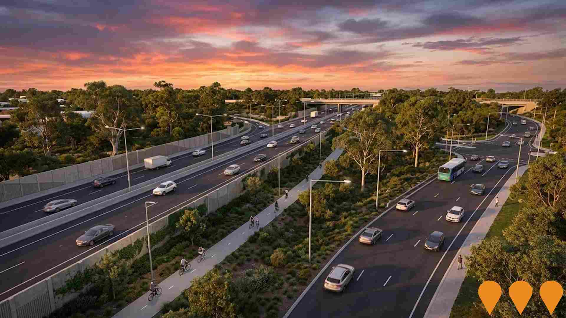
Tonkin Highway Corridor - Roe Highway to Kelvin Road
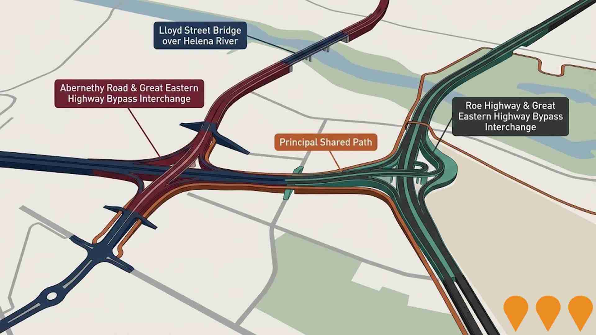
A $366 million project to upgrade Tonkin Highway between Roe Highway and Kelvin Road, delivering grade separated interchanges at Hale Road, Welshpool Road East and Kelvin Road, additional highway lanes, a new Principal Shared Path for pedestrians and cyclists, noise walls, lighting and landscaping. The project is being delivered in two packages, with the first (Hale Road to Welshpool Road East) now in procurement and construction targeted to commence in late 2025, and the Kelvin Road interchange to follow under a separate contract, subject to approvals.
Cell 9 Wattle Grove Urban Development
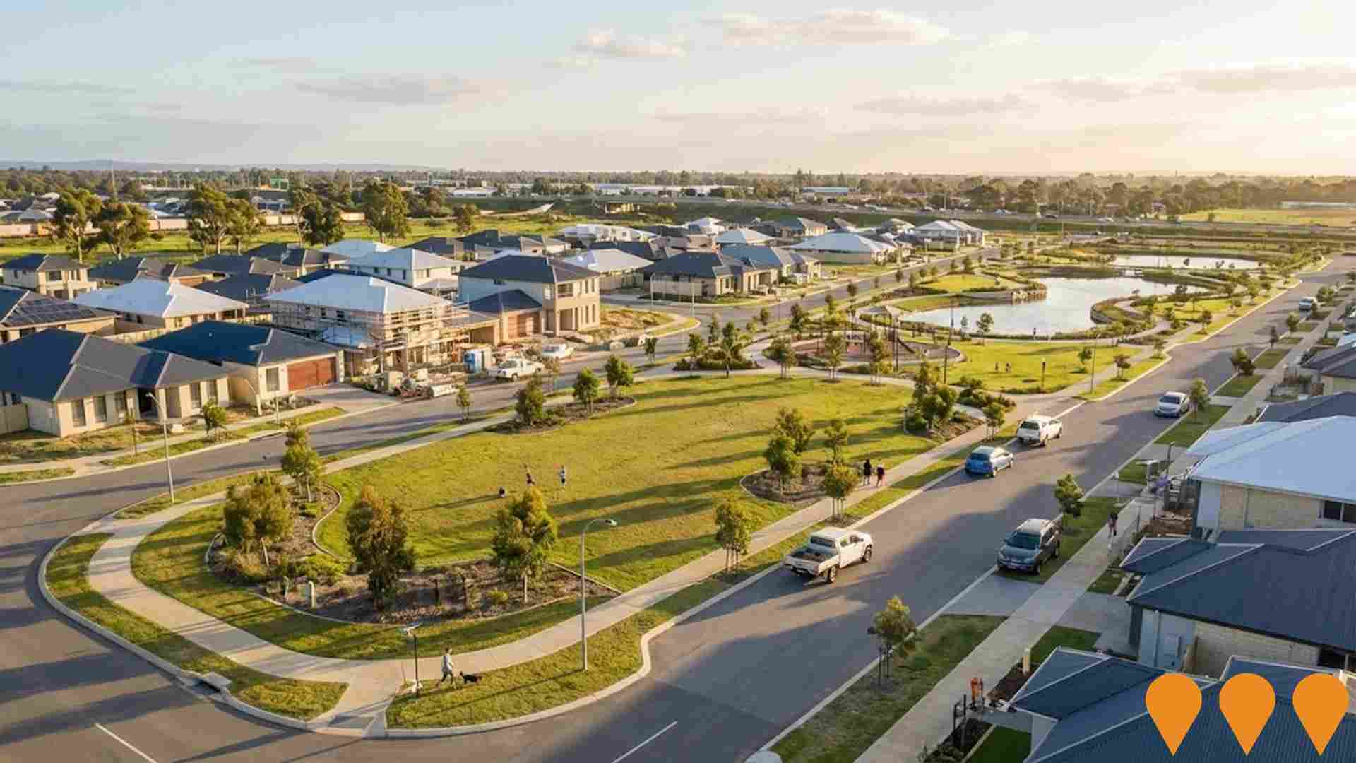
Large-scale residential subdivision and development area bounded by Tonkin Highway, Roe Highway, and Welshpool Road East. Operating under Infrastructure Cost Sharing Arrangement with current rate of $24,565 per lot. Multiple subdivisions creating new residential neighbourhoods with parks, artificial lakes, and walking/cycling paths.
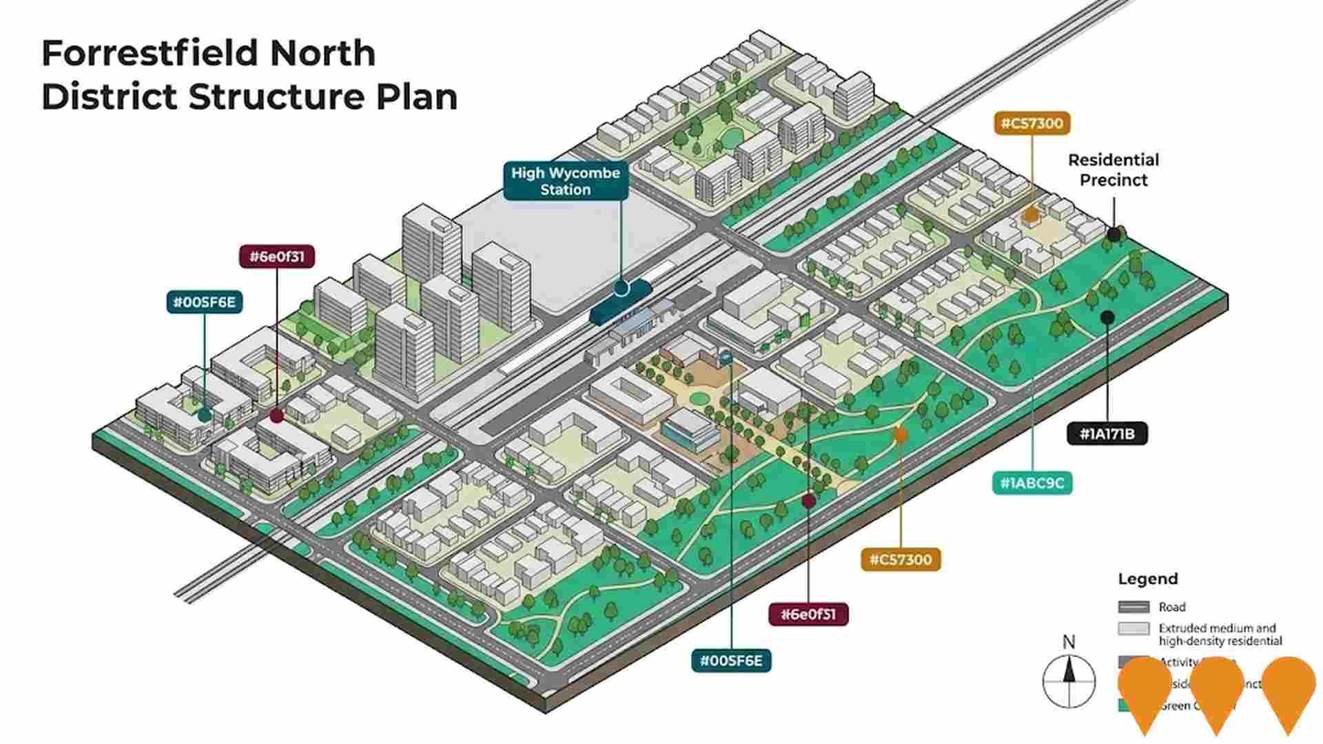
Forrestfield North District Structure Plan
The Forrestfield North District Structure Plan is the long term planning framework for land around High Wycombe Station, covering the High Wycombe South Residential Precinct, activity centre and surrounding employment areas. The District Structure Plan was approved by the Western Australian Planning Commission in 2016 and has since been supported by the Forrestfield North Residential Precinct Local Structure Plan and Amendment No. 1, the METRONET East Redevelopment Scheme, and the METRONET East High Wycombe Structure Plan and Design Guidelines. Together these documents enable a transit oriented community with around 3,500 medium and high density dwellings, a new activity centre, community and recreation hub, green corridors and conservation areas, all integrated with the Forrestfield Airport Link and METRONET East station precinct.
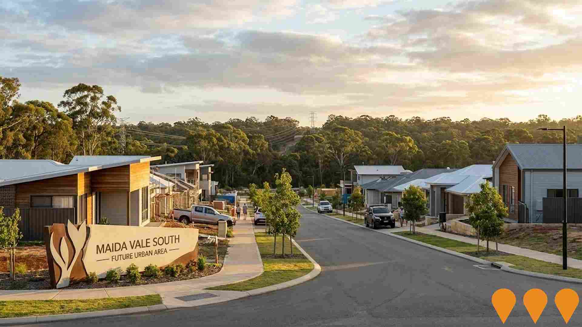
Maida Vale South Urban Investigation Area
177.53 hectare urban investigation area bounded by Roe Highway, Sultana Road East, Hawtin Road and Maida Vale Cell 6. Metropolitan Region Scheme amendment to rezone from Rural to Urban Deferred for future residential development.
Employment
Employment performance in Forrestfield - Wattle Grove has been broadly consistent with national averages
Forrestfield - Wattle Grove has a skilled workforce with manufacturing and industrial sectors well-represented. The unemployment rate was 4.0% in September 2025, similar to Greater Perth's rate.
Employment growth over the past year was estimated at 2.2%. As of September 2025, 12,295 residents were employed, with health care & social assistance, construction, and retail trade being leading employment industries. The area had a notable concentration in transport, postal & warehousing, with employment levels at 2.0 times the regional average. However, professional & technical services employed only 5.6% of local workers, below Greater Perth's 8.2%.
Many residents commute elsewhere for work based on Census data. Between September 2024 and September 2025, employment levels increased by 2.2%, labour force increased by 2.3%, causing the unemployment rate to rise by 0.1 percentage points. State-level data from 25-Nov shows WA employment contracted by 0.27% with an unemployment rate of 4.6%. National employment forecasts suggest growth of 6.6% over five years and 12.8% over ten years for Forrestfield - Wattle Grove, based on industry-specific projections.
Frequently Asked Questions - Employment
Income
Income analysis reveals strong economic positioning, with the area outperforming 60% of locations assessed nationally by AreaSearch
Forrestfield - Wattle Grove SA2 had a median taxpayer income of $55,706 and an average of $65,284 in financial year 2022, according to postcode level ATO data aggregated by AreaSearch. This was approximately average nationally, compared to Greater Perth's median income of $58,380 and average income of $78,020. By September 2025, estimates suggest the median would be approximately $63,616 and the average $74,554, based on a 14.2% Wage Price Index growth since financial year 2022. In Forrestfield - Wattle Grove, household, family, and personal incomes clustered around the 57th percentile nationally in 2021 Census figures. The $1,500 - 2,999 income bracket dominated with 36.9% of residents (8,325 people), similar to regional levels where 32.0% occupied this bracket. High housing costs consumed 15.9% of income, yet strong earnings placed disposable income at the 56th percentile nationally. The area's SEIFA income ranking placed it in the 5th decile.
Frequently Asked Questions - Income
Housing
Forrestfield - Wattle Grove is characterized by a predominantly suburban housing profile, with a higher proportion of rental properties than the broader region
Forrestfield-Wattle Grove's dwelling structures, as per the latest Census, consisted of 91.6% houses and 8.3% other dwellings (semi-detached, apartments, 'other' dwellings). This compares to Perth metro's 93.9% houses and 6.1% other dwellings. Home ownership in Forrestfield-Wattle Grove stood at 26.8%, with mortgaged dwellings at 52.3% and rented ones at 20.9%. The median monthly mortgage repayment was $1,800, below Perth metro's average of $1,907. Weekly rent median was $360, compared to Perth metro's $370. Nationally, Forrestfield-Wattle Grove's mortgage repayments were lower than the Australian average of $1,863, and rents were less than the national figure of $375.
Frequently Asked Questions - Housing
Household Composition
Forrestfield - Wattle Grove has a typical household mix, with a higher-than-average median household size
Family households comprise 74.7% of all households, including 36.1% couples with children, 25.3% couples without children, and 12.2% single parent families. Non-family households account for 25.3%, with lone person households at 22.3% and group households making up 3.0%. The median household size is 2.7 people, larger than the Greater Perth average of 2.6.
Frequently Asked Questions - Households
Local Schools & Education
Forrestfield - Wattle Grove shows below-average educational performance compared to national benchmarks, though pockets of achievement exist
Forrestfield-Wattle Grove has educational qualifications that trail regional benchmarks. 20.6% of residents aged 15+ hold university degrees, compared to Australia's 30.4%. Bachelor degrees are most common at 14.6%, followed by postgraduate qualifications (4.4%) and graduate diplomas (1.6%). Vocational credentials are prominent, with 39.5% of residents aged 15+ holding them - advanced diplomas at 10.6% and certificates at 28.9%.
Educational participation is high, with 29.9% currently enrolled in formal education. This includes 11.7% in primary education, 8.0% in secondary education, and 3.9% pursuing tertiary education.
Frequently Asked Questions - Education
Schools Detail
Nearby Services & Amenities
Transport
Transport servicing is good compared to other areas nationally based on assessment of service frequency, route connectivity and accessibility
Forrestfield-Wattle Grove has 174 active public transport stops. These comprise a mix of train and bus services. There are 21 individual routes operating in the area, collectively serving 3,238 weekly passenger trips.
Residents' accessibility to transport is rated as good, with an average distance of 224 meters to the nearest stop. On average, there are 462 trips per day across all routes, equating to approximately 18 weekly trips per individual stop.
Frequently Asked Questions - Transport
Transport Stops Detail
Health
The level of general health in Forrestfield - Wattle Grove is notably higher than the national average with prevalence of common health conditions low among the general population though higher than the nation's average across older, at risk cohorts
Forrestfield - Wattle Grove shows better-than-average health outcomes with a low prevalence of common conditions among its general population. However, older and at-risk cohorts have higher rates compared to national averages, with private health cover at approximately 52% of the total population (~11,821 people), slightly above Greater Perth's average of 55.7%.
Mental health issues and asthma are the most common conditions, affecting 7.8 and 7.1% of residents respectively. About 71.6% of residents report no medical ailments, compared to 69.2% in Greater Perth. The area has a lower proportion of residents aged 65 and over at 15.6% (3,517 people), compared to Greater Perth's 20.2%.
Frequently Asked Questions - Health
Cultural Diversity
Forrestfield - Wattle Grove was found to be more culturally diverse than the vast majority of local markets in Australia, upon assessment of a range of language and cultural background related metrics
Forrestfield-Wattle Grove has a higher cultural diversity than most local areas, with 23.9% of its population speaking a language other than English at home and 34.0% born overseas. Christianity is the predominant religion in Forrestfield-Wattle Grove, comprising 42.5% of the population. However, Islam is overrepresented compared to Greater Perth, making up 5.6% versus 2.3%.
The top three ancestry groups are English (27.0%), Australian (23.2%), and Other (12.7%). Notably, Maori (1.1%) and Indian (4.1%) populations are higher than the regional averages of 0.8% and 1.9%, respectively.
Frequently Asked Questions - Diversity
Age
Forrestfield - Wattle Grove's population is slightly younger than the national pattern
Forrestfield-Wattle Grove's median age is nearly 36 years, close to Greater Perth's average of 37 but slightly below Australia's median of 38. Compared to Greater Perth, Forrestfield-Wattle Grove has a higher proportion of residents aged 5-14 (14.1%) but fewer residents aged 25-34 (12.5%). Between the 2021 Census and now, the population aged 15-24 has increased from 11.3% to 12.6%, while those aged 75-84 have risen from 3.9% to 5.0%. Conversely, the proportion of residents aged 25-34 has decreased from 13.4% to 12.5%. By 2041, Forrestfield-Wattle Grove's age profile is projected to change significantly. The 75-84 cohort is expected to grow by 84%, adding 942 residents to reach 2,068. Residents aged 65 and above are anticipated to drive 55% of population growth, indicating a trend towards demographic aging. Meanwhile, the populations aged 0-4 and 5-14 are projected to decrease.
