Chart Color Schemes
This analysis uses ABS Statistical Areas Level 2 (SA2) boundaries, which can materially differ from Suburbs and Localities (SAL) even when sharing similar names.
SA2 boundaries are defined by the Australian Bureau of Statistics and are designed to represent communities for statistical reporting (e.g., census and ERP).
Suburbs and Localities (SAL) represent commonly-used suburb/locality names (postal-style areas) and may use different geographic boundaries. For comprehensive analysis, consider reviewing both boundary types if available.
est. as @ -- *
ABS ERP | -- people | --
2021 Census | -- people
Sales Activity
Curious about local property values? Filter the chart to assess the volume and appreciation (including resales) trends and regional comparisons, or scroll to the map below view this information at an individual property level.
Find a Recent Sale
Sales Detail
Population
Population growth drivers in Traralgon - West are strong compared to national averages based on AreaSearch's ranking of recent, and medium to long-term trends
Traralgon-West's population is approximately 17,521 as of November 2025. This figure shows an increase of 699 people since the 2021 Census, which recorded a population of 16,822. The growth is inferred from ABS' estimated resident population of 17,224 in June 2024 and additional validated new addresses since the Census date. This results in a density ratio of 423 persons per square kilometer. Over the past decade, Traralgon-West has shown resilient growth with a compound annual growth rate of 1.1%, outperforming its SA3 area. Overseas migration contributed approximately 56.3% of overall population gains recently.
AreaSearch uses ABS/Geoscience Australia projections for each SA2 area released in 2024, based on 2022 data. For areas not covered, it employs VIC State Government's Regional/LGA projections from 2023 with adjustments made using weighted aggregation of population growth from LGA to SA2 levels. Growth rates by age group are applied across all areas for years 2032 to 2041. Future trends indicate a significant population increase in Traralgon-West, forecasted to expand by 4,046 persons to 2041 based on the latest annual ERP population numbers, reflecting an overall gain of 21.4%.
Frequently Asked Questions - Population
Development
AreaSearch analysis of residential development drivers sees Traralgon - West recording a relatively average level of approval activity when compared to local markets analysed countrywide
Traralgon - West has seen approximately 81 new homes approved annually. Over the past five financial years, from FY21 to FY25, a total of 407 homes were approved, with an additional 12 approved so far in FY26. On average, over these five years, around 1.8 new residents arrived per new home.
This indicates a balance between supply and demand, maintaining stable market conditions. The average construction cost of new dwellings was $231,000, which is below regional levels, suggesting more affordable housing options for buyers. In FY26, there have been $1 million in commercial approvals, reflecting the area's residential focus.
Compared to the rest of Victoria, Traralgon - West shows similar construction activity per capita, indicating a balanced market consistent with the broader region. Recent construction has comprised 98.0% detached houses and 2.0% medium and high-density housing, preserving the area's traditional low-density character favoring family homes. The estimated population density is 522 people per dwelling approval, reflecting its quiet development environment. According to AreaSearch's latest quarterly estimate, Traralgon - West is projected to add 3,749 residents by 2041. If current development rates continue, housing supply may struggle to keep pace with population growth, potentially intensifying buyer competition and supporting price increases.
Frequently Asked Questions - Development
Infrastructure
Traralgon - West has moderate levels of nearby infrastructure activity, ranking in the top 50% nationally
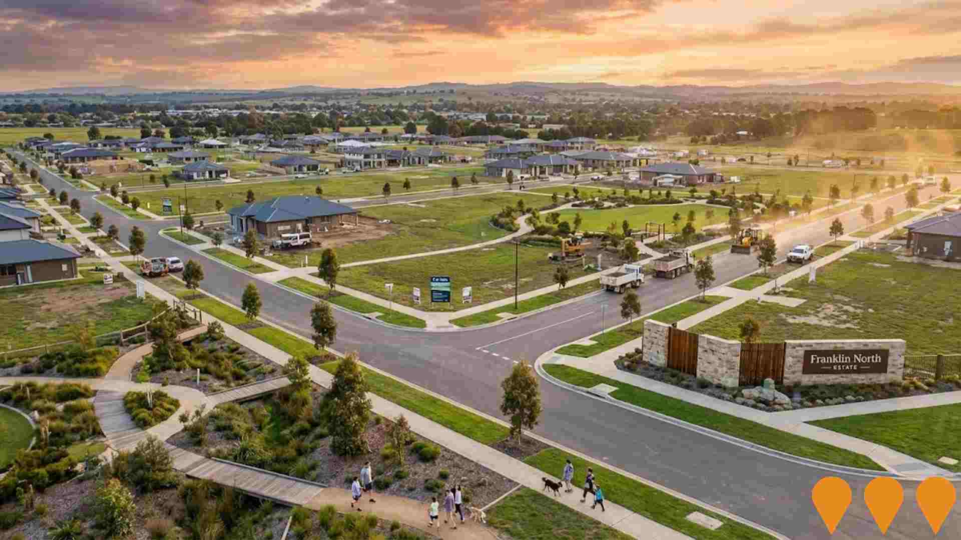
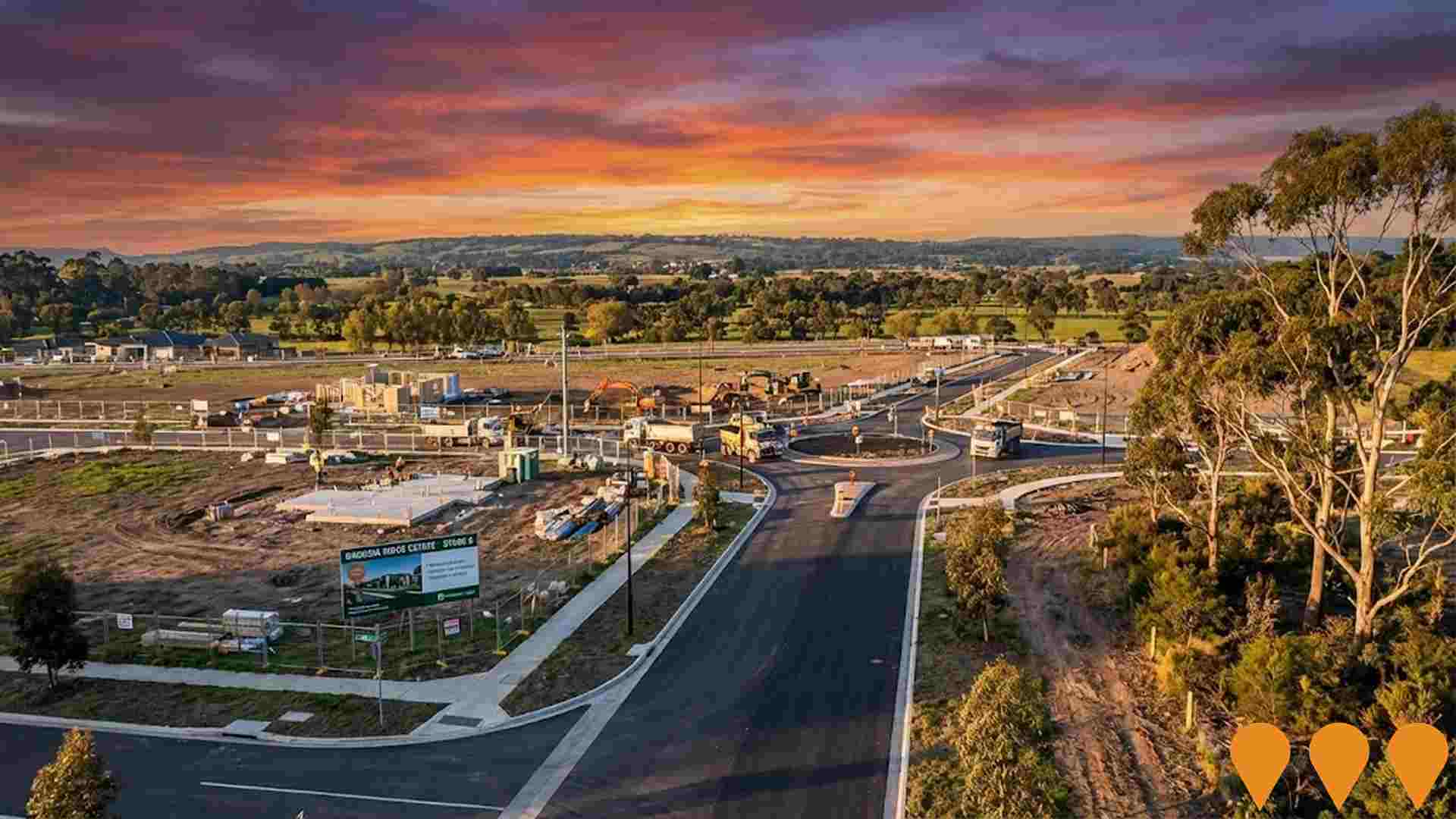
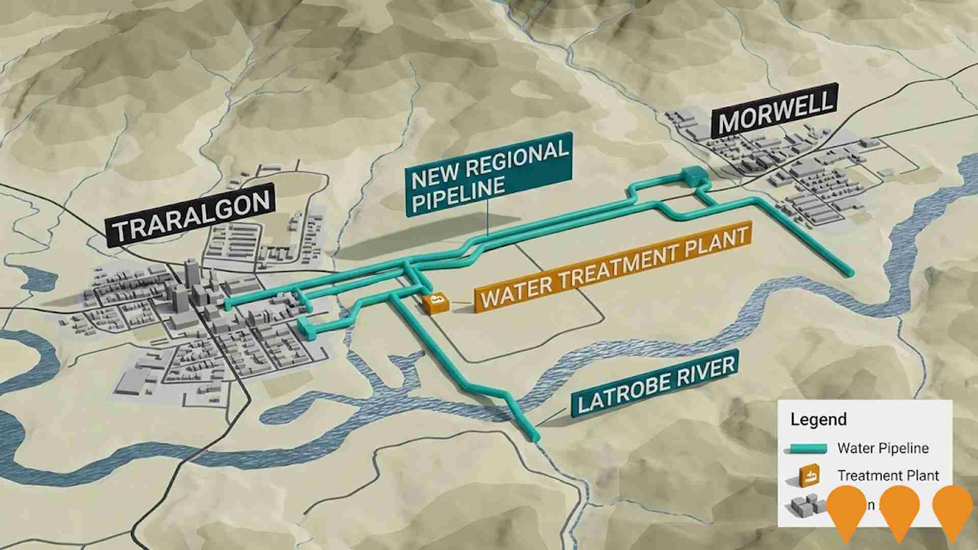
Changes to local infrastructure significantly influence an area's performance. AreaSearch has identified 16 projects that may impact this region. Notable projects include Traralgon Youth Prevention and Recovery Care Centre, Franklin North Estate, Stockdale Fields Estate, and Traralgon Bypass Planning Project. The following list details those most relevant:.
Professional plan users can use the search below to filter and access additional projects.
INFRASTRUCTURE SEARCH
 Denotes AI-based impression for illustrative purposes only, not to be taken as definitive under any circumstances. Please follow links and conduct other investigations from the project's source for actual imagery. Developers and project owners wishing us to use original imagery please Contact Us and we will do so.
Frequently Asked Questions - Infrastructure
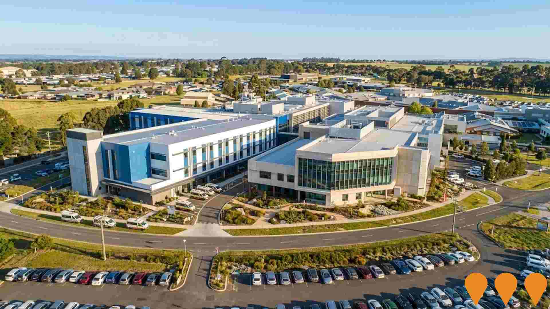
Latrobe Regional Hospital Expansion Stage 3A
Government delivered expansion of Latrobe Regional Hospital providing an expanded maternity unit, three operating theatres, 44 inpatient beds, 14 medical and surgical beds, six ICU beds, a new ED resuscitation bay, medical imaging and pathology, CSSD, and a $6.5m six-bed ED mental health, alcohol and other drugs hub. Construction completed in early 2024.
Traralgon North Growth Area
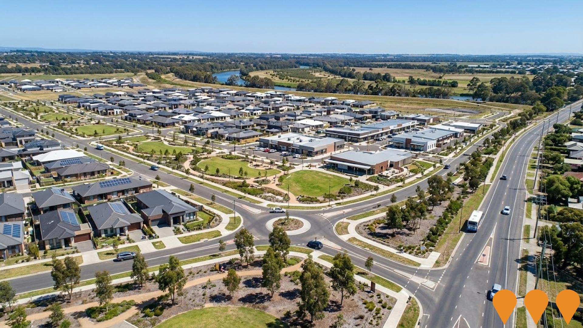
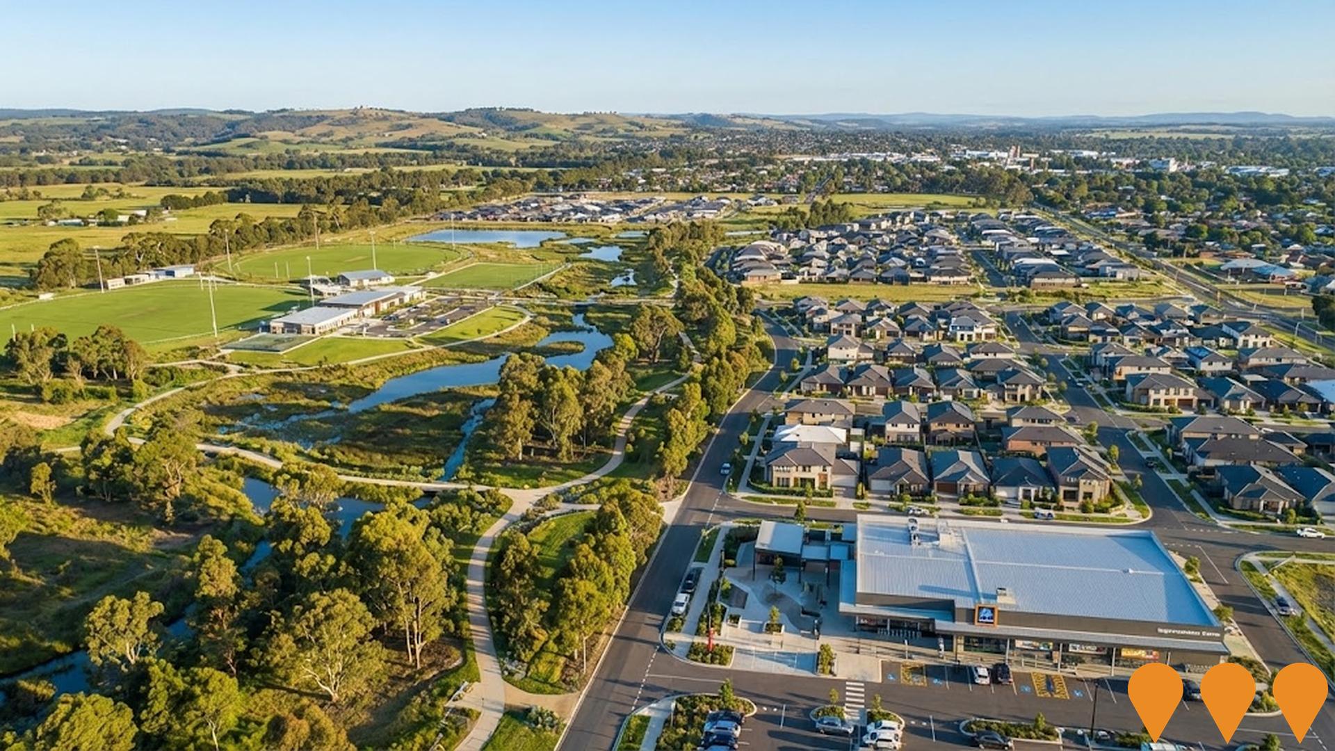
Major greenfield urban growth area in north Traralgon delivering approximately 1,500 new homes, a neighbourhood activity centre with supermarket, community hub, sporting reserves, wetlands, parks and supporting infrastructure. Development is progressing in stages with multiple builders and developers active.
Traralgon Youth Prevention and Recovery Care Centre
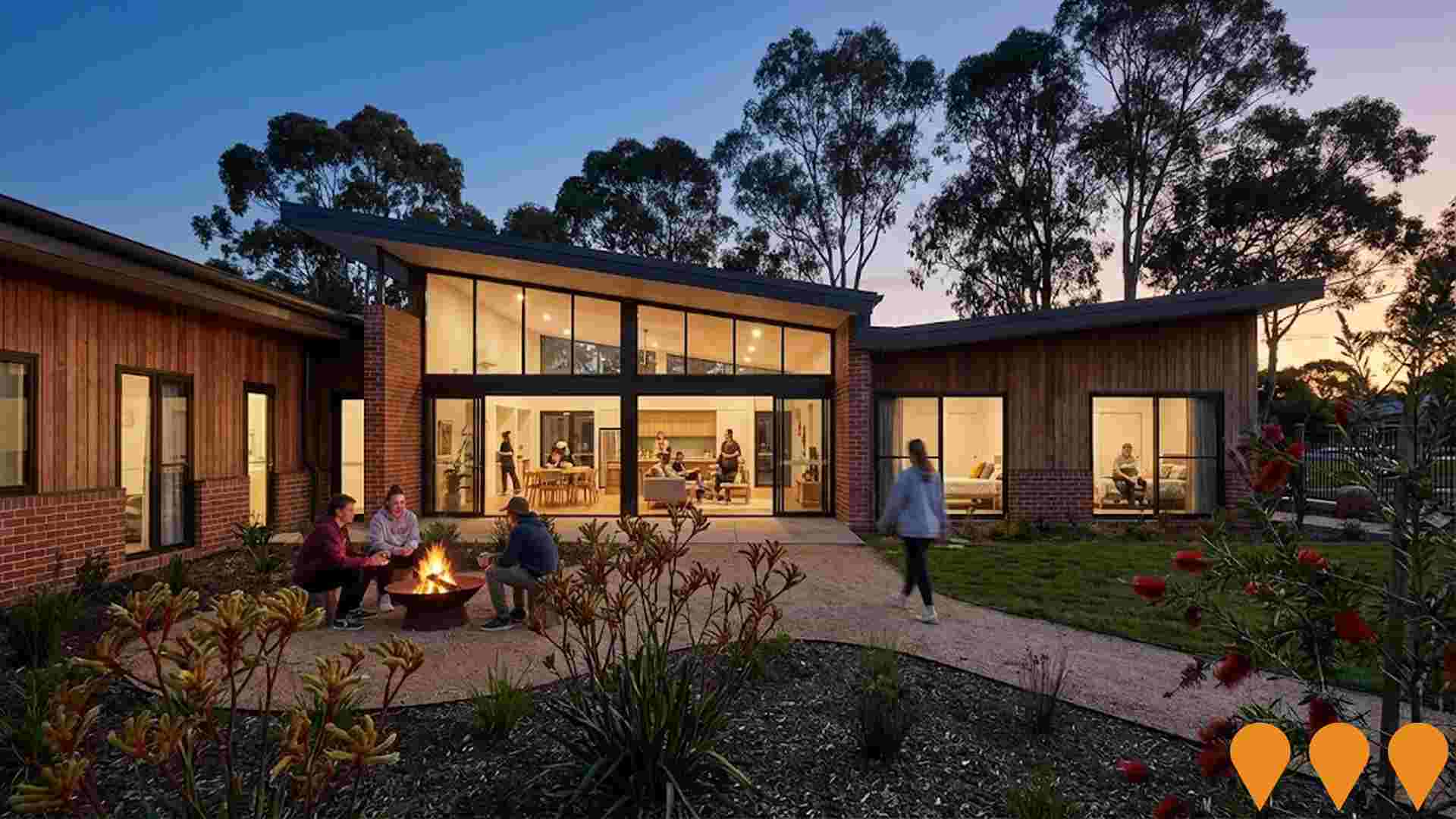
A new 10-bed residential Youth Prevention and Recovery Care (PARC) service for young people aged 16-25 experiencing mental health challenges. The facility provides sub-acute care in a home-like environment with private bedrooms and ensuites, communal living areas, kitchen, dining, breakout spaces and outdoor gardens. Delivered as part of Victorias $141 million Youth PARC expansion program in response to the Royal Commission into Victorias Mental Health System.
Coles Traralgon Village
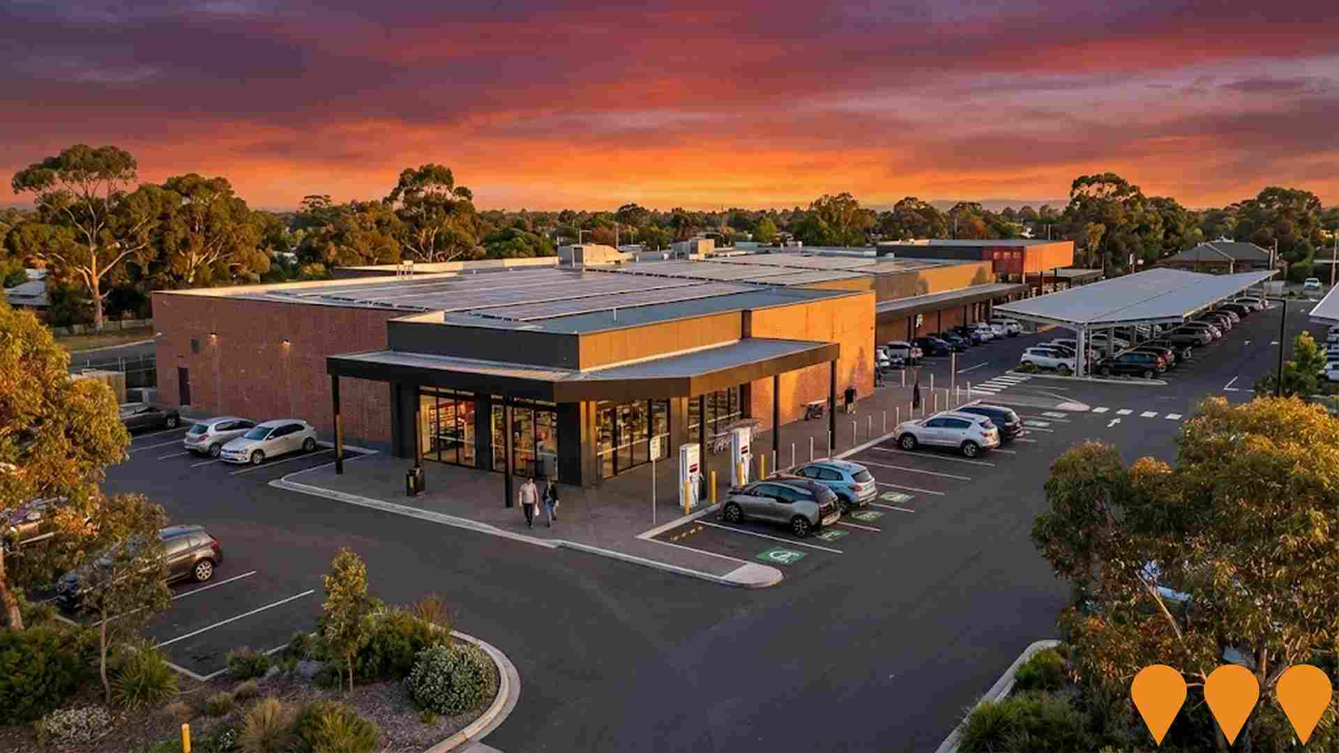
$27 million retail development featuring Coles supermarket, Liquorland, specialty retailers, pharmacy, cafe, and childcare centre with 225 car spaces including covered and 4 electric charging bays. Features 565 solar panels providing approximately 24.4% of the supermarket's energy needs, and sustainable car park using TonerPlas from recycled materials.
Traralgon Bypass Planning Project
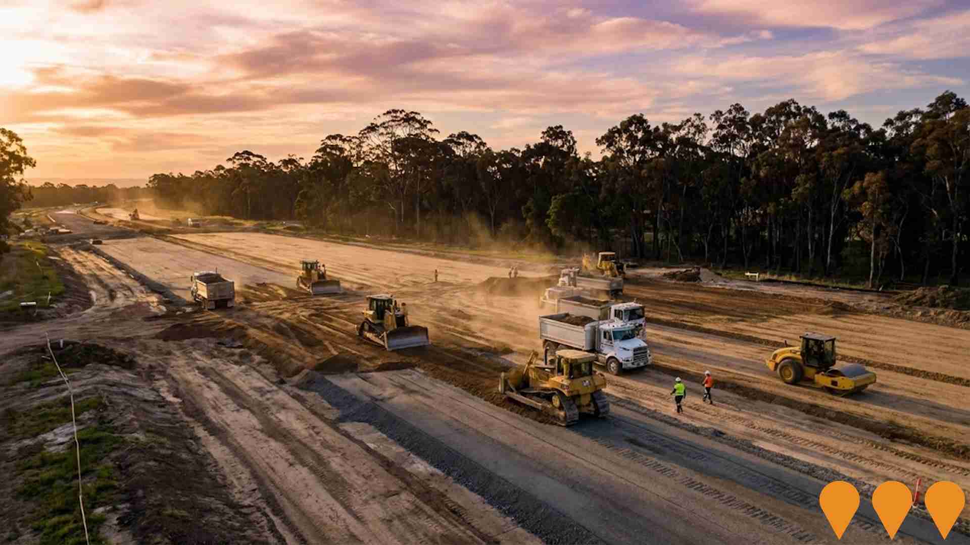
Planning study for a highway bypass around Traralgon to improve road safety, reduce congestion, and enhance transport connectivity. The project is currently on hold pending resolution of the Loy Yang Mine rehabilitation requirements, as the proposed bypass route may impact future mine rehabilitation options. Originally announced with $1.4 million in planning funding in 2017, the project has been identified as the highest priority transport infrastructure project east of Melbourne.
Glengarry Flood Mitigation - Design and Construction (Stage 1)
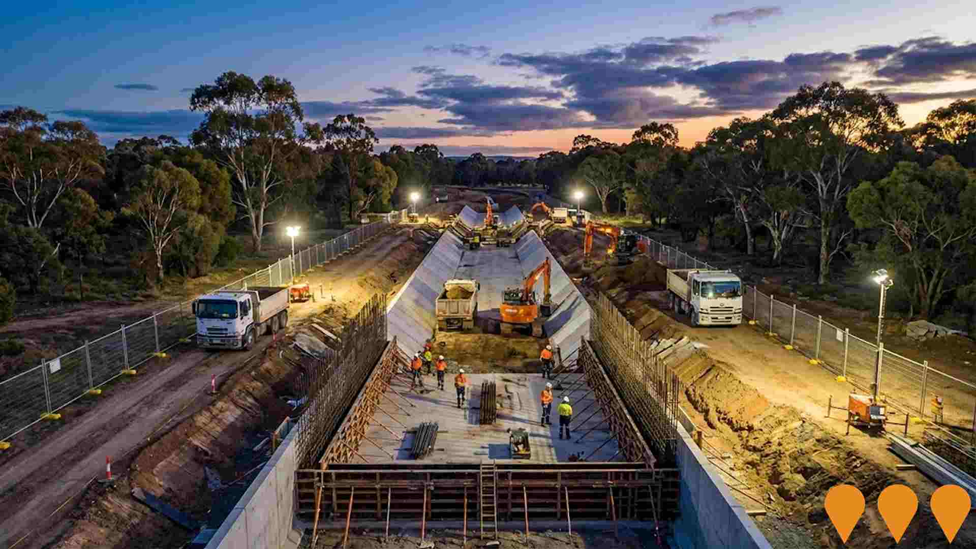
Stage 1 flood mitigation works for Glengarry focused on a cut-off drain along Brooks Lane to block the eastern flow path into the township, with future stages to upgrade pipes/storage and divert western flows. Co-funded through the Australian Government's Disaster Ready Fund and delivered by Latrobe City Council.
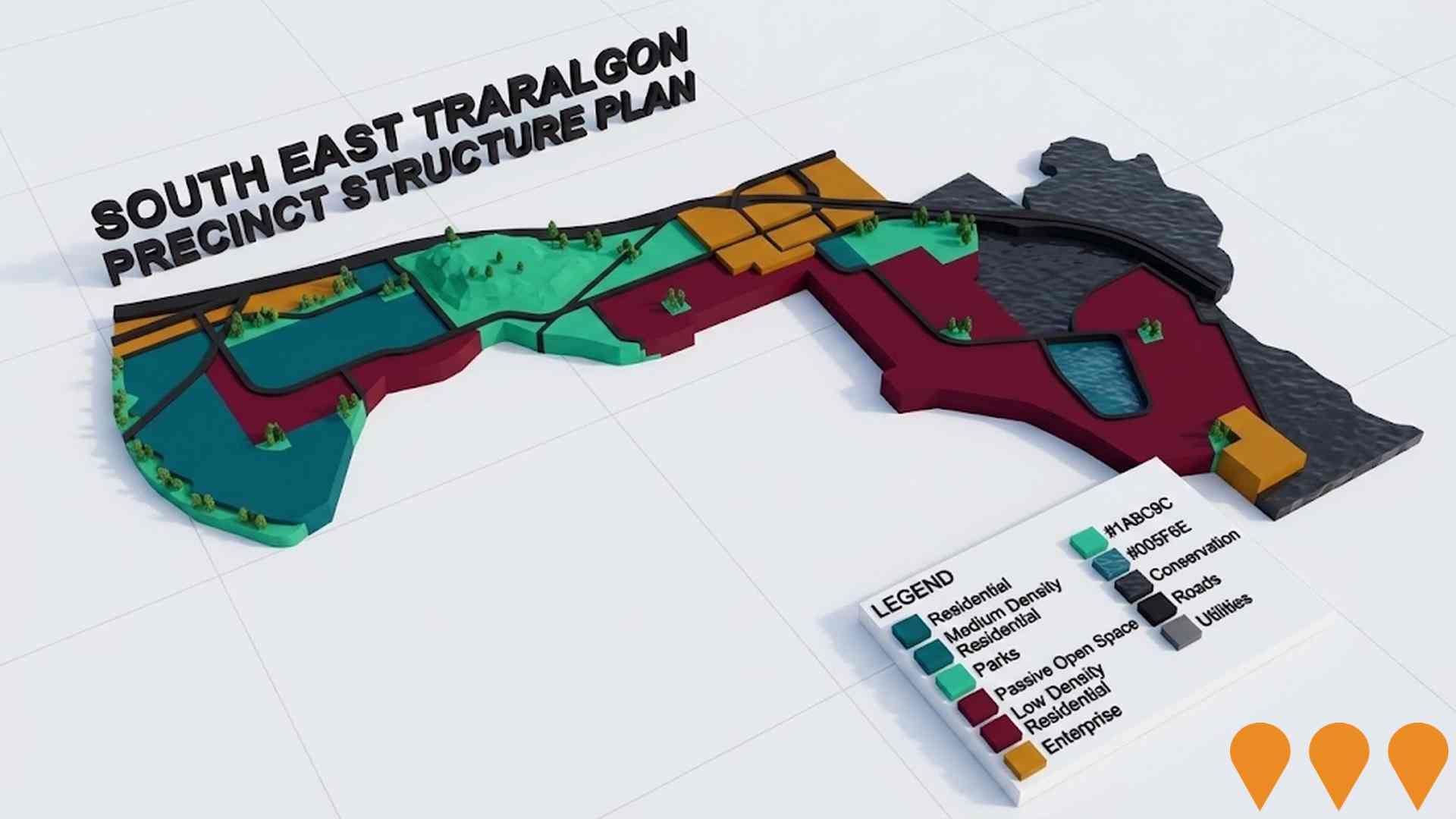
South East Traralgon Precinct Structure Plan
A precinct structure plan for 187 hectares guiding long-term residential development with roads, shopping centers, schools, parks, housing, employment areas and infrastructure. Draft PSP completed but awaiting Ministerial authorization after geotechnical concerns were addressed in 2022 study.
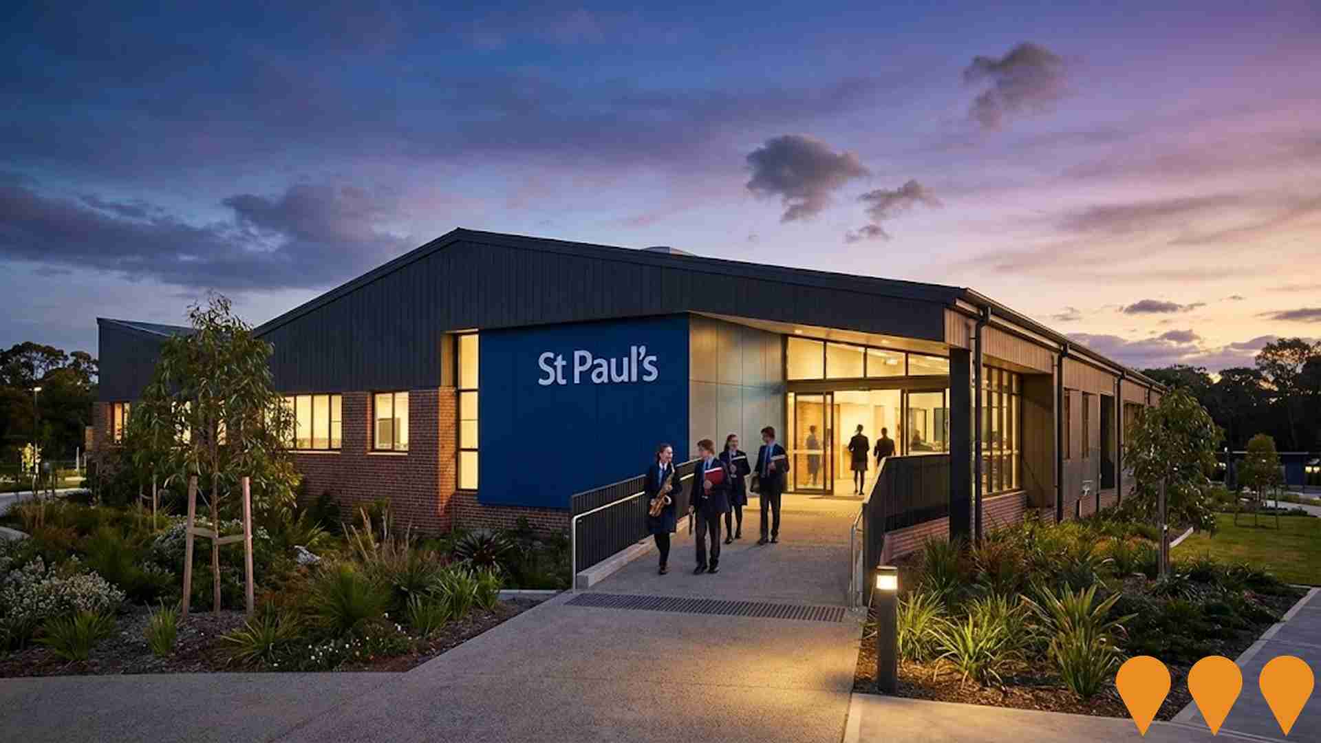
St Paul's Anglican Grammar School Futures Centre
A striking multi-level building featuring outstanding performing arts facilities, modern secondary library, spacious open cafeteria, community hub, and diverse student learning and gathering spaces. The state-of-the-art facility prepares the campus for VCE delivery from 2026 and supports the school's expansion to Years 11 and 12. The building won the 2024 Master Builders Victoria Regional Building Awards Eastern Region for its complex combination of integrated learning and performance spaces with distinct audio and spatial requirements.
Employment
AreaSearch assessment positions Traralgon - West ahead of most Australian regions for employment performance
Traralgon - West has a skilled workforce with well-represented essential services sectors. The unemployment rate was 3.2% in September 2025, which is 0.6% lower than the Rest of Vic.'s rate of 3.8%.
Employment growth over the past year was estimated at 4.5%. There were 9,176 residents employed while workforce participation was 62.6%, compared to the Rest of Vic.'s 57.4%. Employment is concentrated in health care & social assistance, construction, and public administration & safety. The area has a significant employment specialization in electricity, gas, water & waste with an employment share of 4.1 times the regional level.
Conversely, agriculture, forestry & fishing shows lower representation at 1.5% versus the regional average of 7.5%. Employment opportunities locally appear limited based on Census working population vs resident population comparison. Between September 2024 and September 2025, employment increased by 4.5% while labour force increased by 4.1%, decreasing the unemployment rate by 0.4 percentage points. In contrast, Rest of Vic. experienced employment decline of 0.7% with a marginal rise in unemployment rate. State-level data to 25-Nov-25 shows VIC employment grew by 1.13% year-on-year, adding 41,950 jobs, with the state unemployment rate at 4.7%. Jobs and Skills Australia's national employment forecasts from May-25 suggest that national employment should expand by 6.6% over five years and 13.8% over ten years. Applying these projections to Traralgon - West's employment mix suggests local employment should increase by similar rates, considering the industry-specific growth patterns.
Frequently Asked Questions - Employment
Income
The economic profile demonstrates above-average performance, with income metrics exceeding national benchmarks based on AreaSearch comparative assessment
The median income of taxpayers in Traralgon - West SA2 was $57,097 and the average income was $72,107 in financial year 2022. These figures are higher than those for Rest of Vic., which had a median income of $48,741 and an average income of $60,693 in the same period. By September 2025, based on Wage Price Index growth of 12.16%, estimated incomes would be approximately $64,040 (median) and $80,875 (average). According to the 2021 Census, household, family, and personal incomes in Traralgon - West rank modestly, between the 43rd and 53rd percentiles. The largest income segment comprises 32.8% earning between $1,500 and $2,999 weekly (5,746 residents), similar to the broader area where this cohort also represents 30.3%. Housing costs are manageable with 88.0% retained. However, disposable income is below average at the 48th percentile, and the area's SEIFA income ranking places it in the 5th decile.
Frequently Asked Questions - Income
Housing
Traralgon - West is characterized by a predominantly suburban housing profile, with ownership patterns similar to the broader region
In Traralgon - West, as per the latest Census evaluation, 87.8% of dwellings were houses while 12.2% consisted of semi-detached homes, apartments, and other dwelling types. This is similar to Non-Metro Vic.'s figures of 88.1% houses and 11.9% other dwellings. Home ownership in Traralgon - West stood at 35.3%, with mortgaged properties making up 41.4% and rented dwellings accounting for 23.3%. The median monthly mortgage repayment in the area was $1,326, surpassing Non-Metro Vic.'s average of $1,213. Weekly rent median stood at $300 compared to Non-Metro Vic.'s $237. Nationally, Traralgon - West's mortgage repayments were significantly lower than the Australian average of $1,863, and rents were substantially below the national figure of $375.
Frequently Asked Questions - Housing
Household Composition
Traralgon - West has a typical household mix, with a higher-than-average median household size
Family households compose 67.8% of all households, including 28.0% couples with children, 27.4% couples without children, and 11.4% single parent families. Non-family households make up 32.2%, with lone person households at 29.2% and group households comprising 3.1%. The median household size is 2.4 people, larger than the Rest of Vic. average of 2.3.
Frequently Asked Questions - Households
Local Schools & Education
Educational attainment in Traralgon - West aligns closely with national averages, showing typical qualification patterns and performance metrics
The area's university qualification rate is 20.9%, significantly lower than Victoria's average of 33.4%. Bachelor degrees are the most common at 14.1%, followed by postgraduate qualifications (4.1%) and graduate diplomas (2.7%). Vocational credentials are prevalent, with 39.7% of residents aged 15+ holding them, including advanced diplomas (10.8%) and certificates (28.9%). Educational participation is high, with 28.8% currently enrolled in formal education, comprising 10.5% in primary, 8.2% in secondary, and 3.7% in tertiary education.
Educational participation is notably high, with 28.8% of residents currently enrolled in formal education. This includes 10.5% in primary education, 8.2% in secondary education, and 3.7% pursuing tertiary education.
Frequently Asked Questions - Education
Schools Detail
Nearby Services & Amenities
Transport
Transport servicing is low compared to other areas nationally based on assessment of service frequency, route connectivity and accessibility
Transport analysis in Traralgon - West shows 67 active transport stops operating, all of which are bus stops. These stops are served by 14 different routes, together offering 1,096 weekly passenger trips. The area's transport accessibility is rated as good, with residents typically located 227 meters from the nearest stop.
On average, there are 156 trips per day across all routes, which equates to around 16 weekly trips per individual stop.
Frequently Asked Questions - Transport
Transport Stops Detail
Health
Health performance in Traralgon - West is lower than average with prevalence of common health conditions notable across both younger and older age cohorts
Traralgon - West faces significant health challenges with notable prevalence of common health conditions across both younger and older age cohorts. The rate of private health cover is very high at approximately 55% of the total population (~9,689 people), compared to 50.2% across Rest of Vic..
The most common medical conditions are arthritis and mental health issues, impacting 9.3% and 9.3% of residents respectively. 64.4% declare themselves completely clear of medical ailments, compared to 60.1% across Rest of Vic.. The area has 19.2% of residents aged 65 and over (3,364 people), which is lower than the 21.2% in Rest of Vic.. Health outcomes among seniors present some challenges, broadly in line with the general population's health profile.
Frequently Asked Questions - Health
Cultural Diversity
Traralgon - West ranks below the Australian average when compared to other local markets across a number of language and cultural background related metrics
Traralgon-West showed low cultural diversity, with 89.2% being Australian citizens, 86.4% born in Australia, and 92.2% speaking English only at home. Christianity dominated Traralgon-West's religion scene, comprising 46.4%. Judaism was slightly overrepresented, at 0.1%, compared to the Rest of Vic's 0.1%.
Top ancestry groups were English (30.0%), Australian (29.2%), and Scottish (8.7%). Notably, Dutch (2.9% vs regional 2.9%), Maltese (1.1% vs 1.6%), and Italian (4.0% vs 3.4%) showed some overrepresentation.
Frequently Asked Questions - Diversity
Age
Traralgon - West's population aligns closely with national norms in age terms
The median age in Traralgon - West is 39 years, which is significantly lower than Rest of Vic.'s average of 43 but essentially aligned with Australia's median age of 38 years. Compared to Rest of Vic., Traralgon - West has a higher concentration of residents aged 25-34 (14.8%) but fewer residents aged 55-64 (10.8%). According to the 2021 Census, the population aged 15-24 grew from 11.1% to 12.1%, while the 55-64 age group declined from 12.2% to 10.8%. The 5-14 age group also decreased from 13.0% to 11.7%. By 2041, demographic projections indicate significant shifts in Traralgon - West's age structure. Notably, the 25-34 age group is projected to grow by 53%, reaching 3,972 people from 2,593. Conversely, the 55-64 cohort is expected to grow by a modest 2%, adding 43 people.
