Chart Color Schemes
This analysis uses ABS Statistical Areas Level 2 (SA2) boundaries, which can materially differ from Suburbs and Localities (SAL) even when sharing similar names.
SA2 boundaries are defined by the Australian Bureau of Statistics and are designed to represent communities for statistical reporting (e.g., census and ERP).
Suburbs and Localities (SAL) represent commonly-used suburb/locality names (postal-style areas) and may use different geographic boundaries. For comprehensive analysis, consider reviewing both boundary types if available.
est. as @ -- *
ABS ERP | -- people | --
2021 Census | -- people
Sales Activity
Curious about local property values? Filter the chart to assess the volume and appreciation (including resales) trends and regional comparisons, or scroll to the map below view this information at an individual property level.
Find a Recent Sale
Sales Detail
Population
Tenterfield has shown very soft population growth performance across periods assessed by AreaSearch
Based on AreaSearch's analysis, Tenterfield's population is around 7247 as of Nov 2025. This reflects an increase of 437 people (6.4%) since the 2021 Census, which reported a population of 6810 people. The change is inferred from the estimated resident population of 7088 from the ABS as of June 2024 and an additional 222 validated new addresses since the Census date. This level of population equates to a density ratio of 1.0 persons per square kilometer. Tenterfield's 6.4% growth since the 2021 census exceeded that of the SA3 area (2.9%), along with the SA4 region, marking it as a growth leader in the region. Population growth for the area was primarily driven by interstate migration, contributing approximately 83.0% of overall population gains during recent periods.
AreaSearch is adopting ABS/Geoscience Australia projections for each SA2 area, as released in 2024 with 2022 as the base year. For any SA2 areas not covered by this data, AreaSearch is utilising the NSW State Government's SA2 level projections, as released in 2022 with 2021 as the base year. Growth rates by age group from these aggregations are also applied to all areas for years 2032 to 2041. Over this period, projections indicate a decline in overall population, with the area's population expected to reduce by 603 persons by 2041 according to this methodology. However, growth across specific age cohorts is anticipated, led by the 85 and over age group, which is projected to grow by 199 people.
Frequently Asked Questions - Population
Development
AreaSearch analysis of residential development drivers sees Tenterfield recording a relatively average level of approval activity when compared to local markets analysed countrywide
Tenterfield has seen approximately 36 new homes approved annually. Over the past five financial years, from FY-21 to FY-25, around 180 homes were approved, with a further 21 approved in FY-26 so far. On average, about 1.6 people have moved to the area for each dwelling built over these five years.
This suggests balanced supply and demand dynamics, fostering stability in the market. The average construction cost of new properties is around $235,000, which is below the regional average, indicating more affordable housing options for buyers. In FY-26, there have been approximately $3.7 million in commercial approvals, suggesting limited focus on commercial development. Compared to the Rest of NSW, Tenterfield has 88.0% more building activity per person, offering greater choice for buyers.
However, development activity has moderated in recent periods. All recent development in Tenterfield has been comprised of detached houses, maintaining the area's traditional low density character and focusing on family homes that appeal to those seeking space. The location currently has approximately 254 people per dwelling approval, indicating potential room for growth. Given that the population is expected to remain stable or decline, there should be reduced pressure on housing in Tenterfield, potentially creating opportunities for buyers.
Frequently Asked Questions - Development
Infrastructure
Tenterfield has moderate levels of nearby infrastructure activity, ranking in the 40thth percentile nationally
Changes to local infrastructure significantly impact an area's performance. AreaSearch identified 16 projects likely affecting the region. Notable ones include Molesworth Street Bridge Replacement and Sewer Line Relocation, Tenterfield Heavy Vehicle Bypass, Haddington Aged Care Community Expansion, and Mt Lindesay Road Upgrade from Legume to Woodenbong. The following list details those most relevant.
Professional plan users can use the search below to filter and access additional projects.
INFRASTRUCTURE SEARCH
 Denotes AI-based impression for illustrative purposes only, not to be taken as definitive under any circumstances. Please follow links and conduct other investigations from the project's source for actual imagery. Developers and project owners wishing us to use original imagery please Contact Us and we will do so.
Frequently Asked Questions - Infrastructure
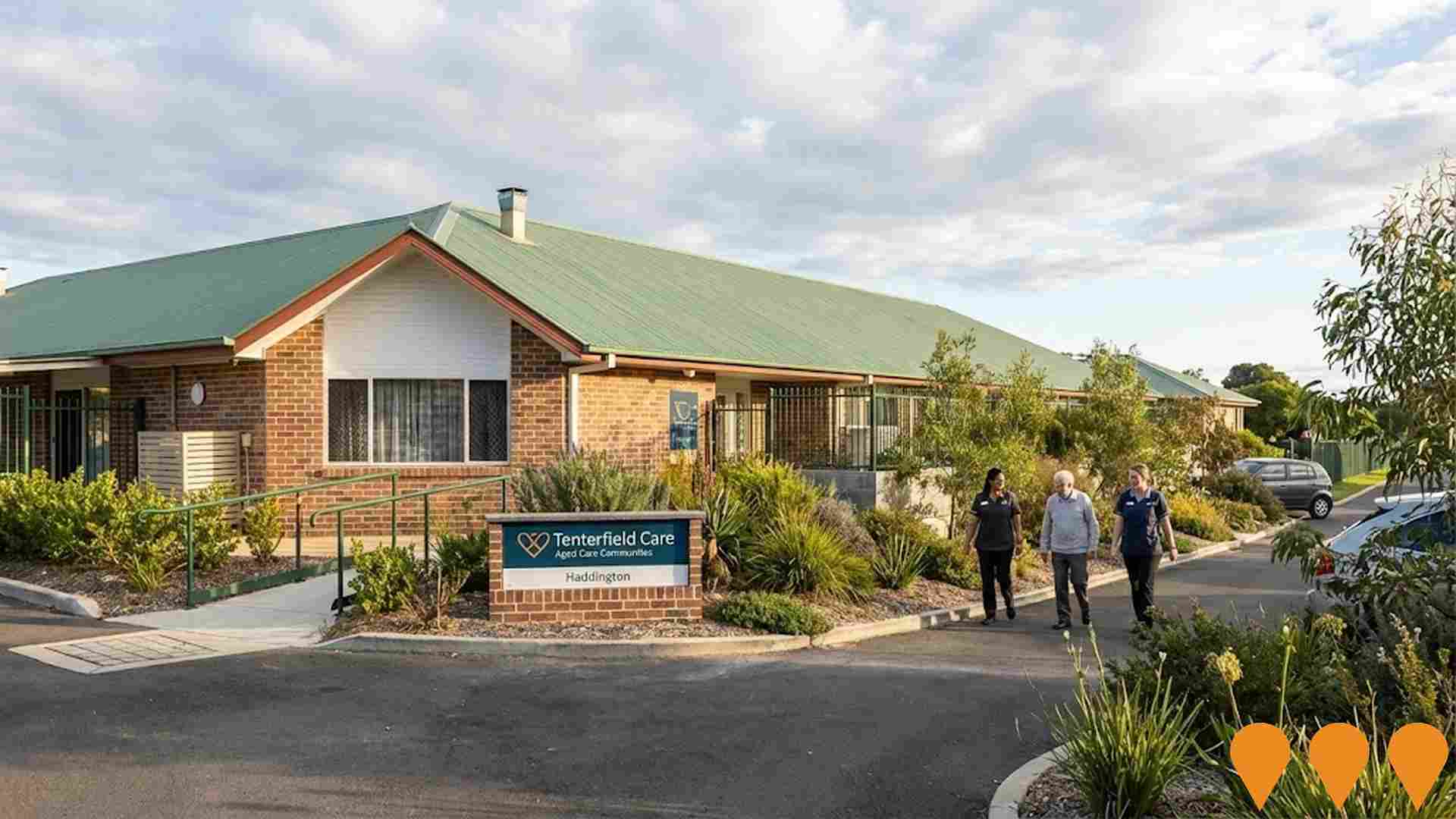
Haddington Aged Care Community Expansion
Expansion of Haddington Aged Care Community adding 28 new private suites with ensuites, increasing capacity from 82 to 110 beds. The $11 million project features a country-style interior, advanced technology for resident care and staff efficiency, and supports permanent, respite, and memory support care. The new wing was officially opened in December 2024.
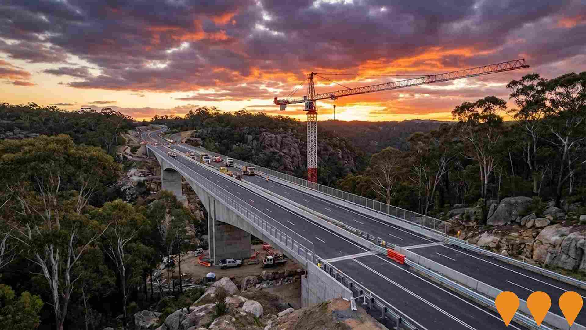
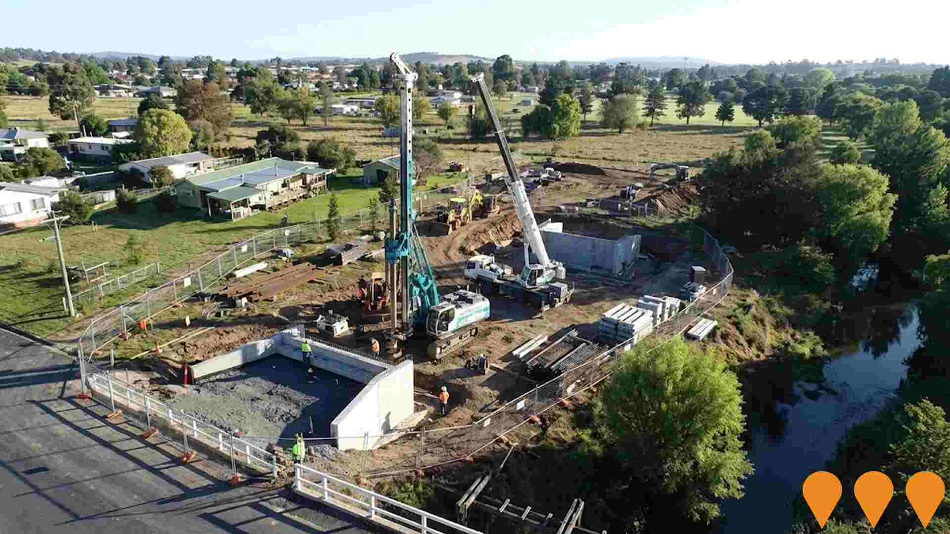
Molesworth Street Bridge Replacement and Sewer Line Relocation
Replacement of the flood-prone timber Molesworth Street Bridge over Tenterfield Creek with a resilient concrete structure to improve community connectivity and access to critical medical services during natural disasters. The project, funded by the Regional Roads Transport Recovery Package (approx. $9.988 million), also includes the relocation and betterment of the adjacent sewer line, which was damaged in early 2022. Geotechnical and planning work is complete, with construction scheduled to start mid-2025 and an active tender for bored piling closing in October 2025.
Emu Swamp Dam Project (Granite Belt Irrigation Project)
A proposed 12,074 ML irrigation dam and water-supply scheme on the Severn River, 15km south-west of Stanthorpe. It includes the dam, a pipeline distribution network, and irrigation channels for the Granite Belt region. The original Environmental Impact Statement (EIS) evaluation report lapsed in April 2023, and the project is currently being re-evaluated as part of the Queensland Government's Southern and Darling Downs Regional Water Assessment (RWA) due to increased cost estimates.

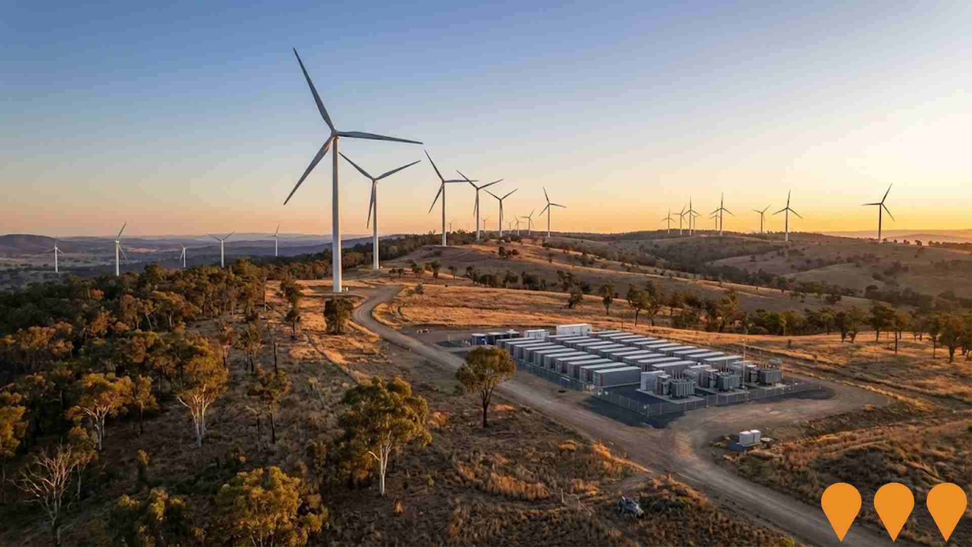
Pikedale Wind Farm
The proposed Pikedale Wind Farm is located approximately 20km west of Stanthorpe in Queensland's Southern Downs Renewable Energy Zone. The project comprises up to 204 wind turbines with a generation capacity of up to 1.3GW, along with battery energy storage system. The wind farm is expected to generate enough electricity to power around 647,000 homes and prevent 553,000 tonnes of carbon emissions annually. Squadron Energy completed community consultation in 2025 and is preparing to submit a development application to the State Assessment and Referral Agency (SARA) under Queensland's new impact assessment framework.
Bonshaw Solar Farm
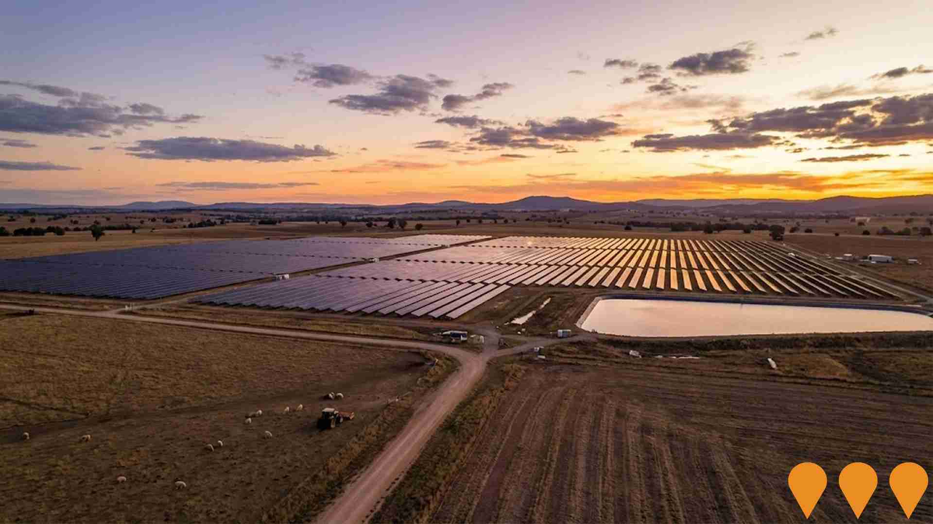
Development of a 100MW AC solar farm with 300MW lithium-ion battery energy storage facility and associated infrastructure. The project features ground-mounted solar PV modules on single-axis tracking mounts connected to the existing 330kV Transgrid Dumaresq substation. Expected to generate 560GWh annually, powering approximately 70,000 homes and offsetting 600,000 tonnes of CO2 emissions per year.

Warwick Solar Farm
Large-scale solar photovoltaic facility designed to generate clean renewable energy for the Queensland grid. The solar farm features thousands of solar panels across multiple hectares with battery storage capacity to provide consistent power supply. The project supports Queensland's renewable energy targets and provides local employment during construction and operation phases.
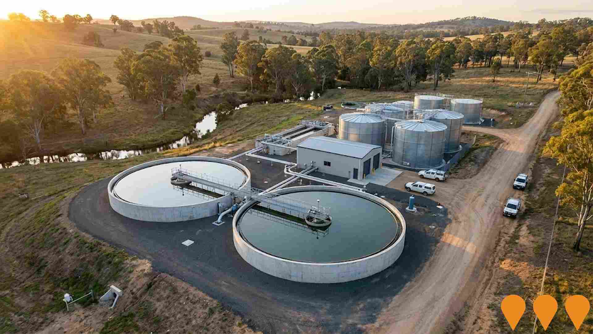
Stanthorpe Wastewater Treatment Plant Upgrade
Major upgrade of the aging Stanthorpe Wastewater Treatment Plant which has reached end of life. The project involves full design and renewal of the treatment facility using the latest technology to ensure capacity for growth, improved reliability, and compliance with changing environmental standards. Concept design has been completed and detailed design is underway before construction contractors are engaged.

14 Wallangarra Road Student Accommodation
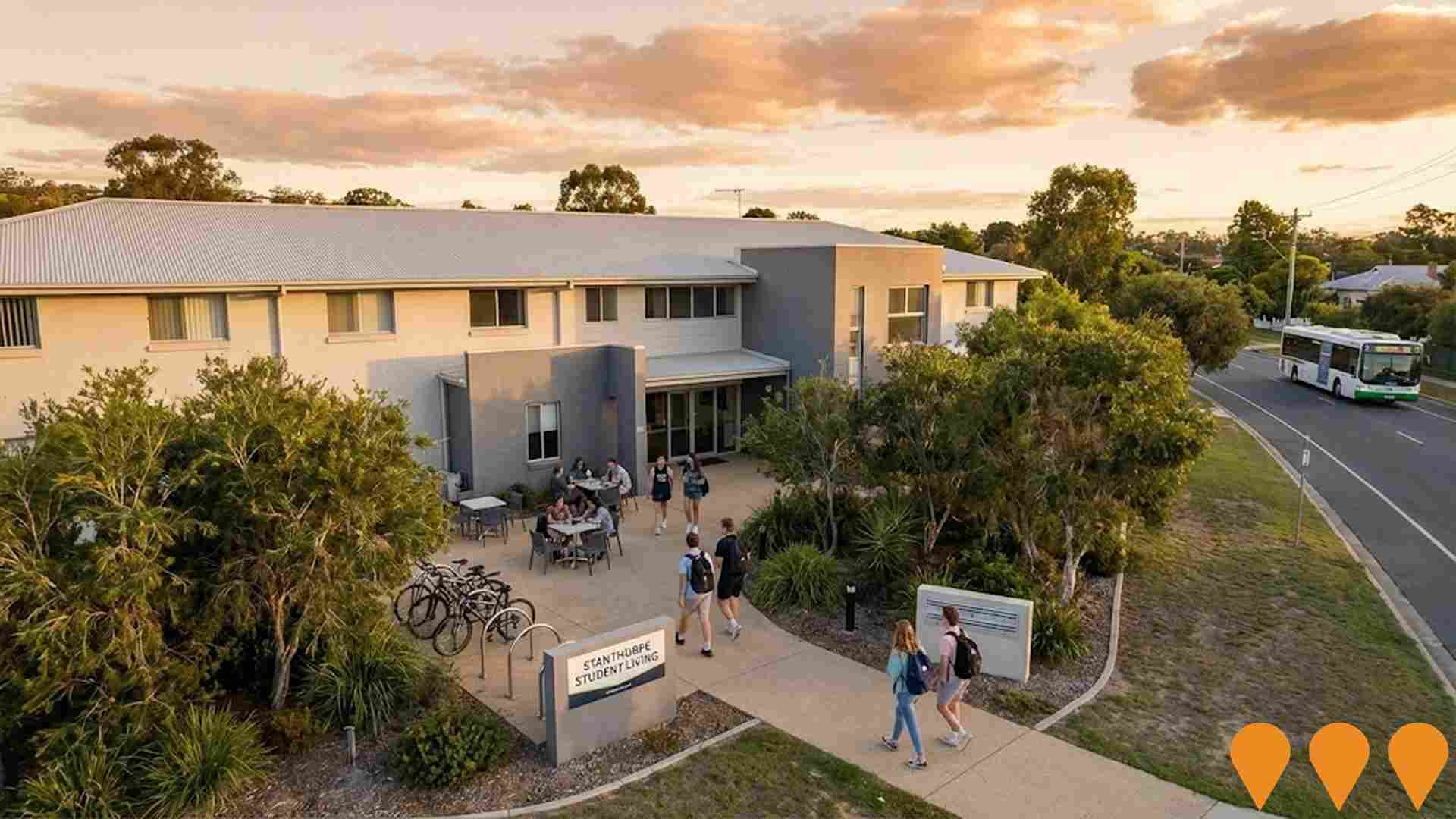
Adaptive reuse of a former aged care facility (Stanthorpe Nursing Home) into student accommodation. The facility comprises a 1,437 square meter building with 45 bedrooms on a 3,826 square meter corner site close to the Stanthorpe CBD. The development will provide housing for regional students attending educational facilities in Stanthorpe, including the Queensland College of Wine Tourism and supporting medical and vocational training placements in the Granite Belt region.
Employment
Tenterfield has seen below average employment performance when compared to national benchmarks
Tenterfield has a balanced workforce with both white and blue collar jobs, representing various sectors. The unemployment rate was 3.8% as of September 2025, with an estimated employment growth of 0.6% over the past year.
In that month, 3199 residents were employed, with the unemployment rate matching Rest of NSW's rate at 3.8%. However, workforce participation in Tenterfield was lower at 44.6%, compared to Rest of NSW's 56.4%. Major employment sectors among residents include agriculture, forestry & fishing, health care & social assistance, and retail trade. Agriculture, forestry & fishing is particularly notable with employment levels at 4.2 times the regional average.
Conversely, health care & social assistance is under-represented, comprising only 11.9% of Tenterfield's workforce compared to Rest of NSW's 16.9%. The area may have limited local employment opportunities, as indicated by Census data comparing working population and resident population. Over the year to September 2025, employment in Tenterfield increased by 0.6%, while labour force increased by 1.1%, leading to a rise in unemployment rate of 0.4 percentage points. Meanwhile, Rest of NSW experienced employment decline of 0.5% and labour force decline of 0.1%, with a similar unemployment rate increase. State-level data from 25-Nov shows NSW employment contracted by 0.03% (losing 2260 jobs), with the state unemployment rate at 3.9%. Nationally, the unemployment rate was 4.3%. Jobs and Skills Australia's national employment forecasts from May-25 project overall national employment growth of 6.6% over five years and 13.7% over ten years. Applying these projections to Tenterfield's employment mix suggests local employment should increase by approximately 5.5% over five years and 12.0% over ten years, based on a simple weighting extrapolation for illustrative purposes.
Frequently Asked Questions - Employment
Income
Income metrics place the area in the bottom 10% of locations nationally according to AreaSearch analysis
The Tenterfield SA2 had a median taxpayer income of $34,208 and an average of $42,367 in the financial year 2022, according to postcode level ATO data aggregated by AreaSearch. This is lower than national averages, with Rest of NSW having a median income of $49,459 and an average income of $62,998. By September 2025, estimated incomes would be approximately $38,522 (median) and $47,709 (average), based on Wage Price Index growth of 12.61% since financial year 2022. Census data indicates that household, family, and personal incomes in Tenterfield fall between the 1st and 3rd percentiles nationally. The $400 - 799 earnings band captures 34.0% of the community (2,463 individuals), contrasting with the broader area where the $1,500 - 2,999 bracket leads at 29.9%. The concentration of 46.2% in sub-$800 weekly brackets highlights economic challenges facing a significant portion of the community. Housing costs are modest, with 88.4% of income retained, but total disposable income ranks at just the 4th percentile nationally.
Frequently Asked Questions - Income
Housing
Tenterfield is characterized by a predominantly suburban housing profile, with above-average rates of outright home ownership
Tenterfield's dwelling structure, as per the latest Census, consisted of 95.5% houses and 4.4% other dwellings (semi-detached, apartments, 'other' dwellings), compared to Non-Metro NSW's 93.0% houses and 6.9% other dwellings. Home ownership in Tenterfield stood at 58.1%, with mortgaged dwellings at 22.3% and rented ones at 19.6%. The median monthly mortgage repayment was $1,083, below Non-Metro NSW's average of $1,100. The median weekly rent in Tenterfield was $240, matching Non-Metro NSW's figure. Nationally, Tenterfield's mortgage repayments were significantly lower than the Australian average of $1,863, and rents were substantially below the national figure of $375.
Frequently Asked Questions - Housing
Household Composition
Tenterfield features high concentrations of lone person households, with a lower-than-average median household size
Family households constitute 61.6% of all households, including 16.1% couples with children, 35.2% couples without children, and 9.6% single parent families. Non-family households account for the remaining 38.4%, with lone person households at 35.5% and group households comprising 2.9%. The median household size is 2.1 people, smaller than the Rest of NSW average of 2.3.
Frequently Asked Questions - Households
Local Schools & Education
Tenterfield faces educational challenges, with performance metrics placing it in the bottom quartile of areas assessed nationally
The area's university qualification rate is 15.6%, significantly lower than the NSW average of 32.2%. Bachelor degrees are most common at 11.4%, followed by postgraduate qualifications (2.1%) and graduate diplomas (2.1%). Vocational credentials are prevalent, with 39.5% of residents aged 15+ holding them. Advanced diplomas account for 9.8% and certificates for 29.7%.
Educational participation is high at 25.3%, including primary education (9.6%), secondary education (8.3%), and tertiary education (1.7%).
Frequently Asked Questions - Education
Schools Detail
Nearby Services & Amenities
Transport
Transport servicing is low compared to other areas nationally based on assessment of service frequency, route connectivity and accessibility
Tenterfield's public transport analysis shows 326 active stops operating within the area. These are a mix of bus services. They are served by 28 individual routes which collectively provide 293 weekly passenger trips.
Transport accessibility is rated good with residents typically located 316 meters from their nearest stop. Service frequency averages 41 trips per day across all routes, equating to approximately 0 weekly trips per individual stop.
Frequently Asked Questions - Transport
Transport Stops Detail
Health
Health performance in Tenterfield is a key challenge with a range of health conditions having marked impacts on both younger and older age cohorts
Tenterfield faces significant health challenges, with various conditions affecting both younger and older age groups. Private health cover is low at approximately 46%, covering around 3,348 people, compared to the national average of 55.3%.
The most prevalent medical conditions are arthritis (13.5%) and mental health issues (9.1%). Conversely, 58.3% report having no medical ailments, slightly lower than the Rest of NSW's 61.0%. Tenterfield has a higher proportion of residents aged 65 and over at 33.0% (2,388 people), compared to the Rest of NSW's 27.4%.
Frequently Asked Questions - Health
Cultural Diversity
The latest Census data sees Tenterfield placing among the least culturally diverse areas in the country when compared across a range of language and cultural background related metrics
Tenterfield showed lower cultural diversity, with 88.1% citizens, 90.3% born in Australia, and 96.8% speaking English only at home. Christianity was the predominant religion at 59.9%, compared to 64.8% across Rest of NSW. Top ancestral groups were English (31.5%), Australian (28.3%), and Irish (11.2%).
Notably, German ancestry was higher at 5.6% than the regional average of 3.9%. Scottish ancestry also exceeded the regional average at 9.3%, compared to 8.4%. However, Australian Aboriginal ancestry was lower at 5.1% than the regional average of 6.4%.
Frequently Asked Questions - Diversity
Age
Tenterfield ranks among the oldest 10% of areas nationwide
Tenterfield's median age is 55 years, which is significantly higher than the Rest of NSW average of 43 years and the national norm of 38 years. The age profile shows that those aged 65-74 are particularly prominent, making up 19.2% of the population, compared to the national average of 9.4%. Meanwhile, the 25-34 age group is smaller at 6.4%, compared to the Rest of NSW figure. Between 2021 and present, the 0-4 age group has grown from 3.9% to 5.7% while the 75-84 cohort increased from 9.3% to 10.5%. Conversely, the 55-64 age group declined from 17.5% to 16.1%, and the 65-74 group dropped from 20.4% to 19.2%. By 2041, demographic projections indicate that the 85+ cohort will rise significantly, increasing by 183 people (79%) from 232 to 416. This demographic aging trend continues as residents aged 65 and older account for all anticipated growth, while population declines are projected for the 25-34 and 5-14 age groups.
