Chart Color Schemes
This analysis uses ABS Statistical Areas Level 2 (SA2) boundaries, which can materially differ from Suburbs and Localities (SAL) even when sharing similar names.
SA2 boundaries are defined by the Australian Bureau of Statistics and are designed to represent communities for statistical reporting (e.g., census and ERP).
Suburbs and Localities (SAL) represent commonly-used suburb/locality names (postal-style areas) and may use different geographic boundaries. For comprehensive analysis, consider reviewing both boundary types if available.
est. as @ -- *
ABS ERP | -- people | --
2021 Census | -- people
Sales Activity
Curious about local property values? Filter the chart to assess the volume and appreciation (including resales) trends and regional comparisons, or scroll to the map below view this information at an individual property level.
Find a Recent Sale
Sales Detail
Population
Population growth drivers in Stanthorpe Surrounds are slightly above average based on AreaSearch's ranking of recent, and medium term trends
Stanthorpe Surrounds' population is approximately 6,631 as of November 2025. This represents an increase of 384 people, a 6.1% rise from the 2021 Census figure of 6,247. The change was inferred using ABS's estimated resident population of 6,499 in June 2024 and validated new addresses since the Census date. This results in a density ratio of 2.5 persons per square kilometer. Stanthorpe Surrounds' growth rate exceeded both SA4 region (5.5%) and SA3 area during this period. Interstate migration contributed approximately 53.8% to overall population gains, with other drivers also positive factors.
AreaSearch uses ABS/Geoscience Australia projections for each SA2 area released in 2024 with a base year of 2022. For areas not covered or years post-2032, Queensland State Government's SA2 area projections from 2023 using 2021 data are adopted. However, these state projections lack age category splits; thus, proportional growth weightings aligned with ABS Greater Capital Region projections (released in 2023 based on 2022 data) are applied. Demographically, Stanthorpe Surrounds is expected to increase by around 600 persons by 2041, reflecting a total increase of approximately 7.1% over the 17-year period based on latest annual ERP population numbers.
Frequently Asked Questions - Population
Development
AreaSearch analysis of residential development drivers sees Stanthorpe Surrounds recording a relatively average level of approval activity when compared to local markets analysed countrywide
Stanthorpe Surrounds has averaged approximately 22 new dwelling approvals per year over the past five financial years, totalling 110 homes. As of FY-26, 4 approvals have been recorded. Each dwelling built in the area between FY-21 and FY-25 attracted an average of 3 new residents per year. The average construction cost value for new homes is $238,000, which is below regional levels, indicating more affordable housing options.
In FY-26, there have been $2.4 million in commercial approvals, suggesting limited commercial development focus compared to residential growth. When compared to the Rest of Qld, Stanthorpe Surrounds has around three-quarters the rate of new dwelling approvals per person and ranks among the 44th percentile nationally, resulting in relatively constrained buyer choice and supporting interest in existing properties. This is consistent with the area's established nature and suggests potential planning limitations. All new construction since FY-21 has been comprised of detached dwellings, preserving the area's low density nature and attracting space-seeking buyers.
The estimated population per dwelling approval is 372 people, reflecting its quiet development environment. According to AreaSearch quarterly estimates, Stanthorpe Surrounds is projected to add 468 residents by 2041. At current development rates, new housing supply should comfortably meet demand, providing good conditions for buyers and potentially supporting population growth beyond current projections.
Frequently Asked Questions - Development
Infrastructure
Stanthorpe Surrounds has moderate levels of nearby infrastructure activity, ranking in the top 50% nationally
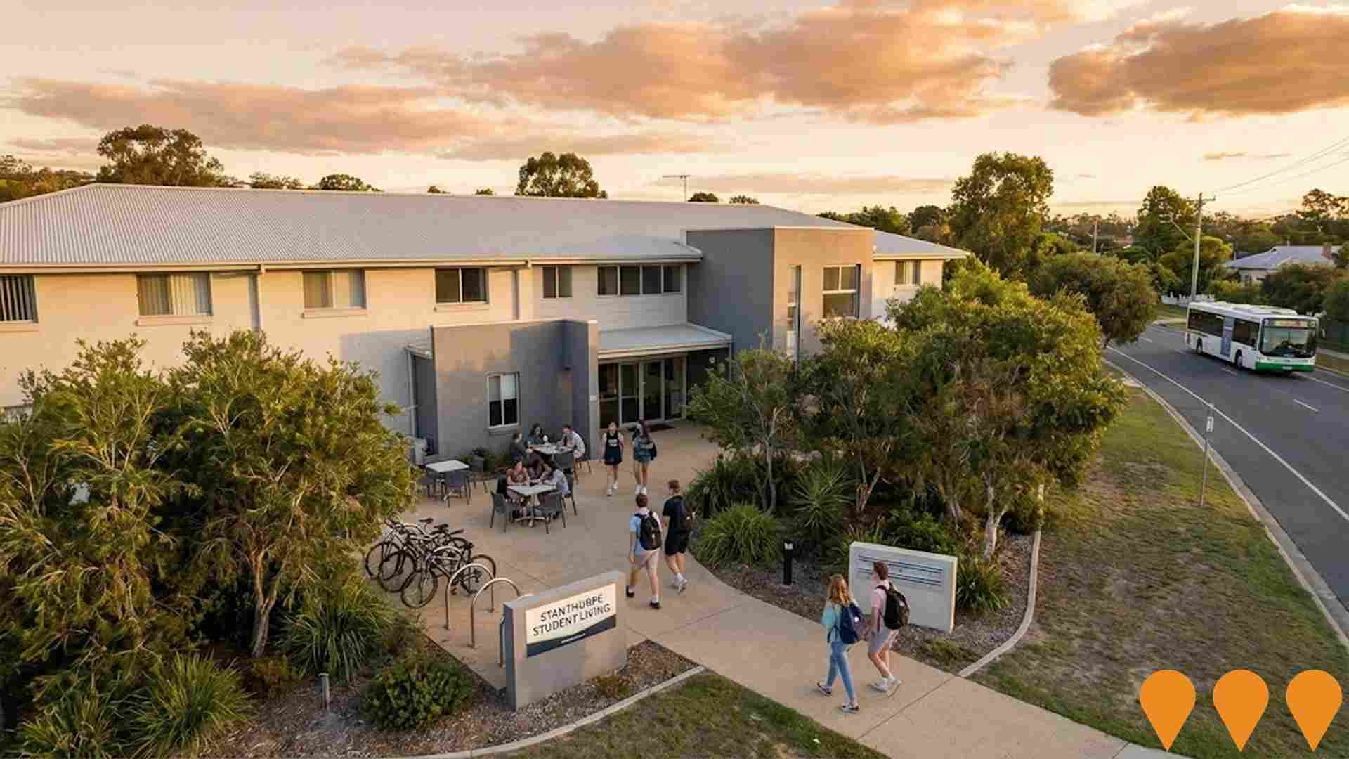
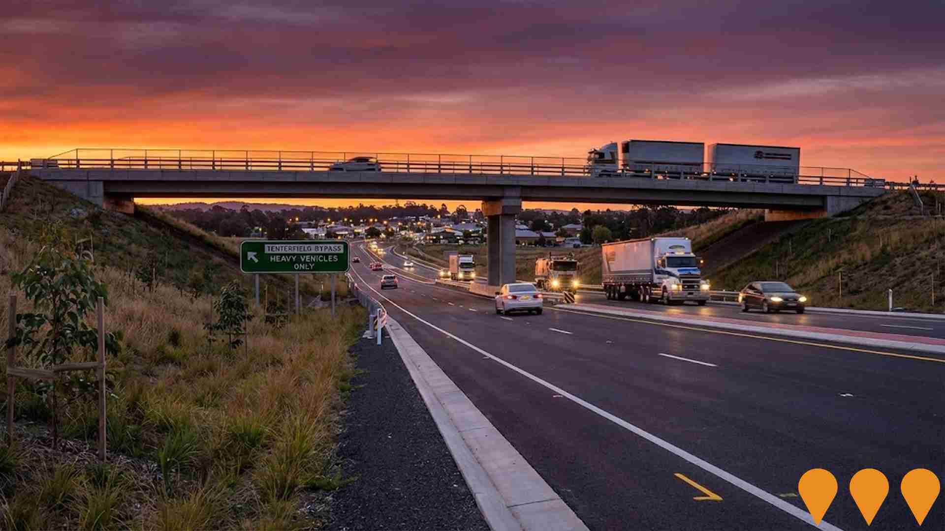
Changes to local infrastructure significantly impact an area's performance. AreaSearch identified ten projects potentially influencing this area. Notable projects include Emu Swamp Dam Project (Granite Belt Irrigation Project), 14 Wallangarra Road Student Accommodation, The Avenues Stanthorpe, and Stanthorpe Wastewater Treatment Plant Upgrade. Below is a list of those most likely to be relevant.
Professional plan users can use the search below to filter and access additional projects.
INFRASTRUCTURE SEARCH
 Denotes AI-based impression for illustrative purposes only, not to be taken as definitive under any circumstances. Please follow links and conduct other investigations from the project's source for actual imagery. Developers and project owners wishing us to use original imagery please Contact Us and we will do so.
Frequently Asked Questions - Infrastructure
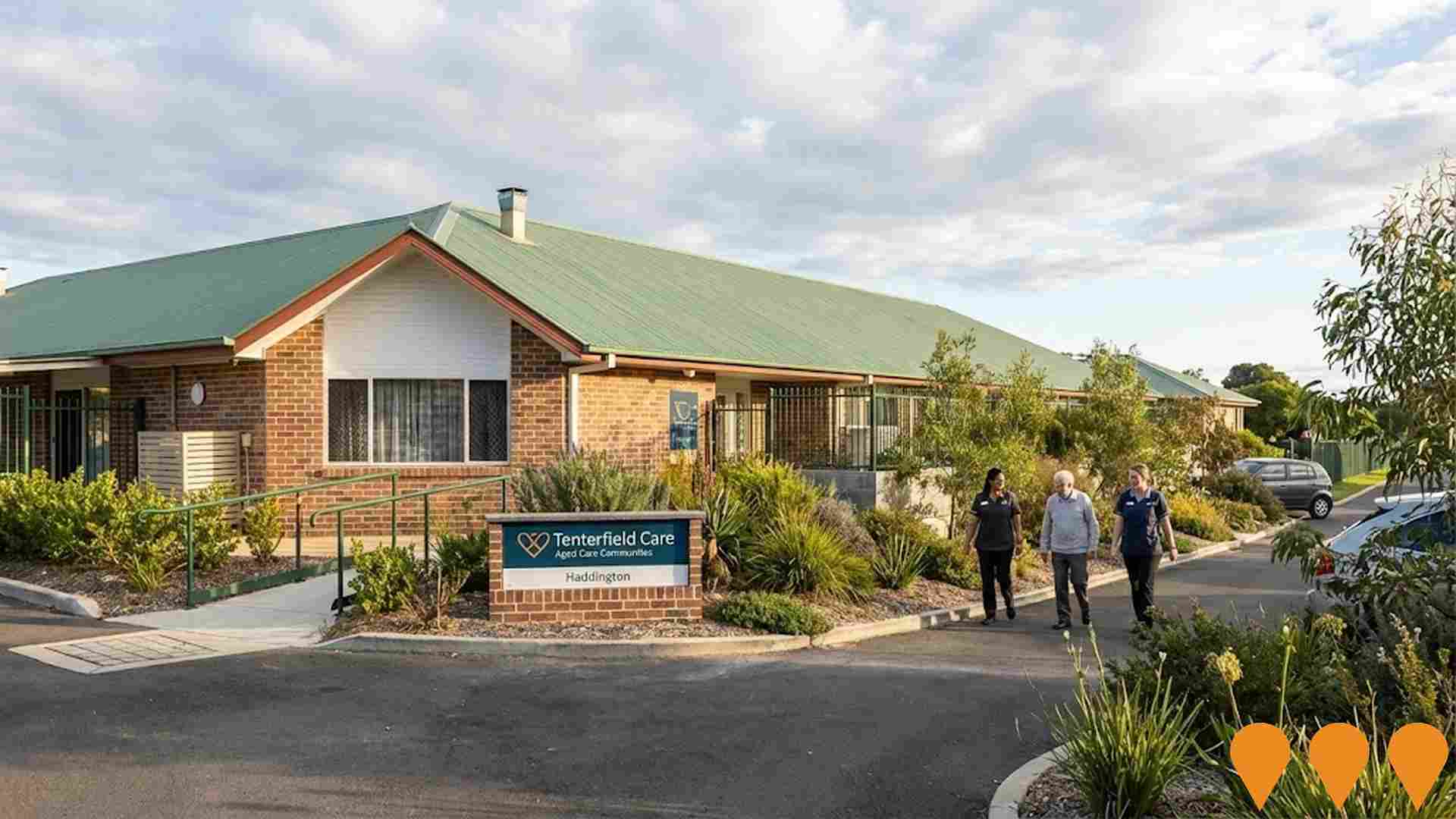
Haddington Aged Care Community Expansion
Expansion of Haddington Aged Care Community adding 28 new private suites with ensuites, increasing capacity from 82 to 110 beds. The $11 million project features a country-style interior, advanced technology for resident care and staff efficiency, and supports permanent, respite, and memory support care. The new wing was officially opened in December 2024.
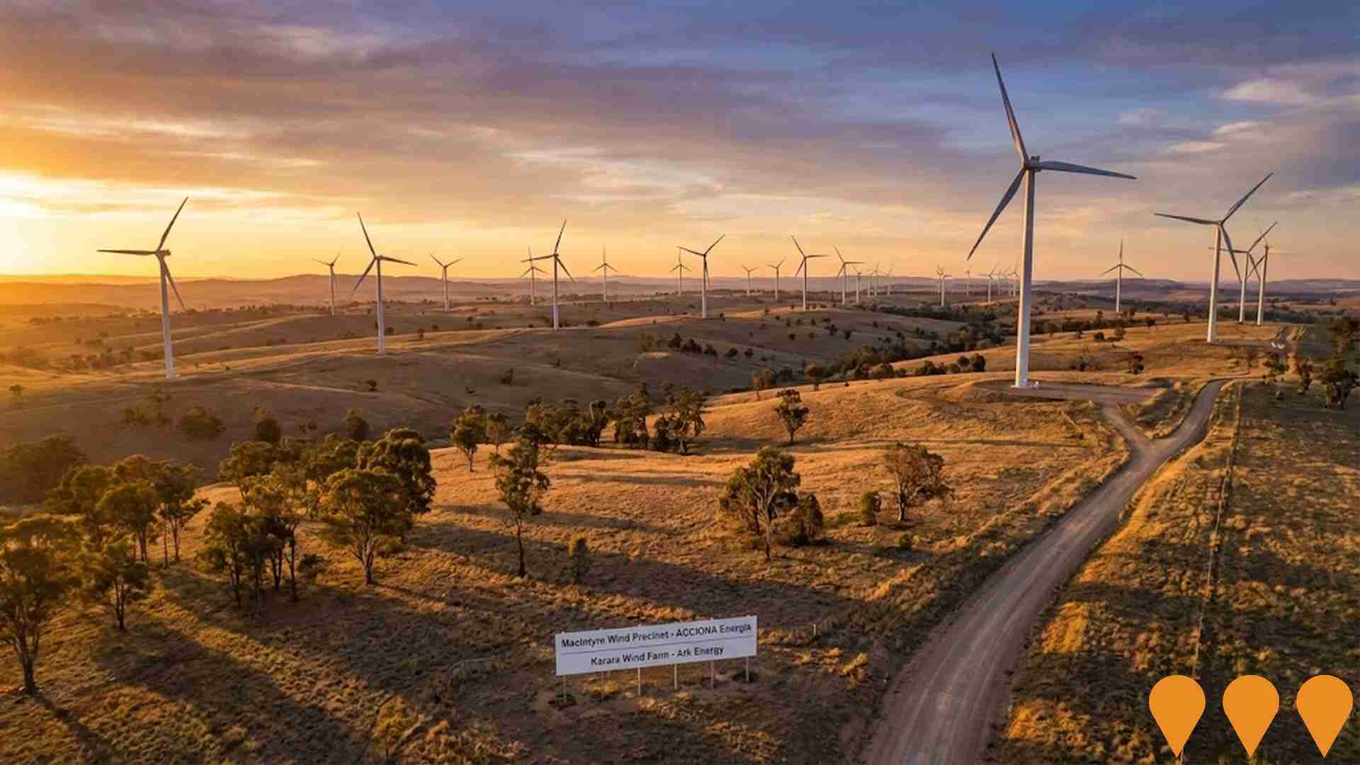
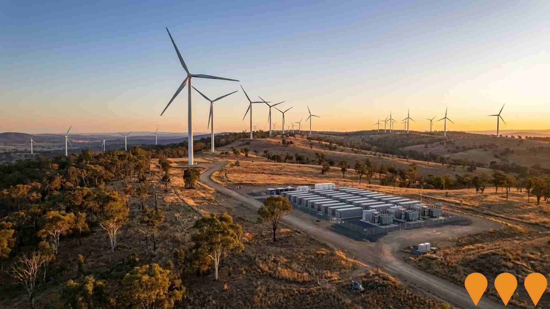
MacIntyre Wind Precinct
Australia's largest wind energy precinct, located west of Warwick in Queensland's Southern Downs region. The precinct includes the 923 MW MacIntyre Wind Farm (162 turbines, ACCIONA Energia) which achieved first power in November 2024 and is on track for full commercial operations by late 2025, and the 103 MW Karara Wind Farm (Ark Energy). A 400 MW / 800 MWh battery energy storage system (Karara BESS) has development approval and is expected to commence construction in 2025. The proposed 1,000 MW Herries Range Wind Farm remains in early planning. Total precinct capacity exceeds 2 GW when fully built.
Emu Swamp Dam Project (Granite Belt Irrigation Project)
A proposed 12,074 ML irrigation dam and water-supply scheme on the Severn River, 15km south-west of Stanthorpe. It includes the dam, a pipeline distribution network, and irrigation channels for the Granite Belt region. The original Environmental Impact Statement (EIS) evaluation report lapsed in April 2023, and the project is currently being re-evaluated as part of the Queensland Government's Southern and Darling Downs Regional Water Assessment (RWA) due to increased cost estimates.

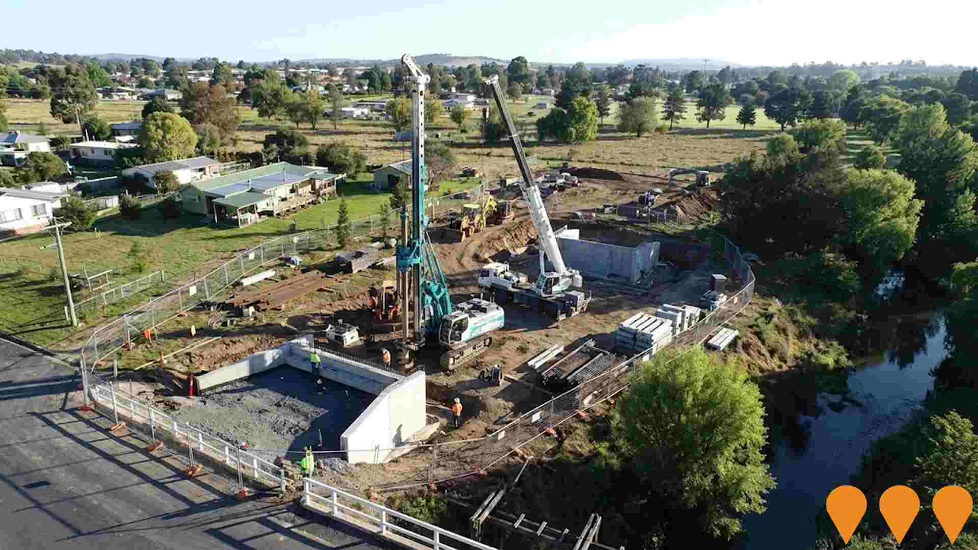
Molesworth Street Bridge Replacement and Sewer Line Relocation
Replacement of the flood-prone timber Molesworth Street Bridge over Tenterfield Creek with a resilient concrete structure to improve community connectivity and access to critical medical services during natural disasters. The project, funded by the Regional Roads Transport Recovery Package (approx. $9.988 million), also includes the relocation and betterment of the adjacent sewer line, which was damaged in early 2022. Geotechnical and planning work is complete, with construction scheduled to start mid-2025 and an active tender for bored piling closing in October 2025.
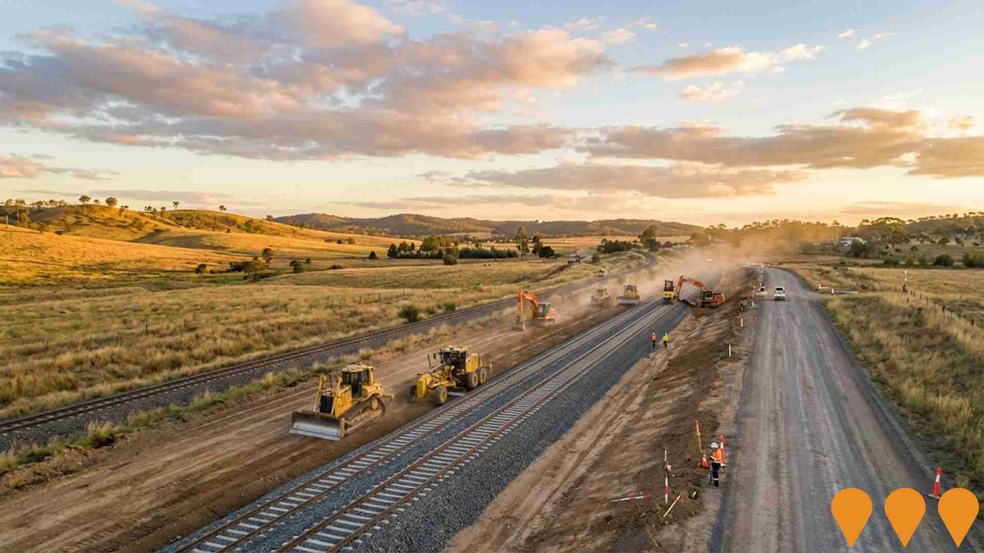
Inland Rail - NSW/Queensland Border to Gowrie (B2G)
The Border to Gowrie (B2G) section of Inland Rail is a ~217km segment (149km new dual-gauge track and 68km upgraded existing track) connecting the NSW/QLD border near Yelarbon (18km southeast of Goondiwindi) to Gowrie Junction northwest of Toowoomba. Part of the Melbourne-to-Brisbane Inland Rail freight corridor. As of November 2025, the project is in the approvals phase following closure of public consultation on the revised draft EIS (12 May - 4 August 2025). Inland Rail is preparing a response to submissions for the Queensland Coordinator-General. Subject to approvals, major construction expected to commence by 2029, taking ~4 years.
Pikedale Wind Farm
The proposed Pikedale Wind Farm is located approximately 20km west of Stanthorpe in Queensland's Southern Downs Renewable Energy Zone. The project comprises up to 204 wind turbines with a generation capacity of up to 1.3GW, along with battery energy storage system. The wind farm is expected to generate enough electricity to power around 647,000 homes and prevent 553,000 tonnes of carbon emissions annually. Squadron Energy completed community consultation in 2025 and is preparing to submit a development application to the State Assessment and Referral Agency (SARA) under Queensland's new impact assessment framework.
Toowoomba to Warwick Pipeline
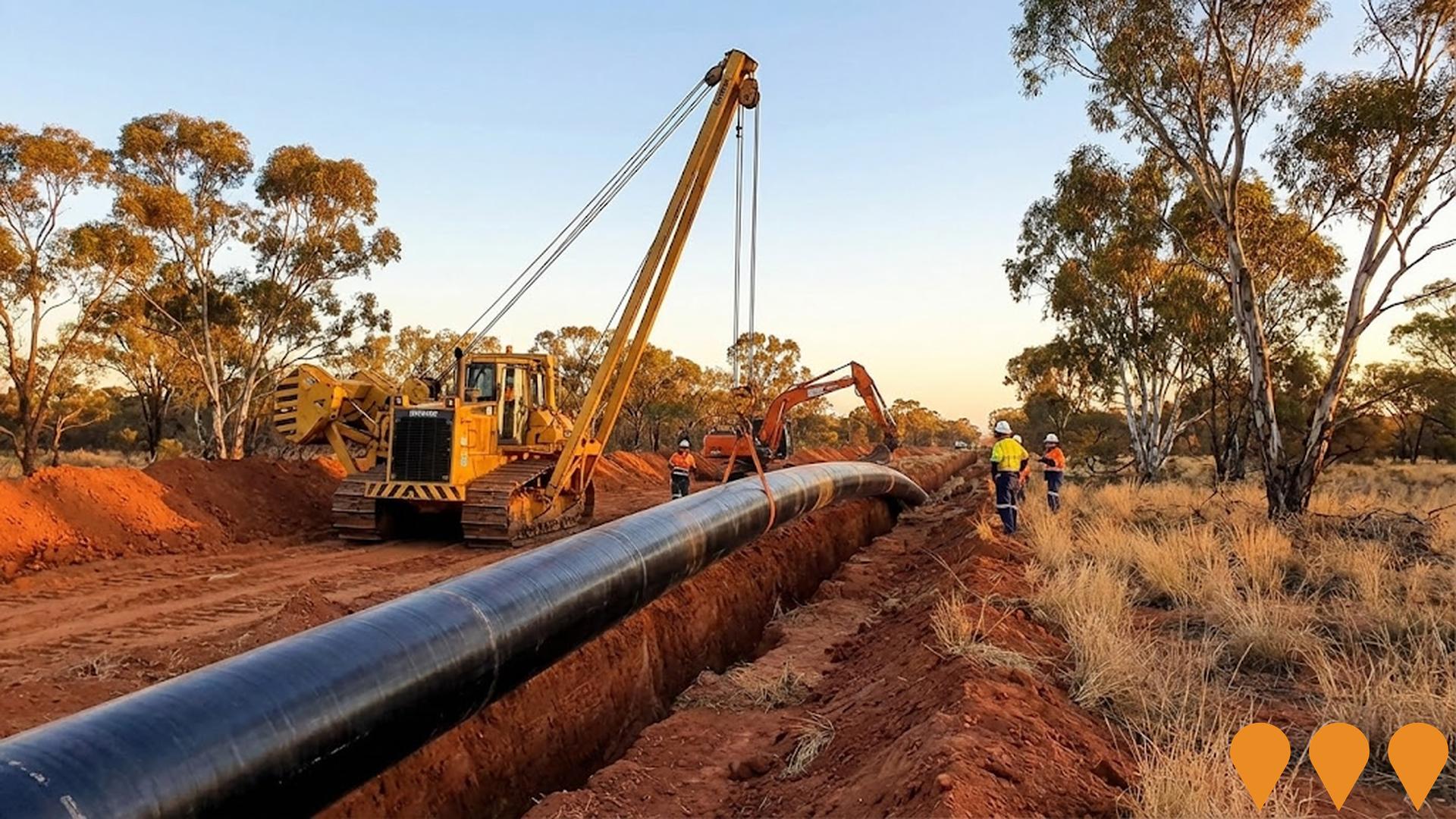
Approximately 111 km underground raw water pipeline transferring water from Wivenhoe Dam via existing Toowoomba bulk water infrastructure (connecting near Mount Kynoch Water Treatment Plant) to a new 15 ML reservoir near Leslie Dam in Warwick. Provides permanent treated water supply to Cambooya, Greenmount, Nobby and Clifton; drought contingency supply to Warwick, Allora, Yangan and (by carting) Stanthorpe and Killarney. Procurement for head contractor underway (as of mid-2024), with construction planned to commence 2026 and completion targeted for 2027 (weather and conditions permitting). Queensland Government-funded project delivered by Seqwater.
Bonshaw Solar Farm
Development of a 100MW AC solar farm with 300MW lithium-ion battery energy storage facility and associated infrastructure. The project features ground-mounted solar PV modules on single-axis tracking mounts connected to the existing 330kV Transgrid Dumaresq substation. Expected to generate 560GWh annually, powering approximately 70,000 homes and offsetting 600,000 tonnes of CO2 emissions per year.

Employment
AreaSearch analysis indicates Stanthorpe Surrounds maintains employment conditions that align with national benchmarks
Stanthorpe Surrounds has a skilled workforce with diverse sector representation. Its unemployment rate was 3.8% as of September 2025.
Employment growth over the past year was estimated at 4.8%. As of that date, 3,128 residents were employed, with an unemployment rate of 0.3% below Rest of Qld's rate of 4.1%. Workforce participation in Stanthorpe Surrounds lagged significantly at 51.7%, compared to Rest of Qld's 59.1%. Employment is concentrated in agriculture, forestry & fishing, health care & social assistance, and construction.
The area has a particular employment specialization in agriculture, forestry & fishing, with an employment share of 5.4 times the regional level. Health care & social assistance employs just 12.2% of local workers, below Rest of Qld's 16.1%. Employment opportunities locally appear limited based on Census data comparison between working population and resident population. Between September 2024 and September 2025, employment levels increased by 4.8%, while the labour force increased by 7.0%, causing the unemployment rate to rise by 2.1 percentage points. In contrast, Rest of Qld saw employment grow by 1.7% over the same period, with a smaller increase in labour force and unemployment rising by 0.3 percentage points. State-level data from 25-Nov shows Queensland's employment contracted by 0.01%, losing 1,210 jobs, with an unemployment rate of 4.2%. National employment forecasts from May-25 project a 6.6% increase over five years and 13.7% over ten years. Applying these projections to Stanthorpe Surrounds' employment mix suggests local employment should increase by 5.2% over five years and 11.6% over ten years, assuming constant population projections for illustrative purposes.
Frequently Asked Questions - Employment
Income
Income metrics place the area in the bottom 10% of locations nationally according to AreaSearch analysis
AreaSearch's latest postcode level ATO data for financial year 2022 shows Stanthorpe Surrounds SA2 had a median income among taxpayers of $38,566 and an average of $46,118. This is lower than the national average. Rest of Qld had a median income of $50,780 and an average of $64,844. Based on Wage Price Index growth of 13.99% since financial year 2022, current estimates for Stanthorpe Surrounds would be approximately $43,961 (median) and $52,570 (average) as of September 2025. Census data reveals incomes in Stanthorpe Surrounds fall between the 7th and 9th percentiles nationally. Income analysis shows that 29.7% of locals earn between $800 and $1,499, differing from regional patterns where earnings between $1,500 and $2,999 dominate at 31.7%. Housing costs are modest with 88.3% of income retained, but total disposable income ranks at just the 13th percentile nationally.
Frequently Asked Questions - Income
Housing
Stanthorpe Surrounds is characterized by a predominantly suburban housing profile, with above-average rates of outright home ownership
The latest Census showed that 97.6% of dwellings in Stanthorpe Surrounds were houses, with the remaining 2.4% being semi-detached, apartments, or other types. This compares to Non-Metro Qld's figures of 92.3% houses and 7.6% other dwellings. Home ownership in Stanthorpe Surrounds stood at 50.9%, with mortgaged properties making up 31.9% and rented dwellings accounting for 17.2%. The median monthly mortgage repayment was $1,248, lower than Non-Metro Qld's average of $1,300. The median weekly rent in Stanthorpe Surrounds was recorded at $240, compared to Non-Metro Qld's figure of $255. Nationally, mortgage repayments were significantly lower than the Australian average of $1,863, and rents were substantially below the national figure of $375.
Frequently Asked Questions - Housing
Household Composition
Stanthorpe Surrounds has a typical household mix, with a higher-than-average median household size
Family households comprise 74.6% of all households, including 25.4% couples with children, 39.9% couples without children, and 8.6% single parent families. Non-family households account for the remaining 25.4%, with lone person households at 23.2% and group households comprising 2.1% of the total. The median household size is 2.5 people, larger than the Rest of Qld average of 2.3.
Frequently Asked Questions - Households
Local Schools & Education
Stanthorpe Surrounds faces educational challenges, with performance metrics placing it in the bottom quartile of areas assessed nationally
The area's university qualification rate is 17.3%, significantly lower than Australia's average of 30.4%. Bachelor degrees are the most common at 12.6%, followed by postgraduate qualifications (3.1%) and graduate diplomas (1.6%). Vocational credentials are prevalent, with 40.3% of residents aged 15+ holding them, including advanced diplomas (10.0%) and certificates (30.3%). Educational participation is high at 28.3%, with 11.4% in primary education, 10.0% in secondary education, and 2.0% pursuing tertiary education.
Educational participation is notably high, with 28.3% of residents currently enrolled in formal education. This includes 11.4% in primary education, 10.0% in secondary education, and 2.0% pursuing tertiary education.
Frequently Asked Questions - Education
Schools Detail
Nearby Services & Amenities
Transport
Transport servicing is very low compared to other areas nationally based on assessment of service frequency, route connectivity and accessibility
Stanthorpe Surrounds has 26 active public transport stops. These are served by buses along three routes that together offer 25 weekly passenger trips. Transport access is moderate, with residents on average 484 meters from the nearest stop.
Services run about 3 times daily across all routes, resulting in roughly 0 weekly trips per individual stop.
Frequently Asked Questions - Transport
Transport Stops Detail
Health
Health performance in Stanthorpe Surrounds is well below average with prevalence of common health conditions notable across both younger and older age cohorts
Stanthorpe Surrounds faces significant health challenges, with common conditions prevalent across both younger and older age groups. Private health cover is low at approximately 46% of the total population (~3,076 people), compared to the national average of 55.3%.
The most common medical conditions are arthritis (11.5%) and mental health issues (8.8%). 62.9% of residents report no medical ailments, similar to the Rest of Qld's 62.0%. The area has a high proportion of seniors, with 27.0% aged 65 and over (1,791 people). Health outcomes among seniors are strong, outperforming general population metrics.
Frequently Asked Questions - Health
Cultural Diversity
Stanthorpe Surrounds ranks below the Australian average when compared to other local markets across a number of language and cultural background related metrics
Stanthorpe Surrounds, as per the Australian Bureau of Statistics Census 2016 data, showed lower cultural diversity with 86.3% citizens, 85.8% born in Australia, and 94.5% speaking English only at home. Christianity was the predominant religion, accounting for 58.3%, compared to 63.9% across Rest of Qld. The top three ancestry groups were English (30.8%), Australian (28.1%), and Irish (9.0%).
Notably, Italian representation was higher at 6.7% than the regional average of 2.8%. Similarly, German stood at 5.0%, compared to 5.6% regionally, while Dutch was slightly higher at 1.5% versus 0.9%.
Frequently Asked Questions - Diversity
Age
Stanthorpe Surrounds hosts an older demographic, ranking in the top quartile nationwide
Stanthorpe Surrounds has a median age of 49 years, which is significantly higher than the Rest of Qld average of 41 years and exceeds the national average of 38 years. The age profile shows that those aged 65-74 are particularly prominent, making up 16.6% of the population, compared to the national average of 9.4%. Meanwhile, the 25-34 age group is smaller at 9.0%, compared to the Rest of Qld average. Between 2021 and present, the 75-84 age group has grown from 6.9% to 8.4% of the population, while the 5-14 cohort has declined from 12.8% to 10.4%. By 2041, Stanthorpe Surrounds is projected to experience notable shifts in its age composition. The 75-84 age group is expected to grow by 34%, reaching 746 people from the current 558. Those aged 65 and above are projected to comprise 53% of the population growth, while declines are projected for the 5-14 and 15-24 cohorts.

