Chart Color Schemes
This analysis uses ABS Statistical Areas Level 2 (SA2) boundaries, which can materially differ from Suburbs and Localities (SAL) even when sharing similar names.
SA2 boundaries are defined by the Australian Bureau of Statistics and are designed to represent communities for statistical reporting (e.g., census and ERP).
Suburbs and Localities (SAL) represent commonly-used suburb/locality names (postal-style areas) and may use different geographic boundaries. For comprehensive analysis, consider reviewing both boundary types if available.
est. as @ -- *
ABS ERP | -- people | --
2021 Census | -- people
Sales Activity
Curious about local property values? Filter the chart to assess the volume and appreciation (including resales) trends and regional comparisons, or scroll to the map below view this information at an individual property level.
Find a Recent Sale
Sales Detail
Population
Aspendale Gardens - Waterways is positioned among the lower quartile of areas assessed nationally for population growth based on AreaSearch's assessment of recent, and medium term trends
Aspendale Gardens - Waterways' population, as per AreaSearch's analysis, was around 9,099 by Nov 2025. This figure shows a rise of 246 people (2.8%) since the 2021 Census, which recorded a population of 8,853. The increase is inferred from ABS' estimated resident population of 9,099 in Jun 2024 and an additional 7 validated new addresses post-census. This results in a density ratio of 1,713 persons per square kilometer, higher than the average across national locations assessed by AreaSearch. The area's 2.8% growth since census places it within 2.9 percentage points of its SA3 area (5.7%), indicating strong growth fundamentals. Overseas migration drove population growth, contributing approximately 87.2% of overall gains recently.
AreaSearch uses ABS/Geoscience Australia projections for each SA2 area, released in 2024 with a base year of 2022. For areas not covered, they utilise VIC State Government's Regional/LGA projections from 2023, adjusted using weighted aggregation methods. Growth rates by age group are applied across all areas for years 2032 to 2041. Future demographic trends suggest a population increase just below the median of national statistical areas, with an expected expansion of 1,114 persons by 2041 based on latest annual ERP population numbers, reflecting a total gain of 12.2% over the 17 years.
Frequently Asked Questions - Population
Development
The level of residential development activity in Aspendale Gardens - Waterways is very low in comparison to the average area assessed nationally by AreaSearch
Aspendale Gardens - Waterways has recorded approximately four residential properties granted approval annually. Over the past five financial years, from FY21 to FY25, 23 homes were approved, with one more approved in FY26 so far. The population has been declining recently, but housing supply has remained adequate relative to demand, resulting in a balanced market with good buyer choice.
New properties are constructed at an average expected cost of $646,000, indicating a focus on the premium segment by developers. In terms of commercial development, $13.7 million in approvals have been recorded this financial year, showing moderate levels of activity compared to Greater Melbourne, where Aspendale Gardens - Waterways has significantly less development activity, 91.0% below the regional average per person. This scarcity typically strengthens demand and prices for existing properties. Recent development has consisted entirely of detached houses, maintaining the area's suburban identity with a concentration of family homes suited to buyers seeking space. The location currently has approximately 5451 people per dwelling approval, indicating an established market.
Future projections estimate that Aspendale Gardens - Waterways will add 1,114 residents by 2041, based on the latest AreaSearch quarterly estimate. At current development rates, housing supply may struggle to match population growth, potentially increasing buyer competition and supporting price increases.
Frequently Asked Questions - Development
Infrastructure
Aspendale Gardens - Waterways has moderate levels of nearby infrastructure activity, ranking in the top 50% nationally
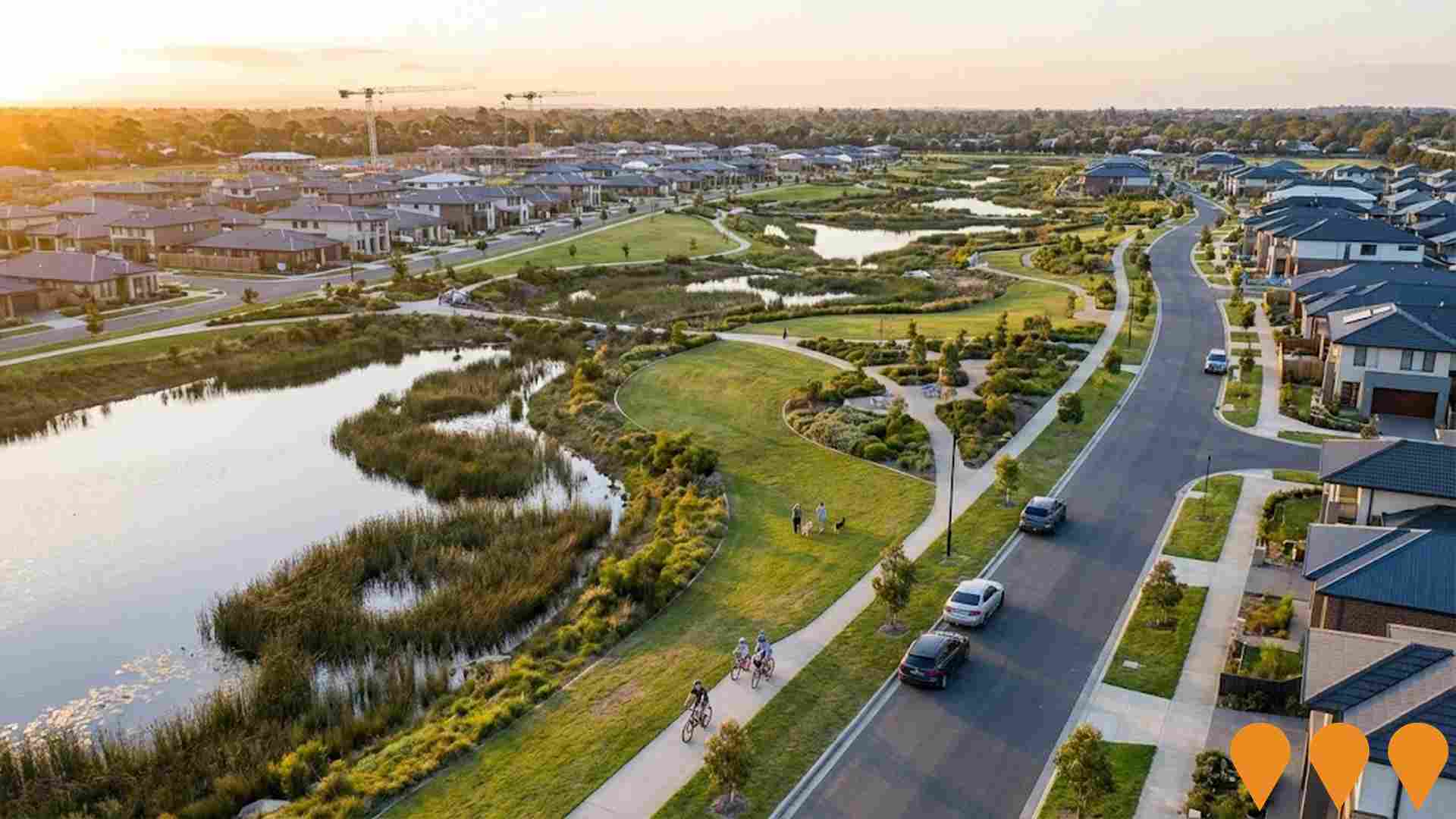
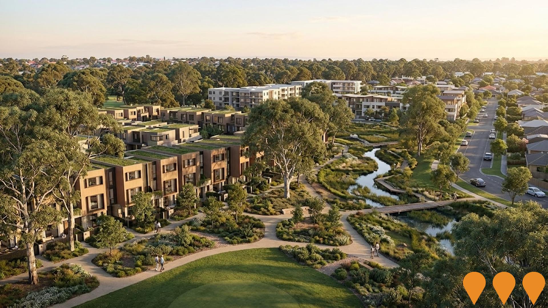
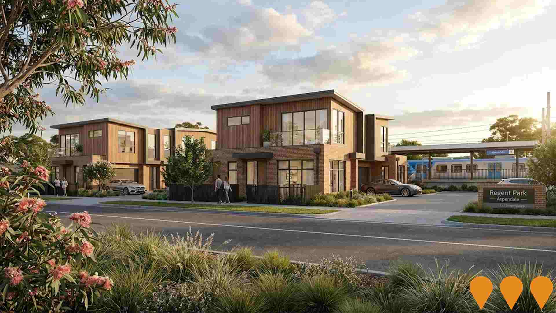
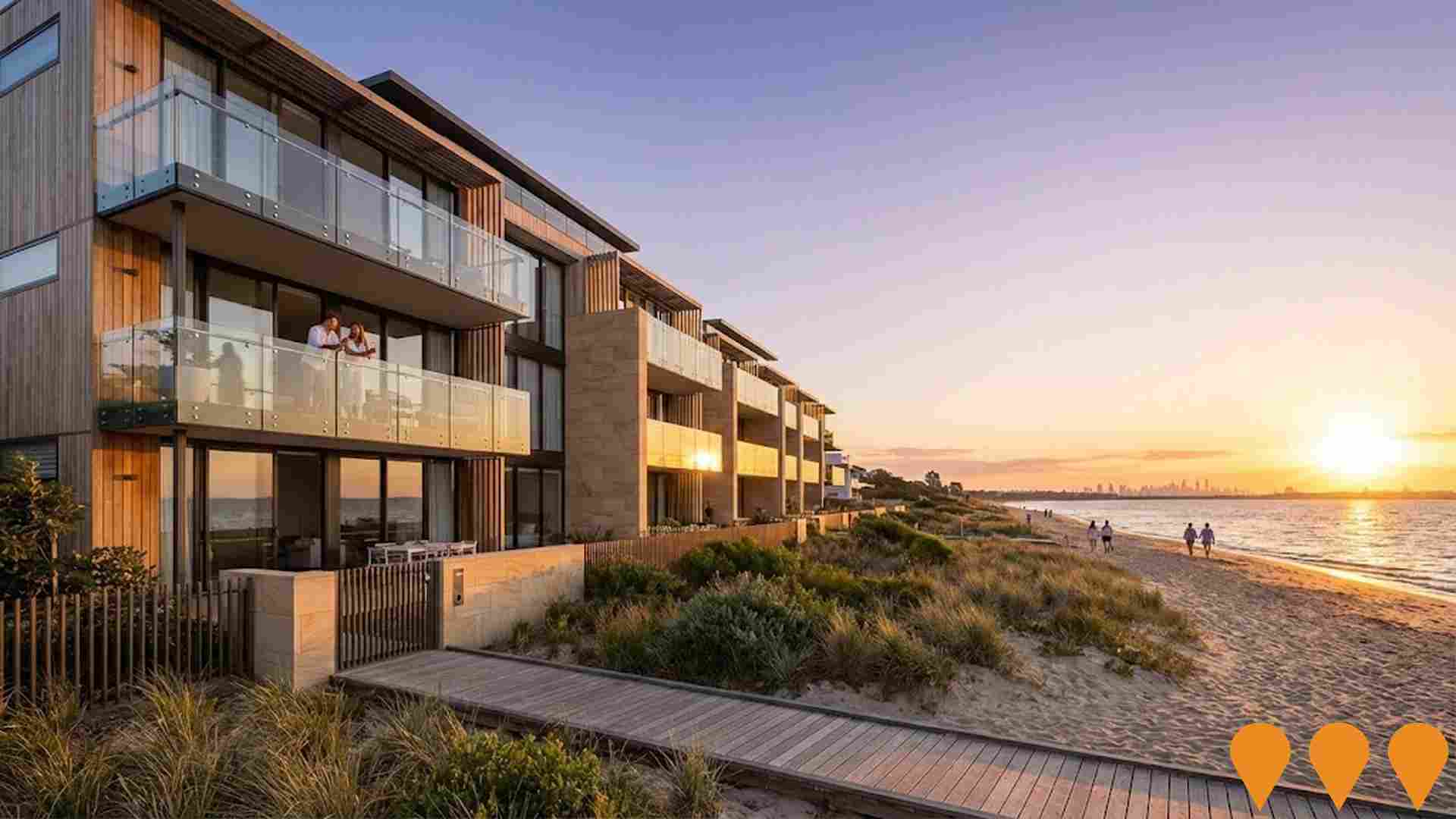
Changes to local infrastructure significantly influence an area's performance. AreaSearch identified five projects that could impact this area. Key projects include the Aspendale Gardens Shopping Centre Redevelopment, Rossdale Golf Course Redevelopment in Aspendale, The Strand Aspendale, and Dingley Village (former Kingswood Golf Course). The following list details those most relevant.
Professional plan users can use the search below to filter and access additional projects.
INFRASTRUCTURE SEARCH
 Denotes AI-based impression for illustrative purposes only, not to be taken as definitive under any circumstances. Please follow links and conduct other investigations from the project's source for actual imagery. Developers and project owners wishing us to use original imagery please Contact Us and we will do so.
Frequently Asked Questions - Infrastructure
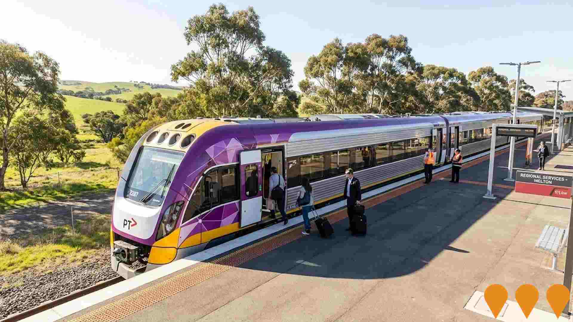
Level Crossing Removal - Caulfield to Dandenong
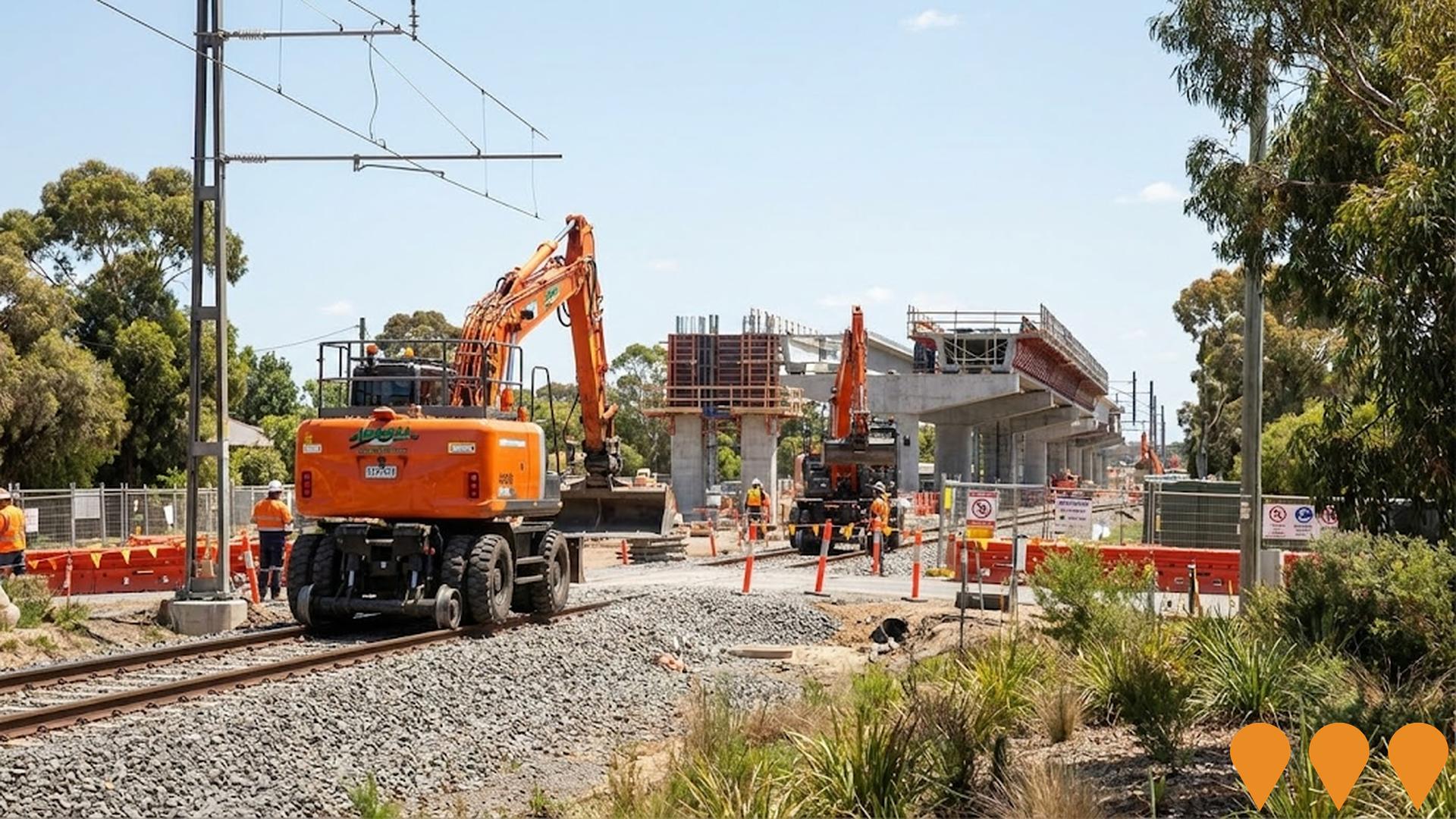
Major infrastructure project removing 9 level crossings by elevating the railway line between Caulfield and Dandenong on the Cranbourne-Pakenham corridor. Includes complete redevelopment of 5 elevated stations (Carnegie, Murrumbeena, Hughesdale, Clayton, and Noble Park) with modern facilities, improved accessibility, and integration with new public open space (22.5 hectares of parkland). Delivered as a single $1.6-2.4 billion package, significantly improving safety, reducing congestion, and enabling more train services.
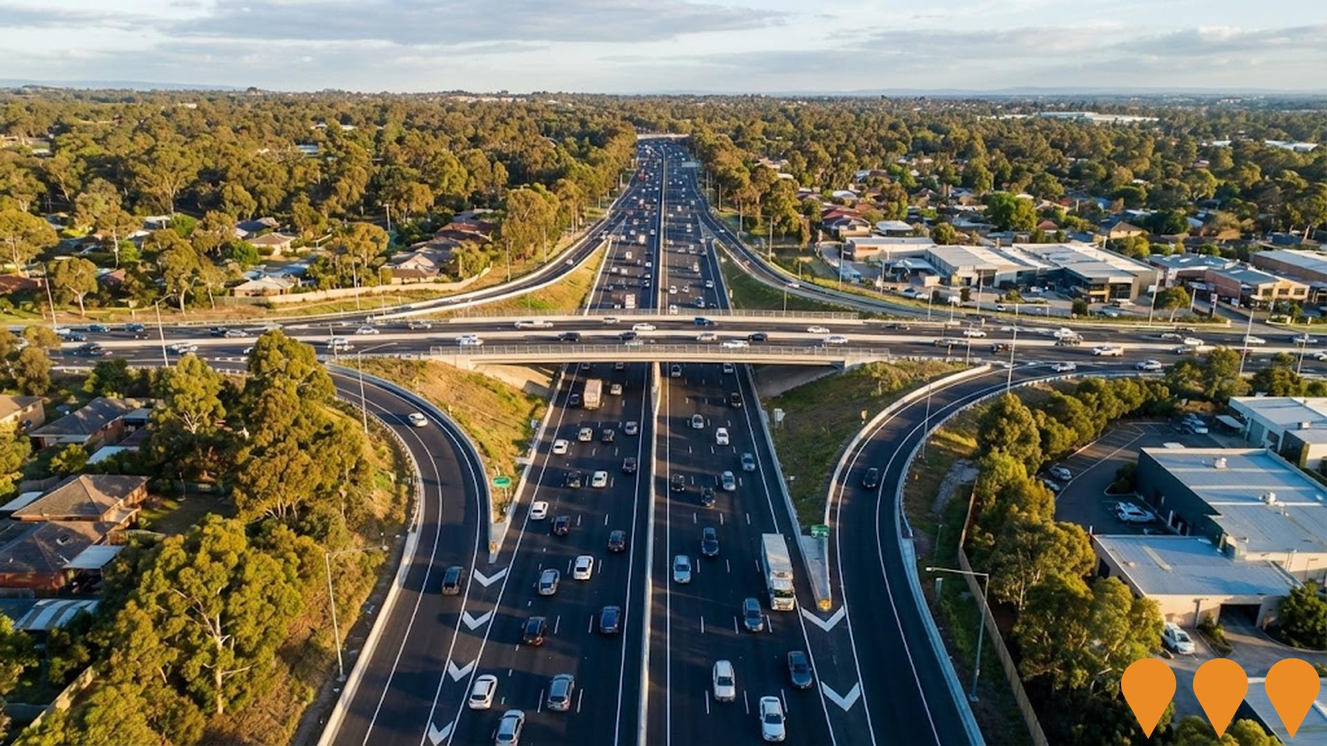
Monash Freeway Upgrade Stage 2
Major $1.4 billion freeway upgrade adding 36km of new lanes between Warrigal Road and Cardinia Road. Includes upgraded Beaconsfield interchange with new diamond configuration, Police Road connection, Jackson Road direct link to EastLink, O'Shea Road extension and widening, smart lane management systems, and shared cycling paths. Completed end of 2022, reducing travel times by up to 9 minutes during peak hours for 470,000 daily users.
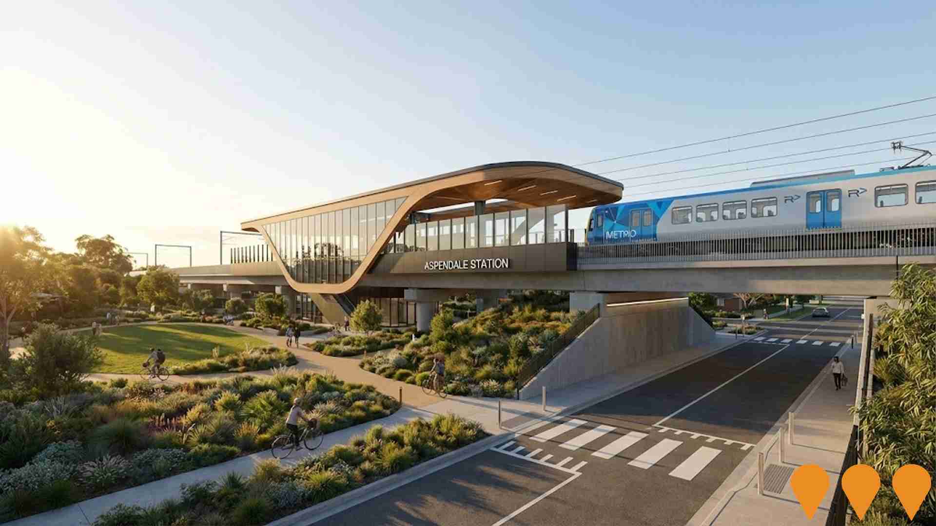
Frankston Line Level Crossing Removal Program
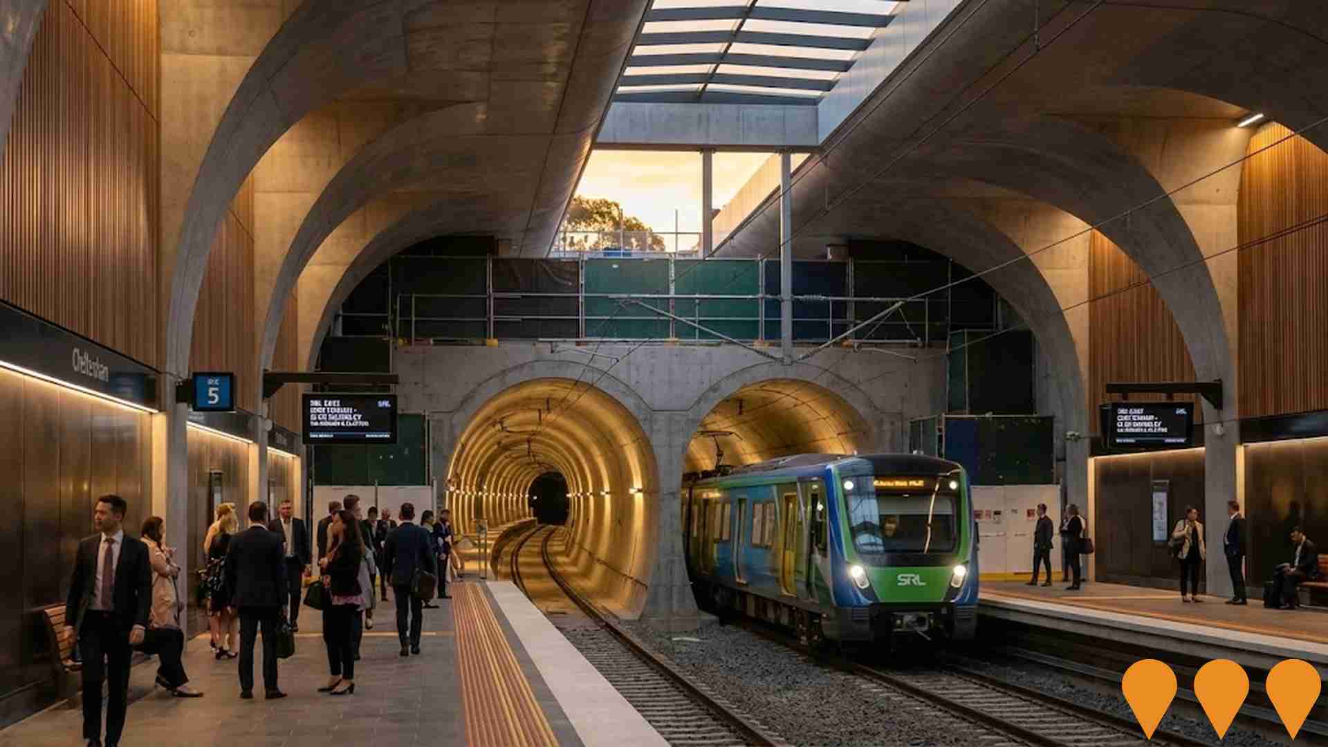
Victorian Government program to remove all 27 remaining level crossings on the Frankston Line by 2029, delivering a boom-gate-free corridor from Caulfield to Frankston. The project includes rebuilding 19 stations, major rail trench and elevated rail sections, new and upgraded stations at Cheltenham, Mentone, Mordialloc, Aspendale, Seaford and Frankston, plus extensive open space creation and active transport links. As of December 2025, 20 of the 27 crossings have been removed, with major works continuing at Mentone, Cheltenham, Bonbeach and Carrum, and planning advancing for the final stages toward Frankston.
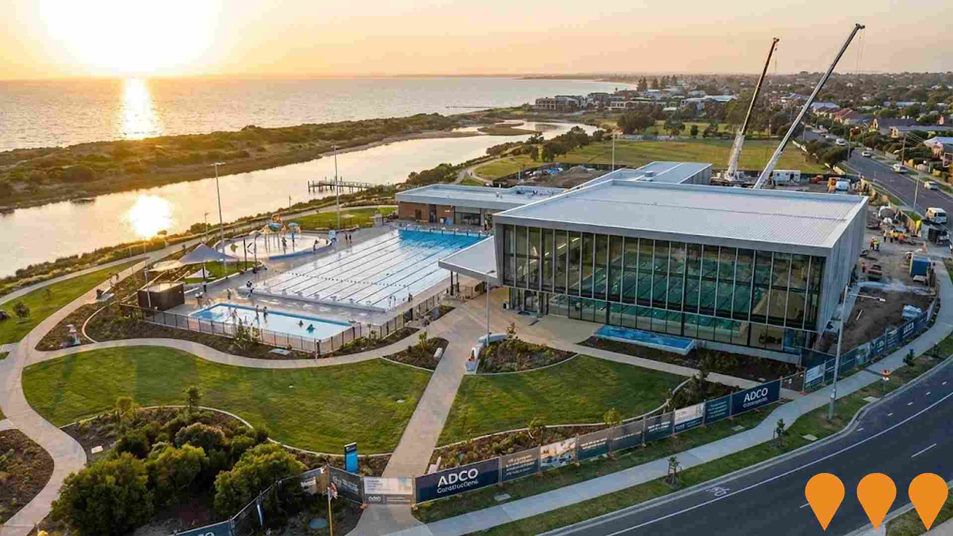
Mordi Aquatic Centre
New state-of-the-art aquatic and leisure centre in Mordialloc delivering a 50m outdoor pool, indoor 25m pool, learn-to-swim pool, warm water program pool, splash park, gym, spa, sauna, steam room and cafe. Jointly funded by City of Kingston and the Australian Government ($20m contribution). ADCO Constructions is the appointed builder, CO.OP Studio the architect. Construction commenced in 2024 and is scheduled for completion in late 2026.
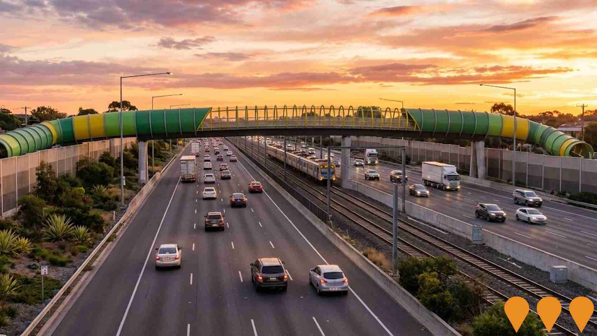
EastLink Freeway Noble Park Section
39km tollway connecting the Eastern and Mornington Peninsula Freeways, featuring innovative design with the railway line running in the freeway median through Noble Park. Operated by ConnectEast, owned by Horizon Roads consortium. The freeway serves approximately 250,000 vehicles daily and includes two 1.6km tunnels protecting the Mullum Mullum valley.
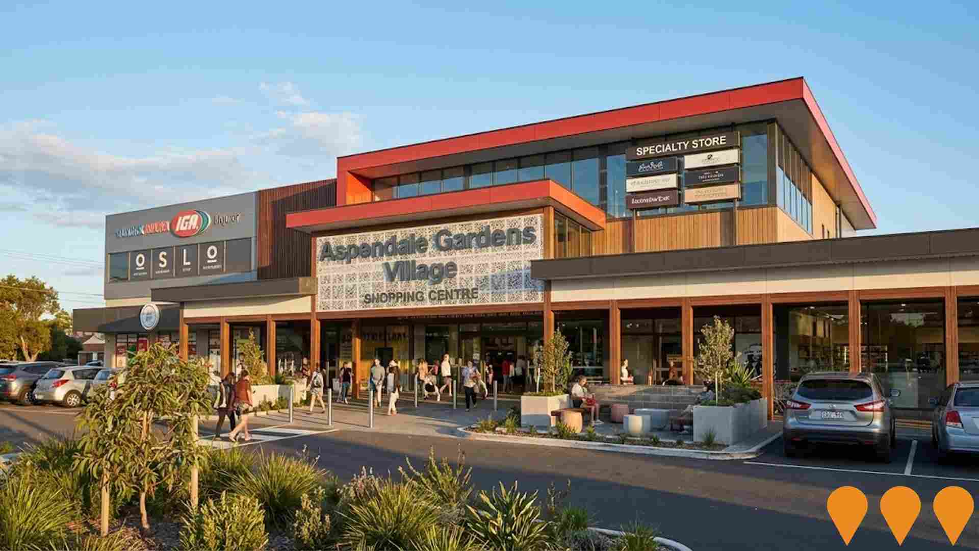
Aspendale Gardens Shopping Centre Redevelopment
Proposed expansion and modernisation of Aspendale Gardens Shopping Centre, which includes a Ritchies Supa IGA and approximately 17 specialty stores. The redevelopment may involve the development of a top floor of approximately 3700 sq. metres. Community discussion in 2021 noted concerns about a new proposed shopping center being approved near existing gambling venues. The shopping centre offers exposure to approximately 30,000 visitors weekly.
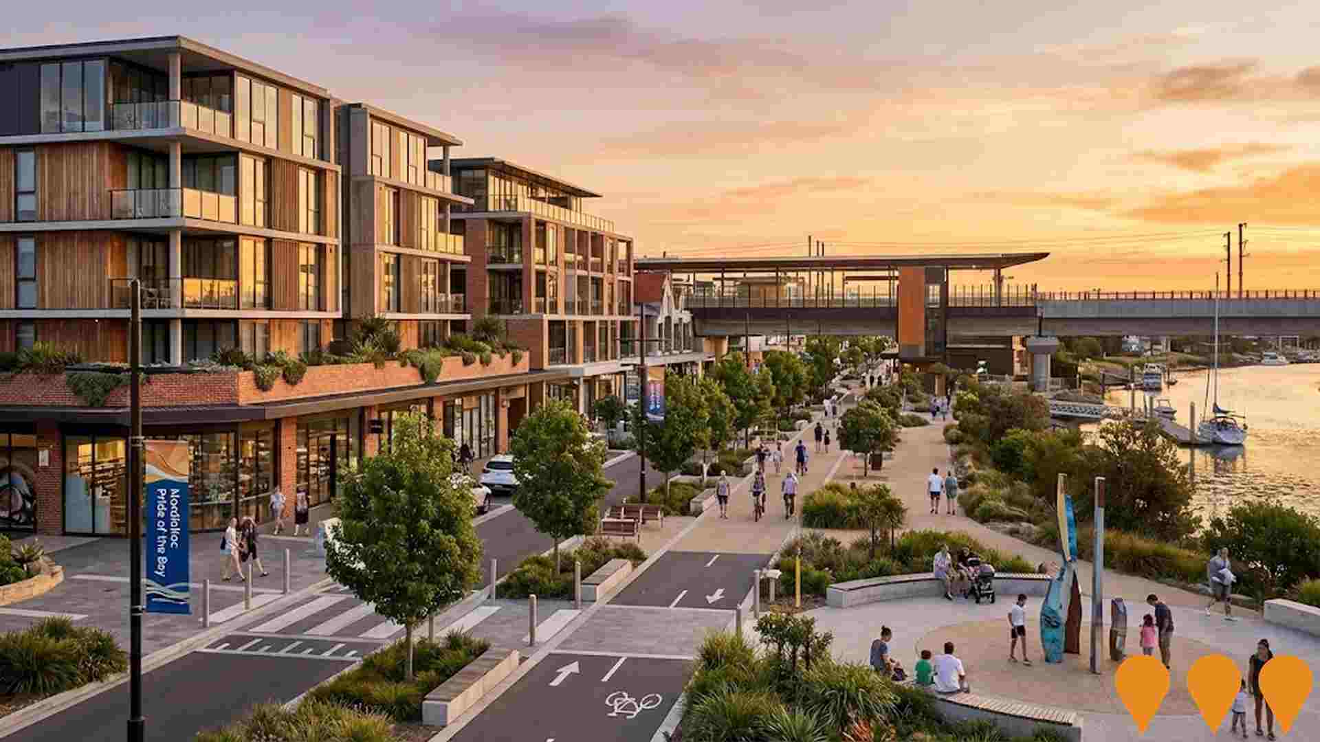
Mordialloc Activity Centre - Pride of the Bay Structure Plan and Village Masterplan
Council led long term renewal of the Mordialloc Major Activity Centre guided by the "Mordialloc Pride of the Bay" structure plan adopted in 2004 and now flagged for review. The plan sets a 20 year plus vision for higher density mixed use development around Mordialloc Station, Main Street and the creek and foreshore, including shop top and apartment housing, upgraded streetscapes, better pedestrian and cycling links, public spaces and protection of key coastal and heritage views. Current strategic work focuses on aligning future built form and public realm upgrades with the Victorian Government level crossing removal program and a new elevated station precinct before a refreshed structure plan and controls are prepared.
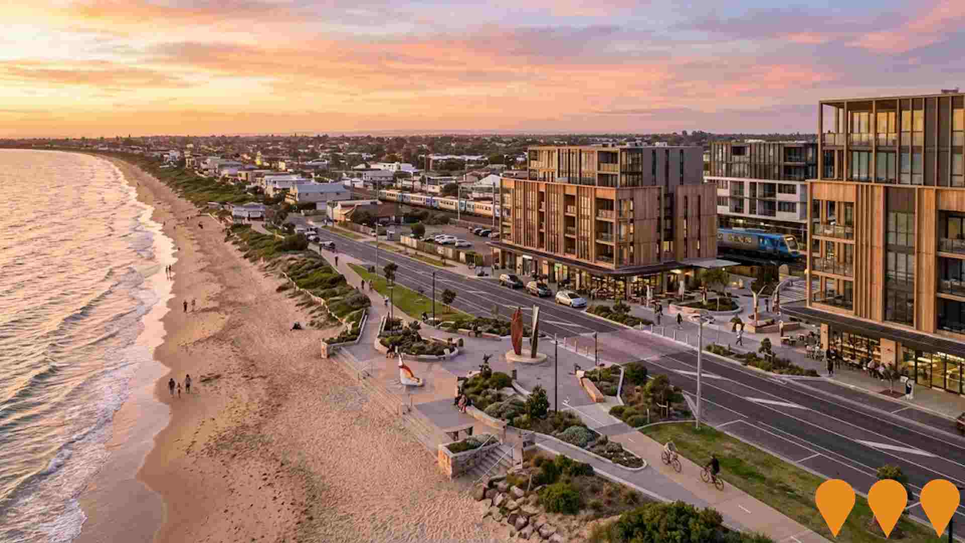
Aspendale Beachside Structure Plan
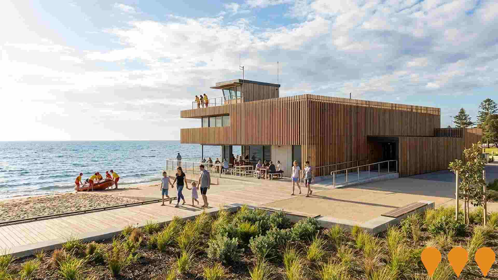
Council-led **Structure Plan** (long-term vision) to guide growth and change in the Aspendale beachfront activity centre. The plan provides ideals for future land use and development, including mixed-use development, public realm upgrades, and improved foreshore connections to meet future community needs. It is supported by Council policy for increased housing diversity in the precinct.
Employment
Employment performance in Aspendale Gardens - Waterways has been broadly consistent with national averages
Aspendale Gardens - Waterways has an educated workforce with strong professional services representation, and a low unemployment rate of 3.6%. As of September 2025, there are 5,252 residents employed, with an unemployment rate 1.0% below Greater Melbourne's rate of 4.7%.
Workforce participation is similar to the regional level at 68.2%. The leading employment industries among residents are health care & social assistance, retail trade, and manufacturing. Retail trade is particularly prominent, with an employment share 1.3 times higher than the regional level. However, professional & technical services are under-represented, accounting for only 8.1% of Aspendale Gardens - Waterways's workforce compared to Greater Melbourne's 10.1%.
The area appears to offer limited local employment opportunities based on Census data comparisons. Between September 2024 and September 2025, the labour force increased by 0.5%, while employment declined by 0.7%, leading to a rise in unemployment of 1.2 percentage points. In contrast, Greater Melbourne saw employment grow by 3.0% over the same period. State-level data from VIC up to November 25 shows employment grew year-on-year by 1.13% (adding 41,950 jobs), with an unemployment rate of 4.7%. Nationally, employment growth was 0.14%, and the unemployment rate was 4.3%. Jobs and Skills Australia's national employment forecasts from May-25 indicate overall employment growth of 6.6% over five years and 13.7% over ten years. Applying these projections to Aspendale Gardens - Waterways's employment mix suggests local employment should increase by approximately 6.3% over five years and 13.2% over ten years, assuming constant population projections for illustrative purposes.
Frequently Asked Questions - Employment
Income
The area exhibits notably strong income performance, ranking higher than 70% of areas assessed nationally through AreaSearch analysis
AreaSearch's latest postcode level ATO data for financial year 2022 shows that Aspendale Gardens - Waterways SA2 has a very high national median assessed income of $54,281 and an average income of $72,411. This contrasts with Greater Melbourne's figures of $54,892 median income and $73,761 average income. Based on Wage Price Index growth of 12.16% since financial year 2022, current estimates would be approximately $60,882 (median) and $81,216 (average) as of September 2025. The 2021 Census shows household incomes rank exceptionally at the 85th percentile ($2,348 weekly), while personal income ranks lower at the 58th percentile. Income analysis reveals that 32.6% of the community (2,966 individuals) fall into the $1,500 - 2,999 earnings band, consistent with broader trends across the region showing 32.8% in the same category. A substantial proportion of high earners (37.0%) have incomes above $3,000/week, indicating strong economic capacity throughout Aspendale Gardens - Waterways. After housing costs, residents retain 87.1% of their income, reflecting strong purchasing power and the area's SEIFA income ranking places it in the 8th decile.
Frequently Asked Questions - Income
Housing
Aspendale Gardens - Waterways is characterized by a predominantly suburban housing profile, with above-average rates of outright home ownership
Aspendale Gardens - Waterways had 85.3% houses and 14.6% other dwellings in the latest Census, compared to Melbourne metro's 54.8% houses and 45.2% other dwellings. Home ownership was at 38.6%, with mortgaged dwellings at 50.3% and rented ones at 11.2%. The median monthly mortgage repayment was $2,115, below Melbourne metro's average of $2,167. The median weekly rent figure was $510, compared to Melbourne metro's $410. Nationally, Aspendale Gardens - Waterways had significantly higher mortgage repayments at $2,115 versus the Australian average of $1,863, and substantially higher rents at $510 compared to the national figure of $375.
Frequently Asked Questions - Housing
Household Composition
Aspendale Gardens - Waterways features high concentrations of family households, with a higher-than-average median household size
Family households account for 85.5% of all households, including 51.8% couples with children, 23.4% couples without children, and 9.4% single parent families. Non-family households constitute the remaining 14.5%, with lone person households at 13.9% and group households comprising 0.8%. The median household size is 3.0 people, larger than the Greater Melbourne average of 2.4.
Frequently Asked Questions - Households
Local Schools & Education
Aspendale Gardens - Waterways shows strong educational performance, ranking in the upper quartile nationally when assessed across multiple qualification and achievement indicators
The area's university qualification rate is 31.9%, significantly lower than the SA4 region average of 46.0%. Bachelor degrees are most common at 22.0%, followed by postgraduate qualifications (7.1%) and graduate diplomas (2.8%). Vocational credentials are held by 29.5% of residents aged 15 and above, including advanced diplomas (11.8%) and certificates (17.7%). Educational participation is high, with 30.7% of residents currently enrolled in formal education.
This includes secondary education (9.7%), primary education (9.6%), and tertiary education (5.9%).
Frequently Asked Questions - Education
Schools Detail
Nearby Services & Amenities
Transport
Transport servicing is moderate compared to other areas nationally based on assessment of service frequency, route connectivity and accessibility
Aspendale Gardens - Waterways has 23 active public transport stops. These are served by buses on 8 different routes, offering a total of 1,910 weekly passenger trips. Residents have good access to these stops, with an average distance of 245 meters to the nearest one.
The services run frequently, with an average of 272 trips per day across all routes, which equates to approximately 83 weekly trips per stop.
Frequently Asked Questions - Transport
Transport Stops Detail
Health
Aspendale Gardens - Waterways's residents are extremely healthy with younger cohorts in particular seeing very low prevalence of common health conditions
Analysis shows strong health metrics throughout Aspendale Gardens - Waterways, with younger cohorts having low prevalence of common conditions. Private health cover rate is high at approximately 55% (~5,031 people), compared to Greater Melbourne's 58.2%.
Common medical conditions are asthma and arthritis, impacting 6.9 and 6.2% respectively. 74.2% declared no medical ailments, higher than Greater Melbourne's 70.4%. The area has 18.2% residents aged 65 and over (1,652 people), lower than Greater Melbourne's 19.3%. Seniors' health outcomes are above average, requiring more attention.
Frequently Asked Questions - Health
Cultural Diversity
Aspendale Gardens - Waterways was found to be more culturally diverse than the vast majority of local markets in Australia, upon assessment of a range of language and cultural background related metrics
Aspendale Gardens-Waterways has a high level of cultural diversity, with 35.7% of its population born overseas and 32.3% speaking a language other than English at home. Christianity is the dominant religion in Aspendale Gardens-Waterways, comprising 50.9% of the population. However, Judaism is overrepresented compared to Greater Melbourne, making up 0.7% versus 1.1%.
The top three ancestry groups are English (20.2%), Australian (19.3%), and Other (12.6%). Notably, Sri Lankan, Polish, and Greek ethnicities are also overrepresented in Aspendale Gardens-Waterways compared to regional averages: Sri Lankan at 1.3% versus 0.6%, Polish at 1.1% versus 1.0%, and Greek at 3.9% versus 3.3%.
Frequently Asked Questions - Diversity
Age
Aspendale Gardens - Waterways's median age exceeds the national pattern
The median age in Aspendale Gardens - Waterways is 42 years, significantly higher than Greater Melbourne's average of 37 years and Australia's national average of 38 years. The 55-64 age group constitutes 15.6% of the population, compared to Greater Melbourne, while the 25-34 age group makes up 8.1%. Post-2021 Census data shows the 55 to 64 age group grew from 13.9% to 15.6%, and the 75 to 84 cohort increased from 5.1% to 6.2%. Conversely, the 45 to 54 cohort declined from 17.5% to 15.3%, and the 5 to 14 age group dropped from 13.7% to 12.2%. Population forecasts for 2041 indicate substantial demographic changes in Aspendale Gardens - Waterways, with the 65 to 74 group expected to grow by 49% (410 people), reaching 1,255 from 844. Notably, the combined 65+ age groups will account for 82% of total population growth, reflecting the area's aging demographic profile. In contrast, the 0 to 4 and 15 to 24 age cohorts are expected to experience population declines.
