Chart Color Schemes
This analysis uses ABS Statistical Areas Level 2 (SA2) boundaries, which can materially differ from Suburbs and Localities (SAL) even when sharing similar names.
SA2 boundaries are defined by the Australian Bureau of Statistics and are designed to represent communities for statistical reporting (e.g., census and ERP).
Suburbs and Localities (SAL) represent commonly-used suburb/locality names (postal-style areas) and may use different geographic boundaries. For comprehensive analysis, consider reviewing both boundary types if available.
est. as @ -- *
ABS ERP | -- people | --
2021 Census | -- people
Sales Activity
Curious about local property values? Filter the chart to assess the volume and appreciation (including resales) trends and regional comparisons, or scroll to the map below view this information at an individual property level.
Find a Recent Sale
Sales Detail
Population
An assessment of population growth drivers in McDowall reveals an overall ranking slightly below national averages considering recent, and medium term trends
Based on AreaSearch's analysis, McDowell's population is around 9066 as of November 2025. This reflects an increase of 1148 people since the 2021 Census, which reported a population of 7918 people. The change is inferred from the estimated resident population of 8602 in June 2024 and an additional 334 validated new addresses since the Census date. This level of population equates to a density ratio of 2065 persons per square kilometer, which is above average national locations assessed by AreaSearch. McDowell's growth rate of 14.5% since the 2021 census exceeded the SA4 region (8.6%) and the national average. Population growth was primarily driven by interstate migration contributing approximately 49.2%.
All drivers including overseas migration and natural growth were positive factors. AreaSearch adopts ABS/Geoscience Australia projections for each SA2 area, released in 2024 with a base year of 2022. For areas not covered or years post-2032, Queensland State Government's SA2 area projections are adopted, released in 2023 based on 2021 data. These state projections do not provide age category splits; hence proportional growth weightings from ABS Greater Capital Region projections (released in 2023, based on 2022 data) are applied for each age cohort. Future population dynamics anticipate a median increase, with the area expected to increase by 755 persons to 2041, reflecting an increase of 3.2% over the 17 years.
Frequently Asked Questions - Population
Development
AreaSearch assessment of residential approval activity sees McDowall among the top 30% of areas assessed nationwide
McDowall averaged approximately 55 new dwelling approvals annually over the past five financial years, from FY21 to FY25, with a total of 279 homes approved during this period. In FY26, up until now, 24 dwellings have been approved. Each year, an average of 2.3 new residents were gained per dwelling built over the past five financial years, indicating strong demand that supports property values.
The average construction cost value for new homes was $353,000. This year, $1.6 million in commercial development approvals have been recorded, reflecting the area's residential nature. Compared to Greater Brisbane, McDowall has a somewhat elevated construction rate, recording 13.0% above the regional average per person over the five-year period. This maintains good buyer choice while supporting existing property values. Recent construction comprises 12.0% detached dwellings and 88.0% townhouses or apartments, marking a significant shift from the current housing pattern of 86.0% houses.
With around 185 people per dwelling approval, McDowall exhibits characteristics of a growth area. According to the latest AreaSearch quarterly estimate, McDowall is expected to grow by approximately 291 residents by 2041. At current development rates, new housing supply should comfortably meet demand, providing good conditions for buyers and potentially supporting population growth beyond current projections.
Frequently Asked Questions - Development
Infrastructure
McDowall has strong levels of nearby infrastructure activity, ranking in the top 30% nationally
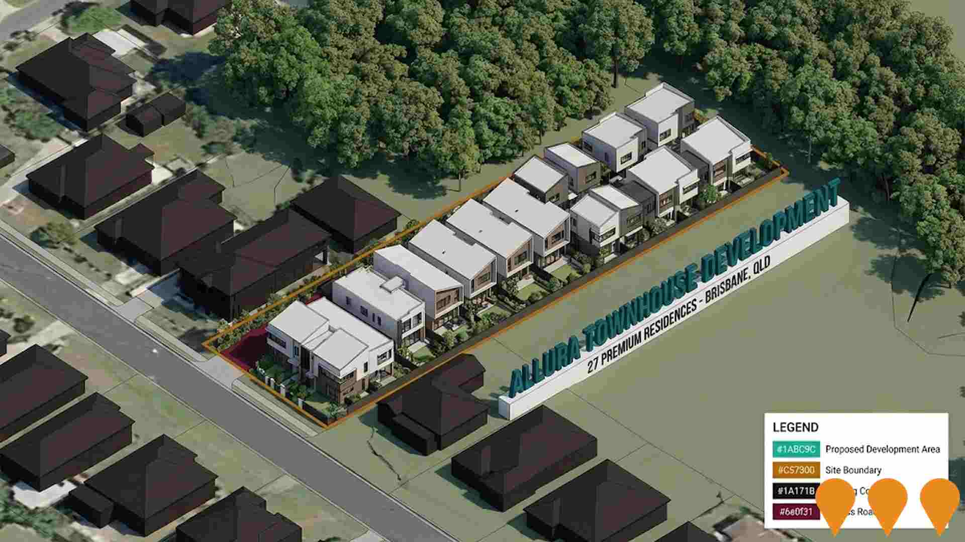
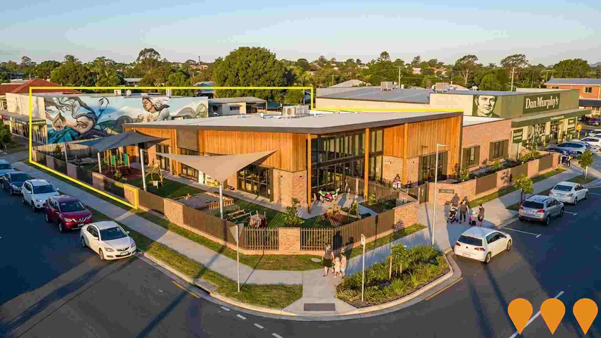
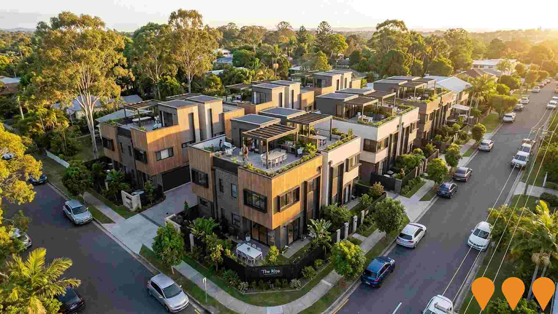
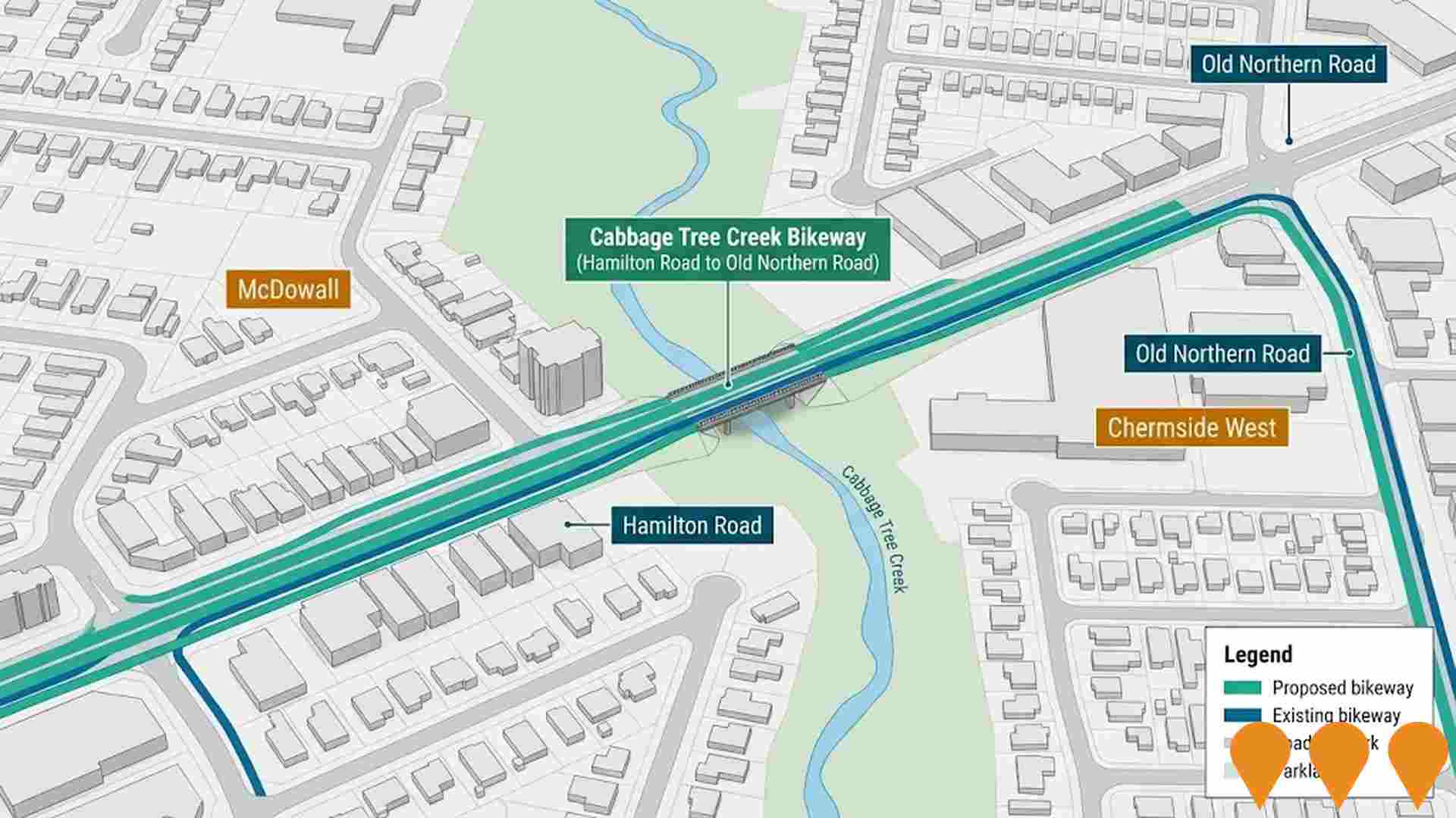
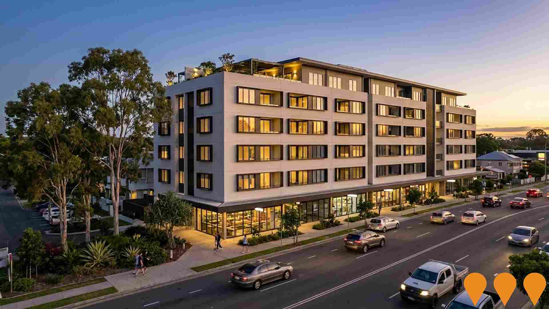
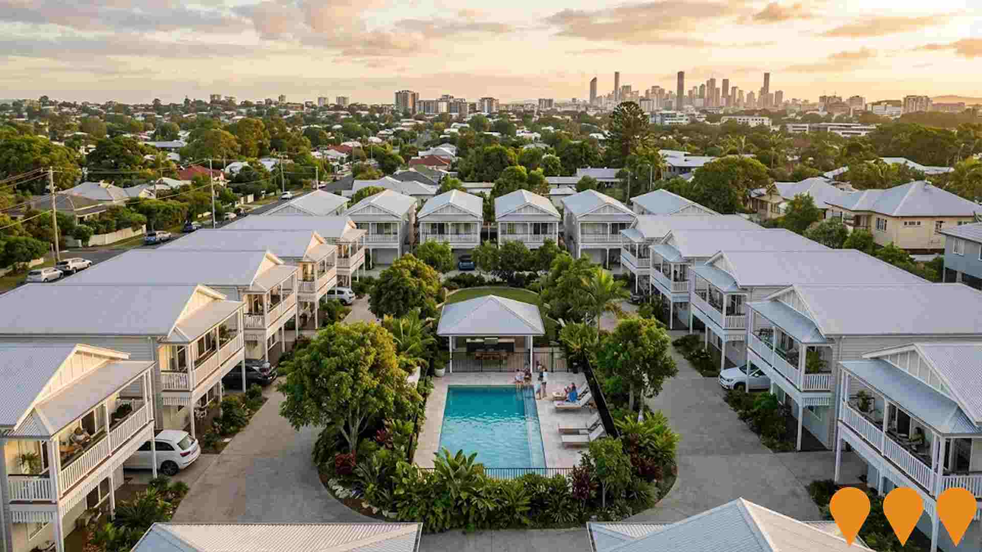
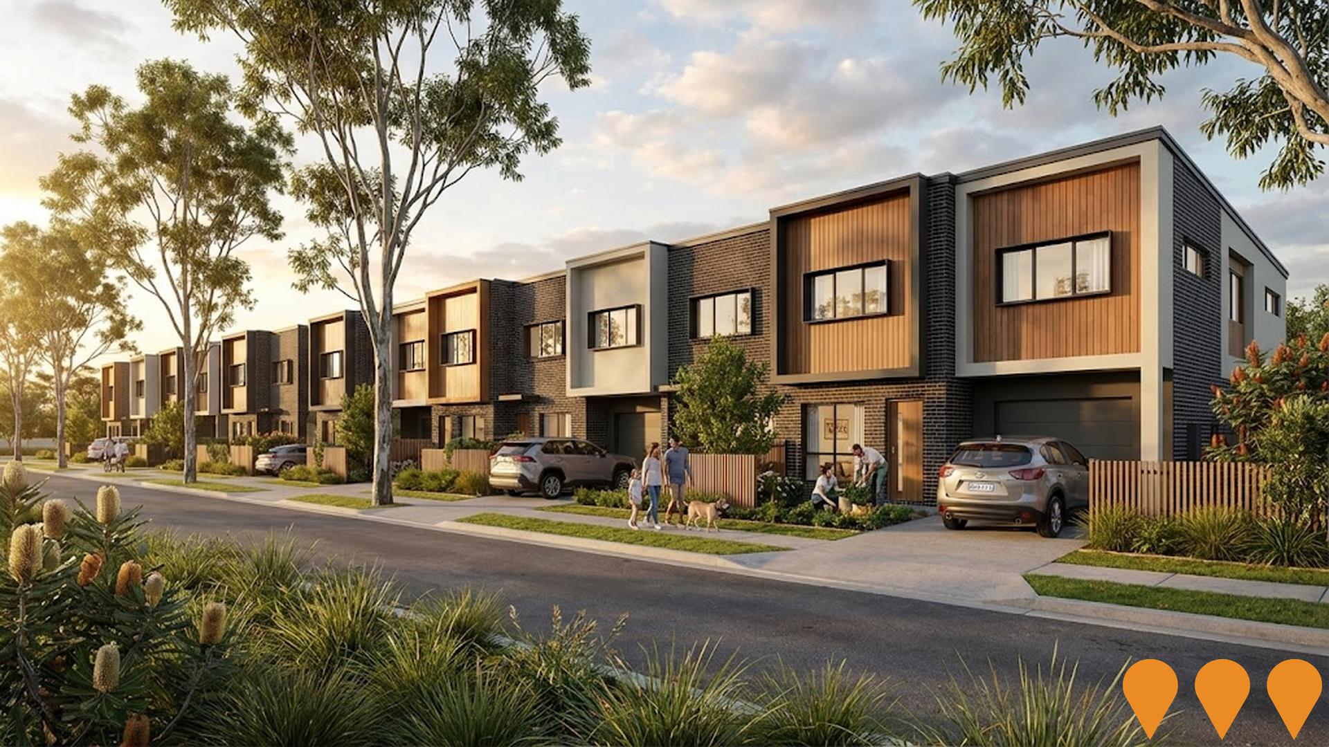
Changes to local infrastructure significantly influence an area's performance. AreaSearch has identified 12 projects that could impact the area. Notable ones include McDowell Village Master Plan Redevelopment, Cabbage Tree Creek Bikeway (Hamilton Road to Old Northern Road), Cove McDowall, and Everton Park Urban Village. The following list details those most relevant.
Professional plan users can use the search below to filter and access additional projects.
INFRASTRUCTURE SEARCH
 Denotes AI-based impression for illustrative purposes only, not to be taken as definitive under any circumstances. Please follow links and conduct other investigations from the project's source for actual imagery. Developers and project owners wishing us to use original imagery please Contact Us and we will do so.
Frequently Asked Questions - Infrastructure
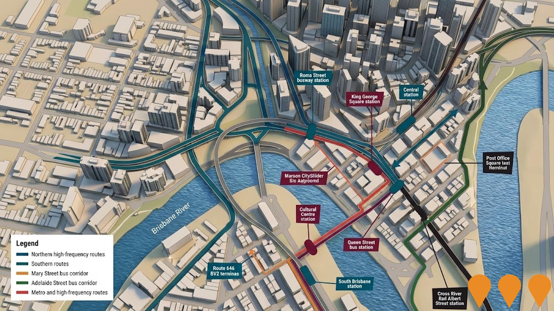
Brisbane Metro Extension - Northern Transitway
The Brisbane Metro Extension - Northern Transitway project would extend high frequency Brisbane Metro services north from the CBD by using the Northern Transitway bus lanes along Gympie Road between Kedron and Chermside, the existing Northern Busway between RBWH and Kedron Brook, and a future busway tunnel as part of a Gympie Road bypass. Northern Transitway bus priority works on Gympie Road were delivered in 2024, improving peak bus travel times between Kedron and Chermside and setting up the corridor for future Metro operations. Brisbane City Council and the Queensland Government are now preparing a rapid business case, supported by federal funding, to confirm the alignment, new stations, depot locations and delivery phasing for a Northern Metro route from the CBD through Lutwyche, Kedron and Chermside to Carseldine ahead of the 2032 Olympic and Paralympic Games. Detailed design and construction timeframes for the Metro extension are subject to the outcomes of this business case and subsequent funding approvals.
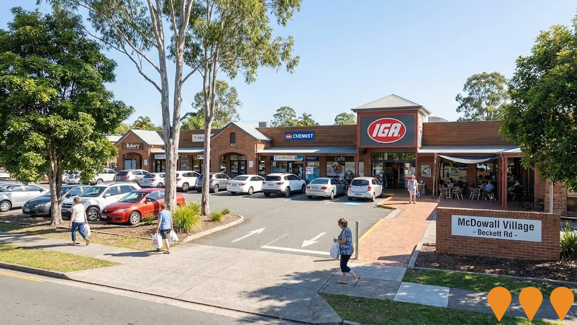
McDowall Village Master Plan Redevelopment
Concept master plan to refurbish and modestly expand McDowall Village Shopping Centre, an IGA anchored neighbourhood centre in northern Brisbane. The indicative scope includes upgrading facades and public areas, reconfiguring selected tenancies to attract new convenience and services retail, improving pedestrian links around the Beckett Road and Hamilton Road frontages, and enhancing small community gathering spaces. As at late 2025 no major development application or construction program has been announced and the project remains in early planning and feasibility stages guided by the centre owner and its property management team.
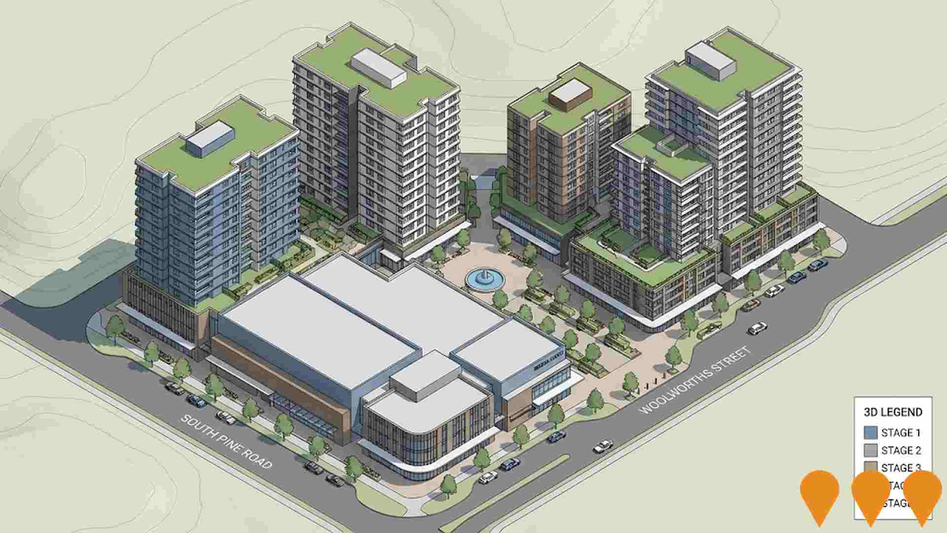
Everton Park Urban Village
Mixed-use development featuring 378 residential apartments across four towers (9-16 storeys), retail spaces, medical centre, pharmacy, and childcare centre. The development includes a central pedestrian plaza and boulevard connecting to Woolworths Street.
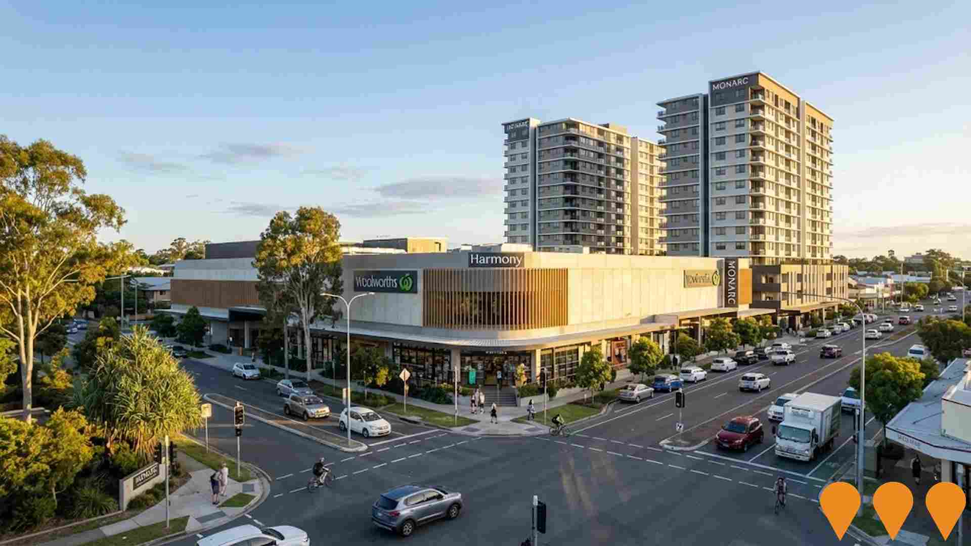
MONARC Mixed-Use Precinct
A 10,000 square metre mixed-use destination precinct at 768 Stafford Road, developed by Rogerscorp in collaboration with Woolworths. The project includes medical facilities, retail spaces, childcare, residential components and a healthcare super clinic serving Defence Force and Emergency Services.
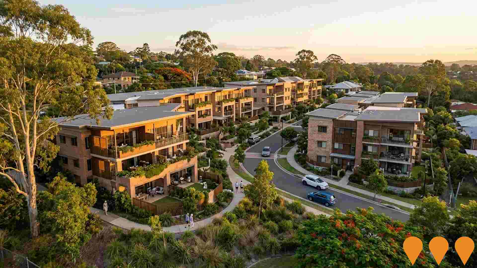
Stafford Heights Aged Care & Retirement Village Expansion
Significant expansion of the existing Churches of Christ aged care and retirement living precinct in Stafford Heights, QLD, adding 80+ new independent living units and enhanced care facilities. The project is being developed by Churches of Christ in Queensland.
Tramway Reserve Active Recreation Hub
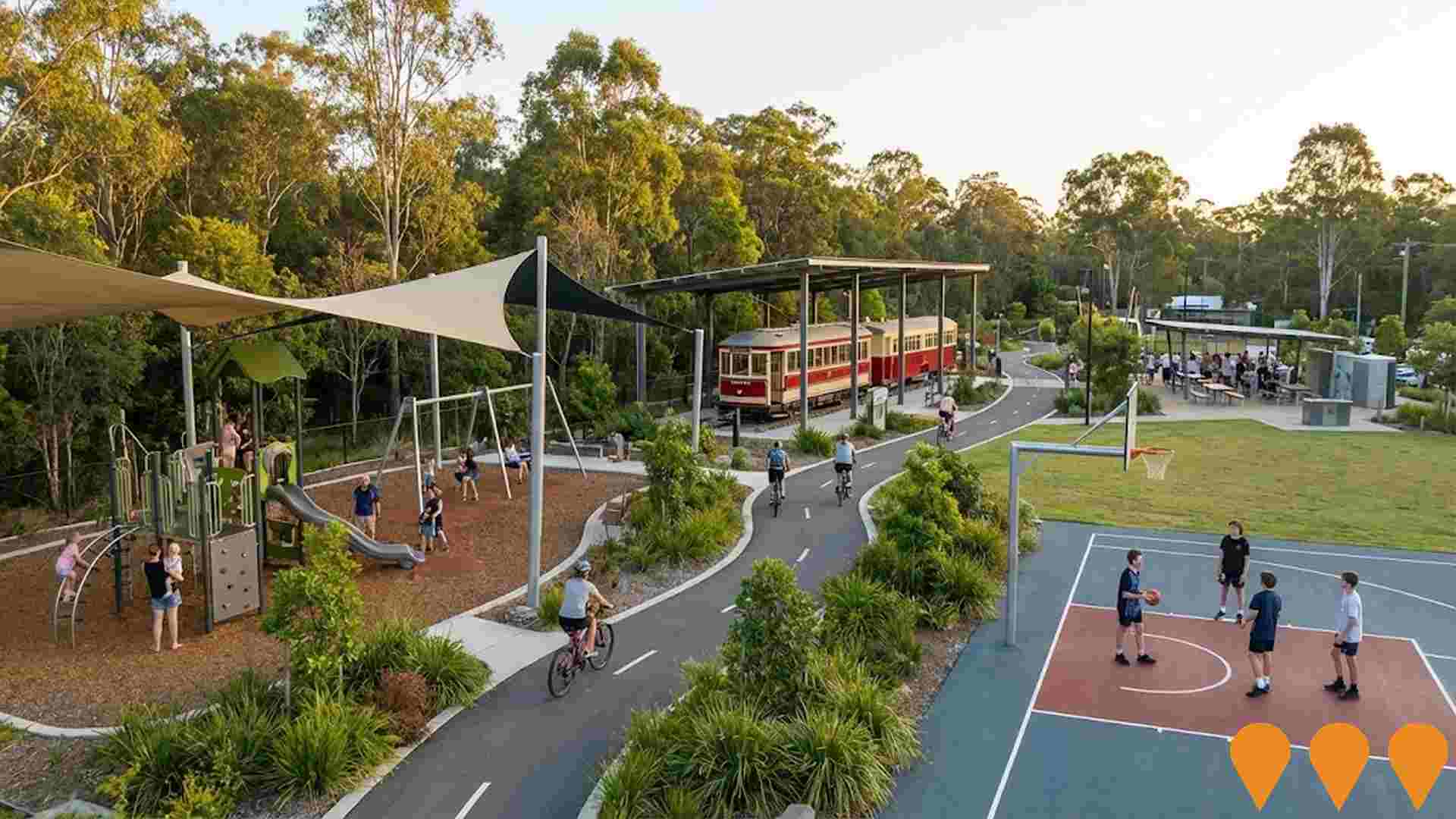
New multi-purpose active recreation hub within Beckett Road Park and the adjacent Tramway Reserve in McDowall. The project delivers an upgraded, fully fenced playground relocated to higher ground to reduce flood risk, new modern play equipment, a half-court basketball space, shared walking and cycling paths, seating and water stations, and other park amenity improvements funded through Brisbane City Council suburban renewal and park upgrade programs. :contentReference[oaicite:0]{index=0}:contentReference[oaicite:1]{index=1}:contentReference[oaicite:2]{index=2}
Raven Street Reserve Mountain Bike Trail Network Upgrade
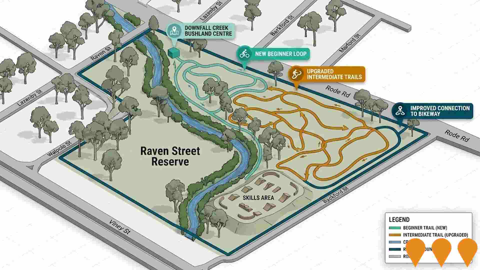
Brisbane City Council is upgrading the mountain bike and off road cycling trail network within Raven Street Reserve, part of the Chermside Hills Reserves in Brisbane's north. The project will formalise and extend existing shared trails, add new beginner and intermediate loops, create a small skills and practice area, improve wayfinding and safety signage, and strengthen connections to the Downfall Creek Bushland Centre, bikeway and nearby streets. Works are planned to be delivered in stages as part of Council's broader Brisbane off road cycling program.
Flockton Street Development Site
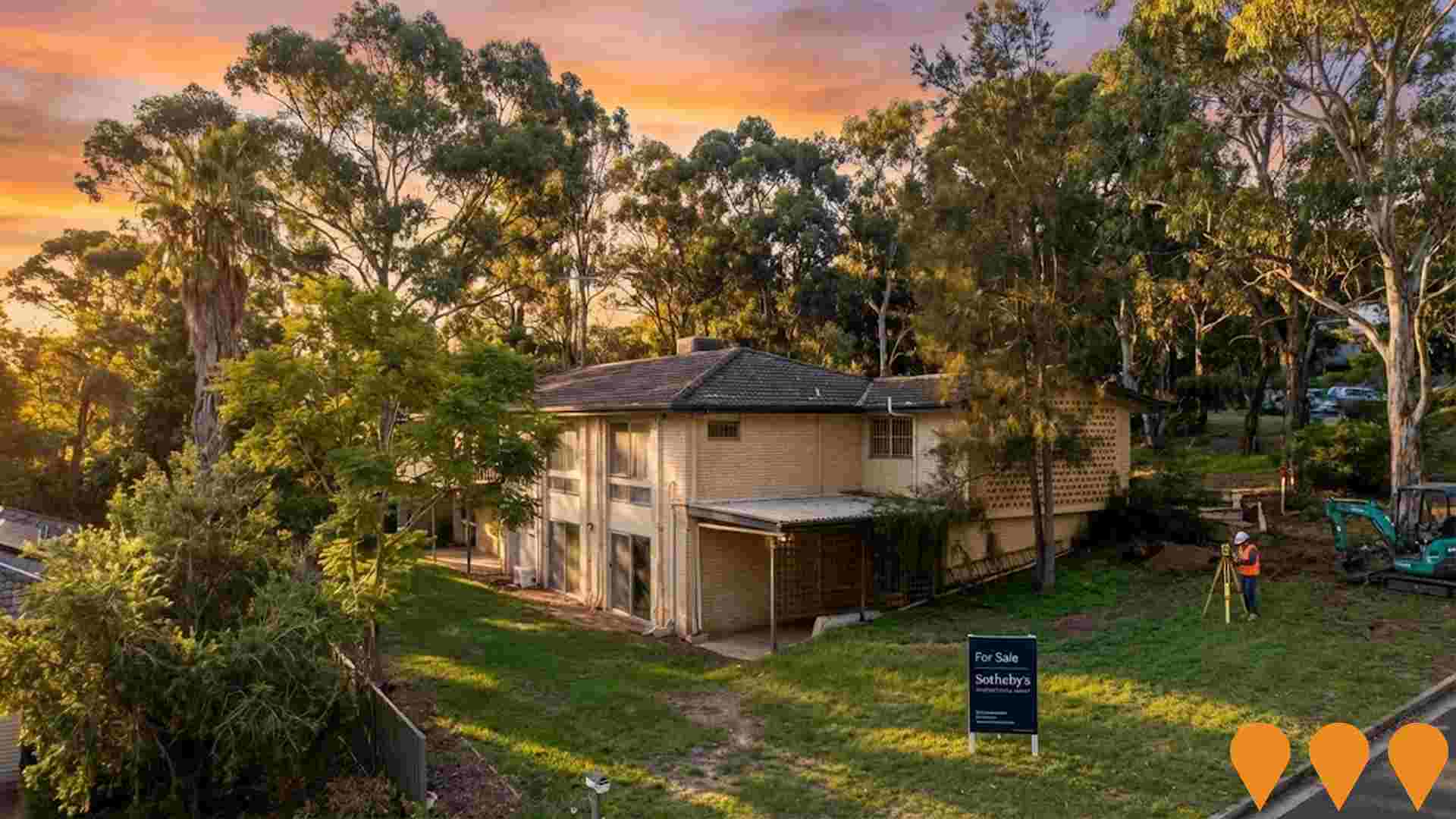
A significant 2.54-acre (1.03 hectares) landholding with development potential, zoned 'Emerging Community'. The site offers opportunity for residential land subdivision, townhouses, or retirement facilities. Being marketed by Sotheby's International Realty.
Employment
AreaSearch analysis of employment trends sees McDowall performing better than 90% of local markets assessed across Australia
McDowall has an educated workforce with significant representation in professional services. The unemployment rate was 2.1% as of September 2025.
Employment growth over the past year was estimated at 10.8%. As of that month, 5,417 residents were employed while the unemployment rate was 1.8% lower than Greater Brisbane's rate of 4.0%. Workforce participation in McDowall was 71.5%, compared to Greater Brisbane's 64.5%. Resident employment is concentrated in health care & social assistance, public administration & safety, and education & training, with a notable concentration in public administration & safety at 1.6 times the regional average.
Manufacturing has limited presence with 3.7% employment compared to 6.4% regionally. Employment opportunities locally may be limited as indicated by Census working population vs resident population count. Over the year to September 2025, employment increased by 10.8%, labour force by 11.1%, raising unemployment rate by 0.3 percentage points. Greater Brisbane recorded employment growth of 3.8% and a fall in unemployment of 0.5 percentage points over this period. State-level data to 25-Nov shows Queensland's employment contracted by 0.01% (losing 1,210 jobs), with the state unemployment rate at 4.2%. National employment forecasts from May-25 suggest growth of 6.6% over five years and 13.7% over ten years. Applying these projections to McDowall's employment mix indicates local employment should increase by 7.0% over five years and 14.4% over ten years, based on a simple weighting extrapolation for illustrative purposes only.
Frequently Asked Questions - Employment
Income
The economic profile demonstrates exceptional strength, placing the area among the top 10% nationally based on comprehensive AreaSearch income analysis
AreaSearch released postcode level ATO data for financial year 2022. McDowall SA2's median income among taxpayers was $62,800 with an average of $75,619. Nationally, these figures are high compared to Greater Brisbane's median of $55,645 and average of $70,520. By September 2025, estimates based on Wage Price Index growth of 13.99% suggest the median income will be approximately $71,586 and the average $86,198. Census data shows McDowall's household, family, and personal incomes rank highly nationally, between the 83rd and 89th percentiles. Income distribution reveals 33.7% of residents (3,055 individuals) earn between $1,500 - $2,999 weekly, similar to surrounding regions at 33.3%. Notably, 38.8% earn above $3,000 weekly. After housing costs, residents retain 87.4% of income, indicating strong purchasing power. The area's SEIFA income ranking places it in the 8th decile.
Frequently Asked Questions - Income
Housing
McDowall is characterized by a predominantly suburban housing profile, with above-average rates of outright home ownership
The dwelling structure in McDowall, as per the latest Census report, consisted of 85.7% houses and 14.3% other dwellings (semi-detached, apartments, 'other' dwellings). In comparison, Brisbane metropolitan area had 77.8% houses and 22.1% other dwellings. Home ownership in McDowall stood at 36.3%, with the remaining dwellings either mortgaged (40.1%) or rented (23.6%). The median monthly mortgage repayment in McDowall was $2,167, exceeding Brisbane's average of $2,000. The median weekly rent in McDowall was recorded at $460, compared to Brisbane's $430. Nationally, McDowall's mortgage repayments were significantly higher than the Australian average of $1,863, while rents were substantially above the national figure of $375.
Frequently Asked Questions - Housing
Household Composition
McDowall features high concentrations of family households, with a higher-than-average median household size
Family households comprise 83.2% of all households, including 43.6% couples with children, 29.6% couples without children, and 9.0% single parent families. Non-family households account for 16.8%, with lone person households at 14.6% and group households making up 2.5%. The median household size is 2.8 people, which is larger than the Greater Brisbane average of 2.7.
Frequently Asked Questions - Households
Local Schools & Education
McDowall demonstrates exceptional educational outcomes, ranking among the top 5% of areas nationally based on AreaSearch's comprehensive analysis of qualification and performance metrics
In McDowall, educational attainment exceeds broader benchmarks. Among residents aged 15+, 37.7% hold university qualifications, compared to 25.7% in Queensland (QLD) and 30.4% nationwide. This high level positions the area favourably for knowledge-based opportunities. Bachelor degrees are most prevalent at 24.4%, followed by postgraduate qualifications (9.3%) and graduate diplomas (4.0%).
Vocational credentials are also prominent, with 30.8% of residents aged 15+ holding such qualifications – advanced diplomas (11.7%) and certificates (19.1%). Educational participation is notably high, with 30.2% of residents currently enrolled in formal education, including 10.0% in primary, 8.5% in secondary, and 6.5% pursuing tertiary education.
Frequently Asked Questions - Education
Schools Detail
Nearby Services & Amenities
Transport
Transport servicing is moderate compared to other areas nationally based on assessment of service frequency, route connectivity and accessibility
Transport analysis shows 24 active stops in McDowall, served by buses on eight routes. These routes provide 911 weekly passenger trips. Residents' average distance to the nearest stop is 216 meters.
Daily service averages 130 trips across all routes, equating to about 37 weekly trips per stop.
Frequently Asked Questions - Transport
Transport Stops Detail
Health
McDowall's residents are extremely healthy with both young and old age cohorts seeing low prevalence of common health conditions
Analysis of health metrics shows strong performance throughout McDowall.
Both young and old age cohorts saw low prevalence of common health conditions. The rate of private health cover was found to be very high at approximately 57% of the total population (~5,176 people). The most common medical conditions in the area were mental health issues and asthma, impacting 7.6 and 7.4% of residents respectively. Seventy-one point seven percent declared themselves completely clear of medical ailments, compared to 70.5% across Greater Brisbane. Fifteen point five percent of residents are aged 65 and over (1,404 people), which is lower than the 16.6% in Greater Brisbane. Health outcomes among seniors are above average, broadly in line with the general population's health profile.
Frequently Asked Questions - Health
Cultural Diversity
The level of cultural diversity witnessed in McDowall was found to be slightly above average when compared nationally for a number of language and cultural background related metrics
McDowell was found to be more culturally diverse than most local markets, with 25.0% of its population born overseas and 17.4% speaking a language other than English at home. The predominant religion in McDowell is Christianity, comprising 59.5% of the population, compared to 54.6% across Greater Brisbane. Regarding ancestry, the top three groups are English (24.9%), Australian (24.8%), and Irish (9.0%).
Notably, Italian (5.4%) and South African (0.7%) ethnicities are overrepresented in McDowell compared to regional figures of 3.8% and 0.7%, respectively. Samoan ethnicity is slightly underrepresented at 0.3%, compared to the regional figure of 0.5%.
Frequently Asked Questions - Diversity
Age
McDowall's population is slightly younger than the national pattern
McDowall's median age is 38, which is slightly higher than Greater Brisbane's figure of 36 but equal to Australia's median age of 38. The 5-14 age group constitutes 13.9% of McDowall's population compared to Greater Brisbane, while the 25-34 cohort makes up 10.8%. Between 2021 and now, the proportion of the population aged 75 to 84 has increased from 4.4% to 5.4%, whereas the percentage of those aged 55 to 64 has decreased from 11.8% to 11.0%. By 2041, demographic projections indicate significant changes in McDowall's age structure. Notably, the 45-54 group is expected to grow by 21%, adding 255 people and reaching a total of 1,489 from its current figure of 1,233. The aging population trend is evident, with those aged 65 and above accounting for 54% of the projected growth. Conversely, the 15-24 and 5-14 age groups are anticipated to experience population declines.
