Chart Color Schemes
This analysis uses ABS Statistical Areas Level 2 (SA2) boundaries, which can materially differ from Suburbs and Localities (SAL) even when sharing similar names.
SA2 boundaries are defined by the Australian Bureau of Statistics and are designed to represent communities for statistical reporting (e.g., census and ERP).
Suburbs and Localities (SAL) represent commonly-used suburb/locality names (postal-style areas) and may use different geographic boundaries. For comprehensive analysis, consider reviewing both boundary types if available.
est. as @ -- *
ABS ERP | -- people | --
2021 Census | -- people
Sales Activity
Curious about local property values? Filter the chart to assess the volume and appreciation (including resales) trends and regional comparisons, or scroll to the map below view this information at an individual property level.
Find a Recent Sale
Sales Detail
Population
Population growth drivers in Kiama Hinterland - Gerringong are slightly above average based on AreaSearch's ranking of recent, and medium term trends
Kiama Hinterland - Gerringong's population was around 8,123 as of November 2025. This figure reflects a decrease of 13 people since the 2021 Census, which reported a population of 8,136. The change is inferred from an estimated resident population of 8,087 in June 2024 and an additional 34 validated new addresses since the Census date. This level of population results in a density ratio of 36 persons per square kilometer. Population growth was primarily driven by overseas migration during recent periods.
AreaSearch adopted ABS/Geoscience Australia projections for each SA2 area, released in 2024 with 2022 as the base year. For areas not covered, NSW State Government's SA2 level projections were used, released in 2022 with 2021 as the base year. Growth rates by age group from these aggregations are applied to all areas for years 2032 to 2041. Based on latest annual ERP population numbers, a population increase just below the median of regional areas nationally is expected, with an anticipated increase of 865 persons to 2041, reflecting a total increase of 10.2% over the 17 years.
Frequently Asked Questions - Population
Development
Residential development activity is lower than average in Kiama Hinterland - Gerringong according to AreaSearch's national comparison of local real estate markets
Kiama Hinterland - Gerringong has recorded approximately 28 residential property approvals annually over the past five financial years, totalling 144 homes. As of FY-26, 11 approvals have been recorded. The population has fallen during this period, yet housing supply has remained adequate relative to demand, creating a balanced market with good buyer choice. New dwellings are developed at an average expected construction cost value of $766,000, indicating a focus on the premium segment with upmarket properties.
This financial year, $7.5 million in commercial development approvals have been recorded, reflecting the area's primarily residential nature. Compared to the Rest of NSW, Kiama Hinterland - Gerringong records significantly lower building activity, which is 60.0% below the regional average per person. Recent construction comprises 83.0% detached houses and 17.0% attached dwellings, preserving the area's low density nature. With around 289 people per dwelling approval, Kiama Hinterland - Gerringong exhibits characteristics of a low-density area. Population forecasts indicate an increase of 826 residents by 2041, aligning with existing development levels to maintain stable market conditions without significant price pressures.
Population forecasts indicate Kiama Hinterland - Gerringong will gain 826 residents through to 2041 (from the latest AreaSearch quarterly estimate). Existing development levels seem aligned with future requirements, maintaining stable market conditions without significant price pressures.
Frequently Asked Questions - Development
Infrastructure
Kiama Hinterland - Gerringong has strong levels of nearby infrastructure activity, ranking in the top 40% nationally
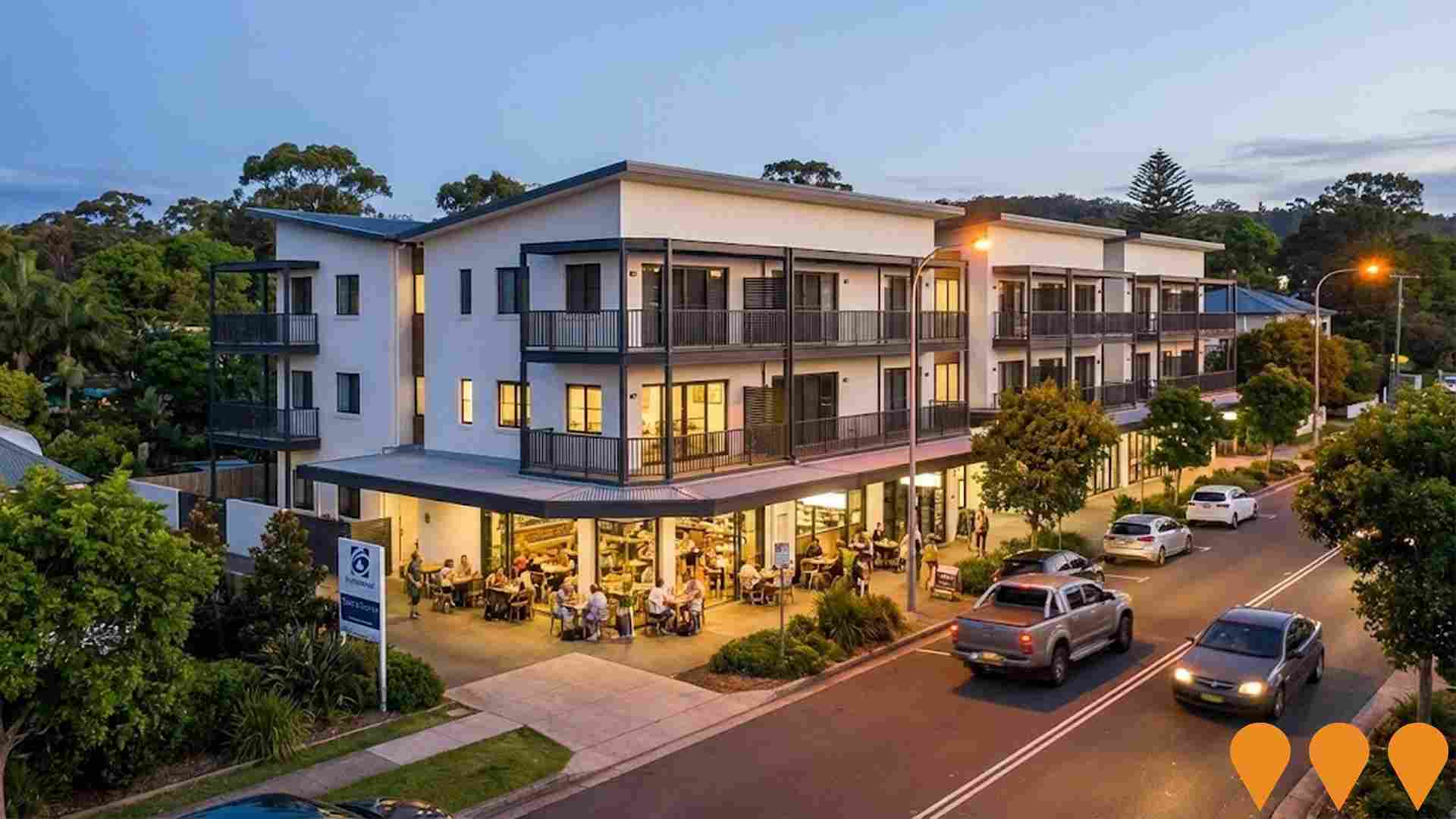
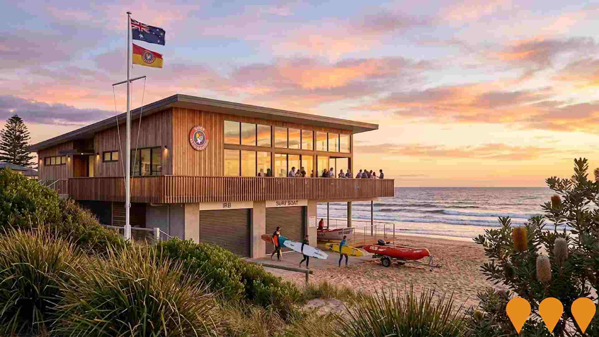
Changes to local infrastructure significantly impact an area's performance. AreaSearch has identified 21 projects that could affect this region. Notable ones include Sunnymede Urban Release Area, Gerringong Surf Life Saving Club Redevelopment, Princes Highway Gerringong Upgrade, and Oceania @ Gerringong. The following list details those most likely to be relevant.
Professional plan users can use the search below to filter and access additional projects.
INFRASTRUCTURE SEARCH
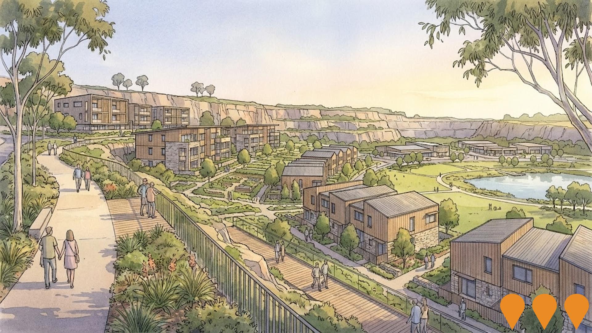
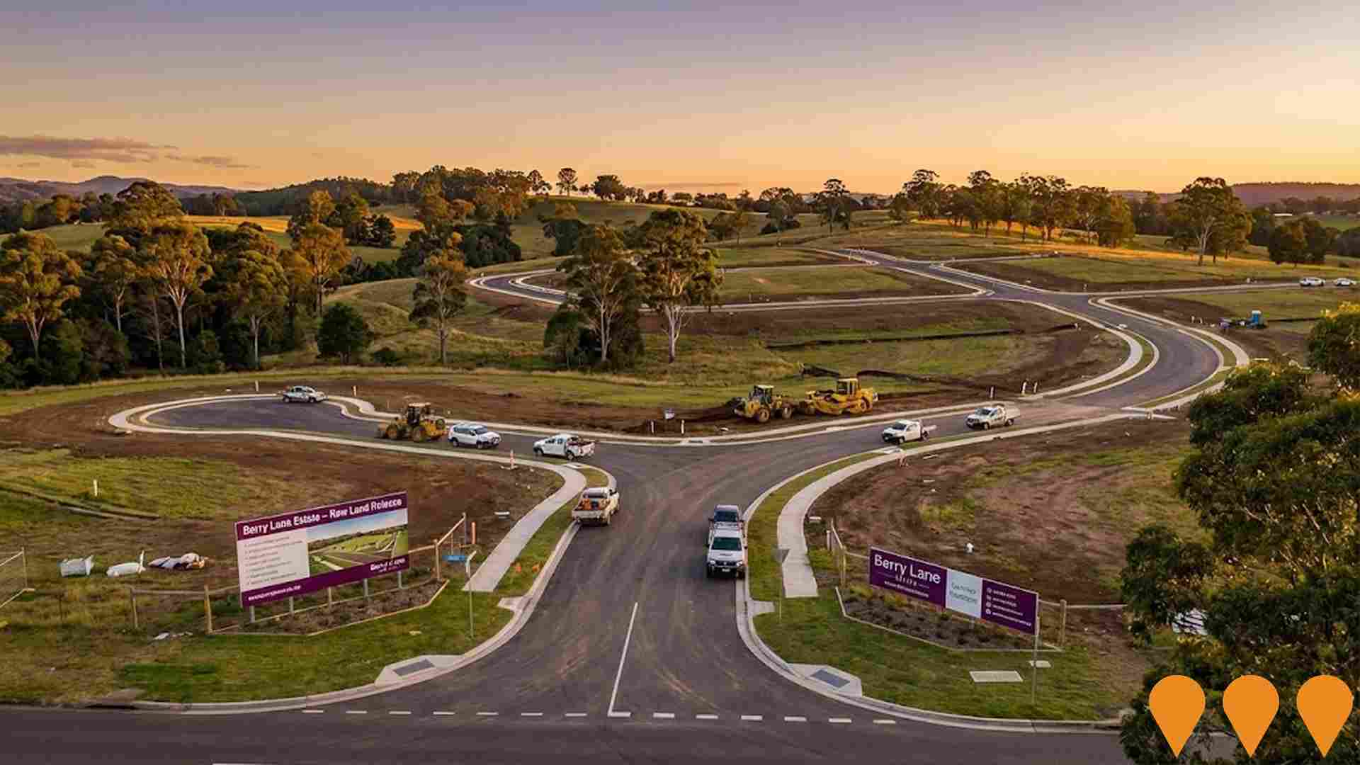
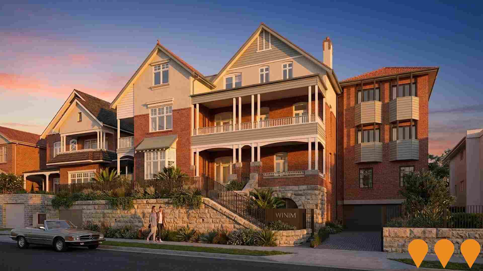
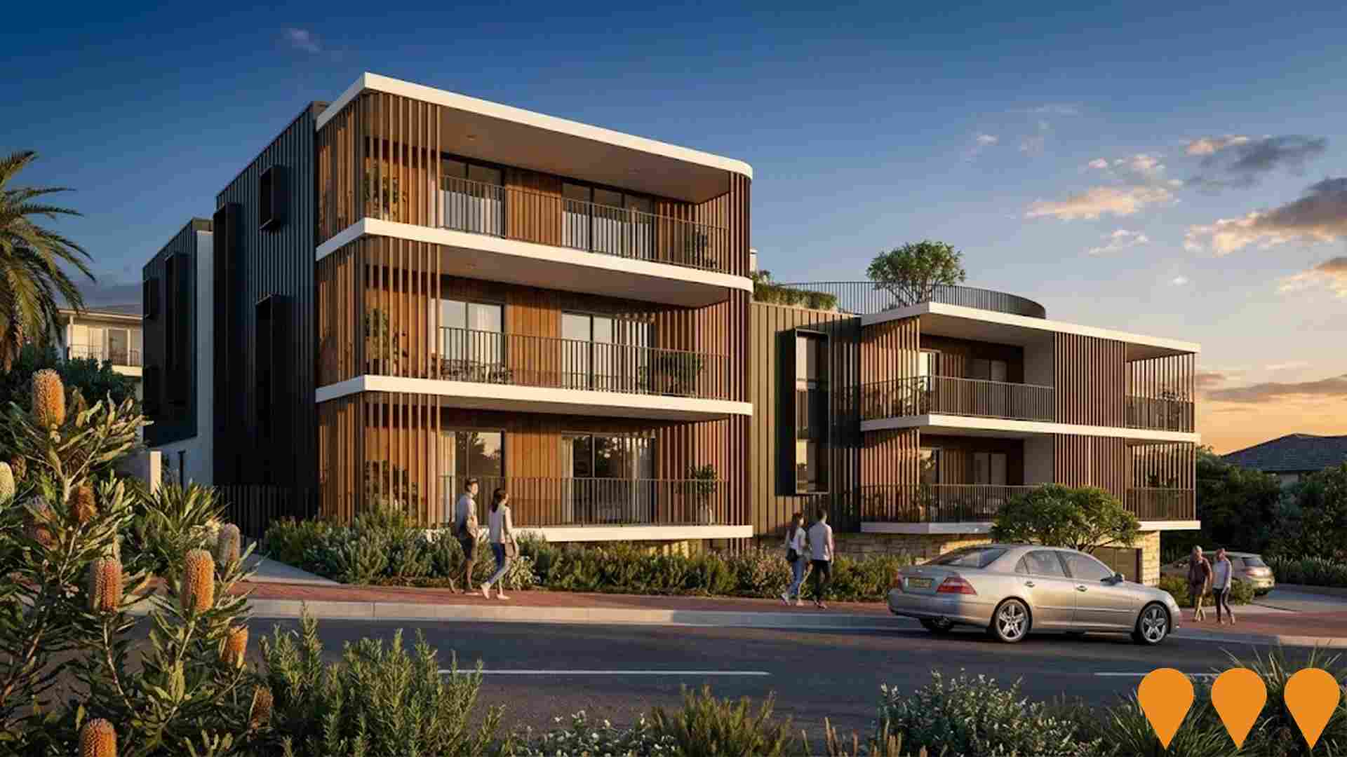
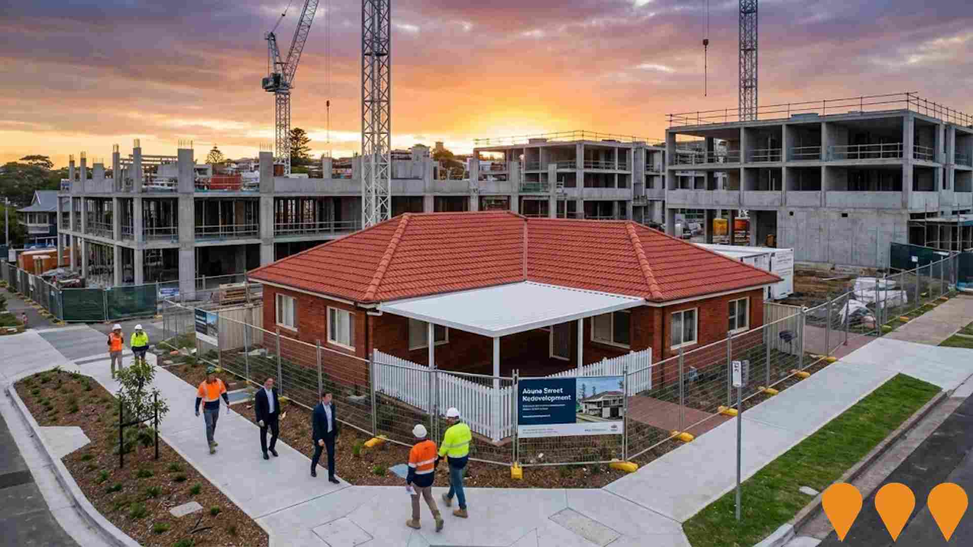
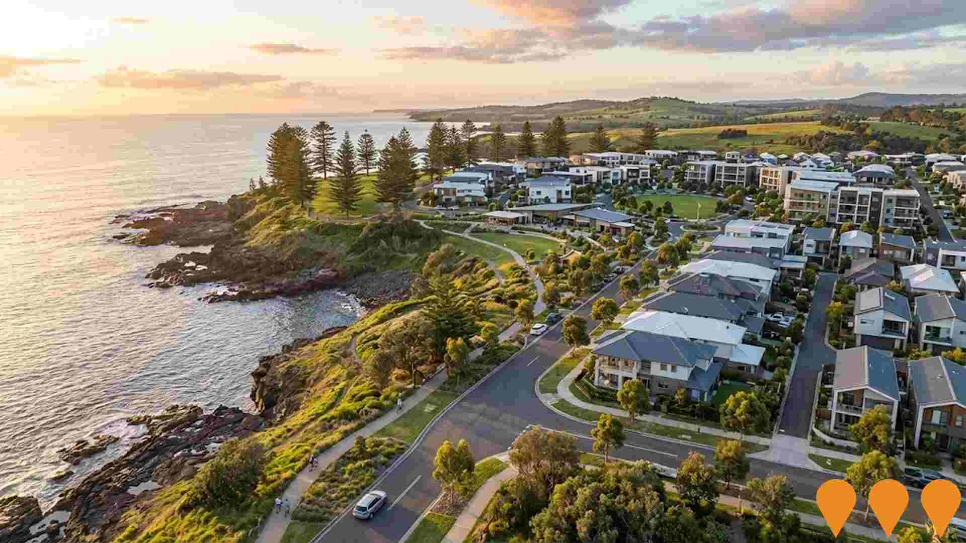
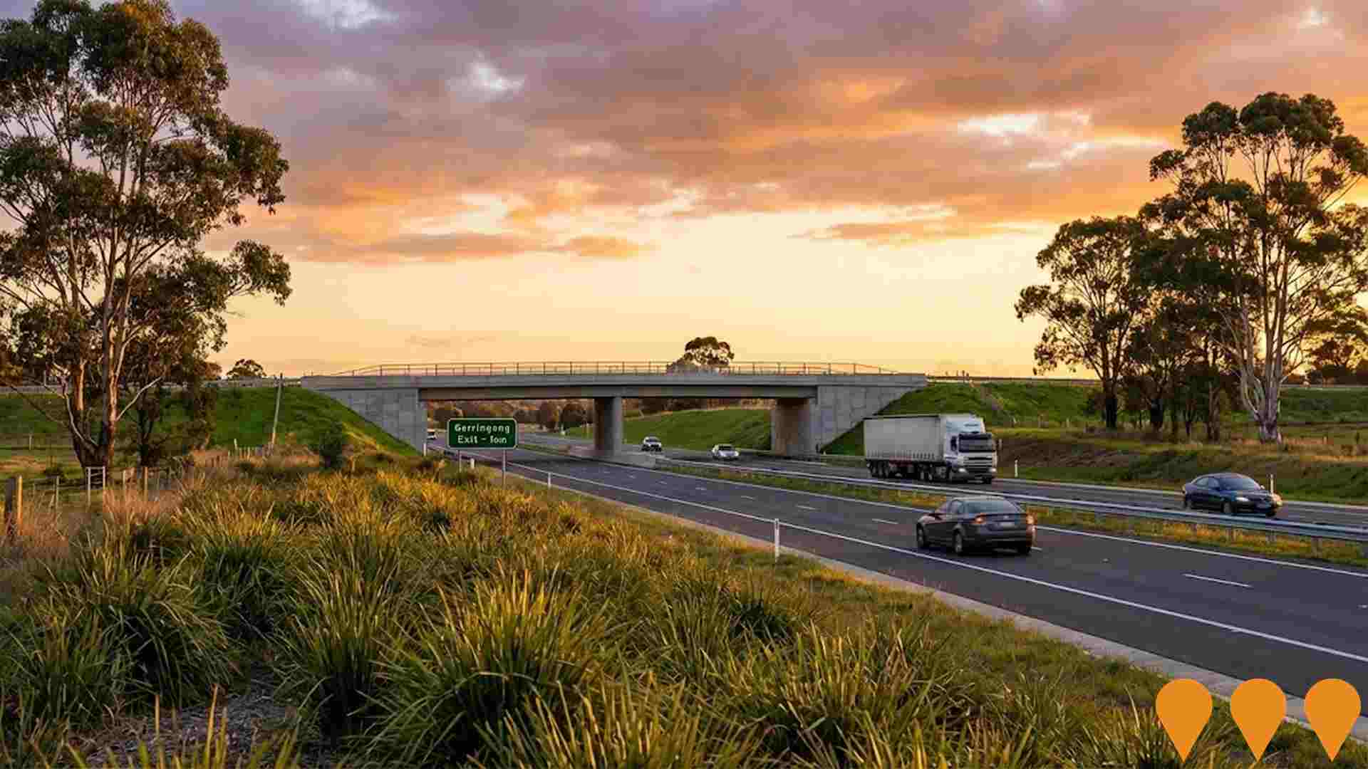
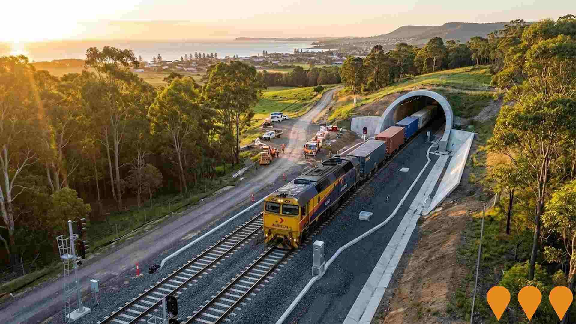
 Denotes AI-based impression for illustrative purposes only, not to be taken as definitive under any circumstances. Please follow links and conduct other investigations from the project's source for actual imagery. Developers and project owners wishing us to use original imagery please Contact Us and we will do so.
Frequently Asked Questions - Infrastructure
Springside Hill
Springside Hill is a proposed 114-hectare masterplanned community in West Kiama featuring approximately 1200 low to medium density homes, with 25% reserved for affordable housing, essential workers, first home buyers and local residents. The development includes over 9,700 square metres of commercially zoned land for neighbourhood shops, supermarket and medical facilities, community amenities, approximately 40% open space with walking and cycling tracks along Spring Creek, and preservation of local character with sustainable design. Following Kiama Council's initial rejection in April 2024, the Southern Regional Planning Panel recommended in September 2024 that the rezoning proceed to Gateway Determination with amendments.
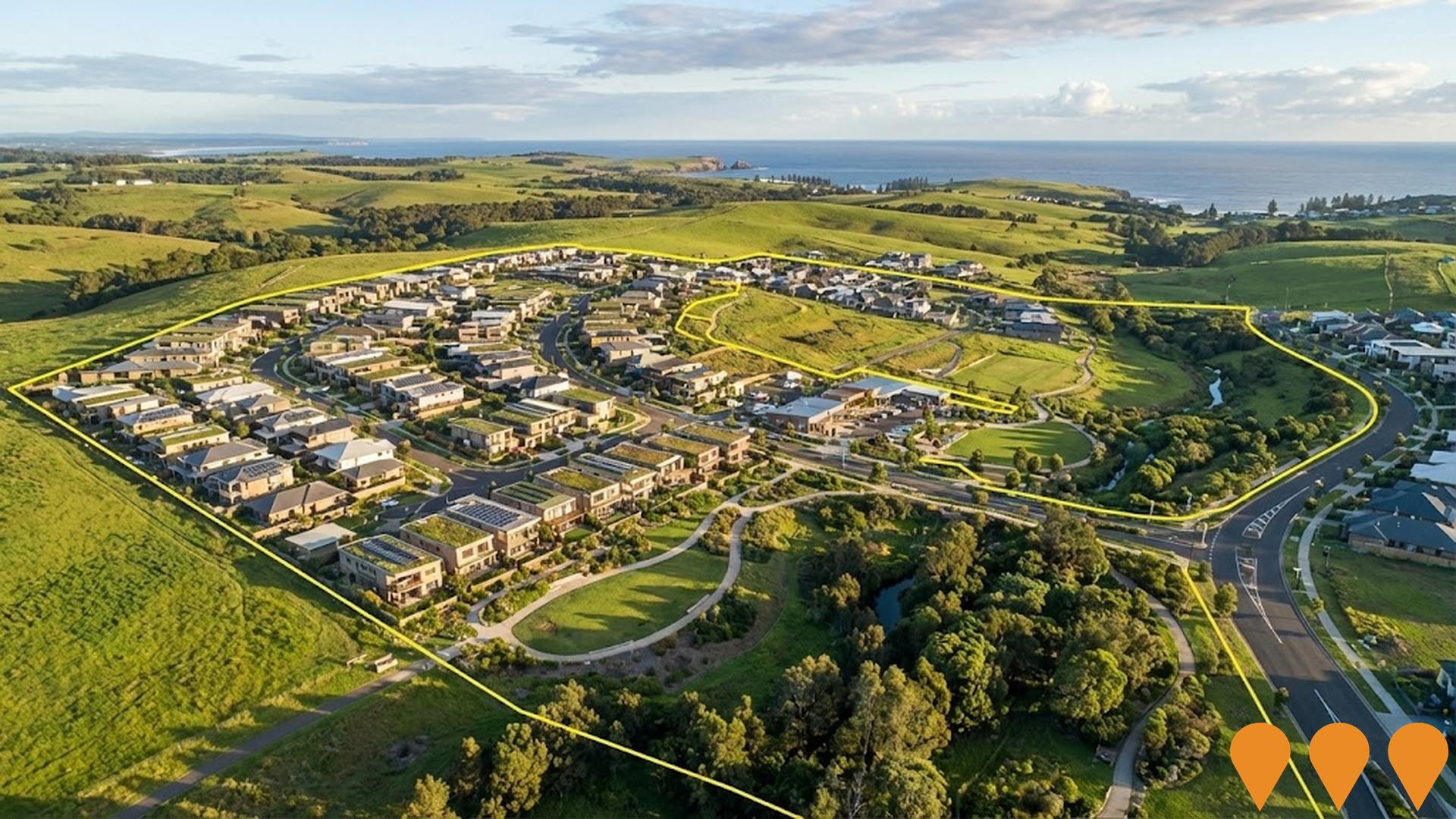
Sunnymede Urban Release Area
Planning Proposal PP-2025-61 to amend the Kiama Local Environmental Plan 2011 to extend the Gerringong residential zone, facilitating a proposed approximately 147 residential lots, public recreation, environmental management, environmental conservation zones, and associated infrastructure, including an access road and bridge. A Planning Agreement for approximately $7M in public benefit contributions is also being considered.
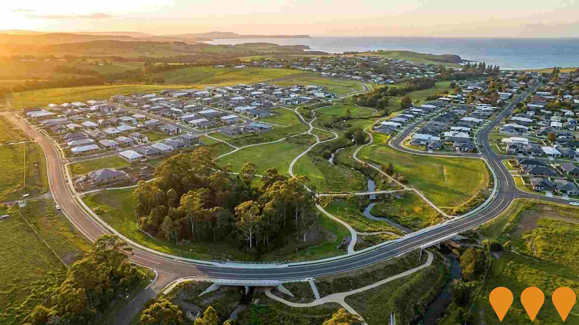
Akuna Street Mixed-Use Development
A major mixed-use redevelopment in central Kiama featuring retention of a heritage building, demolition of existing structures, and construction of 82 shop-top housing units, 24 retail premises including 2 supermarkets, food and drink premises, and 344 basement car parking spaces. The approximately $66 million development by Level 33 Property Development is currently under assessment in the Land and Environment Court (proceedings scheduled for December 2025 after mediation collapse with Kiama Council). The project will revitalise the largest redevelopment site in Kiama's town centre.
Springside Hill Master Planned Community
Proposed masterplanned community offering 1200 homes with diverse housing types, 25% guaranteed affordable housing for essential workers, first home buyers and locals. Located on 114-hectare site at 177 Long Brush Road, Jerrara. Includes community facilities, open space and Spring Creek public access.
Princes Highway Gerringong Upgrade
Upgrade of 7.5 km of the Princes Highway between Mount Pleasant and Toolijooa Road to a four-lane divided highway with median separation and two new interchanges providing access to Gerringong and Gerroa. The project improves safety, travel times and flood-resilient access to the town via Belinda Street.
Illawarra-Shoalhaven Regional Transport Plan 2041
The strategic blueprint for the region's transport network to 2041, comprising 71 initiatives to support a population of 505,000. Key projects include the $1.9 billion Princes Highway Upgrade program, Mount Ousley interchange, Picton Road upgrade, and rail improvements (More Trains, More Services). The plan targets a '30-minute city' vision, ensuring 20% of trips are made by walking, cycling, or public transport, and improving freight connections to Western Sydney.

South Kiama Urban Release Area
A 40-hectare masterplanned urban release area for approximately 380 residential lots to be delivered over four stages. Stage 1 includes 81 residential lots between 300-700 sqm, a 2000 sqm local park with basketball court and playground, riparian corridor rehabilitation, heritage conservation including Kendalls Cemetery and dry stone walls, stormwater management infrastructure, and associated roads and services. The Development Control Plan was adopted February 2025, with Stage 1 DA lodged June 2025 and currently under assessment. Estimated $14+ million for Stage 1 infrastructure alone, with subsequent stages to follow at 18-month intervals. Developer is White Constructions Developments Pty Ltd.

South Coast Line Rail Upgrade
13km of track upgraded to 25-tonne axle loading between Berry to Bomaderry and tunnels between Kiama and Berry. Enables heavier and longer rail freight services, supporting regional employment and NSW trade economy. Benefits Manildra Group operations and Port of Botany exports.
Employment
AreaSearch analysis places Kiama Hinterland - Gerringong well above average for employment performance across multiple indicators
Kiama Hinterland - Gerringong has a well-educated workforce with essential services sectors well represented. As of September 2025, the unemployment rate is 2.0%.
Over the past year, there has been relative employment stability. There are 4,240 residents in work, with an unemployment rate of 1.8% below Rest of NSW's rate of 3.8%, and workforce participation is broadly similar to Rest of NSW's 56.4%. Key industries of employment among residents are health care & social assistance, construction, and education & training. The area has particular employment specialization in education & training, with an employment share of 1.3 times the regional level.
Retail trade is under-represented, with only 6.8% of Kiama Hinterland - Gerringong's workforce compared to 9.8% in Rest of NSW. Employment opportunities locally appear limited based on Census working population vs resident population comparison. During the year to September 2025, employment levels increased by 0.2%, and labour force increased by 0.1%, leaving unemployment broadly flat. In contrast, Rest of NSW recorded an employment decline of 0.5%, labour force decline of 0.1%, with unemployment rising by 0.4 percentage points. State-level data to 25-Nov shows NSW employment contracted by 0.03% (losing 2,260 jobs), with the state unemployment rate at 3.9%. National employment forecasts from May-25 suggest national employment will expand by 6.6% over five years and 13.7% over ten years. Applying these projections to Kiama Hinterland - Gerringong's employment mix suggests local employment should increase by 6.7% over five years and 13.8% over ten years, assuming constant population projections for illustrative purposes.
Frequently Asked Questions - Employment
Income
Income levels align closely with national averages, indicating typical economic conditions for Australian communities according to AreaSearch analysis
AreaSearch's latest postcode level ATO data for financial year 2022 shows that Kiama Hinterland - Gerringong SA2 has a high national median income of $49,203 and an average income of $76,178. This contrasts with Rest of NSW's median income of $49,459 and average income of $62,998. Based on Wage Price Index growth of 12.61% since financial year 2022, current estimates for Kiama Hinterland - Gerringong would be approximately $55,407 (median) and $85,784 (average) as of September 2025. According to the 2021 Census, incomes in Kiama Hinterland - Gerringong cluster around the 60th percentile nationally. The predominant income cohort spans 29.8% of locals (2,420 people), falling within the $1,500 - 2,999 category, which aligns with the broader area's figure of 29.9%. After housing costs, residents retain 87.7% of their income, reflecting strong purchasing power. The area's SEIFA income ranking places it in the 8th decile.
Frequently Asked Questions - Income
Housing
Kiama Hinterland - Gerringong is characterized by a predominantly suburban housing profile, with above-average rates of outright home ownership
Kiama Hinterland - Gerringong's dwellings, as per the latest Census, were 86.4% houses and 13.7% other dwellings (semi-detached, apartments, 'other' dwellings). In comparison, Non-Metro NSW had 79.0% houses and 21.0% other dwellings. Home ownership in Kiama Hinterland - Gerringong was 51.1%, with mortgaged dwellings at 31.7% and rented ones at 17.2%. The median monthly mortgage repayment was $2,167, aligning with Non-Metro NSW's average. The median weekly rent was $500, compared to Non-Metro NSW's $430. Nationally, Kiama Hinterland - Gerringong's mortgage repayments were higher at $2,167 and rents were substantially above the national figure of $375.
Frequently Asked Questions - Housing
Household Composition
Kiama Hinterland - Gerringong has a typical household mix, with a fairly typical median household size
Family households comprise 76.7% of all households, including 32.7% couples with children, 36.2% couples without children, and 7.1% single parent families. Non-family households account for the remaining 23.3%, with lone person households at 21.1% and group households comprising 2.1%. The median household size is 2.6 people, which matches the average for the Rest of NSW.
Frequently Asked Questions - Households
Local Schools & Education
Kiama Hinterland - Gerringong shows strong educational performance, ranking in the upper quartile nationally when assessed across multiple qualification and achievement indicators
Educational attainment in Kiama Hinterland - Gerringong shows a significant advantage compared to broader benchmarks. As of the latest data, 35.2% of residents aged 15 years and over hold university qualifications, surpassing the SA3 area's 19.9% and Rest of NSW's 21.3%. This high level of educational attainment is led by bachelor degrees at 23.3%, followed by postgraduate qualifications (8.0%) and graduate diplomas (3.9%). Vocational credentials are also prominent, with 36.9% of residents aged 15 years and over holding such qualifications – advanced diplomas account for 12.2% while certificates make up 24.7%.
Educational participation is notably high, with 26.6% of residents currently enrolled in formal education, including 8.9% in primary education, 7.0% in secondary education, and 4.3% pursuing tertiary education.
Frequently Asked Questions - Education
Schools Detail
Nearby Services & Amenities
Transport
Transport servicing is good compared to other areas nationally based on assessment of service frequency, route connectivity and accessibility
Kiama Hinterland - Gerringong has 160 active public transport stops. These are served by a mix of train and bus routes, totalling 22 individual routes. Together, these routes facilitate 2,578 weekly passenger trips.
The area's transport accessibility is rated as excellent, with residents, on average, located 127 metres from the nearest stop. Service frequency averages 368 trips per day across all routes, translating to approximately 16 weekly trips per individual stop.
Frequently Asked Questions - Transport
Transport Stops Detail
Health
Health outcomes in Kiama Hinterland - Gerringong are marginally below the national average with common health conditions slightly more prevalent than average across both younger and older age cohorts
Kiama Hinterland - Gerringong shows below-average health indicators with common conditions slightly more prevalent than average across both younger and older age groups. Private health cover is very high at approximately 58% of the total population (~4,695 people), compared to 52.7% in Rest of NSW.
The most common medical conditions are arthritis (10.7%) and asthma (7.4%). 66.2% of residents declare themselves completely clear of medical ailments, compared to 65.2% in Rest of NSW. The area has 28.6% of residents aged 65 and over (2,323 people), higher than the 20.9% in Rest of NSW. Health outcomes among seniors are strong, performing better than the general population in health metrics.
Frequently Asked Questions - Health
Cultural Diversity
Kiama Hinterland - Gerringong is considerably less culturally diverse than average when assessed alongside AreaSearch's national rankings for language and cultural background related metrics
Kiama Hinterland-Gerringong showed lower cultural diversity, with 87.4% born in Australia, 92.1% being citizens, and 96.2% speaking English only at home. Christianity was the predominant religion, accounting for 55.2%. Judaism was slightly overrepresented at 0.2%, compared to 0.1% regionally.
Top ancestry groups were English (32.6%), Australian (28.1%), and Irish (11.9%). Scottish (9.0%) and Welsh (0.6%) were notably overrepresented, while Maltese was underrepresented at 0.6%.
Frequently Asked Questions - Diversity
Age
Kiama Hinterland - Gerringong hosts an older demographic, ranking in the top quartile nationwide
Kiama Hinterland - Gerringong's median age as of 2021 Census data is 48 years, which is older than Rest of NSW's median age of 43 and significantly higher than Australia's median age of 38. The age profile shows that the 65-74 year-olds are particularly prominent at 15.6%, while the 25-34 group is smaller at 8.3% compared to Rest of NSW. This concentration of 65-74 year-olds is well above the national average of 9.4%. Post-2021 Census data shows that the 75 to 84 age group has grown from 8.6% to 9.6% of the population, while the 55 to 64 cohort has declined from 15.1% to 14.2%. Demographic modeling suggests that Kiama Hinterland - Gerringong's age profile will evolve significantly by 2041. The 85+ age cohort is projected to expand considerably, increasing by 223 people (81%) from 276 to 500. Conversely, population declines are projected for the 65-74 and 15-24 cohorts.
