Chart Color Schemes
This analysis uses Suburbs and Localities (SAL) boundaries, which can materially differ from Statistical Areas (SA2) even when sharing the same name.
SAL boundaries are defined by Australia Post and the Australian Bureau of Statistics to represent commonly-known suburb names used in postal addresses.
Statistical Areas (SA2) are designed for census data collection and may combine multiple suburbs or use different geographic boundaries. For comprehensive analysis, consider reviewing both boundary types if available.
est. as @ -- *
2021 Census | -- people





Sales Activity


Curious about local property values? Filter the chart to assess the volume and appreciation (including resales) trends and regional comparisons, or scroll to the map below view this information at an individual property level.
Find a Recent Sale

Sales Detail
Population
Nakara is positioned among the lower quartile of areas assessed nationally for population growth based on AreaSearch's assessment of recent, and medium term trends
The suburb of Nakara has an estimated population of 1,967 as of May 2026, according to assessments that combine ABS population updates with address validations conducted by AreaSearch. This figure represents a rise of 61 individuals, or 3.2%, compared to the 2021 Census count of 1,906 residents. The updated resident total of 1,967 was derived by AreaSearch through evaluation of the latest ERP data published by the ABS in June 2025, along with address verification performed after the Census date. At this population level, the suburb reaches a density of 2,341 persons per square kilometer, ranking within the upper quartile among locations evaluated by AreaSearch at the national level. Growth in the area has been largely fueled by overseas migration, which accounted for roughly 82.0% of the total population increase in recent times.
For future projections, AreaSearch utilizes the 2024 projections from the ABS and Geoscience Australia for each SA2 region, which use 2022 as their starting point. In instances where SA2 data is unavailable, or to calculate projections beyond 2032, growth rates for specific age brackets from the 2023 ABS Greater Capital Region projections (using 2022 data) are applied locally. Looking ahead, the suburb of Nakara is expected to experience population expansion that exceeds the national median, with projections at the SA2 level indicating an increase of 335 residents by 2041, representing a total expansion of 17.0% over the 16-year timeframe.
Frequently Asked Questions - Population
Development
The level of residential development activity in Nakara is very low in comparison to the average area assessed nationally by AreaSearch
In the suburb of Nakara, municipal records show no residential building approvals have been issued during the last five years. This indicates that the locality has reached its development capacity, with almost no empty land remaining for construction. Established neighborhoods of this nature frequently experience consistent demand for existing housing options because buyers have no access to brand new alternatives.
In comparison to the broader Greater Darwin region, the suburb of Nakara displays considerably lower levels of construction activity. This lack of new development generally supports demand and helps maintain prices for established properties. The rate of activity also falls below the national benchmark, highlighting that the neighborhood is fully established and suggesting that planning constraints may limit new construction.
Frequently Asked Questions - Development
Development applications around Nakara
Loading development applications…
| Lodged | Address | Description | Type | Distance | Status |
|---|
SOURCE: Planning portals and council registers, compiled by AreaSearch. Distance & bearing measured from the suburb midpoint.
Infrastructure
Nakara has limited levels of nearby infrastructure activity, ranking in the 14thth percentile nationally
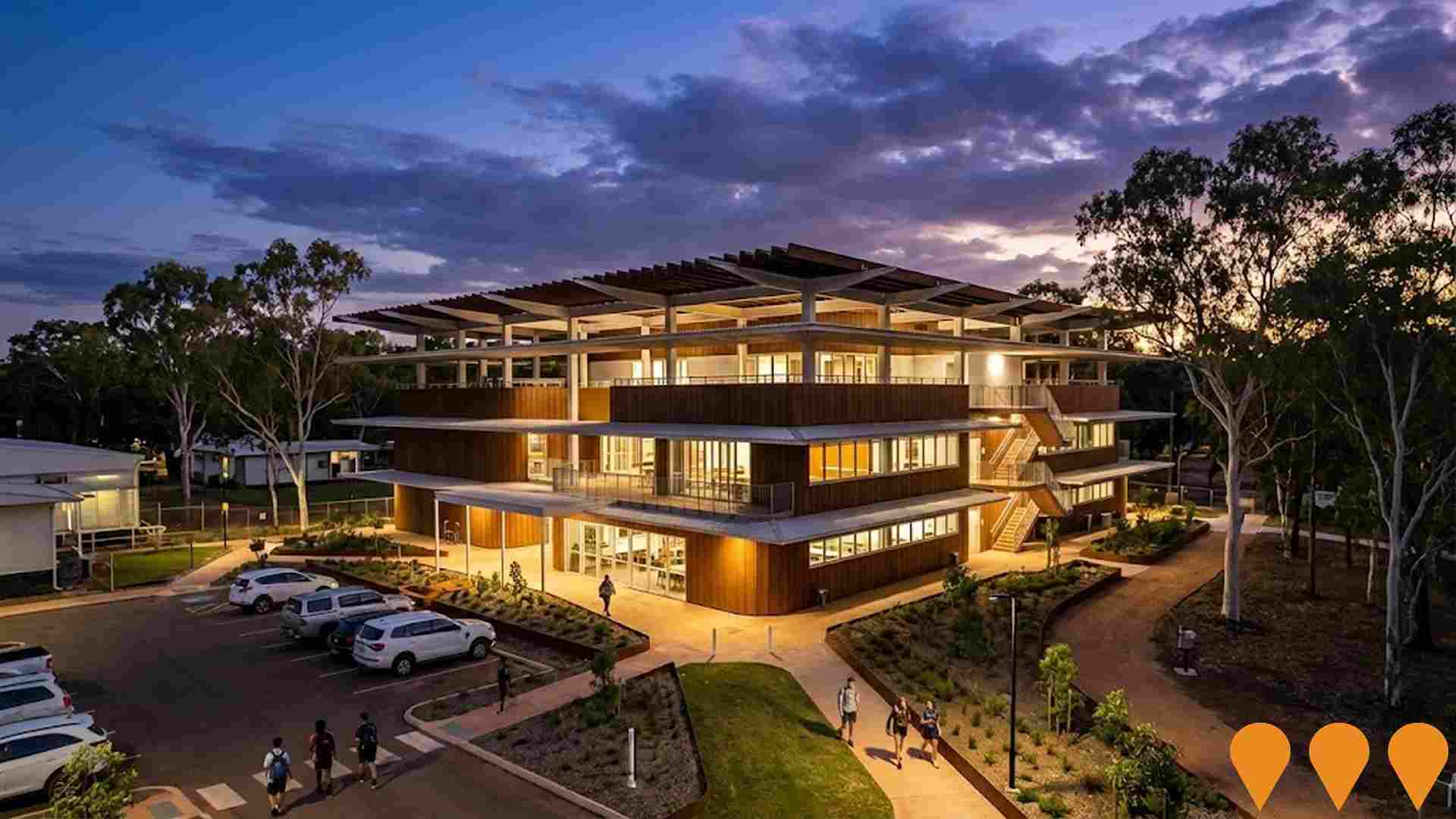
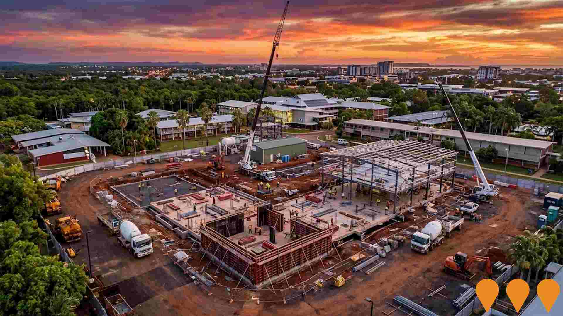
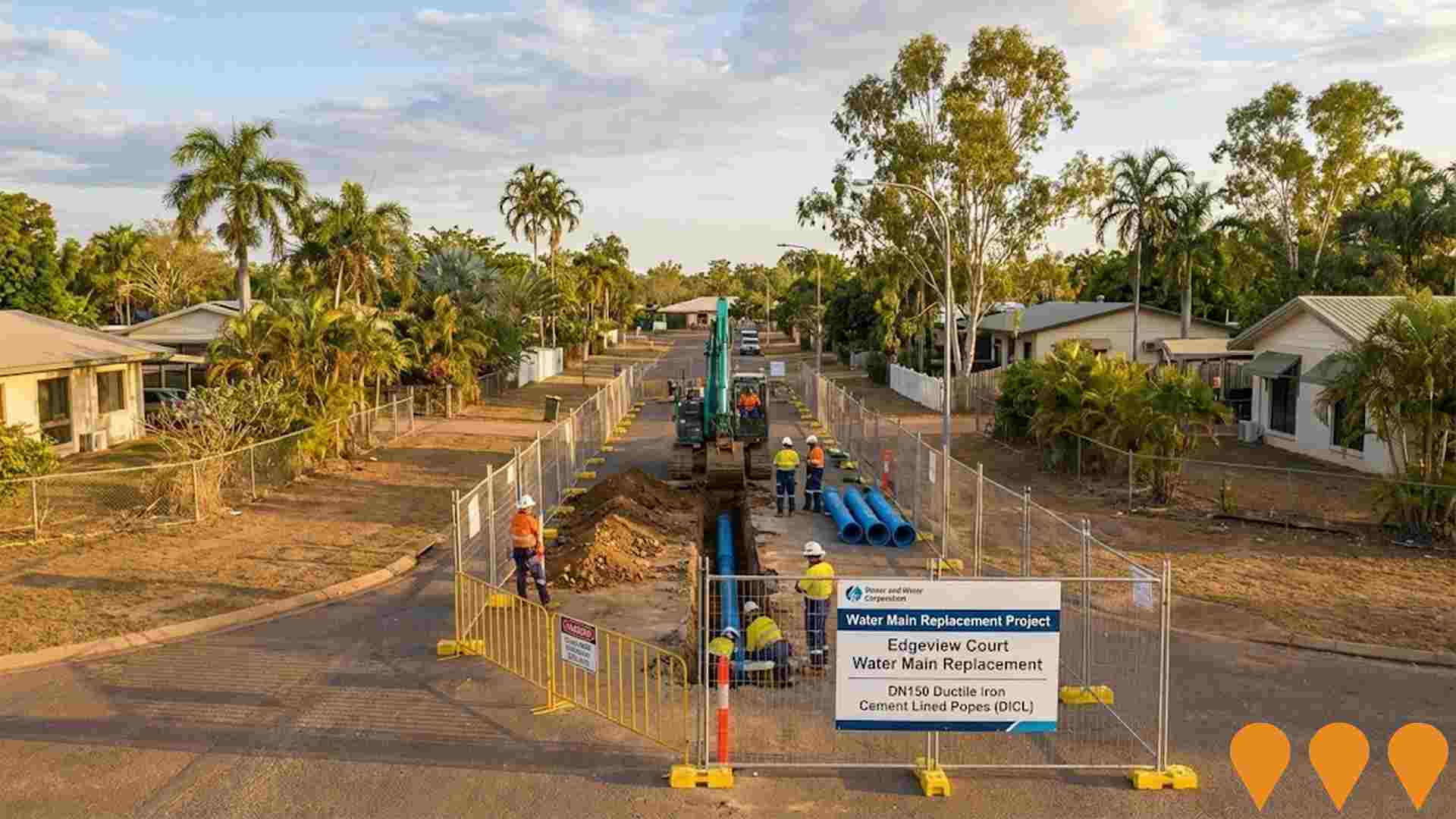
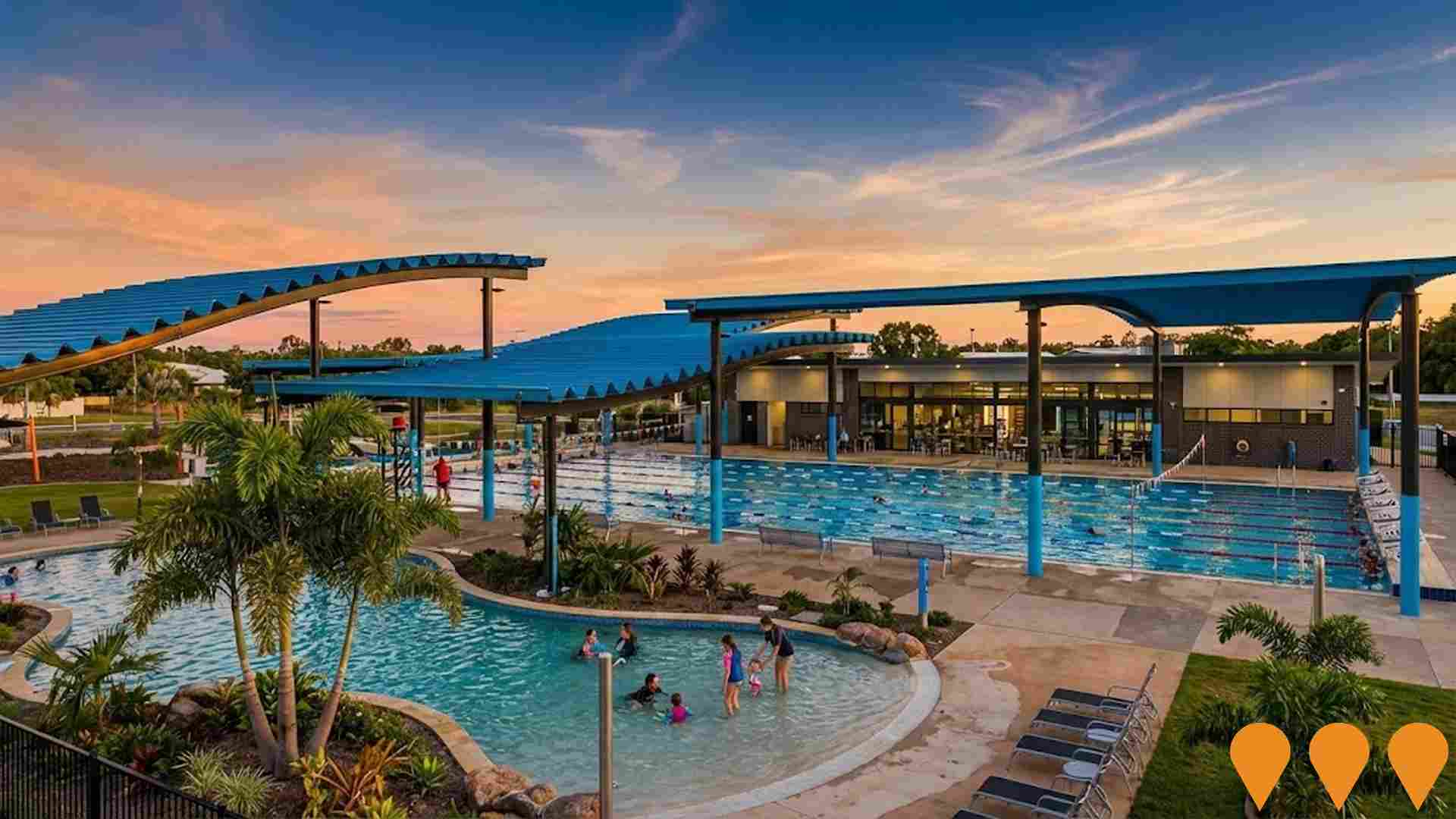
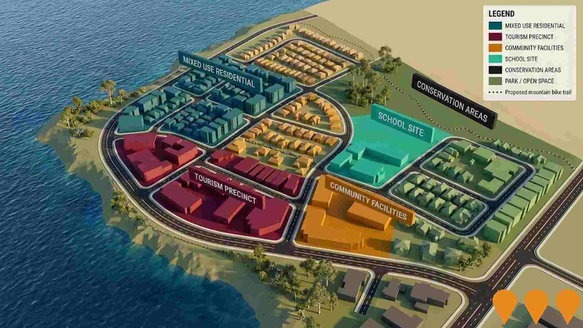
Local infrastructure upgrades, major capital projects, and planning changes represent significant influences on regional performance. AreaSearch has tracked a total of 5 key initiatives expected to influence the local area. Notable projects include the Casuarina Square Redevelopment, the CDU - Centre for Better Health Futures, the Royal Darwin Hospital Mental Health Inpatient Unit and CSSD Upgrade, and the CDU - Trades Training Centre, with details on the most significant works provided below.
Professional plan users can use the search below to filter and access additional projects.
INFRASTRUCTURE SEARCH
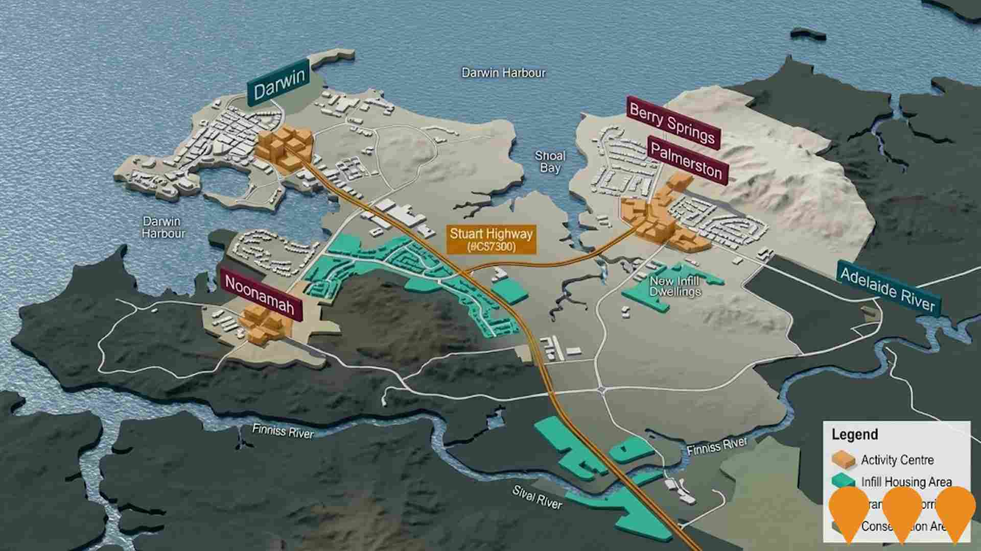
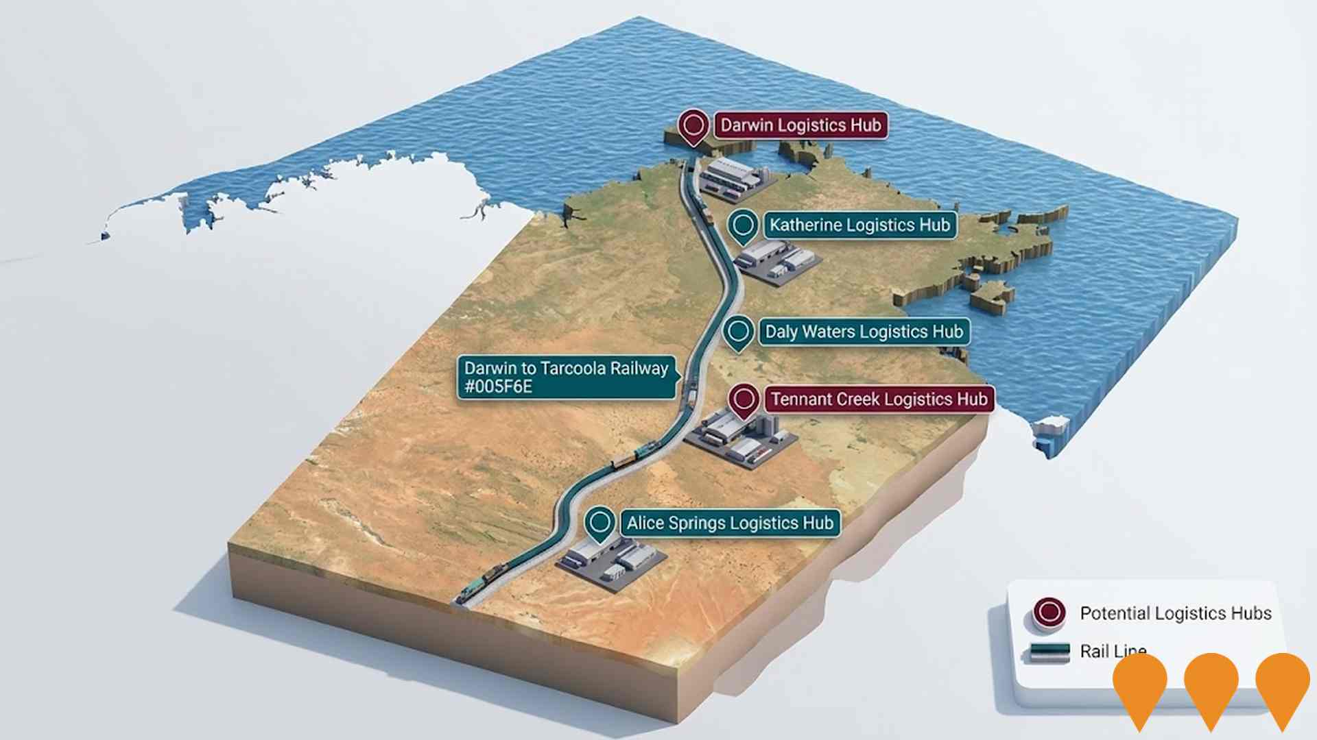
 Denotes AI-based impression for illustrative purposes only, not to be taken as definitive under any circumstances. Please follow links and conduct other investigations from the project's source for actual imagery. Developers and project owners wishing us to use original imagery please Contact Us and we will do so.
Frequently Asked Questions - Infrastructure
Royal Darwin Hospital Mental Health Inpatient Unit and CSSD Upgrade
Construction of a new three-storey mental health inpatient facility providing 18 acute inpatient beds and a 6-bed Stabilisation Assessment and Referral Area (SARA). The unit connects to the Emergency Department via an elevated enclosed walkway across Nightingale Road. Internal fitout is currently underway as of May 2026. The project also encompasses upgrades to the Central Sterile Services Department (CSSD) to meet modern reprocessing standards and clinical safety requirements.

Australia-Asia PowerLink (AAPowerLink)
SunCable's AAPowerLink is a large renewable generation, battery storage and HVDC transmission project in the Northern Territory. The project has major environmental approvals from the Northern Territory and Australian governments, conditional Singapore approval to import 1.75 GW from 2035, Indonesian subsea permits, a Singapore-Australia cross-border electricity trade framework and a 70-year Indigenous Land Use Agreement for Powell Creek. It is being staged to supply industrial customers in the Barkly region from the late 2020s, Darwin from the early 2030s, and Southeast Asia from the mid-2030s, with final investment decision targeted for 2027.

Desert Springs Octopus Renewable Energy Program
Majority Indigenous-owned developer pursuing a near-term pipeline of grid-connected solar and battery projects along the Darwin-Katherine Electricity System, with potential to expand into wind and green hydrogen. Partnership includes Octopus Australia with Larrakia Nation and Jawoyn Association to deliver utility-scale renewable energy and community benefit sharing.

Hudson Creek Power Station
12MW natural gas-fired power plant, NT's first privately owned grid-connected gas generation facility. Features 25% lower emissions than average NT gas generators. Part of dual project with Batchelor Solar Farm, creating 162 construction jobs and providing vital grid stability to Darwin-Katherine network.

Marine Industry Park
Marine and offshore industries servicing hub at East Arm, Darwin. Stage 1 planning approval is secured for a purpose-built industrial subdivision near the new Darwin Ship Lift, with expressions of interest open for serviced lots. Existing common-user facilities include an all-tide barge ramp (first point of entry) and a secure hardstand supporting storage and fabrication activities.

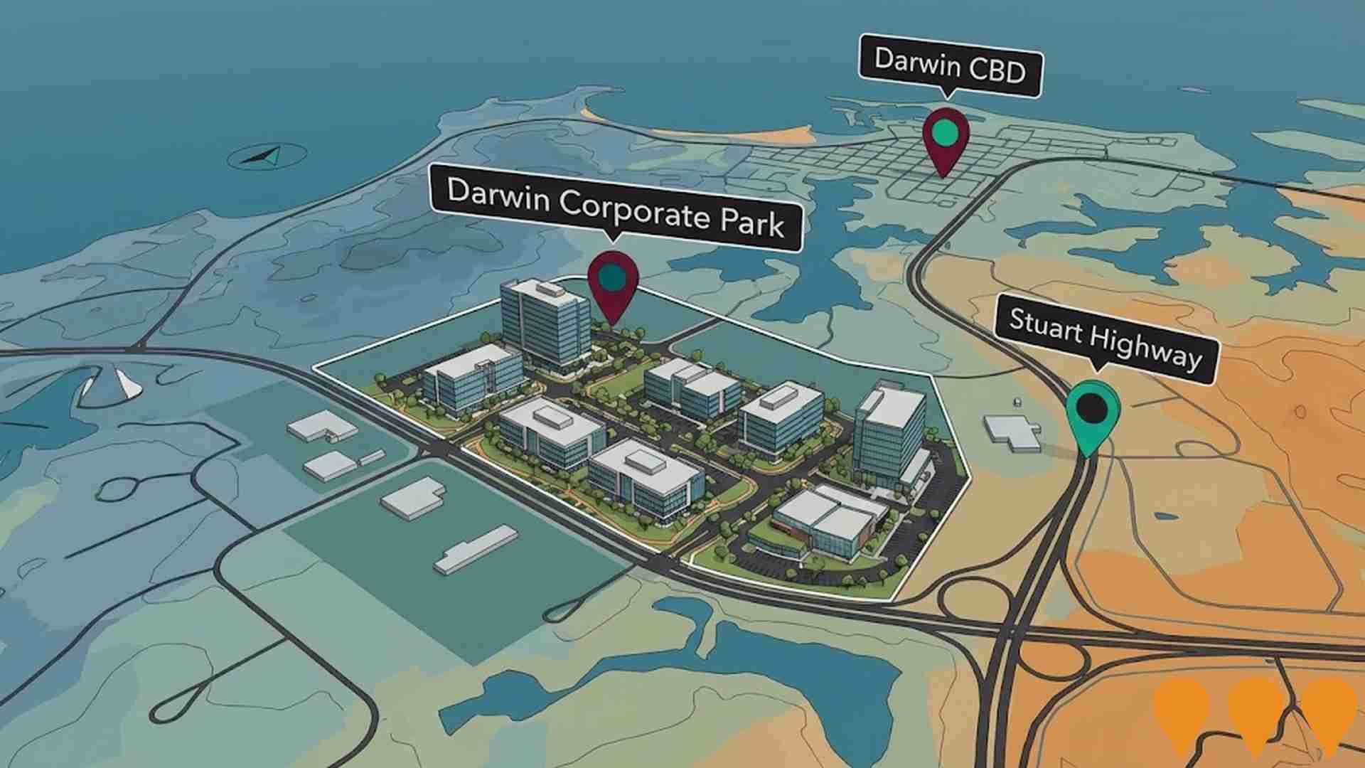
Darwin Corporate Park
Darwin Corporate Park is a premier business park for mixed use commercial office space located in what is now recognised as the centre of greater Darwin.
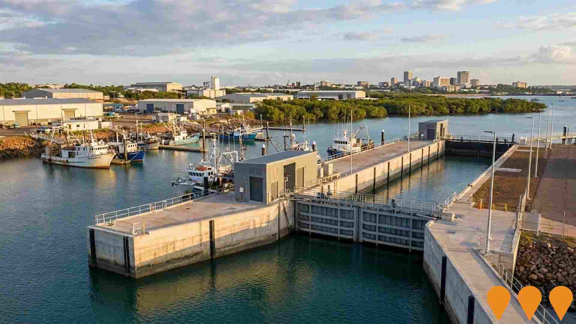
Frances Bay Mooring Basin lock upgrade
The Northern Territory Government has completed a $20 million upgrade of the Frances Bay Mooring Basin lock. The upgrade includes delivering new lock doors, modernising mechanical and electrical systems, and extending the life of the asset to ensure long-term sustainability, efficiency, and safety for industries such as seafood, pearling, and charter vessels.
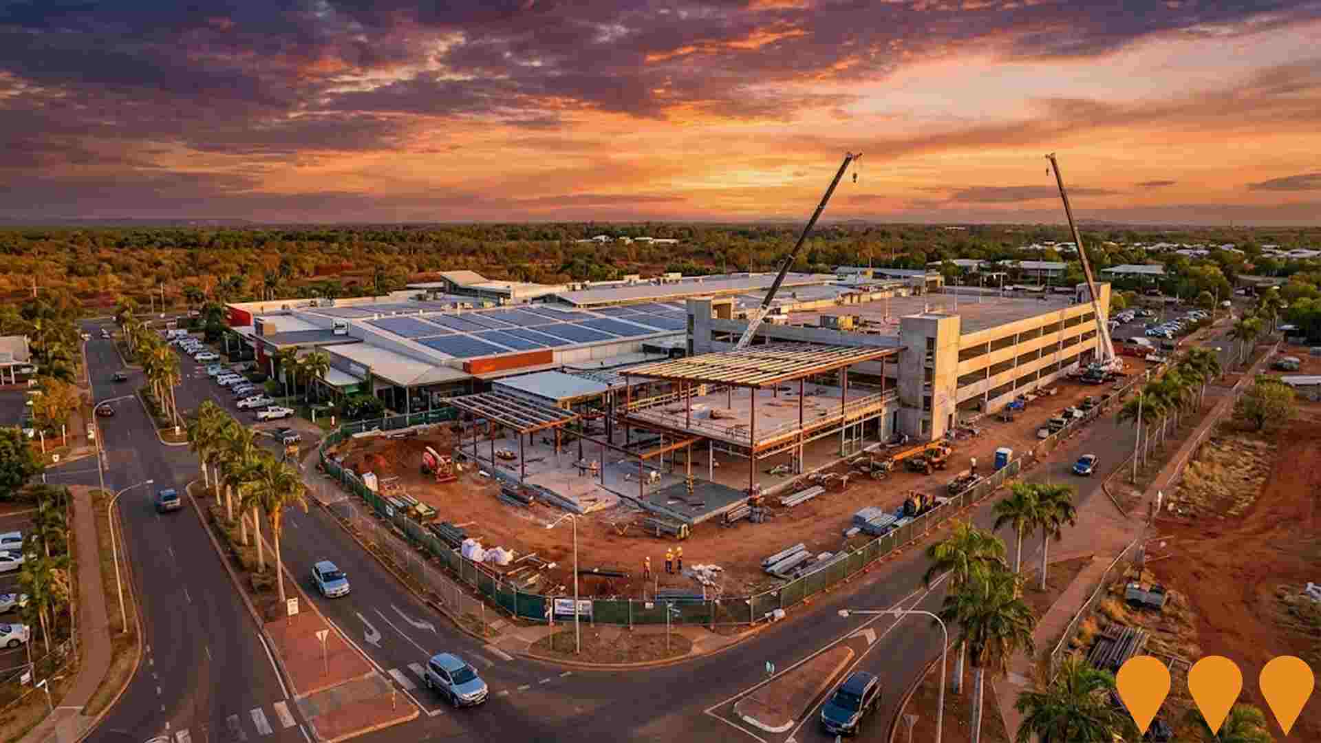
Casuarina Square Redevelopment
A major redevelopment of Casuarina Square, the Northern Territory's largest shopping centre. The project, estimated at $25 million, includes the addition of up to 20 new retailers, a new dining precinct, a three-storey carpark, and significant upgrades to existing facilities to improve safety and customer experience. The redevelopment also includes a long-term masterplan for an accommodation precinct with high-rise towers for student and short-term accommodation.
Employment
The employment environment in Nakara shows above-average strength when compared nationally
Nakara boasts a well educated population with strong representation in essential services, and the area has experienced relatively stable employment over the last year according to AreaSearch aggregated statistical area data. As of March 2026, 1,088 residents are employed and the local unemployment rate stands at 0.3% lower than Greater Darwin's rate of 3.5% while workforce participation sits somewhat below the standard at 69.9% compared to Greater Darwin's 72.7%. Census data indicates that only 6.9% of residents work from home, although the lingering effects of Covid-19 lockdowns should be taken into account.
The primary employment sectors for residents are health care & social assistance, education & training, and public administration & safety. There is a particularly high concentration of workers in health care & social assistance, which employs residents at 1.4 times the regional rate. Conversely, public administration & safety accounts for only 12.5% of the local workforce, which is lower than the 19.5% seen across Greater Darwin. Because the suburb of Nakara is mostly residential, local job availability appears constrained, as shown by comparing the number of employed residents to the local job count from the Census.
Based on AreaSearch modeling of SALM and ABS statistics for the broader region, local employment grew by 0.1% over the 12-month period, while the overall labor force expanded by 1.1%, resulting in a 1.0 percentage point increase in the unemployment rate. Over the same timeframe, Greater Darwin saw employment rise by 0.4%, the labor force grow by 0.8%, and unemployment increase by 0.3 percentage points. National employment forecasts released by Jobs and Skills Australia in May-25 offer additional context regarding future workforce trends. These projections, spanning five and ten years, have been aligned with local industries to model future employment shifts. While nationwide employment is predicted to grow by 6.6% over five years and 13.7% over ten years, the rates of change differ by sector. Applying these trends to the local industry mix suggests employment among residents could rise by 6.9% over five years and 14.3% over ten years, assuming a basic weighted extrapolation that does not account for localized population changes.
Frequently Asked Questions - Employment
Income
Income metrics indicate excellent economic conditions, with the area achieving higher performance than 75% of national locations assessed by AreaSearch
Tax statistics from the ATO for the postcode area, compiled by AreaSearch for the 2023 financial year, show a median taxpayer income of $59,662 and an average of $69,482. This is slightly above the national baseline, though it is lower than the Greater Darwin median of $66,956 and average of $77,199. Adjusting these figures for a 9.41% increase in the Wage Price Index since the 2023 financial year yields estimated values of approximately $65,276 for the median and $76,020 for the average as of March 2026. The 2021 Census shows that household, family, and individual incomes are positioned high nationally, falling within the 78th to 88th percentiles. The largest income bracket contains 32.4% of residents (637 people) earning between $1,500 - 2,999, mirroring the wider region where 36.7% fall into this bracket. A significant proportion of high-income earners (39.4% receiving more than $3,000 weekly) indicates substantial financial capacity in the area. Once housing expenses are paid, households retain 87.5% of their income, showing solid spending power, and the area is positioned in the 7th decile of the SEIFA income index.
Frequently Asked Questions - Income
Housing
Nakara is characterized by a predominantly suburban housing profile, with above-average rates of outright home ownership
Data from the most recent Census shows that the housing mix in the suburb of Nakara consists of 91.7% separate houses and 8.3% alternative dwellings like semi-detached homes or apartments, differing from the Darwin metro distribution of 63.5% houses and 36.5% other properties. Homeownership rates are notably higher than the metro average at 30.8%, while the remaining properties are split between those with a mortgage (32.9%) and rented properties (36.3%). The median monthly mortgage payment was below the metro average at $2,000, whereas the median weekly rent was recorded at $420, compared to $2,100 and $385 respectively across Darwin metro. Looking nationally, mortgage commitments are higher than the Australian average of $1,863, and rental costs are also significantly higher than the national median of $375.
Frequently Asked Questions - Housing
Household Composition
Nakara features high concentrations of group households and family households, with a higher-than-average median household size
Families make up 78.1% of all local households, consisting of couples with offspring at 39.2%, couples without children at 25.3%, and single-parent homes at 11.3%. The remaining 21.9% are non-family households, which include single-person households at 15.5% and shared group households at 6.4%. The median household occupancy stands at 3.0 individuals, which is higher than the Greater Darwin median of 2.6.
Frequently Asked Questions - Households
Local Schools & Education
Nakara shows strong educational performance, ranking in the upper quartile nationally when assessed across multiple qualification and achievement indicators
Educational profiles in the suburb of Nakara are significantly higher than regional and national averages, with 41.0% of residents aged 15+ holding a university degree, compared to 27.3% across NT and 30.4% nationwide. This educational mix positions the suburb well for professional opportunities. Undergraduates represent 24.1% of the cohort, followed by postgraduate degree holders at 12.9% and graduate diplomas at 4.0%. Vocational qualifications are also well represented, with 27.5% of residents aged 15+ holding trade credentials, split between advanced diplomas (8.5%) and certificates (19.0%).
Engagement in learning is high, with 35.5% of the population enrolled in an educational program. This includes 11.4% attending primary school, 9.5% in high school, and 7.9% enrolled in higher education.
Frequently Asked Questions - Education
Schools Detail
Nearby Services & Amenities
Transport
Transport servicing is good compared to other areas nationally based on assessment of service frequency, route connectivity and accessibility
Transport analysis shows 7 active public transport stops within the suburb of Nakara, consisting of bus services. These locations are serviced by 21 separate routes, which provide a total of 1,493 passenger trips each week. Access to transport is rated as excellent, with households averaging 173 meters from their nearest stop. Because the area is mostly residential, many workers travel outside the suburb for employment, with private cars remaining the primary mode of travel at 80%, followed by bus transit at 7% and walking at 5%. Households have an average of 1.6 vehicles. A relatively low 6.9% of residents worked from home, according to 2021 Census data, which may reflect the impact of pandemic restrictions.
Services run at an average frequency of 213 daily trips across all routes, which translates to approximately 213 trips per week for each individual stop.
Frequently Asked Questions - Transport
Transport Stops Detail
Health
Nakara's residents are extremely healthy with very low prevalence of common health conditions across all age groups
Assessments of local health data indicate favorable outcomes throughout the suburb of Nakara, with AreaSearch findings showing low rates of chronic illness and mortality across age brackets, alongside a private health insurance rate of approximately 54% of the population (~1,067 people). This compares to a private coverage rate of 57.8% across Greater Darwin.
The most frequent health diagnoses among local residents are arthritis and mental health conditions, which affect 6.3% and 4.9% of the population respectively. Meanwhile, 76.8% of residents reported having no ongoing medical conditions, compared to 77.1% in Greater Darwin. Residents aged 65 and older represent 15.1% of the population (297 people), which is higher than the 11.0% recorded in Greater Darwin. Senior citizens in the area show strong health profiles, with national comparative rankings that exceed those of the overall local population.
Frequently Asked Questions - Health
Cultural Diversity
Nakara is among the most culturally diverse areas in the country based on AreaSearch assessment of a range of language and cultural background related metrics
The suburb of Nakara exhibits high levels of multiculturalism, with 43.5% of residents speaking a non-English language at home and 46.2% born outside of Australia. Christianity is the largest religious affiliation, representing 45.5% of the community. However, the most distinct religious concentration is in Buddhism, which accounts for 5.4% of residents compared to 3.3% across Greater Darwin.
Regarding family backgrounds and parental birthplaces, the largest ancestral groups in the suburb of Nakara are English at 18.2%, Australian at 17.7%, and Other at 17.4%. There are also distinct concentrations of other ancestral backgrounds, with Filipino residents representing 3.8% of the population (matching the 3.8% regional average), Greek ancestry at 4.3% (compared to 2.3% regionally), and Sri Lankan ancestry at 0.9% (compared to 0.3% regionally).
Frequently Asked Questions - Diversity
Age
Nakara's population is slightly younger than the national pattern
The median age in the suburb of Nakara is 35 years, which is close to the Greater Darwin median of 34 and slightly younger than the national average of 38. Compared to the Greater Darwin region, there is a higher proportion of residents in the 75 - 84 age bracket (4.8%) but a lower share of young adults aged 15 - 24 (10.3%). Since the 2021 Census, the 25 to 34 age group has expanded from 16.5% to 19.3% of the population, whereas the 5 to 14 cohort decreased from 15.3% to 13.3%, and the 45 to 54 group fell from 14.0% to 12.0%. Demographic models indicate the age structure will change by 2041, with the 45 to 54 cohort projected to grow the fastest at 34%, adding 79 residents to total 316, while the 0 to 4 group is forecast to grow by a modest 7%, adding 6 children.