Chart Color Schemes
This analysis uses Suburbs and Localities (SAL) boundaries, which can materially differ from Statistical Areas (SA2) even when sharing the same name.
SAL boundaries are defined by Australia Post and the Australian Bureau of Statistics to represent commonly-known suburb names used in postal addresses.
Statistical Areas (SA2) are designed for census data collection and may combine multiple suburbs or use different geographic boundaries. For comprehensive analysis, consider reviewing both boundary types if available.
est. as @ -- *
2021 Census | -- people







Curious about local property values? Filter the chart to assess the volume and appreciation (including resales) trends and regional comparisons, or scroll to the map below view this information at an individual property level.
Find a Recent Sale

Sales Detail
Christmas Island has an estimated 1,889 residents, up from 1,692 at the 2021 Census — a change of 197 people, or 11.6%. Growth has averaged 1.4% a year over five years, faster than 77% of areas nationally. Overseas migration accounts for 87.0% of that increase. Density is about 14 people per square kilometre. Population is estimated from ABS Estimated Resident Population releases and GNAF address data, re-based from the 2021 Census and updated annually.
Detail
Analysis of the ABS population updates and newly verified addresses by AreaSearch indicates that the population of the suburb of Christmas Island is approximately 1,889 as of May 2026. This represents a growth of 197 people (11.6%) from the 2021 Census, which documented a population of 1,692 people. This shift is derived from the resident population of 1,889, calculated by AreaSearch using the most recent ABS ERP statistics from June 2025 alongside address verification processes carried out since the Census. Such a population size translates to a density of 13.9 persons per square kilometer, suggesting a spacious environment for residents.
With an 11.6% expansion rate since the 2021 census, the suburb of Christmas Island outpaced both the state average (4.7%) and the broader SA4 region, positioning it as a regional growth leader. The primary driver of this population growth was overseas migration, which accounted for approximately 87.0% of the overall population increases in recent times. AreaSearch integrates projections from ABS and Geoscience Australia with state government statistics when available. In locations lacking tailored projections, historical expansion trends are utilized to project future population changes. Looking at future demographic trends, projections suggest a contraction in the overall population, with the suburb of Christmas Island projected to add no new residents by 2041 under this framework.
Frequently Asked Questions - Population
Detail
Christmas Island has recorded no residential development approvals over the preceding five years. This lack of new building activity indicates a mature suburb with scarce prospects for fresh construction. Such conditions can help maintain existing real estate values, although prospective buyers should expect a relatively quiet market characterized by a low volume of sales.
Frequently Asked Questions - Development
Development applications around Christmas Island
Loading development applications…
| Lodged | Address | Description | Type | Distance | Status |
|---|
SOURCE: Planning portals and council registers, compiled by AreaSearch. Distance & bearing measured from the suburb midpoint.
AreaSearch tracks 45 current infrastructure and development projects close to Christmas Island, worth an estimated $9.89 billion. 18 are already under construction and 17 are due for completion within three years. The pipeline spans communities, precincts & urban renewal, ports, marinas, fisheries & aquaculture and sports & recreation. Records are compiled from Infrastructure Australia, state agencies, council planning portals and public announcements, reviewed and updated daily, then ranked by proximity, construction stage, completion horizon and project scale.
Detail
Changes to local infrastructure, major construction projects, and planning developments can significantly impact local area performance. The latest evaluation of infrastructure projects by AreaSearch indicates that there is currently limited major project activity taking place in the immediate vicinity of Christmas Island.
Professional plan users can use the search below to filter and access additional projects.
INFRASTRUCTURE SEARCH
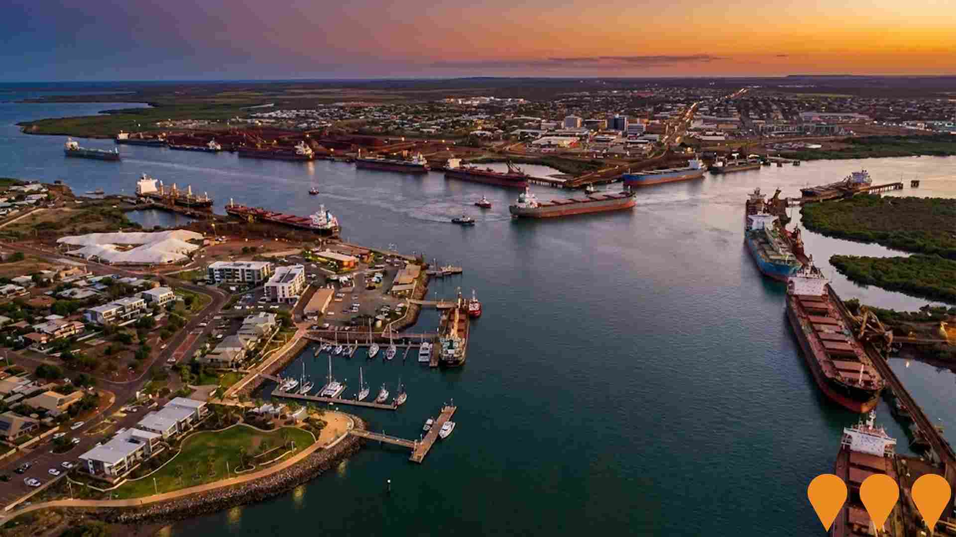
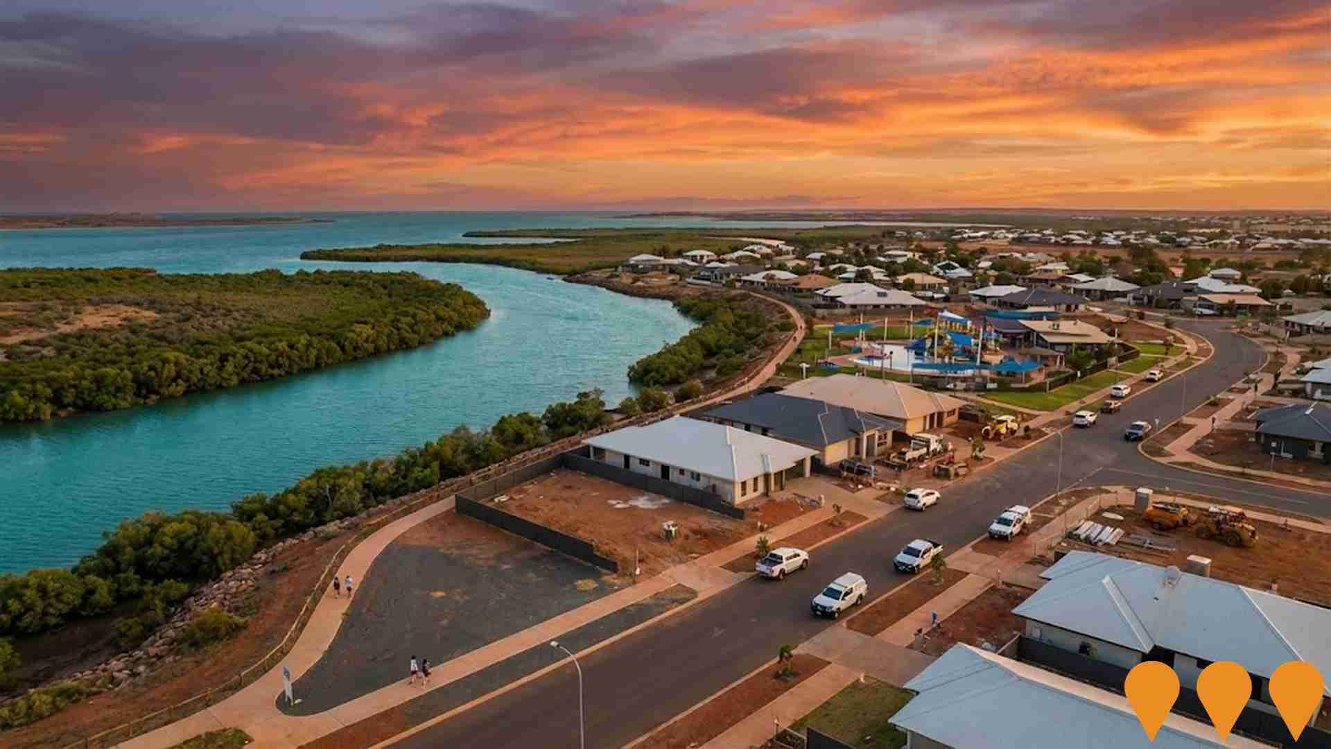
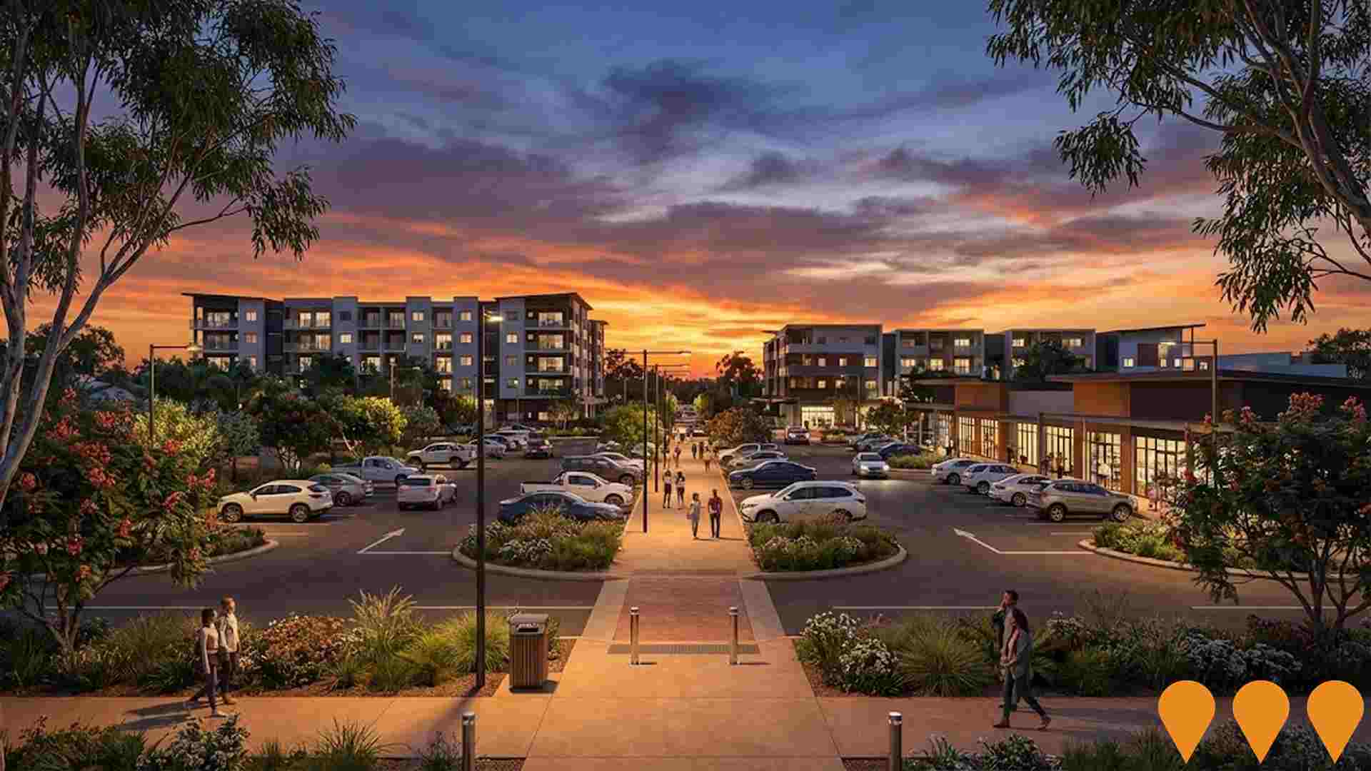
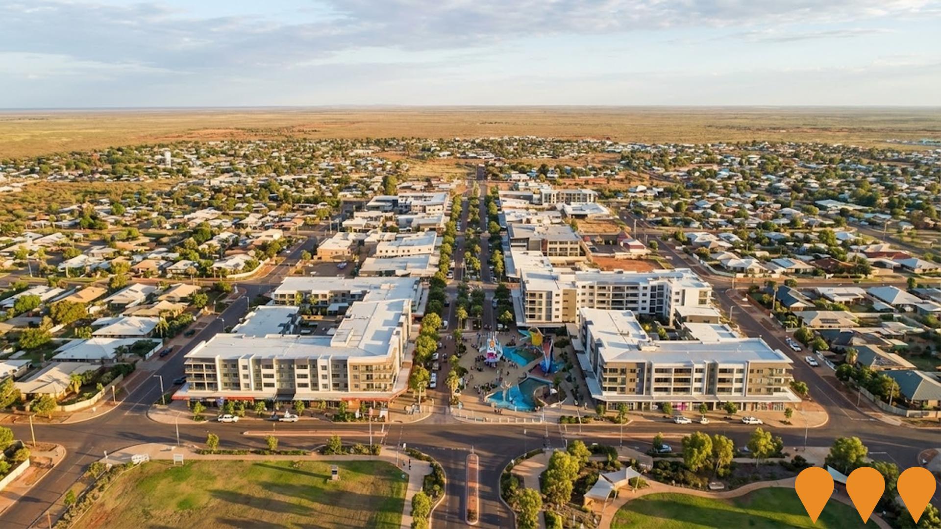
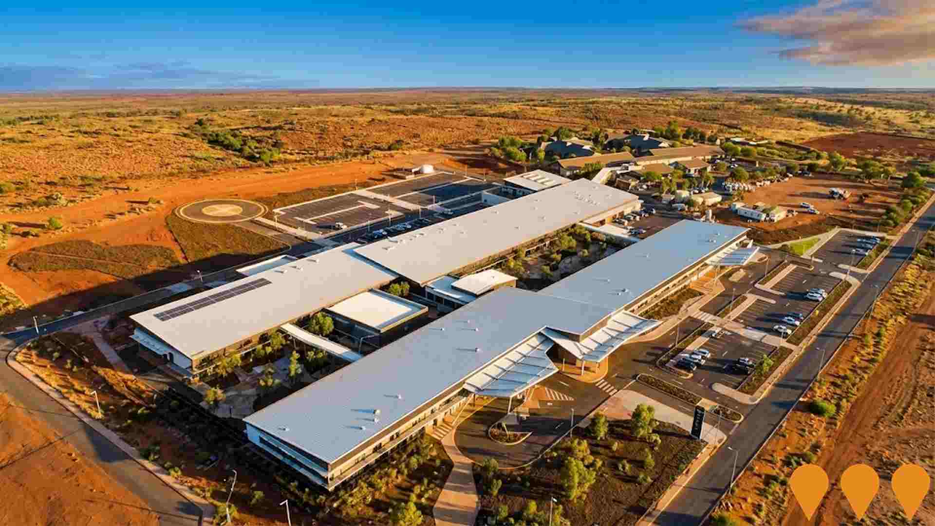
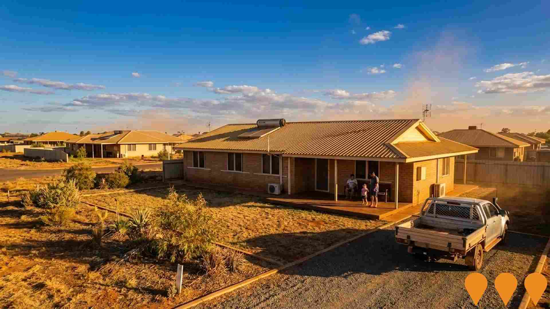
 Denotes AI-based impression for illustrative purposes only, not to be taken as definitive under any circumstances. Please follow links and conduct other investigations from the project's source for actual imagery. Developers and project owners wishing us to use original imagery please Contact Us and we will do so.
Frequently Asked Questions - Infrastructure
Sundrift Estate - Exmouth Marina Land Release
Sundrift Estate is the final stage development at Exmouth Marina precinct, delivering up to 158 residential lots plus 15 commercial lots across 18 hectares of State-owned land. The $70 million project includes public open space and commercial sites at the marina's southern end. Stage 1 comprises 112 residential lots with civil works commencing late 2025, with the first land release scheduled for October-November 2025. The development includes potential fast-tracking of house and land packages for local council and service workers to address regional housing shortages.
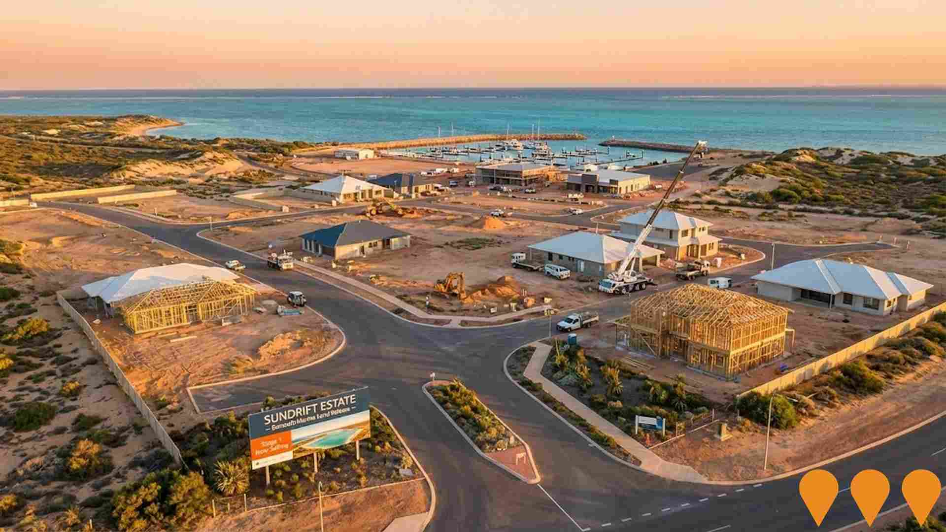
Sundrift Estate (Exmouth Marina)
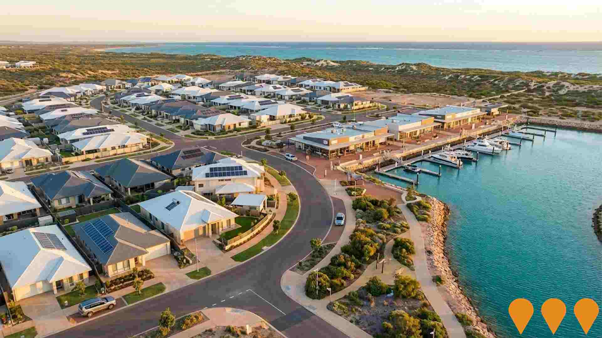
Sundrift Estate is a staged masterplanned residential and commercial community on the final 17.9-hectare super lot (Lot 9510) of the Exmouth Marina precinct in Western Australia. Owned and developed by Fowler Group, with Celsius Property Group as project manager, the estate will deliver up to 158 residential lots plus public open space and commercial sites at the southern end of the marina. Subdivision approval was granted by the Western Australian Planning Commission in August 2025.Stage 1A and 1B have sold out or are nearing sell-out, with Stage 1C (17 lots) released in mid-2026. Bulk earthworks, retaining walls, and sewer, water and drainage installation are well progressed, with Stage 1 civil works on track for completion in late 2026 and titles expected in early 2027. Stage 2, introducing further residential and commercial opportunities, is in planning and design and is expected to start construction in 2027, subject to demand.
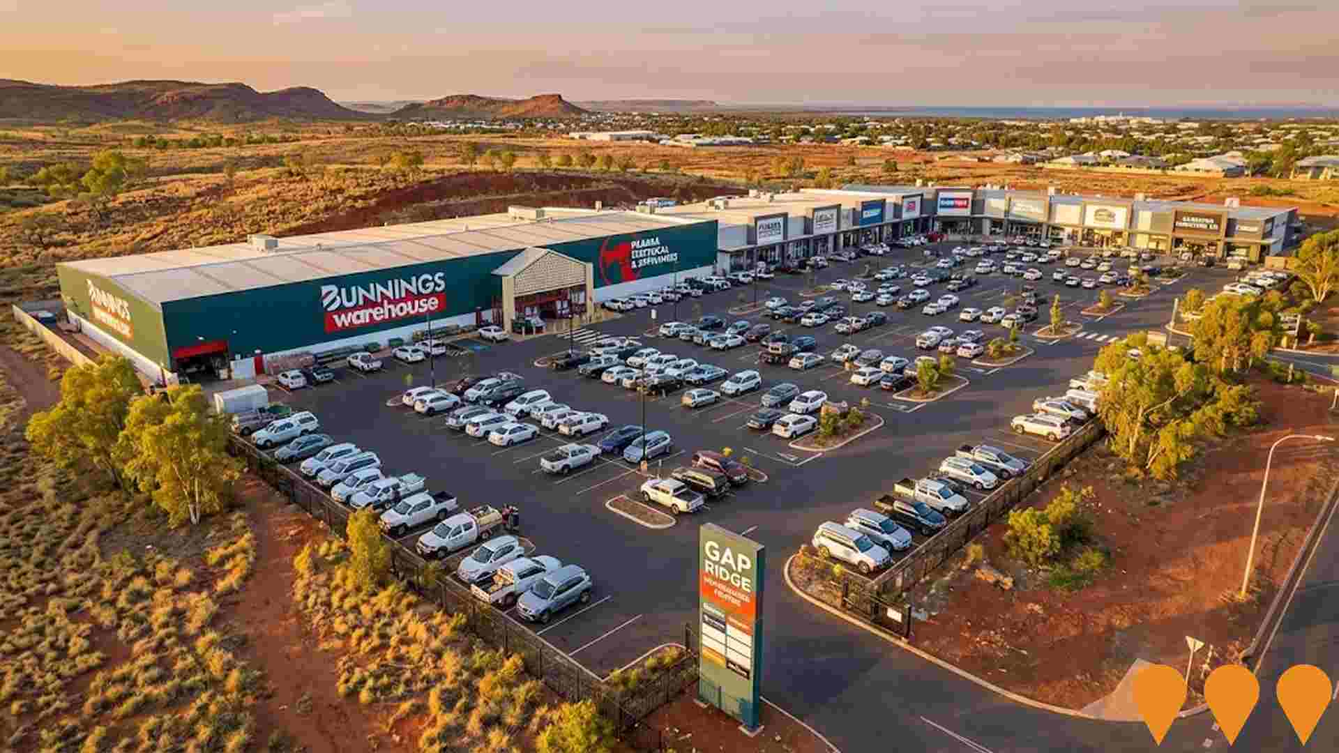
Gap Ridge Homemaker Centre
Karratha's first dedicated homemaker centre, featuring a 7,600 square meter Bunnings Warehouse and nine large format retail tenancies. As the only Bunnings in the Pilbara region, it services local demand for DIY, hardware, furniture, electrical appliances, and white goods. The project is located adjacent to residential developments and the Gap Ridge Industrial Estate, with the retail trade market in the area expected to reach 249 million AUD by 2026. Construction officially commenced on April 1, 2026.
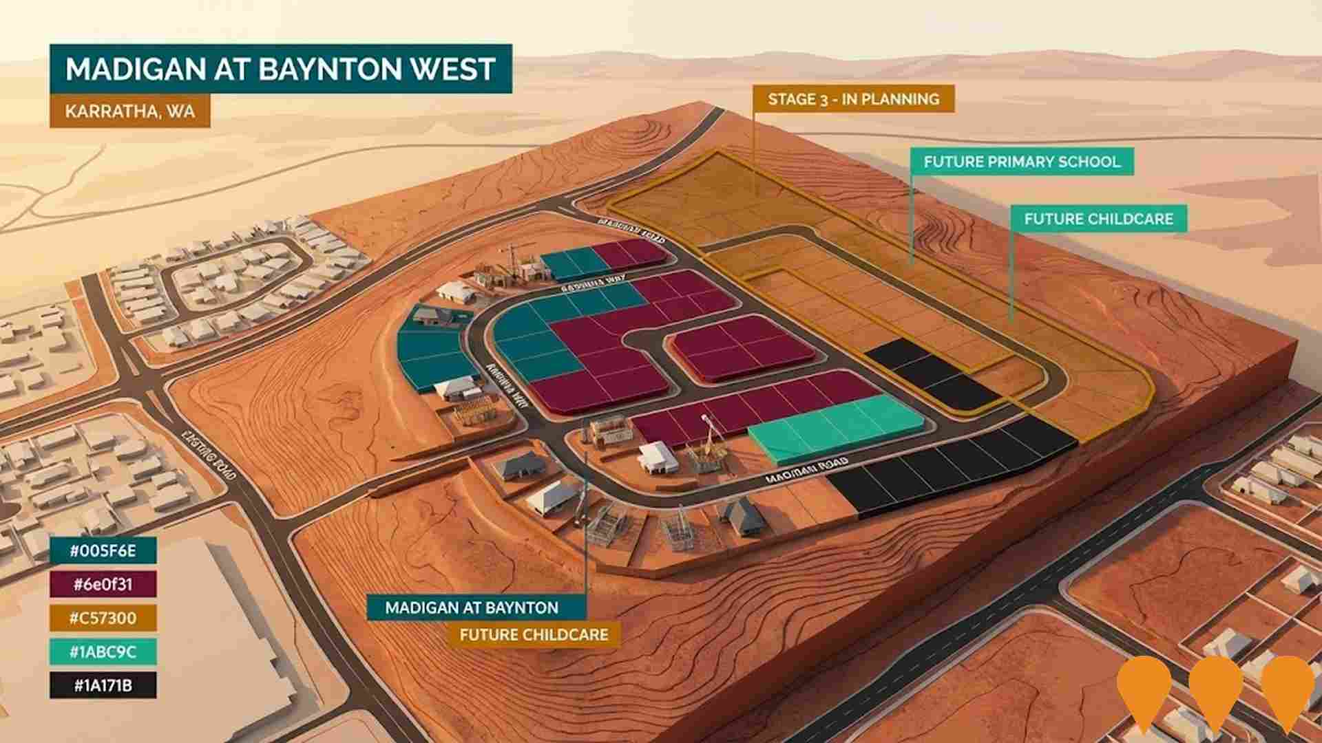
Madigan at Baynton West
Madigan at Baynton West is a major residential development in Karratha designed to provide affordable living and essential worker housing. The estate is a key component of the Karratha Urea Project's workforce strategy, with developer Perdaman constructing 133 homes to accommodate its permanent operational staff. As of early 2026, over 30 homes have been delivered with another 30 under active construction. The project features climate-responsive design, a 1.38-hectare landscaped public open space, and proximity to Baynton West Primary School.Future stages include plans for approximately 250 additional lots, a childcare center, and a new primary school to support long-term regional growth.
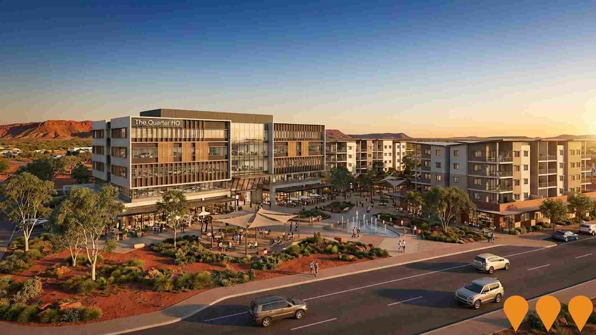
The Quarter Karratha
Mixed-use civic, retail and commercial precinct anchored by The Quarter HQ office/retail building, a city square and 46 service worker apartments, delivered as part of the Karratha city centre revitalisation.
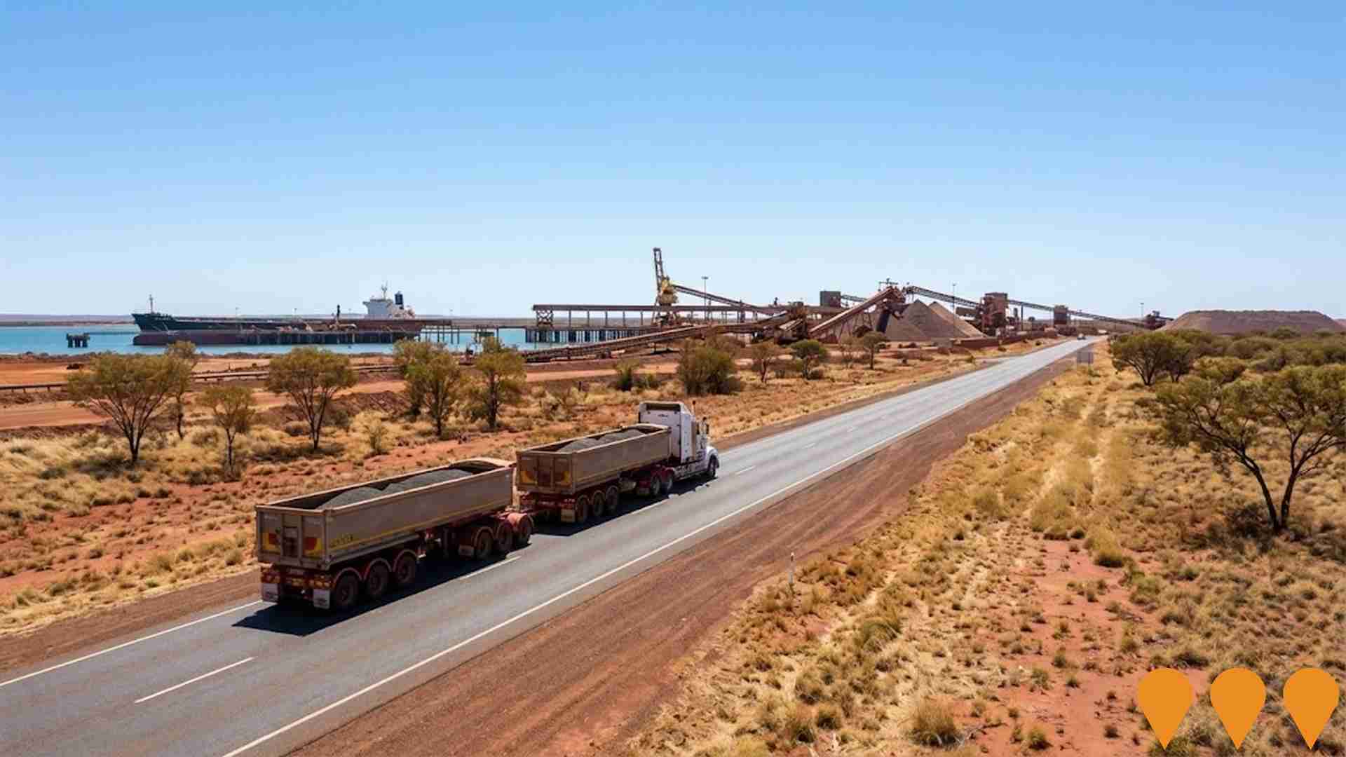
Utah Road Pavement Rehabilitation Project
Multi-stage rehabilitation of approximately 8.1 km of Utah Road, a critical heavy freight corridor linking Great Northern Highway with the Utah Bulk Handling Facility and providing access to BHP Finucane Island and FMG Anderson Point. The $32.2 million program has been completed, delivering stronger pavement, improved safety and increased reliability for more than 500 heavy road trains using the route daily. The completed works are now being complemented by the separate Utah Ring Road Reconstruction project.
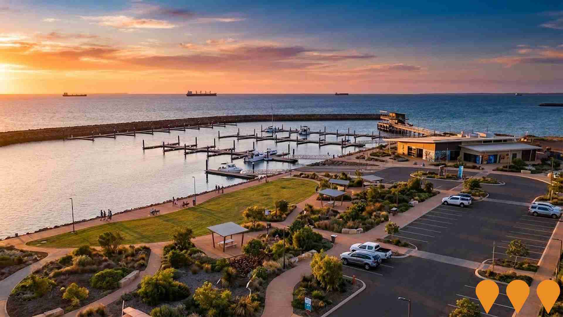
Port Hedland Spoilbank Marina
The Port Hedland Spoilbank Marina (also known as Pirra Pirra Marina in Kariyarra language) officially opened in November 2024, creating a transformational waterfront amenity for the community and visitors. The marina features a four-lane recreational boat ramp, 22 cyclone-rated floating boat pens, state-of-the-art fish cleaning facilities, a two-storey fishing jetty, and recreation and event space with public amenities. The project includes an art walk highlighting Aboriginal culture with artworks designed by Kariyarra artists, and provides safer access to deep water for recreational boaters with direct ocean access separate from busy shipping lanes.
Port Hedland Boulevard Shopping Centre
Established neighbourhood shopping centre anchored by Woolworths, Harvey Norman and BWS, with supporting specialties, a Woolworths service station and over 220 car parks. Serves as a key retail hub for Port Hedland.

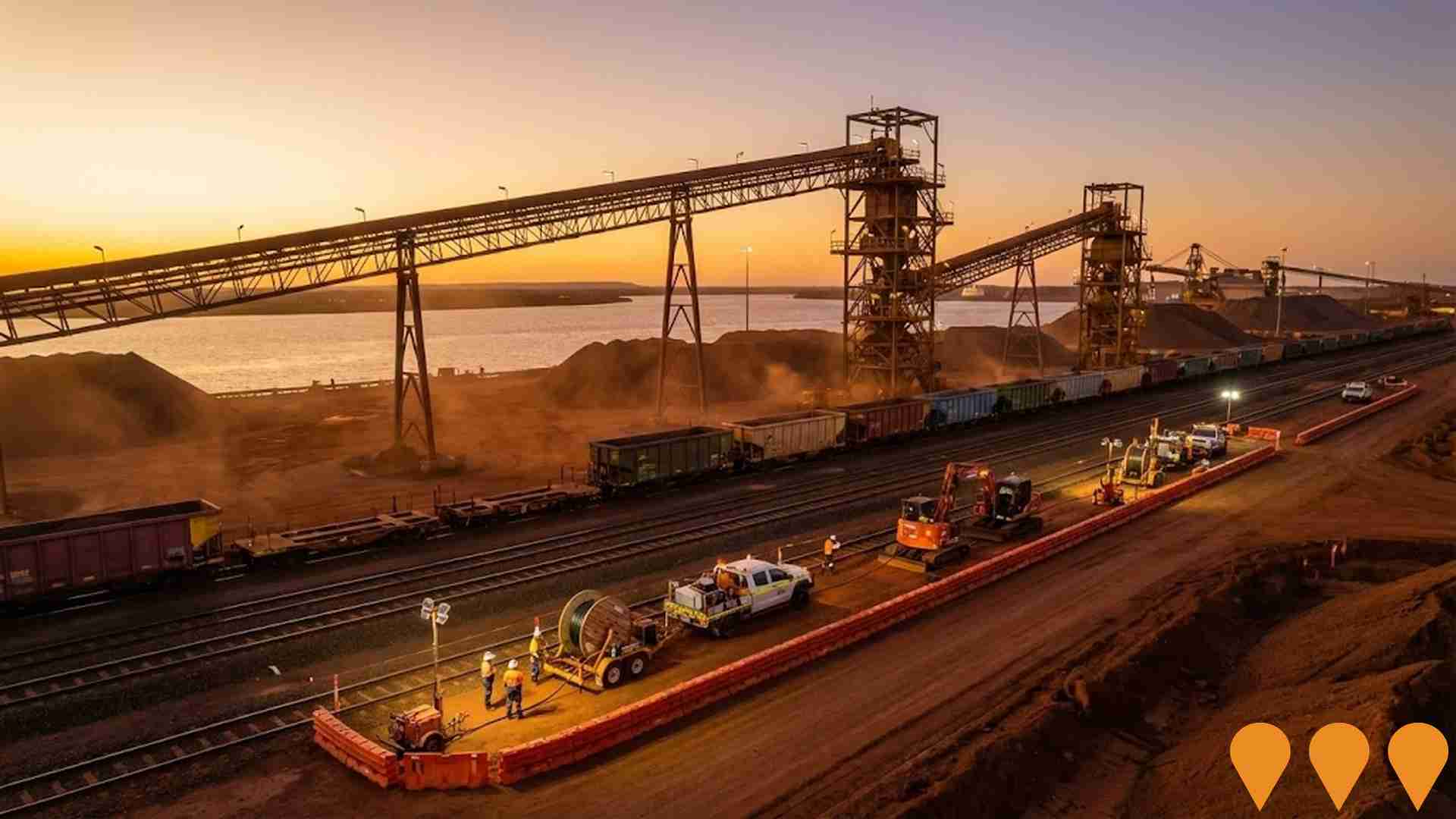
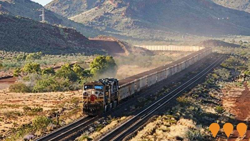
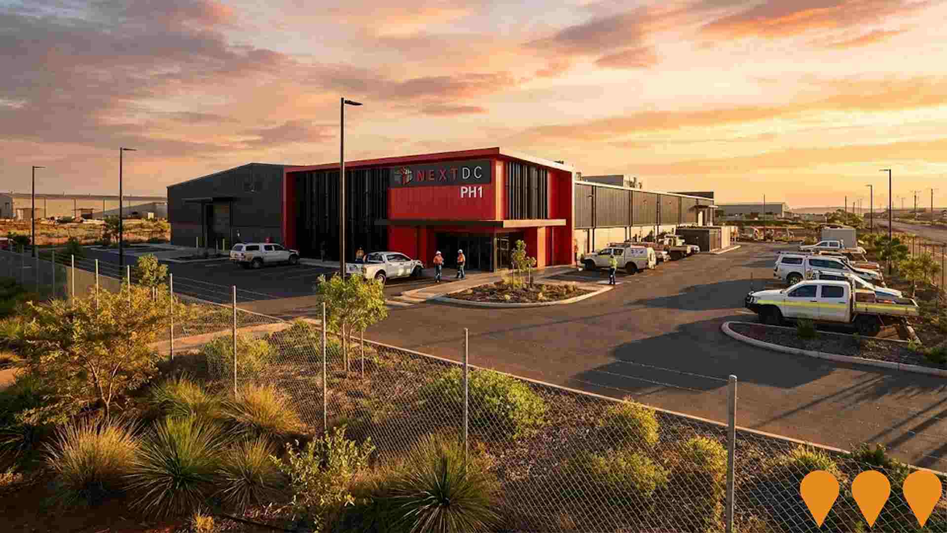
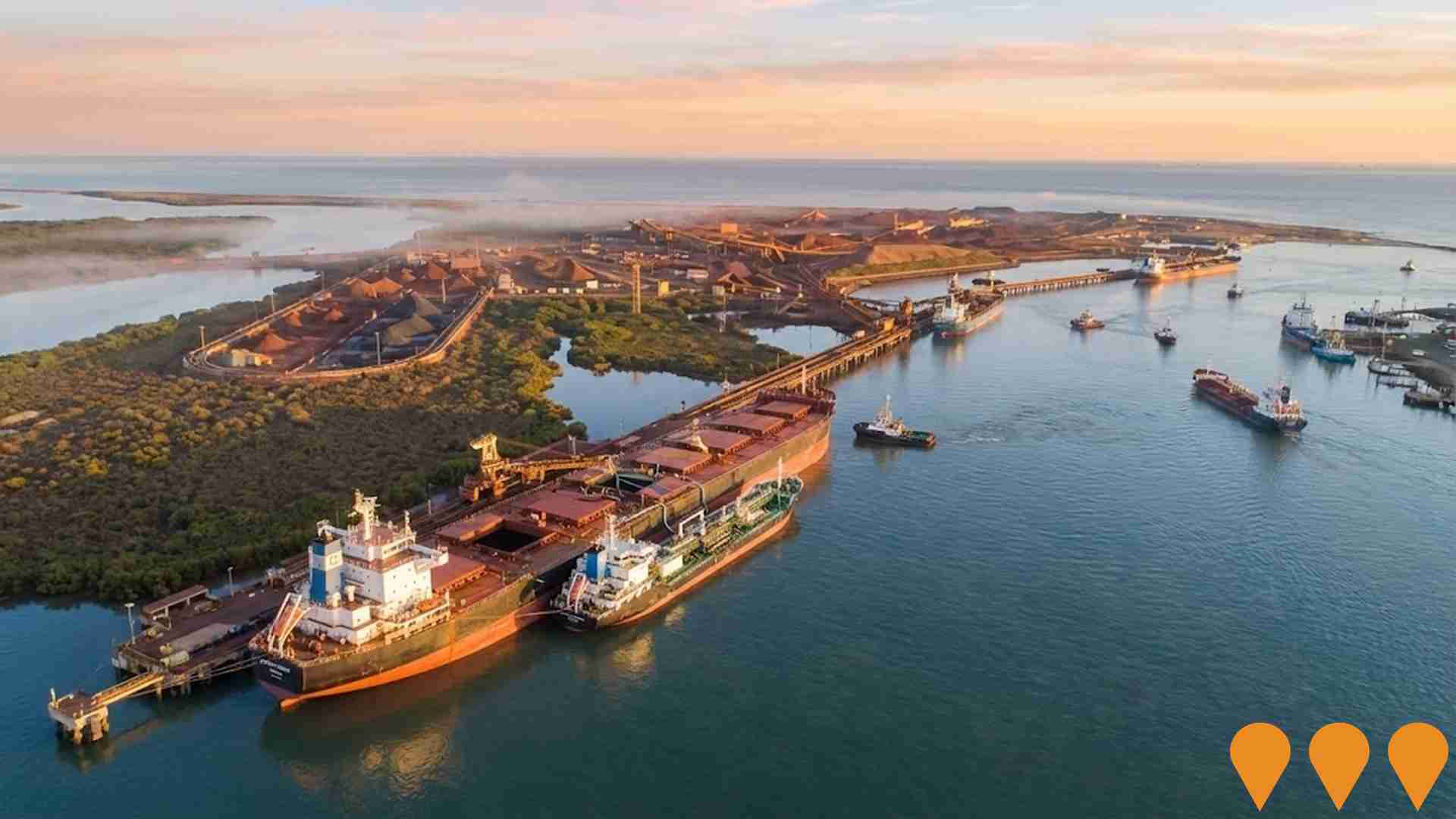
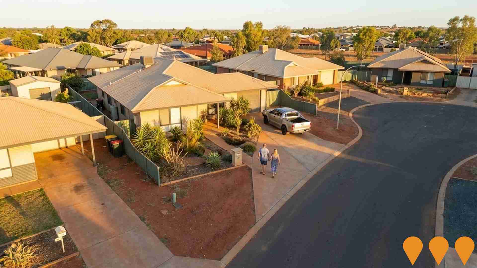
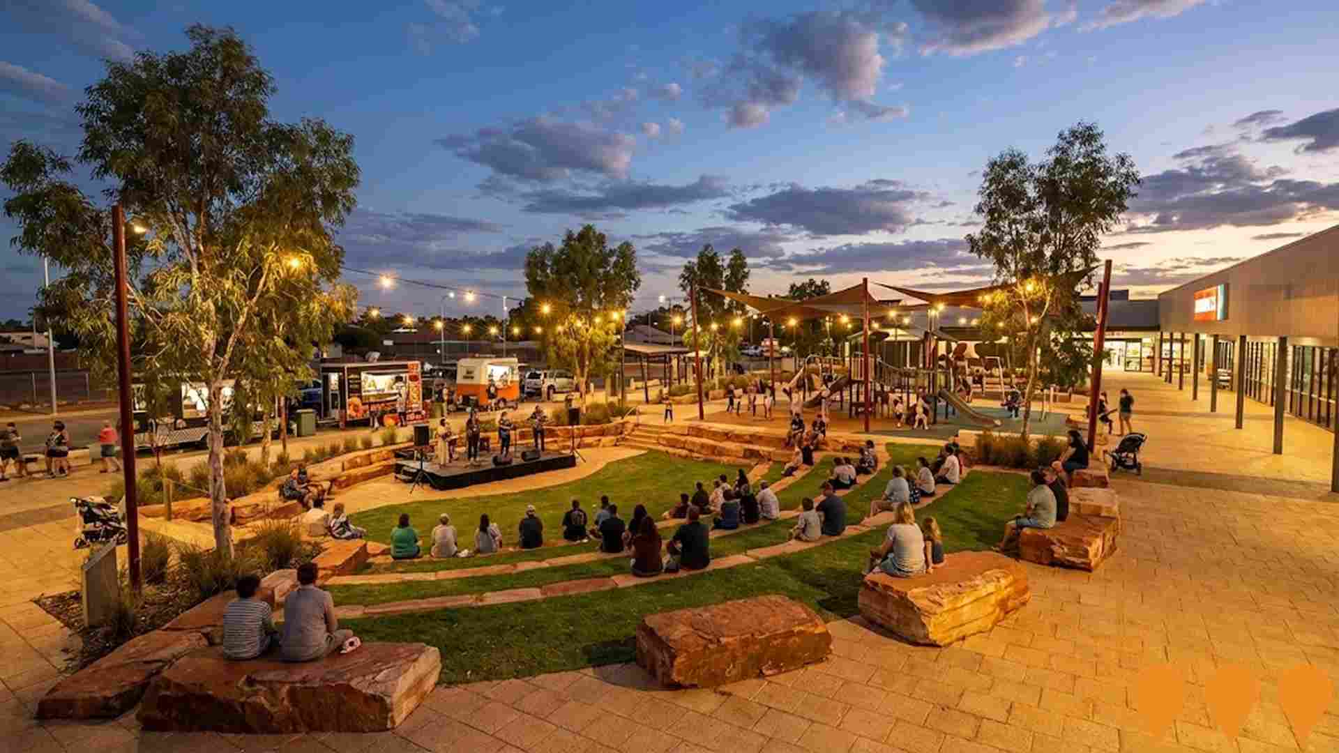

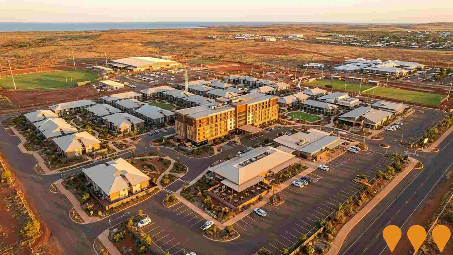
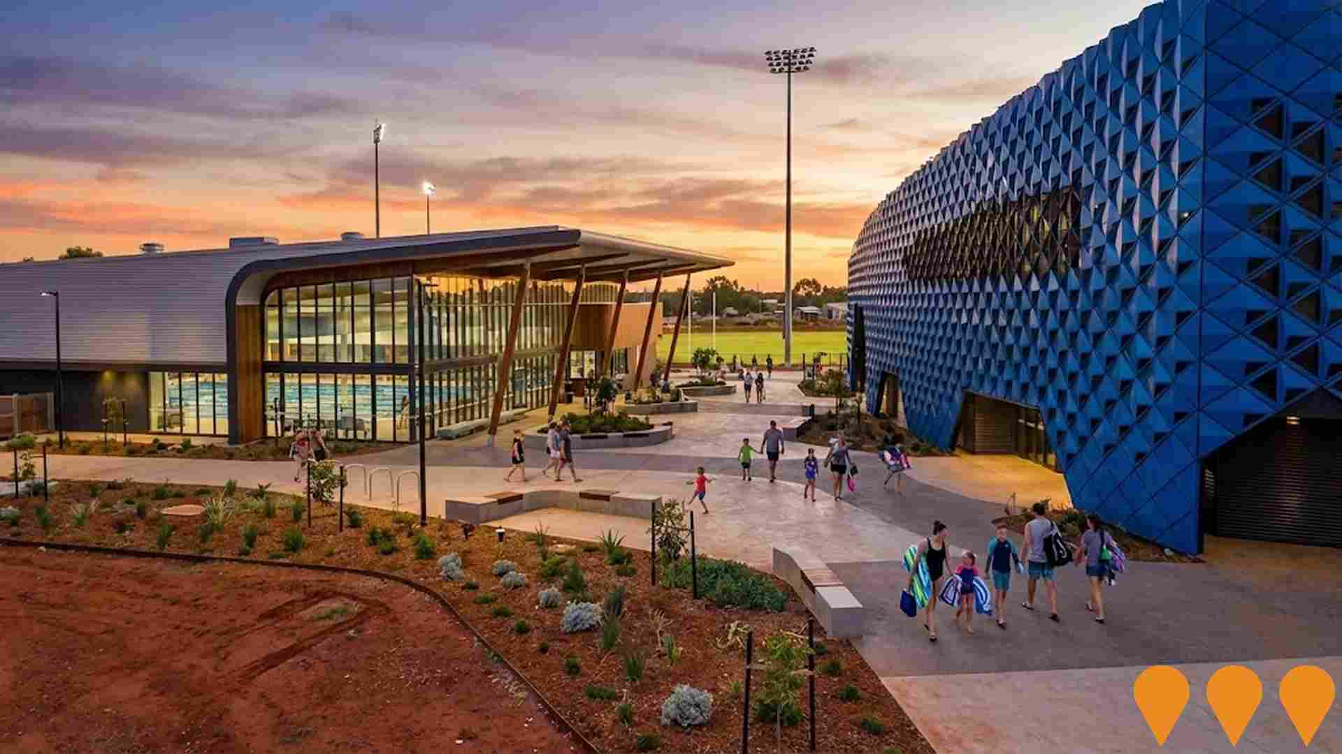
Detail
The suburb of Christmas Island possesses a capable workforce with a strong presence in essential services, an unemployment rate of exactly 0.0%, and stable employment levels over the prior year, according to aggregated statistical data from AreaSearch. As of March 2026, no residents are in work. Census data indicates that a minor 2.8% of the local workforce operated from home, though this figure should be interpreted in the context of past Covid-19 restrictions. The primary employment sectors for local workers are public administration & safety, mining, and construction. The community exhibits a strong concentration in public administration & safety, where the employment proportion is 1.6 times the regional benchmark.
Conversely, the accommodation & food sector is underrepresented, accounting for 4.3% compared to the regional average of 12.0%. Although local job opportunities are present, a comparison of the Census working population against the local population suggests that many residents travel outside the area for employment. Historical employment patterns are still being assembled for Christmas Island. National employment projections published by Jobs and Skills Australia in May-25 can give further context regarding potential future labor demand in Christmas Island. These five and ten-year projections have been aligned with local employment sectors to model future trends. Locally, while national employment is projected to grow by 6.6% over five years and 13.7% over ten years, the actual rates of growth vary considerably by sector. Projecting these national industry trends onto the local workforce distribution suggests that employment in Christmas Island could grow by 5.0% over five years and 10.9% over ten years (note that this is a basic weighted extrapolation for demonstration purposes and does not incorporate local population projections).
Frequently Asked Questions - Employment
Median household income in Christmas Island is $2,109 a week (about $110,000 a year), with median personal income at $1,233 a week. Household income is from the 2021 Census; taxable income is from ATO Taxation Statistics for the latest financial year available, indexed forward using the ABS Wage Price Index.
Detail
The latest postcode-level ATO statistics from AreaSearch for financial year 2023 show that income levels in the suburb of Christmas Island fall below the national benchmark, with a median of $0 and an average income of $0. In contrast, Other Territories recorded a median income of $63,573 and an average of $68,723. Nevertheless, the 2021 Census reveals that individual weekly earnings are in the 92nd percentile nationally ($1,233 weekly). The local income distribution is dominated by the $1,500 - 2,999 bracket, which contains 38.3% of residents (723 people), mirroring regional trends where 32.2% fall into the same bracket.
A notable 30.1% of residents earn more than $3,000 weekly, pointing to pockets of wealth that support local businesses. Residents retain 93.8% of their income after paying for housing, indicating strong disposable income.
Frequently Asked Questions - Income
Christmas Island had 422 occupied dwellings at the 2021 Census, 46% detached houses and 30% apartments. 16% are owned with a mortgage, 55% rented and 29% owned outright. At that Census the median rent was $150 a week and the median mortgage repayment $1,300 a month. Rent absorbs 7.1% of household income here and mortgage repayments 14.2%. Dwelling stock, tenure and housing costs are 2021 Census measures — the only source that counts dwellings at this boundary size.
Detail
According to the most recent Census, the housing stock in Christmas Island consisted of 46.1% separate houses and 53.9% other dwelling types like apartments, semi-detached properties, and alternative formats, compared to Other Territories where houses made up 83.3% and other dwellings accounted for 16.6%. Home ownership rates in Christmas Island were lower than the average for Other Territories, standing at 28.9%, while the remaining properties were either mortgaged (15.7%) or rented (55.4%). The median monthly mortgage payment was identical to the Other Territories average at $1,300, whereas the median weekly rent was $150, compared to $1,300 and $200 in Other Territories.
Nationally, mortgage costs in Christmas Island are well below the Australian average of $1,863, and rent prices are also significantly lower than the national median of $375.
Frequently Asked Questions - Housing
Christmas Island counted 422 households at the 2021 Census, an estimated 471 today, averaging 2.5 people each. 35% are couples with children, against 26% couples without children. 31% of households are people living alone, and families average 1.8 children. Household and family composition is measured only by the Census, so these are 2021 figures.
Detail
Family households constitute the majority of dwellings at 69.2%, which is made up of couples with children at 34.6%, couples without children at 25.6%, and single parent households at 7.1%. The remaining 30.8% consists of non-family households, with lone person households representing 31.0% and group households making up 0.9% of the total. The median household size stands at 2.5 individuals, which is slightly higher than the average of 2.4 observed in Other Territories.
Frequently Asked Questions - Households
21.2% of adults in Christmas Island hold a university qualification, including 13.4% with a bachelor degree and 3.9% with postgraduate qualifications. A further 36.1% hold a vocational qualification. 1 school serves the area, with 250 enrolment places and an average ICSEA of 991 against a national benchmark of 1,000. Qualifications come from the 2021 Census; school enrolments, ICSEA and results come from ACARA's current release.
Detail
Educational attainment levels in Christmas Island are lower than the regional averages, with 21.2% of residents aged 15+ holding a university degree, compared to 30.4% across Australia. This difference indicates opportunities for further educational programs and skill development. Bachelor degrees are the most common higher qualification at 13.4%, while postgraduate qualifications stand at 3.9% and graduate diplomas also at 3.9%. Vocational and technical training is highly represented, with 47.7% of residents aged 15+ holding a vocational qualification, consisting of advanced diplomas (11.6%) and certificate-level qualifications (36.1%). Participation in education is very high, with 44.4% of the population enrolled in some form of study.
Within this group, 19.2% are in primary school, 13.0% are in secondary school, and 2.7% are studying at a tertiary institution.
Frequently Asked Questions - Education
Schools Detail
Getting around Christmas Island means driving: households keep an average of 1.3 vehicles, and no scheduled public transport appears in the current timetable feeds. Service data is built from operators' published GTFS timetables; vehicle ownership is from the 2021 Census.
Frequently Asked Questions - Transport
Transport Stops Detail
80.7% of residents in Christmas Island report no long-term health condition. 1.5% need daily assistance with core activities. Health conditions, assistance needs and insurance are 2021 Census measures; the death rate comes from current ABS releases.
Detail
Health indicators in Christmas Island align closely with national averages based on AreaSearch's evaluation of mortality rates and the occurrence of chronic conditions, showing typical rates of common illnesses across all age groups. However, the proportion of residents with private health insurance is extremely low, sitting at approximately 0% of the population (representing ~0 people). This is in stark contrast to the 53.8% recorded in Other Territories and the national average of 55.7%. Asthma and diabetes are the most common medical conditions reported, affecting 6.3% and 4.7% of the population, respectively.
Meanwhile, 80.7% of residents reported having no chronic medical conditions, compared to 75.7% in Other Territories. The working-age population is healthy, displaying a low rate of chronic disease. The area has 0.0% of its population aged 65 and older (representing 0 people). Senior health outcomes are strong, with national rankings exceeding those of the general community.
Frequently Asked Questions - Health
51.7% of Christmas Island residents were born overseas and 60.5% speak a language other than English at home, more culturally diverse than 94% of areas nationally. The largest reported ancestries are Chinese (24.0%) and Australian (18.4%). Ancestry, language and country of birth are counted only by the Census, so these are 2021 figures.
Detail
Christmas Island stands out as one of the most culturally diverse localities in the nation, with 51.7% of the population born outside Australia and 60.5% speaking a non-English language at home. Islam is the most common religion, practiced by 30.4% of the population. However, the most distinct religious representation is Buddhism, which is followed by 21.0% of residents, a rate much higher than the Other Territories average of 7.1%. Regarding ancestry (based on the birth country of parents), the top three groups represented in Christmas Island are Other at 26.1%, Chinese at 24.0% (which is significantly higher than the regional average of 7.6%), and Australian at 18.4%.
Some smaller ethnic groups show notable differences in representation: South Australian residents make up 0.7% of Christmas Island (compared to 0.3% regionally), Hungarian residents account for 0.3% (compared to 0.1%), and Filipino residents comprise 1.7% (compared to 1.3%).
Frequently Asked Questions - Diversity
The median resident of Christmas Island is 41. That is 3 years older than at the 2021 Census. Age cohorts are not raw Census counts: the Census split is re-based to the latest ABS population estimates and state projections.
Detail
The median age in Christmas Island is 41 years, which is slightly below the Other Territories average of 43 years but slightly above the national average of 38 years. The distribution of age brackets is similar to that of Other Territories. Post-2021 Census figures reveal an aging demographic, with the median age rising from 38 to 41 years. Notable changes include the 25 to 34 age bracket falling from 18.9% to 0.0% and the 35 to 44 cohort dropping from 16.1% to 0.0%. Population projections for 2032 suggest significant demographic shifts for Christmas Island.
The 35 to 44 age cohort is projected to show the strongest growth at 0%, adding 325 residents to reach a total of 325. Meanwhile, the 85+ bracket is projected to experience more modest growth at 0%, adding only 11 residents.
Frequently Asked Questions - Age
Data & MethodBoundaries, Sources & Method for Christmas Island
9 of 14 data sections on this page were updated within the last 12 months — the newest current to Aug 2026.
Everything is aggregated to the Suburb (SAL) boundary shown above, on a 2021 Census baseline. Only 3 sections — housing, households and cultural diversity — still wait on the 2026 Census.
The ledger — source, cycle and currency by section
| Section | Source & update cycle | Currency |
|---|---|---|
| Updated within the last 12 months 9 sections | ||
| Population | ABS, GNAF, Geoscience Australia Annual (ABS ERP) | May 2026 3 months ago headline measures · 2021 Census baseline |
| Re-based to the ABS Estimated Resident Population (June 2025 release) and updated with new dwellings from GNAF address data. Current to May 2026, with the 2021 Census supplying the small-area baseline. | ||
| Age profile | ABS, Geoscience Australia, State governments Annual | May 2026 3 months ago headline measures · 2021 Census baseline |
| Age cohorts are re-based to the latest ABS population estimates and state projections, current to May 2026. Each cohort is held as a Census baseline and a current estimate. | ||
| Development & approvals | ABS, GNAF Monthly (ABS approvals) | Jun 2026 2 months ago headline measures · May 2026 baseline |
| Property sales & rents | Valuer General, Rental Board, ABS Weekly sales, quarterly rents | Aug 2026 this month all 21 measures |
| Sales from the state Valuer General register, refreshed weekly, and rents from quarterly rental bond lodgements. Both are read live each time this page loads, current to Aug 2026. | ||
| Infrastructure projects | Infrastructure Australia, Local governments Daily | May 2026 3 months ago all 2 projects tracked here |
| Project pipeline maintained continuously from Infrastructure Australia, state agencies, local government and public announcements. Records are added and revised daily; this area was last updated May 2026. | ||
| Employment | ABS, DEWR, JSA Quarterly (ABS SALM) | Mar 2026 5 months ago headline measures · 2021 Census baseline |
| Unemployment and labour force from ABS Small Area Labour Markets, current to Mar 2026. The growth outlook applies Department of Employment (now Jobs and Skills Australia) forecasts for all 19 industry divisions to the local industry mix, so it measures sector composition rather than local expansion and makes no allowance for population growth. Job demand comes from the same agency via its Internet Vacancy Index; industry and occupation structure from the 2021 Census. | ||
| Education | ABS, ACARA Annual (ACARA) | Aug 2026 this month headline measures · 2021 Census baseline |
| Transport | ABS, State Transport Departments Each timetable release | Jul 2026 last month headline measures · 2021 Census baseline |
| Services & amenities | Provider directories, ACECQA Continuous | Jul 2026 last month all 14 measures |
| Annual and financial-year sources 2 sections | ||
| Income | ABS, ATO Annual (ATO) | FY 2023 3 years ago headline measures · 2021 Census baseline |
| ATO taxable income statistics for FY 2023, indexed forward using the Wage Price Index. Census household income provides the distribution detail. | ||
| Health | ABS, ATO Annual | 2024 2 years ago headline measures · 2021 Census baseline |
| Census-measured — next update: 2026 Census 3 sections No more current small-area source exists for these, so they are labelled as Census-measured rather than implied to be current. | ||
| Housing | ABS 5-yearly (Census) | 2021 Census next update 2026 all 30 measures |
| Households | ABS 5-yearly (Census) | 2021 Census next update 2026 all 18 measures |
| Cultural diversity | ABS, Geoscience Australia 5-yearly (Census) | 2021 Census next update 2026 all 44 measures |
"Currency" is the most recent release feeding that section. Where the Census supplies the structural baseline underneath a current headline figure, the row says so.
How the numbers are built
Population
The Census provides the small-area baseline, aggregated from mesh blocks to this boundary. It is then re-based to the ABS Estimated Resident Population (June 2025 release), and new dwellings built since Census night are counted from address data. The headline figure is therefore a current estimate for May 2026, not a 2021 count (1,692 at the 2021 Census → 1,889 now). Annual growth rates are compound (CAGR), not simple averages.
Age profile
Cohort shares are not raw Census counts. Every cohort is held as a pair — the Census baseline and a current estimate — and the split is re-based using ERP and state population projections, current to May 2026. Median age is the Census median plus modelled change since. Charts that show both are labelled "2021 Census vs Current Estimate".
Property sales
Sourced from the state valuation authority's sales register — current, not Census, and refreshed weekly. Medians are calculated from settled transactions in the period shown; periods with very low transaction counts are flagged or suppressed, because a handful of sales can move a median substantially.
Rents
Derived from state rental bond lodgement data, by dwelling type and bedroom count. Bonds are lodged at the start of a new tenancy, so this reflects new lettings, not the whole rented stock.
Development & infrastructure
Building approvals come from current ABS releases; development applications are collected from council and state planning portals; the infrastructure pipeline is compiled from Infrastructure Australia and local government sources. Applications are matched to this boundary by address or coordinates, so very recent lodgements may not yet appear.
Employment & income
Industry and occupation structure comes from the Census, but the headline labour-market indicators do not. Unemployment and labour force are derived from ABS Small Area Labour Markets (quarterly). The employment outlook applies Department of Employment forecasts for all 19 industry divisions to this area's own industry mix (the agency is now Jobs and Skills Australia), as does the Internet Vacancy Index used for job demand. Because it is weighted on industry composition alone, that outlook carries no allowance for local population growth — in fast-growing areas the real rise in local jobs will typically be higher. Income combines Census household income with ATO taxable-income statistics for FY 2023, indexed forward using the Wage Price Index.
Education, transport & amenities
School enrolments, ICSEA and performance come from ACARA's current release, not the Census. Public transport stops and service frequency are derived from GTFS timetable feeds published by state transport departments. Services and amenities are proximity and count scores built from provider directories, refreshed on their own cycle. The Census contributes only the travel-to-work and qualification measures.
Rankings and benchmarks. Where we rank this area, the comparison set is every area of the same boundary type — suburbs against suburbs, SA2s against SA2s. Benchmarks compare this area against its greater capital city region and the national figure for the same measure and period.
Limits worth knowing. Small areas carry larger error margins, and the ABS introduces small random adjustments to Census counts to protect confidentiality — so totals may not sum exactly. Estimates re-based from regional data describe the area's expected trajectory, not a direct count of it. Figures are indicative for research and are not financial, planning or valuation advice.
Cross-check us. The Census baseline for this boundary is at ABS 2021 Census QuickStats (SAL90001). QuickStats reports 2021 only — the figures on this page are more current wherever the ledger shows a later date.