Chart Color Schemes
This analysis uses ABS Statistical Areas Level 2 (SA2) boundaries, which can materially differ from Suburbs and Localities (SAL) even when sharing similar names.
SA2 boundaries are defined by the Australian Bureau of Statistics and are designed to represent communities for statistical reporting (e.g., census and ERP).
Suburbs and Localities (SAL) represent commonly-used suburb/locality names (postal-style areas) and may use different geographic boundaries. For comprehensive analysis, consider reviewing both boundary types if available.
est. as @ -- *
ABS ERP | -- people | --
2021 Census | -- people
Sales Activity
Curious about local property values? Filter the chart to assess the volume and appreciation (including resales) trends and regional comparisons, or scroll to the map below view this information at an individual property level.
Find a Recent Sale
Sales Detail
Population
Glenfield lies within the top quartile of areas nationally for population growth performance according to AreaSearch analysis of recent, and medium to long-term trends
Glenfield's population is approximately 10,987 as of November 2025. This figure represents an increase of 451 people since the 2021 Census, which recorded a population of 10,536. The change is inferred from the estimated resident population of 10,816 in June 2024 and an additional 154 validated new addresses since the Census date. This results in a population density ratio of 1,571 persons per square kilometer, which exceeds the average seen across national locations assessed by AreaSearch. Over the past decade, Glenfield has shown resilient growth patterns with a compound annual growth rate of 1.7%, outperforming the metropolitan area. Overseas migration was the primary driver of population growth during recent periods.
AreaSearch is using ABS/Geoscience Australia projections for each SA2 area, released in 2024 with a base year of 2022, and NSW State Government's SA2 level projections for areas not covered by this data, released in 2022 with a base year of 2021. Growth rates by age group from these aggregations are applied to all areas for years 2032 to 2041. Exceptional growth is predicted over the period, placing Glenfield in the top 10 percent of national statistical areas. The area is expected to increase by 5,938 persons to 2041 based on the latest annual ERP population numbers, reflecting a gain of 52.5% in total over the 17 years.
Frequently Asked Questions - Population
Development
Residential development activity is lower than average in Glenfield according to AreaSearch's national comparison of local real estate markets
Glenfield has received approximately 33 dwelling approvals annually over the past five financial years, totalling 167 homes. In FY2026 so far, 12 approvals have been recorded. On average, each new dwelling constructed between FY2021 and FY2025 accommodated around 1.5 new residents per year. However, recent data shows this has increased to 5 people per dwelling over the past two financial years.
The average construction value of development projects in Glenfield is $189,000, which is below regional norms, indicating more affordable housing options. Compared to Greater Sydney, Glenfield has significantly less development activity, with approximately 52.0% fewer approvals per person. This limited new supply generally supports stronger demand and values for established homes. Nationally, Glenfield also reflects lower development activity, suggesting market maturity and potential development constraints. New developments consist of 45.0% detached houses and 55.0% townhouses or apartments, indicating a shift towards higher-density living to accommodate changing lifestyles and provide more affordable housing options. With around 491 people per dwelling approval, Glenfield shows a developed market with an expected population growth of 5,767 residents by 2041. If current construction levels persist, housing supply may lag behind population growth, potentially intensifying buyer competition and underpinning price growth.
Looking ahead, Glenfield is expected to grow by 5,767 residents through to 2041 (from the latest AreaSearch quarterly estimate). Should current construction levels persist, housing supply could lag population growth, likely intensifying buyer competition and underpinning price growth.
Frequently Asked Questions - Development
Infrastructure
Glenfield has strong levels of nearby infrastructure activity, ranking in the top 30% nationally
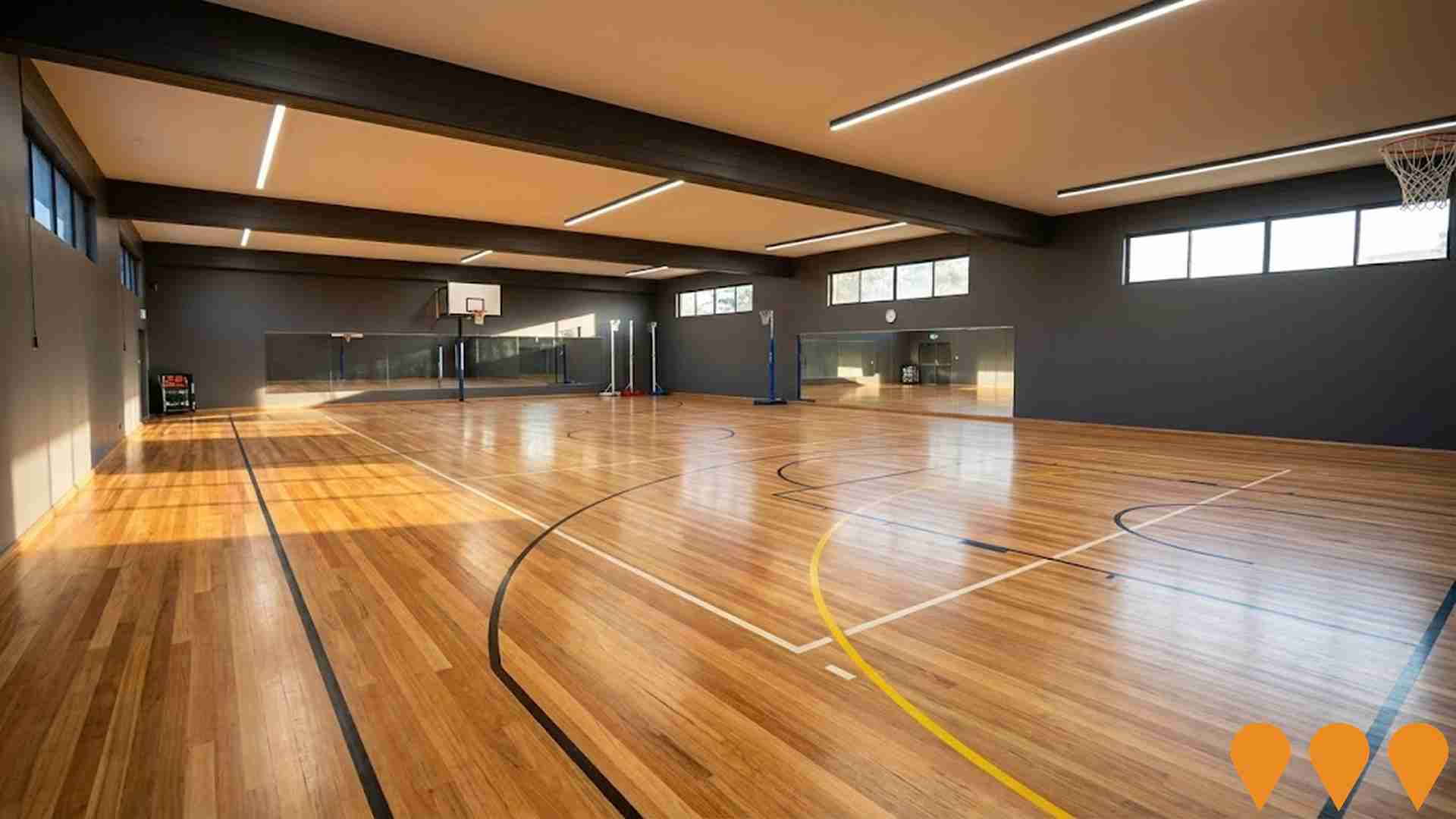
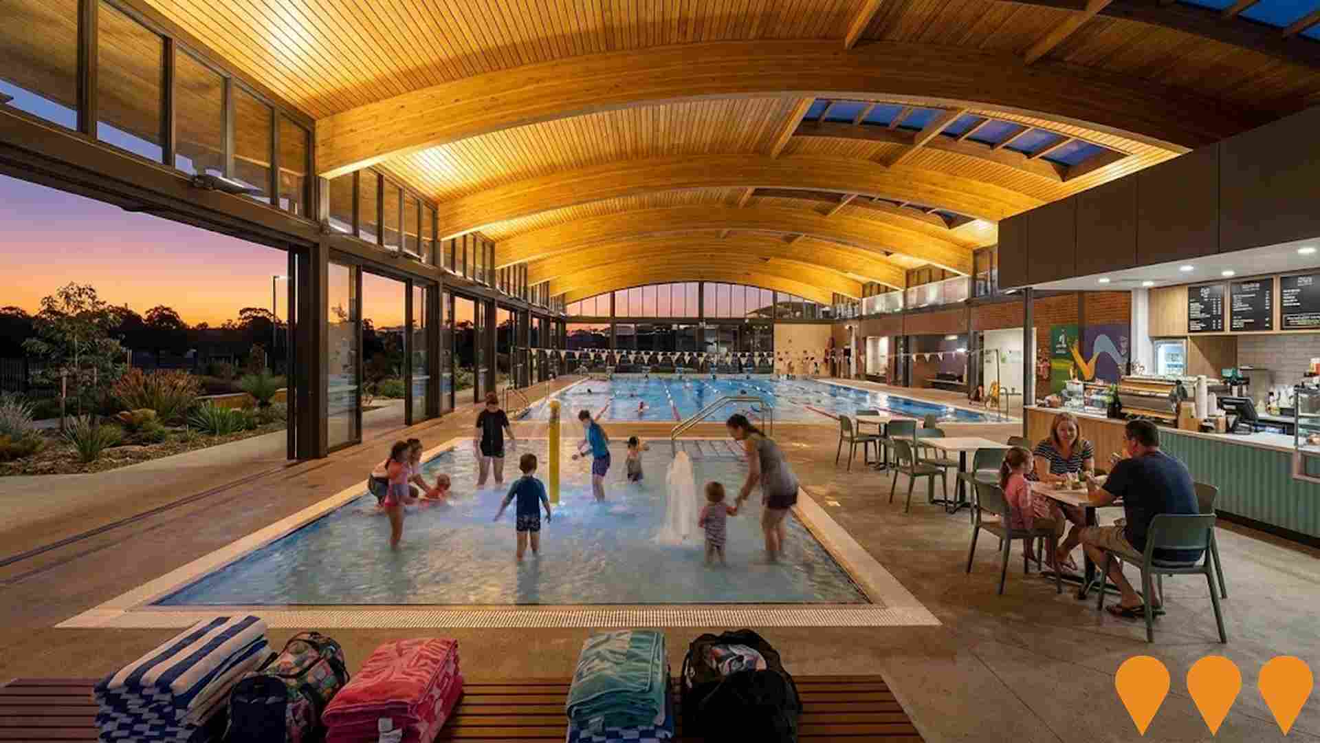
Changes to local infrastructure significantly influence an area's performance. AreaSearch has identified 13 projects that may impact this region. Key projects include Hurlstone Agricultural High School Redevelopment, Carnes Hill Aquatic and Recreational Precinct, West Glenfield Development, and Glenfield Industrial Precinct. The following list details those most relevant.
Professional plan users can use the search below to filter and access additional projects.
INFRASTRUCTURE SEARCH
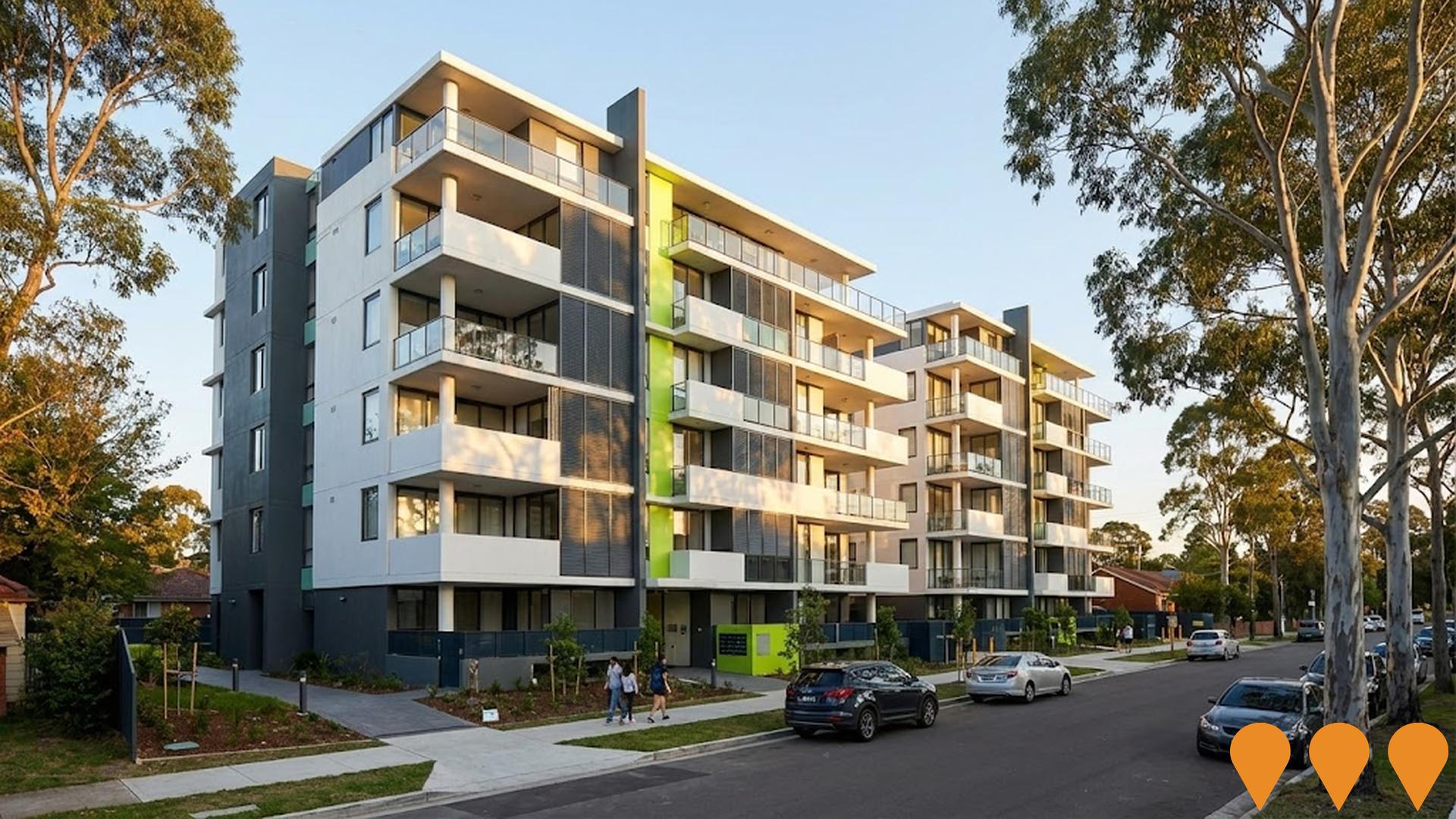
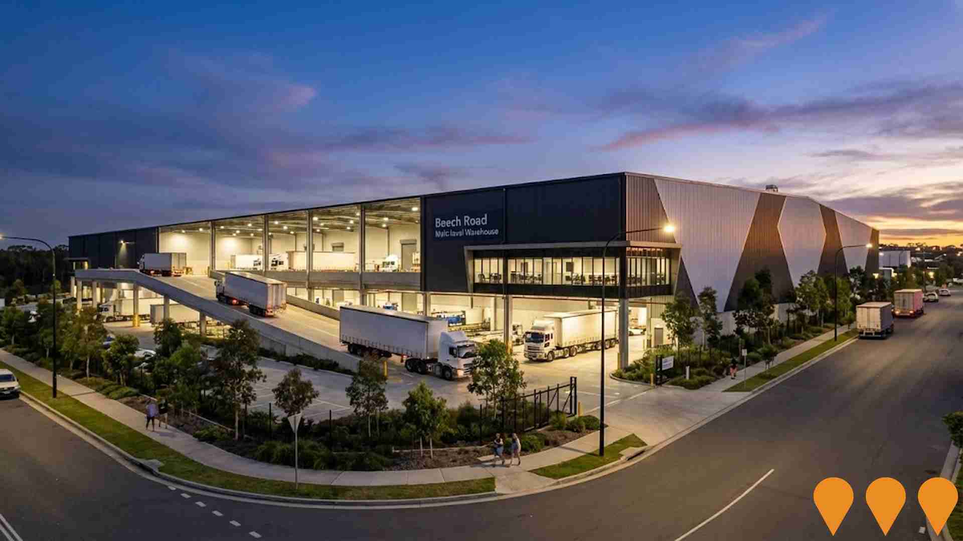
 Denotes AI-based impression for illustrative purposes only, not to be taken as definitive under any circumstances. Please follow links and conduct other investigations from the project's source for actual imagery. Developers and project owners wishing us to use original imagery please Contact Us and we will do so.
Frequently Asked Questions - Infrastructure
West Glenfield Development
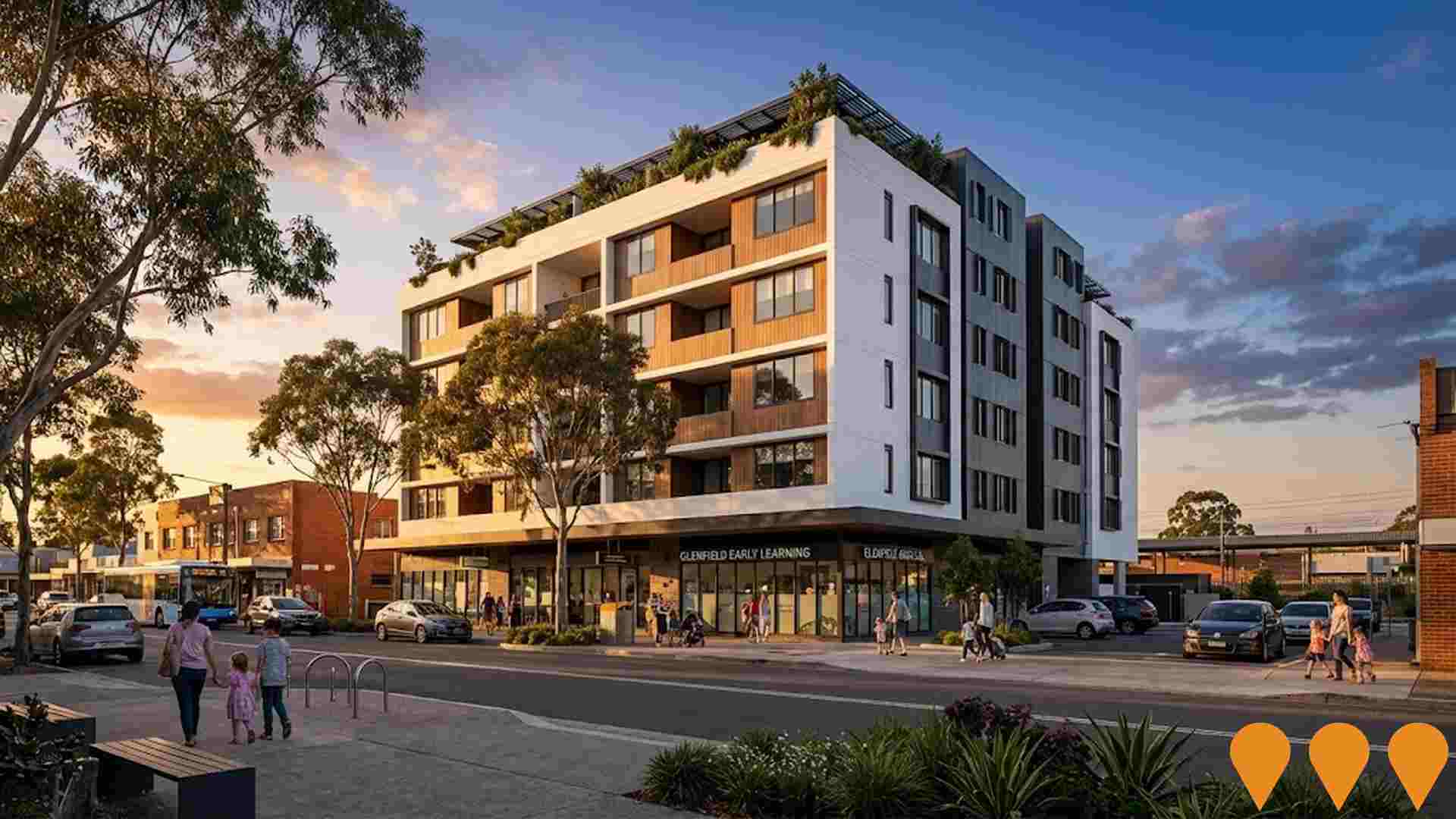
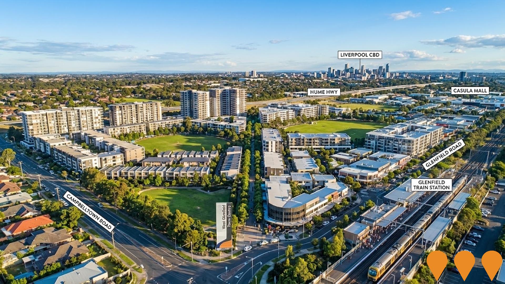
A transformative urban renewal project delivering more than 3,900 new homes over 15 years, featuring a vibrant mixed-use town centre with shopping, dining and community facilities. The development prioritizes sustainability with carbon-neutral, water-positive and zero-waste goals, alongside 30 hectares of new public open space, parks, and sporting fields. Located next to Glenfield Train Station with connections to Sydney, Campbelltown, Liverpool, Parramatta and the future Western Sydney Airport. The project includes detached houses, terraces, townhouses and apartments from 4 to 22 storeys, with up to 5% affordable housing. Planning proposal expected mid-2025, with civil works commencing in 2026 and first housing sites available in 2027.
Chapter Place
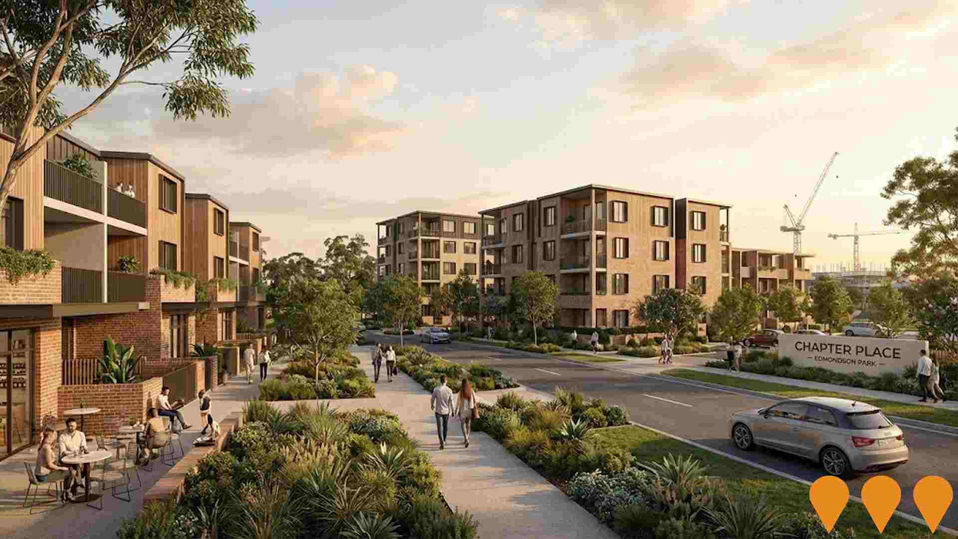
Chapter Place is a major residential and retail precinct in Edmondson Park, delivering up to 1,900 new homes including 272 affordable residences for essential workers, sustainable features like carbon-neutral bricks and solar storage, and creating 5,200 jobs. The development includes terraces and apartments designed by Cox Architecture, with the first stage of 43 terraces expected by mid-2026.
Crossroads Homemaker Centre Asset Enhancement
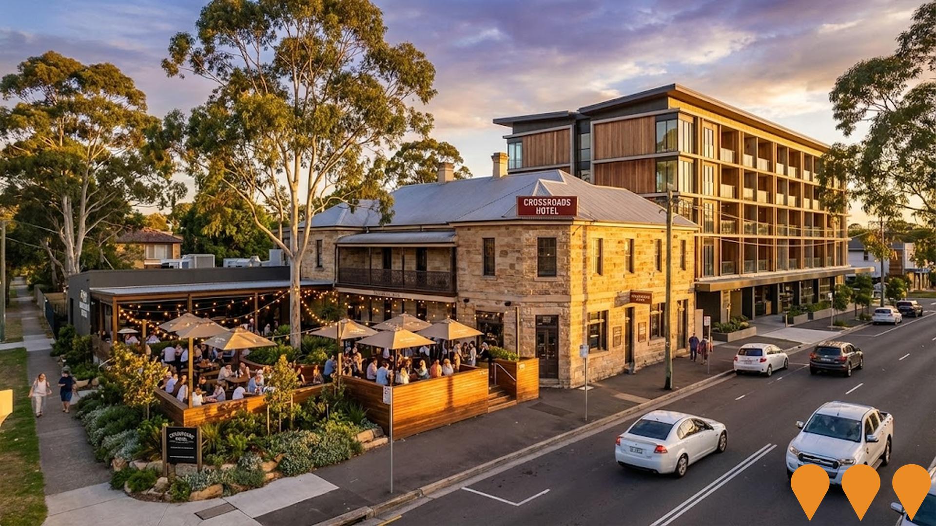
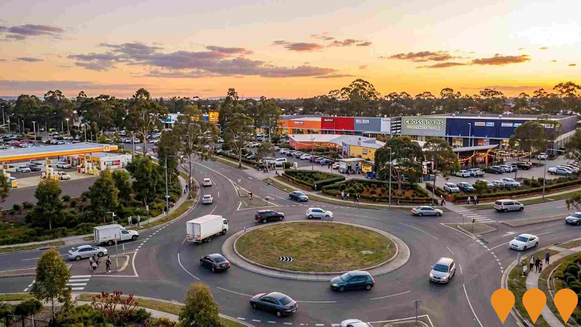
Large-format retail centre enhancement project on 14.3 hectare site featuring 38 homewares retailers. LaSalle Investment Management identified significant development upside with opportunities to expand and redevelop existing buildings. Recent $3M refurbishment completed with new food and beverage precinct. Centre serves over 4 million customers annually and is the fifth largest large-format retail centre in Australia.
Macquarie Fields Station Upgrade
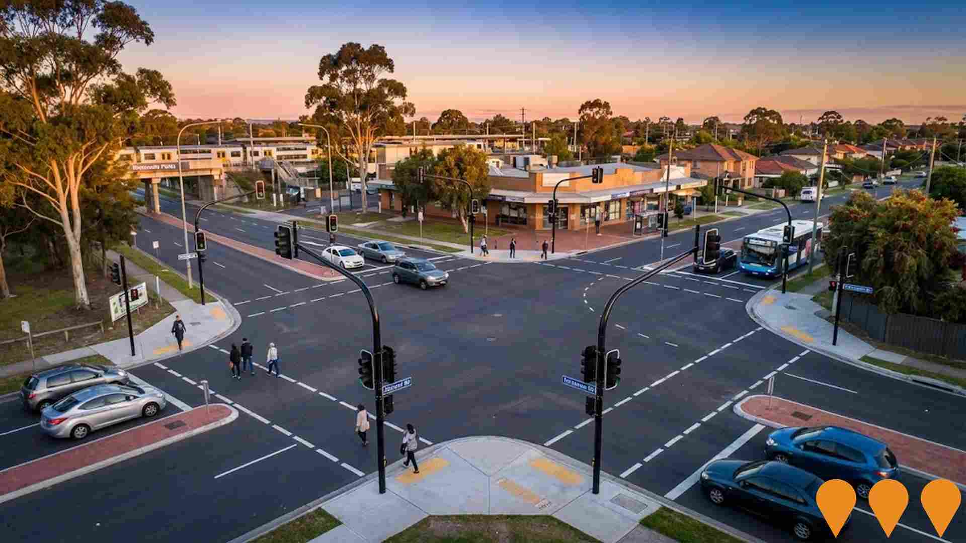
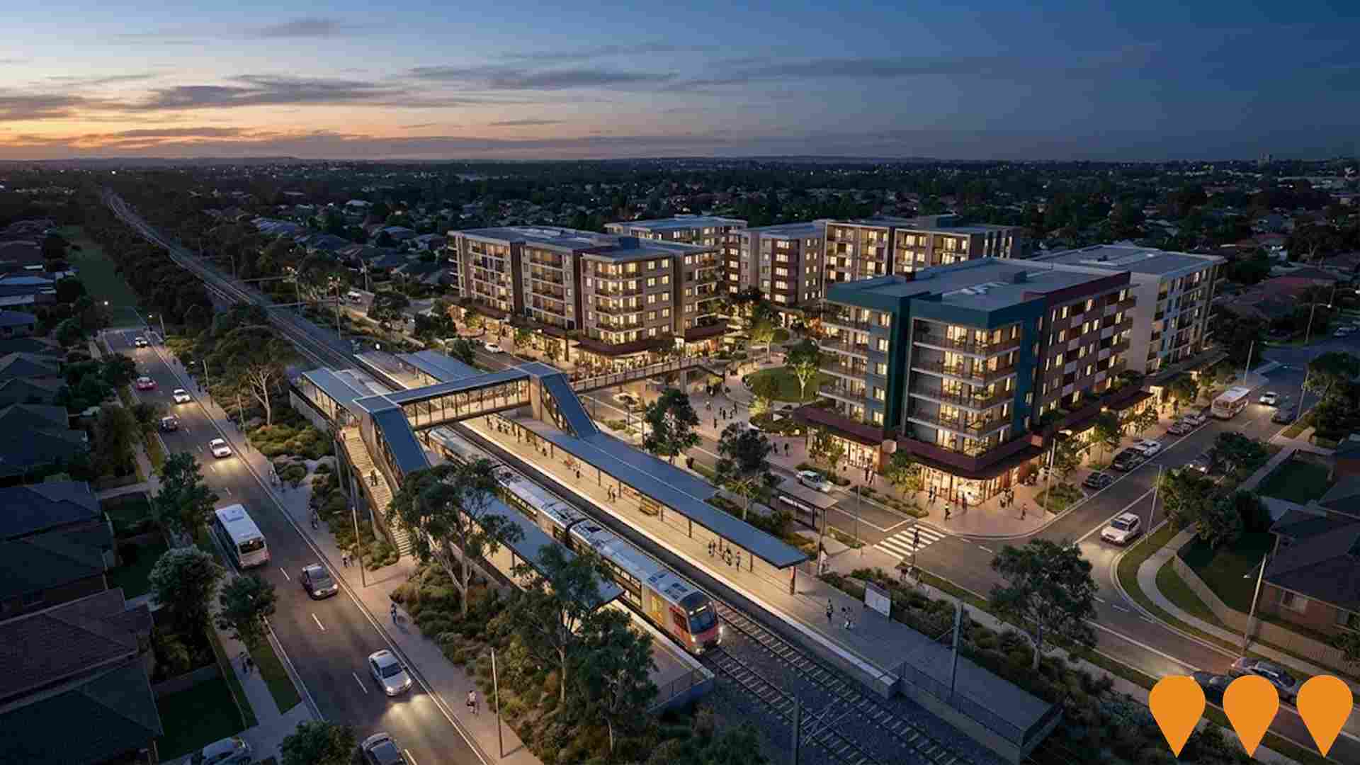
NSW Government accessibility and safety upgrade at Macquarie Fields Station. Features new passenger footbridge with lifts, upgraded station forecourt, accessible parking spaces, kiss and ride zones, enhanced pedestrian connections, new accessible toilets, improved lighting and CCTV. Construction by Arenco.

Macquarie Fields Precinct
Precinct plan within the Greater Macarthur Growth Area to evolve Macquarie Fields into a local village centre with medium rise mixed use near the station, more housing diversity, improved open space links and better pedestrian and transport connections. Implementation occurs via council or state led rezoning consistent with the precinct plan, enabling around 340 additional dwellings and supporting retail by 2036.
Glenfield Industrial Precinct
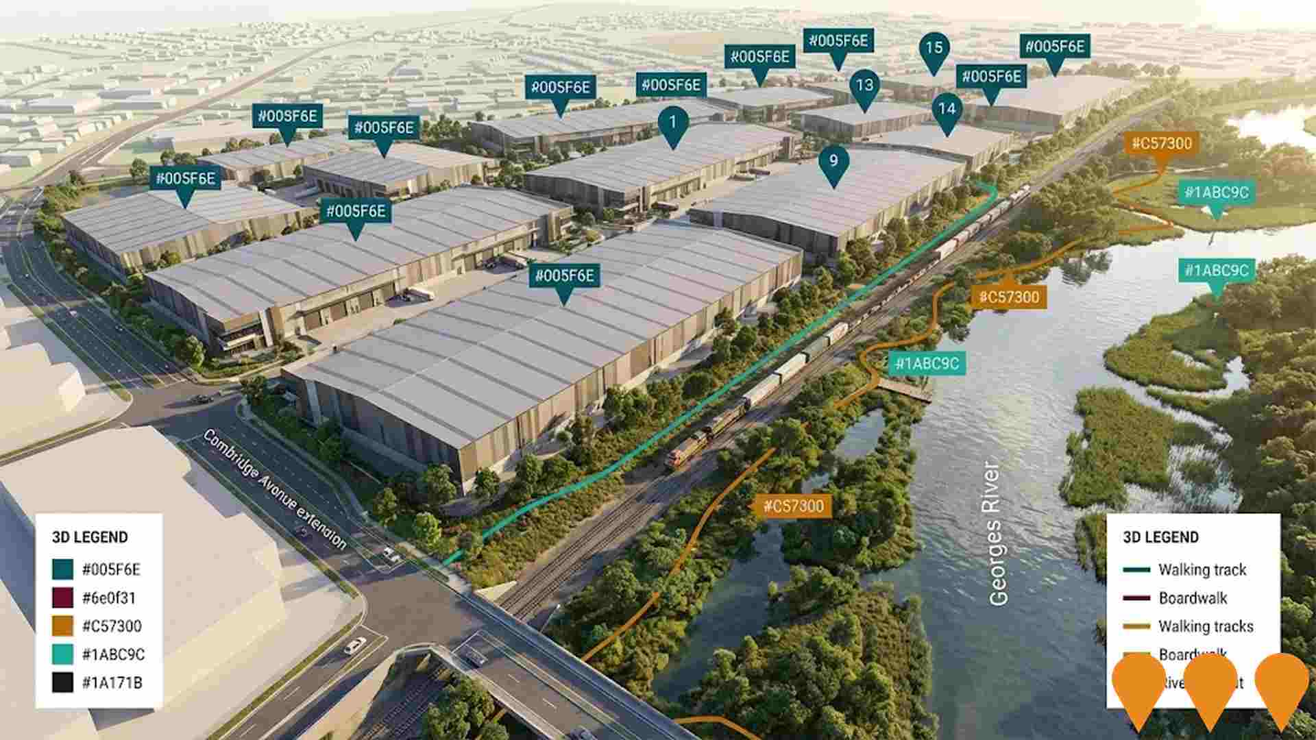
Transformation of a 91.55-hectare former waste facility into a major industrial logistics estate. The project involves rezoning from RU2 Rural Landscape and RE1 Public Recreation to E4 General Industrial, with warehouse and distribution centres ranging from 8,700 to 39,700 square metres. The development includes ancillary offices, food and beverage facilities, road infrastructure, and stormwater management. Stage 1 features two 40,000 square metre warehouse and distribution centres. The project will benefit from the future Cambridge Avenue extension, providing freight links to the M5 Motorway via Moorebank Avenue, supporting the growing logistics and industrial sector in Southwest Sydney.
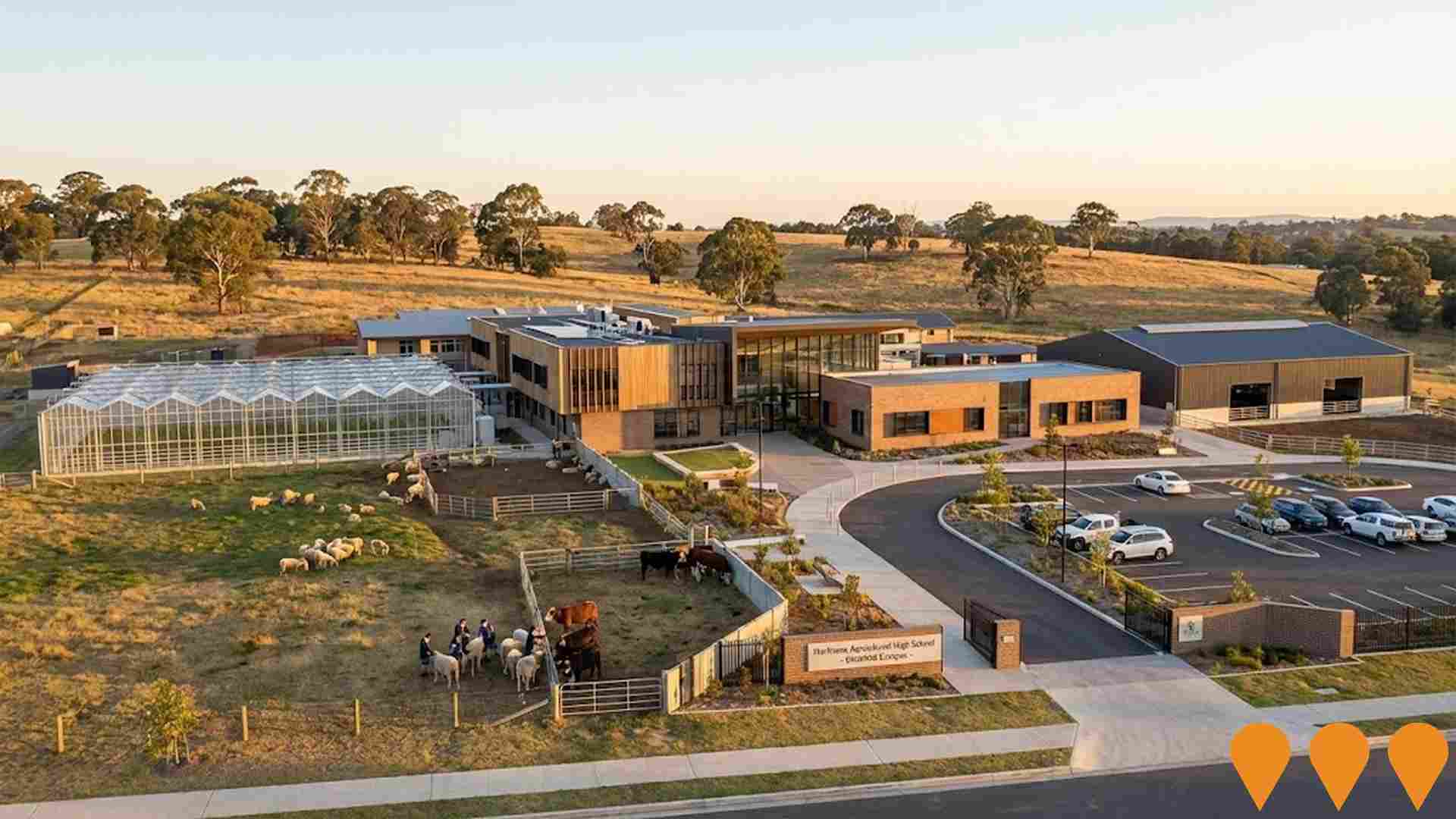
Hurlstone Agricultural High School Redevelopment
The Hurlstone Agricultural High School Redevelopment involves modernizing the school's infrastructure at its new Glenfield location. The project includes new classrooms, advanced laboratories, agricultural facilities, and boarding accommodations to enhance specialized agricultural and scientific education programs. The redevelopment aims to provide state-of-the-art facilities to support student learning and research.
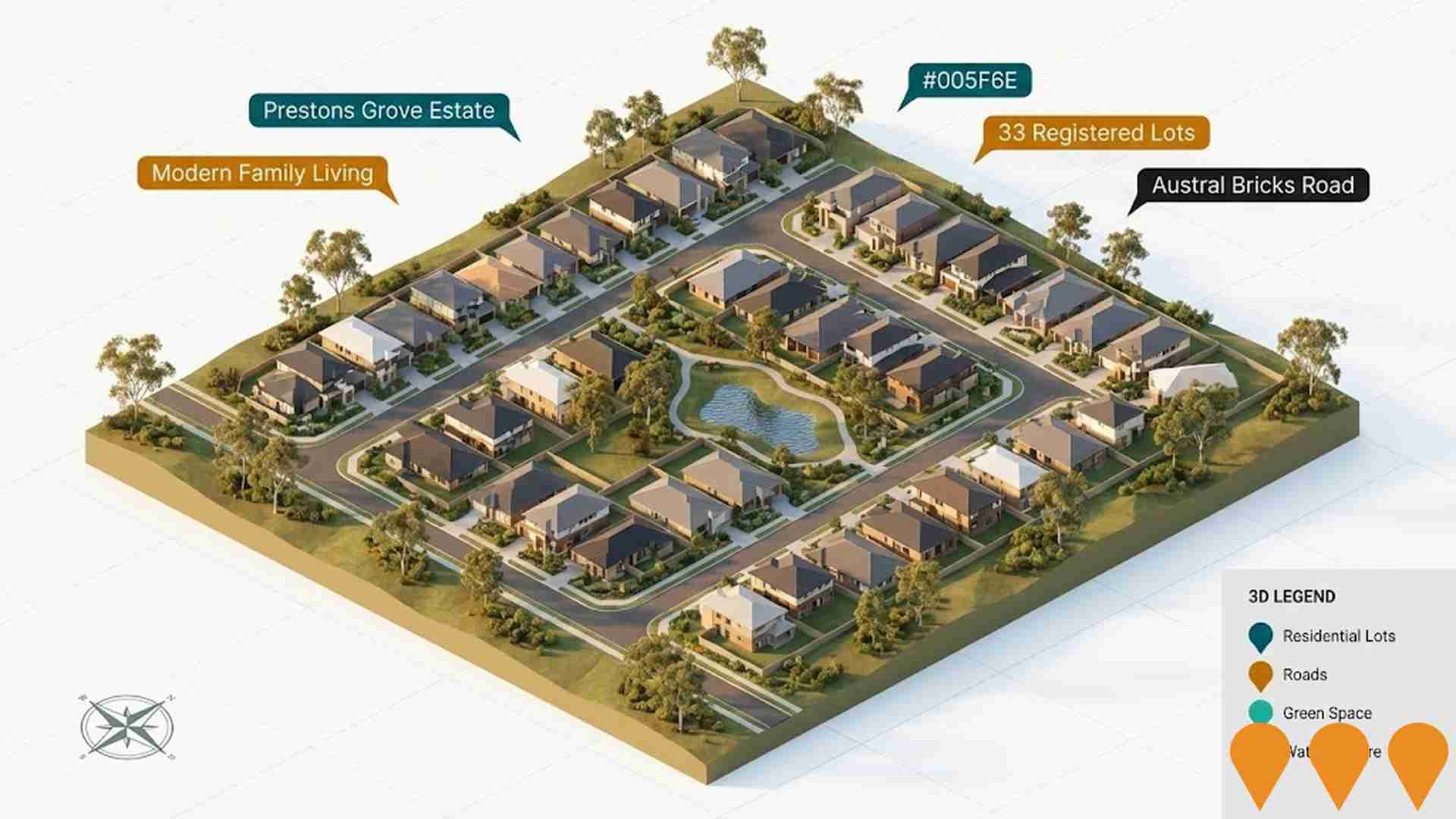
Prestons Grove Estate
Residential subdivision development in Prestons featuring 33 registered lots for modern family living. Located near Austral Bricks Road with excellent connectivity to M5 and M7 highways, marketed by Australian Land & Housing.
Employment
Employment performance in Glenfield exceeds national averages across key labour market indicators
Glenfield's workforce comprises highly educated individuals with significant representation in professional services. The unemployment rate was 3.6% as of September 2025, lower than Greater Sydney's 4.2%.
Employment growth over the past year was estimated at 4.8%. As of September 2025, 6,023 residents were employed with a workforce participation rate similar to Greater Sydney's 60.0%. Dominant employment sectors include health care & social assistance, retail trade, and professional & technical services. Glenfield specializes in health care & social assistance, with an employment share of 1.4 times the regional level, while construction employs only 5.3% of local workers compared to Greater Sydney's 8.6%.
Over the 12 months to September 2025, employment increased by 4.8%, labour force by 5.1%, leading to a slight rise in unemployment (0.2 percentage points). In comparison, Greater Sydney recorded employment growth of 2.1% and unemployment rose by 0.2 percentage points. State-level data to November 25 shows NSW employment contracted by 0.03% with an unemployment rate of 3.9%, favourably compared to the national unemployment rate of 4.3%. Jobs and Skills Australia's national employment forecasts from May-25 project a 6.6% increase over five years and 13.7% over ten years, varying by industry sector. Applying these projections to Glenfield's employment mix suggests local employment should increase by 6.9% over five years and 14.3% over ten years.
Frequently Asked Questions - Employment
Income
Income analysis reveals strong economic positioning, with the area outperforming 60% of locations assessed nationally by AreaSearch
Glenfield SA2 had a median taxpayer income of $54,131 and an average of $62,554 in financial year 2022, according to postcode level ATO data aggregated by AreaSearch. This was lower than the national average, with Greater Sydney's median income being $56,994 and average income $80,856. Based on Wage Price Index growth of 12.61% since financial year 2022, estimated median income as of September 2025 would be approximately $60,957, and average income $70,442. Census data shows Glenfield's household, family, and personal incomes cluster around the 64th percentile nationally. The $1,500 - $2,999 income bracket dominated with 38.3% of residents (4,208 people), similar to the metropolitan region where this cohort represented 30.9%. High housing costs consumed 17.3% of income, but strong earnings placed disposable income at the 67th percentile. The area's SEIFA income ranking placed it in the 6th decile.
Frequently Asked Questions - Income
Housing
Glenfield displays a diverse mix of dwelling types, with ownership patterns similar to the broader region
Glenfield's dwelling structures, as per the latest Census data, consisted of 69.3% houses and 30.7% other dwellings (semi-detached, apartments, 'other' dwellings). In comparison, Sydney metro had 78.5% houses and 21.5% other dwellings. Home ownership in Glenfield was 22.8%, similar to Sydney metro's level. Mortgaged dwellings accounted for 42.4%, while rented dwellings made up 34.8%. The median monthly mortgage repayment in Glenfield was $2,167, higher than the Sydney metro average of $2,100. Median weekly rent in Glenfield was $420, compared to Sydney metro's $380. Nationally, Glenfield's mortgage repayments were significantly higher at $2,167 versus the Australian average of $1,863. Rents in Glenfield were substantially above the national figure of $375 at $420.
Frequently Asked Questions - Housing
Household Composition
Glenfield features high concentrations of family households, with a higher-than-average median household size
Family households account for 82.0% of all households, including 48.4% couples with children, 20.0% couples without children, and 12.4% single parent families. Non-family households constitute the remaining 18.0%, with lone person households at 15.9% and group households comprising 2.0% of the total. The median household size is 3.0 people, which is larger than the Greater Sydney average of 2.9.
Frequently Asked Questions - Households
Local Schools & Education
Educational attainment in Glenfield aligns closely with national averages, showing typical qualification patterns and performance metrics
In Glenfield, the proportion of residents aged 15 and above with university qualifications is 38.5%, exceeding the SA4 region's 22.3% and the SA3 area's 24.6%. This educational advantage is reflected in the high number of Bachelor degrees (24.0%) and postgraduate qualifications (12.6%). Vocational credentials are also prominent, with 28.1% of residents holding such qualifications, including advanced diplomas (11.1%) and certificates (17.0%). Educational participation is notable, with 33.4% of residents currently enrolled in formal education, comprising 11.6% in primary, 8.0% in secondary, and 6.5% in tertiary education.
Educational participation is notably high, with 33.4% of residents currently enrolled in formal education. This includes 11.6% in primary education, 8.0% in secondary education, and 6.5% pursuing tertiary education.
Frequently Asked Questions - Education
Schools Detail
Nearby Services & Amenities
Transport
Transport servicing is high compared to other areas nationally based on assessment of service frequency, route connectivity and accessibility
Glenfield has 55 active public transport stops, serving a mix of train and bus services. These stops are covered by 24 individual routes, facilitating 5,970 weekly passenger trips in total. The average distance from residents to the nearest stop is 160 meters, indicating excellent transport accessibility.
Daily service frequency averages 852 trips across all routes, resulting in approximately 108 weekly trips per stop.
Frequently Asked Questions - Transport
Transport Stops Detail
Health
Glenfield's residents are healthier than average in comparison to broader Australia with prevalence of common health conditions quite low among the general population though higher than the nation's average across older, at risk cohorts
Health data shows Glenfield residents have relatively positive health outcomes with low prevalence of common conditions among the general population, but higher than national averages for older, at-risk cohorts.
Private health cover is slightly lower than average at 51% (~5614 people). The most common conditions are arthritis (6.4%) and diabetes (5.9%), while 75.1% report no medical ailments compared to Greater Sydney's 70.3%. Glenfield has 13.2% residents aged 65+ (1445 people), lower than Greater Sydney's 14.4%. Health outcomes among seniors require more attention.
Frequently Asked Questions - Health
Cultural Diversity
Glenfield is among the most culturally diverse areas in the country based on AreaSearch assessment of a range of language and cultural background related metrics
Glenfield's population is highly diverse, with 56.5% speaking a language other than English at home and 51.8% born overseas. Christianity is the dominant religion, comprising 45.1%. Hinduism stands out at 17.5%, significantly higher than Greater Sydney's average of 7.5%.
Ancestry-wise, 'Other' tops at 29.4%, above the regional average of 21.6%. Australian ancestry is lower at 12.5% compared to 20.0%, and English ancestry is also lower at 11.9% versus 18.1%. Other ethnic groups show notable variations: Samoan at 2.3% (versus 2.4%), Indian at 11.7% (versus 4.8%), and Filipino at 4.5% (versus 3.3%).
Frequently Asked Questions - Diversity
Age
Glenfield's population is slightly younger than the national pattern
Glenfield's median age is 36 years, nearly matching Greater Sydney's average of 37 years, which is modestly under the Australian median of 38 years. Compared to Greater Sydney, Glenfield has a higher concentration of residents aged 5-14 (13.8%) but fewer residents aged 25-34 (13.7%). Between the 2021 Census and now, the population aged 15 to 24 has grown from 11.5% to 12.5%, while the 85+ cohort has declined from 3.1% to 1.8%. By 2041, demographic modeling suggests Glenfield's age profile will evolve significantly. The 15 to 24 cohort is projected to grow by 83%, adding 1,149 residents to reach a total of 2,527.
