Chart Color Schemes
This analysis uses ABS Statistical Areas Level 2 (SA2) boundaries, which can materially differ from Suburbs and Localities (SAL) even when sharing similar names.
SA2 boundaries are defined by the Australian Bureau of Statistics and are designed to represent communities for statistical reporting (e.g., census and ERP).
Suburbs and Localities (SAL) represent commonly-used suburb/locality names (postal-style areas) and may use different geographic boundaries. For comprehensive analysis, consider reviewing both boundary types if available.
est. as @ -- *
ABS ERP | -- people | --
2021 Census | -- people
Sales Activity
Curious about local property values? Filter the chart to assess the volume and appreciation (including resales) trends and regional comparisons, or scroll to the map below view this information at an individual property level.
Find a Recent Sale
Sales Detail
Population
An assessment of population growth drivers in Castlemaine Surrounds reveals an overall ranking slightly below national averages considering recent, and medium term trends
Based on AreaSearch's analysis, Castlemaine Surrounds' population is around 9,974 as of Nov 2025. This reflects an increase of 749 people (8.1%) since the 2021 Census, which reported a population of 9,225 people. The change was inferred from the estimated resident population of 9,596 from the ABS as of June 2024 and an additional 197 validated new addresses since the Census date. This level of population equates to a density ratio of 6.6 persons per square kilometer. Castlemaine Surrounds' growth of 8.1% since the 2021 census exceeded both the SA4 region (5.9%) and the non-metro area, marking it as a growth leader in the region. Population growth for the area was primarily driven by interstate migration that contributed approximately 78.4% of overall population gains during recent periods.
AreaSearch is adopting ABS/Geoscience Australia projections for each SA2 area, released in 2024 with 2022 as the base year. For areas not covered, AreaSearch utilises VIC State Government's Regional/LGA projections released in 2023, adjusted using a method of weighted aggregation of population growth from LGA to SA2 levels. Growth rates by age group are applied across all areas for years 2032 to 2041. Over this period, projections indicate an overall population decline, with the area's population expected to reduce by 799 persons by 2041. However, growth is anticipated in specific age cohorts, led by the 25 to 34 age group, projected to grow by 125 people.
Frequently Asked Questions - Population
Development
AreaSearch assessment of residential development activity positions Castlemaine Surrounds among the top 25% of areas assessed nationwide
Castlemaine Surrounds has seen approximately 61 new homes approved annually. Over the past five financial years, from FY21 to FY25, around 307 homes were approved, with an additional 22 approved in FY26 so far. Each dwelling built over these years resulted in an average of 2.4 new residents per year, reflecting strong demand that supports property values.
New homes are being constructed at an average expected cost of $342,000. This financial year has seen $6.4 million in commercial approvals registered, indicating the area's residential character. Compared to the Rest of Vic., Castlemaine Surrounds has similar development levels per person, contributing to market stability aligned with regional trends.
Recent development has been exclusively detached houses, maintaining the area's traditional low-density character and appealing to those seeking family homes with space. With around 192 people per dwelling approval, Castlemaine Surrounds displays characteristics of a growth area. Population is expected to remain stable or decline, potentially reducing housing pressure and creating opportunities for buyers in the future.
Frequently Asked Questions - Development
Infrastructure
Castlemaine Surrounds has moderate levels of nearby infrastructure activity, ranking in the 46thth percentile nationally
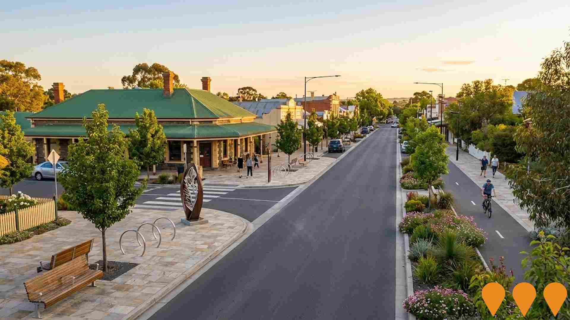
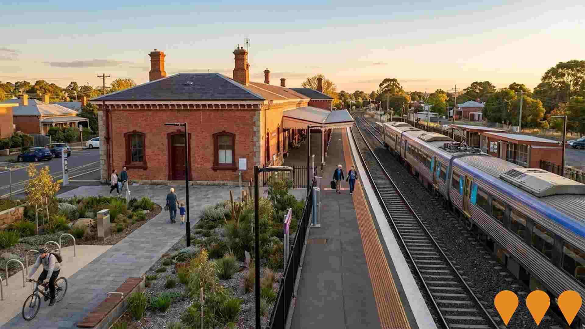
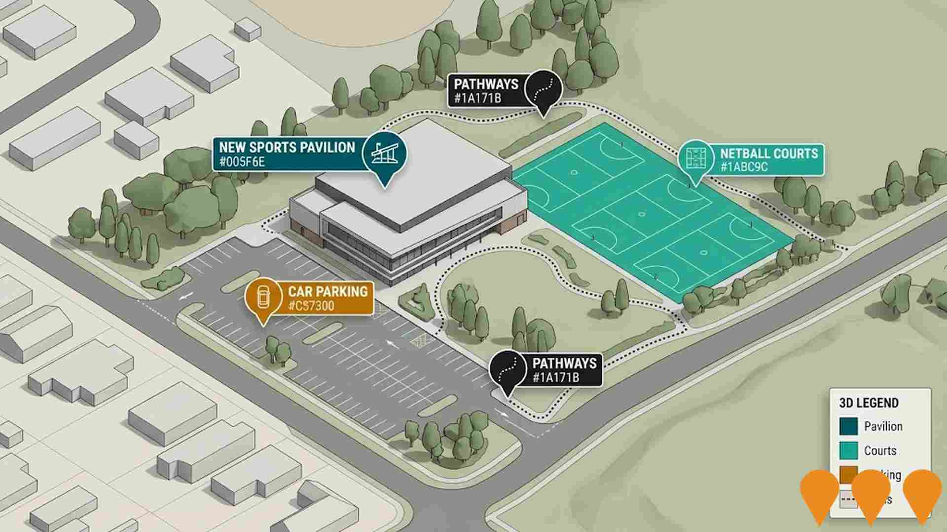
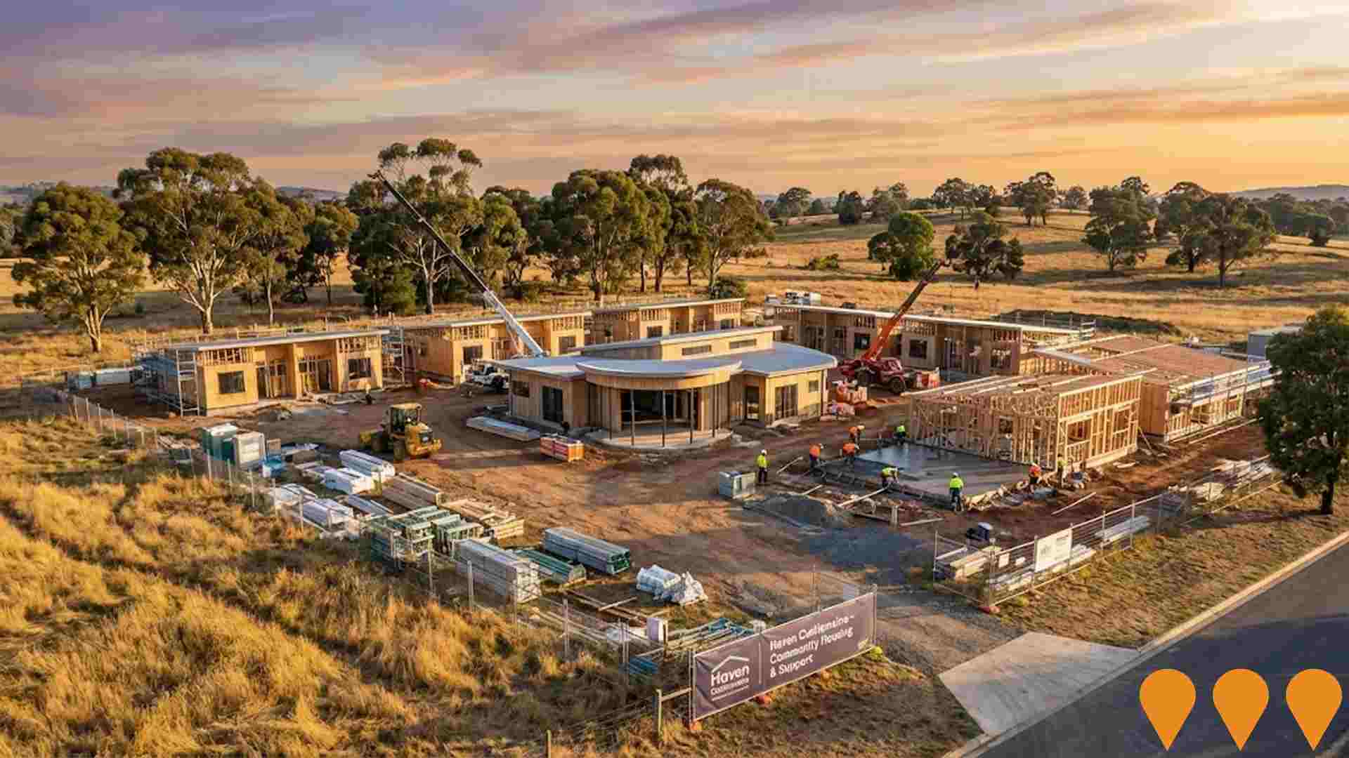
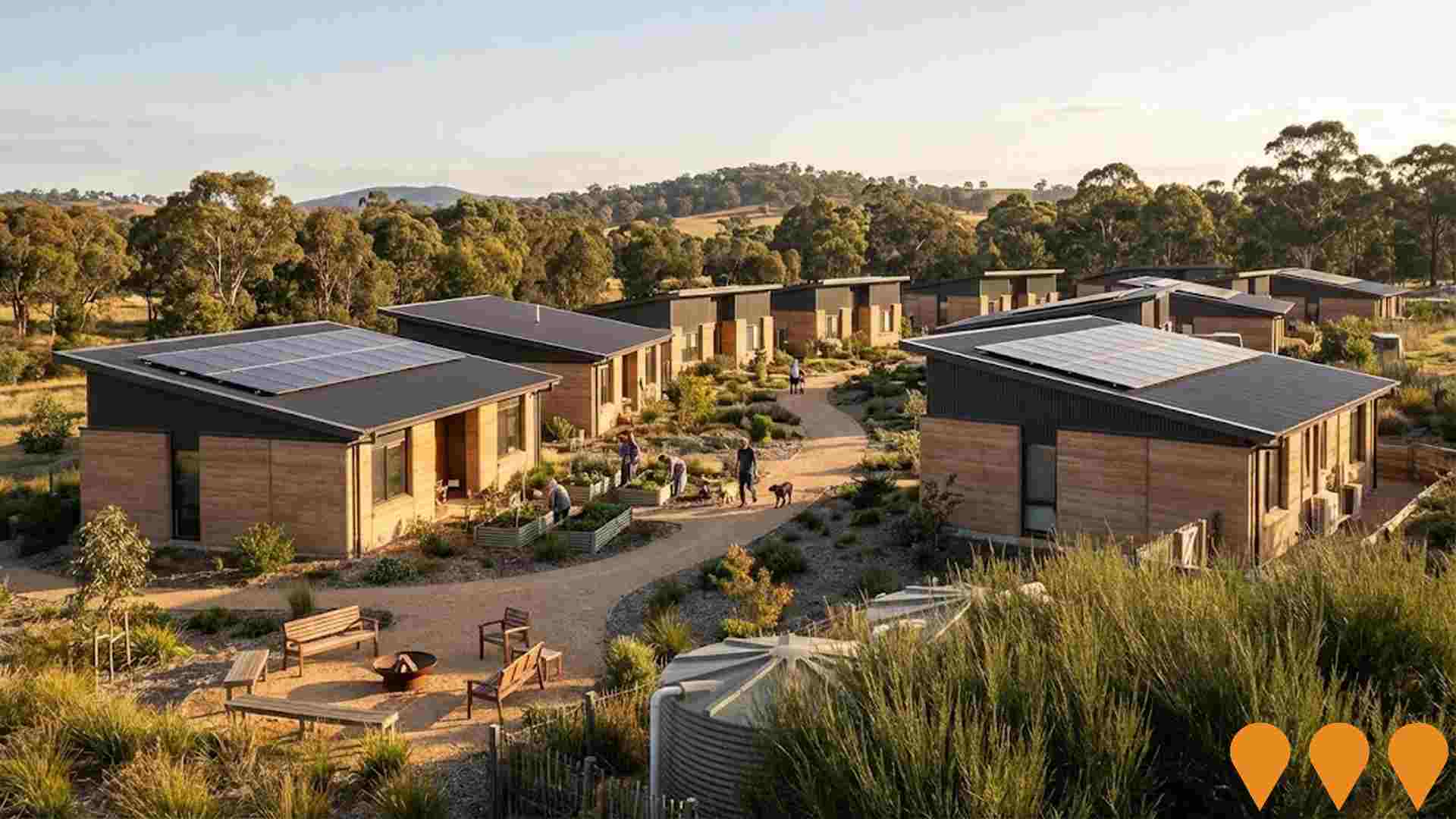
Changes to local infrastructure significantly influence an area's performance. AreaSearch has identified 28 projects likely impacting the area. Notable projects include Haven Castlemaine, Levee Banks Project, Frederick Street Precinct Project, and Castlemaine Water Reclamation Plant Upgrade. The following list details those expected to be most relevant.
Professional plan users can use the search below to filter and access additional projects.
INFRASTRUCTURE SEARCH
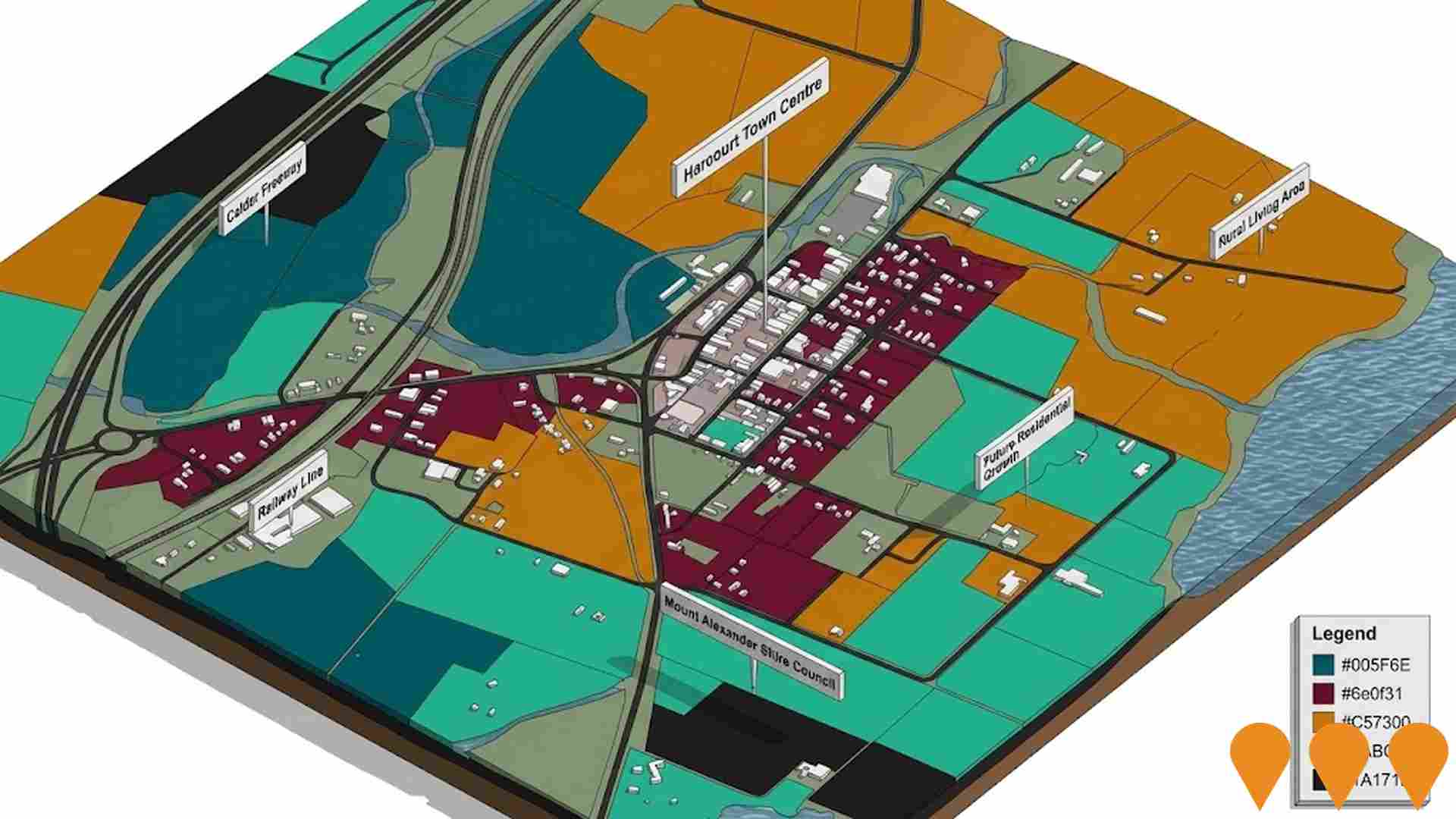
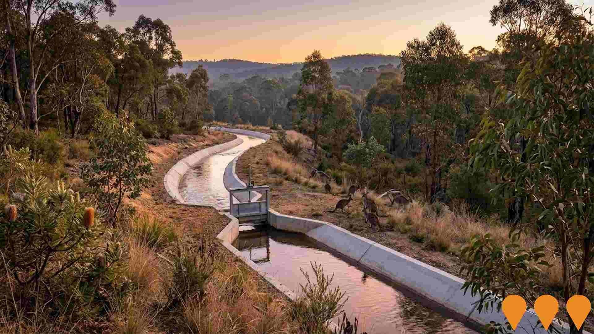
 Denotes AI-based impression for illustrative purposes only, not to be taken as definitive under any circumstances. Please follow links and conduct other investigations from the project's source for actual imagery. Developers and project owners wishing us to use original imagery please Contact Us and we will do so.
Frequently Asked Questions - Infrastructure
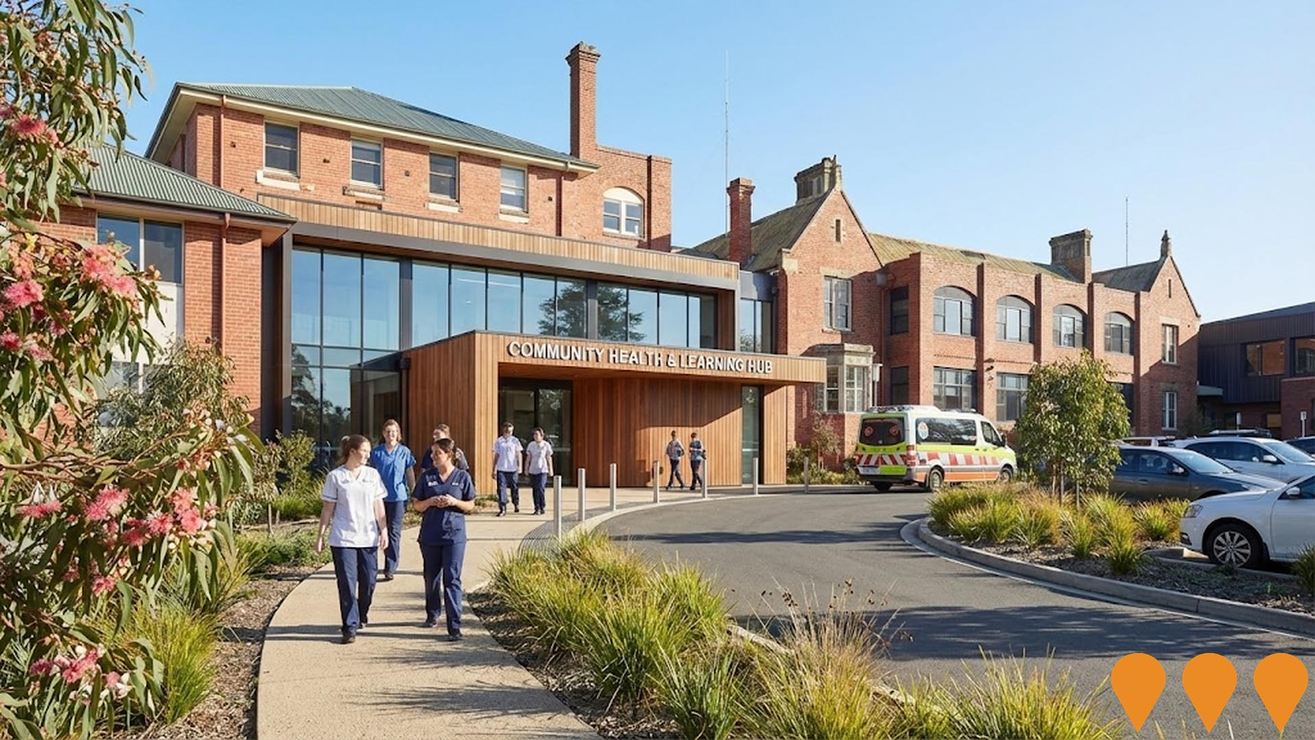
Community Health and Learning Hub
A renovated hospital wing at Dhelkaya Health in Castlemaine, providing state-of-the-art training facilities for health services qualifications including allied health, nursing, and aged care. It features simulation spaces for healthcare, residential aged care, and home care environments, supporting up to 60 students simultaneously and offering direct pathways to local employment.
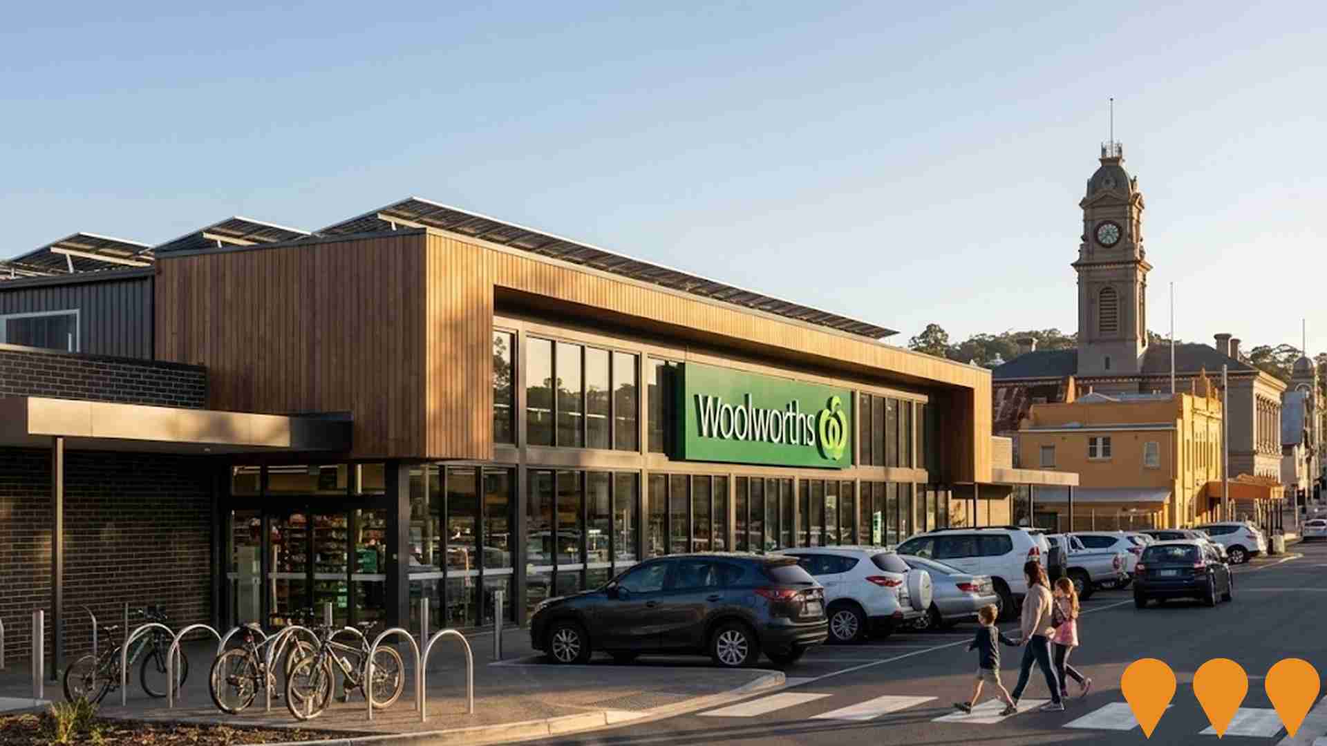
Castlemaine Woolworths Supermarket
Development of a full-line supermarket and retail facility on the former gas works site, including environmentally sustainable design elements like electric car charging, solar panels, water management, bicycle tracks, pedestrian crossing, and signalised intersection. The store officially opened on June 6, 2025.
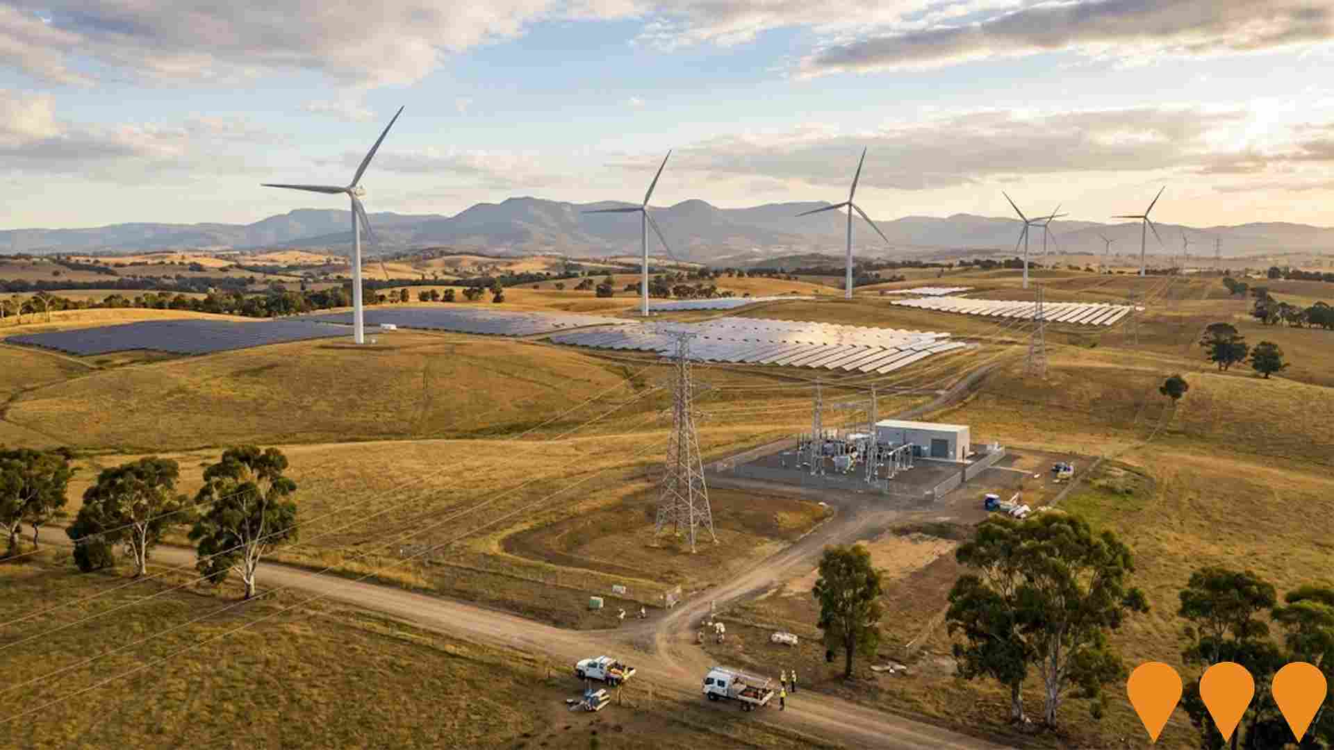
Victorian Renewable Energy Zones
VicGrid, a Victorian Government agency, is coordinating the planning and staged declaration of six proposed onshore Renewable Energy Zones (plus a Gippsland shoreline zone to support offshore wind). The 2025 Victorian Transmission Plan identifies the indicative REZ locations, access limits and the transmission works needed to connect new wind, solar and storage while minimising impacts on communities, Traditional Owners, agriculture and the environment. Each REZ will proceed through a statutory declaration and consultation process before competitive allocation of grid access to projects.
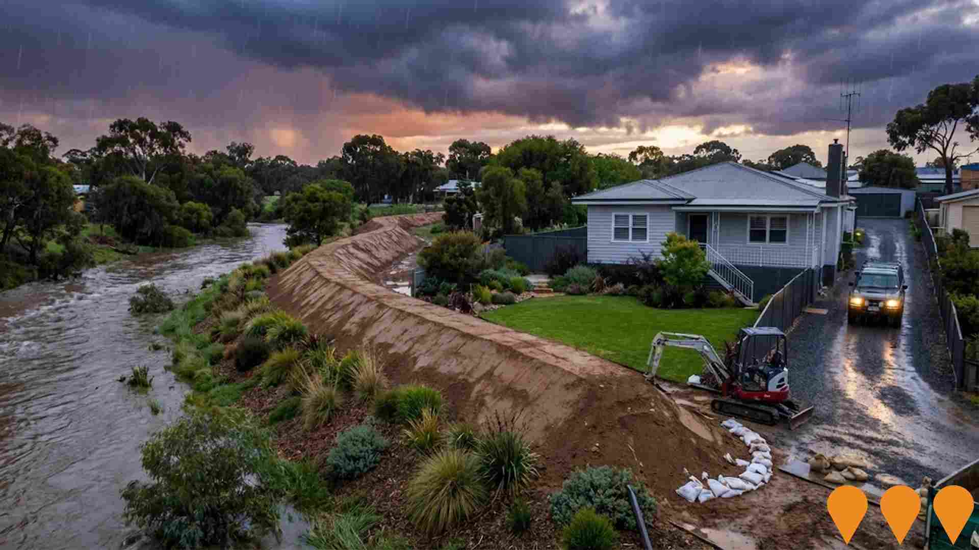
Levee Banks Project
The project involves constructing six levee banks and undertaking waterway improvements to protect homes, businesses, roads, and footpaths from flooding in vulnerable areas such as Campbells Creek, Chewton, and Castlemaine. Current progress includes construction of the National School Lane levee started in July 2025, expected to finish in late September 2025, with ongoing investigations and designs for other levees.
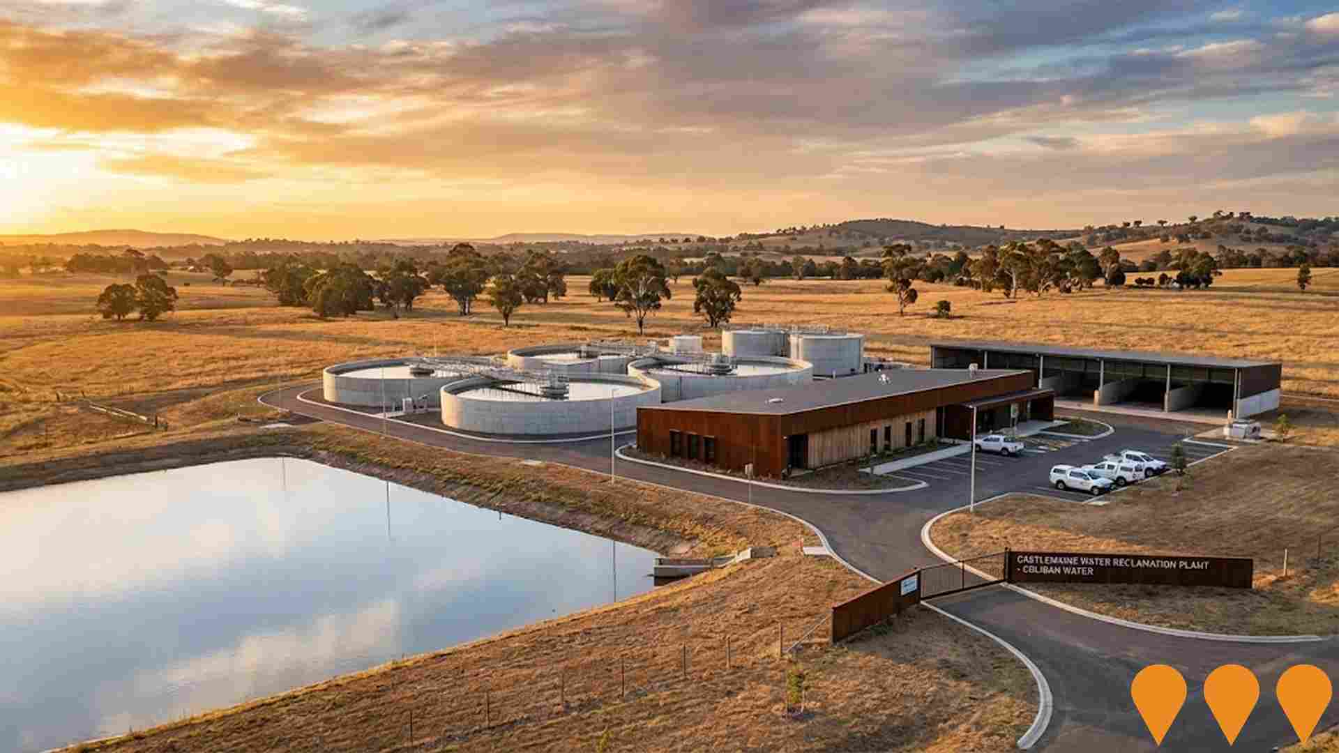
Castlemaine Water Reclamation Plant Upgrade
Coliban Water is progressing approvals to deliver a once-in-a-generation upgrade to the Castlemaine Water Reclamation Plant. The project proposes a new water reclamation facility and a new biosolids handling treatment within the existing Langslow Street site, improving treatment capacity, reducing odour and noise, and increasing opportunities for recycled water and biosolids reuse for Castlemaine, Chewton, Newstead, Maldon and Harcourt.
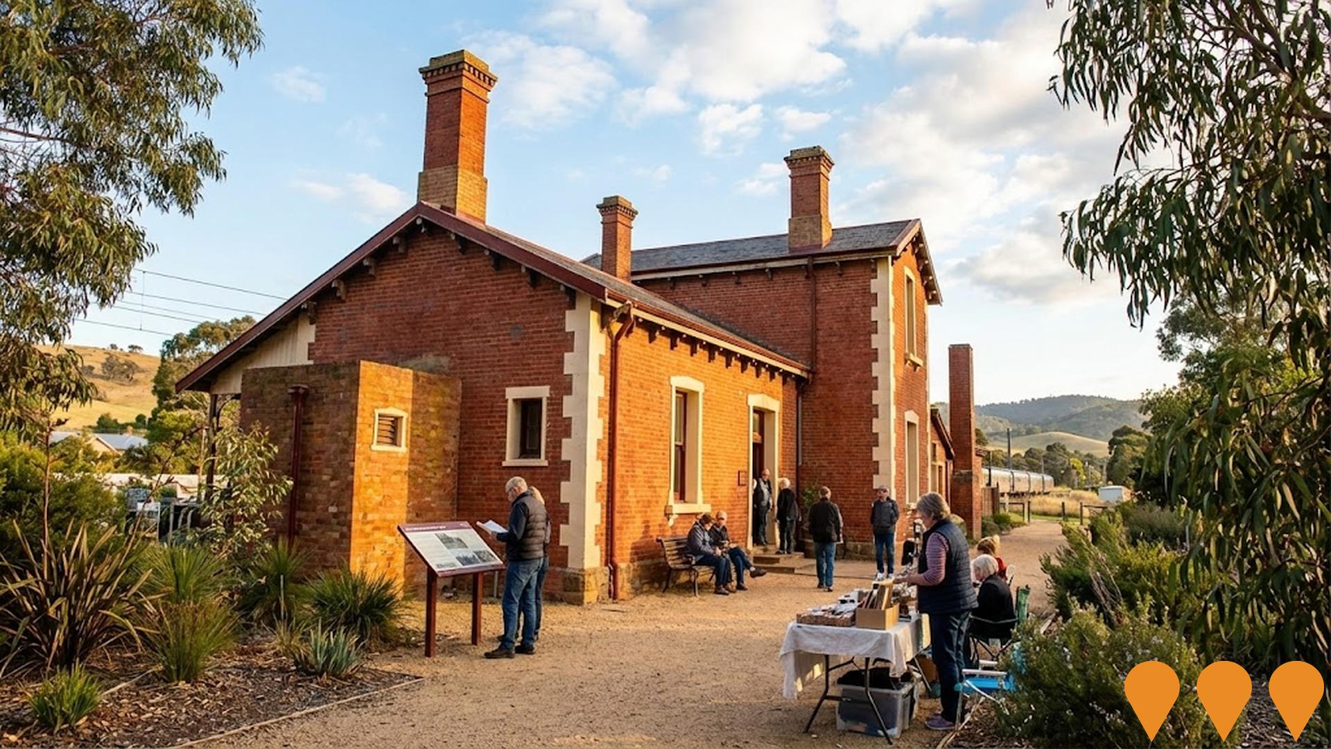
Old Harcourt Railway Station Restoration
Restoration of the historic Harcourt Railway Station building to return it to community use. Works were delivered under VicTrack's Community Use of Vacant Rail Buildings program with practical completion in 2022. The building is now used as the Harcourt Valley Community House, providing meeting rooms, training and performance spaces managed locally in partnership with Mount Alexander Shire Council and the Harcourt Progress Association.
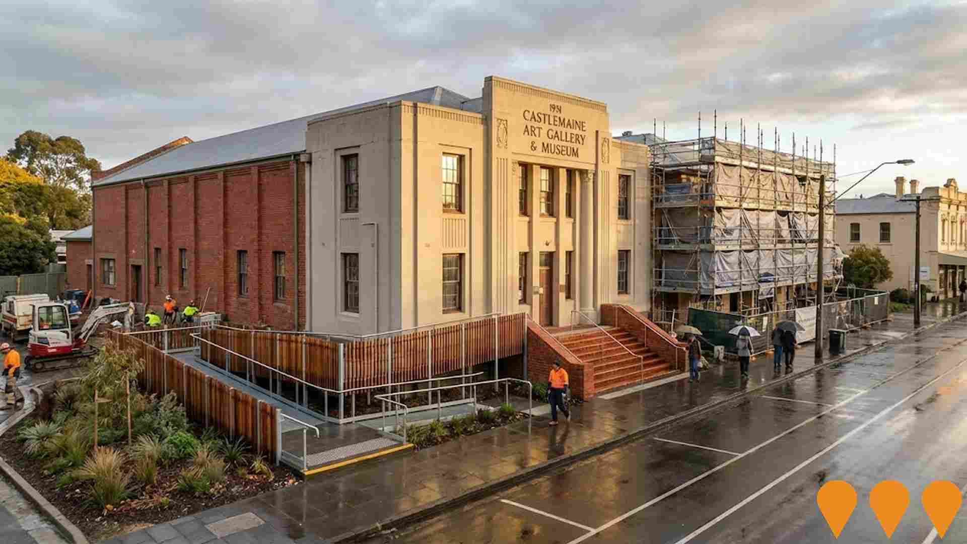
Castlemaine Art Museum Redevelopment
Redevelopment of the heritage-listed 1931 building to improve all-abilities access, safeguard heritage elements, and implement critical building improvements for sustainable operations and access to touring exhibitions.
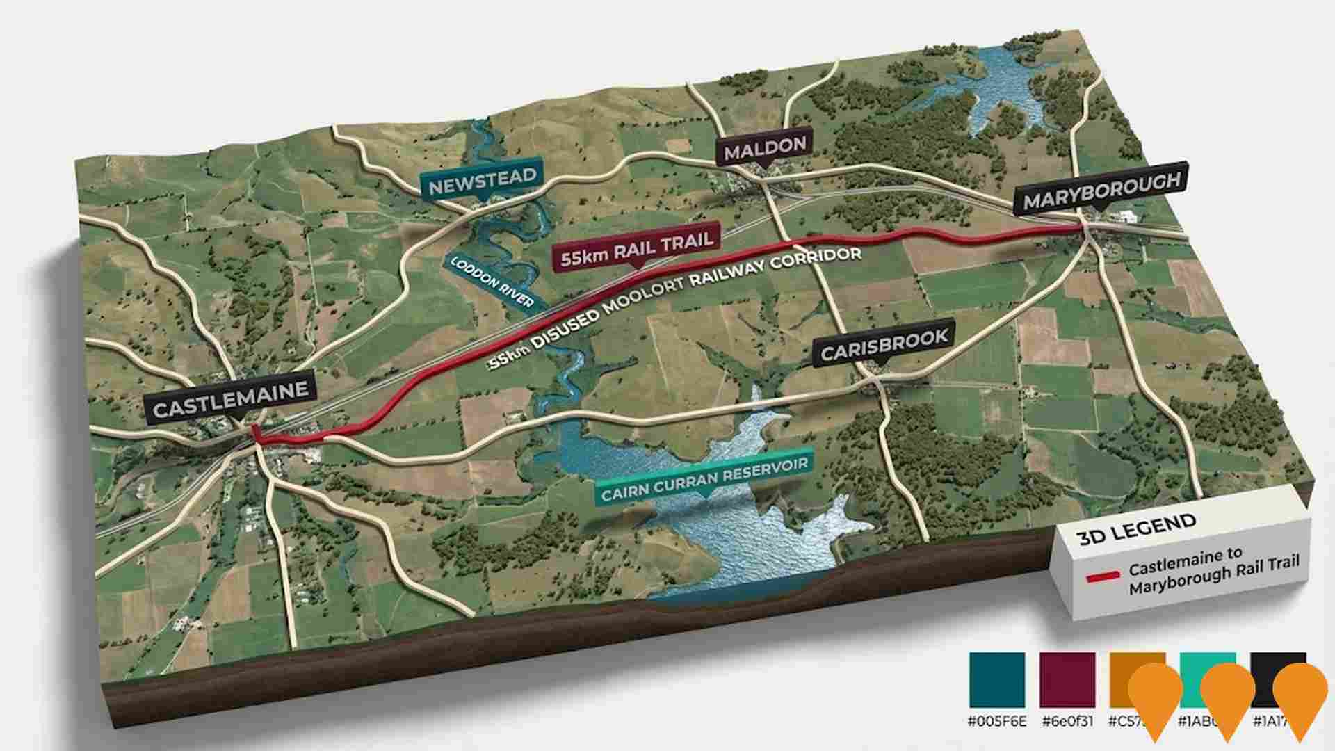
Castlemaine Maryborough Rail Trail
A proposed 55km rail trail linking the goldfields towns of Castlemaine and Maryborough, following the disused Moolort railway line. The project is in the pre-construction phase after completing the feasibility study in 2023, with funding secured for detailed planning and design to achieve shovel-ready status by January 2026. It aims to promote cycling, walking, horse-riding, and tourism through scenic landscapes including volcanic plains, the Loddon River, Cairn Curran Reservoir, and wetlands.
Employment
Employment performance in Castlemaine Surrounds exceeds national averages across key labour market indicators
Castlemaine Surrounds has an educated workforce with a low unemployment rate of 3.0% as of September 2025. The area's employment growth over the past year was estimated at 2.5%.
There are 4,558 residents in work, with an unemployment rate of 0.8% below Rest of Vic.'s rate of 3.8%, and workforce participation is somewhat lower at 54.3%. The dominant employment sectors include health care & social assistance, construction, and education & training. Professional & technical services have a notable concentration, with employment levels at 1.4 times the regional average. However, accommodation & food services are under-represented at 4.6% compared to Rest of Vic.'s 6.9%.
The area offers limited local employment opportunities based on Census data analysis. Over the past year, ending September 2025, employment increased by 2.5%, while labour force increased by 2.8%, causing a rise in unemployment rate by 0.4 percentage points. In contrast, Rest of Vic. saw employment decline by 0.7% and labour force decline by 0.6%. State-level data to 25-Nov-25 shows VIC employment grew by 1.13% year-on-year, with the state unemployment rate at 4.7%, compared to the national rate of 4.3%. Jobs and Skills Australia's national employment forecasts from May-25 suggest Castlemaine Surrounds' employment should increase by 6.1% over five years and 13.1% over ten years, based on industry-specific projections applied to the local employment mix.
Frequently Asked Questions - Employment
Income
Income figures position the area below 75% of locations analysed nationally by AreaSearch
The Castlemaine Surrounds SA2 had a median taxpayer income of $45,672 and an average income of $59,612 in the financial year 2022, according to postcode level ATO data aggregated by AreaSearch. This is lower than the national averages for median ($48,741) and average incomes ($60,693). By September 2025, estimated median income would be approximately $51,226 and average income $66,861, based on a 12.16% growth in wages since the financial year 2022. Census data indicates that incomes in Castlemaine Surrounds fall between the 21st and 22nd percentiles nationally for households, families, and individuals. The $1,500 - 2,999 earnings band includes 28.8% of the community (2,872 individuals), which is consistent with broader trends in the area showing 30.3% in the same category. Despite modest housing costs allowing for 88.1% income retention, total disposable income ranks at just the 27th percentile nationally. The area's SEIFA income ranking places it in the 5th decile.
Frequently Asked Questions - Income
Housing
Castlemaine Surrounds is characterized by a predominantly suburban housing profile, with above-average rates of outright home ownership
The dwelling structure in Castlemaine Surrounds, as per the latest Census, consisted of 98.7% houses and 1.2% other dwellings (semi-detached, apartments, 'other' dwellings), compared to Non-Metro Vic.'s 95.2% houses and 4.8% other dwellings. Home ownership in Castlemaine Surrounds stood at 52.5%, with mortgaged dwellings at 38.9% and rented ones at 8.6%. The median monthly mortgage repayment was $1,473, below Non-Metro Vic.'s average of $1,600. The median weekly rent figure was $280, compared to Non-Metro Vic.'s $320. Nationally, Castlemaine Surrounds' mortgage repayments were significantly lower than the Australian average of $1,863, while rents were substantially below the national figure of $375.
Frequently Asked Questions - Housing
Household Composition
Castlemaine Surrounds has a typical household mix, with a lower-than-average median household size
Family households constitute 67.6% of all households, including 23.3% couples with children, 35.6% couples without children, and 8.0% single parent families. Non-family households comprise the remaining 32.4%, with lone person households at 29.9% and group households making up 2.4%. The median household size is 2.2 people, which is smaller than the Rest of Vic average of 2.4.
Frequently Asked Questions - Households
Local Schools & Education
The educational profile of Castlemaine Surrounds exceeds national averages, with above-average qualification levels and academic performance metrics
The area's university qualification rate of 31.5%, among residents aged 15+, exceeds the Rest of Vic average of 21.7% and the SA4 region's rate of 25.4%. Bachelor degrees are most prevalent at 18.7%, followed by postgraduate qualifications (7.7%) and graduate diplomas (5.1%). Vocational credentials are held by 35.9% of residents aged 15+, with advanced diplomas at 12.3% and certificates at 23.6%. Educational participation is high, with 25.3% currently enrolled in formal education: 9.2% in primary, 7.6% in secondary, and 3.3% in tertiary education.
Educational participation is notably high, with 25.3% of residents currently enrolled in formal education. This includes 9.2% in primary education, 7.6% in secondary education, and 3.3% pursuing tertiary education.
Frequently Asked Questions - Education
Schools Detail
Nearby Services & Amenities
Transport
Transport servicing is very low compared to other areas nationally based on assessment of service frequency, route connectivity and accessibility
Transport analysis shows 32 active transport stops within Castlemaine Surrounds, consisting of buses. These stops are served by 13 individual routes, offering a total of 182 weekly passenger trips. Transport accessibility is limited, with residents usually located 1127 meters from the nearest stop.
Service frequency averages 26 trips per day across all routes, equating to approximately 5 weekly trips per stop.
Frequently Asked Questions - Transport
Transport Stops Detail
Health
Health performance in Castlemaine Surrounds is well below average with prevalence of common health conditions notable across both younger and older age cohorts
Castlemaine Surrounds faces significant health challenges, with common conditions prevalent across both younger and older age groups. Private health cover stands at approximately 50%, covering around 4,937 people, compared to Victoria's 52.9% and the national average of 55.3%. The most frequent medical issues are arthritis (11.3%) and mental health problems (9.6%), with 61.6% reporting no ailments, slightly lower than Rest of Vic.'s 63.4%.
The area has a higher proportion of seniors aged 65 and over, at 29.0% or 2,890 people, compared to Victoria's 24.9%. Despite this, health outcomes among seniors are above average, outperforming the general population in health metrics.
Frequently Asked Questions - Health
Cultural Diversity
Castlemaine Surrounds is considerably less culturally diverse than average when assessed alongside AreaSearch's national rankings for language and cultural background related metrics
Castlemaine Surrounds, surveyed in 2016, had a below average cultural diversity index of 59.9. Its population was predominantly Australian-born citizens speaking English at home: 90.1%, 87.7%, and 97.1% respectively. Christianity was the major religion, comprising 34.4%.
Notably, Judaism was slightly overrepresented at 0.3% compared to 0.2% regionally. In terms of ancestry, the top groups were English (32.5%), Australian (27.8%), and Irish (11.6%). Some ethnic groups showed notable differences: Scottish (10.3% vs 10.1%), Hungarian (0.4% vs 0.3%), and Dutch (1.7% vs 1.4%) were relatively more common in Castlemaine Surrounds compared to the regional averages.
Frequently Asked Questions - Diversity
Age
Castlemaine Surrounds ranks among the oldest 10% of areas nationwide
The median age in Castlemaine Surrounds is 52 years, which is significantly higher than Rest of Vic.'s average of 43 years and well above the national norm of 38 years. The 65-74 age cohort is notably over-represented in Castlemaine Surrounds at 18.1%, compared to the Rest of Vic.'s average, while the 25-34 year-olds are under-represented at 7.5%. This concentration of the 65-74 cohort is well above the national average of 9.4%. Between 2021 and present, the 15 to 24 age group has increased from 7.9% to 8.8% of the population. Conversely, the 55 to 64 age cohort has declined from 19.0% to 17.4%. Population forecasts for 2041 indicate substantial demographic changes in Castlemaine Surrounds. The 25-34 age group is projected to grow by 10%, adding 75 residents to reach a total of 820. In contrast, population declines are projected for the 75-84 and 0-4 age groups.
