Chart Color Schemes
This analysis uses Suburbs and Localities (SAL) boundaries, which can materially differ from Statistical Areas (SA2) even when sharing the same name.
SAL boundaries are defined by Australia Post and the Australian Bureau of Statistics to represent commonly-known suburb names used in postal addresses.
Statistical Areas (SA2) are designed for census data collection and may combine multiple suburbs or use different geographic boundaries. For comprehensive analysis, consider reviewing both boundary types if available.
est. as @ -- *
2021 Census | -- people







Curious about local property values? Filter the chart to assess the volume and appreciation (including resales) trends and regional comparisons, or scroll to the map below view this information at an individual property level.
Find a Recent Sale

Sales Detail
McKinnon has an estimated 7,699 residents, up from 6,878 at the 2021 Census — a change of 821 people, or 11.9%. Growth has averaged 1.8% a year over five years, faster than 77% of areas nationally. 123 new addresses have been validated here since Census night. Overseas migration accounts for 88.0% of that increase. That puts 4,873 residents on each square kilometre. Population is estimated from ABS Estimated Resident Population releases and GNAF address data, re-based from the 2021 Census and updated annually.
Detail
According to AreaSearch's evaluation of broader ABS demographic releases alongside new addresses validated following the Census, the suburb of McKinnon has reached an estimated resident total of approximately 7,699 as of Aug 2026. This represents an expansion of 821 people (11.9%) relative to the 2021 Census, when the count stood at 6,878 people. The revision stems from an estimated population of 7,673 determined by AreaSearch following the latest ABS ERP release (June 2025), coupled with 123 validated new addresses recorded post-Census. Consequently, population density stands at 4,872 persons per square kilometer, placing the suburb within the top 10% of areas evaluated nationally by AreaSearch and highlighting the intense demand for local land.
The suburb of McKinnon's 11.9% post-2021 census growth outpaced both the broader SA4 region (8.2%) and Victoria as a whole, establishing it as a regional growth frontrunner. Net overseas migration served as the primary growth catalyst, generating roughly 88.0% of recent population additions. Projections utilised by AreaSearch incorporate ABS/Geoscience Australia figures released in 2024 (benchmarked to 2022). Where specific SA2 areas lack coverage, AreaSearch integrates 2023 VIC State Government Regional/LGA projections using weighted LGA-to-SA2 aggregation methods, applying age-cohort growth rates across all localities from 2032 to 2041. Over the long term, the suburb of McKinnon is slated to experience above median population growth relative to Australian statistical benchmarks. Aggregated SA2 modelling indicates the suburb will expand by 1,569 persons by 2041, representing a cumulative increase of 20.0% across the 16 years.
Frequently Asked Questions - Population
209 new dwellings have been approved in McKinnon over the past five years, an average of 41 a year. That places the area in the 73rd percentile for residential development activity nationally, about 5 approvals per 1,000 residents a year. Of the 41 dwellings approved in the latest reporting year, 29% were detached houses and the rest townhouses or apartments. Approvals are currently running at an annualised 42, broadly in line with that longer-run average. Figures come from ABS building approvals aggregated to this Suburb (SAL) boundary and are updated monthly as the ABS releases them.
Detail
ABS building approval statistics compiled by AreaSearch indicate that McKinnon has maintained an average volume of around 41 new residential approvals annually. Across the past 5 financial years (between FY-21 and FY-25), roughly 209 dwellings were approved, including 42 during FY-25 to date. With an influx averaging 3.1 new residents per year for each dwelling constructed over the past 5 financial years (between FY-21 and FY-25), local housing demand heavily exceeds newly built stock, fostering upward price pressure and buyer competition. Furthermore, the average expected construction cost for new dwellings sits at $821,000, pointing to development activity centered on high-end, premium residential projects.
Commercial approvals recorded this financial year total $6.4 million, underscoring the area's predominantly residential character. On a per-person basis, residential building volumes in McKinnon closely align with Greater Melbourne, maintaining consistency with broader regional activity. Recent building approvals consist of 29.0% detached dwellings alongside 71.0% townhouses or apartments. This pivot toward higher-density stock creates accessible entry points for downsizers, first-home purchasers, and investors, while representing a notable departure from the prevailing housing stock (currently 59.0% houses). Such shifts highlight site scarcity while catering to evolving household preferences and cost pressures. Generating approximately one dwelling approval for every 184 people, McKinnon displays typical growth-corridor characteristics. Longer-term projections from the most recent AreaSearch quarterly release anticipate McKinnon's population expanding by 1,543 residents through to 2041. While ongoing construction activity matches these anticipated gains, prospective purchasers may face heightened competition as the local community enlarges.
Frequently Asked Questions - Development
Development applications around McKinnon
SOURCE: Planning portals and council registers, compiled by AreaSearch. Distance & bearing measured from the suburb midpoint.
AreaSearch tracks one current infrastructure or development project inside McKinnon. A further 126 sit in the immediately surrounding suburbs, taking the tracked pipeline within reach of the area to $52 billion. 27 are already under construction and 37 are due for completion within three years. The pipeline spans residential development, communities, precincts & urban renewal and communities. Records are compiled from Infrastructure Australia, state agencies, council planning portals and public announcements, reviewed and updated daily, then ranked by proximity, construction stage, completion horizon and project scale.
Detail
Major infrastructure developments, planning schemes, and capital works play a central role in driving local performance. AreaSearch has pinpointed 14 distinct projects poised to shape the district. Notable among these initiatives are the East Village Strategic Site - Assemble Build-to-Rent Precinct, Ormond Station Development (Ormond Place), East Village, and the Bentleigh 'Eat-Street' Precinct.
Professional plan users can use the search below to filter and access additional projects.
INFRASTRUCTURE SEARCH
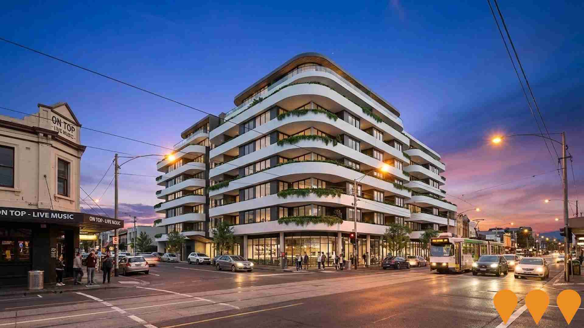
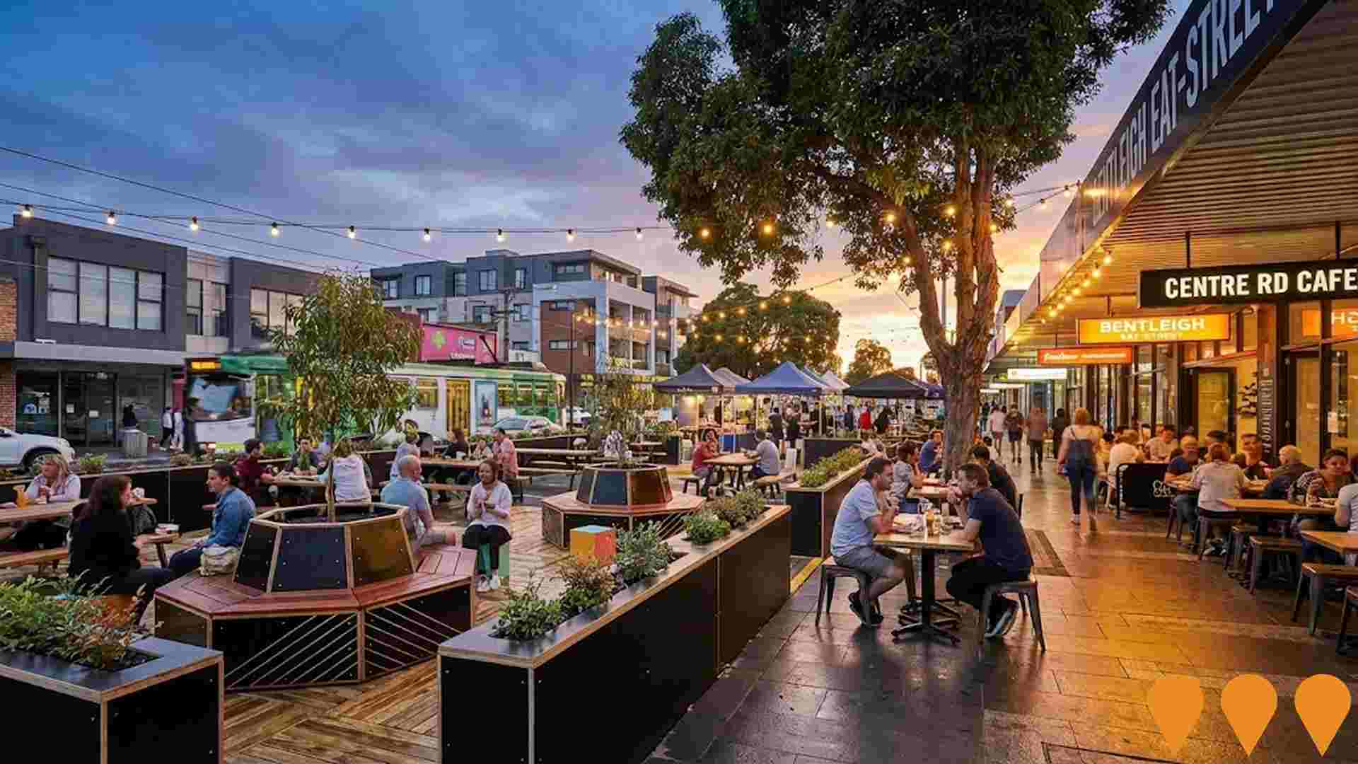
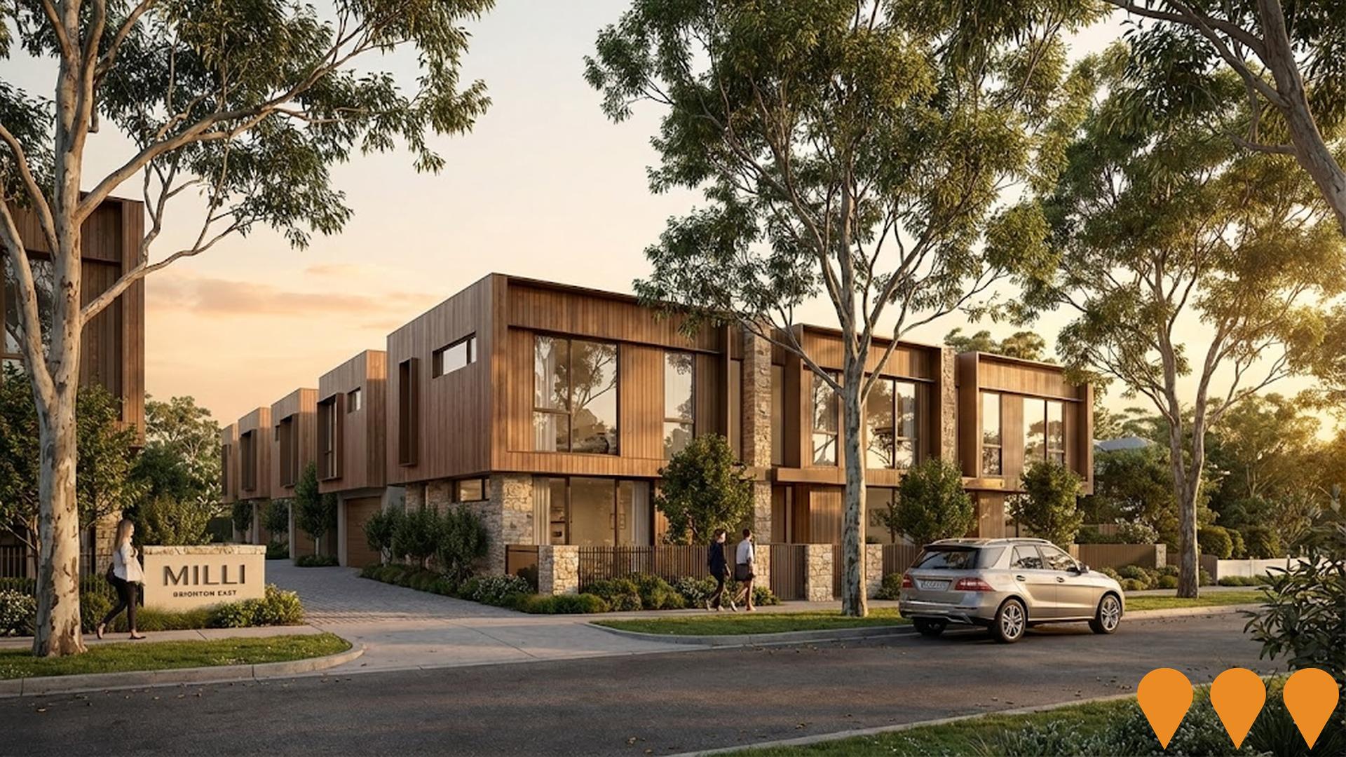
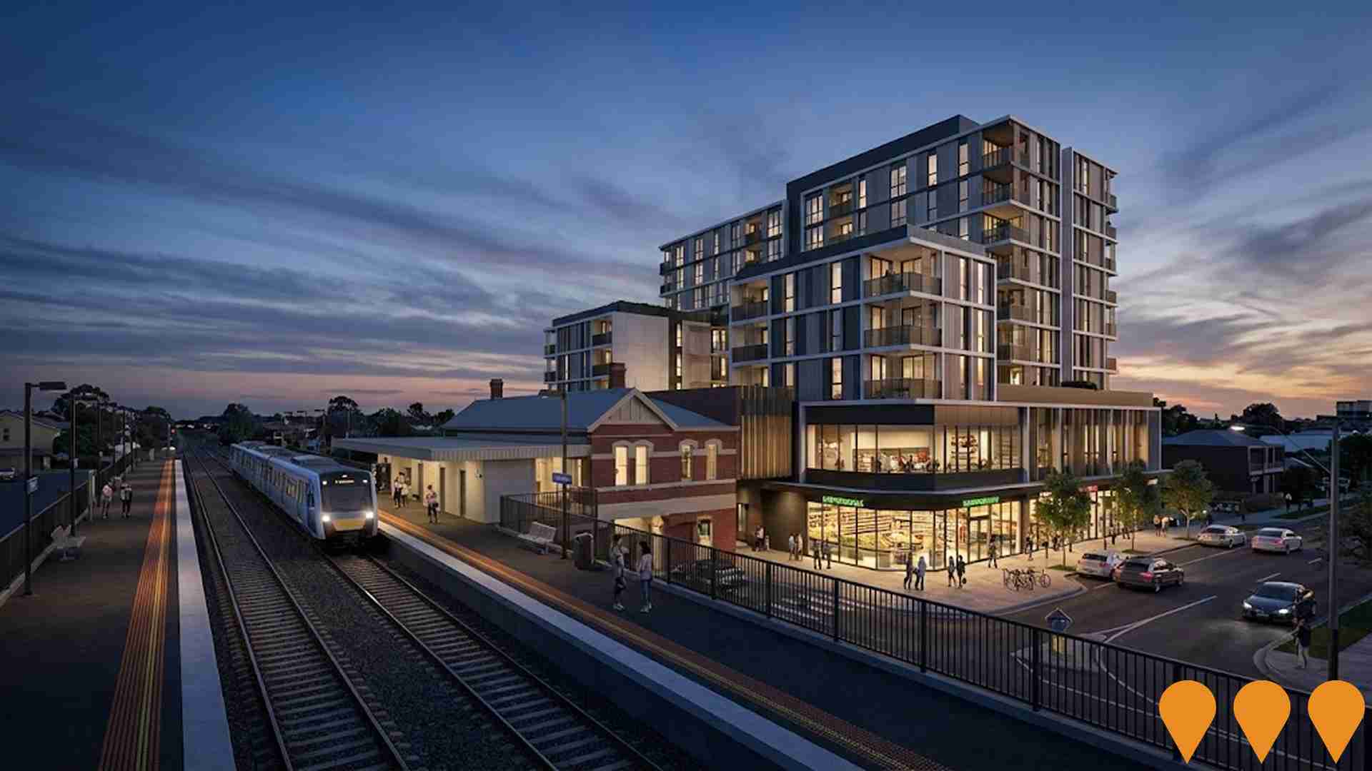
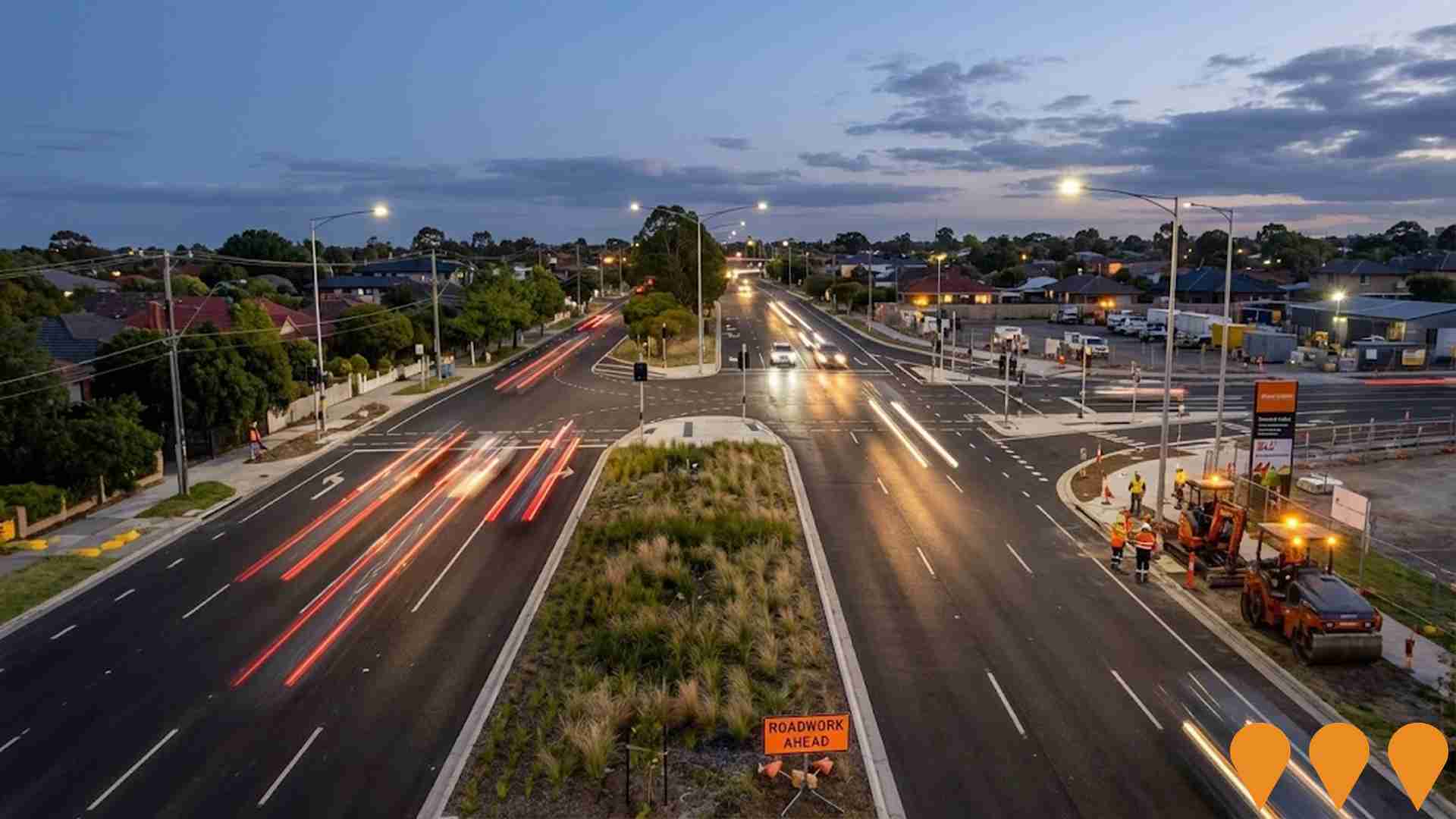
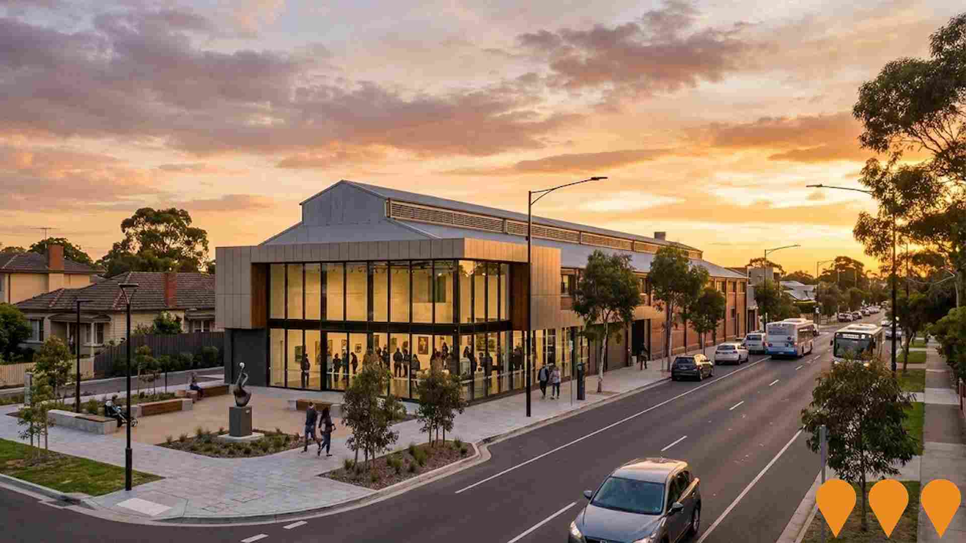
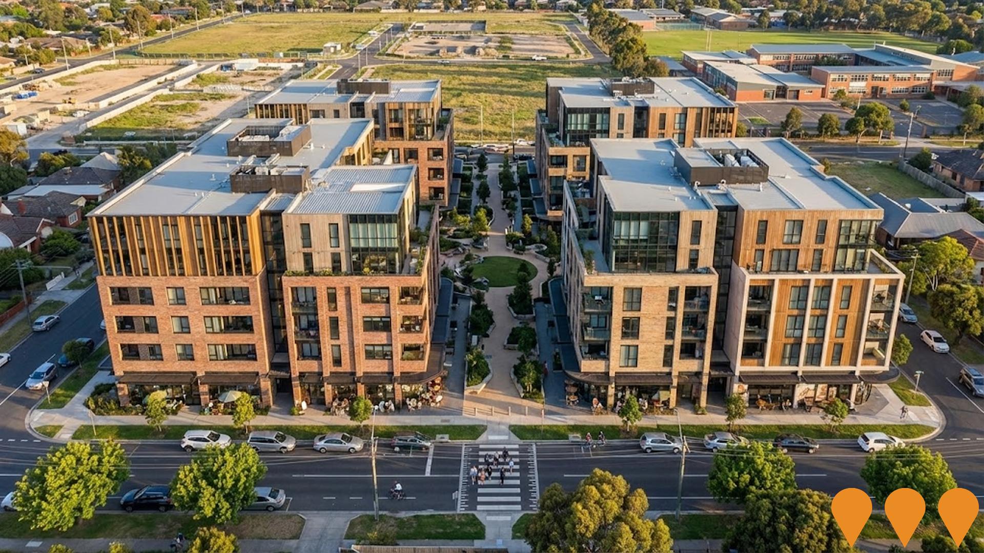
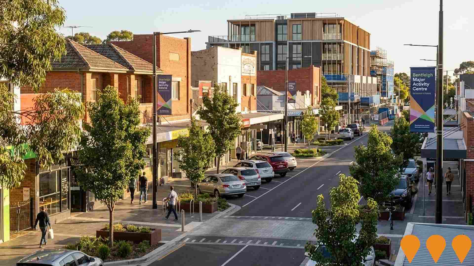
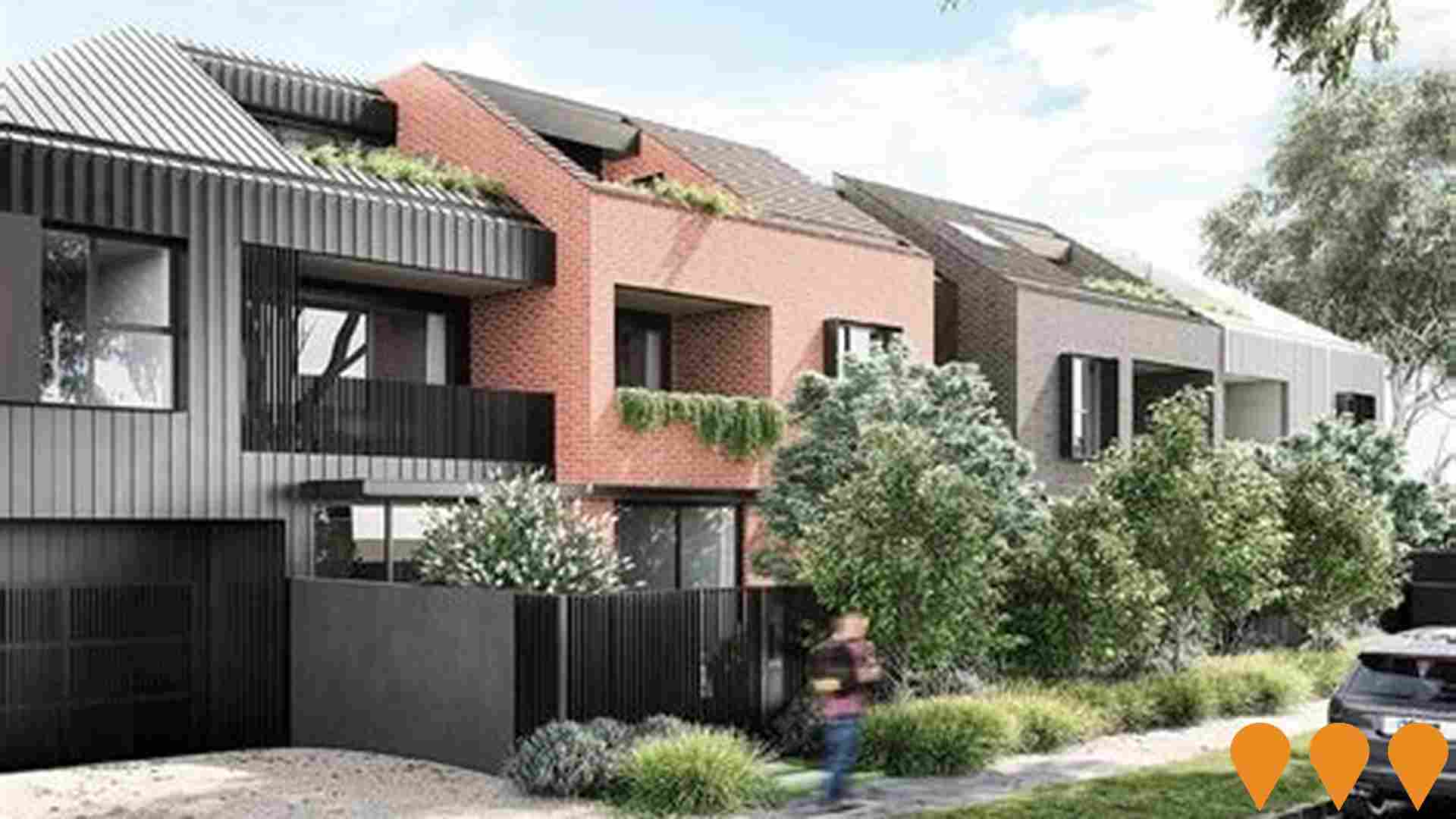
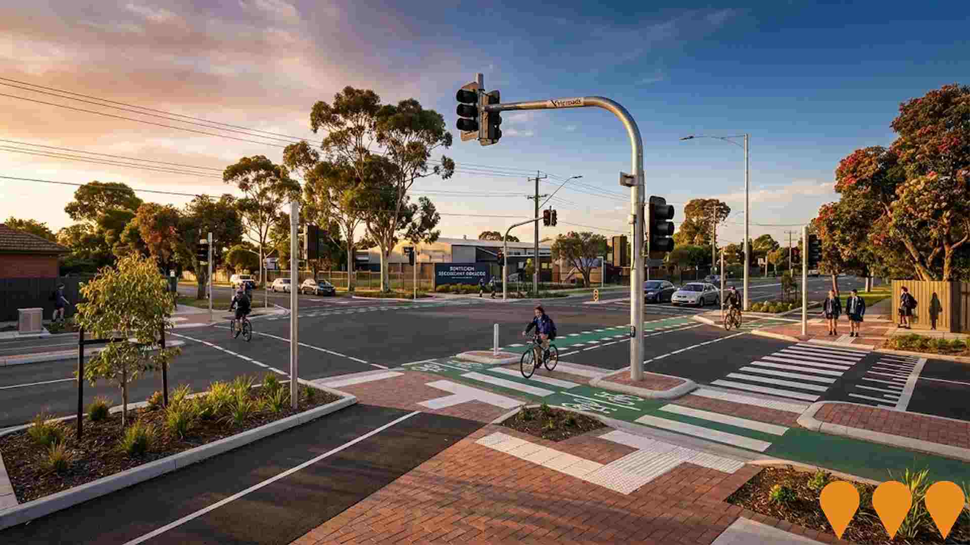
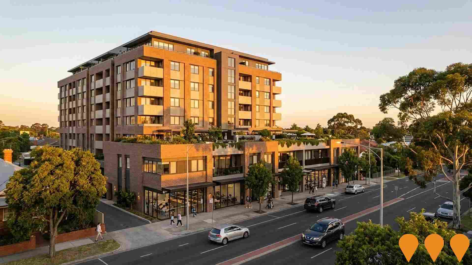
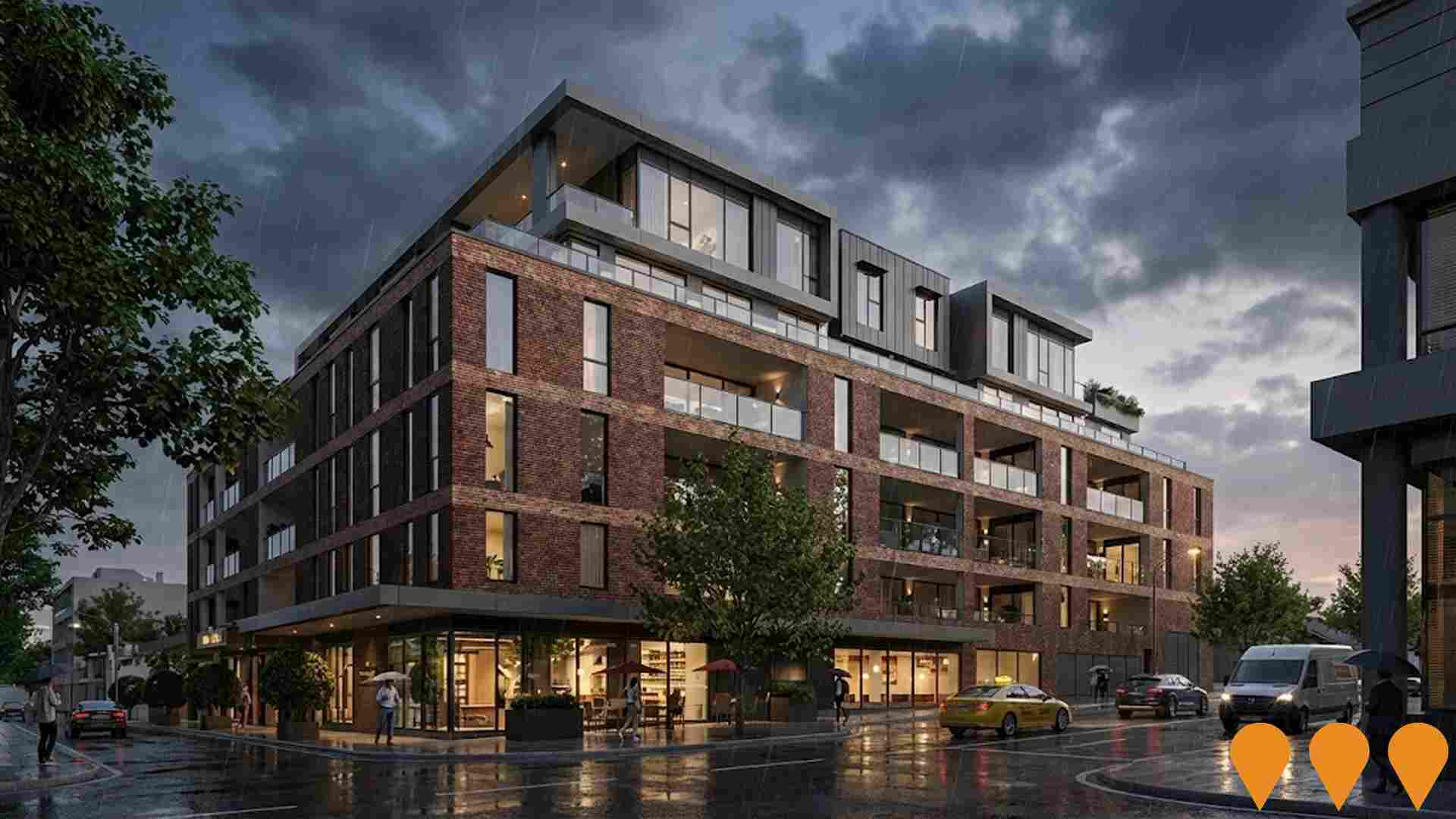
 Denotes AI-based impression for illustrative purposes only, not to be taken as definitive under any circumstances. Please follow links and conduct other investigations from the project's source for actual imagery. Developers and project owners wishing us to use original imagery please Contact Us and we will do so.
Frequently Asked Questions - Infrastructure
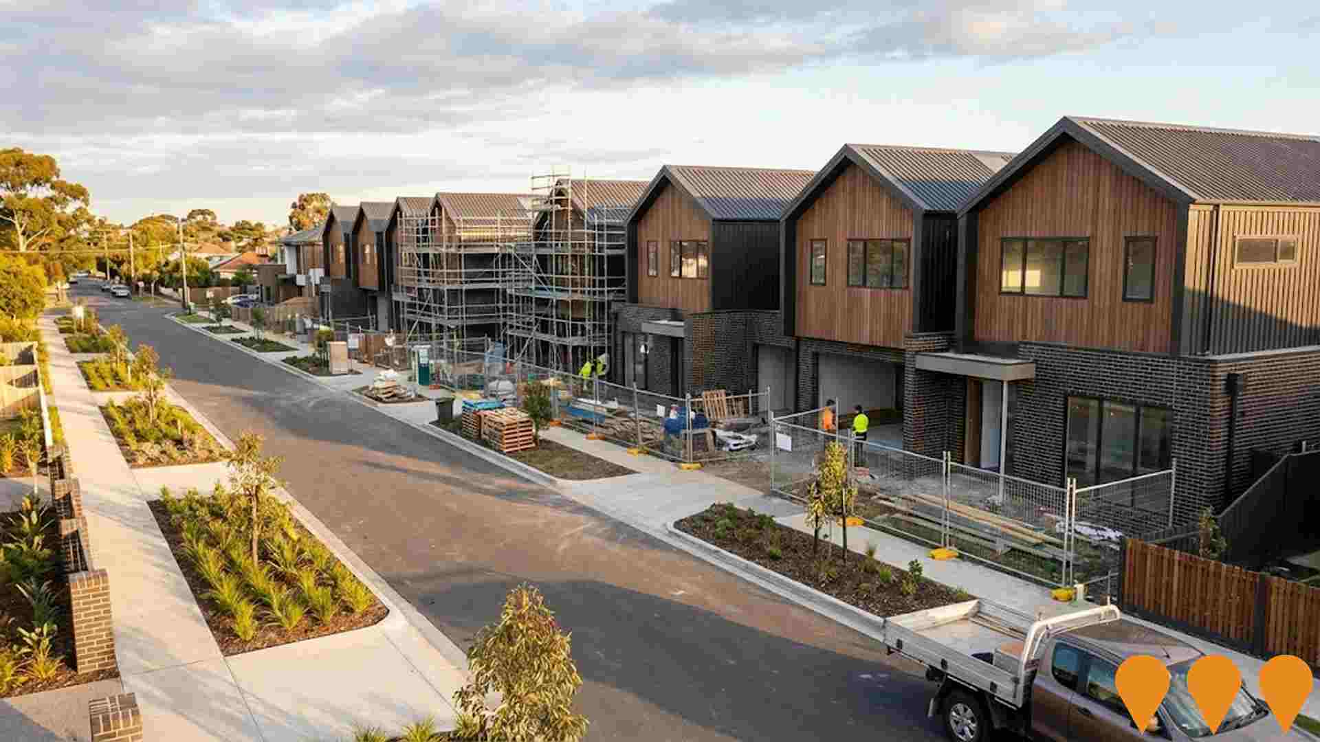
Laurel, Bentleigh (Bentleigh Club Redevelopment)
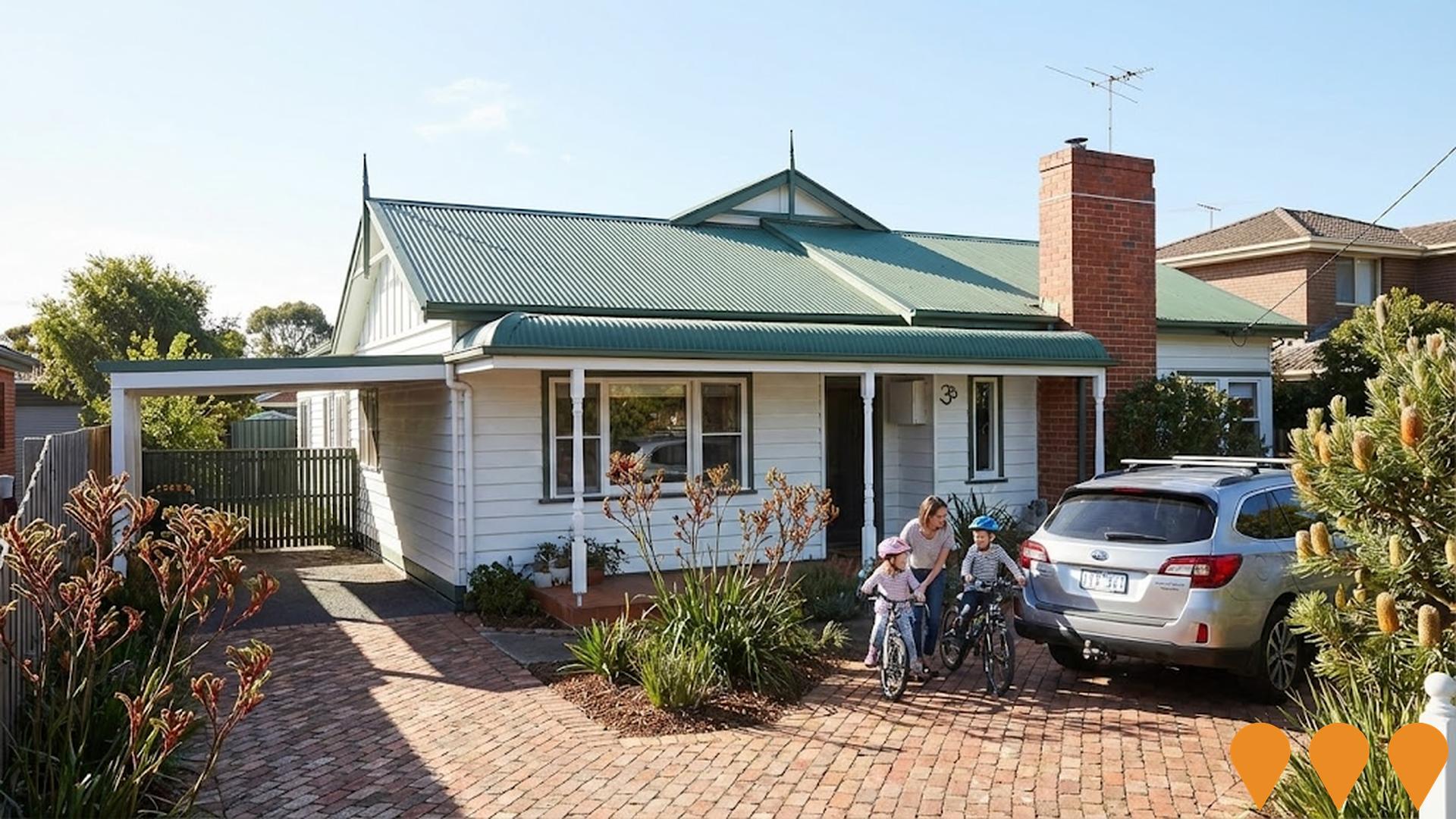
Redevelopment of the former Bentleigh Club site into Laurel, a Metro Property Development townhome project in Bentleigh. Now under construction and nearing completion, the project delivers 35 all-electric family townhomes across 4 and 5 bedroom layouts with two living zones, street frontage, deep backyards, double glazing, 7.5-star NatHERS ratings and 4.4kW solar systems. Architecture is by ClarkeHopkinsClarke with landscapes by MDG Landscape Architects, and the project is marketed by Marshall White Projects. Homes are priced from $1,595,000 with move-in expected in spring 2026.
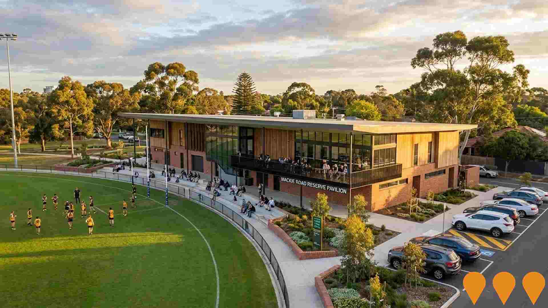
Mackie Road Reserve Pavilion
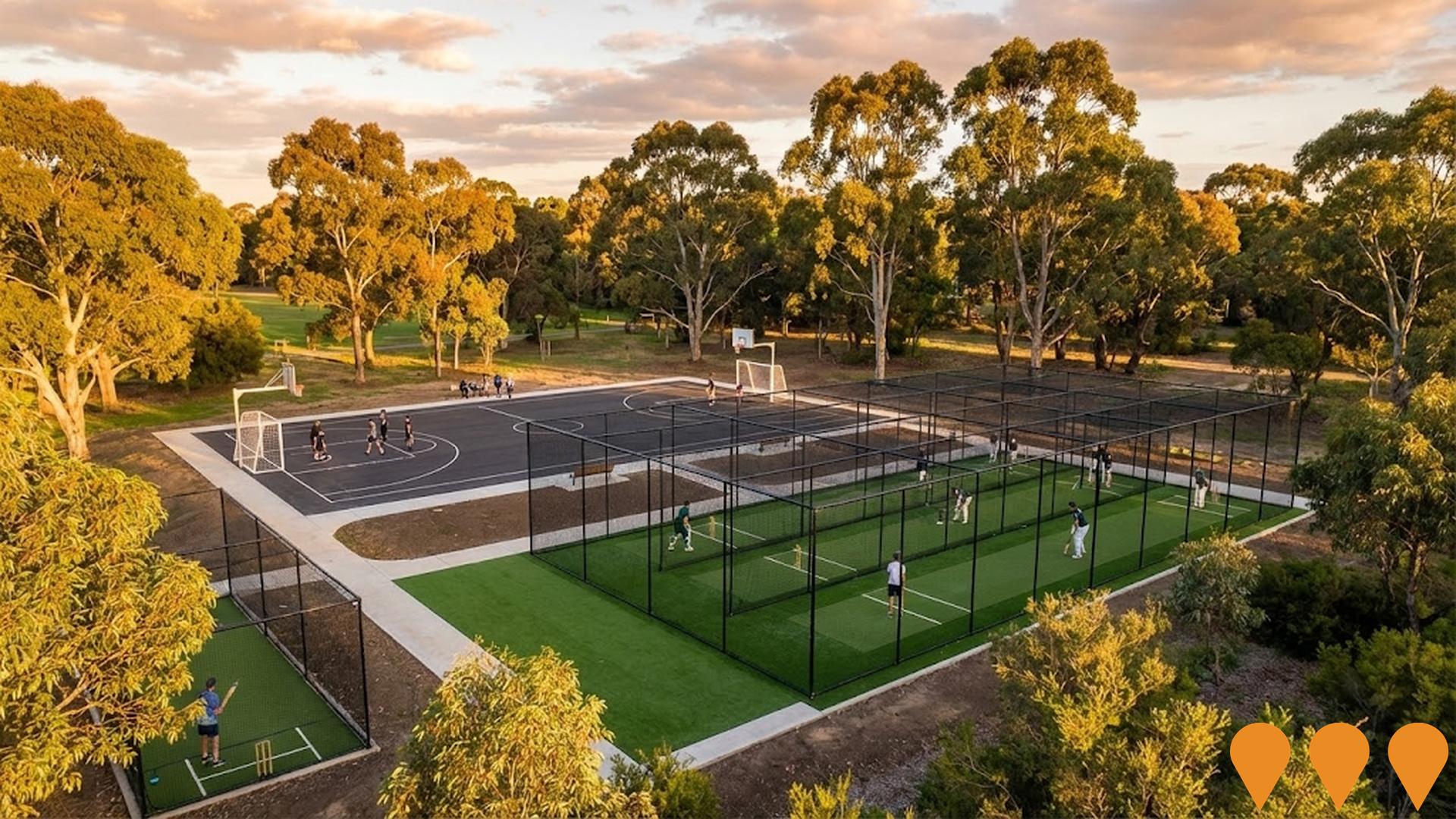
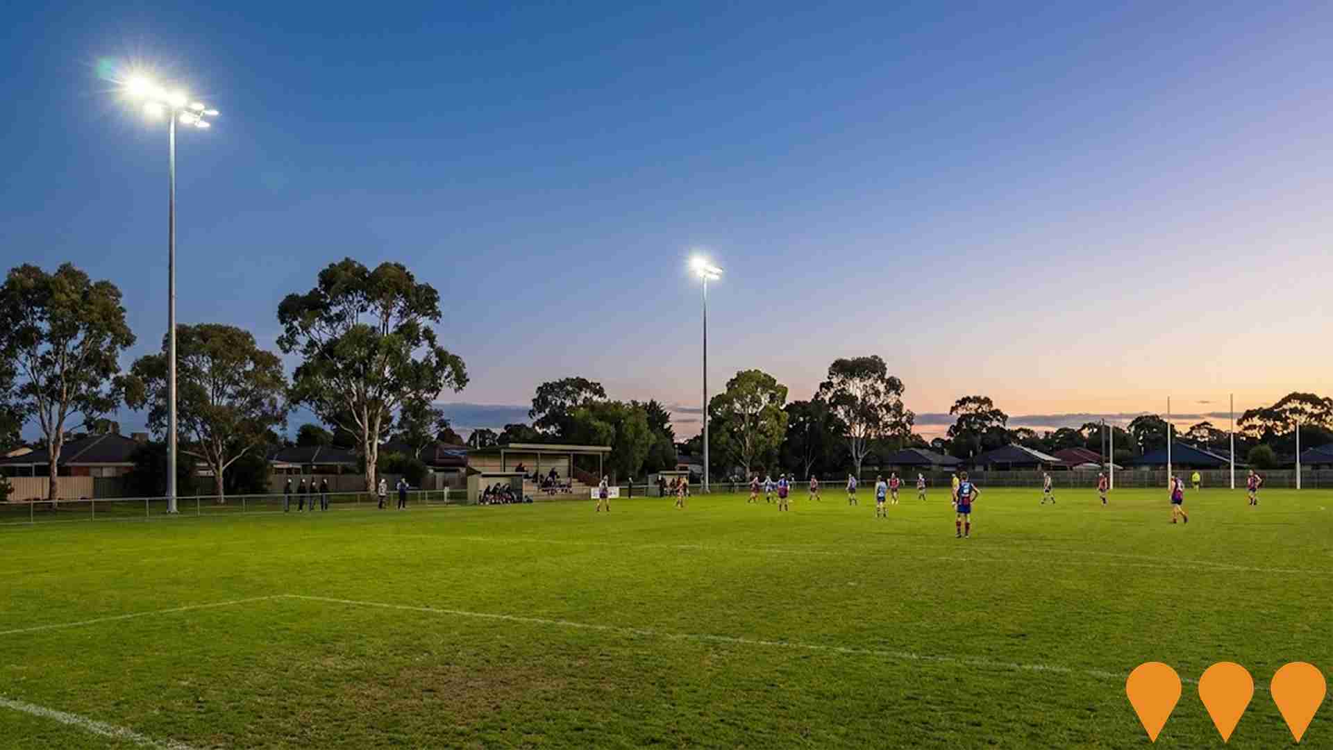
New modern sporting pavilion facility with $3 million Victorian Government commitment. Will include unisex change rooms, contemporary amenities, accessible toilets, female-friendly facilities, and accessible spectator spaces. Serves Mackie Cricket Club, Glen Eira Junior Football Club, and Glen Eira Junior Soccer Club with nearly 800 players total.
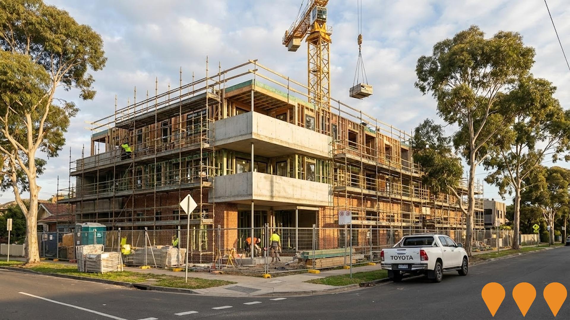
The Aston
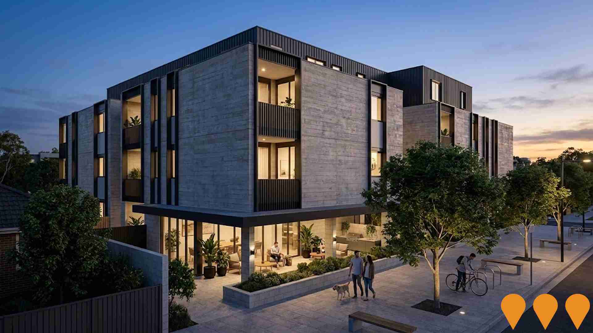
The Aston is a partially constructed four-level residential building featuring 22 apartments in the heart of Bentleigh. The project is under administration but has recently received a planning permit extension, indicating potential resumption of construction.
East Village
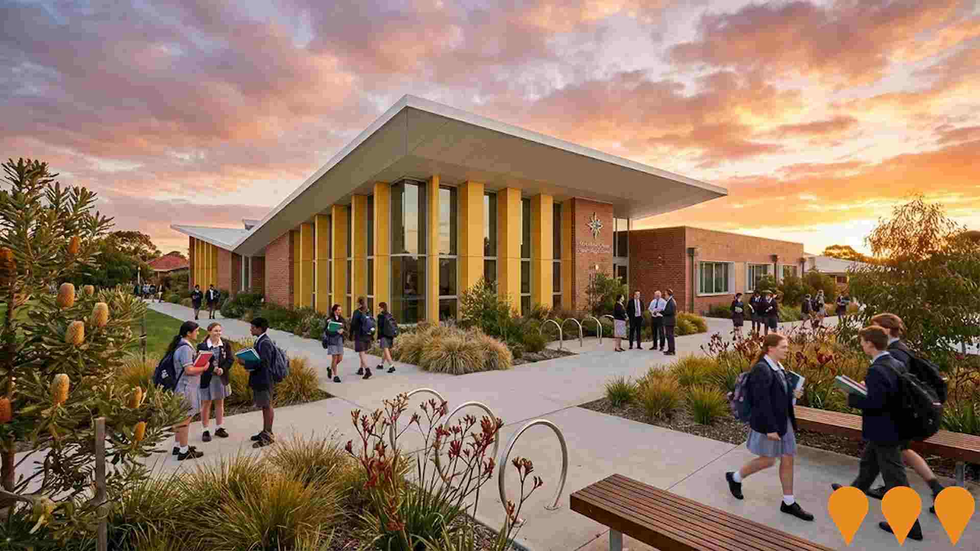
A 1.25 billion dollar master-planned urban renewal precinct spanning 24 hectares. The project transforms a former industrial site into a sustainable mixed-use hub. It features approximately 3000 dwellings, 15000 sqm of retail, and 80000 sqm of commercial space. Assemble Communities and Make Ventures are delivering a 4.3-hectare portion dedicated to 940 build-to-rent apartments. The site includes the completed McKinnon Secondary College East Campus, a one-hectare central park, and a new town square area.

Gibson Developments North Road Apartments
Mixed-use apartment project at the corner of North Road and Carlyon Street in Ormond. Original approval was for a six-storey building with 57 dwellings and ground-floor retail. Subsequent amendments reduced to 41 dwellings to meet BADS and later amendment B (April 2024) sought to increase to 52 dwellings with two additional levels, a rooftop communal area, facade/material changes, and an electronic promotion sign. As of Aug 18, 2025, the amendment appears under assessment with City of Glen Eira.
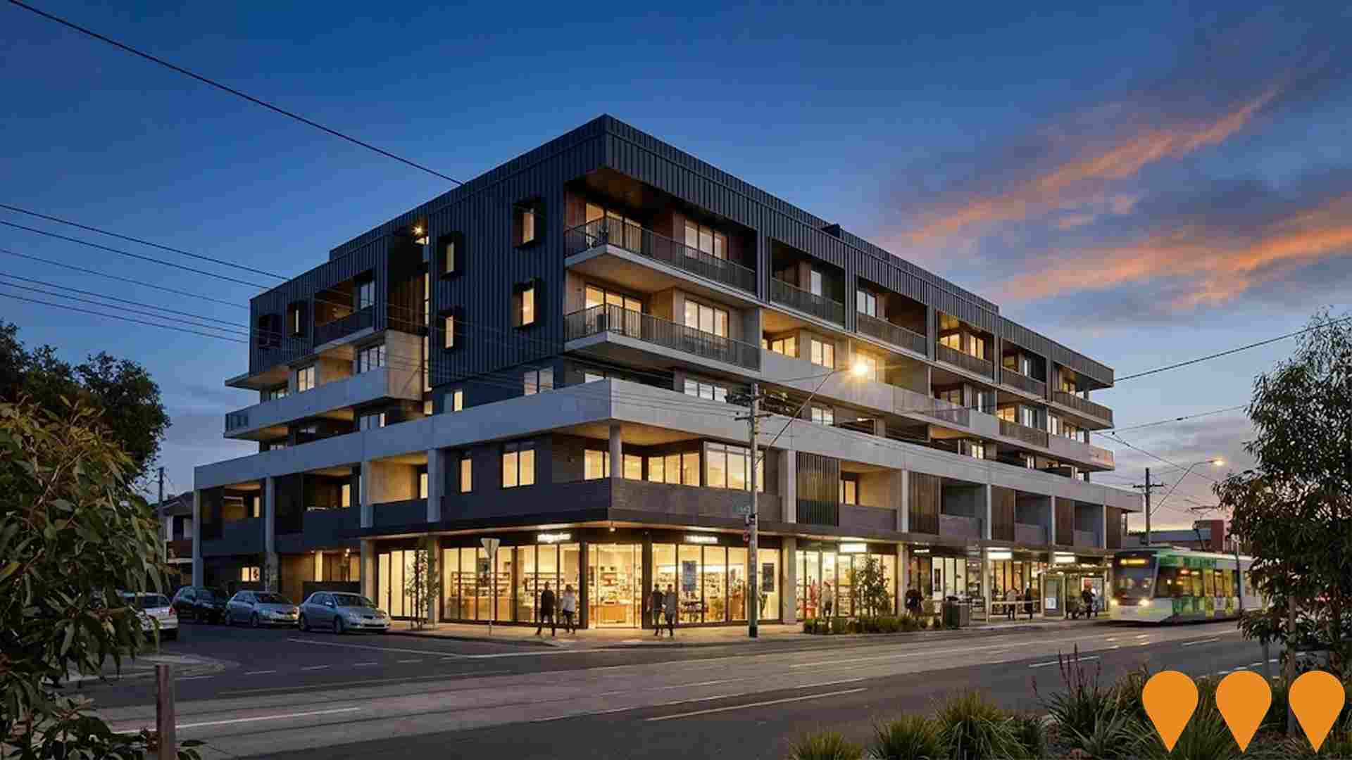
DealCorp Ormond Station Development (Sky Tower)
Mixed-use build-to-rent development proposed above and adjacent to Ormond Station on the Frankston line. Revised plans lodged with the Victorian Department of Planning seek approval for 288 rental apartments rising to 10 storeys on North Road and 6 storeys toward the residential hinterland. The development also includes office space, a full-line supermarket, smaller retail tenancies, 514 car parks and 289 bicycle spaces. The concrete platform above the station has remained vacant since the North Road level crossing removal was completed in 2016.DealCorp director David Kobritz cited 50 per cent construction cost increases as the reason the original build-to-sell model was abandoned in favour of build-to-rent. Amended plans were lodged in 2024 and construction was hoped to begin in 2025 with completion targeted for 2027, subject to final planning permit approval.
Bentleigh 'Eat-Street' Precinct
Urban renewal project to create a vibrant dining and entertainment precinct along Centre Road in Bentleigh. The project aims to enhance streetscape, improve pedestrian access, and attract diverse dining and retail businesses.
Milli Brighton East
Contemporary village of 28 exclusive townhomes in Brighton East designed by Cera Stribley Architects and DM Property. Features 3 and 4-bedroom residences with open-plan living, inspired by natural rhythms and textures of the bay. Development includes established trees, parklands, and leafy streetscapes with proximity to Brighton Beach.


4,283 residents of McKinnon are employed, from a labour force of 4,428. Unemployment sits at 3.3%, with participation at 70.7%. Weighted for its industry mix, the area's sectors are forecast to grow about 7.1% nationally over five years. That reflects industry composition only and makes no allowance for local population growth. The working-day population is estimated at 6,271, about 81% of the resident population, so more people leave the area for work than travel in. Unemployment and labour force come from ABS Small Area Labour Markets, updated quarterly; the industry and occupation profile is from the 2021 Census.
Detail
McKinnon is characterized by an exceptionally qualified labour pool with high professional services participation, an unemployment rate standing at just 3.3%, and annual employment growth estimated at 1.0% via AreaSearch statistical area aggregations. As of March 2026, employed residents total 4,283. The local jobless rate is 1.5% below the Greater Melbourne benchmark of 4.8%, while overall labour force engagement tracks close to the metropolitan figure of 70.1%. Census records show 47.3% of workers operating from home, though pandemic lockdown measures during that period should be noted. Local employment is concentrated within professional & technical services, health care & social assistance, and education & training.
Professional & technical roles are particularly prominent, capturing a workforce share 1.5 times the regional average. Conversely, construction represents an under-indexed sector, accounting for 6.2% of local workers compared to 9.7% across Greater Melbourne. Comparing resident workers to the local Census employment count indicates that this predominantly residential suburb generates few local job openings. According to AreaSearch syntheses of ABS and SALM figures across wider statistical geographies, the preceding 12-month period saw employment increase by 1.0% while the labour force expanded by 0.8%, reducing the local unemployment rate by 0.2 percentage points. Across Greater Melbourne over the same timeframe, jobs rose by 2.1%, the workforce grew by 2.3%, and unemployment ticked up by 0.2 percentage points. Five- and ten-year national employment projections from Jobs and Skills Australia as of Mar-26 provide additional context on potential workforce trajectories. While overall Australian employment is projected to grow by 6.6% over five years and 13.7% over ten years, industry trajectories vary widely. Weighting these sectoral forecasts against McKinnon's occupational profile indicates prospective employment gains of 7.1% over five years and 14.2% over ten years (representing an illustrative weighting model that excludes localized demographic projections).
Frequently Asked Questions - Employment
Median household income in McKinnon is $2,410 a week (about $125,000 a year), with median personal income at $963 a week. ATO records put median taxable income at $61,006 a year against an average of $85,199. Household income is from the 2021 Census; taxable income is from ATO Taxation Statistics for the latest financial year available, indexed forward using the ABS Wage Price Index.
Detail
Taxation statistics aggregated by AreaSearch for financial year 2023 place taxpayer earnings in the suburb of McKinnon among the top tiers nationally. Taxpayers in the suburb of McKinnon record a median income of $61,006 and an average of $85,199, outperforming the Greater Melbourne benchmarks of $57,688 and $75,164. Incorporating 9.62% Wage Price Index growth recorded since financial year 2023 lifts estimated earnings to roughly $66,875 (median) and $93,395 (average) as of March 2026. Data from the 2021 Census confirms that personal, family, and household earnings all place between the 75th and 88th percentiles across Australia.
The leading personal income cohort comprises 27.6% earning $4000+ weekly (2,124 residents), whereas the wider metropolitan profile peaks in the $1,500 - 2,999 bracket at 32.8%. With 40.8% of earners receiving above $3,000/week, the community demonstrates substantial financial strength. Despite residential accommodation expenses absorbing 16.1% of income, disposable earnings remain in the 86th percentile, and the suburb falls into the 9th decile on the SEIFA income index.
Frequently Asked Questions - Income
McKinnon had 2,337 occupied dwellings at the 2021 Census, 59% detached houses and 13% apartments. 35% are owned with a mortgage, 33% rented and 32% owned outright. At that Census the median rent was $516 a week and the median mortgage repayment $2,689 a month, a total housing cost higher than 90% of areas nationally. Rent absorbs 21.4% of household income here and mortgage repayments 25.7%. Dwelling stock, tenure and housing costs are 2021 Census measures — the only source that counts dwellings at this boundary size.
Detail
At the time of the latest Census, the housing landscape in McKinnon was divided into 59.0% separate houses and 41.0% other dwellings (incorporating semi-detached homes, units, and alternative dwellings), differing from Melbourne metro where houses constituted 67.9% and other dwellings 32.1%. Outright home ownership stood at 31.8%, matching Melbourne metro, while remaining properties were occupied under a mortgage (34.8%) or rental agreement (33.3%). Typical housing costs in McKinnon notably exceed regional and national norms: median monthly mortgage payments reached $2,689 (compared to $2,000 for Melbourne metro and $1,863 nationally), while median weekly rent sat at $516 (versus $390 across Melbourne metro and $375 across Australia).
Frequently Asked Questions - Housing
McKinnon counted 2,337 households at the 2021 Census, an estimated 2,616 today, averaging 2.8 people each. 45% are couples with children, more than in 89% of areas nationally, against 21% couples without children. 18% of households are people living alone, and families average 1.4 children. Household and family composition is measured only by the Census, so these are 2021 figures.
Detail
The domestic fabric is heavily oriented toward family units, which make up 80.0% of all households. This total includes 45.1% couples with children, 21.0% couples without children, and 13.0% single parent families. The remaining 20.0% consists of non-family arrangements, divided between lone person households at 17.7% and group households at 2.3%. Average household occupancy sits at 2.8 people, exceeding the Greater Melbourne figure of 2.6.
Frequently Asked Questions - Households
49.4% of adults in McKinnon hold a university qualification, including 31.1% with a bachelor degree and 13.8% with postgraduate qualifications, higher than 95% of areas nationally. A further 10.1% hold a vocational qualification. 1 school serves the area, with 2,872 enrolment places and an average ICSEA of 1,113 against a national benchmark of 1,000. Qualifications come from the 2021 Census; school enrolments, ICSEA and results come from ACARA's current release.
Detail
Academic credentials among McKinnon residents substantially outpace state and national figures, with 49.4% of individuals aged 15+ possessing university degrees, compared to 33.4% in VIC and 30.4% in Australia. This high level of qualifications underpins the area's knowledge-economy capability. Bachelor degree holders form the single largest category at 31.1%, followed by postgraduate degree holders at 13.8% and graduate diploma recipients at 4.5%. Technical and trade pathways account for 20.4% of residents aged 15+, comprising advanced diplomas (10.3%) and vocational certificates (10.1%). Formal educational participation is extensive, with 35.3% of the resident population actively studying.
This cohort includes 12.0% attending secondary education, 11.0% in primary education, and 7.0% enrolled in tertiary institutions.
Frequently Asked Questions - Education
Schools Detail
Public transport in McKinnon reaches 28 stops on 6 routes, timetabled for about 1,300 services a week. The typical home sits about 170 m from its nearest stop. Buses carry the largest share of public transport commuters. Households keep an average of 1.3 vehicles. Stop and service counts are built from operators' published GTFS timetables and refresh with each timetable release; vehicle ownership is from the 2021 Census.
Detail
McKinnon is serviced by 28 operational public transport stops across its bus network. These locations are connected via 6 distinct bus routes, combining to deliver 1,299 weekly passenger trips. Access to the network is strong, with typical walking distances to the nearest stop averaging 171 meters. Given the suburb's residential focus, outward commuting is standard; private vehicles account for 79% of journeys to work, while 12% travel by train. Dwellings accommodate an average of 1.3 motor vehicles. Additionally, 47.3% of workers were recorded working from home at the 2021 Census, a figure likely influenced by COVID-19 restrictions.
Across all transit services, frequency averages 185 trips daily, which translates to roughly 46 weekly trips per individual stop.
Frequently Asked Questions - Transport
Transport Stops Detail
76.4% of residents in McKinnon report no long-term health condition, a healthier profile than 80% of areas nationally. 4.6% need daily assistance with core activities, and 60.4% hold private health cover. The standardised death rate runs at 4.8 per 1,000 residents. Health conditions, assistance needs and insurance are 2021 Census measures; the death rate comes from current ABS releases.
Detail
Health indicators across McKinnon are notably strong based on AreaSearch assessments of mortality and chronic disease trends, with low rates of common health conditions observed across both younger and older cohorts. In addition, private health insurance coverage is extensive, covering approximately 60% of residents (4,651 people), higher than the 56.7% proportion recorded across Greater Melbourne. The primary ongoing health conditions reported by local residents are asthma and mental health issues, affecting 6.3 and 6.1% of the population respectively. Meanwhile, 76.4% of residents reported having no long-term medical conditions, outperforming the 72.6% benchmark across Greater Melbourne.
Individuals aged 65 and over comprise 14.9% of the population (1,147 people), with health metrics among older residents exceeding national averages and aligning with the broader suburb profile.
Frequently Asked Questions - Health
40.0% of McKinnon residents were born overseas and 35.8% speak a language other than English at home, more culturally diverse than 82% of areas nationally. The largest reported ancestries are English (19.5%) and Australian (16.8%). Ancestry, language and country of birth are counted only by the Census, so these are 2021 figures.
Detail
McKinnon exhibits strong multicultural characteristics, with 40.0% of residents born abroad and 35.8% speaking a language other than English in the home. Christianity represents the most common faith, claimed by 34.2% of residents. The suburb also demonstrates a distinct concentration of Jewish community members, who comprise 10.1% of the local population compared to the Greater Melbourne benchmark of 1.0%. Examining parental country of birth, the three most widespread ancestries in McKinnon are English (19.5%), Australian (16.8%), and Other (13.1%). Specific international backgrounds also feature higher-than-average representations compared to the wider region, including Russian heritage at 2.2% (against 0.4% regionally), Polish heritage at 1.9% (versus 0.8%), and French heritage at 0.8% (relative to 0.5%).
Frequently Asked Questions - Diversity
The median resident of McKinnon is 40. 24.6% of residents are aged 15 to 34. Age cohorts are not raw Census counts: the Census split is re-based to the latest ABS population estimates and state projections.
Detail
The age profile in McKinnon displays a pronounced concentration of mature-age households. Based on updates to August 2026, residents aged 45 - 64 (middle aged and young retiree cohorts) comprise 28.2% of the population, compared to 22.3% across Greater Melbourne. Conversely, young to middle aged adults (25 - 44) account for 23.0%, below the metropolitan mark of 32.1%. As at August 2026, AreaSearch estimates the median age at 40, matching the 2021 Census figure and remaining 3 years older than the Greater Melbourne median of 37 recorded at that time.
Retiree and elderly cohorts (65+) have increased from 13.8% at the Census to an estimated 14.9%. By 2041, these older cohorts are projected to absorb the bulk of local growth, expanding by 544 residents (47%) to reach a total of 1,691.
Frequently Asked Questions - Age
Data & MethodBoundaries, Sources & Method for McKinnon
8 of 14 data sections on this page were updated within the last 12 months — the newest current to Oct 2026.
Everything is aggregated to the Suburb (SAL) boundary shown above, on a 2021 Census baseline. Only 3 sections — housing, households and cultural diversity — still wait on the 2026 Census.
The ledger — source, cycle and currency by section
| Section | Source & update cycle | Currency |
|---|---|---|
| Updated within the last 12 months 8 sections | ||
| Population | ABS, GNAF, Geoscience Australia Annual (ABS ERP) | Aug 2026 2 months ago headline measures · 2021 Census baseline |
| Re-based to the ABS Estimated Resident Population (June 2025 release) and updated with new dwellings from GNAF address data. Current to Aug 2026, with the 2021 Census supplying the small-area baseline. | ||
| Age profile | ABS, Geoscience Australia, State governments Annual | Aug 2026 2 months ago headline measures · 2021 Census baseline |
| Age cohorts are re-based to the latest ABS population estimates and state projections, current to Aug 2026. Each cohort is held as a Census baseline and a current estimate. | ||
| Development & approvals | ABS, GNAF Monthly (ABS approvals) | Aug 2026 2 months ago headline measures · Jul 2026 baseline |
| Property sales & rents | Valuer General, Rental Board, ABS Weekly sales, quarterly rents | Oct 2026 this month headline measures · Sep 2026 baseline |
| Sales from the state Valuer General register, refreshed weekly, and rents from quarterly rental bond lodgements. Both are read live each time this page loads, current to Oct 2026. | ||
| Employment | ABS, DEWR, JSA Quarterly (ABS SALM) | Mar 2026 7 months ago headline measures · 2021 Census baseline |
| Unemployment and labour force from ABS Small Area Labour Markets, current to Mar 2026. The growth outlook applies Department of Employment (now Jobs and Skills Australia) forecasts for all 19 industry divisions to the local industry mix, so it measures sector composition rather than local expansion and makes no allowance for population growth. Job demand comes from the same agency via its Internet Vacancy Index; industry and occupation structure from the 2021 Census. | ||
| Education | ABS, ACARA Annual (ACARA) | Sep 2026 last month headline measures · 2021 Census baseline |
| Transport | ABS, State Transport Departments Each timetable release | Jul 2026 3 months ago headline measures · 2021 Census baseline |
| Services & amenities | Provider directories, ACECQA Continuous | Sep 2026 last month all 14 measures |
| Annual and financial-year sources 3 sections | ||
| Infrastructure projects | Infrastructure Australia, State agencies, Local governments Daily | Jul 2025 about a year ago all 1 projects tracked here |
| Project pipeline maintained continuously from Infrastructure Australia, state agencies, local government and public announcements. Records are added and revised daily; this area was last updated Jul 2025. | ||
| Income | ABS, ATO Annual (ATO) | FY 2023 3 years ago headline measures · 2021 Census baseline |
| ATO taxable income statistics for FY 2023, indexed forward using the Wage Price Index. Census household income provides the distribution detail. | ||
| Health | ABS, ATO Annual | 2024 2 years ago headline measures · 2021 Census baseline |
| Census-measured — next update: 2026 Census 3 sections No more current small-area source exists for these, so they are labelled as Census-measured rather than implied to be current. | ||
| Housing | ABS 5-yearly (Census) | 2021 Census next update 2026 all 30 measures |
| Households | ABS 5-yearly (Census) | 2021 Census next update 2026 all 18 measures |
| Cultural diversity | ABS, Geoscience Australia 5-yearly (Census) | 2021 Census next update 2026 all 44 measures |
"Currency" is the most recent release feeding that section. Where the Census supplies the structural baseline underneath a current headline figure, the row says so.
How the numbers are built
Population
The Census provides the small-area baseline, aggregated from mesh blocks to this boundary. It is then re-based to the ABS Estimated Resident Population (June 2025 release), and new dwellings built since Census night are counted from address data — 123 validated new addresses here. The headline figure is therefore a current estimate for Aug 2026, not a 2021 count (6,878 at the 2021 Census → 7,699 now). Annual growth rates are compound (CAGR), not simple averages.
Age profile
Cohort shares are not raw Census counts. Every cohort is held as a pair — the Census baseline and a current estimate — and the split is re-based using ERP and state population projections, current to Aug 2026. Median age is the Census median plus modelled change since. Charts that show both are labelled "2021 Census vs Current Estimate".
Property sales
Sourced from the state valuation authority's sales register — current, not Census, and refreshed weekly. Medians are calculated from settled transactions in the period shown; periods with very low transaction counts are flagged or suppressed, because a handful of sales can move a median substantially.
Rents
Derived from state rental bond lodgement data, by dwelling type and bedroom count. Bonds are lodged at the start of a new tenancy, so this reflects new lettings, not the whole rented stock.
Development & infrastructure
Building approvals come from current ABS releases; development applications are collected from council and state planning portals; the infrastructure pipeline is compiled from Infrastructure Australia and local government sources. Applications are matched to this boundary by address or coordinates, so very recent lodgements may not yet appear.
Employment & income
Industry and occupation structure comes from the Census, but the headline labour-market indicators do not. Unemployment and labour force are derived from ABS Small Area Labour Markets (quarterly). The employment outlook applies Department of Employment forecasts for all 19 industry divisions to this area's own industry mix (the agency is now Jobs and Skills Australia), as does the Internet Vacancy Index used for job demand. Because it is weighted on industry composition alone, that outlook carries no allowance for local population growth — in fast-growing areas the real rise in local jobs will typically be higher. Income combines Census household income with ATO taxable-income statistics for FY 2023, indexed forward using the Wage Price Index.
Education, transport & amenities
School enrolments, ICSEA and performance come from ACARA's current release, not the Census. Public transport stops and service frequency are derived from GTFS timetable feeds published by state transport departments. Services and amenities are proximity and count scores built from provider directories, refreshed on their own cycle. The Census contributes only the travel-to-work and qualification measures.
Rankings and benchmarks. Where we rank this area, the comparison set is every area of the same boundary type — suburbs against suburbs, SA2s against SA2s. Benchmarks compare this area against its greater capital city region and the national figure for the same measure and period.
Limits worth knowing. Small areas carry larger error margins, and the ABS introduces small random adjustments to Census counts to protect confidentiality — so totals may not sum exactly. Estimates re-based from regional data describe the area's expected trajectory, not a direct count of it. Figures are indicative for research and are not financial, planning or valuation advice.
Cross-check us. The Census baseline for this boundary is at ABS 2021 Census QuickStats (SAL21629). QuickStats reports 2021 only — the figures on this page are more current wherever the ledger shows a later date.