Chart Color Schemes
This analysis uses ABS Statistical Areas Level 2 (SA2) boundaries, which can materially differ from Suburbs and Localities (SAL) even when sharing similar names.
SA2 boundaries are defined by the Australian Bureau of Statistics and are designed to represent communities for statistical reporting (e.g., census and ERP).
Suburbs and Localities (SAL) represent commonly-used suburb/locality names (postal-style areas) and may use different geographic boundaries. For comprehensive analysis, consider reviewing both boundary types if available.
est. as @ -- *
ABS ERP | -- people | --
2021 Census | -- people
Sales Activity
Curious about local property values? Filter the chart to assess the volume and appreciation (including resales) trends and regional comparisons, or scroll to the map below view this information at an individual property level.
Find a Recent Sale
Sales Detail
Population
An assessment of population growth drivers in Yarramundi - Londonderry reveals an overall ranking slightly below national averages considering recent, and medium term trends
Yarramundi - Londonderry's population is approximately 7,718 as of Nov 2025. This figure reflects a growth of 214 people since the 2021 Census, which reported a population of 7,504. The increase is inferred from an estimated resident population of 7,689 in June 2024 and an additional 19 validated new addresses since the Census date. This results in a population density ratio of 94 persons per square kilometer. Yarramundi - Londonderry's growth rate of 2.9% since the census is within 1.7 percentage points of its SA3 area's growth rate of 4.6%. Natural growth contributed approximately 61.9% of overall population gains during recent periods.
AreaSearch uses ABS/Geoscience Australia projections for each SA2 area, released in 2024 with a base year of 2022. For areas not covered by this data, AreaSearch utilises NSW State Government's SA2 level projections released in 2022 with a base year of 2021. Growth rates by age group from these aggregations are applied to all areas for years 2032 to 2041. Based on projected demographic shifts, the area is expected to increase by approximately 882 persons to 2041, reflecting an overall gain of about 11.1% over the 17-year period.
Frequently Asked Questions - Population
Development
AreaSearch assessment of residential development drivers sees a low level of activity in Yarramundi - Londonderry, placing the area among the bottom 25% of areas assessed nationally
Yarramundi - Londonderry has granted approximately 10 residential property approvals annually. Over the past five financial years, from FY21 to FY25, 52 homes were approved. In FY26 up until now, there have been 5 approvals. On average, over these five years, about 1.2 new residents arrived per new home built.
However, in the last two financial years, this figure has increased to 13.4 people per dwelling, indicating growing demand and tightening supply. The average construction value of development projects is $459,000, slightly above the regional average. This year alone, there have been $826,000 in commercial development approvals, suggesting a primary focus on residential development. Compared to Greater Sydney, Yarramundi - Londonderry has significantly reduced construction activity, at 70% below the regional average per person. This constrained new construction tends to reinforce demand and pricing for existing properties.
The area's population is estimated at 1245 people per dwelling approval, reflecting its quiet development environment. Recent development has been exclusively detached houses, maintaining the area's low-density nature and attracting space-seeking buyers. By 2041, Yarramundi - Londonderry is projected to add 853 residents according to AreaSearch's latest quarterly estimate. If current development rates persist, housing supply may not keep pace with population growth, potentially intensifying buyer competition and supporting stronger price growth.
Frequently Asked Questions - Development
Infrastructure
Yarramundi - Londonderry has strong levels of nearby infrastructure activity, ranking in the top 30% nationally
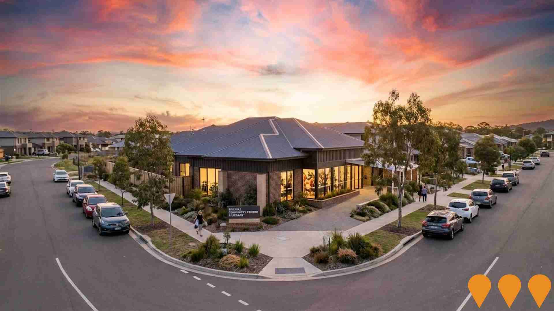
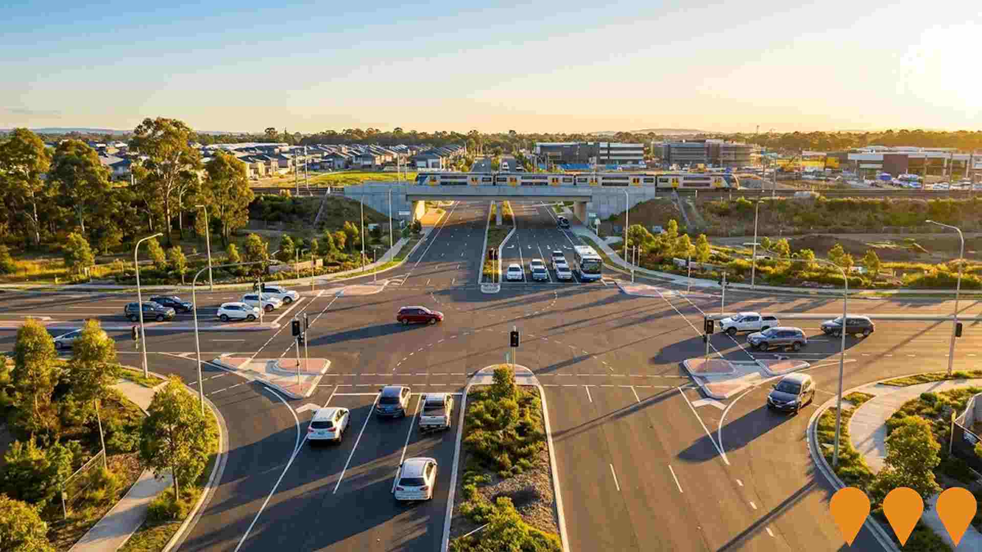
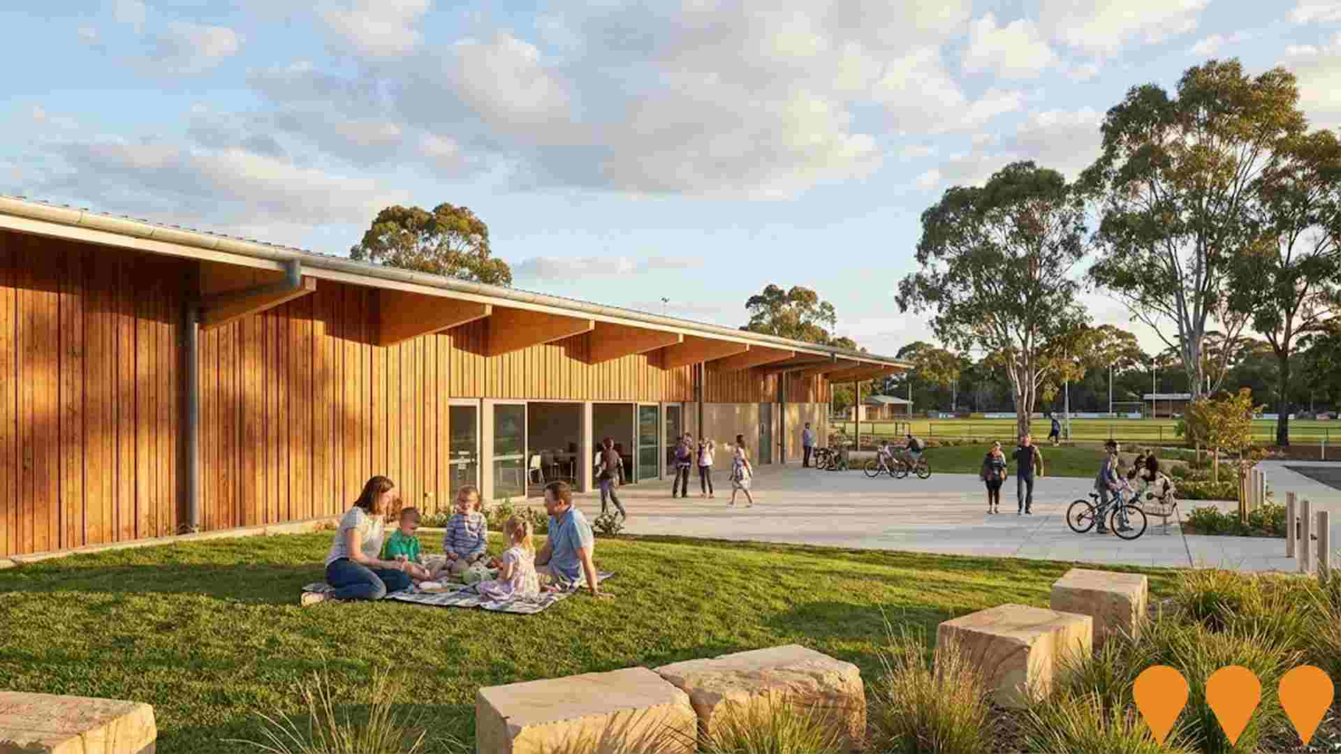
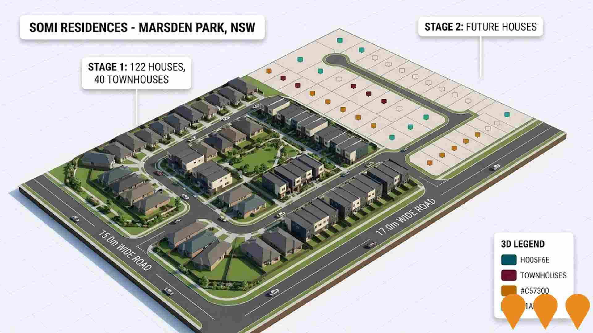
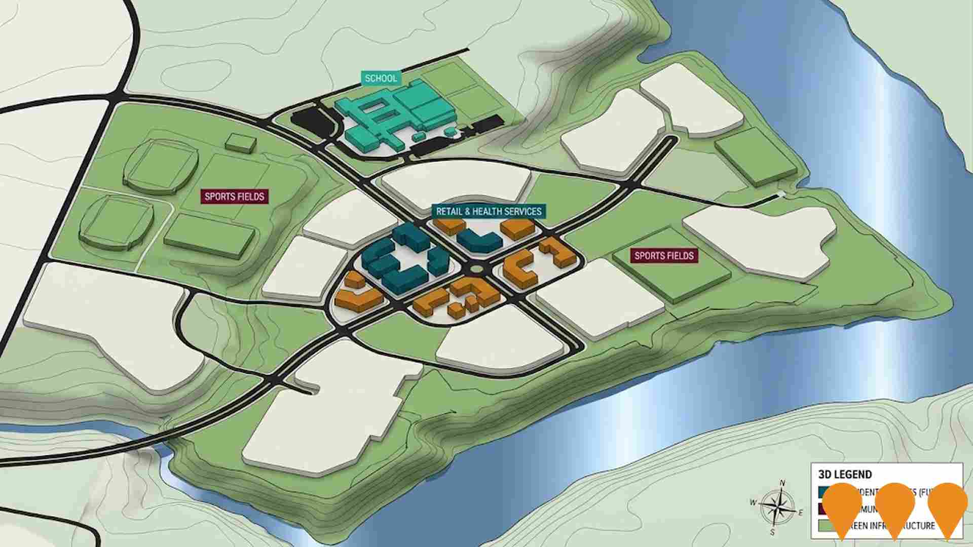
Changes to local infrastructure significantly influence an area's performance. AreaSearch has identified 14 projects likely to impact the area. Key projects include Stockland The Gables Masterplanned Community, Gables Public School and Preschool, Box Hill Release Area Development, and Box Hill Infrastructure Projects. The following list details those most relevant.
Professional plan users can use the search below to filter and access additional projects.
INFRASTRUCTURE SEARCH
 Denotes AI-based impression for illustrative purposes only, not to be taken as definitive under any circumstances. Please follow links and conduct other investigations from the project's source for actual imagery. Developers and project owners wishing us to use original imagery please Contact Us and we will do so.
Frequently Asked Questions - Infrastructure
Box Hill Release Area Development
Major greenfield release area in north west Sydney planned under the NSW Government North West Priority Growth Area program. The Box Hill and Box Hill Industrial precincts are intended to deliver around 9600 new homes, a town centre, schools, employment land and supporting open space, transport and utility infrastructure. Development is being delivered progressively by private developers under planning controls set by the NSW Government and The Hills Shire Council, with ongoing subdivision, road upgrades and community facilities expected through the 2030s.

Stockland The Gables Masterplanned Community
The Gables is a 293-hectare masterplanned community in Sydney's Hills District, formerly known as Box Hill, which Stockland acquired for $415 million in 2020 to develop 1,900 additional homes. The total development, which began in 2015, is expected to include a total of about 4,100 to 4,500 homes and a population of around 13,000 residents upon completion. The community features 75 hectares of green space, a future 4-hectare lake, a K-12 school, a public primary school and preschool set to open in 2027, and a new town centre. The Stockland Gables Town Centre opened in October 2025 and is anchored by a Woolworths supermarket, with other tenants including a childcare centre, medical facility, and various specialty shops and dining options. Construction is also underway on Stockland Halcyon Gables, a land lease community for over-60s within the estate.
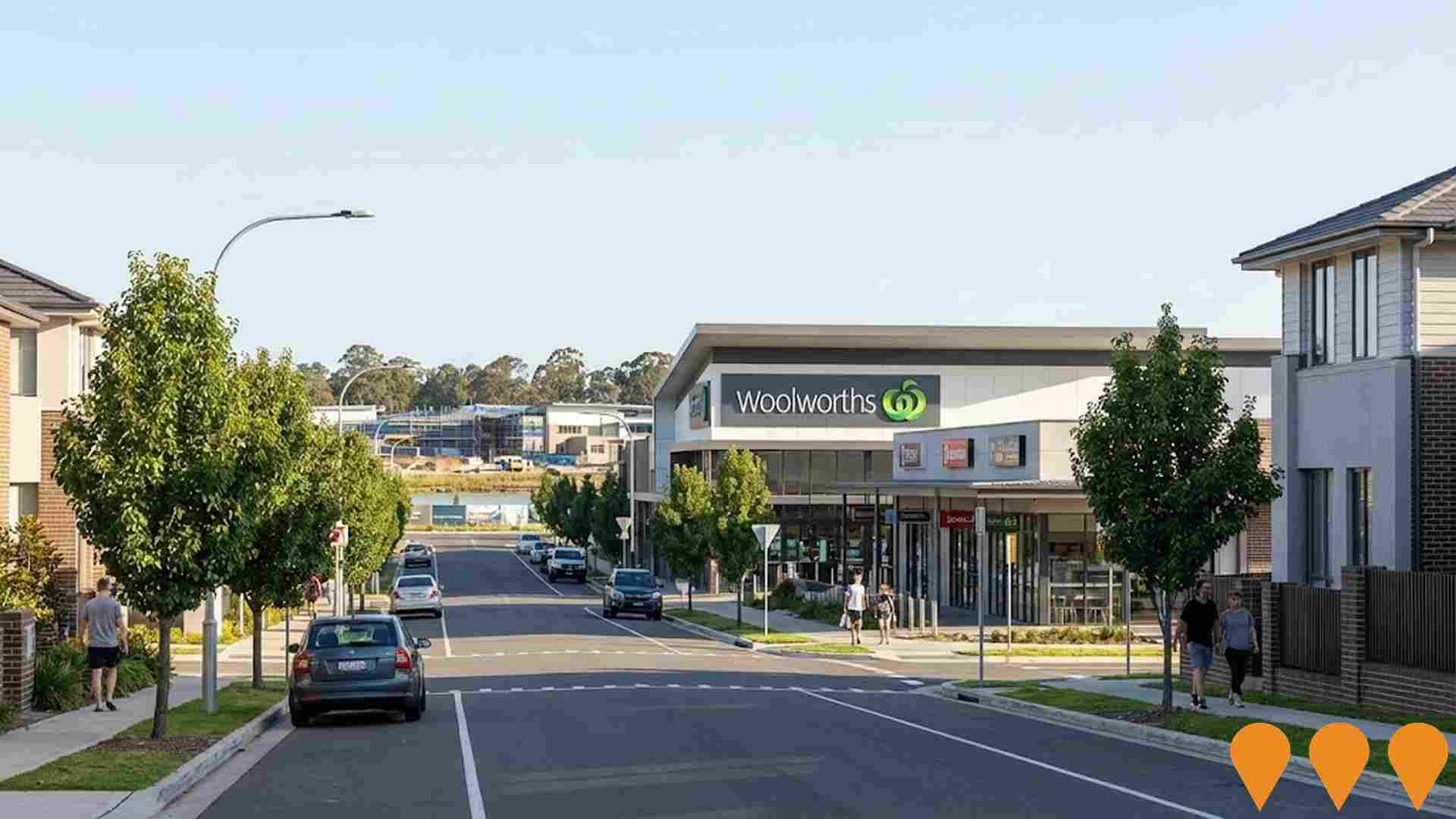
Stockland Gables Town Centre
A fully leased, $95 million neighbourhood shopping centre with a gross lettable area of 9,400 square metres, anchored by a full-line Woolworths. It features 30 retailers, including a childcare centre (Nido Early School), medical centre, pharmacy, gym, specialty shops, and dining options. The centre is targeting a 5-star Green Star rating and includes a 500 kWp solar installation with battery storage. It is located in the heart of The Gables masterplanned community.
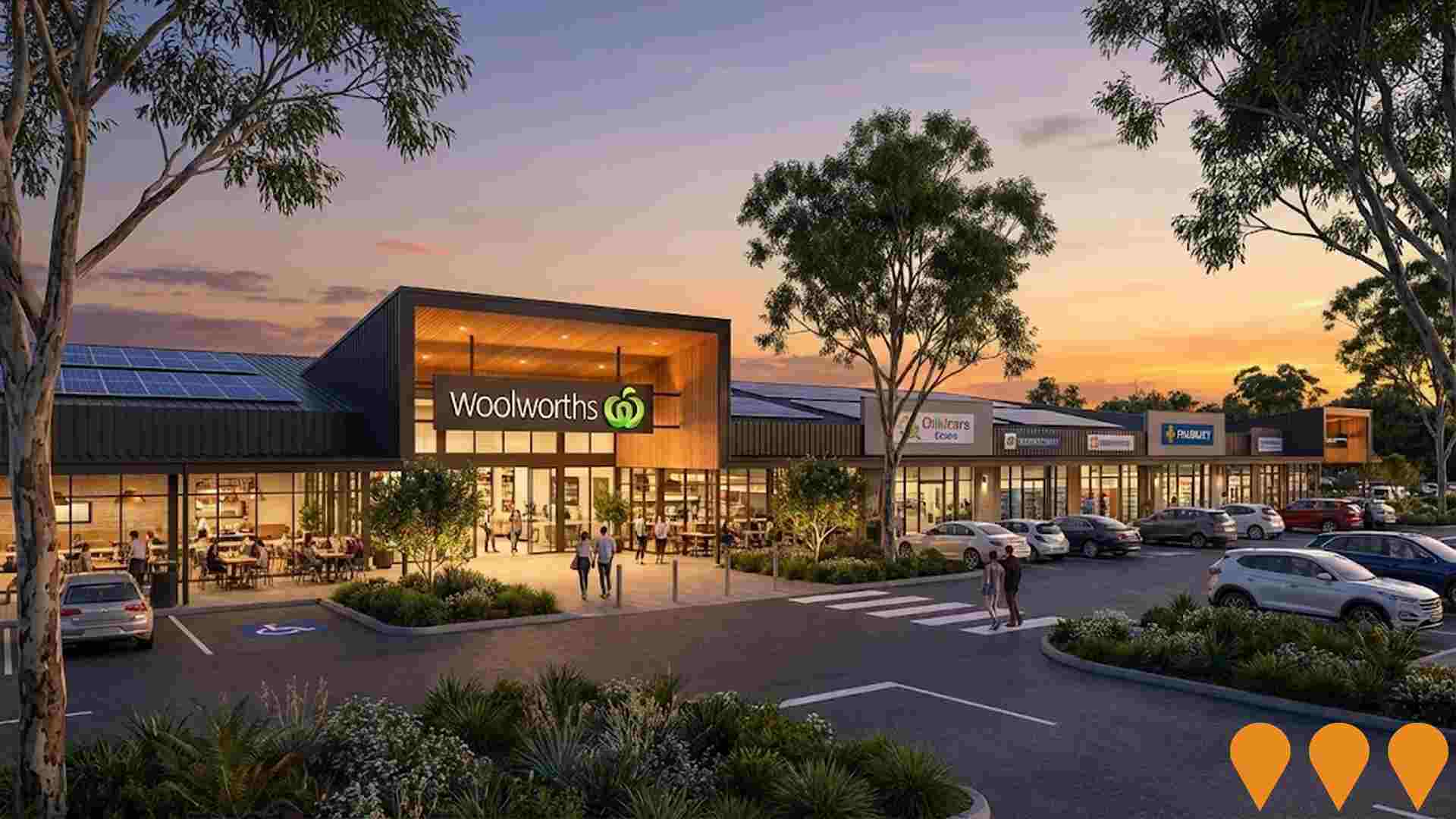
Nepean Business Park
Transformation of a 47ha degraded former quarry site into a productive business park, providing local jobs while protecting and enhancing the environment, located 2km from Penrith CBD.

M12 Motorway (Western Sydney Airport Motorway)
A $2.04 billion, 16-kilometre east-west motorway providing direct access to Western Sydney International Airport. Four-lane toll-free motorway with provision for future expansion to six lanes. Includes multiple interchanges and bridges across major waterways, supporting 2,000+ jobs during construction and opening in 2026 to serve the new airport.

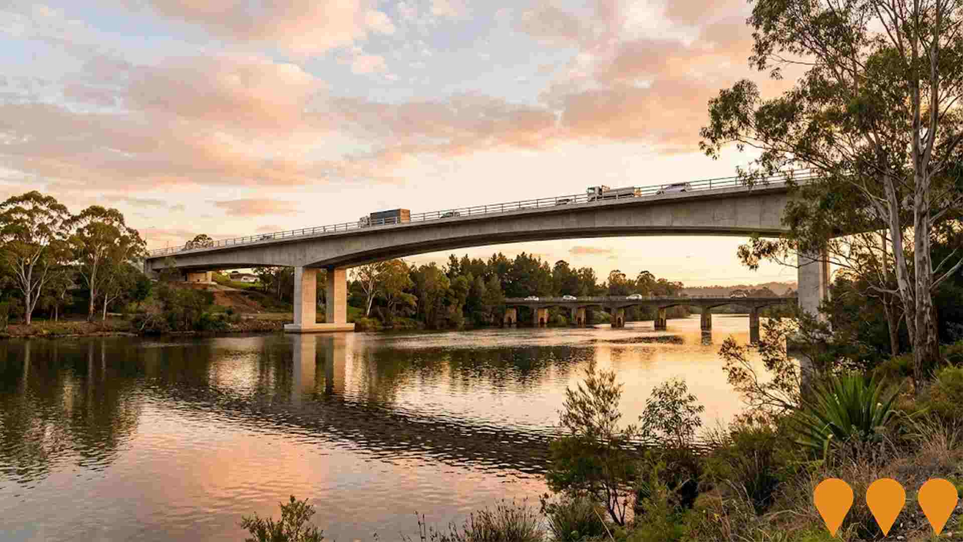
New Richmond Bridge and Traffic Improvements
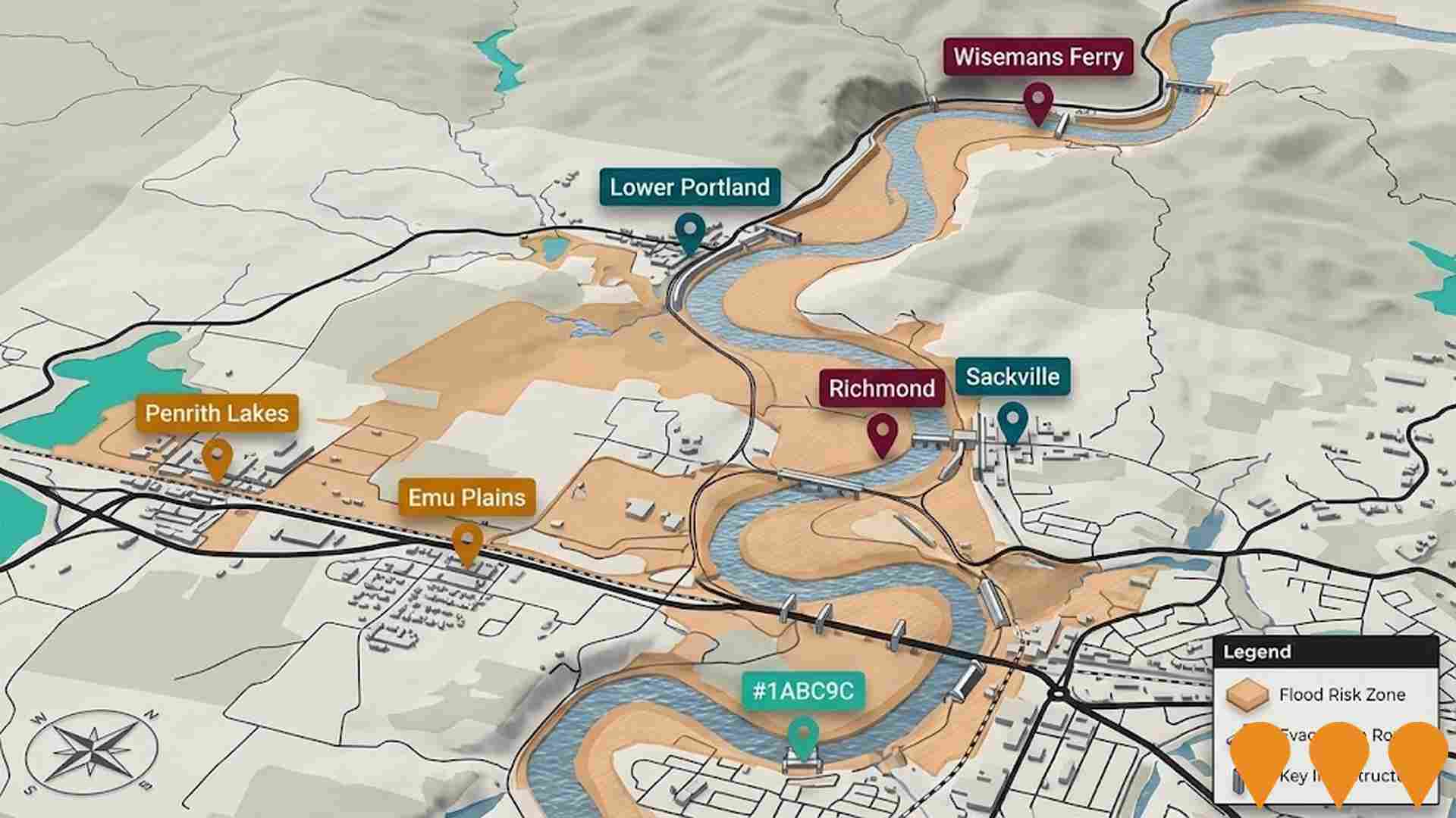
Traffic and flood-resilience upgrade led by Transport for NSW delivering a new higher four-lane bridge over the Hawkesbury River downstream of the existing Richmond Bridge, a bypass of Richmond town centre, and upgrades to key intersections on The Driftway. Stage 1 (The Driftway intersections and enabling works) has a major construction contract awarded and is commencing in 2025, with completion targeted for 2027. Stage 2 will deliver the new bridge and associated works, with design and procurement progressing following community consultation.
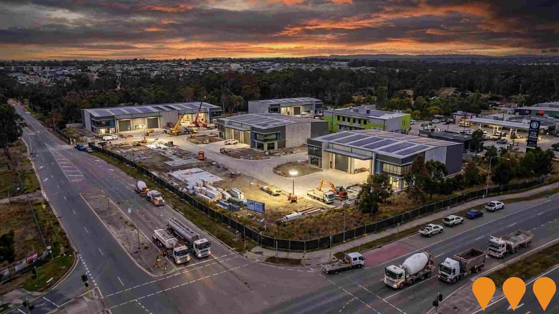
Marsden Park North State Significant Rezoning
State significant rezoning proposal for the northern section of Marsden Park, identified for state-led rezoning under the State Significant Rezoning Policy on 30 September 2024. The focus has shifted to employment, industrial, conservation, and recreational land uses due to flood risks, with any new homes required to be above Probable Maximum Flood levels. A planning proposal for industrial use was submitted in December 2024, aiming to deliver over 250,000 sqm of industrial floor space on 50Ha of developable land. Public feedback is anticipated in late 2025.
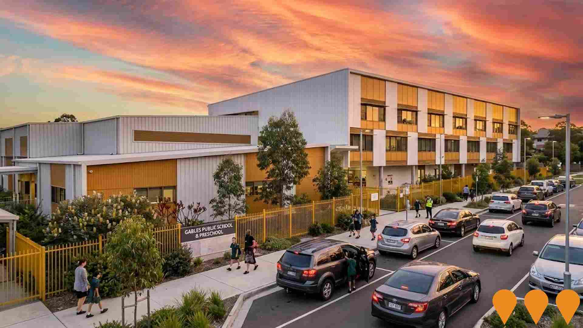
Gables Public School and Preschool
New public primary school and preschool facility at 1 Pennant Way in Gables, to accommodate up to 1000 students and 60 preschoolers daily (120 per week). The school will include 44 modern classrooms, 3 support learning classrooms, a library, canteen, multipurpose hall, OOSH care, play spaces, and a sports court. The preschool will have 3 rooms and a dedicated outdoor play area. Construction includes parking for staff and carers, a bus zone, and two kiss-and-drop zones. It is part of the NSW Government's commitment to deliver 100 public preschools by 2027.
Employment
The employment environment in Yarramundi - Londonderry shows above-average strength when compared nationally
Yarramundi - Londonderry has a balanced workforce with both white and blue collar jobs. The construction sector is prominent, with an unemployment rate of 2.5% as of September 2025.
There are 3,656 residents employed, which is 1.7% below Greater Sydney's rate of 4.2%. Workforce participation is lower at 51.9%, compared to Greater Sydney's 60.0%. Leading industries include construction, health care & social assistance, and retail trade. Construction is particularly strong, with an employment share 2.4 times the regional level.
Professional & technical services are under-represented, at 3.4% compared to Greater Sydney's 11.5%. Local employment opportunities appear limited based on Census data analysis. Between September 2024 and September 2025, the labour force decreased by 3.9%, with a 3.7% decline in employment, leading to a slight fall in unemployment rate. In contrast, Greater Sydney saw employment growth of 2.1%. Statewide, NSW employment contracted by 0.03% (losing 2,260 jobs) as of 25-Nov-25, with an unemployment rate of 3.9%, favourably comparing to the national rate of 4.3%. National employment forecasts from May-25 project a 6.6% growth over five years and 13.7% over ten years. Applying these projections to Yarramundi - Londonderry's employment mix suggests local employment should increase by 5.8% over five years and 12.1% over ten years, though this is a simplified extrapolation for illustrative purposes only.
Frequently Asked Questions - Employment
Income
Income metrics indicate excellent economic conditions, with the area achieving higher performance than 75% of national locations assessed by AreaSearch
The median taxpayer income in Yarramundi - Londonderry SA2 was $56,460 with an average of $69,489 according to AreaSearch's aggregation of postcode level ATO data for the financial year 2022. This is higher than national averages, contrasting with Greater Sydney's median income of $56,994 and average income of $80,856. By September 2025, estimates based on a 12.61% Wage Price Index growth would place the median at approximately $63,580 and the average at around $78,252. Census data shows household incomes rank at the 81st percentile with weekly earnings of $2,271, while personal income ranks lower at the 54th percentile. Income brackets indicate that 33.0% of locals (2,546 people) predominantly fall within the $1,500 - $2,999 category, mirroring the region where 30.9% occupy this bracket. Economic strength is evident with 34.0% of households achieving high weekly earnings exceeding $3,000, supporting elevated consumer spending. Housing accounts for 14.0% of income, and strong earnings rank residents within the 83rd percentile for disposable income. The area's SEIFA income ranking places it in the 4th decile.
Frequently Asked Questions - Income
Housing
Yarramundi - Londonderry is characterized by a predominantly suburban housing profile, with above-average rates of outright home ownership
Yarramundi - Londonderry's dwellings were 97.2% houses and 2.8% other dwellings in the latest Census, compared to Sydney metro's 79.7% houses and 20.3% other dwellings. Home ownership was at 41.2%, with mortgaged dwellings at 38.0% and rented ones at 20.9%. The median monthly mortgage repayment was $2,500, above Sydney metro's average of $2,167. Weekly rent was $470, higher than Sydney metro's $400. Nationally, Yarramundi - Londonderry's mortgage repayments were significantly higher than the Australian average of $1,863, and rents substantially above the national figure of $375.
Frequently Asked Questions - Housing
Household Composition
Yarramundi - Londonderry features high concentrations of family households, with a higher-than-average median household size
Family households constitute 84.6% of all households, composed of 46.0% couples with children, 25.3% couples without children, and 11.8% single parent families. Non-family households account for the remaining 15.4%, with lone person households at 13.6% and group households comprising 2.1%. The median household size is 3.3 people, larger than the Greater Sydney average of 2.6.
Frequently Asked Questions - Households
Local Schools & Education
Educational outcomes in Yarramundi - Londonderry fall within the lower quartile nationally, indicating opportunities for improvement in qualification attainment
The area's university qualification rate is 13.4%, significantly lower than Greater Sydney's average of 38.0%. Bachelor degrees are the most common at 9.6%, followed by postgraduate qualifications (2.4%) and graduate diplomas (1.4%). Vocational credentials are prevalent, with 48.5% of residents aged 15+ holding them, including advanced diplomas (9.7%) and certificates (38.8%). Educational participation is high at 39.5%, with 13.9% in primary education, 12.6% in secondary education, and 4.3% pursuing tertiary education.
Educational participation is notably high, with 39.5% of residents currently enrolled in formal education. This includes 13.9% in primary education, 12.6% in secondary education, and 4.3% pursuing tertiary education.
Frequently Asked Questions - Education
Schools Detail
Nearby Services & Amenities
Transport
Transport servicing is low compared to other areas nationally based on assessment of service frequency, route connectivity and accessibility
Transport analysis indicates 56 active transport stops operating within Yarramundi - Londonderry. These stops are served by a mix of buses along 40 individual routes, collectively facilitating 527 weekly passenger trips. Transport accessibility is rated as moderate, with residents typically situated 578 meters from the nearest stop.
Service frequency averages 75 trips per day across all routes, resulting in approximately 9 weekly trips per individual stop.
Frequently Asked Questions - Transport
Transport Stops Detail
Health
Yarramundi - Londonderry's residents are healthier than average in comparison to broader Australia with prevalence of common health conditions quite low across both younger and older age cohorts
Health data shows positive outcomes for Yarramundi - Londonderry residents.
The prevalence of common health conditions is low across both younger and older age groups. Approximately 54% (around 4,198 people) have private health cover, which is a high rate. The most prevalent medical conditions are asthma and arthritis, affecting 7.6% and 7.4% of residents respectively. A total of 71.0% report being completely free from medical ailments, compared to 65.9% in Greater Sydney. There are 14.8% (1,143 people) aged 65 and over, which is lower than the 17.8% in Greater Sydney. Health outcomes among seniors are above average, aligning with the general population's health profile.
Frequently Asked Questions - Health
Cultural Diversity
Yarramundi - Londonderry ranks below the Australian average when compared to other local markets across a number of language and cultural background related metrics
Yarramundi-Londonderry, found below average in cultural diversity, had 77.1% citizens, 83.8% born in Australia, and 87.4% speaking English only at home. Christianity was the main religion, comprising 68.7%, compared to Greater Sydney's 60.7%. Top ancestry groups were Australian (27.6%), English (24.5%), Maltese (13.4%), higher than regional averages of 49.2% for Australian and 4.6% for Maltese.
Notably, Lebanese were overrepresented at 0.8%, Dutch at 1.6%, and Polish at 0.8%.
Frequently Asked Questions - Diversity
Age
Yarramundi - Londonderry's population is slightly younger than the national pattern
The median age in Yarramundi - Londonderry, as of 2021 Census data, is 38 years, closely matching Greater Sydney's average of 37 years and Australia's median of 38 years. Compared to Greater Sydney, Yarramundi - Londonderry has a higher proportion of residents aged 55-64 (12.4%) but fewer residents aged 25-34 (13.5%). Between the 2016 and 2021 censuses, the population aged 85+ increased from 0.7% to 1.6%, while the 25-34 age group decreased from 14.9% to 13.5%. By 2041, Yarramundi - Londonderry's demographic is projected to shift significantly. The 75-84 age group is expected to grow by 81%, adding 271 people and reaching a total of 606 from the previous figure of 334. The aging population trend is evident, with those aged 65+ accounting for 72% of projected growth. Conversely, population declines are projected for the 25-34 and 15-24 age cohorts.
