Chart Color Schemes
This analysis uses ABS Statistical Areas Level 2 (SA2) boundaries, which can materially differ from Suburbs and Localities (SAL) even when sharing similar names.
SA2 boundaries are defined by the Australian Bureau of Statistics and are designed to represent communities for statistical reporting (e.g., census and ERP).
Suburbs and Localities (SAL) represent commonly-used suburb/locality names (postal-style areas) and may use different geographic boundaries. For comprehensive analysis, consider reviewing both boundary types if available.
est. as @ -- *
ABS ERP | -- people | --
2021 Census | -- people
Sales Activity
Curious about local property values? Filter the chart to assess the volume and appreciation (including resales) trends and regional comparisons, or scroll to the map below view this information at an individual property level.
Find a Recent Sale
Sales Detail
Population
Population growth drivers in Goulburn Surrounds are strong compared to national averages based on AreaSearch's ranking of recent, and medium to long-term trends
Based on AreaSearch's analysis, Goulburn Surrounds' population is around 15,341 as of Nov 2025. This reflects an increase of 1,502 people since the 2021 Census, which reported a population of 13,839 people. The change was inferred from the estimated resident population of 14,394 from the ABS as of June 2024 and an additional 468 validated new addresses since the Census date. This level of population equates to a density ratio of 1.7 persons per square kilometer. Goulburn Surrounds' population growth of 10.9% since the 2021 census exceeded the SA4 region's (5.1%) and non-metro area, marking it as a growth leader in the region. Population growth was primarily driven by interstate migration contributing approximately 73.7% of overall population gains during recent periods.
AreaSearch adopts ABS/Geoscience Australia projections for each SA2 area, released in 2024 with 2022 as the base year. For areas not covered, NSW State Government's SA2 level projections are used, released in 2022 with 2021 as the base year. Growth rates by age group from these aggregations are applied to all areas for years 2032 to 2041. Population projections indicate an above median growth of regional areas nationally, with Goulburn Surrounds expected to increase by 2,841 persons to 2041 based on the latest annual ERP population numbers, reflecting a total increase of 11.5% over the 17 years.
Frequently Asked Questions - Population
Development
AreaSearch assessment of residential development activity positions Goulburn Surrounds among the top 25% of areas assessed nationwide
Goulburn Surrounds has received approximately 87 dwelling approvals annually. Over the past five financial years, from FY21 to FY25, around 438 homes were approved, with an additional 37 approved in FY26 so far. On average, about two people have moved into the area per dwelling built each year over these five financial years.
This suggests a balanced supply and demand situation, creating stable market conditions. The average expected construction cost of new homes is approximately $391,000. In terms of commercial development, around $5.5 million in approvals have been recorded this financial year, indicating limited focus on commercial projects compared to residential ones.
Compared to the rest of NSW, Goulburn Surrounds shows similar construction activity per capita, supporting market stability and aligning with regional trends. Recent construction primarily comprises detached houses (97.0%) and townhouses or apartments (3.0%), maintaining the area's low-density nature and attracting space-seeking buyers. Goulburn Surrounds reflects a developing area, with around 177 people moving in per dwelling approval. Future projections estimate an increase of 1,758 residents by 2041, based on the latest AreaSearch quarterly estimate. Given current development patterns, new housing supply should meet demand, offering favorable conditions for buyers and potentially facilitating further population growth beyond current projections.
Frequently Asked Questions - Development
Infrastructure
Goulburn Surrounds has moderate levels of nearby infrastructure activity, ranking in the top 50% nationally
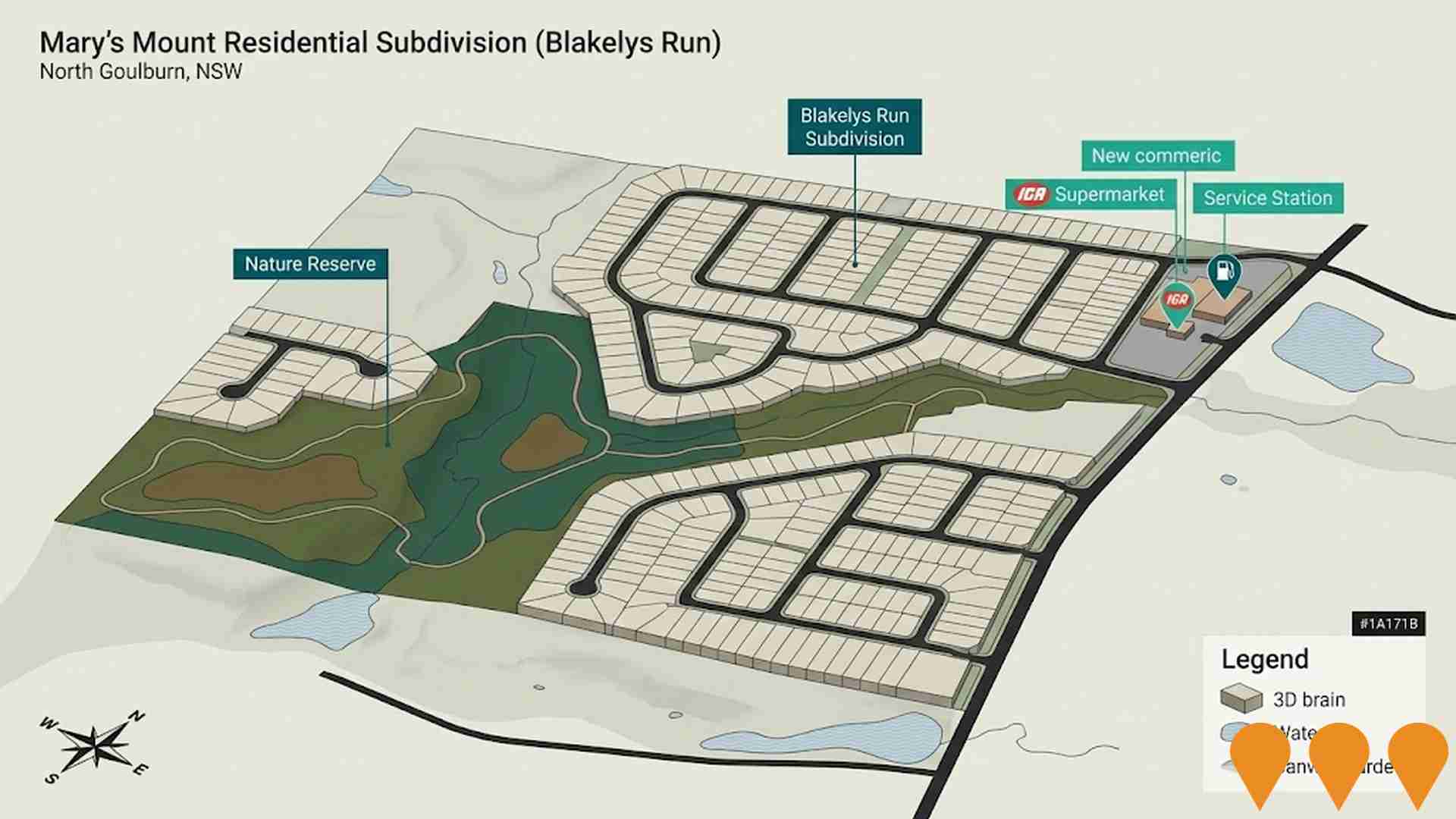
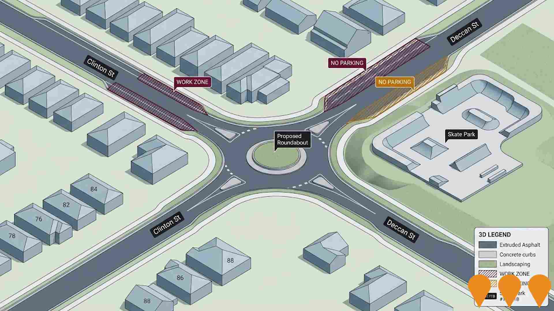
Changes to local infrastructure significantly impact an area's performance. AreaSearch has identified 61 projects likely affecting the region. Notable projects include Crookwell 3 Wind Farm, Mary's Mount Residential Subdivision (Blakelys Run), Homes NSW Social Housing Development - Crestwood, and Mistful Park Estate. The following list details those most relevant.
Professional plan users can use the search below to filter and access additional projects.
INFRASTRUCTURE SEARCH
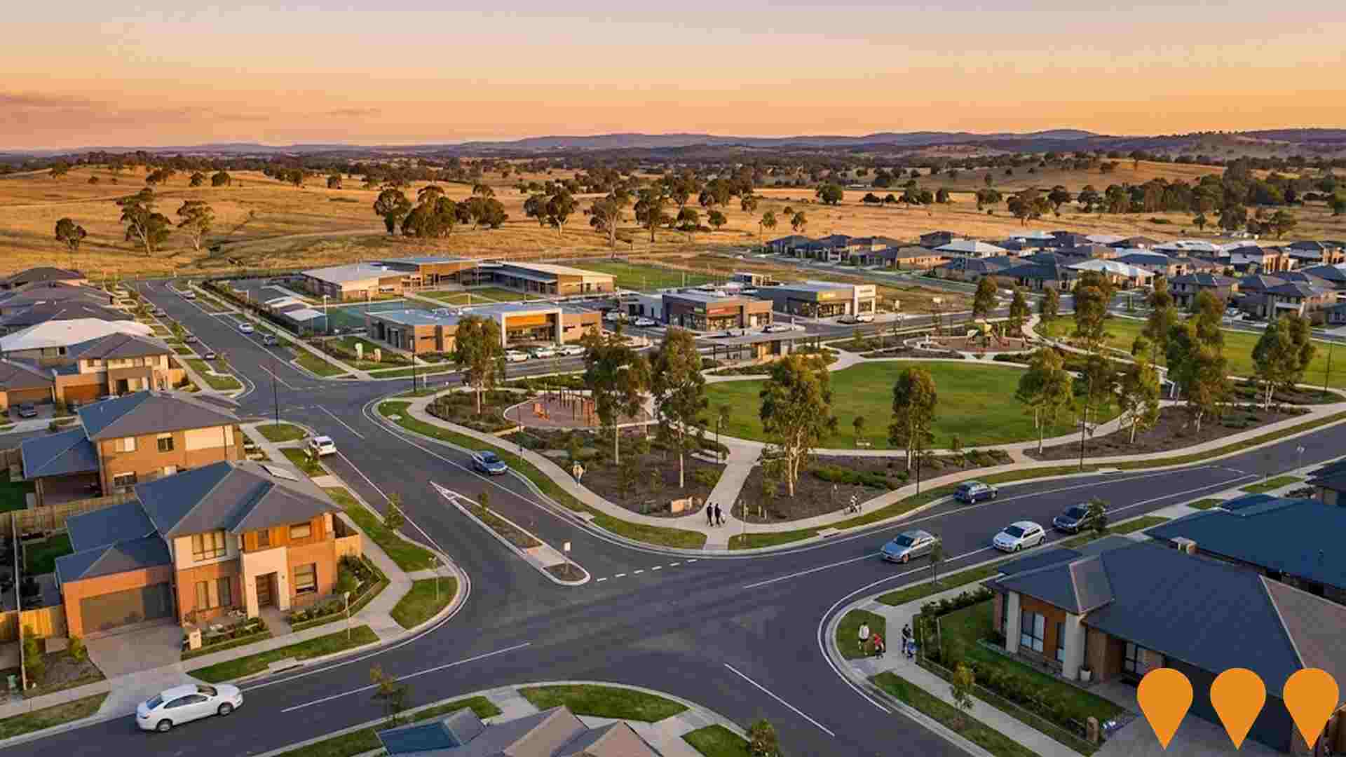
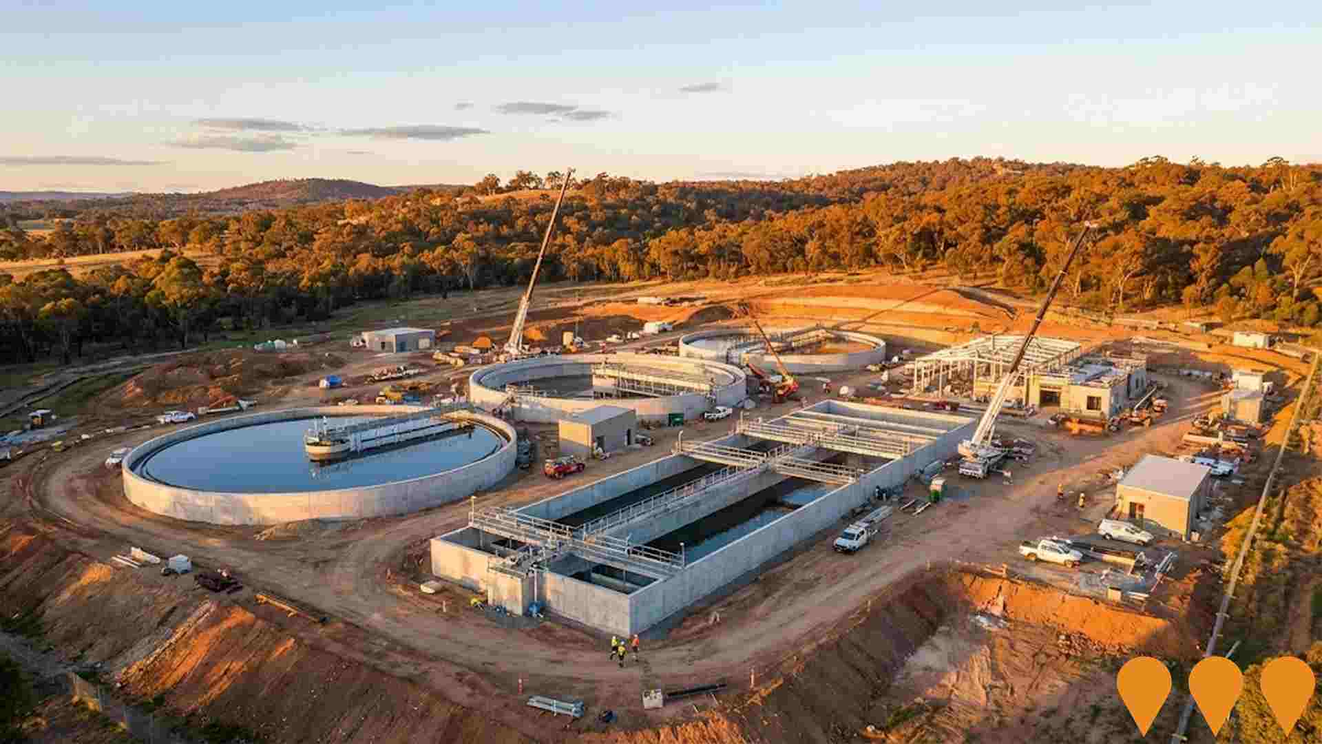
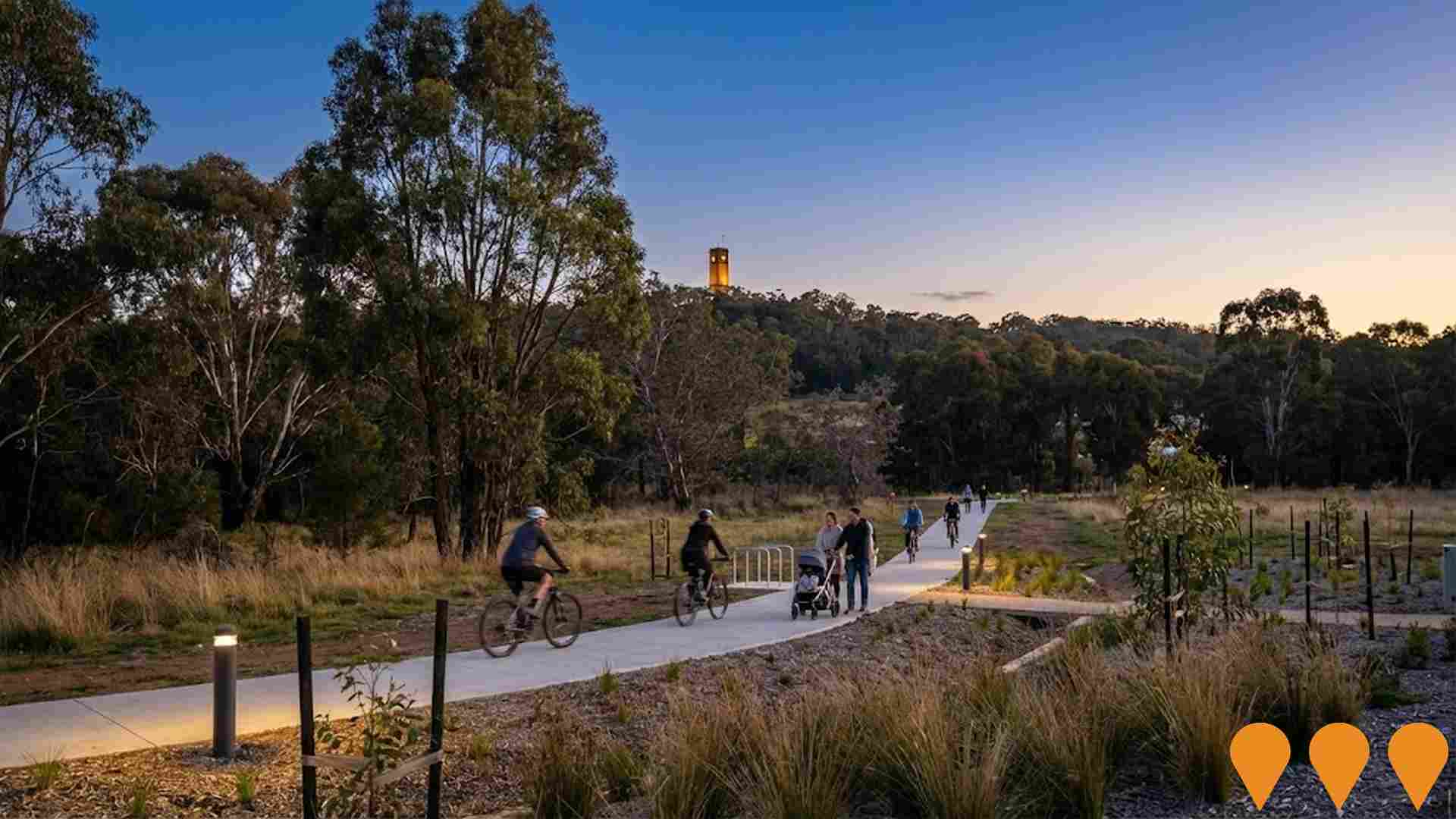
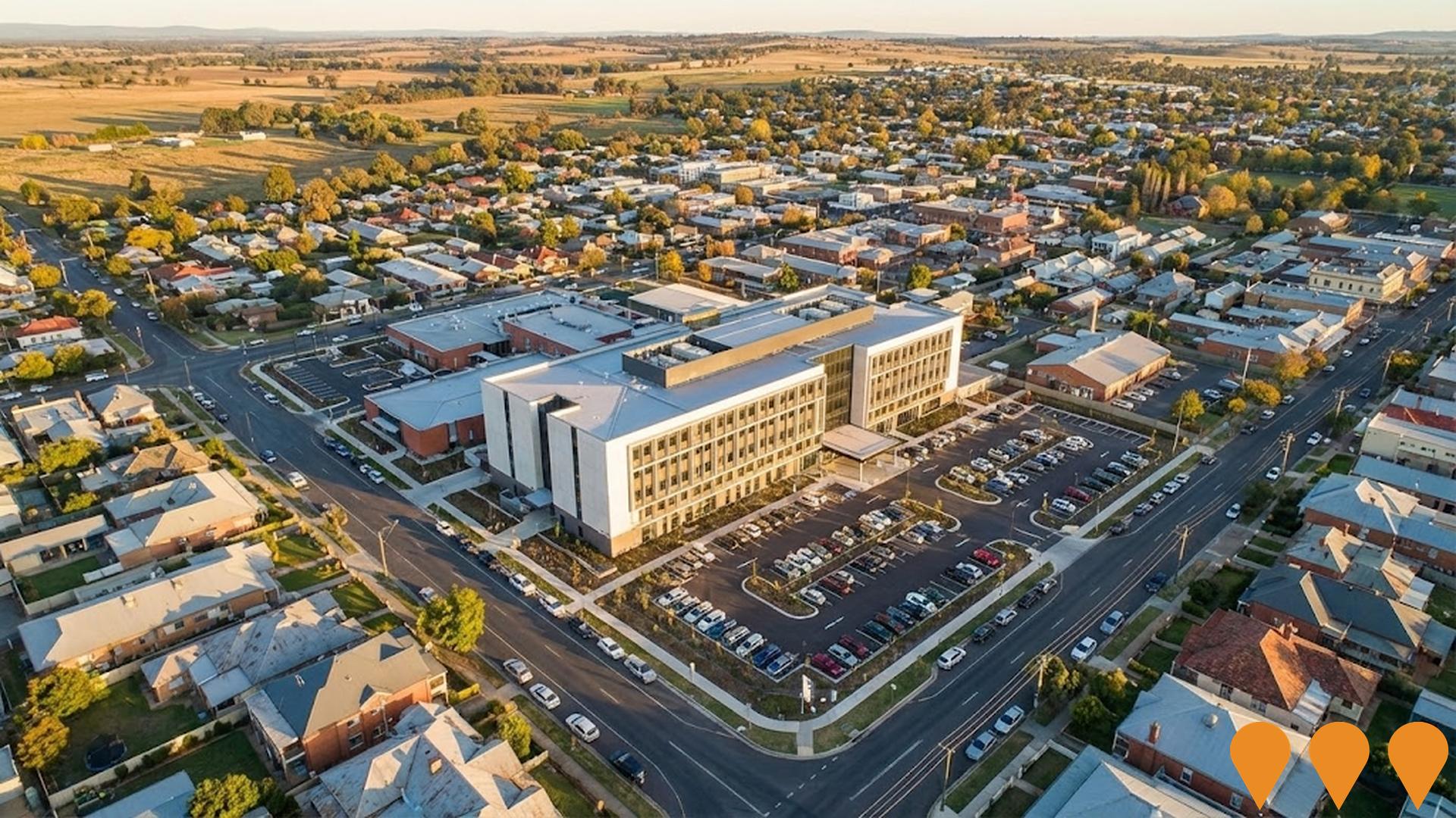
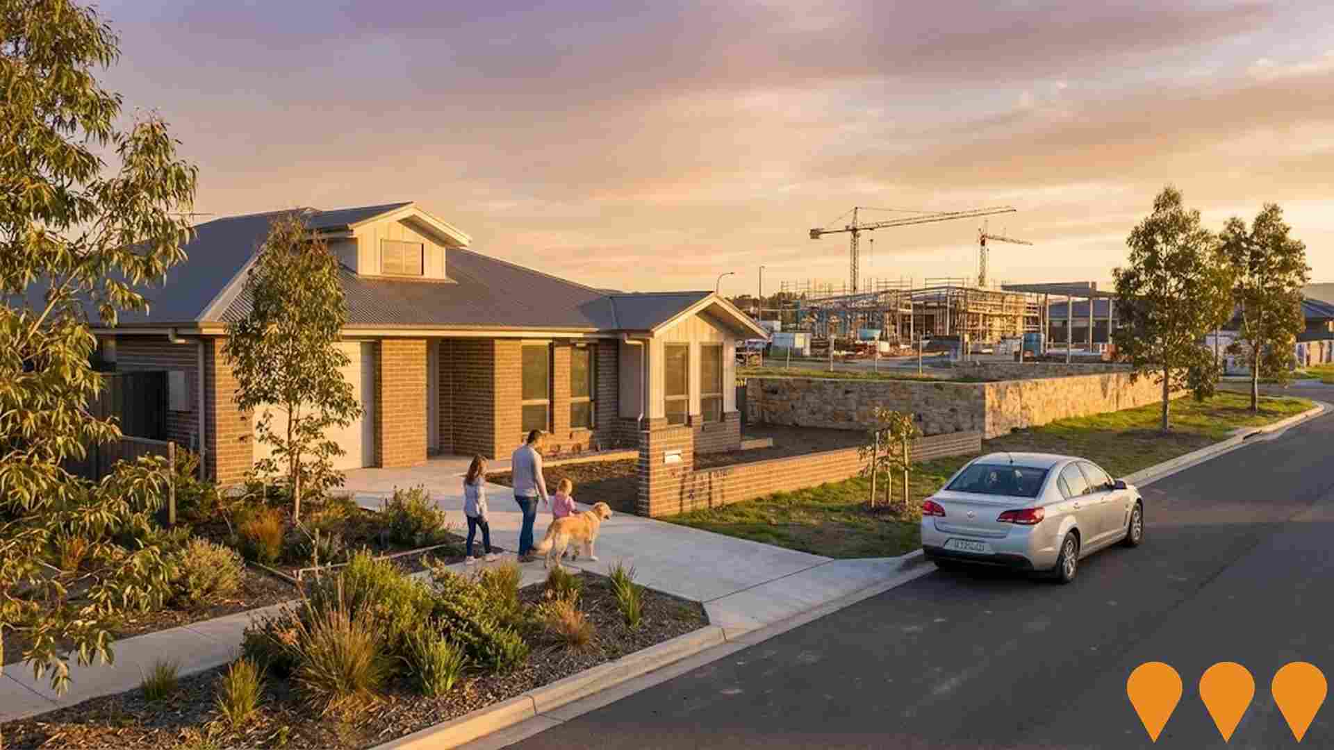
 Denotes AI-based impression for illustrative purposes only, not to be taken as definitive under any circumstances. Please follow links and conduct other investigations from the project's source for actual imagery. Developers and project owners wishing us to use original imagery please Contact Us and we will do so.
Frequently Asked Questions - Infrastructure
Goulburn Hospital Redevelopment
A $165 million redevelopment of Goulburn Hospital including a new four-storey Clinical Services Building with emergency department, operating theatres, intensive care unit, medical imaging, maternity unit, and comprehensive healthcare facilities. Completed in June 2024, this represents the most significant upgrade in the hospital's 130-year history.
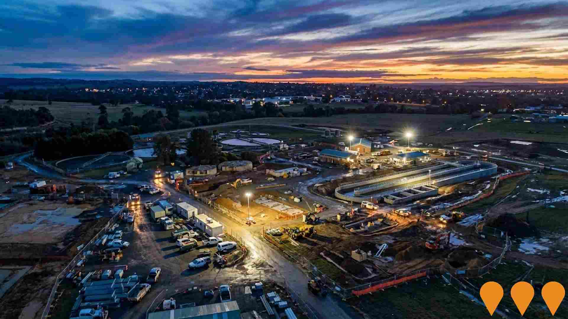
Goulburn Water and Sewer Infrastructure Upgrades
Major upgrades to Goulburn and Marulan's water treatment and sewerage infrastructure, including the Marulan Water Treatment Plant upgrade funded by $27.2 million from the Australian Government, Goulburn Wastewater Treatment Plant expansion to serve up to 40,000 equivalent persons, new water main installations, sewer pump station upgrades, water storage improvements, and water recycling enhancements to support growing population, housing development, and drought resilience.
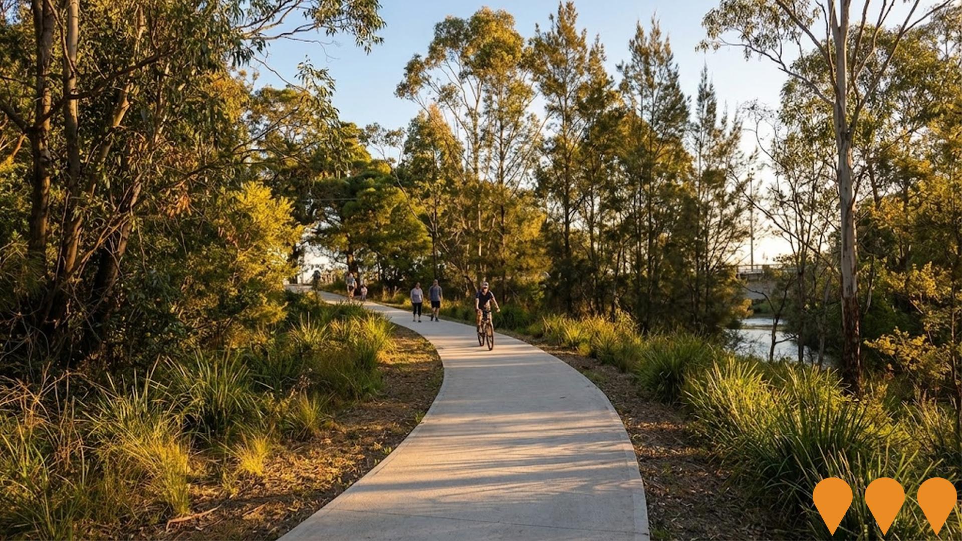
Waterway Improvement Strategy and River Walkway Development
Comprehensive waterway strategy and action plan to rehabilitate and improve the Wollondilly and Mulwaree Rivers, including river walking tracks and recreational facilities. The project has delivered over 10km of walkways since 2016 with $5.7 million invested. Ongoing work includes waterway rehabilitation, weed removal, native revegetation, and development of recreational linkages across the region. The Wollondilly River Walkway now extends 4km from Marsden Weir to Tarlo Street Bridge with plans for further extension.
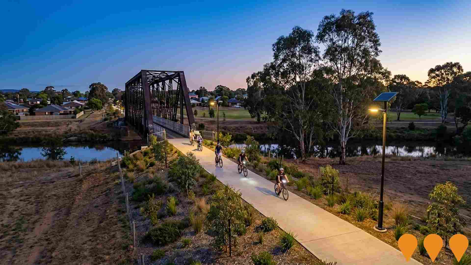
Goulburn Rail Trail
A proposed 25km rail trail within Goulburn Mulwaree Council area, utilizing the historic Goulburn to Crookwell railway corridor from Goulburn CBD to Graywood Siding at Woodhouselee. The trail will link with existing shared pathways and cross the Wollondilly River on a steel lattice bridge. Following Upper Lachlan Shire Council's withdrawal in 2022, the project was revised to focus within Goulburn Mulwaree boundaries. Projected to attract 66,065 visitors annually with $7.3 million economic injection.
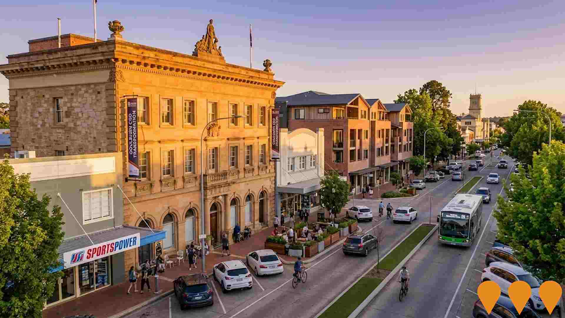
CBD & Surrounds Transformation Project
A strategic planning framework to revitalize Goulburn's CBD by increasing residential density and housing diversity while preserving heritage character. The project proposes amendments to planning controls across four key precincts to accommodate 7000 additional residents expected by 2036, enabling medium-density housing options including 1 and 2-bedroom units. Focus areas include the CBD Core, Northern Gateway Precinct, Southern Gateway Precinct, and Mixed-Use Edge. Currently on public exhibition until August 22, 2025.
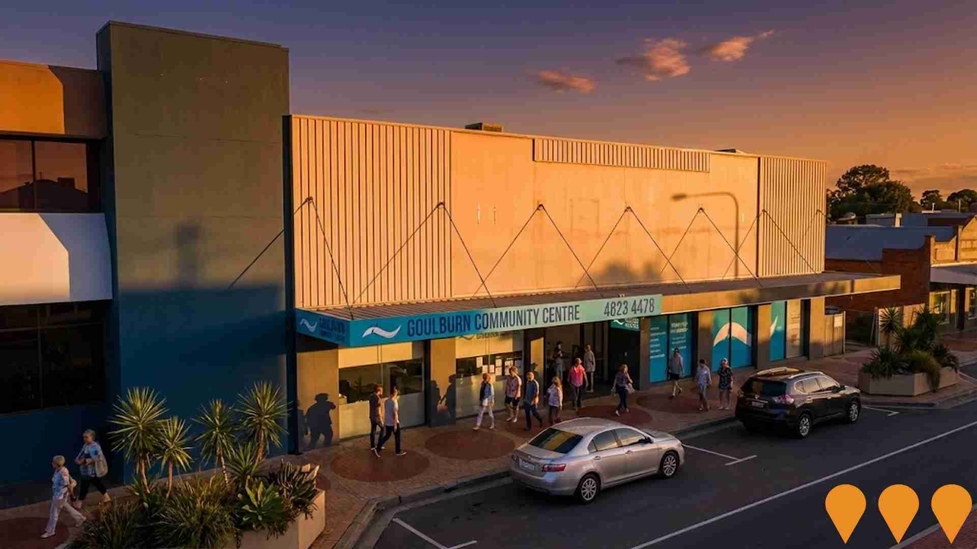
Goulburn Community Centre
Development of a modern, sustainable, environmentally friendly purpose-built civic space for community and visitors. The project will act as a central anchor for Council's Community Services Programs and provide community, social, recreation, respite and event opportunities suitable for a wide range of ages and abilities. The project was deferred in September 2023 due to financial constraints but remains a priority project for 2023-2026.
Crookwell 3 Wind Farm
Operational 16-turbine wind farm near Goulburn delivering ~58 MW. Developed and operated by GPG Australia with an 80% offtake PPA to Telstra. Commissioning completed and project handed to operations in early 2025.

Mistful Park Estate
A 5-stage, 212-lot residential estate development by Ganter Constructions featuring residential blocks from 700-3700sqm, commercial precinct with supermarket opening in 2025, service station construction commencing soon, cafe, and community facilities. Stages 1, 2, 3, and 5 sold out, Stage 4A in progress with 5 blocks remaining in first release and 4 new blocks released.
Employment
AreaSearch assessment positions Goulburn Surrounds ahead of most Australian regions for employment performance
Goulburn Surrounds has a skilled workforce with diverse sector representation and an unemployment rate of 2.1% as of September 2025. It has 7,304 residents in work, with an unemployment rate 1.7% below Rest of NSW's rate of 3.8%.
Workforce participation is broadly similar to Rest of NSW's 56.4%. Employment among residents is concentrated in agriculture, forestry & fishing, health care & social assistance, and construction. The area has a particular employment specialization in agriculture, forestry & fishing, with an employment share 3.6 times the regional level. Meanwhile, health care & social assistance has limited presence with 11.5% employment compared to 16.9% regionally.
AreaSearch analysis of SALM and ABS data for the 12-month period ending September 2025 shows labour force decreasing by 5.3% while employment declined by 5.5%, causing unemployment rate to rise by 0.1 percentage points. This compares to Rest of NSW where employment fell by 0.5%, labour force contracted by 0.1%, and unemployment rose 0.4 percentage points. State-level data as of 25-Nov-25 shows NSW employment contracted by 0.03% (losing 2,260 jobs), with state unemployment rate at 3.9%. National unemployment rate is 4.3%. Jobs and Skills Australia's national employment forecasts from May-25 suggest national employment will expand by 6.6% over five years and 13.7% over ten years. Applying these projections to Goulburn Surrounds' employment mix suggests local employment should increase by 5.6% over five years and 12.0% over ten years.
Frequently Asked Questions - Employment
Income
Income levels sit below national averages according to AreaSearch assessment
AreaSearch's latest postcode level ATO data for financial year 2022 shows Goulburn Surrounds SA2 had a median income of $49,647 and an average income of $62,322 among taxpayers. This is below the national average. The Rest of NSW had a median income of $49,459 and an average income of $62,998 during the same period. Based on Wage Price Index growth of 12.61%, current estimates for Goulburn Surrounds would be approximately $55,907 (median) and $70,181 (average) as of September 2025. According to Census 2021 income data, household, family, and personal incomes in Goulburn Surrounds rank modestly, between the 35th and 36th percentiles. Income analysis reveals that 30.2% of individuals (4,632) earn between $1,500 and $2,999, reflecting patterns seen at regional levels where 29.9% occupy this range. Housing costs are manageable with 88.0% retained, but disposable income is below average at the 41st percentile. The area's SEIFA income ranking places it in the 5th decile.
Frequently Asked Questions - Income
Housing
Goulburn Surrounds is characterized by a predominantly suburban housing profile, with above-average rates of outright home ownership
In Goulburn Surrounds, as per the latest Census evaluation, 98.1% of dwellings were houses, with the remaining 1.9% comprising semi-detached homes, apartments, and other types. This is in contrast to Non-Metro NSW's dwelling structure, which was 89.3% houses and 10.7% other dwellings. Home ownership in Goulburn Surrounds stood at 51.2%, with mortgaged dwellings accounting for 35.3% and rented ones making up 13.5%. The median monthly mortgage repayment in the area was $1,733, surpassing Non-Metro NSW's average of $1,694. The median weekly rent figure in Goulburn Surrounds was $300, lower than Non-Metro NSW's $310. Nationally, mortgage repayments were lower at $1,863, and rents were substantially below the national average of $375.
Frequently Asked Questions - Housing
Household Composition
Goulburn Surrounds has a typical household mix, with a higher-than-average median household size
Family households account for 73.0% of all households, including 28.3% couples with children, 36.6% couples without children, and 7.7% single parent families. Non-family households constitute the remaining 27.0%, with lone person households at 25.3% and group households comprising 1.6%. The median household size is 2.5 people, which is larger than the Rest of NSW average of 2.4.
Frequently Asked Questions - Households
Local Schools & Education
Educational outcomes in Goulburn Surrounds fall within the lower quartile nationally, indicating opportunities for improvement in qualification attainment
The area's university qualification rate is 17.8%, significantly lower than NSW's average of 32.2%. Bachelor degrees are the most common at 12.3%, followed by postgraduate qualifications (3.5%) and graduate diplomas (2.0%). Vocational credentials are prevalent, with 43.9% of residents aged 15+ holding them, including advanced diplomas (11.6%) and certificates (32.3%). Educational participation is high at 27.5%, with 10.0% in primary education, 8.6% in secondary education, and 2.6% pursuing tertiary education.
Educational participation is notably high, with 27.5% of residents currently enrolled in formal education. This includes 10.0% in primary education, 8.6% in secondary education, and 2.6% pursuing tertiary education.
Frequently Asked Questions - Education
Schools Detail
Nearby Services & Amenities
Transport
Transport servicing is low compared to other areas nationally based on assessment of service frequency, route connectivity and accessibility
Goulburn Surrounds has 711 active public transport stops, including train and bus services. These are served by 50 individual routes that collectively provide 858 weekly passenger trips. Residents have good accessibility to transport, with an average distance of 254 meters to the nearest stop.
Service frequency averages 122 trips per day across all routes, resulting in approximately one weekly trip per stop.
Frequently Asked Questions - Transport
Transport Stops Detail
Health
Health performance in Goulburn Surrounds is well below average with prevalence of common health conditions notable across both younger and older age cohorts
Health data indicates significant challenges in Goulburn Surrounds with high prevalence of common health conditions across both younger and older age groups.
Private health cover stands at approximately 51% of the total population (~7,839 people), slightly lower than the average SA2 area. The most prevalent medical conditions are arthritis (affecting 12.1% of residents) and asthma (7.8%). Notably, 62.8% of residents report being completely free from medical ailments, compared to 61.3% in Rest of NSW. The area has a higher proportion of residents aged 65 and over at 23.8% (3,654 people), compared to the 21.7% in Rest of NSW.
Frequently Asked Questions - Health
Cultural Diversity
Goulburn Surrounds is considerably less culturally diverse than average when assessed alongside AreaSearch's national rankings for language and cultural background related metrics
Goulburn Surrounds was found to have low cultural diversity, with 89.5% of its population being Australian citizens, born in Australia (89.8%), and speaking English only at home (96.1%). Christianity is the predominant religion in Goulburn Surrounds, comprising 66.7%, compared to 64.0% across Rest of NSW. The top three ancestry groups are Australian (32.2%), English (31.5%), and Irish (11.0%).
Notably, Maltese (0.8%) and Scottish (8.2%) populations are higher than the regional averages of 0.5% and 7.8%, respectively. However, Lebanese population is slightly lower at 0.3%.
Frequently Asked Questions - Diversity
Age
Goulburn Surrounds hosts an older demographic, ranking in the top quartile nationwide
Goulburn Surrounds' median age is 48 years, which is significantly older than Rest of NSW's median age of 43 and higher than Australia's median age of 38. The age profile shows that the 55-64 year-old group makes up 16.9% of the population, while the 25-34 year-old group constitutes only 8.8%. Post-2021 Census data indicates that the 75 to 84 age group has grown from 6.9% to 7.9%, and the 45 to 54 age cohort has decreased from 13.6% to 12.6%. By 2041, demographic modeling suggests significant changes in Goulburn Surrounds' age profile. The 35-44 age group is projected to grow by 309 people (an 18% increase) from 1,673 to 1,983. Conversely, the number of individuals aged 15-24 is expected to decrease by 95.
