Chart Color Schemes
This analysis uses ABS Statistical Areas Level 2 (SA2) boundaries, which can materially differ from Suburbs and Localities (SAL) even when sharing similar names.
SA2 boundaries are defined by the Australian Bureau of Statistics and are designed to represent communities for statistical reporting (e.g., census and ERP).
Suburbs and Localities (SAL) represent commonly-used suburb/locality names (postal-style areas) and may use different geographic boundaries. For comprehensive analysis, consider reviewing both boundary types if available.
est. as @ -- *
ABS ERP | -- people | --
2021 Census | -- people
Sales Activity
Curious about local property values? Filter the chart to assess the volume and appreciation (including resales) trends and regional comparisons, or scroll to the map below view this information at an individual property level.
Find a Recent Sale
Sales Detail
Population
Beresfield - Hexham is positioned among the lower quartile of areas assessed nationally for population growth based on AreaSearch's assessment of recent, and medium term trends
Beresfield-Hexham's population is 8,980 as of November 2025, an increase of 419 people (4.9%) since the 2021 Census which reported a population of 8,561. This change is inferred from ABS' estimated resident population of 8,680 in June 2024 and 150 validated new addresses since the Census date. The population density is 151 persons per square kilometer. Beresfield-Hexham's growth rate of 4.9% since the census is within 0.2 percentage points of non-metro areas' 5.1%, indicating competitive growth fundamentals. Overseas migration contributed approximately 55.1% of overall population gains recently. AreaSearch uses ABS/Geoscience Australia projections for each SA2 area, released in 2024 with a base year of 2022, and NSW State Government's SA2 level projections for areas not covered, released in 2022 with a base year of 2021.
Growth rates by age group are applied to all areas from 2032 to 2041. Projected demographic shifts anticipate lower quartile growth in Australia's non-metropolitan areas, with Beresfield-Hexham expected to increase by 270 persons to 2041, reflecting a decrease of 0.3% over the 17 years based on latest annual ERP population numbers.
Frequently Asked Questions - Population
Development
AreaSearch assessment of residential development drivers sees a low level of activity in Beresfield - Hexham, placing the area among the bottom 25% of areas assessed nationally
Beresfield-Hexham has averaged approximately 15 new dwelling approvals annually over the past five financial years, totalling 78 homes. As of FY26, 9 approvals have been recorded. On average, 0.5 new residents per year per dwelling constructed were added between FY21 and FY25. This suggests that new construction is meeting or exceeding demand, providing more options for buyers and enabling population growth.
The average construction value of these properties was $208,000, below regional norms, indicating more affordable housing options. In FY26, commercial approvals totalled $57.1 million, reflecting high local commercial activity. Compared to the Rest of NSW, Beresfield-Hexham has significantly less development activity, at 67.0% below the regional average per person. This scarcity typically strengthens demand and prices for existing properties, although recent periods have seen increased development activity. The area's new building activity consists of 75.0% standalone homes and 25.0% attached dwellings, preserving its low-density nature and attracting space-seeking buyers. This shift from the current housing composition (93.0% houses) suggests decreasing availability of developable sites and changing lifestyles requiring diverse, affordable housing options.
The estimated population per dwelling approval is 527 people, reflecting a quiet, low-activity development environment. Stable or declining population forecasts may indicate less housing pressure in the area, creating favourable conditions for buyers.
Frequently Asked Questions - Development
Infrastructure
Beresfield - Hexham has strong levels of nearby infrastructure activity, ranking in the top 30% nationally
Changes to local infrastructure significantly influence an area's performance. AreaSearch has identified 18 projects that could impact the area. Major projects include Beresfield Industrial Park Expansion, M1 Pacific Motorway Extension to Raymond Terrace, Beresfield Residential Precinct, and Thornton Rail Bridge Duplication. The following list details those most relevant.
Professional plan users can use the search below to filter and access additional projects.
INFRASTRUCTURE SEARCH
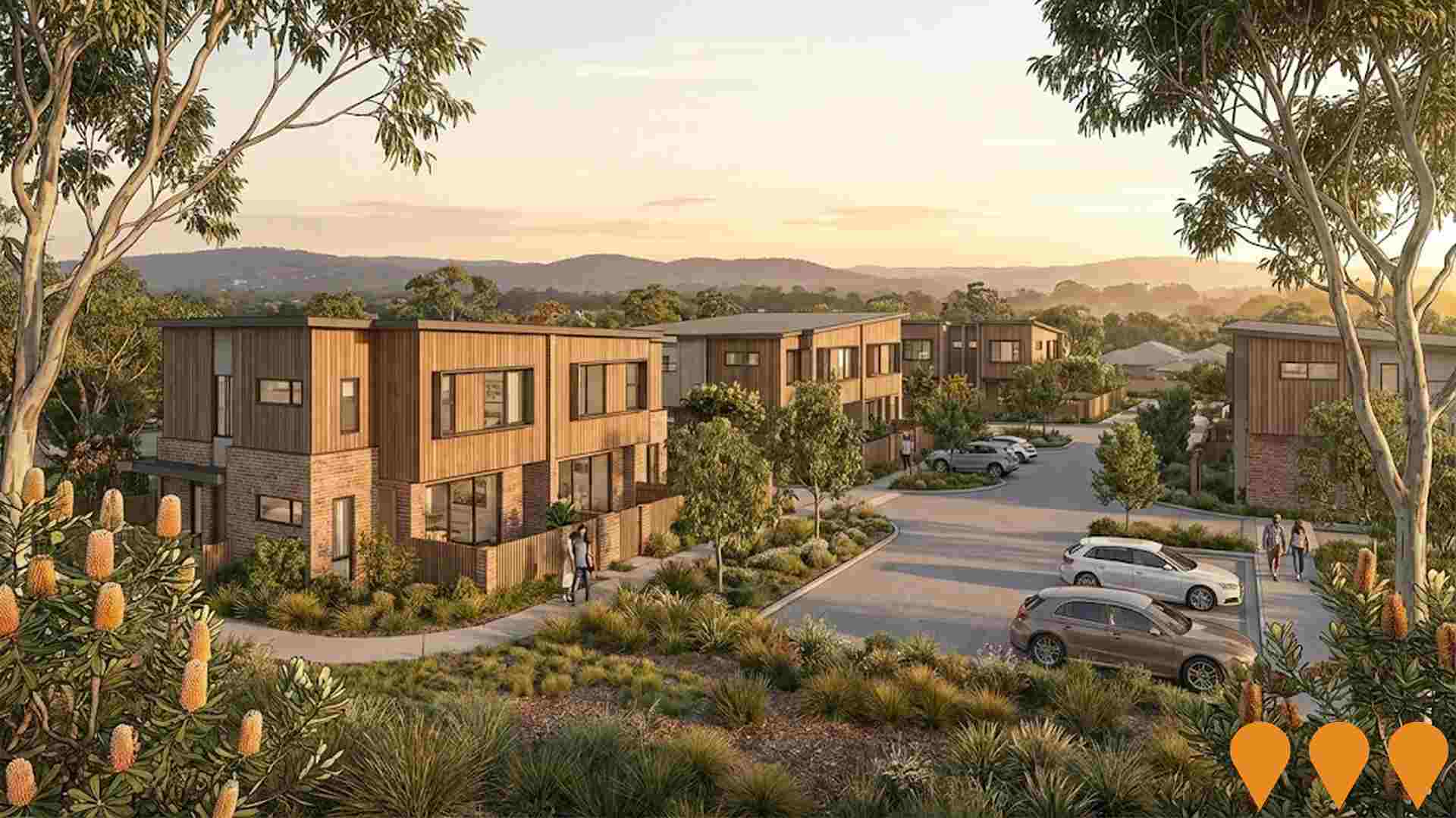
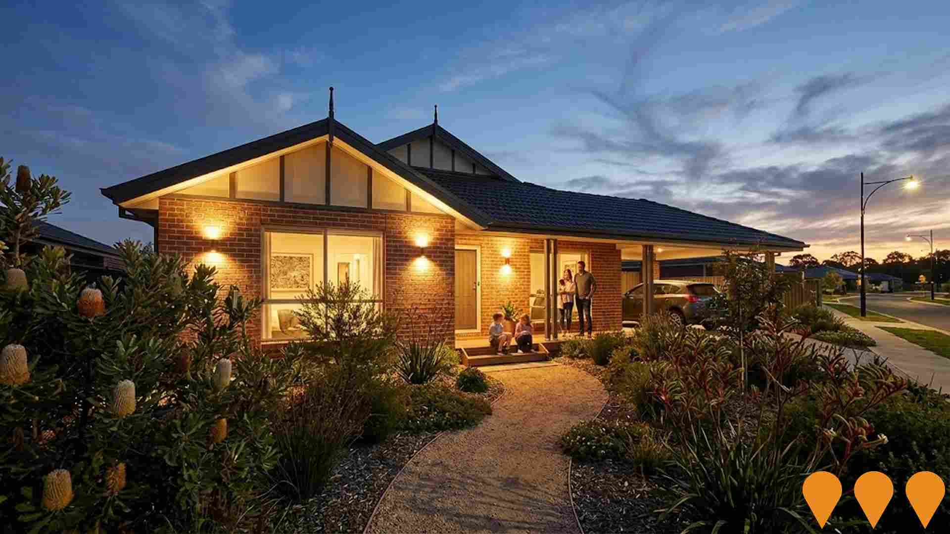
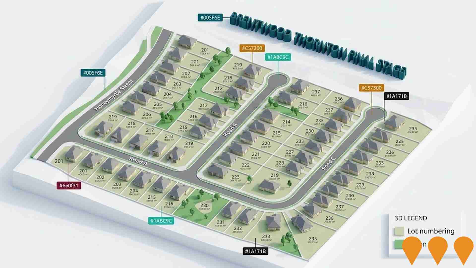
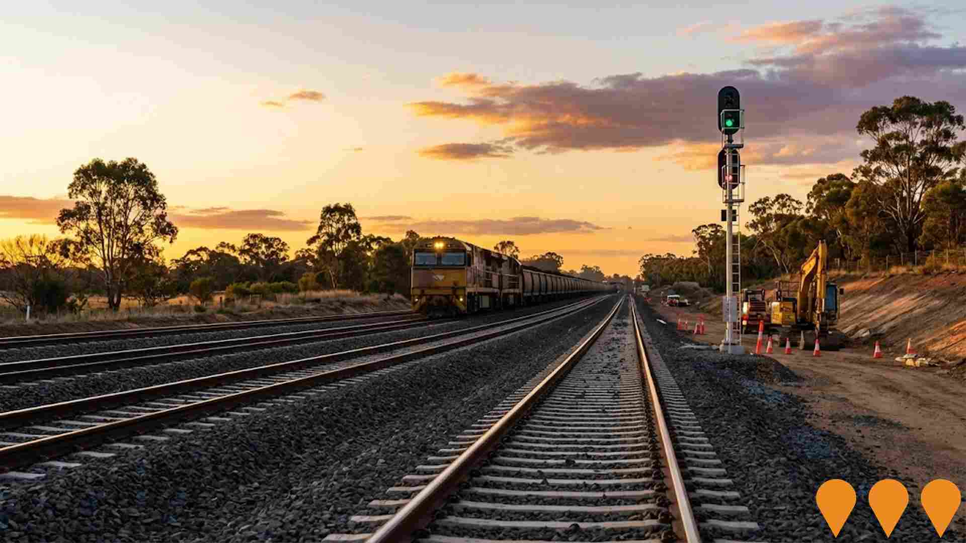
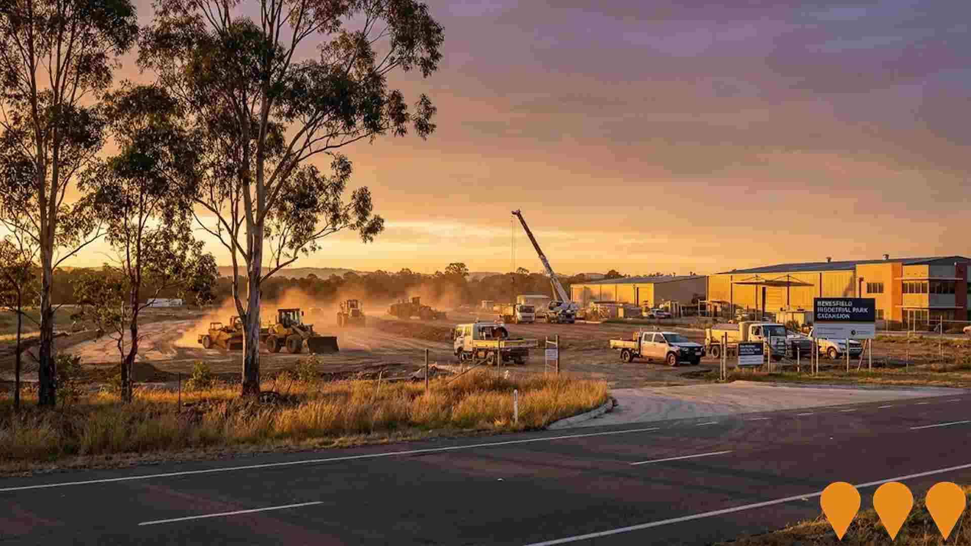
 Denotes AI-based impression for illustrative purposes only, not to be taken as definitive under any circumstances. Please follow links and conduct other investigations from the project's source for actual imagery. Developers and project owners wishing us to use original imagery please Contact Us and we will do so.
Frequently Asked Questions - Infrastructure
Raymond Terrace and Heatherbrae Strategy 2020-2040
A long-term strategic plan to revitalise Raymond Terrace into a strong regional centre. The strategy includes the Raymond Terrace Public Domain Plan, mixed-use precincts, town centre streetscape upgrades, and the delivery of approximately 2,500 new homes by 2041 to support population growth.
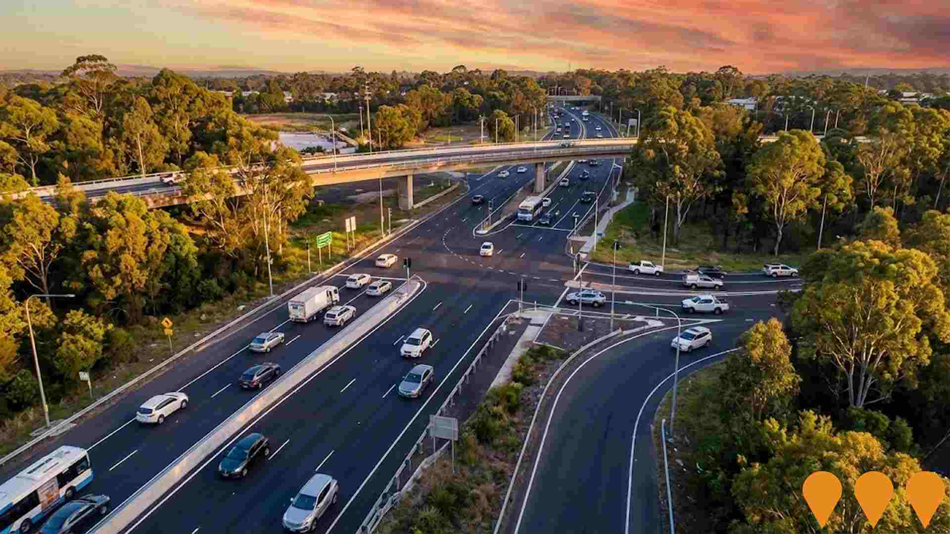
M1 Pacific Motorway Extension to Raymond Terrace
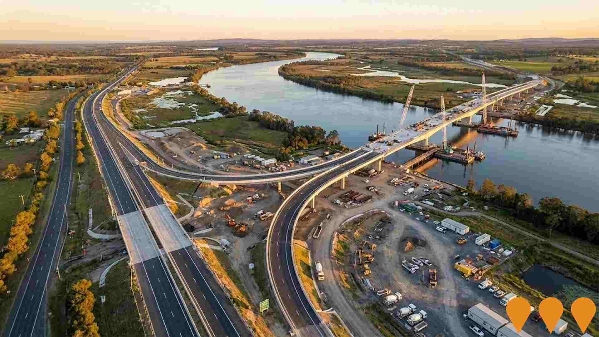
A $2.1 billion, 15-kilometre dual carriageway motorway extension from Black Hill to Raymond Terrace, bypassing Hexham and Heatherbrae. Key features include a 2.6-kilometre viaduct over the Hunter River, Main North Rail Line, New England Highway, and floodplains; new interchanges at Black Hill, Tarro, Tomago, and Raymond Terrace; and widening of Hexham Straight. Construction is progressing steadily across the full 15-kilometre alignment, with key milestones including the completion of piling in the Hunter River, installation of bridge girders and deck pours on the 2.6-kilometre viaduct and various interchanges, and the opening of new sections of road, such as a bridge at Black Hill. The project is jointly funded by the Australian and NSW governments and is expected to open to traffic in mid-2028. It will reduce peak travel time by 7-9 minutes and remove up to 25,000 vehicles per day from key congestion points, supporting approximately 2,700 jobs during construction.
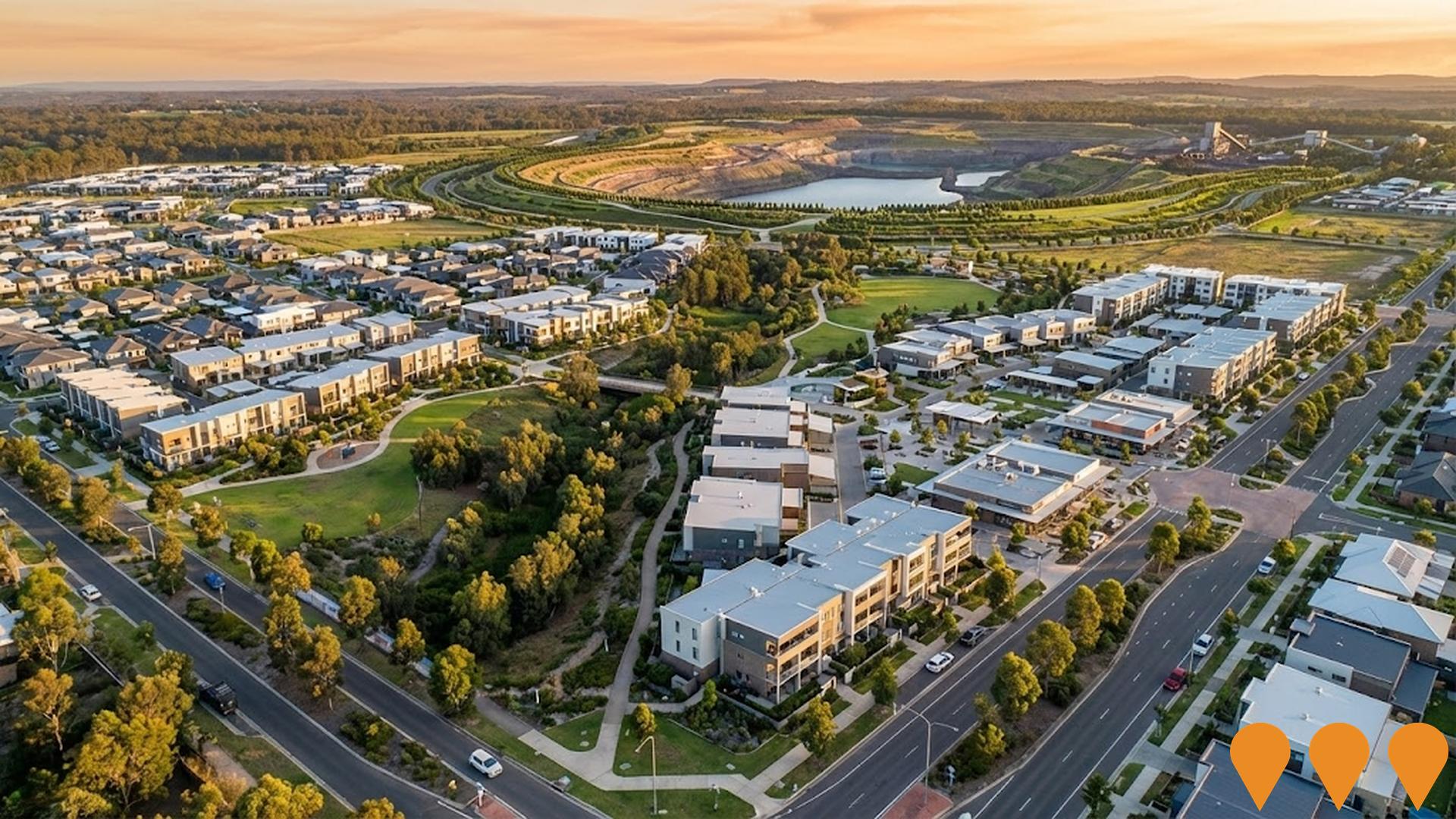
Stony Pinch Urban Development
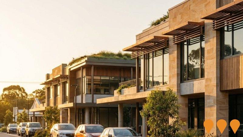
Long-term conceptual urban development proposal for the post-mining rehabilitation of the Bloomfield Colliery site in Ashtonfield, lower Hunter Valley. The site spans approximately 3,600 hectares and is envisioned to accommodate up to 19,200 dwellings along with employment lands, town centre, recreation facilities and preserved bushland. The Bloomfield Colliery is currently operational with mining approval until 2035. Specific development timelines and details for the urban transformation remain subject to mine rehabilitation completion and future planning approvals under the Stony Pinch consortium and Ashtonfields Agreement.
Tomago Battery Energy Storage System (BESS)
A 500 MW / 2,000 MWh grid-scale battery energy storage system (BESS) developed by AGL to improve grid reliability and support the transition to net-zero emissions in the Hunter-Central Coast Renewable Energy Zone. The battery has grid-forming capability and is one of Australia's largest BESS developments. Construction commenced recently following a Final Investment Decision (FID) in July 2025. The total construction cost is estimated to be approximately A$800 million. The project will create around 200 jobs during construction and 6 full-time operational jobs.

Pacific Highway Improvements Hexham
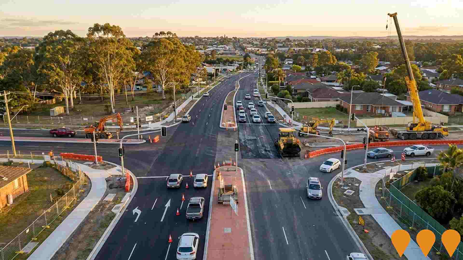
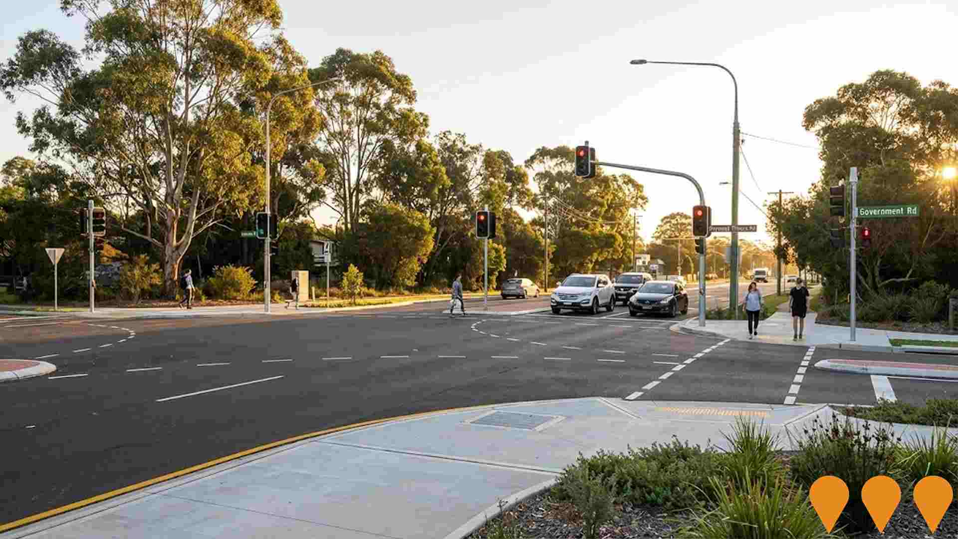
Six-kilometre upgrade of Pacific Highway (Maitland Road) between Newcastle Inner City Bypass and Hexham including new bridges, wider lanes, and flood-resistant infrastructure.
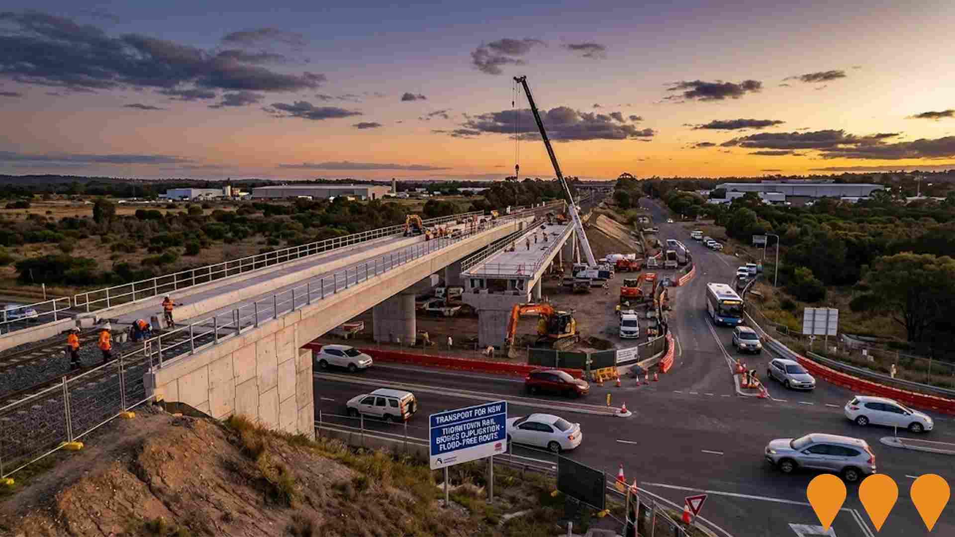
Thornton Rail Bridge Duplication
Duplication of the existing Thornton rail bridge to alleviate peak hour congestion and provide a flood-free route connecting northern Maitland to the M1, Pacific Highway and Hunter Expressway. Transport for NSW is currently undertaking early works including road surface surveys to inform design solutions. The project will ease congestion for the 7000 new residents and 3500 new jobs expected in the region over the next 20 years.
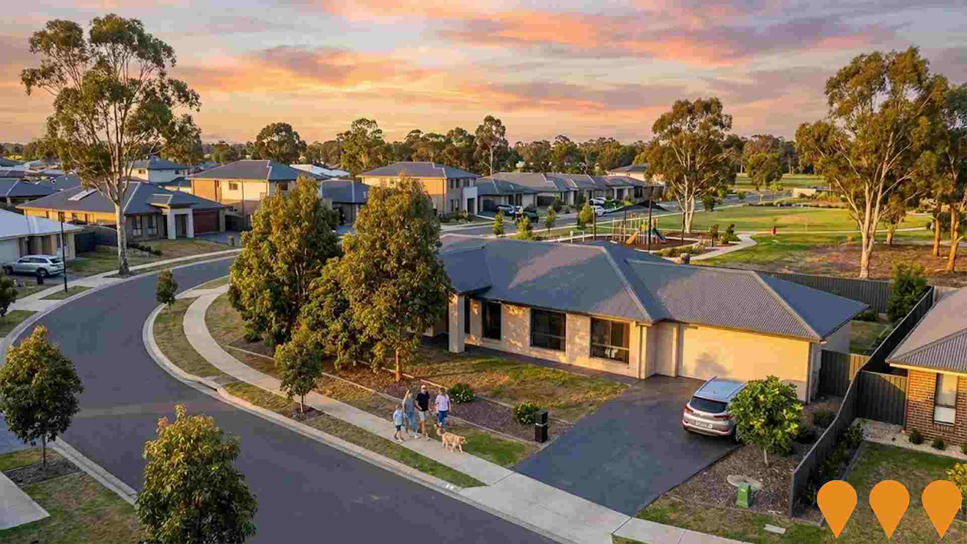
Wirraway Thornton
A completed 511-lot residential development spanning 58 hectares in the lower Hunter Valley, creating a parkland community with quality homes for Defence families and the public. Features 16 hectares of open spaces, cycle tracks, Wirraway Park with aviation-themed playground, half-sized basketball court, fitness station, and community amenities. Now home to over 500 families including 250 Defence families.
Beresfield Industrial Park Expansion
Industrial land subdivision at 40 Weakleys Drive to expand supply of serviced industrial lots within the Beresfield/Weakleys Drive precinct. Recent records show DA2023/00186 (two into nine lot subdivision including road) with a 2025 Section 4.55(1A) modification application (MA2025/00326) under the City of Newcastle, indicating the project is progressing with post-consent changes.
Employment
Employment conditions in Beresfield - Hexham face significant challenges, ranking among the bottom 10% of areas assessed nationally
Beresfield-Hexham has a diverse workforce with strong representation in manufacturing and industrial sectors. The unemployment rate was 8.6% as of September 2025, with an estimated employment growth of 1.2% over the past year.
There are 3,904 residents employed, with an unemployment rate of 4.8%, higher than Rest of NSW's rate of 3.8%. Workforce participation is similar to Rest of NSW at 56.4%. Dominant employment sectors include health care & social assistance, manufacturing, and construction. Manufacturing stands out with employment levels at 2.0 times the regional average.
Education & training is under-represented with only 5.7% compared to 9.6% in Rest of NSW. There is one worker for every resident, indicating it functions as an employment hub attracting workers from surrounding areas. Between September 2024 and September 2025, employment increased by 1.2%, labour force increased by 3.4%, resulting in unemployment rising by 2.0 percentage points. In contrast, Rest of NSW saw employment contract by 0.5% with unemployment rising by 0.4 percentage points. State-level data to 25-Nov-25 shows NSW employment contracted by 0.03% with an unemployment rate of 3.9%, favourably comparing to the national rate of 4.3%. Jobs and Skills Australia's national employment forecasts from May-25 project national employment growth at 6.6% over five years and 13.7% over ten years, but growth rates vary significantly between sectors. Applying these projections to Beresfield-Hexham's employment mix suggests local employment should increase by 5.9% over five years and 12.8% over ten years.
Frequently Asked Questions - Employment
Income
Income levels sit below national averages according to AreaSearch assessment
The income level in Beresfield - Hexham SA2 is aligned with national averages according to the latest Australian Taxation Office data aggregated by AreaSearch for financial year 2022. The median income among taxpayers in this area was $55,616 and the average income stood at $64,656. These figures compare to those of Rest of NSW which were $49,459 and $62,998 respectively. Based on Wage Price Index growth of 12.61% since financial year 2022, current estimates would be approximately $62,629 (median) and $72,809 (average) as of September 2025. According to the 2021 Census figures, household, family and personal incomes in Beresfield - Hexham all fall between the 16th and 16th percentiles nationally. Income analysis reveals that the $1,500 - 2,999 income bracket dominates with 30.3% of residents (2,720 people), which aligns with the surrounding region where this cohort likewise represents 29.9%. Housing affordability pressures are severe in Beresfield - Hexham SA2, with only 82.5% of income remaining after housing costs, ranking at the 15th percentile nationally.
Frequently Asked Questions - Income
Housing
Beresfield - Hexham is characterized by a predominantly suburban housing profile, with above-average rates of outright home ownership
Beresfield-Hexham's dwelling structure, as per the latest Census, comprised 93.1% houses and 6.9% other dwellings (semi-detached, apartments, 'other' dwellings). This compares to Non-Metro NSW's 70.5% houses and 29.5% other dwellings. Home ownership in Beresfield-Hexham was at 35.8%, with mortgaged dwellings at 34.2% and rented ones at 29.9%. The median monthly mortgage repayment was $1,450, lower than Non-Metro NSW's average of $1,962. The median weekly rent figure was $340, compared to Non-Metro NSW's $400. Nationally, Beresfield-Hexham's mortgage repayments were significantly lower at $1,450 versus the Australian average of $1,863, and rents were less at $340 compared to the national figure of $375.
Frequently Asked Questions - Housing
Household Composition
Beresfield - Hexham has a typical household mix, with a fairly typical median household size
Family households account for 68.4% of all households, including 23.9% couples with children, 25.3% couples without children, and 17.3% single parent families. Non-family households constitute the remaining 31.6%, with lone person households at 28.3% and group households comprising 3.5%. The median household size is 2.4 people, which aligns with the average for the Rest of NSW.
Frequently Asked Questions - Households
Local Schools & Education
Beresfield - Hexham faces educational challenges, with performance metrics placing it in the bottom quartile of areas assessed nationally
The area's university qualification rate is 9.6%, significantly lower than the NSW average of 32.2%. This discrepancy presents both a challenge and an opportunity for targeted educational initiatives. Bachelor degrees are most common at 7.6%, followed by postgraduate qualifications (1.2%) and graduate diplomas (0.8%). Vocational credentials are prominent, with 39.1% of residents aged 15+ holding them, including advanced diplomas (7.5%) and certificates (31.6%).
Educational participation is high, with 26.5% of residents currently enrolled in formal education. This includes primary education (10.0%), secondary education (6.9%), and tertiary education (3.2%).
Frequently Asked Questions - Education
Schools Detail
Nearby Services & Amenities
Transport
Transport servicing is high compared to other areas nationally based on assessment of service frequency, route connectivity and accessibility
Beresfield-Hexham has 100 active public transport stops offering a mix of train and bus services. These stops are served by 81 individual routes that facilitate 4,994 weekly passenger trips in total. The area's transport accessibility is rated excellent, with residents on average located just 158 meters from the nearest stop.
Across all routes, service frequency averages 713 trips per day, equating to approximately 49 weekly trips per individual stop.
Frequently Asked Questions - Transport
Transport Stops Detail
Health
Health performance in Beresfield - Hexham is a key challenge with a range of health conditions having marked impacts on both younger and older age cohorts
Beresfield-Hexham faces significant health challenges, with various conditions affecting both younger and older residents. Private health cover stands at approximately 52% (~4,660 people), higher than the average SA2 area but lower than Rest of NSW at 55.6%.
The most prevalent medical conditions are arthritis (11.5%) and mental health issues (10.9%), while 57.6% report no medical ailments compared to 64.9% in Rest of NSW. Residents aged 65 and over comprise 20.4% (1,832 people), higher than the 16.7% in Rest of NSW. Senior health outcomes align with the general population's health profile.
Frequently Asked Questions - Health
Cultural Diversity
Beresfield - Hexham is considerably less culturally diverse than average when assessed alongside AreaSearch's national rankings for language and cultural background related metrics
Beresfield-Hexham showed cultural homogeneity with 91.2% of residents born in Australia, 92.2% being citizens, and 94.9% speaking English only at home as of the 2016 Census. Christianity was the predominant religion, accounting for 54.6%, compared to 47.7% regionally. Ancestry-wise, Australian (33.4%), English (31.5%), and Australian Aboriginal (7.5%) were the top groups, with Australians being more prevalent than the regional average of 27.5%.
Notable differences included Maori (0.7% vs 0.3%), Macedonian (0.2% vs 0.8%), and Samoan (0.2% vs 0.1%) representation.
Frequently Asked Questions - Diversity
Age
Beresfield - Hexham's population aligns closely with national norms in age terms
The median age in Beresfield - Hexham is 38, which is lower than the Rest of NSW figure of 43 but equivalent to the national norm of 38. The 25-34 age group makes up 16.2% of the population, higher than the Rest of NSW percentage, while the 65-74 cohort constitutes 10.5%. According to the 2021 Census, the 25-34 age group has increased from 14.5% to 16.2%, and the 35-44 cohort has risen from 10.8% to 12.4%. Conversely, the 45-54 cohort has decreased from 11.8% to 10.4%, and the 55-64 group has fallen from 12.4% to 11.3%. Demographic modeling indicates that Beresfield - Hexham's age profile will change significantly by 2041. The 25-34 age group is projected to grow by 15%, reaching 1,669 people from the current 1,451. Population declines are anticipated for the 65-74 and 5-14 cohorts.
