Chart Color Schemes
This analysis uses ABS Statistical Areas Level 2 (SA2) boundaries, which can materially differ from Suburbs and Localities (SAL) even when sharing similar names.
SA2 boundaries are defined by the Australian Bureau of Statistics and are designed to represent communities for statistical reporting (e.g., census and ERP).
Suburbs and Localities (SAL) represent commonly-used suburb/locality names (postal-style areas) and may use different geographic boundaries. For comprehensive analysis, consider reviewing both boundary types if available.
est. as @ -- *
ABS ERP | -- people | --
2021 Census | -- people







Curious about local property values? Filter the chart to assess the volume and appreciation (including resales) trends and regional comparisons, or scroll to the map below view this information at an individual property level.

Find a Recent Sale

Sales Detail
South Yarra - West has an estimated 6,896 residents, up from 6,423 at the 2021 Census — a change of 473 people, or 7.4%. Overseas migration accounts for 100.0% of that increase. That puts 4,597 residents on each square kilometre. Population is estimated from ABS Estimated Resident Population releases and GNAF address data, re-based from the 2021 Census and updated annually.
Detail
According to research conducted by AreaSearch, the resident count of South Yarra - West stands at roughly 6,896 as of Aug 2026. This represents an addition of 473 people (7.4%) relative to the 2021 Census, when 6,423 people were recorded. This adjustment is derived from the ABS estimated resident population figure of 6,894 as of June 2025 alongside 27 validated new addresses added following the Census date. With a density of 4,597 persons per square kilometer, the locality ranks in the highest 10% across Australia in AreaSearch assessments, making local real estate exceptionally prized.
The 7.4% expansion recorded since the census trails the broader state figure (9.5%) by only 2.1 percentage points, underscoring resilient demographic momentum. Inward overseas migration served as the primary catalyst for these gains, effectively generating virtually all local population growth across the period. For each SA2 boundary, AreaSearch incorporates ABS/Geoscience Australia demographic projections published in 2024 with a 2022 baseline. Where SA2 coverage is unavailable, VIC State Government Regional/LGA projections issued in 2023 are applied via a weighted aggregation methodology converting LGA trends to the SA2 level. Age-specific growth distributions derived through this approach are likewise projected across all territories for the 2032 to 2041 horizon. Looking forward, the area is projected to experience substantial demographic expansion within the top quartile nationally, gaining an estimated 1,468 persons through to 2041 relative to latest annual ERP baselines, which equates to cumulative growth of 21.3% across the 16 years.
Frequently Asked Questions - Population
143 new dwellings have been approved in South Yarra - West over the past five years, an average of 28 a year. That is 4.2 approvals per 1,000 residents. Of the 28 dwellings approved in the latest reporting year, 0% were detached houses and the rest townhouses or apartments. Figures come from ABS building approvals aggregated to this SA2 boundary and are updated monthly as the ABS releases them.
Detail
Residential planning permits in South Yarra - West have averaged roughly 28 dwellings annually, accumulating to 143 homes over the last 5 financial years. Amid local population shrinkage, dwelling construction has maintained equilibrium with buyer requirements, fostering a stable marketplace with ample choices. Approved residential projects carry an average expected construction cost of $2,539,000, illustrating that construction activity is predominantly geared toward luxury residential offerings. Furthermore, commercial building approvals have reached $186.3 million during this financial year, demonstrating considerable enterprise commitment to the district. Compared with Greater Melbourne benchmarks, South Yarra - West registers significantly subdued building permit volumes (74.0% below regional average per person).
While this limited construction pipeline typically underpins pricing and interest in established stock, building pace has quickened recently. Concurrently, all residential approvals have consisted exclusively of apartments and townhouses. This emphasis on medium-to-high density structures offers accessible price points catering to first-time purchasers, property investors, and downsizers. A ratio of approximately 387 people per dwelling approval indicates an established, mature urban environment. Projections indicate that South Yarra - West will add 1,466 residents through to 2041 according to current quarterly figures from AreaSearch. If building activity continues at existing volumes, additions to dwelling stock could lag demographic expansion, creating heightened competition among prospective purchasers and reinforcing upward price momentum.
Frequently Asked Questions - Development
Development applications around South Yarra - West
SOURCE: Planning portals and council registers, compiled by AreaSearch. Distance & bearing measured from the suburb midpoint.
AreaSearch tracks 7 current infrastructure and development projects inside South Yarra - West, worth an estimated $1.29 billion. A further 190 sit in the immediately surrounding suburbs, taking the tracked pipeline within reach of the area to $40.1 billion. 70 are already under construction and 98 are due for completion within three years. The pipeline spans residential development, communities, precincts & urban renewal and business parks & technology hubs. Records are compiled from Infrastructure Australia, state agencies, council planning portals and public announcements, reviewed and updated daily, then ranked by proximity, construction stage, completion horizon and project scale.
Detail
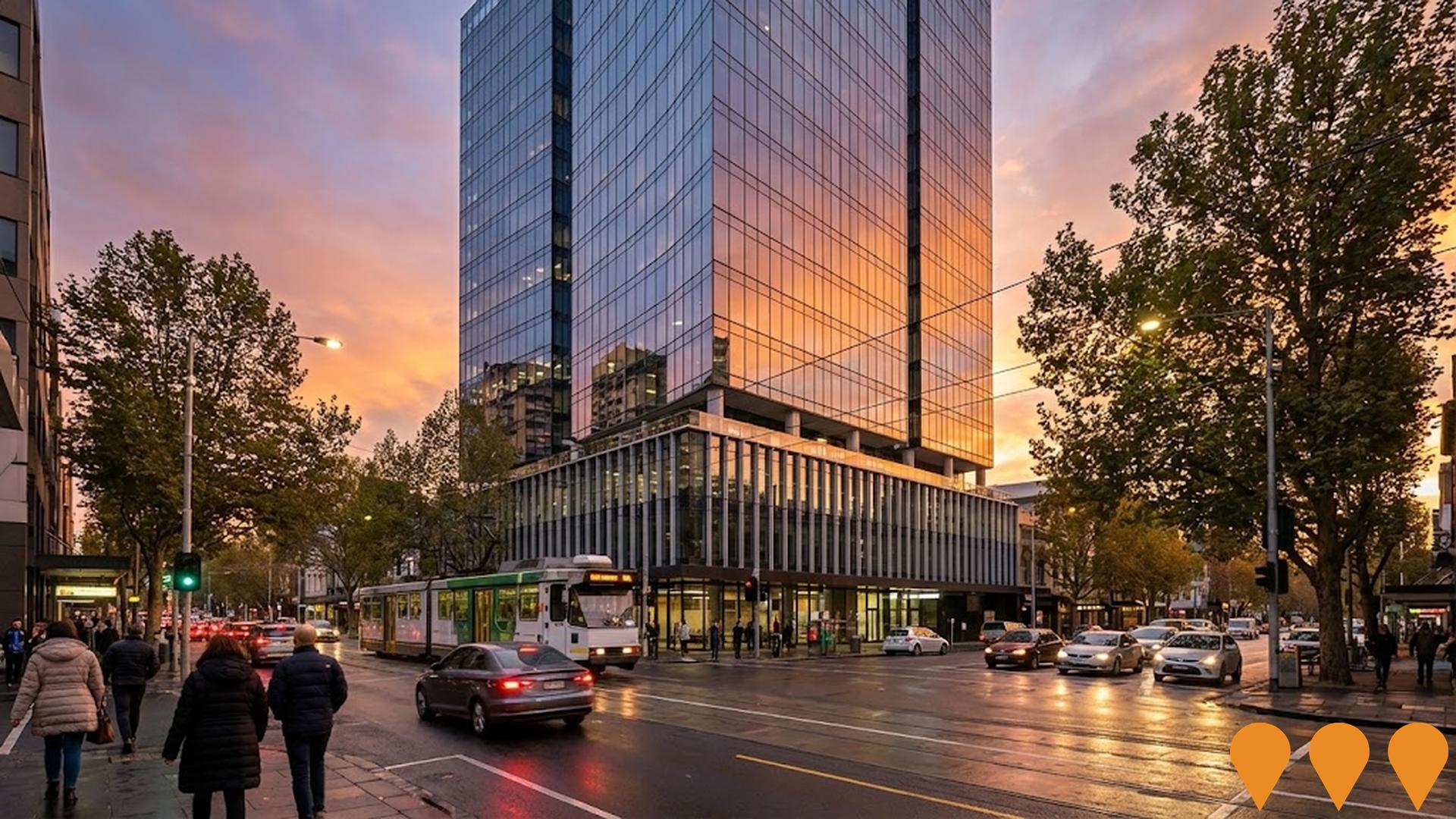
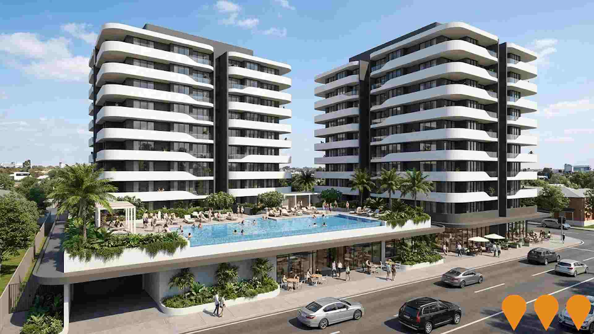
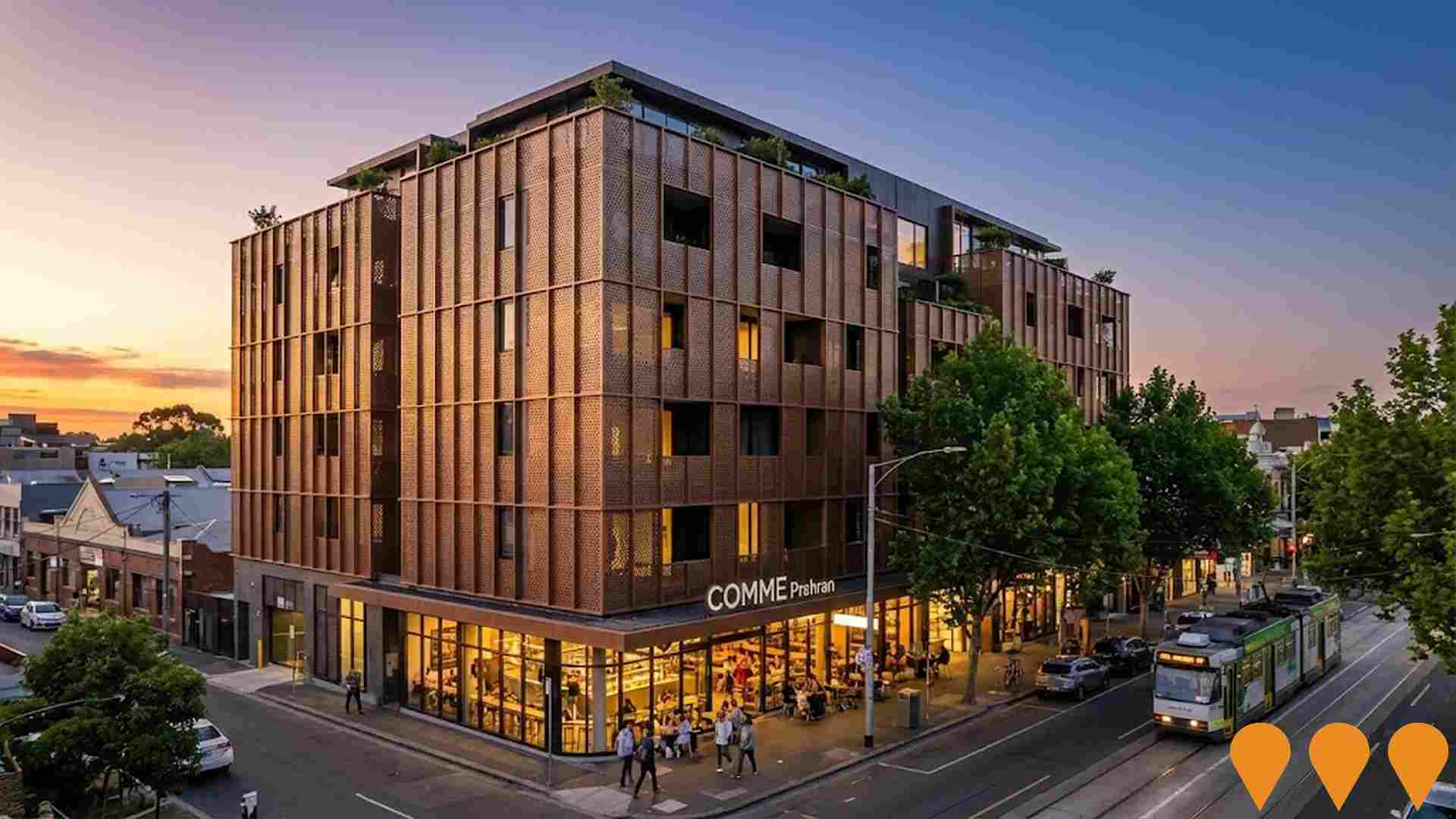
Few elements shape a region's long-term trajectory as decisively as major development initiatives, transport upgrades, and planning schemes. AreaSearch has pinpointed a total of 51 projects anticipated to influence the immediate district. Prominent undertakings encompass Holckner Family Senior Living and Community Precinct - St Kilda Road Stage 2, The Muse, 322-332 St Kilda Road Mixed-Use Development Opportunity, and The Carter Building, with critical developments outlined below.
Professional plan users can use the search below to filter and access additional projects.
INFRASTRUCTURE SEARCH
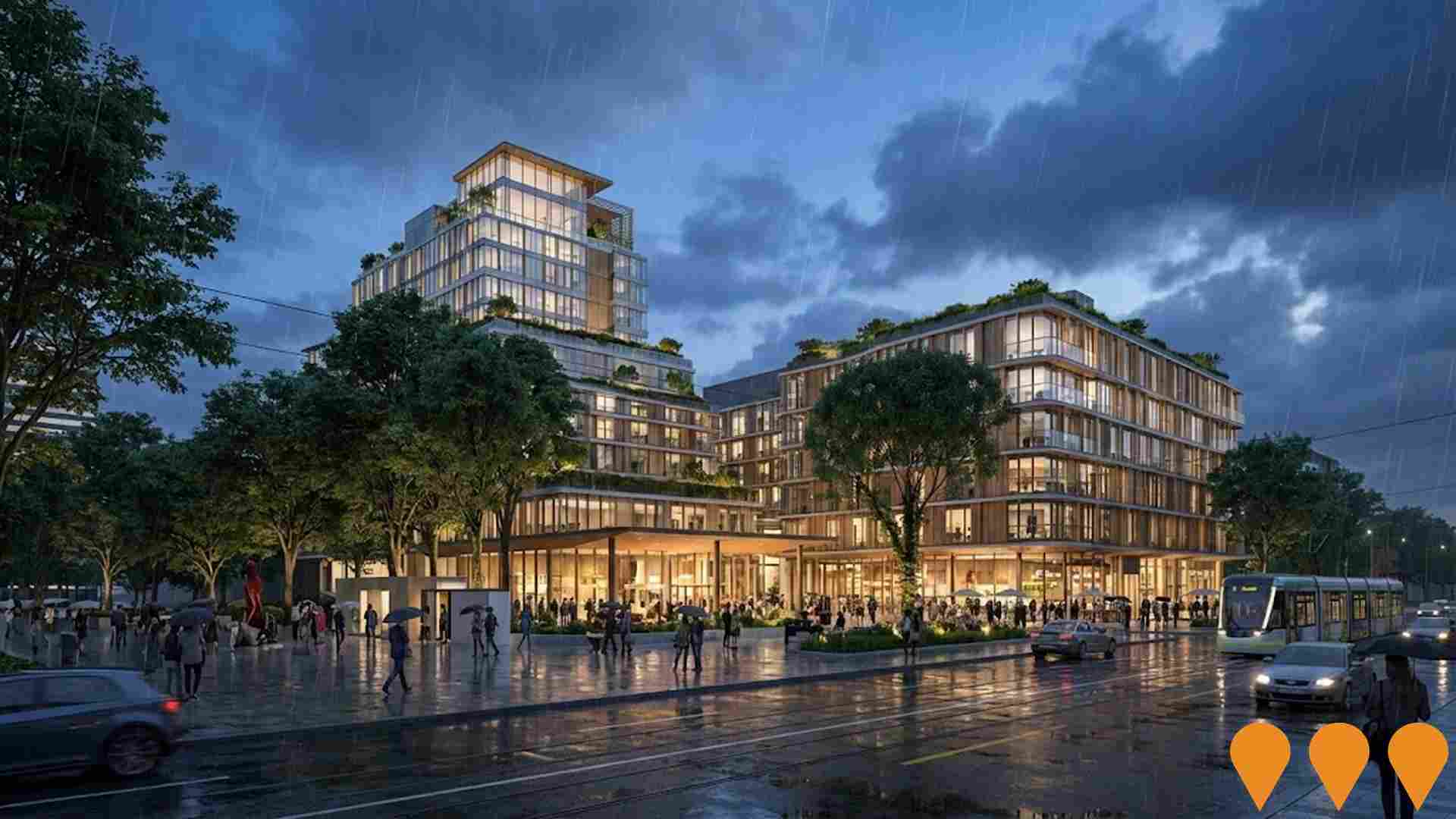
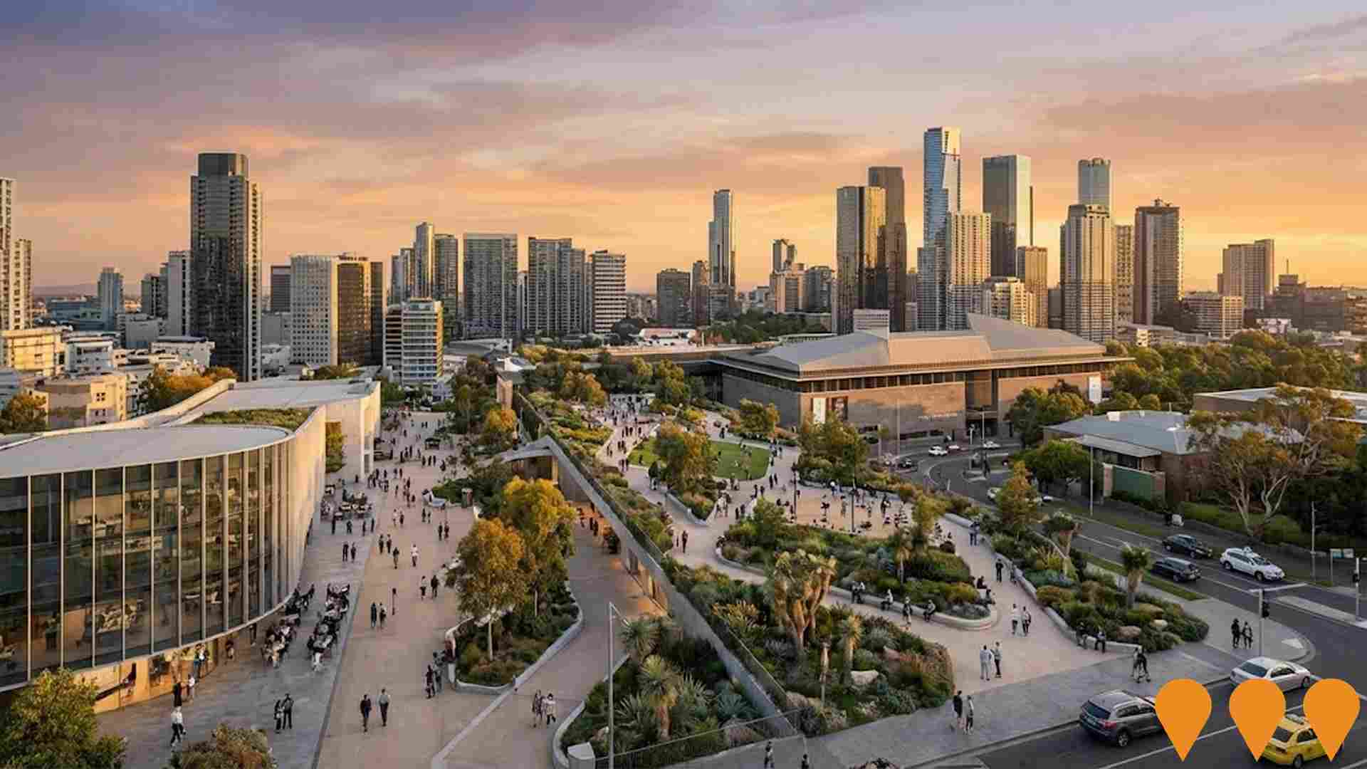
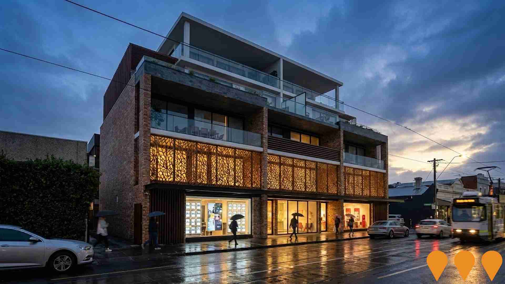
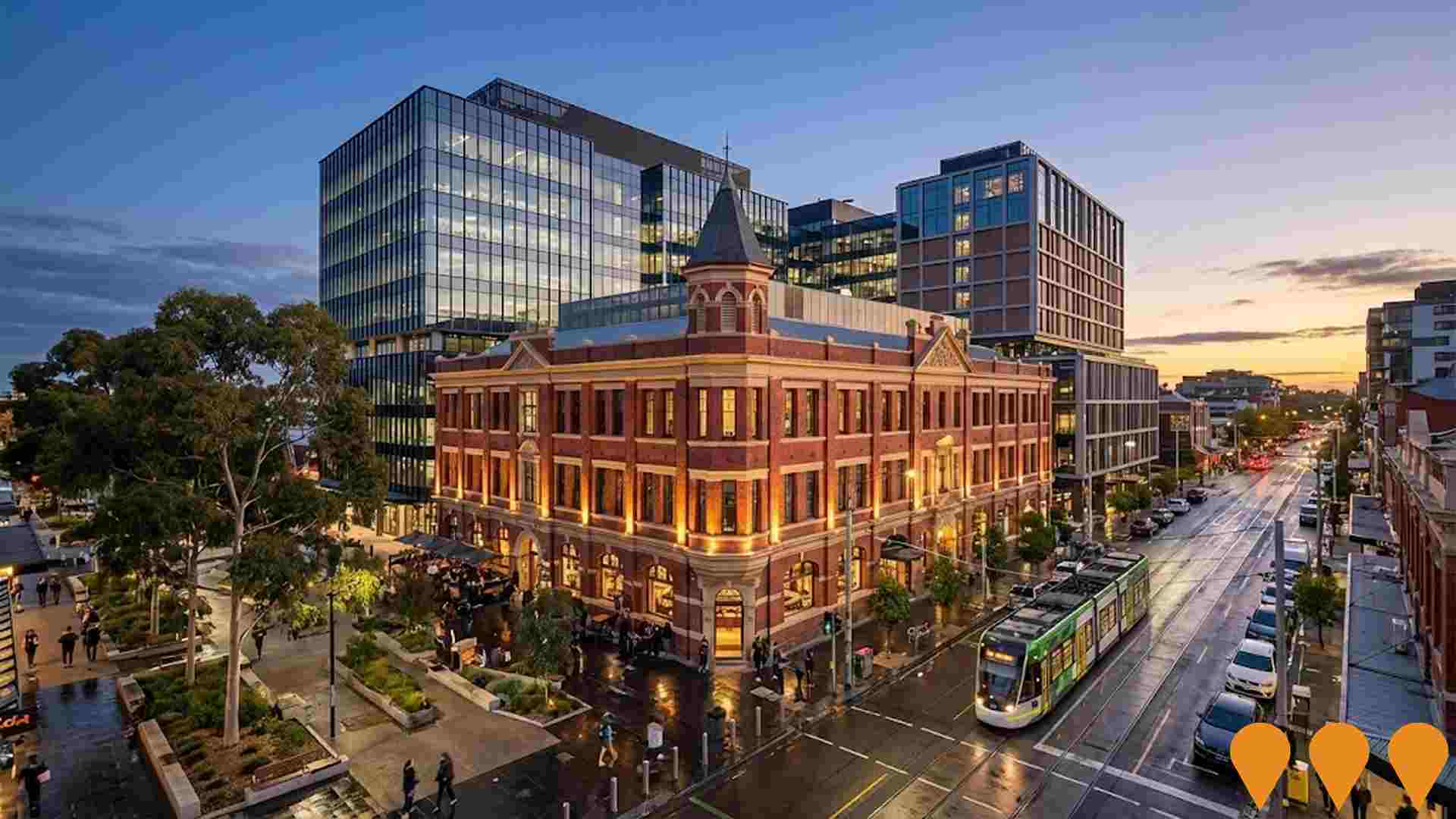
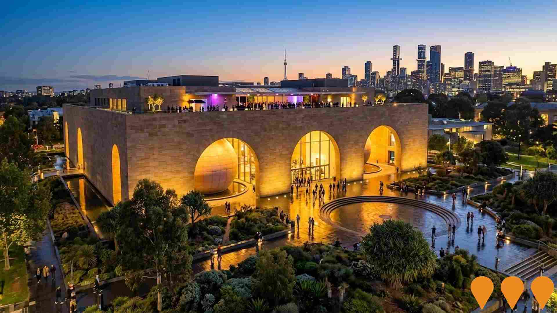
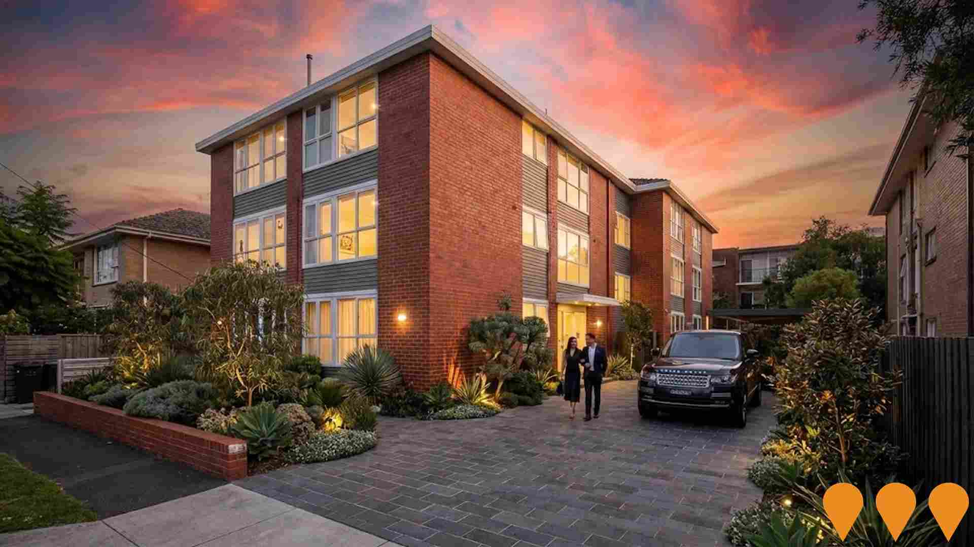
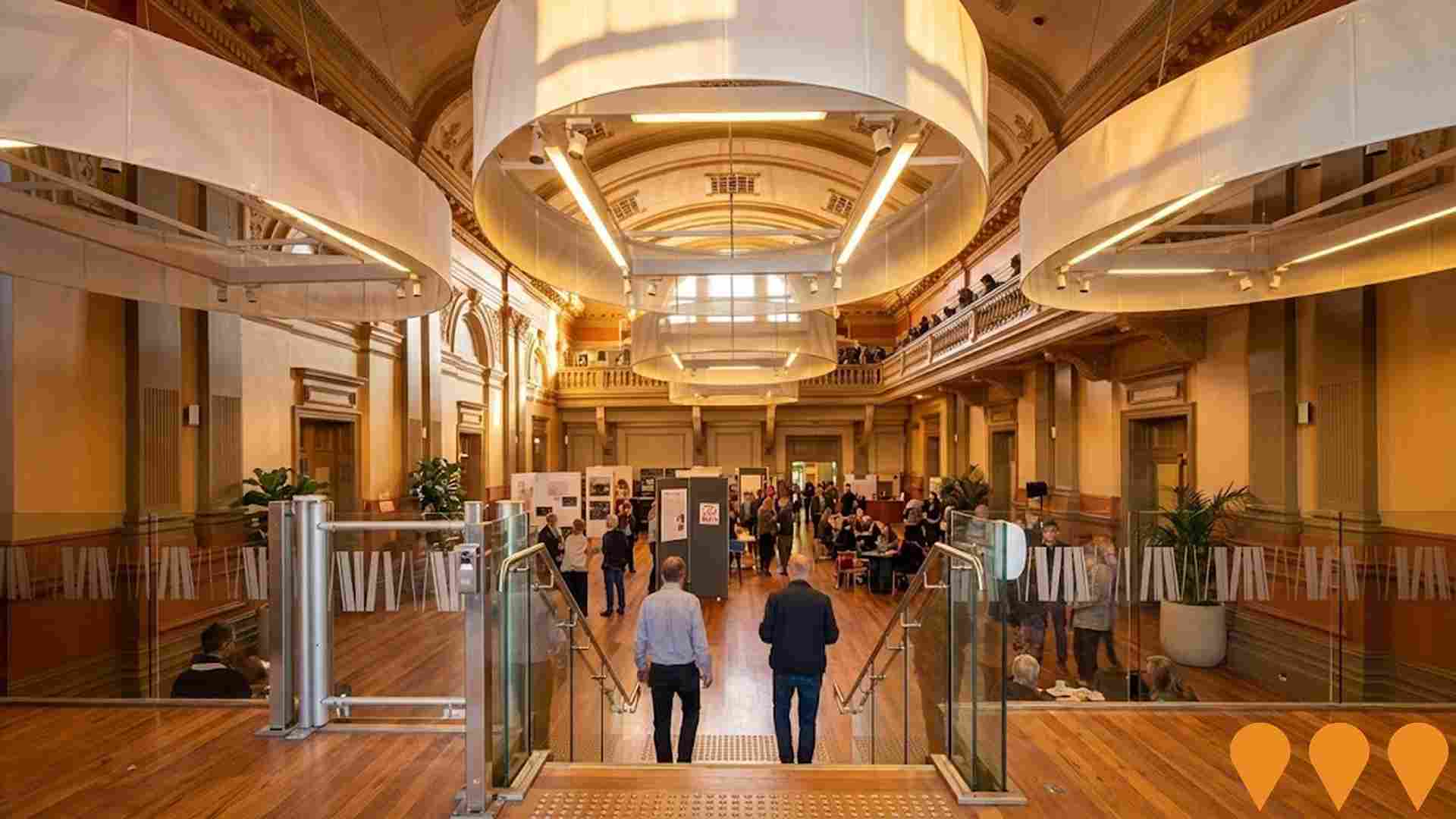
 Denotes AI-based impression for illustrative purposes only, not to be taken as definitive under any circumstances. Please follow links and conduct other investigations from the project's source for actual imagery. Developers and project owners wishing us to use original imagery please Contact Us and we will do so.
Frequently Asked Questions - Infrastructure
The Muse
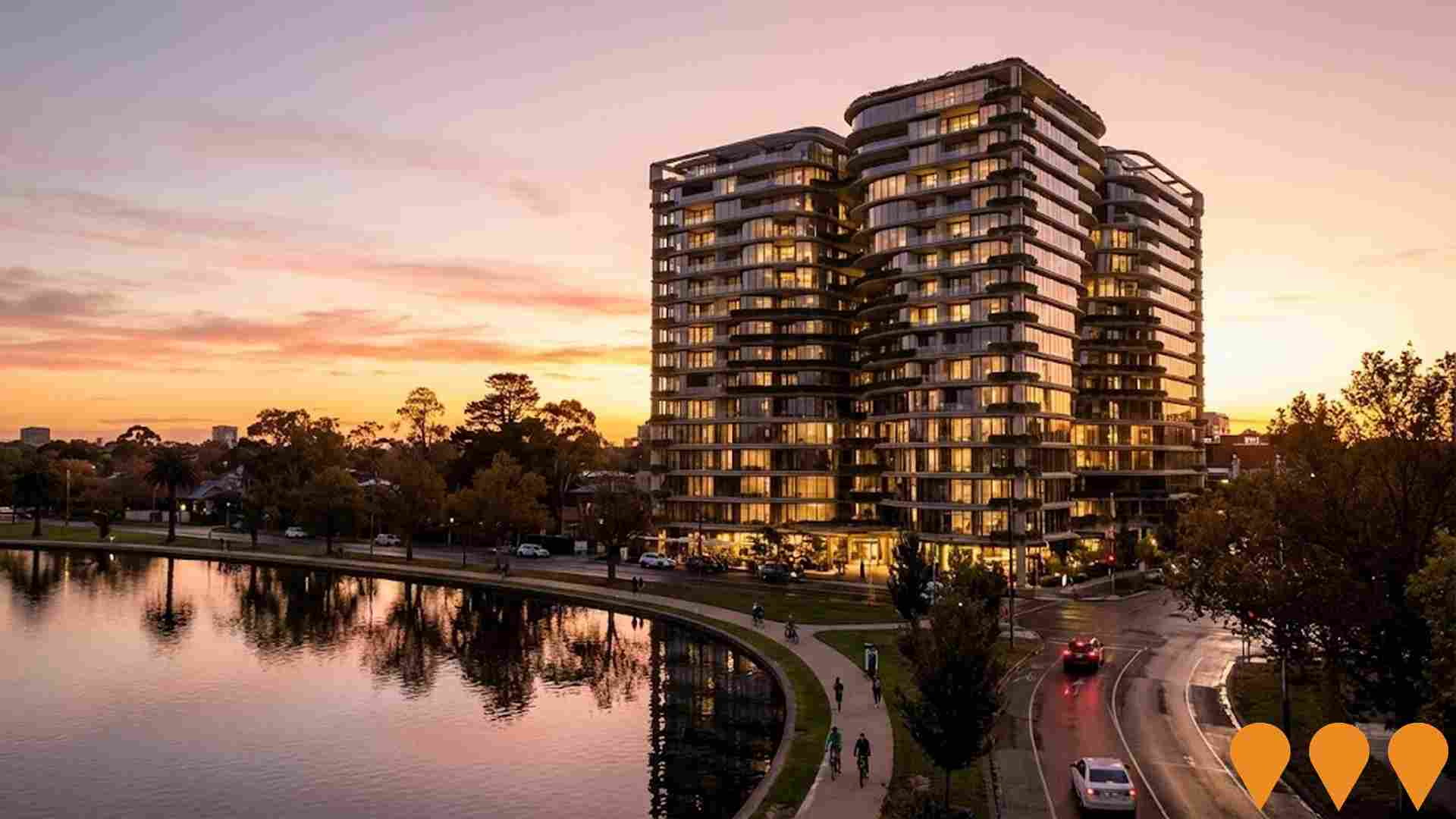
An ultra-exclusive boutique collection of 42 luxury residences at 409-413 St Kilda Road, Melbourne, designed by Bruce Henderson Architects. The 14-storey development features hotel-style facilities including 24-hour concierge, wellness centre with pools, spa, gym, sauna and steam room, advanced security, world-leading home automation and Bang & Olufsen audio-visual systems. Offers panoramic views of the city, Royal Botanic Gardens and Fawkner Park.
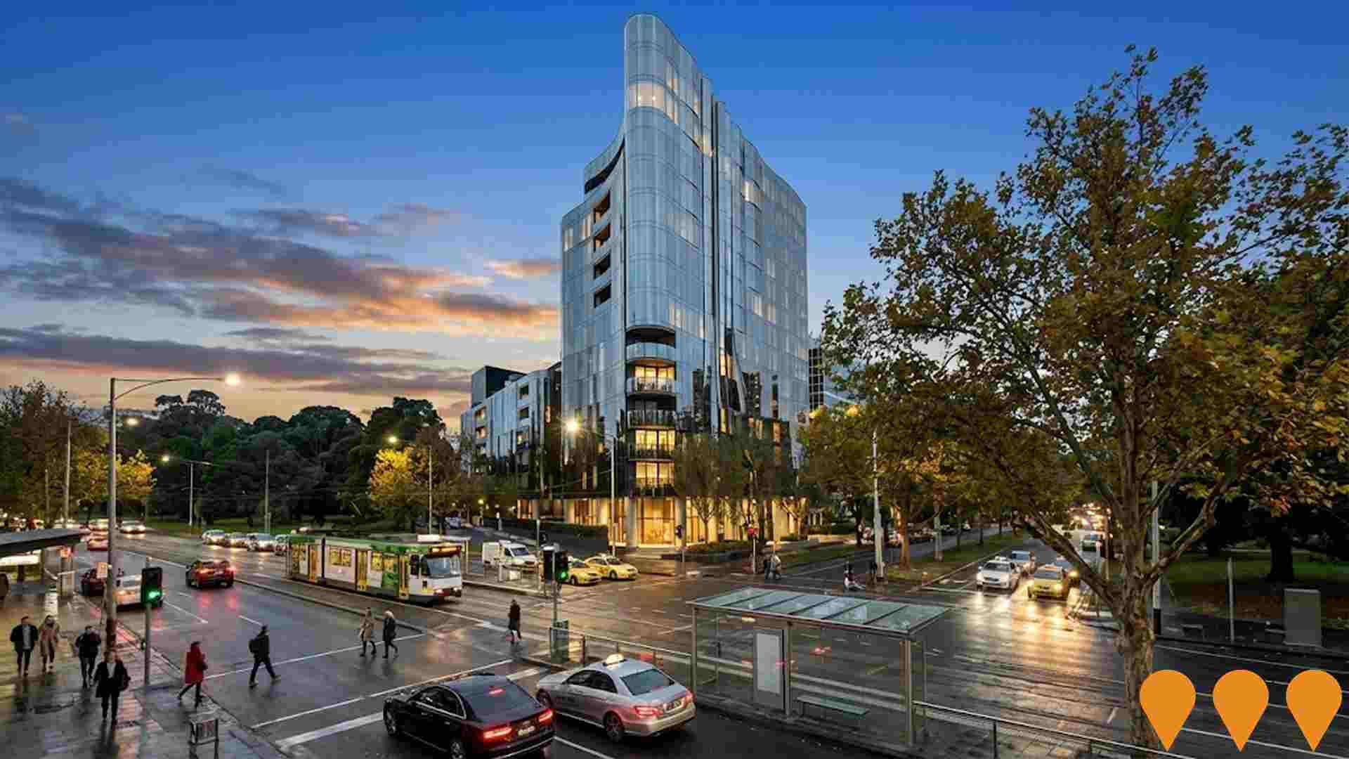
Four Three Seven, 437 St Kilda Road
Cbus Property's Four Three Seven is a luxury residential tower on the corner of St Kilda Road and Slater Street, opposite Fawkner Park. The Bates Smart-designed project comprises 77 two-bedroom, three-bedroom, half-floor and full-floor residences across 17 levels, with three basement levels and resident amenities including a 25-metre heated pool, wellness facilities, gym, residents lounge, private dining, landscaped terrace and ground-floor lobby. Builder Hacer Group has been appointed and construction has commenced, with completion targeted for mid 2028.
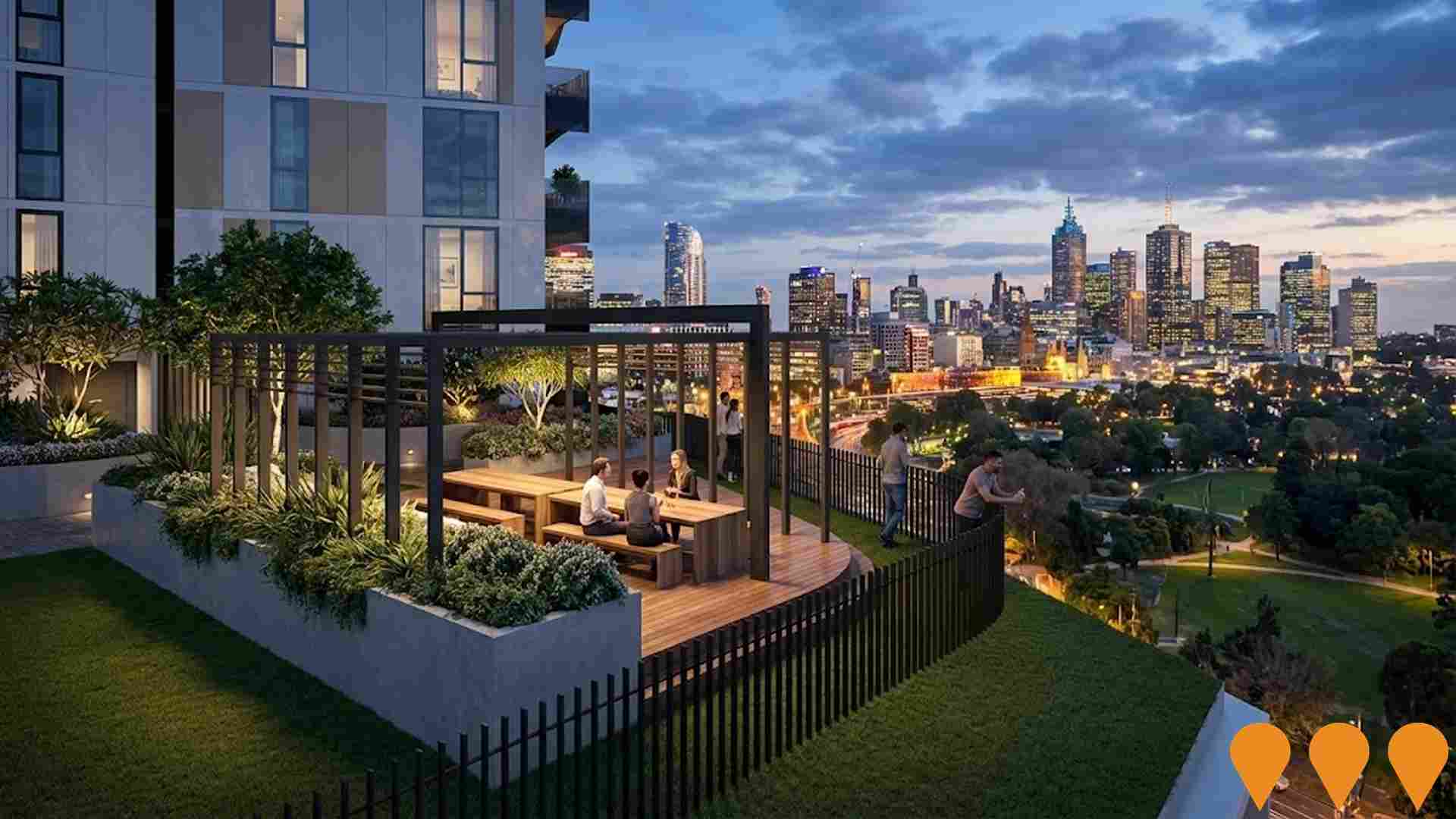
Four Three Seven
Four Three Seven is a landmark luxury residential development by Cbus Property located at 437 St Kilda Road. The project features 77 Bates Smart-designed residences, including two-bedroom, three-bedroom, half-floor, and full-floor apartments across 17 levels. Amenities include a 25-metre indoor pool, gym, sauna, residents lounge, private dining room, and an elevated terrace with views over Fawkner Park and the Melbourne CBD. Construction commenced in 2025 with completion targeted for early 2028.
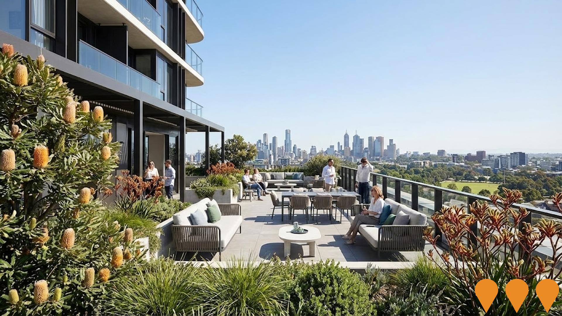
The Carter Building
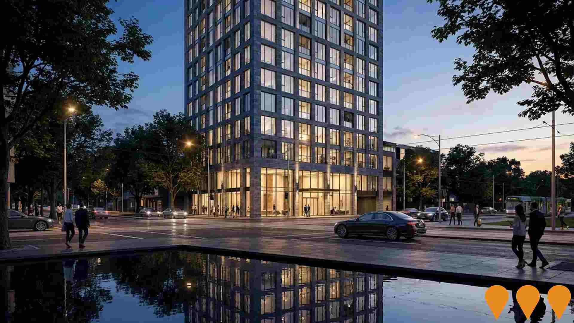
The Carter Building is a $300 million luxury mixed-use development at 448 St Kilda Road, Melbourne. The 17-storey landmark, designed by Kerry Hill Architects (KHA), features a saw-cut bluestone facade inspired by the city's heritage buildings. It comprises 54 premium private residences across the upper floors and a 107-room five-star COMO Hotels and Resorts property on the lower levels - marking COMO's first appearance in Melbourne and second in Australia. Residents and guests enjoy world-class amenities including the COMO Shambhala wellness centre, a 20-metre indoor lap pool, gym, sauna, golf simulator, and concierge services.The ground level features a fine-dining restaurant, cafe, and bar curated by COMO. Construction commenced in August 2025, with the hotel and residences slated to open in early 2028.
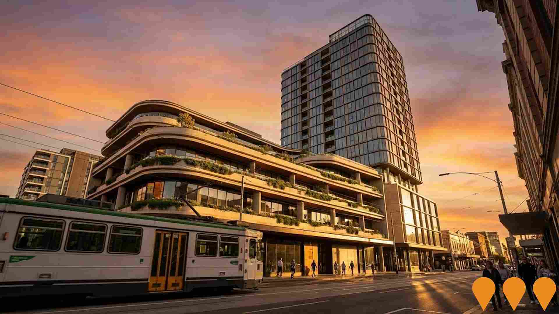
587-593 Church Street Hotel Development
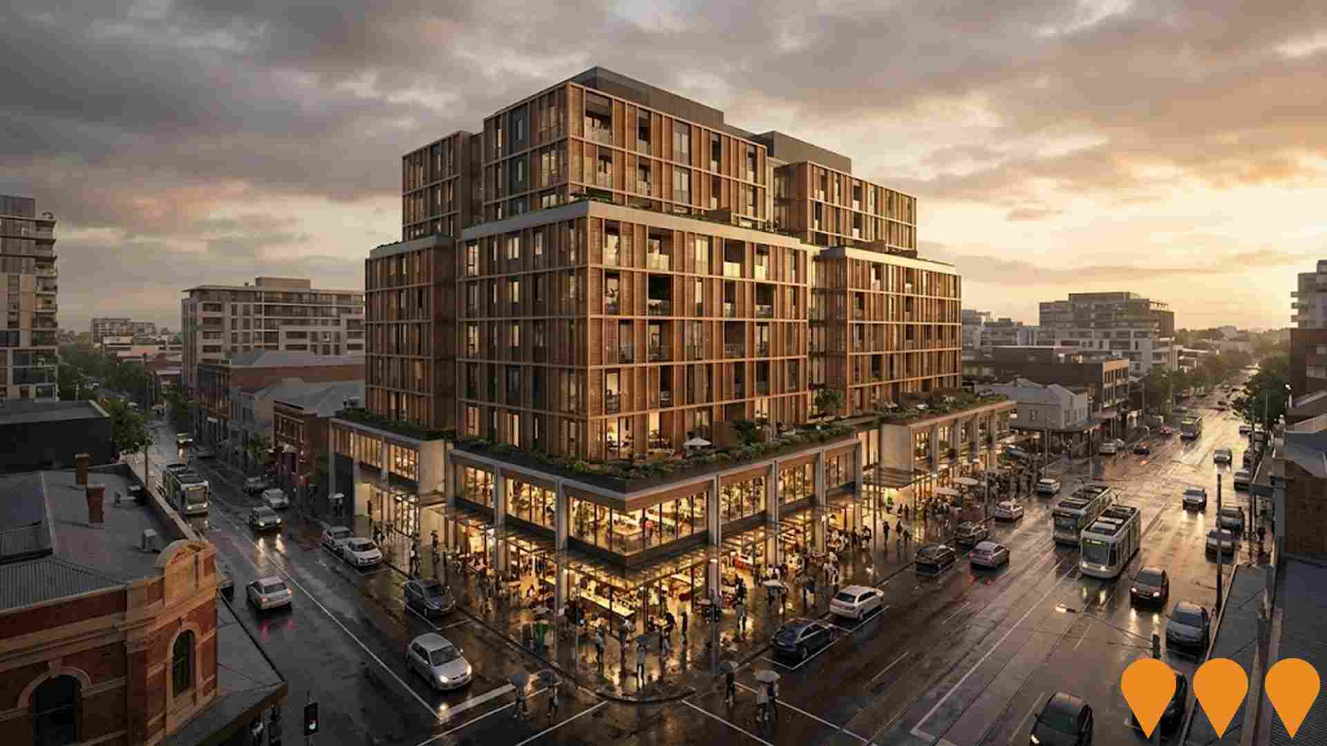
Goldfields Group is developing a 12-storey residential hotel on the former Matt Blatt showroom site in Richmond. Designed by Cox Architecture, the 198-room project features a ground-floor cafe, a gym, and function spaces. A signature element is the public rooftop terrace with an infinity pool and two bars, including a teppanyaki restaurant. Following a VCAT appeal, the design was modified to include a pedestrian accessway between Yorkshire Street and Willow Lane and refined building massing to respect the local urban character.
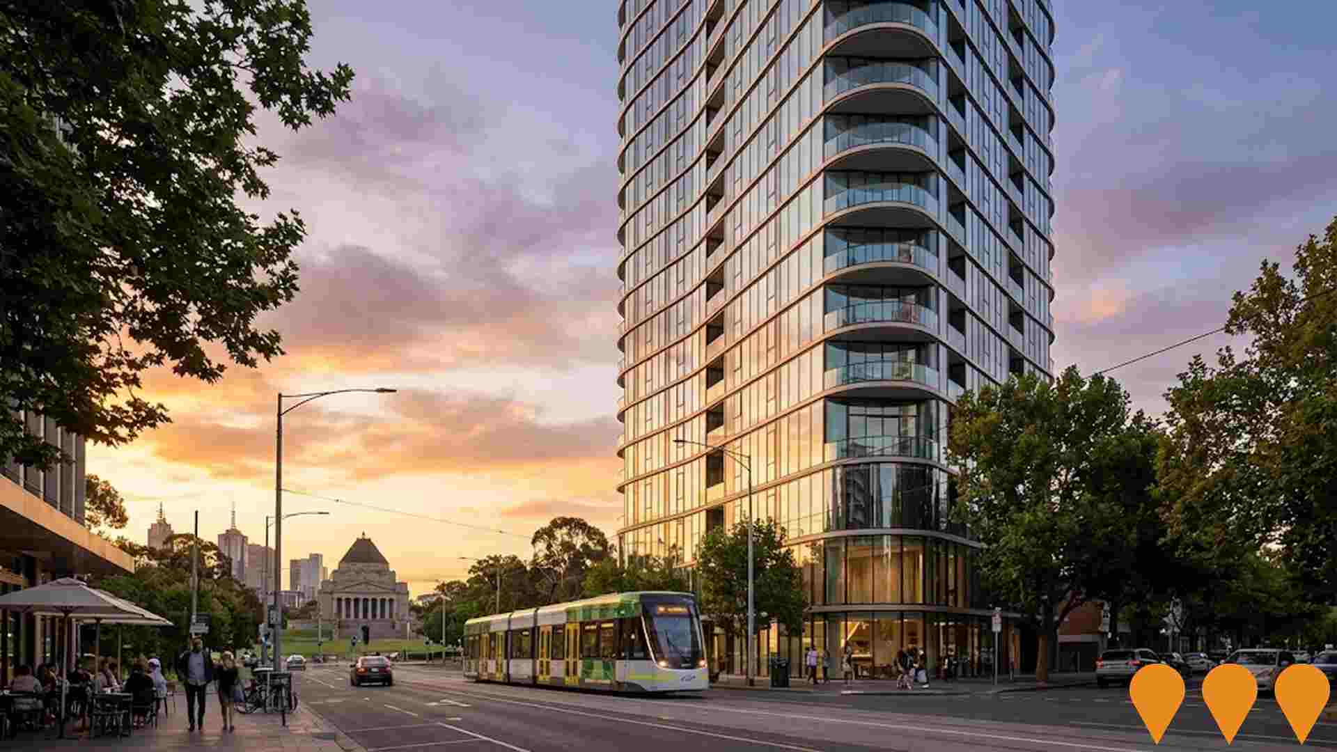
First Light
First Light is an under-construction luxury mixed-use apartment and hotel project at 28 Albert Road, South Melbourne. The scheme includes a boutique collection of 35 private residences, a 97-key Nu by YOO hotel, wellness facilities, pool, gym, concierge services, restaurants, and a pedestrian arcade linking the Domain Precinct near Anzac Station.
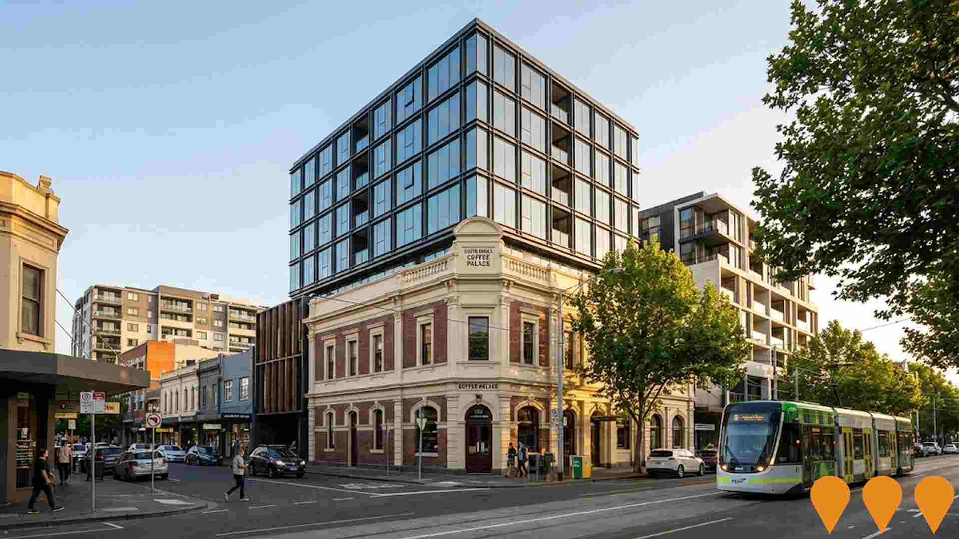
189 Toorak Road Mixed-Use Development
Adaptive reuse and redevelopment of the historic South Yarra Coffee Palace site into a 12-storey mixed-use commercial and retail tower. Designed by Skidmore, Owings & Merrill (SOM) in collaboration with Fender Katsalidis, the project integrates three levels of retail and wellness spaces below contemporary commercial office space while preserving the 1880s Victorian heritage facade. Built is delivering the head contract with practical completion targeted for 2026.
Prahran Market Restoration
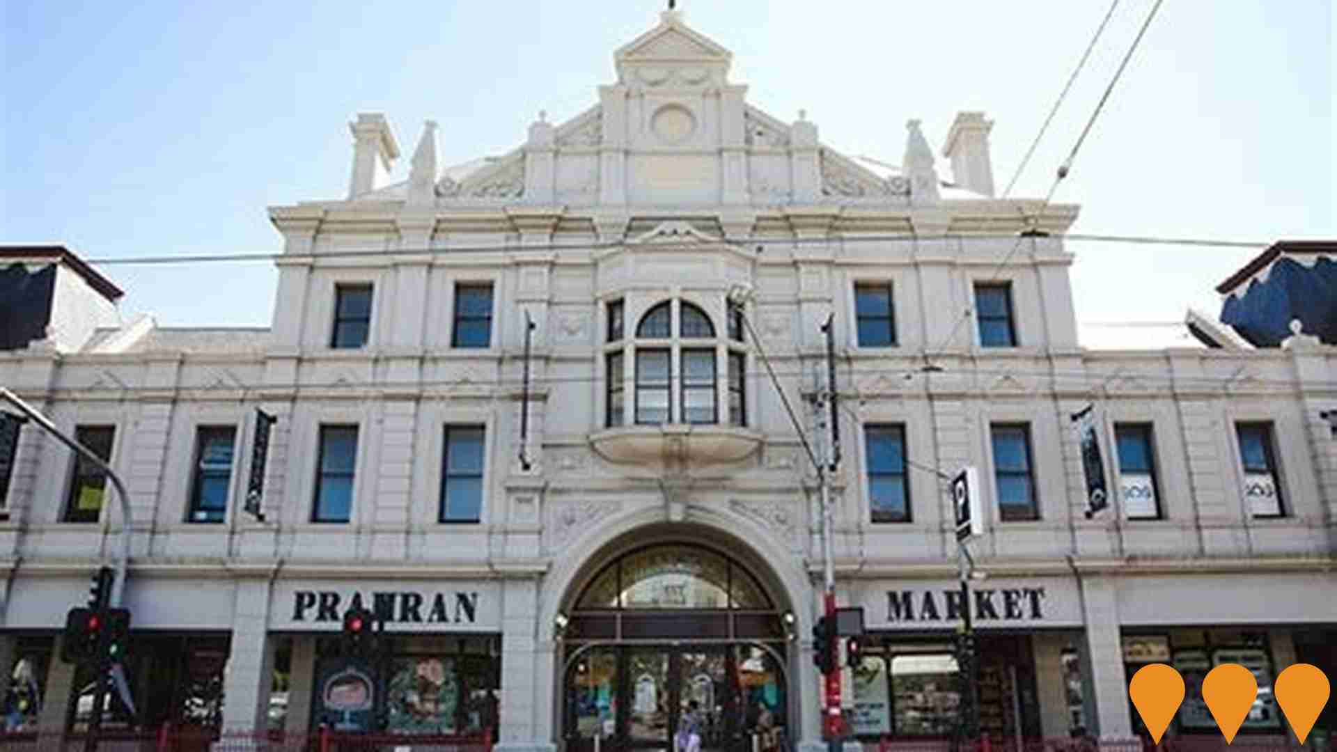
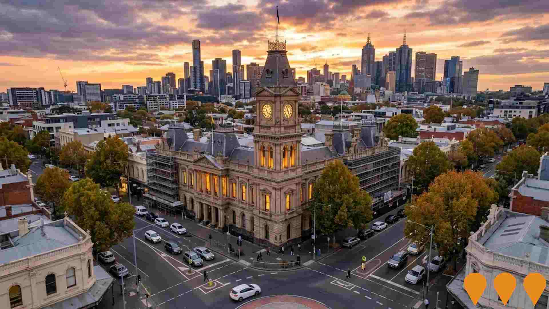
The City of Stonnington is delivering a staged restoration of Prahran Market, a heritage food market owned by Council and operated by Prahran Market Pty Ltd. The program responds to building condition audits and includes roof and facade restoration, structural strengthening, gas meter room upgrades, electrical switchboard works, stormwater and flooring renewal, and disability access improvements. Official project information lists the works as in progress, with disability access works scheduled to June 2026 and future Harvest Hall roof and Stage 4 stormwater/flooring works still to be scheduled.Exemplo Constructions also lists a Stage 3 roof, glazing and facade upgrade for completion in November 2026.


4,651 residents of South Yarra - West are employed, from a labour force of 4,777. Unemployment sits at 2.6%, with participation at 75.8%. Weighted for its industry mix, the area's sectors are forecast to grow about 7.6% nationally over five years. That reflects industry composition only and makes no allowance for local population growth. The working-day population is estimated at 15,079, about 2.2 times the resident population, so the area draws in more workers than it sends out. Unemployment and labour force come from ABS Small Area Labour Markets, updated quarterly; the industry and occupation profile is from the 2021 Census.
Detail
The workforce in South Yarra - West is notably well educated, with the technology sector standing out for its strong representation. The area recorded an unemployment rate of only 2.6% and experienced an estimated employment growth of 3.7% over the previous year. By March 2026, there were 4,651 residents employed, and the local unemployment rate stood at 2.1% below the Greater Melbourne average of 4.8%. Workforce participation also exceeded the regional norm, reaching 75.8% against Greater Melbourne's 70.1%. Census data indicated that a high 52.3% of residents worked from home, although the influence of Covid-19 lockdowns should be taken into account.
Resident employment is primarily anchored by professional & technical, health care & social assistance, and education & training sectors. Local specialization is most pronounced in professional & technical services, where representation reaches 2.1 times the regional norm. Conversely, building and construction engages merely 4.1% of working residents, below the 9.7% recorded across Greater Melbourne. Maintaining 3.1 workers for every resident at the Census, the precinct operates as a major employment center that draws in substantial commuter inflows from surrounding districts. AreaSearch evaluations of SALM and ABS statistics indicate that during the 12 months to March 2026, total employment rose 3.7% against a 3.8% labor supply increase, keeping joblessness steady. By comparison, Greater Melbourne registered 2.1% employment growth, a 2.3% increase in labor participants, and a 0.2 percentage points rise in unemployment. National employment projections published by Jobs and Skills Australia in Mar-26 provide additional context regarding future workforce requirements in South Yarra - West. These five- and ten-year models were applied to the area's occupational makeup to gauge localized trends. While overall nationwide employment is projected to expand 6.6% across five years and 13.7% across ten years, trajectories differ across distinct fields. Weighting these sectoral forecasts against the workforce composition in South Yarra - West suggests local jobs could grow by 7.6% over five years and 15.2% over ten years (note that this illustrative model applies weighted extrapolation without incorporating localized population trajectories).
Frequently Asked Questions - Employment
Median household income in South Yarra - West is $2,259 a week (about $117,000 a year), with median personal income at $1,454 a week. ATO records put median taxable income at $68,433 a year against an average of $107,974. The average runs 58% above the median, a wider spread than most areas and a sign of a concentrated group of high earners. Household income is from the 2021 Census; taxable income is from ATO Taxation Statistics for the latest financial year available, indexed forward using the ABS Wage Price Index.
Detail
According to AreaSearch's evaluation of ATO postcode data for financial year 2023, resident earnings in the South Yarra - West SA2 rank among the highest nationally, featuring a median of $68,433 and an average of $107,974. These metrics substantially exceed Greater Melbourne averages of $57,688 (median) and $75,164 (average). Factoring in 9.62% Wage Price Index growth since financial year 2023, updated estimates suggest figures near $75,016 for the median and $118,361 for the average by March 2026. Individual Census earnings place the area in the 97th percentile across the country ($1,454 weekly).
The $1,500 - 2,999 weekly wage bracket contains the largest segment of residents at 33.2% (2,289 people), closely matching the regional proportion of 32.8%. A strong presence of upper-bracket earners (37.4% earning above $3,000/week) illustrates high earning power throughout the neighborhood. Accommodation costs absorb 14.7% of earnings, while high overall compensation lifts residents into the 81st percentile for disposable income and places the locality in the 10th decile on the SEIFA income index.
Frequently Asked Questions - Income
South Yarra - West had 3,049 occupied dwellings at the 2021 Census, 6% detached houses and 85% apartments. 17% are owned with a mortgage, 55% rented and 28% owned outright. At that Census the median rent was $457 a week and the median mortgage repayment $2,100 a month, a total housing cost higher than 76% of areas nationally. Rent absorbs 20.2% of household income here and mortgage repayments 21.5%. Dwelling stock, tenure and housing costs are 2021 Census measures — the only source that counts dwellings at this boundary size.
Detail
Census assessments show that the residential fabric of South Yarra - West is made up of 5.7% detached houses and 94.4% other dwellings (incorporating semi-detached residences, flats, and alternative dwelling types), differing sharply from Melbourne metro where detached houses represent 67.9% and other dwellings 32.1%. Outright ownership stands at 28.3%, marginally trailing the wider Melbourne metro level, while the balance of homes are subject to a mortgage (17.0%) or leased (54.7%). Typical monthly home loan payments were $2,100, surpassing the Melbourne metro average of $2,000, while typical weekly rent stood at $457 against $390 across Melbourne metro.
Nationally, mortgage costs in South Yarra - West exceed the Australian benchmark of $1,863, and rents sit well above the nationwide average of $375.
Frequently Asked Questions - Housing
South Yarra - West counted 3,049 households at the 2021 Census, an estimated 3,274 today, averaging 1.8 people each. 12% are couples with children, fewer than in 96% of areas nationally, against 32% couples without children. 45% of households are people living alone, and families average 0.9 children. Household and family composition is measured only by the Census, so these are 2021 figures.
Detail
Family units account for 49.1% of local households, consisting of couples with children at 11.9%, childless couples at 31.5%, and single parent households at 4.5%. Non-family living arrangements make up the remaining 50.9%, led by solo occupants at 44.8% and shared group households at 6.1%. The average household size stands at 1.8 people, noticeably below the Greater Melbourne benchmark of 2.6.
Frequently Asked Questions - Households
66.0% of adults in South Yarra - West hold a university qualification, including 39.6% with a bachelor degree and 21.6% with postgraduate qualifications, higher than 94% of areas nationally. A further 6.7% hold a vocational qualification. 7 schools serve the area, with 5,857 enrolment places and an average ICSEA of 1,145 against a national benchmark of 1,000. Qualifications come from the 2021 Census; school enrolments, ICSEA and results come from ACARA's current release.
Detail
South Yarra - West exhibits outstanding academic profiles, with 66.0% of individuals aged 15+ holding tertiary degrees compared with 30.4% across Australia and 33.4% in VIC. This educational background provides residents with significant advantages in knowledge-focused industries. Undergraduate degrees account for 39.6%, postgraduate credentials represent 21.6%, and graduate diplomas comprise 4.8%. Vocational education forms 16.1% of qualifications among residents aged 15+, consisting of advanced diplomas (9.4%) and certificates (6.7%). Engagement with learning institutions is exceptionally high, as 26.1% of the population is actively undertaking formal education. This proportion comprises 9.4% enrolled in tertiary institutions, 5.8% attending secondary schools, and 4.6% in primary school programs.
Frequently Asked Questions - Education
Schools Detail
Public transport in South Yarra - West reaches 34 stops on 13 routes, timetabled for about 8,600 services a week. The typical home sits about 120 m from its nearest stop. Trams carry the largest share of public transport commuters. Households keep an average of 0.5 vehicles. Stop and service counts are built from operators' published GTFS timetables and refresh with each timetable release; vehicle ownership is from the 2021 Census.
Detail
Public transit infrastructure in South Yarra - West includes 34 active transport stops comprising both lightrail and buses. A network of 13 separate routes connects these facilities, delivering 8,550 weekly passenger trips. Transit access is exceptional, with inhabitants generally situated 124 meters from their closest station or stop. As a largely residential enclave, outward commuting is standard, with motor vehicles serving as the principal transport method for 48%, followed by walking at 22% and rail transport at 7%. Vehicle ownership sits at an average of 0.5 per dwelling, below regional norms.
At the 2021 Census, a notable 52.3% of workers worked from home, potentially reflecting prevailing COVID-19 circumstances. Transit services maintain an average volume of 1,221 trips per day across all available routes, translating to roughly 251 weekly trips per individual stop.
Frequently Asked Questions - Transport
Transport Stops Detail
72.0% of residents in South Yarra - West report no long-term health condition. 4.0% need daily assistance with core activities, and 74.0% hold private health cover. The standardised death rate runs at 6.9 per 1,000 residents. Health conditions, assistance needs and insurance are 2021 Census measures; the death rate comes from current ABS releases.
Detail
Health indicators across South Yarra - West remain generally favourable, with AreaSearch evaluations of illness incidence and mortality aligning closely with national standards, alongside subdued rates of common ailments in both younger cohorts and senior age brackets. Private health insurance membership is remarkably broad, covering roughly 74% of all inhabitants (5,103 people), compared with 56.7% in Greater Melbourne and 55.7% across Australia. The two primary medical concerns reported locally were mental health challenges and asthma, diagnosed in 8.0 and 7.4% of inhabitants respectively, while 72.0% indicated having no chronic medical conditions, closely matching the 72.6% benchmark for Greater Melbourne.
The working-age population maintains robust overall health with minimal chronic disease burden. Those aged 65 and over constitute 22.4% of the population (1,544 people), well above the 15.1% seen in Greater Melbourne. Senior residents record particularly impressive health outcomes, achieving national standings that exceed those of the overall populace.
Frequently Asked Questions - Health
35.7% of South Yarra - West residents were born overseas and 21.2% speak a language other than English at home. The largest reported ancestries are English (24.9%) and Australian (17.2%). Ancestry, language and country of birth are counted only by the Census, so these are 2021 figures.
Detail
Cultural diversity in South Yarra - West is substantially higher than in most Australian localities, with 21.2% of locals speaking a non-English language in their households and 35.7% having been born outside Australia. Christianity represents the primary faith, practiced by 37.8% of residents. The most prominent deviation from broader patterns is in Judaism, which encompasses 3.2% of the local community compared to 1.0% across Greater Melbourne. Regarding parentage, the leading three ancestries in South Yarra - West are English at 24.9%, Australian at 17.2%, and Other at 11.1%. Several other cultural backgrounds also show heightened concentrations relative to regional norms: Polish represents 1.5% locally (against 0.8% regionally), French accounts for 1.1% (against 0.5%), and Scottish stands at 9.4% (against 5.6%).
Frequently Asked Questions - Diversity
The median resident of South Yarra - West is 38. That is 1 year younger than at the 2021 Census. 34.0% of residents are aged 15 to 34. Age cohorts are not raw Census counts: the Census split is re-based to the latest ABS population estimates and state projections.
Detail
The demographic profile of South Yarra - West displays an older age distribution. Adults aged 25 - 44 account for 40.6% of inhabitants as at August 2026, compared to 32.1% throughout Greater Melbourne, while young individuals aged 0 - 24 represent 18.8% against a regional benchmark of 30.5%. The median age is calculated at 38 as at August 2026, slightly lower than the 39 recorded at the 2021 Census and 1 year above Greater Melbourne's median of 37 at that Census. Since that period, the 45 - 64 demographic has decreased from 20.6% to an estimated 18.3%.
Residents in the 65+ category are forecast to record the largest numerical increase through to 2041, climbing by 610 (40%) to reach 2,155. In percentage terms, the 45 - 64 cohort will expand most rapidly, rising 42% to 1,786 residents.
Frequently Asked Questions - Age
Data & MethodBoundaries, Sources & Method for South Yarra - West
9 of 14 data sections on this page were updated within the last 12 months — the newest current to Oct 2026.
Everything is aggregated to the SA2 boundary shown above, on a 2021 Census baseline. Only 3 sections — housing, households and cultural diversity — still wait on the 2026 Census.
The ledger — source, cycle and currency by section
| Section | Source & update cycle | Currency |
|---|---|---|
| Updated within the last 12 months 9 sections | ||
| Population | ABS, GNAF, Geoscience Australia Annual (ABS ERP) | Aug 2026 2 months ago headline measures · 2021 Census baseline |
| Re-based to the ABS Estimated Resident Population (June 2025 release) and updated with new dwellings from GNAF address data. Current to Aug 2026, with the 2021 Census supplying the small-area baseline. | ||
| Age profile | ABS, Geoscience Australia, State governments Annual | Aug 2026 2 months ago headline measures · 2021 Census baseline |
| Age cohorts are re-based to the latest ABS population estimates and state projections, current to Aug 2026. Each cohort is held as a Census baseline and a current estimate. | ||
| Development & approvals | ABS, GNAF Monthly (ABS approvals) | Aug 2026 2 months ago headline measures · Jul 2026 baseline |
| Property sales & rents | Valuer General, Rental Board, ABS Weekly sales, quarterly rents | Oct 2026 this month headline measures · Sep 2026 baseline |
| Sales from the state Valuer General register, refreshed weekly, and rents from quarterly rental bond lodgements. Both are read live each time this page loads, current to Oct 2026. | ||
| Infrastructure projects | Infrastructure Australia, State agencies, Local governments Daily | Aug 2026 2 months ago all 7 projects tracked here |
| Project pipeline maintained continuously from Infrastructure Australia, state agencies, local government and public announcements. Records are added and revised daily; this area was last updated Aug 2026. | ||
| Employment | ABS, DEWR, JSA Quarterly (ABS SALM) | Mar 2026 7 months ago headline measures · 2021 Census baseline |
| Unemployment and labour force from ABS Small Area Labour Markets, current to Mar 2026. The growth outlook applies Department of Employment (now Jobs and Skills Australia) forecasts for all 19 industry divisions to the local industry mix, so it measures sector composition rather than local expansion and makes no allowance for population growth. Job demand comes from the same agency via its Internet Vacancy Index; industry and occupation structure from the 2021 Census. | ||
| Education | ABS, ACARA Annual (ACARA) | Sep 2026 last month headline measures · 2021 Census baseline |
| Transport | ABS, State Transport Departments Each timetable release | Jul 2026 3 months ago headline measures · 2021 Census baseline |
| Services & amenities | Provider directories, ACECQA Continuous | Sep 2026 last month all 14 measures |
| Annual and financial-year sources 2 sections | ||
| Income | ABS, ATO Annual (ATO) | FY 2023 3 years ago headline measures · 2021 Census baseline |
| ATO taxable income statistics for FY 2023, indexed forward using the Wage Price Index. Census household income provides the distribution detail. | ||
| Health | ABS, ATO Annual | 2024 2 years ago headline measures · 2021 Census baseline |
| Census-measured — next update: 2026 Census 3 sections No more current small-area source exists for these, so they are labelled as Census-measured rather than implied to be current. | ||
| Housing | ABS 5-yearly (Census) | 2021 Census next update 2026 all 30 measures |
| Households | ABS 5-yearly (Census) | 2021 Census next update 2026 all 18 measures |
| Cultural diversity | ABS, Geoscience Australia 5-yearly (Census) | 2021 Census next update 2026 all 44 measures |
"Currency" is the most recent release feeding that section. Where the Census supplies the structural baseline underneath a current headline figure, the row says so.
How the numbers are built
Population
The Census provides the small-area baseline, aggregated from mesh blocks to this boundary. It is then re-based to the ABS Estimated Resident Population (June 2025 release), and new dwellings built since Census night are counted from address data — 27 validated new addresses here. The headline figure is therefore a current estimate for Aug 2026, not a 2021 count (6,423 at the 2021 Census → 6,896 now). Annual growth rates are compound (CAGR), not simple averages.
Age profile
Cohort shares are not raw Census counts. Every cohort is held as a pair — the Census baseline and a current estimate — and the split is re-based using ERP and state population projections, current to Aug 2026. Median age is the Census median plus modelled change since. Charts that show both are labelled "2021 Census vs Current Estimate".
Property sales
Sourced from the state valuation authority's sales register — current, not Census, and refreshed weekly. Medians are calculated from settled transactions in the period shown; periods with very low transaction counts are flagged or suppressed, because a handful of sales can move a median substantially.
Rents
Derived from state rental bond lodgement data, by dwelling type and bedroom count. Bonds are lodged at the start of a new tenancy, so this reflects new lettings, not the whole rented stock.
Development & infrastructure
Building approvals come from current ABS releases; development applications are collected from council and state planning portals; the infrastructure pipeline is compiled from Infrastructure Australia and local government sources. Applications are matched to this boundary by address or coordinates, so very recent lodgements may not yet appear.
Employment & income
Industry and occupation structure comes from the Census, but the headline labour-market indicators do not. Unemployment and labour force are derived from ABS Small Area Labour Markets (quarterly). The employment outlook applies Department of Employment forecasts for all 19 industry divisions to this area's own industry mix (the agency is now Jobs and Skills Australia), as does the Internet Vacancy Index used for job demand. Because it is weighted on industry composition alone, that outlook carries no allowance for local population growth — in fast-growing areas the real rise in local jobs will typically be higher. Income combines Census household income with ATO taxable-income statistics for FY 2023, indexed forward using the Wage Price Index.
Education, transport & amenities
School enrolments, ICSEA and performance come from ACARA's current release, not the Census. Public transport stops and service frequency are derived from GTFS timetable feeds published by state transport departments. Services and amenities are proximity and count scores built from provider directories, refreshed on their own cycle. The Census contributes only the travel-to-work and qualification measures.
Rankings and benchmarks. Where we rank this area, the comparison set is every area of the same boundary type — suburbs against suburbs, SA2s against SA2s. Benchmarks compare this area against its greater capital city region and the national figure for the same measure and period.
Limits worth knowing. Small areas carry larger error margins, and the ABS introduces small random adjustments to Census counts to protect confidentiality — so totals may not sum exactly. Estimates re-based from regional data describe the area's expected trajectory, not a direct count of it. Figures are indicative for research and are not financial, planning or valuation advice.
Cross-check us. The Census baseline for this boundary is at ABS 2021 Census QuickStats (206041125). QuickStats reports 2021 only — the figures on this page are more current wherever the ledger shows a later date.