Chart Color Schemes
This analysis uses Suburbs and Localities (SAL) boundaries, which can materially differ from Statistical Areas (SA2) even when sharing the same name.
SAL boundaries are defined by Australia Post and the Australian Bureau of Statistics to represent commonly-known suburb names used in postal addresses.
Statistical Areas (SA2) are designed for census data collection and may combine multiple suburbs or use different geographic boundaries. For comprehensive analysis, consider reviewing both boundary types if available.
est. as @ -- *
2021 Census | -- people





Sales Activity


Curious about local property values? Filter the chart to assess the volume and appreciation (including resales) trends and regional comparisons, or scroll to the map below view this information at an individual property level.
Find a Recent Sale

Sales Detail
Population
Wurrumiyanga is positioned among the lower quartile of areas assessed nationally for population growth based on AreaSearch's assessment of recent, and medium term trends
Wurrumiyanga's population is estimated at around 1,817 as of Feb 2026. This reflects an increase of 396 people since the 2021 Census, which reported a population of 1,421 people. The change is inferred from AreaSearch's estimation of the resident population at 1,811 following examination of ABS's latest ERP data release (June 2024) and an additional 21 validated new addresses since the Census date. This level of population equates to a density ratio of 180 persons per square kilometer in Wurrumiyanga. The suburb's growth rate of 27.9% since the 2021 census exceeded both national (9.9%) and state averages, making it a growth leader in the region. Overseas migration contributed approximately 53.0% of overall population gains during recent periods.
AreaSearch is adopting ABS/Geoscience Australia projections for each SA2 area as released in 2024 with 2022 as the base year. For areas not covered by this data, AreaSearch applies growth rates by age cohort to each area, as provided by the ABS in its latest Greater Capital Region projections (released in 2023, based on 2022 data). Considering projected demographic shifts, Wurrumiyanga is expected to increase by 310 persons to 2041, reflecting an 8.6% total gain over the 17 years.
Frequently Asked Questions - Population
Development
The level of residential development activity in Wurrumiyanga is very low in comparison to the average area assessed nationally by AreaSearch
Wurrumiyanga had minimal residential development activity with 3 dwelling approvals annually between 2016 and 2020 (a total of 19 approvals). This low level reflects its rural nature, where development is driven by specific local housing needs rather than broad market demand. Yearly growth figures and relativities can vary considerably due to the low approval numbers.
Compared to Rest of NT and national patterns, Wurrumiyanga has much lower development activity. By 2041, AreaSearch quarterly estimates project a population increase of 156 residents in Wurrumiyanga.
Construction pace is maintaining reasonable growth, but buyers may face growing competition as the population increases.
Frequently Asked Questions - Development
Infrastructure
Wurrumiyanga has limited levels of nearby infrastructure activity, ranking in the 8thth percentile nationally
No infrastructure changes are anticipated in this area as AreaSearch has identified zero projects that could impact it. Key initiatives include the Tiwi H2 Hydrogen Project, Northern Territory Freight Rail And Logistics Capacity Improvements, Network Optimisation Program - Rail, and Coastal Hazards Adaptation Strategy.
Professional plan users can use the search below to filter and access additional projects.
INFRASTRUCTURE SEARCH
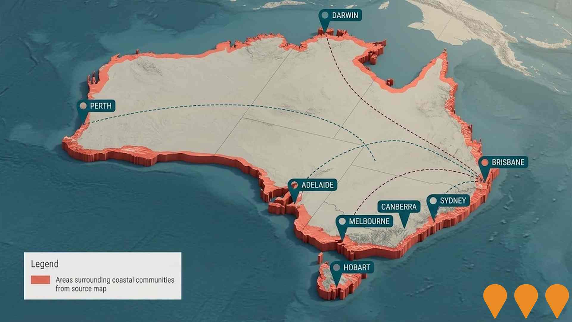
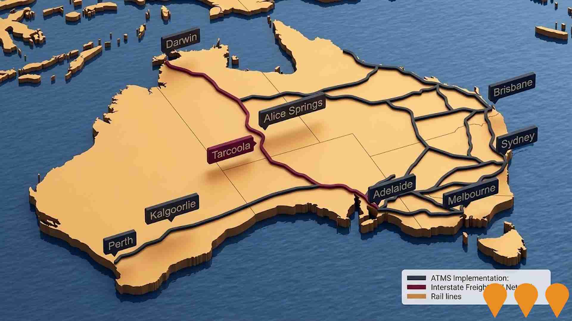
 Denotes AI-based impression for illustrative purposes only, not to be taken as definitive under any circumstances. Please follow links and conduct other investigations from the project's source for actual imagery. Developers and project owners wishing us to use original imagery please Contact Us and we will do so.
Frequently Asked Questions - Infrastructure
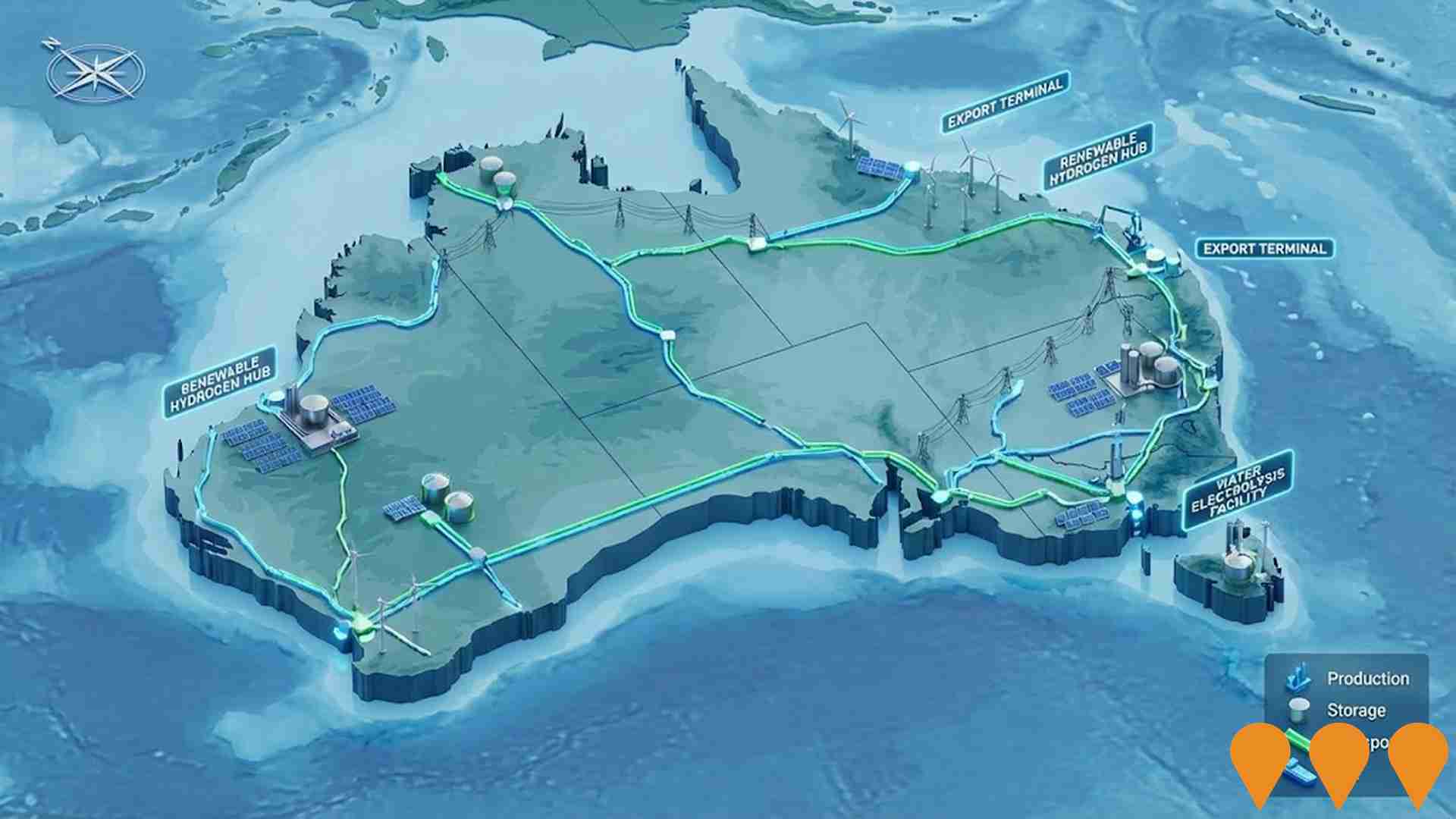
Enabling Infrastructure for Hydrogen Production
A national initiative to coordinate and deploy infrastructure supporting large-scale renewable hydrogen production. Following the 2024 National Hydrogen Strategy refresh and the National Hydrogen Infrastructure Assessment (NHIA) to 2050, the program focuses on aligning transport, storage, water, and electricity inputs with Renewable Energy Zones and hydrogen hubs. Key financial drivers include the $4 billion Hydrogen Headstart program (with Round 2 EOI launched in October 2025) and the Hydrogen Production Tax Incentive (HPTI) legislated to provide a $2 per kg credit from July 2027 to 2040.
Enabling Digital Health Services for Regional and Remote Australia
A national initiative under the Digital Health Blueprint and Action Plan 2023-2033 to bridge healthcare gaps in regional and remote Australia. The project focuses on expanding telehealth, virtual care services, and upgrading clinical connectivity. Key milestones in 2025-2026 include the National Allied Health Digital Uplift Plan and legislated 'sharing by default' for pathology and diagnostic imaging to ensure equitable access regardless of location.

National EV Charging Network (Highway Fast Charging)
Partnership between the Australian Government and NRMA to deliver a backbone EV fast charging network on national highways. Program funds and co-funds 117 DC fast charging sites at roughly 150 km intervals to connect all capital cities and regional routes, reducing range anxiety and supporting EV uptake.

Network Optimisation Program - Roads
A national program concept focused on improving congestion and reliability on urban road networks by using low-cost operational measures and technology (e.g., signal timing, intersection treatments, incident management) to optimise existing capacity across major city corridors.

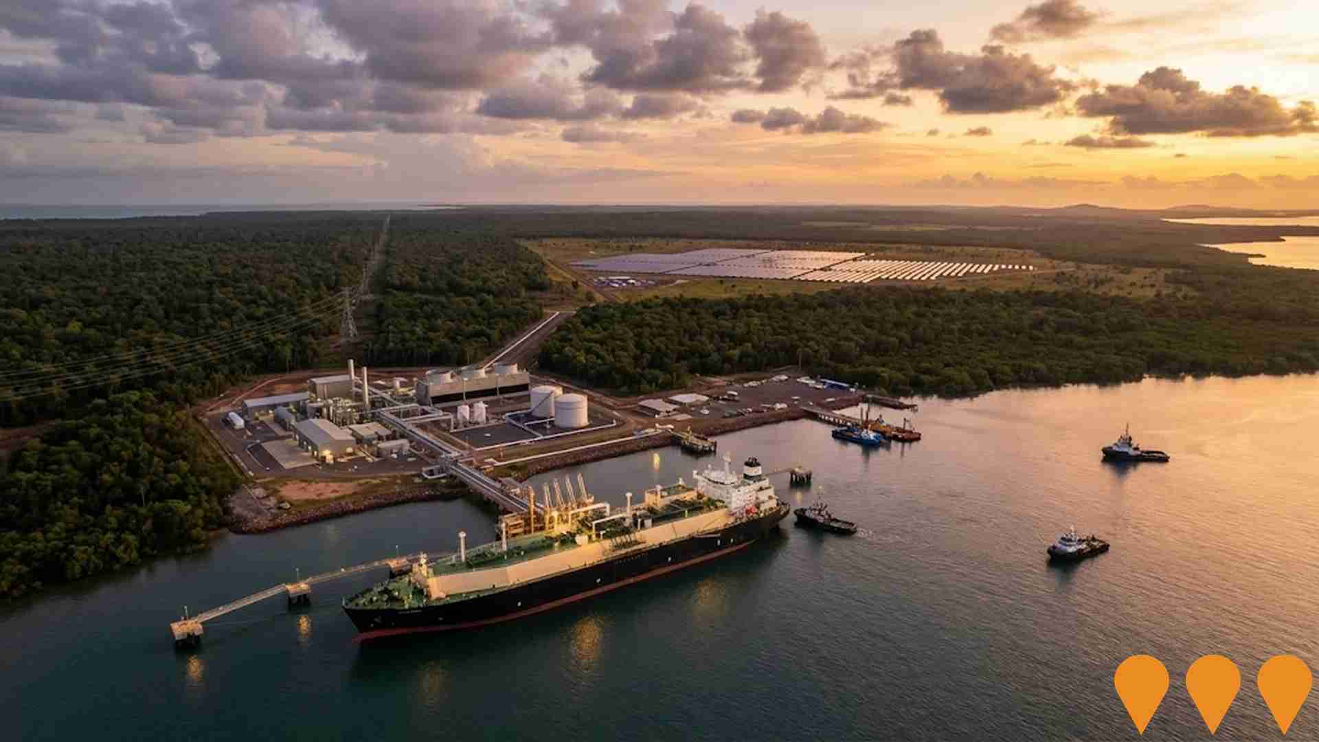
Tiwi H2 (Hydrogen) Project
An export green hydrogen project on the Tiwi Islands by Provaris Energy. It aims to produce up to 100,000 tonnes per annum of green hydrogen for export, using solar energy. The project is estimated to create 500 jobs during construction and 100 positions once operational, with a lifespan of 30 years.
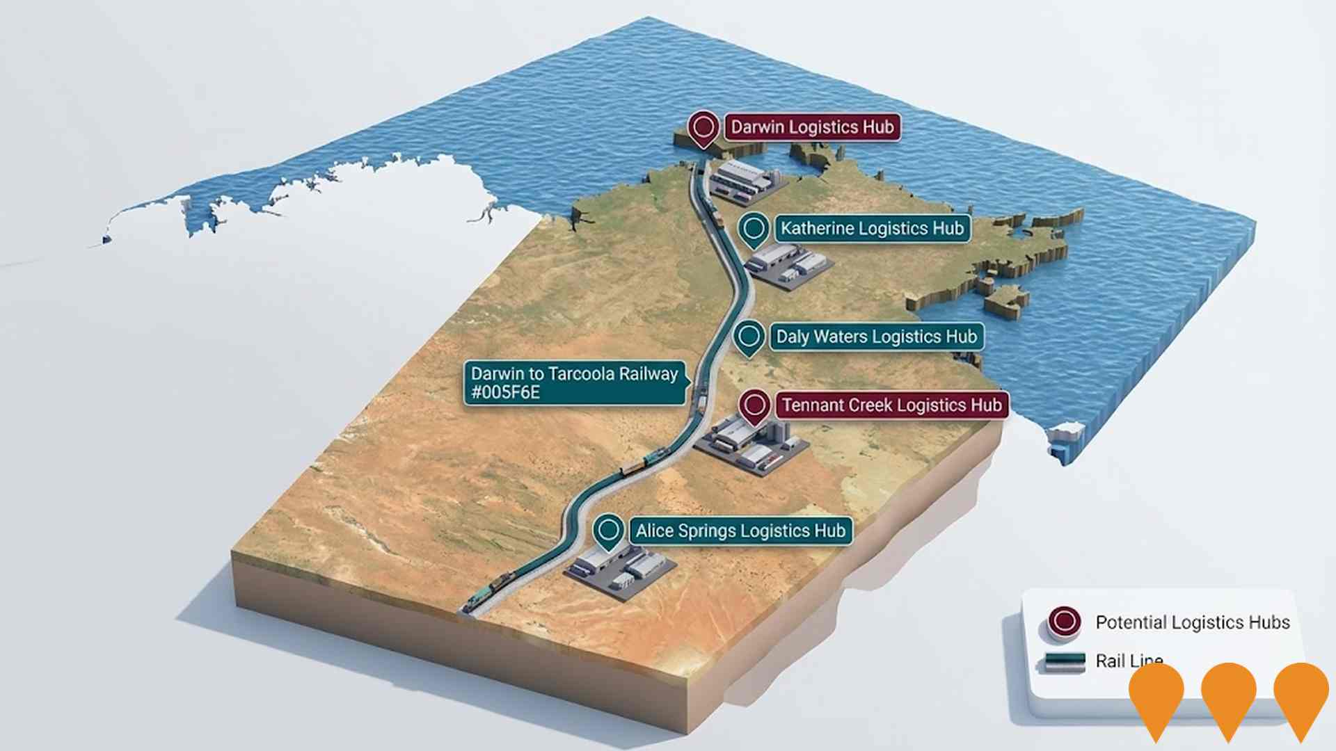
Northern Territory Freight Rail And Logistics Capacity Improvements
Improvements to the Darwin-Tarcoola rail line in the Northern Territory aim to support $38 billion in investments, 6,000+ jobs, and the export of resources and renewable energy by enhancing freight logistics.
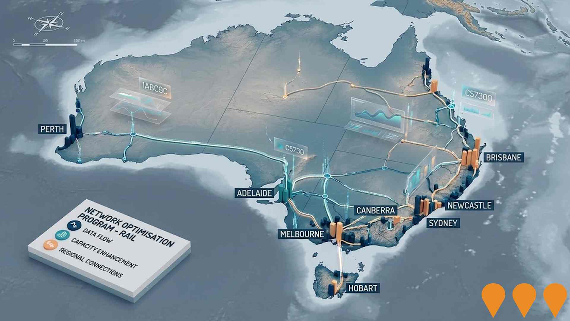
Network Optimisation Program - Rail
A proposal to address urban and regional rail network capacity constraints in Australia through data and technology, aiming to improve efficiency and delay the need for larger-scale investments.
Coastal Hazards Adaptation Strategy
Strategy addressing impacts of rising sea levels on Australia's coasts with options like nature-based methods, barriers, and policy changes to protect against flooding and erosion.
Employment
Employment conditions in Wurrumiyanga face significant challenges, ranking among the bottom 10% of areas assessed nationally
Wurrumiyanga has a balanced workforce comprising both white and blue-collar jobs. Essential services sectors are well-represented, with an unemployment rate of 17.1% as per AreaSearch's aggregation of statistical area data. As of September 2025, there are 537 residents employed while the unemployment rate is 11.2% higher than Rest of NT's rate of 5.9%.
Workforce participation in Wurrumiyanga lags significantly at 43.6%, compared to Rest of NT's 70.4%. Census responses indicate that none of the residents work from home, though Covid-19 lockdown impacts should be considered. Employment is concentrated in education & training, public administration & safety, and health care & social assistance sectors. Wurrumiyanga has a particular employment specialization in education & training, with an employment share 2.3 times the regional level.
Conversely, health care & social assistance is under-represented, with only 12.5% of Wurrumiyanga's workforce compared to 18.8% in Rest of NT. The predominantly residential area appears to offer limited local employment opportunities, as indicated by the count of Census working population versus resident population. Between September 2024 and September 2025, labour force decreased by 1.5%, while employment declined by 4.6%, causing unemployment rate to rise by 2.7 percentage points. This contrasts with Rest of NT where employment fell by 1.3%, labour force contracted by 1.2%, and unemployment rose marginally. Jobs and Skills Australia's national employment forecasts from May-25 project a 6.6% increase over five years and 13.7% over ten years for national employment. Applying these projections to Wurrumiyanga's employment mix suggests local employment should increase by 6.2% over five years and 12.9% over ten years, though this is a simple weighting extrapolation for illustrative purposes and does not take into account localised population projections.
Frequently Asked Questions - Employment
Income
Income metrics place the area in the bottom 10% of locations nationally according to AreaSearch analysis
According to AreaSearch's aggregation of latest postcode level ATO data released for financial year ended June 30, 2023, Wurrumiyanga suburb had a median income among taxpayers of $37,142 and an average income of $49,580. These figures are lower than the national averages of $53,572 for median income and $63,776 for average income. Considering Wage Price Index growth of 8.44% since financial year ended June 30, 2023, estimated current incomes as of September 2025 would be approximately $40,277 (median) and $53,765 (average). Detailed analysis is not possible due to lack of Census income data. The largest income segment in Wurrumiyanga comprises 30.4% earning $0 - $399 weekly, with 552 residents, differing from the surrounding region where 33.6% earn $1,500 - $2,999 weekly. Lower income households are prevalent, with 55.6% earning below $800 weekly, indicating affordability pressures. While housing costs are modest, with 89.8% of income retained, total disposable income ranks at just the 2nd percentile nationally.
Frequently Asked Questions - Income
Housing
Wurrumiyanga is characterized by a predominantly suburban housing profile, with a higher proportion of rental properties than the broader region
In Wurrumiyanga, as per the latest Census, 83.5% of dwellings were houses, with the remaining 16.5% being semi-detached, apartments, or other types. This compares to Non-Metro NT's figures of 75.6% houses and 24.5% other dwellings. Home ownership in Wurrumiyanga stood at 8.7%, with mortgaged dwellings at 0.0% and rented ones at 91.3%. The median monthly mortgage repayment was $607, below Non-Metro NT's average of $1,733. The median weekly rent in Wurrumiyanga was $80, compared to Non-Metro NT's $150 and the national average of $375 for mortgage repayments and $294 for rents.
Frequently Asked Questions - Housing
Household Composition
Wurrumiyanga features high concentrations of family households, with a higher-than-average median household size
Family households constitute 81.5% of all households, including 32.8% couples with children, 24.1% couples without children, and 17.9% single parent families. Non-family households comprise the remaining 18.5%, with lone person households at 17.6% and group households making up 0.8% of the total. The median household size is 3.5 people, larger than the Rest of NT average of 3.1.
Frequently Asked Questions - Households
Local Schools & Education
Wurrumiyanga faces educational challenges, with performance metrics placing it in the bottom quartile of areas assessed nationally
The area's university qualification rate is 13.7%, significantly lower than Australia's average of 30.4%. Bachelor degrees are the most common at 9.1%, followed by postgraduate qualifications (2.4%) and graduate diplomas (2.2%). Technical qualifications account for 14.1% of educational achievements among residents aged 15 and above, with advanced diplomas at 3.0% and certificates at 11.1%. Educational participation is high, with 28.5% of residents currently enrolled in formal education.
This includes 15.1% in primary education, 9.1% in secondary education, and 1.5% pursuing tertiary education.
Frequently Asked Questions - Education
Schools Detail
Nearby Services & Amenities
Transport
No public transport data available for this catchment area.
Frequently Asked Questions - Transport
Transport Stops Detail
Health
Wurrumiyanga's residents are relatively healthy in comparison to broader Australia with a fairly standard level of common health conditions seen across both young and old age cohorts
Wurrumiyanga's health metrics align closely with national benchmarks, as assessed by AreaSearch through mortality rates and chronic condition prevalence. Common health conditions are seen at a standard level across both young and old age cohorts. Private health cover is extremely low, at approximately 47% of the total population (around 845 people), compared to 51.6% in the Rest of NT and the national average of 55.7%.
The most prevalent medical conditions are heart disease and diabetes, affecting 4.6 and 4.4% of residents respectively. Around 82.7% of residents report being completely clear of medical ailments, compared to 78.4% in the Rest of NT. As of 31 December 20XX, 6.9% of residents are aged 65 and over (around 125 people), which is lower than the 8.3% in the Rest of NT. Health outcomes among seniors are notably strong, ranking even higher than the general population nationally.
Frequently Asked Questions - Health
Cultural Diversity
The level of cultural diversity witnessed in Wurrumiyanga was found to be slightly above average when compared nationally for a number of language and cultural background related metrics
Wurrumiyanga had a cultural diversity level above average, with 2.7% of its population born overseas and 91.2% speaking a language other than English at home. Christianity was the predominant religion in Wurrumiyanga, comprising 91.9%, compared to 54.1% across the Rest of NT. The top three ancestry groups were Australian Aboriginal (86.4%), English (4.4%), and Australian (2.8%).
These figures differed from regional averages: Australian Aboriginal was substantially higher than the regional average of 43.6%, while English and Australian were notably lower than their respective regional averages of 14.3% and 14.9%. Notably, Vietnamese ethnicity was overrepresented in Wurrumiyanga at 0.3%, compared to the regional figure of 0.3%.
Frequently Asked Questions - Diversity
Age
Wurrumiyanga hosts a very young demographic, ranking in the bottom 10% of areas nationwide
The median age in Wurrumiyanga is close to 32 years, compared to the Rest of Northern Territory's average of 31 years and the Australian median of 38 years. The 45-54 age cohort is notably over-represented in Wurrumiyanga at 14.1%, while the 5-14 year-olds are under-represented at 11.8%. Post-2021 Census data shows that the 55 to 64 age group grew from 10.2% to 11.9% of the population, and the 65 to 74 cohort increased from 4.2% to 5.6%. Conversely, the 5-14 cohort declined from 14.2% to 11.8%, and the 45 to 54 group dropped from 15.5% to 14.1%. Looking ahead to 2041, demographic projections reveal significant shifts in Wurrumiyanga's age structure. The 45-54 cohort shows the strongest projected growth at 27%, adding 69 residents to reach 326. In contrast, both the 85+ and 15-24 age groups are projected to have reduced numbers.