Chart Color Schemes
This analysis uses Suburbs and Localities (SAL) boundaries, which can materially differ from Statistical Areas (SA2) even when sharing the same name.
SAL boundaries are defined by Australia Post and the Australian Bureau of Statistics to represent commonly-known suburb names used in postal addresses.
Statistical Areas (SA2) are designed for census data collection and may combine multiple suburbs or use different geographic boundaries. For comprehensive analysis, consider reviewing both boundary types if available.
est. as @ -- *
2021 Census | -- people







Curious about local property values? Filter the chart to assess the volume and appreciation (including resales) trends and regional comparisons, or scroll to the map below view this information at an individual property level.
Find a Recent Sale

Sales Detail
Balnarring has an estimated 2,302 residents, down from 2,371 at the 2021 Census — a change of 69 people, or 2.9%. The population has thinned by an average 1.0% a year over five years, slower than 98% of areas nationally. Density is about 84 people per square kilometre. Population is estimated from ABS Estimated Resident Population releases and GNAF address data, re-based from the 2021 Census and updated annually.
Detail
As of Aug 2026, the suburb of Balnarring has an estimated resident count of around 2,302, determined through AreaSearch's evaluation of broader ABS demographic releases alongside validated post-Census address additions. This indicates a contraction of 69 people (2.9%) compared to the 2021 Census tally of 2,371 people. Such an estimate stems from the June 2025 ABS ERP release showing 2,297 residents, combined with 4 validated new addresses confirmed since the Census date. With 83 persons per square kilometer, the local density remains low, offering generous personal space and scope for future expansion.
Overseas migration served as the primary growth contributor in recent times, generating approximately 55.00000000000001% of total population additions. Projections for the suburb of Balnarring utilize 2024 ABS/Geoscience Australia SA2 figures based on 2022 benchmarks, supplemented where needed by 2023 VIC State Government LGA projections transformed to the SA2 level via weighted growth aggregation. Cohort-specific growth rates derived from this process are incorporated for 2032 to 2041 across all localities. Looking ahead, the suburb of Balnarring is slated for demographic gains surpassing the national statistical area median, expanding by 373 persons to 2041 under consolidated SA2 modelling, which represents a 16.0% overall rise across the 16 years.
Frequently Asked Questions - Population
Detail
Examining ABS residential approvals apportioned to local catchments, AreaSearch identifies an almost total absence of new home consents in Balnarring, tallying an estimated 4 homes across the preceding 5 financial years. Within FY-25 to date, 1 approvals have been documented. Given recent demographic contractions, this building pace remains proportionate for market participants, while newly planned dwellings carry an average construction value of $580,000—moderately exceeding regional benchmarks and pointing toward higher-end builds. Residential building output in Balnarring falls well short of Greater Melbourne levels. Such constrained addition of new stock tends to bolster pricing and buyer interest for established real estate, even as construction rates picked up slightly in recent years.
Activity similarly trails the nationwide standard, highlighting the mature character of the locality alongside prospective planning controls.
Frequently Asked Questions - Development
Development applications around Balnarring
SOURCE: Planning portals and council registers, compiled by AreaSearch. Distance & bearing measured from the suburb midpoint.
AreaSearch tracks 57 current infrastructure and development projects close to Balnarring, worth an estimated $6.78 billion. 14 are already under construction and 17 are due for completion within three years. The pipeline spans residential development, ports, marinas, fisheries & aquaculture and transport & logistics. Records are compiled from Infrastructure Australia, state agencies, council planning portals and public announcements, reviewed and updated daily, then ranked by proximity, construction stage, completion horizon and project scale.
Detail
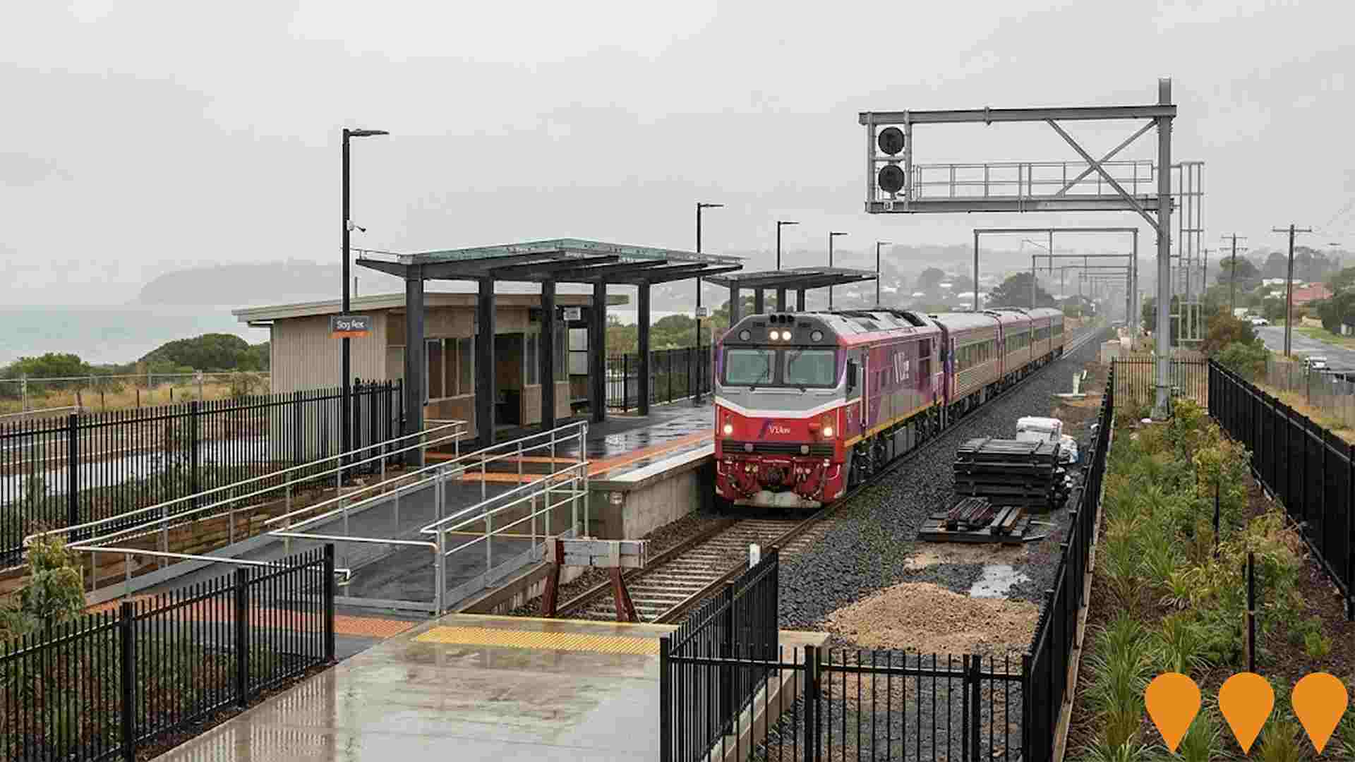
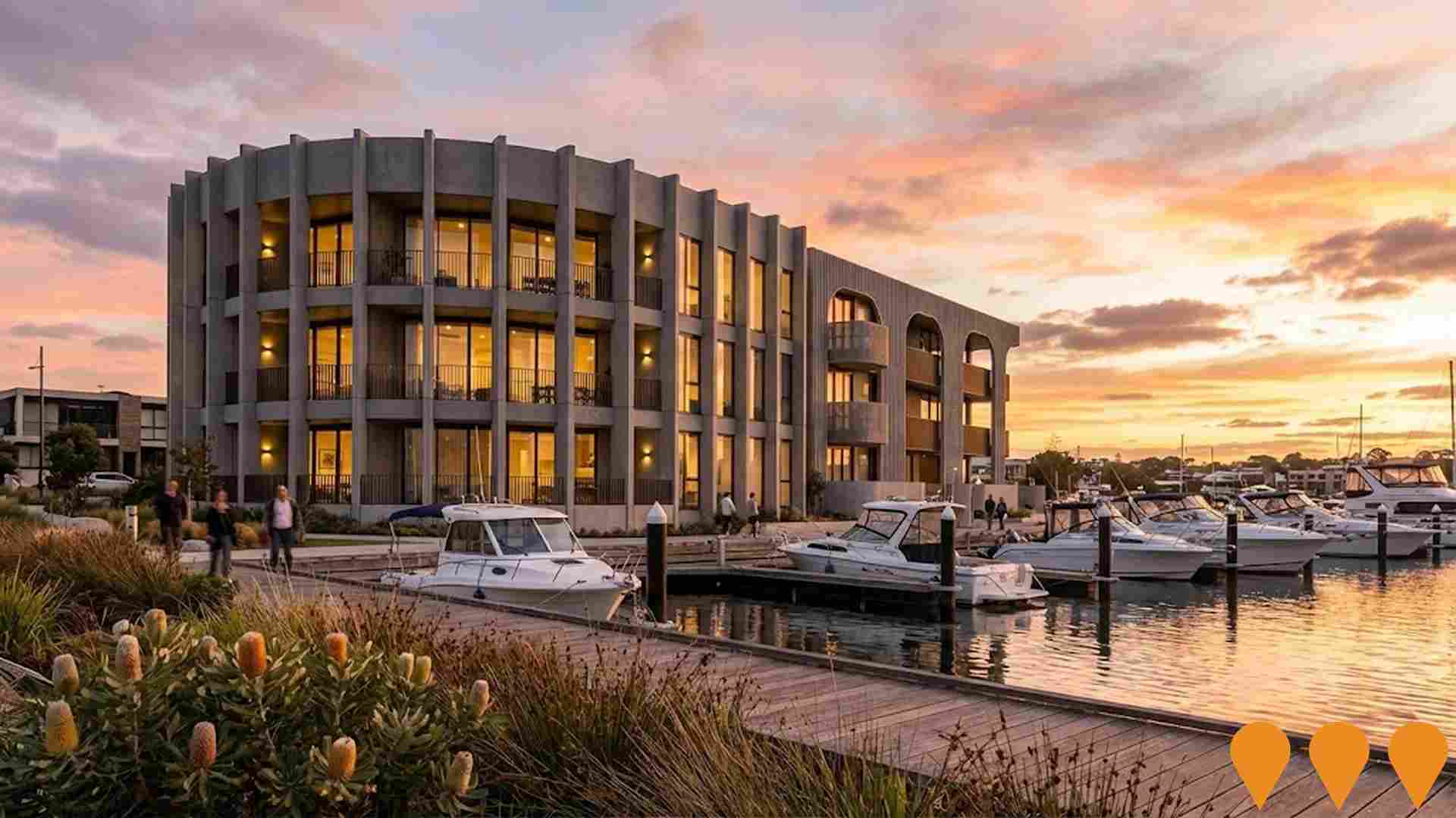
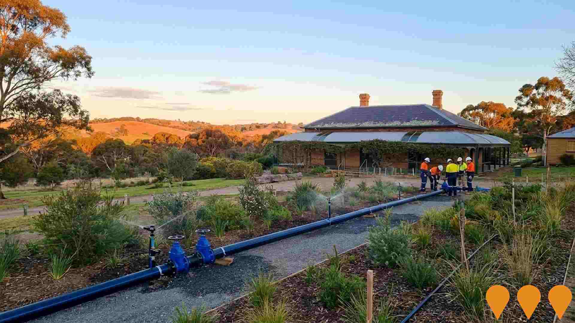
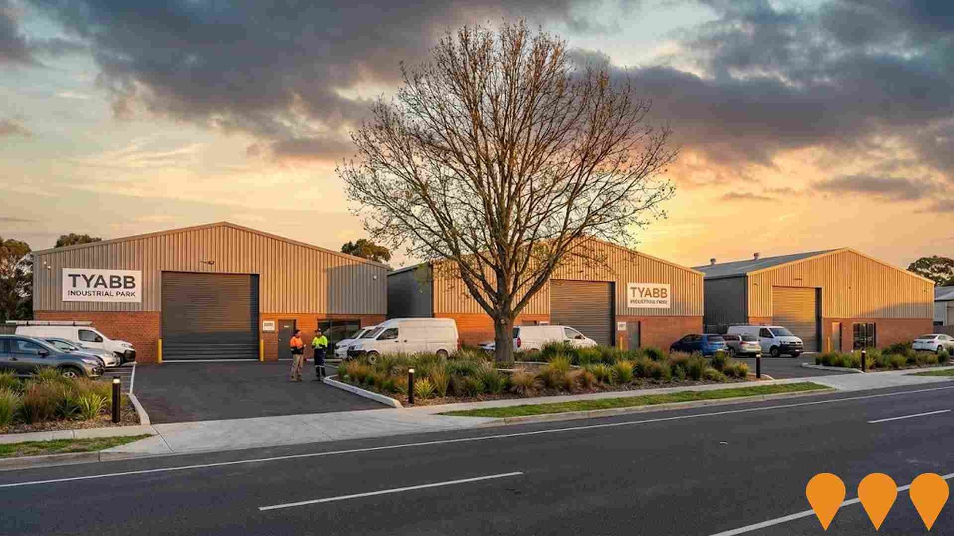
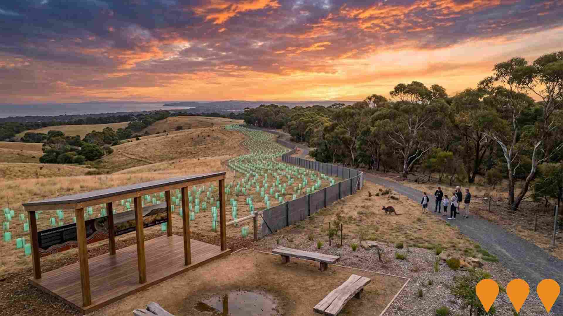
Community outcomes are significantly shaped by major civic works, planning strategies, and public infrastructure delivery. AreaSearch has pinpointed a single project anticipated to influence the immediate region. Key undertakings across the broader district encompass Peninsula Sands Estate, Mornington Peninsula Residential Development Program, Western Port Marine Infrastructure, and Stony Point Line Service Improvements, with priority initiatives summarized below.
Professional plan users can use the search below to filter and access additional projects.
INFRASTRUCTURE SEARCH
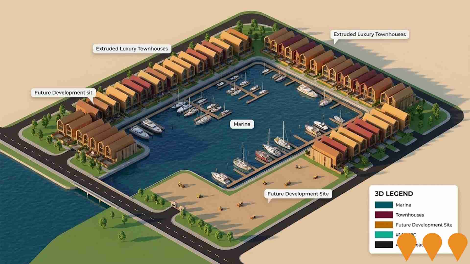
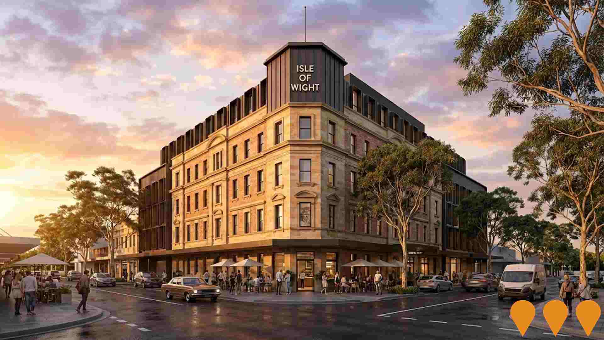
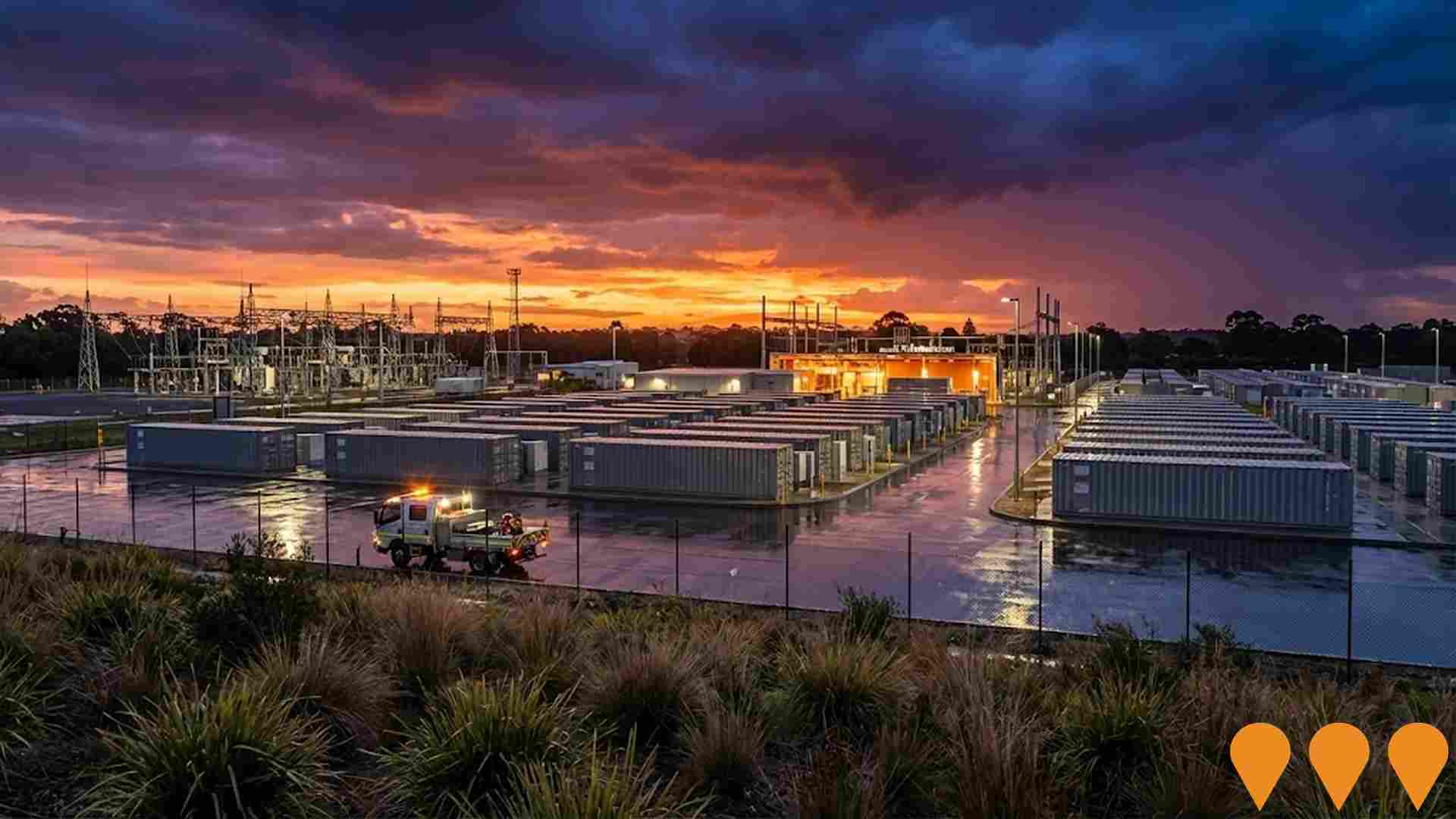
 Denotes AI-based impression for illustrative purposes only, not to be taken as definitive under any circumstances. Please follow links and conduct other investigations from the project's source for actual imagery. Developers and project owners wishing us to use original imagery please Contact Us and we will do so.
Frequently Asked Questions - Infrastructure
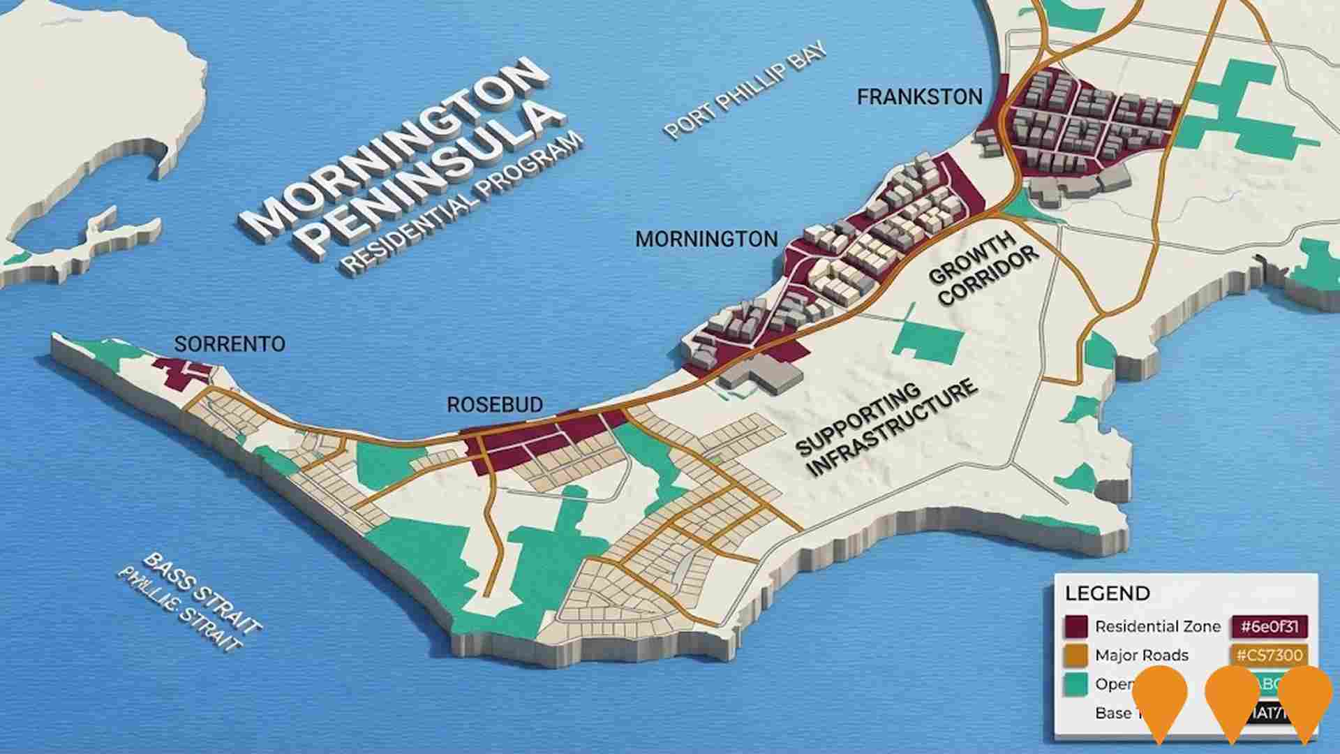
Mornington Peninsula Housing and Settlement Strategy
Strategic residential development program and Housing and Settlement Strategy guiding future housing and population growth across the Mornington Peninsula to 2036. The strategy aims to manage the delivery of approximately 24,000 new dwellings while protecting the region's character.
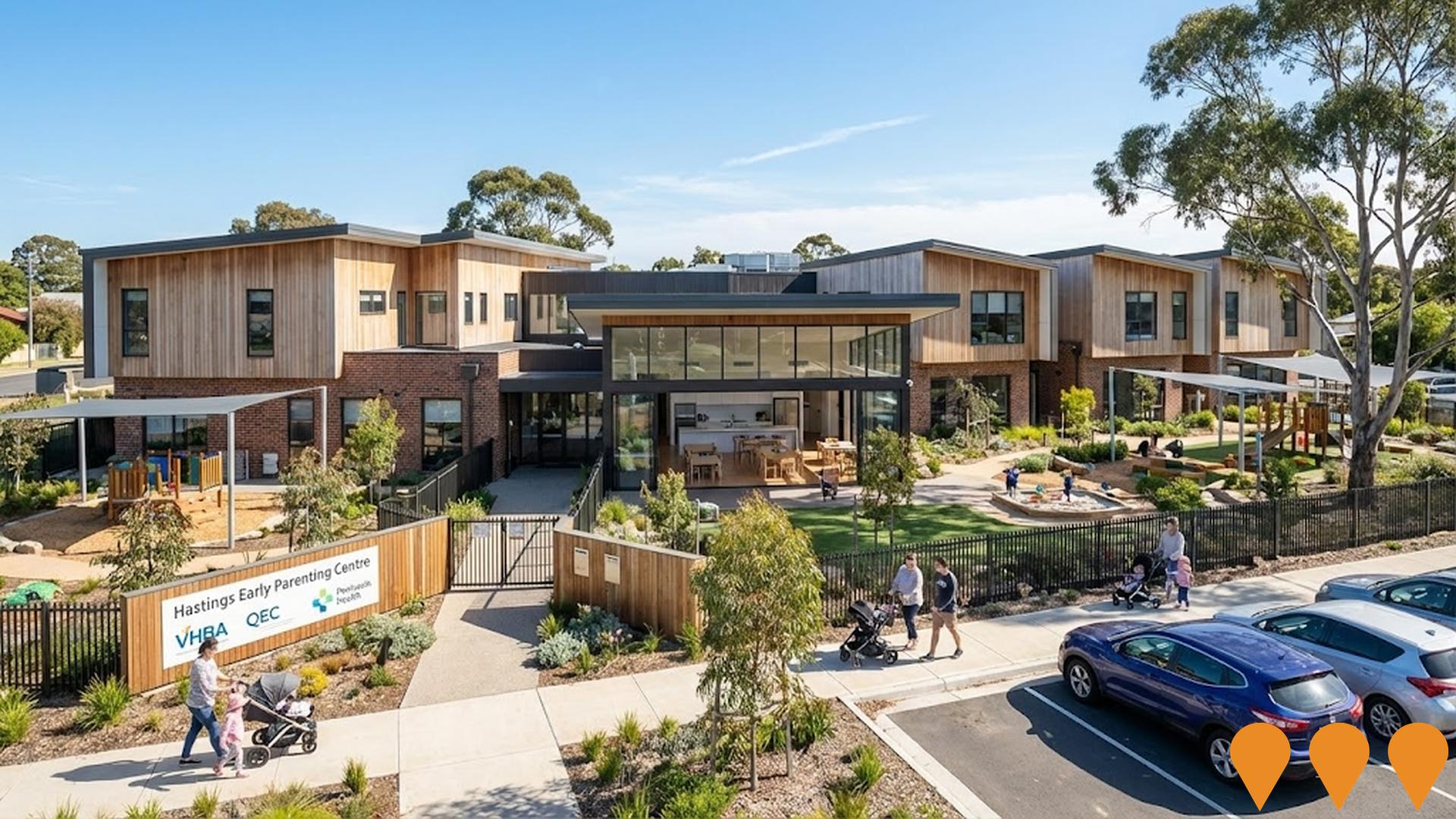
Baabak Hastings Early Parenting Centre
Completed early parenting centre with 10 residential family units, 4 day-stay places, kitchen and dining area, playrooms, multi-purpose rooms, outdoor play areas and landscaping at 185 High Street, Hastings. Officially named Baabak Hastings Early Parenting Centre, using a Boonwurrung word meaning caring or nourishing a child. Delivered by the Victorian Health Building Authority in partnership with the Queen Elizabeth Centre (QEC), with support from Peninsula Health, Brand Architects and builder SJ Higgins. The centre is now open and welcoming families on the Mornington Peninsula, part of a wider more than $168 million state early parenting centres expansion and upgrade program.
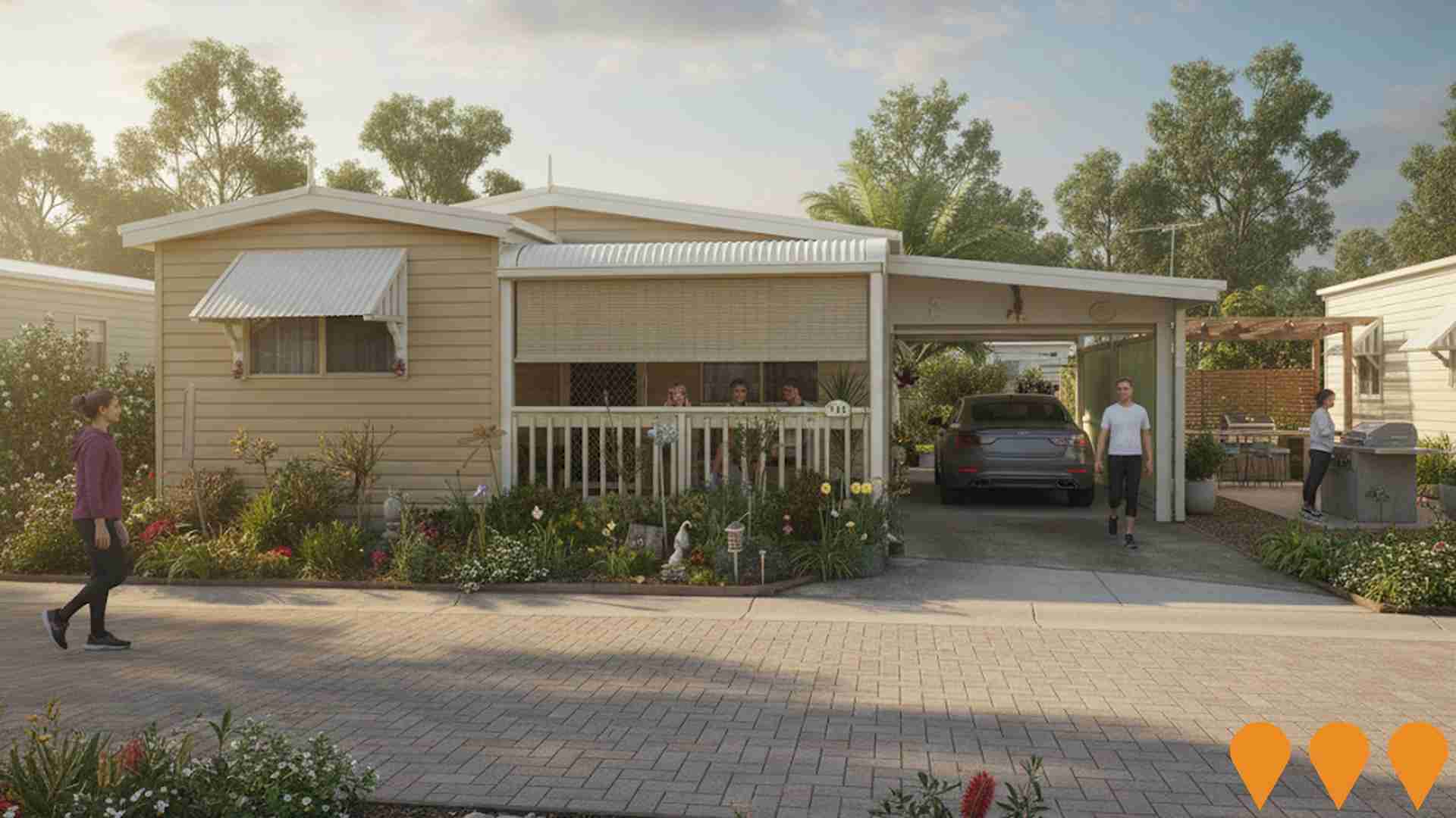
Peninsula Parklands
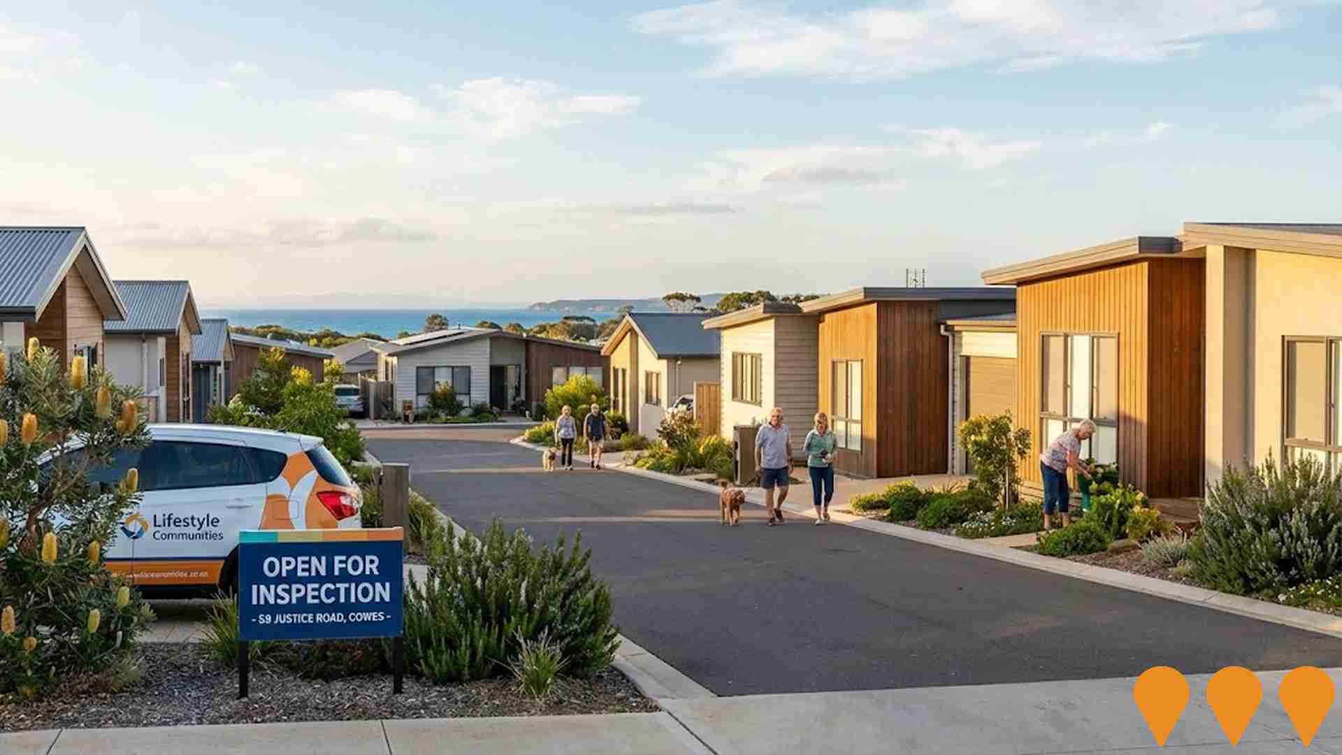
Over 50s land lease community providing low maintenance, pet friendly living with facilities such as a community centre, games room, library, BBQ areas, mens shed and community garden. Located close to shops, transport and medical services in Hastings on the Mornington Peninsula.
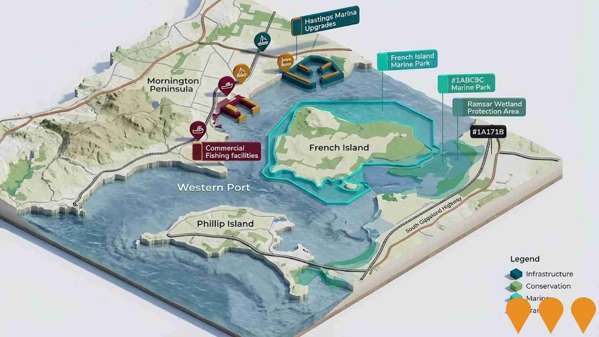
Port of Hastings Marine Infrastructure and Western Port Development
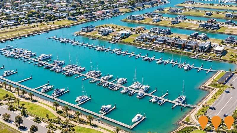
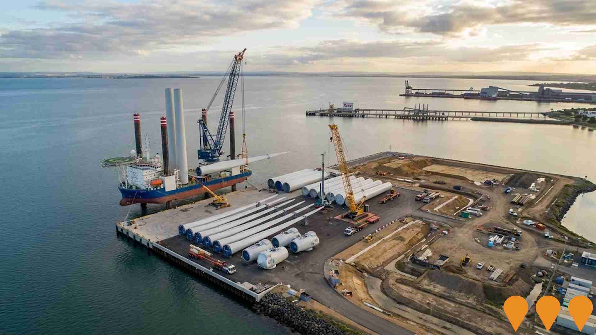
Ongoing planning and staged marine infrastructure upgrades across the Port of Hastings and Western Port. Current priorities include long-term port development, infrastructure supporting renewable energy supply chains, maintenance of commercial marine assets, protection of the internationally significant Ramsar wetlands, and continued improvements to boating and maritime infrastructure. The Port Development Strategy 2055 is guiding future investment while environmental assessment continues for major new marine infrastructure.
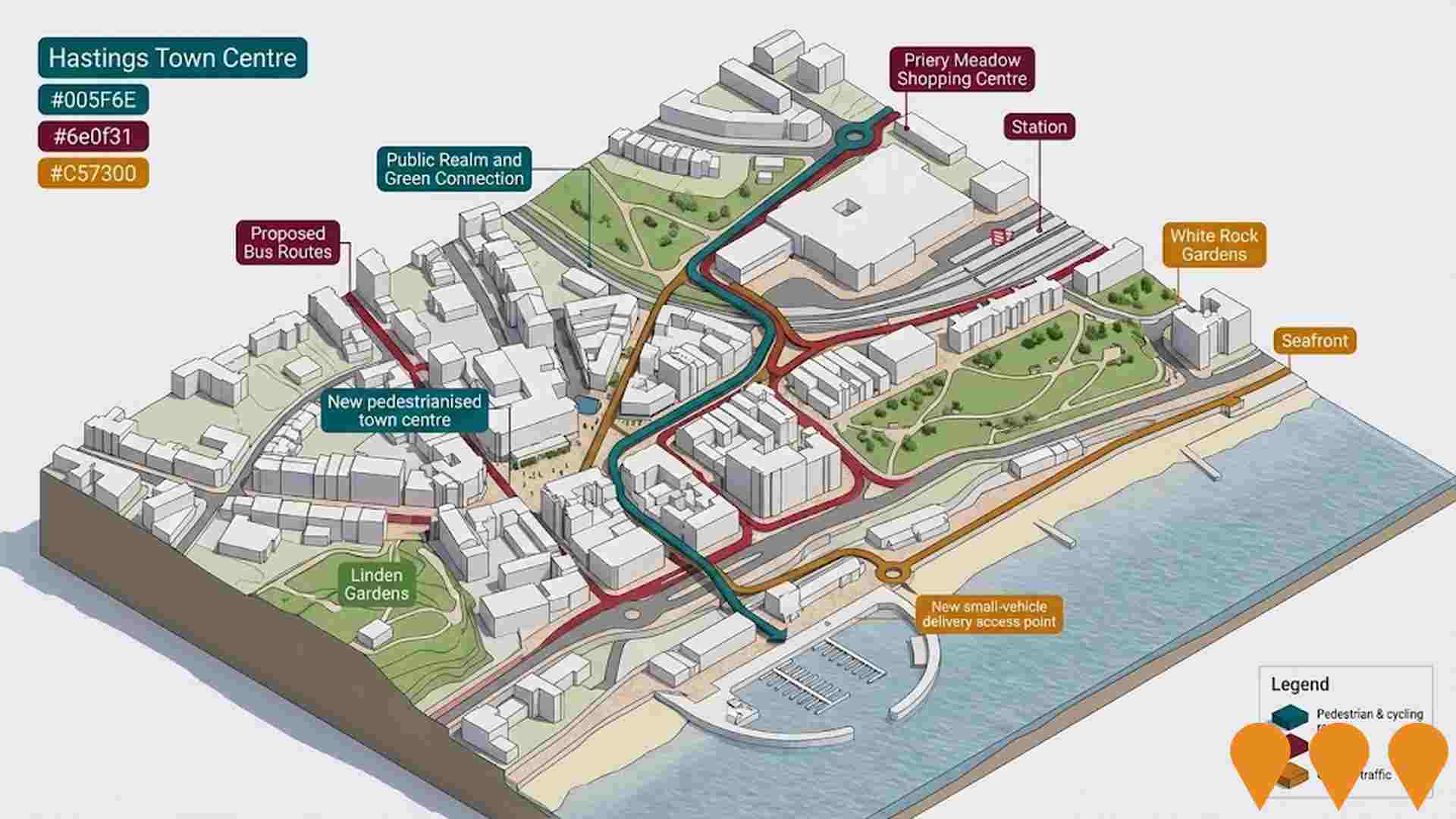
Hastings Town Centre Structure Plan
Council-adopted structure plan guiding land use, urban design and access in Hastings town centre. Focus areas include strengthening High Street as the civic and retail spine, improving pedestrian and cycling links, and enabling additional retail/commercial activity while supporting housing in non-residential precincts. Incorporated into the Mornington Peninsula Planning Scheme via Amendment C190morn.
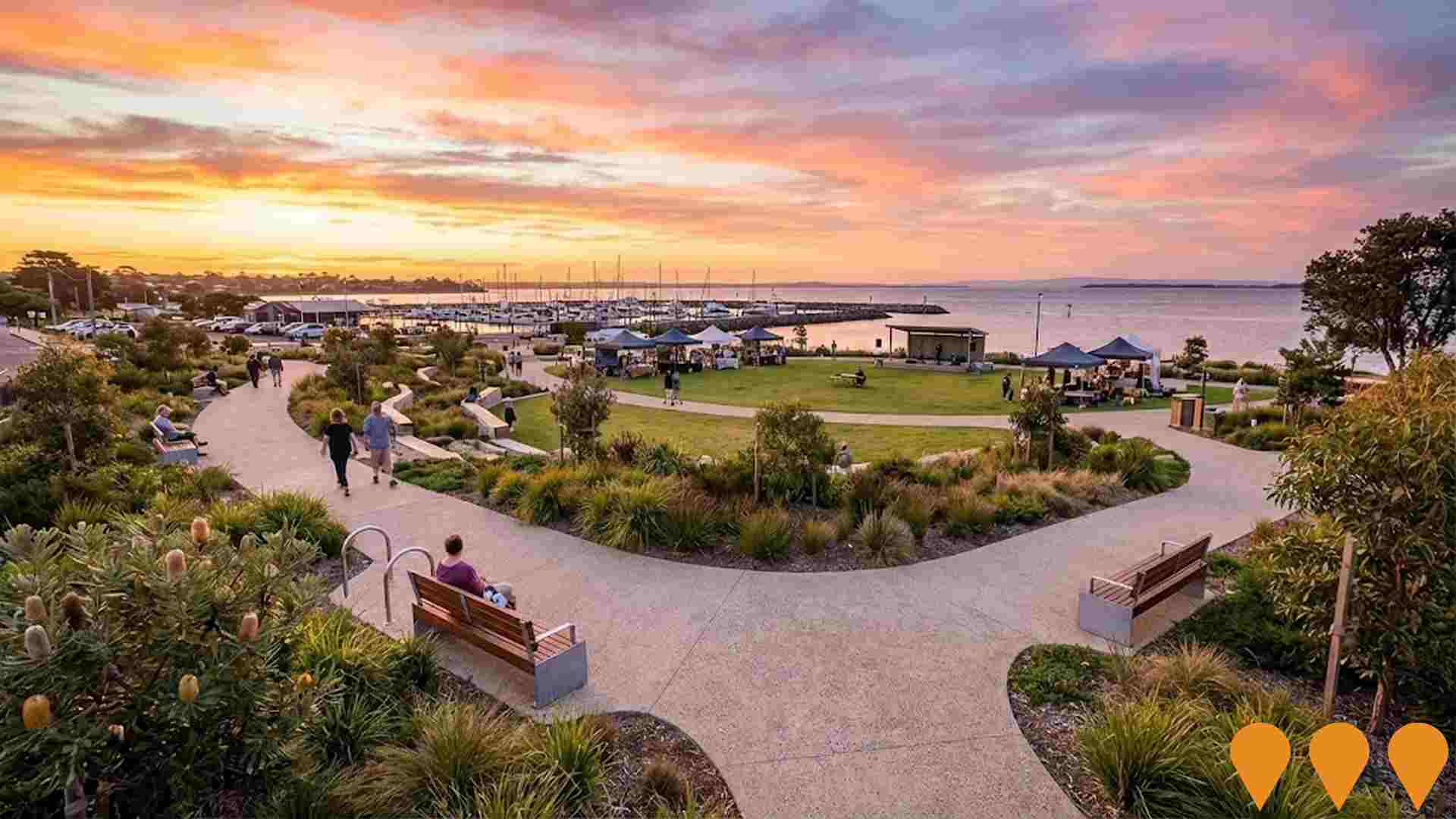
Hastings Foreshore Masterplan Implementation
A council-adopted 2023 masterplan for the Hastings Foreshore extending from Hastings South to the northern end of Fred Smith Reserve. Staged delivery includes landscaping and path network upgrades in the Northern Foreshore area (now complete), seating and planting improvements, and car park maintenance. Concept designs are underway for a Flexible Events area capable of hosting markets, festivals, and concerts while preserving the existing foreshore character.
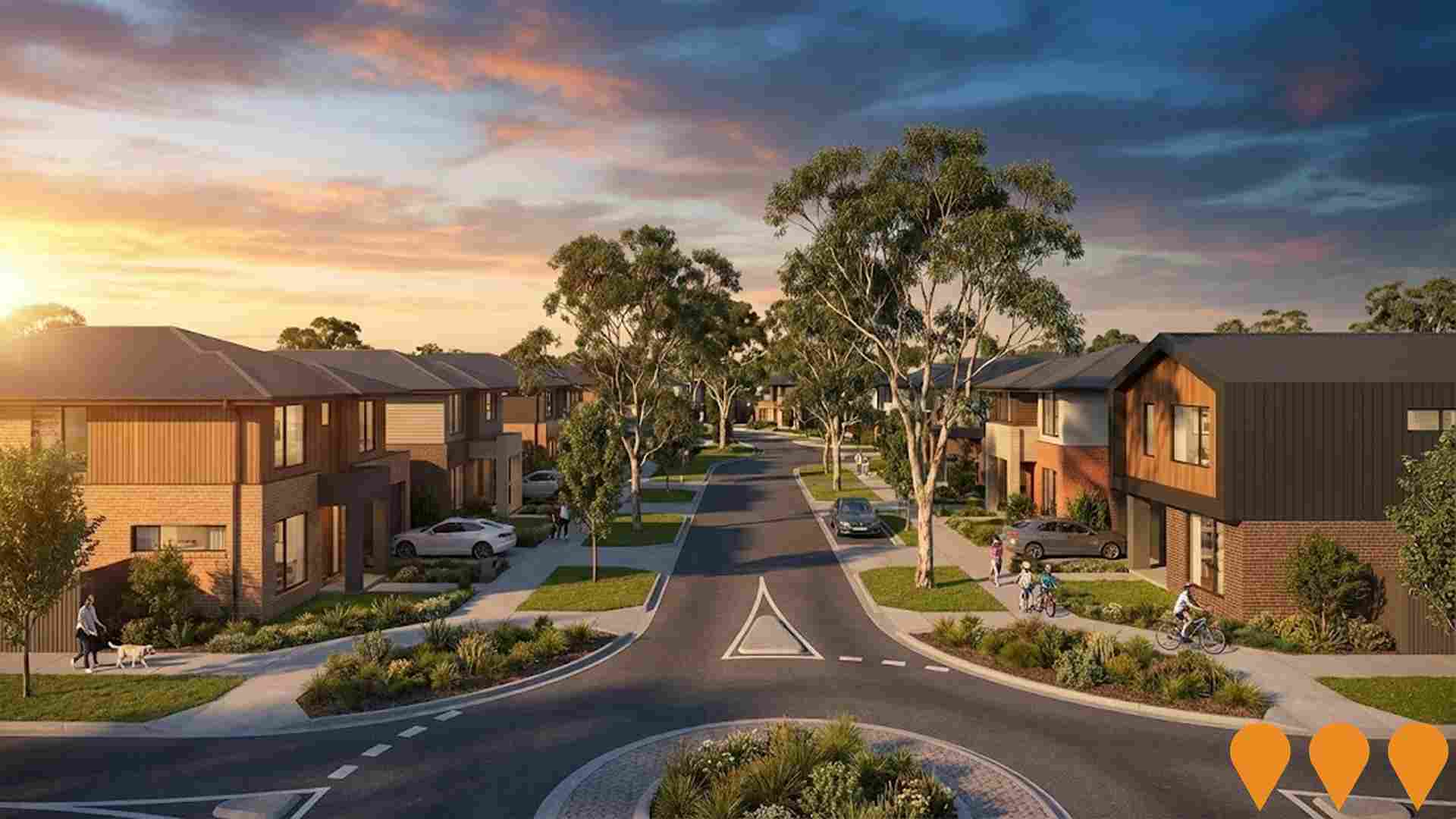
Henderson Grove
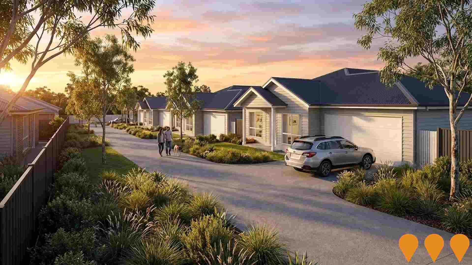
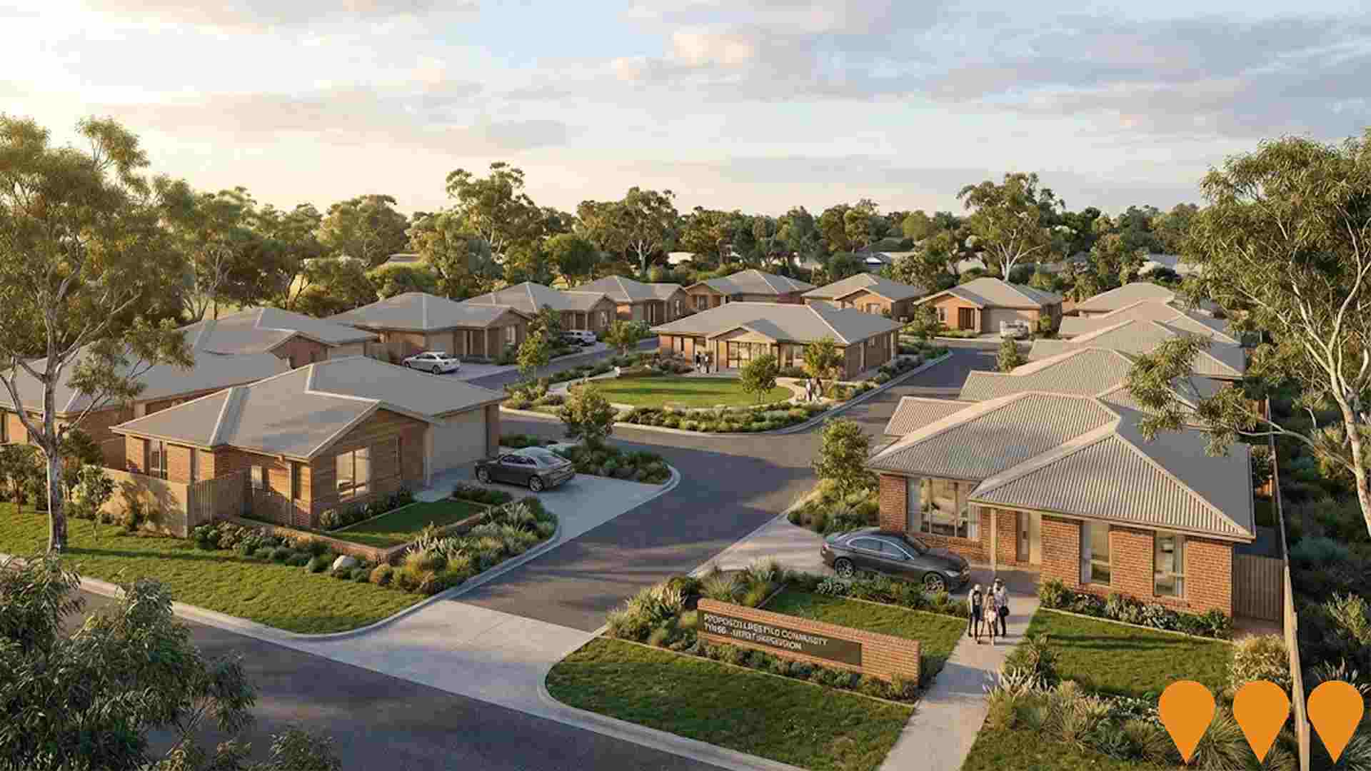
Boutique house-and-land estate delivering 70 residential lots, with 30 retained by Defence Housing Australia for Navy families stationed at HMAS Cerberus. Retail lots sold out; community features tree-lined streets and convenient access to Hastings town centre and transport.
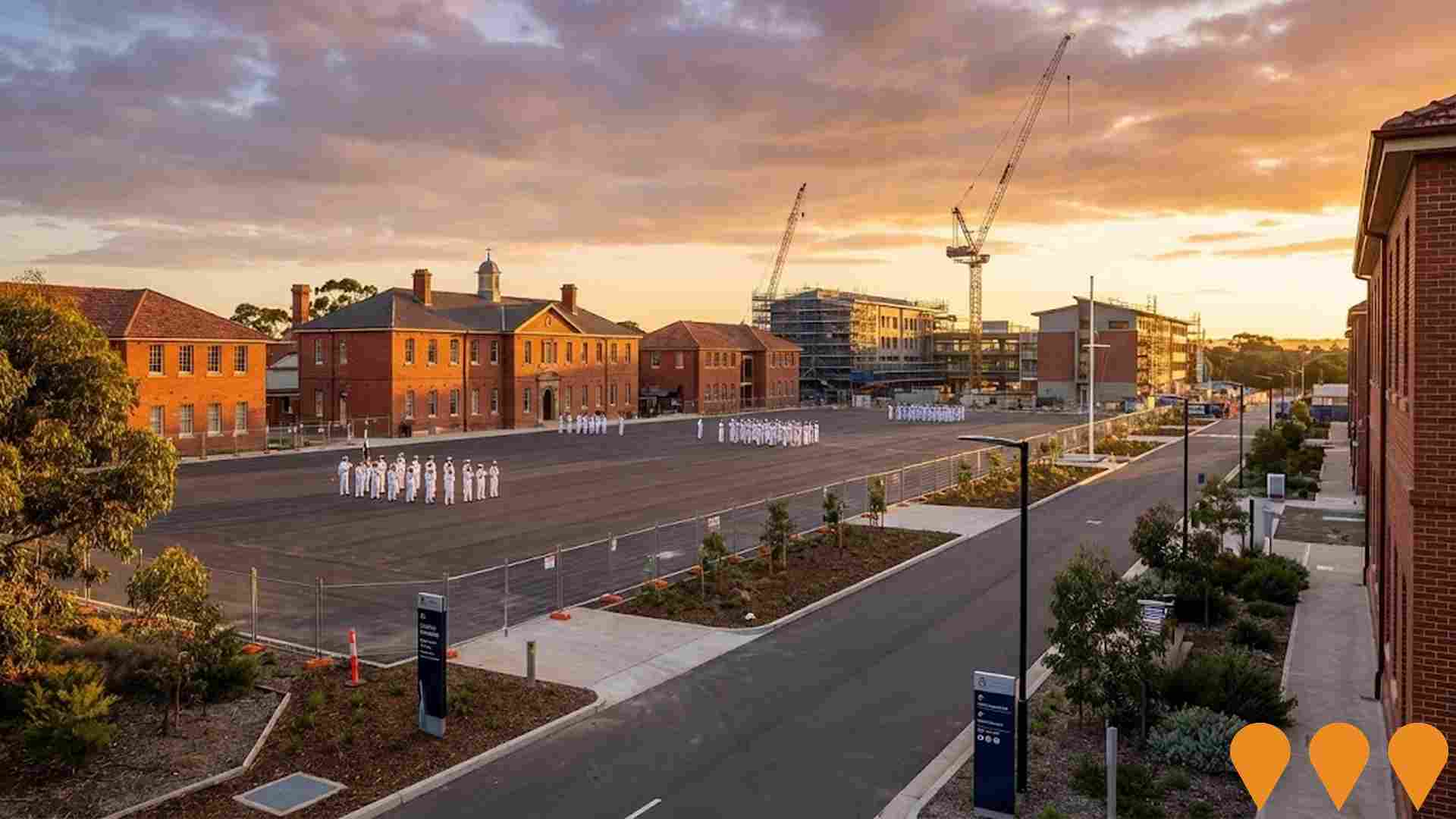
HMAS Cerberus Redevelopment
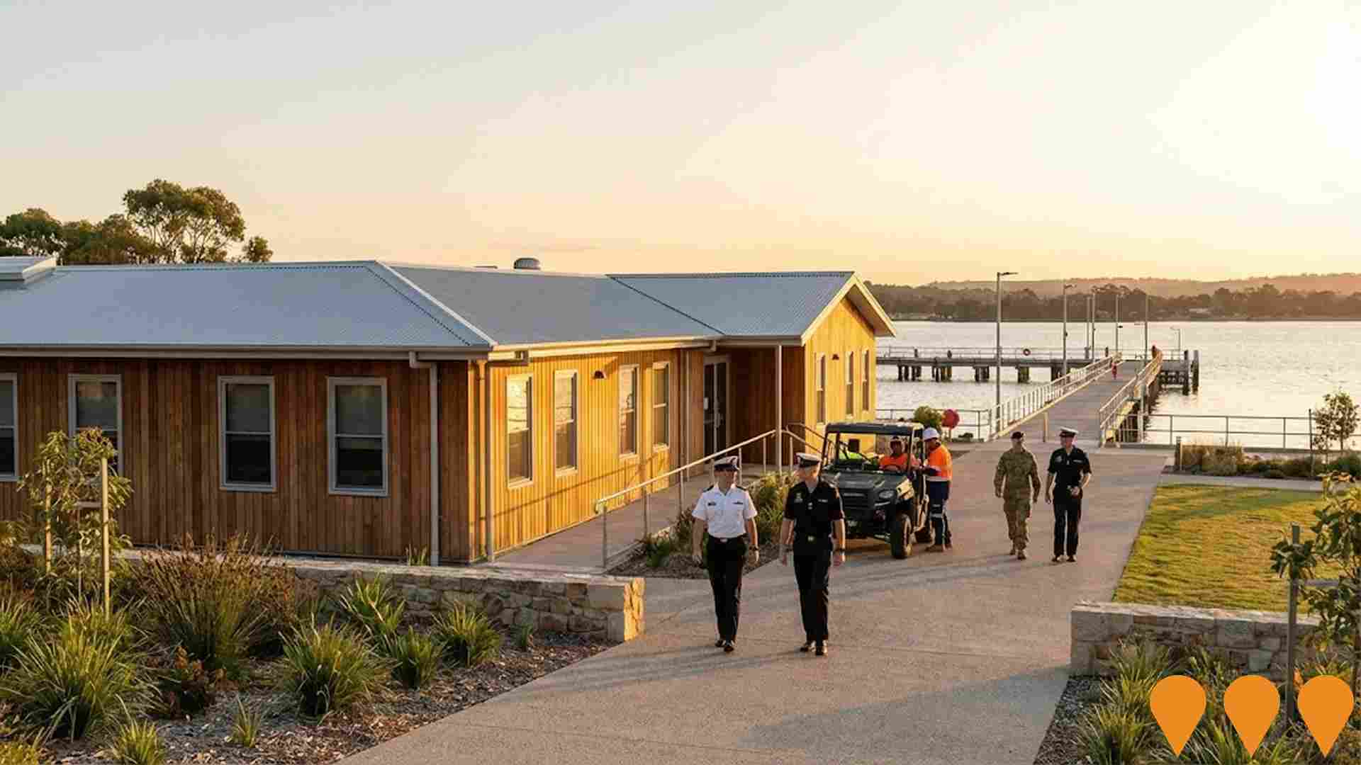
A $463 million redevelopment of the Royal Australian Navy's primary training facility at Crib Point, covering a 1,517-hectare site including heritage-listed areas. Delivered by managing contractor Lendlease in two phases (Phase 1 completed mid-2020, Phase 2 completed mid-2025), the project upgraded essential service infrastructure including water, electrical, sewerage, stormwater, ICT and gas; refurbished training facilities and living-in accommodation; and constructed new specialist training simulators including a Survival and Ship Safety facility. The base is now certified fit-for-purpose until at least 2037.In February 2026 the government announced a partial divestment of non-operational land including vacant land and the golf course.


1,186 residents of Balnarring are employed, from a labour force of 1,216. Unemployment sits at 2.5%, with participation at 64.6%. Weighted for its industry mix, the area's sectors are forecast to grow about 6.2% nationally over five years. That reflects industry composition only and makes no allowance for local population growth. The working-day population is estimated at 2,611, about 113% of the resident population, so the area draws in more workers than it sends out. Unemployment and labour force come from ABS Small Area Labour Markets, updated quarterly; the industry and occupation profile is from the 2021 Census.
Detail
Statistical area aggregations from AreaSearch indicate that Balnarring possesses a highly qualified local labour pool with solid essential services representation, a low 2.5% jobless rate, and an estimated annual job expansion of 0.7%. By March 2026, employed locals numbered 1,186, and unemployment stood 2.3% lower than the 4.8% recorded across Greater Melbourne, although local labour participation (64.6%) trails the broader metropolitan mark of 70.1%. Census records also showed a notable 31.3% of workers based at home, though pandemic restrictions during that period must be noted. Local workers are predominantly engaged in health care & social assistance, construction, and education & training.
The community exhibits a strong concentration in construction, where its workforce proportion reaches 1.5 times the regional average. Conversely, transport, postal & warehousing represents a modest 1.5% of local employment relative to 5.2% regionally. With 0.8 workers for each resident at the Census, the area delivers an above-average volume of local employment opportunities. According to AreaSearch evaluations of broader ABS and SALM metrics, the annual period recorded a 0.7% lift in employment alongside a 0.2% increase in the workforce, prompting a 0.4 percentage point reduction in the unemployment rate. Over the identical timeframe, Greater Melbourne registered a 2.1% employment rise, a 2.3% labour pool expansion, and a 0.2 percentage point climb in joblessness. Further forward-looking context comes from Jobs and Skills Australia's Mar-26 national forecasts, mapped against local sector distributions across five and ten-year horizons. Nationally, jobs are projected to rise by 6.6% over five years and 13.7% over ten years, though trajectories vary by industry. Applied to the local industry base, these weightings indicate potential employment gains of 6.2% over five years and 13.0% over ten years (note that this is a simple illustrative extrapolation and excludes localized demographic forecasts).
Frequently Asked Questions - Employment
Median household income in Balnarring is $1,918 a week (about $100,000 a year), with median personal income at $862 a week. ATO records put median taxable income at $56,343 a year against an average of $78,533. Household income is from the 2021 Census; taxable income is from ATO Taxation Statistics for the latest financial year available, indexed forward using the ABS Wage Price Index.
Detail
ATO figures compiled by AreaSearch for financial year 2023 place Balnarring's earnings well above the national standard. Taxpayers in the locality register a median income of $56,343 and an average of $78,533, compared to Greater Melbourne benchmarks of $57,688 and $75,164. Factoring in subsequent Wage Price Index expansion of 9.62% since financial year 2023, March 2026 estimates reach approximately $61,763 (median) and $86,088 (average). Census distributions show personal, household, and family earnings clustering near the 60th percentile nationwide. Around 28.6% of residents (658 individuals) fall into the $1,500 - 2,999 income bracket, aligning with the 32.8% seen across metropolitan Melbourne.
After meeting accommodation expenses, households retain 87.2% of their income, underscoring solid discretionary capacity and securing an 8th decile SEIFA income position.
Frequently Asked Questions - Income
Balnarring had 841 occupied dwellings at the 2021 Census, 96% detached houses and 1% apartments. 40% are owned with a mortgage, 9% rented and 51% owned outright. At that Census the median rent was $480 a week and the median mortgage repayment $2,167 a month. Rent absorbs 25.0% of household income here and mortgage repayments 26.1%. Dwelling stock, tenure and housing costs are 2021 Census measures — the only source that counts dwellings at this boundary size.
Detail
Census records indicate that Balnarring's residential landscape consists of 95.6% standalone houses and 4.4% alternative dwellings such as apartments, semi-detached properties, and other units, differing markedly from Melbourne metro where standalone houses account for 67.9% and other formats comprise 32.1%. Outright ownership is particularly elevated at 50.7%, far exceeding the metropolitan rate, while remaining homes are under mortgage (40.4%) or leased (8.9%). Typical monthly mortgage commitments stand at $2,167 compared to the Melbourne metro median of $2,000, while median weekly rent is $480 against $390 regionally. Both metrics outpace nationwide benchmarks of $1,863 for home loans and $375 for weekly rents.
Frequently Asked Questions - Housing
Balnarring counted 841 households at the 2021 Census, averaging 2.6 people each. 34% are couples with children, against 34% couples without children. 22% of households are people living alone, and families average 1.8 children. Household and family composition is measured only by the Census, so these are 2021 figures.
Detail
Families constitute the vast majority of local households at 77.3%, broken down into couples without children (34.4%), couples with children (33.9%), and single parent families (8.3%). Non-family living arrangements account for the remaining 22.7%, consisting of lone person households (21.5%) and group households (0.8%). The typical household size is 2.6 people, matching Greater Melbourne.
Frequently Asked Questions - Households
36.6% of adults in Balnarring hold a university qualification, including 26.2% with a bachelor degree and 6.0% with postgraduate qualifications, higher than 88% of areas nationally. A further 22.7% hold a vocational qualification. 1 school serves the area, with 351 enrolment places and an average ICSEA of 1,077 against a national benchmark of 1,000. Qualifications come from the 2021 Census; school enrolments, ICSEA and results come from ACARA's current release.
Detail
Balnarring displays strong educational credentials, with 36.6% of residents aged 15+ holding tertiary degrees, easily outpacing the 23.5% in SA4 region and 25.0% in SA3 area. Such qualifications provide a solid foundation for professional and knowledge-intensive roles. Bachelor qualifications form the largest share at 26.2%, followed by postgraduate awards at 6.0% and graduate diplomas at 4.4%. Concurrently, vocational qualifications are held by 36.9% of residents aged 15+, divided between certificates (22.7%) and advanced diplomas (14.2%). Formal study participation remains robust across the community, with 29.3% of residents actively undertaking education.
Within this cohort, 11.9% attend primary school, 7.5% are enrolled in secondary institutions, and 3.7% are engaged in tertiary studies.
Frequently Asked Questions - Education
Schools Detail
Getting around Balnarring means driving: households keep an average of 1.8 vehicles, and scheduled services reach only a handful of stops. Service data is built from operators' published GTFS timetables; vehicle ownership is from the 2021 Census.
Detail
Public transit infrastructure within Balnarring comprises 4 active transport stops operating bus services across 1 individual routes, generating 350 weekly passenger trips. Local transit connectivity is limited, with households situated an average distance of 732 meters from the nearest stop. Given its residential orientation, outbound commuting prevails, with private vehicles accounting for 95% of trips. Average motor vehicle ownership is 1.8 per dwelling, exceeding regional norms, while 31.3% of workers worked from home according to the 2021 Census (which may reflect COVID-19 conditions). Transit services maintain an average timetable of 50 trips per day across the network, providing approximately 87 weekly trips per individual stop.
Frequently Asked Questions - Transport
Transport Stops Detail
69.6% of residents in Balnarring report no long-term health condition, a healthier profile than 89% of areas nationally. 3.9% need daily assistance with core activities, and 57.8% hold private health cover. The standardised death rate runs at 3.7 per 1,000 residents. Health conditions, assistance needs and insurance are 2021 Census measures; the death rate comes from current ABS releases.
Detail
AreaSearch evaluations of mortality metrics and chronic illness rates show exceptional community health profiles across Balnarring, characterized by minimal incidence of prevalent health conditions in every age bracket and a substantial private health insurance uptake of approximately 58% of the overall population (~1,331 people). Arthritis and mental health conditions represent the most widespread diagnoses locally, reported by 8.6 and 7.3% of residents, while 69.6% indicated no chronic medical concerns compared to 72.6% regionally across Greater Melbourne. Working-age cohorts maintain strong physical health with minimal chronic disease. The community includes 29.1% of residents aged 65 and over (669 people), substantially exceeding the Greater Melbourne proportion of 15.1%, with senior health metrics holding strong against national comparisons.
Frequently Asked Questions - Health
Balnarring is largely Australian-born, at 85.5% of residents, with 3.0% speaking a language other than English at home. The largest reported ancestries are English (34.3%) and Australian (28.7%). Ancestry, language and country of birth are counted only by the Census, so these are 2021 figures.
Detail
Cultural diversity metrics in Balnarring sit below metropolitan benchmarks, with 85.5% of the population Australian-born, 90.3% holding citizenship, and 97.0% communicating solely in English at home. Christianity is the predominant faith, comprising 40.3% of the community. Judaism exhibits the sharpest divergence from regional figures, accounting for 0.1% locally versus 1.0% across Greater Melbourne. Ancestry records show the leading backgrounds in Balnarring are English (34.3% versus 20.1% regionally), Australian (28.7% versus 18.4% regionally), and Irish (10.9%). Further notable variations include Scottish lineage at 10.6% compared to 5.6% regionally, Polish at 1.0% against 0.8%, and Welsh representation at 0.9% versus 0.4%.
Frequently Asked Questions - Diversity
The median resident of Balnarring is 47, older than 82% of areas nationally. That is 1 year older than at the 2021 Census. 12.3% of residents are aged 15 to 34. Age cohorts are not raw Census counts: the Census split is re-based to the latest ABS population estimates and state projections.
Detail
Demographically, Balnarring skews heavily toward older age groups. Updated August 2026 estimates indicate that 29.1% of the community consists of retiree and elderly cohorts (65+), nearly double the 15.1% recorded for Greater Melbourne, whereas young to middle aged adults (25 - 44) account for 18.7% locally compared to 32.1% regionally. As of August 2026, the estimated median age is 47, up from 46 at the 2021 Census and well above the metropolitan median of 37 and national median of 38 at that Census. The retiree and elderly cohort expanded from 23.8% at the Census to an estimated 29.1%, and is forecast to add 315 persons (47%) by 2041 to reach 985, while cohorts of children, young adults, and young to middle aged adults are anticipated to decline.
Frequently Asked Questions - Age
Data & MethodBoundaries, Sources & Method for Balnarring
9 of 14 data sections on this page were updated within the last 12 months — the newest current to Oct 2026.
Everything is aggregated to the Suburb (SAL) boundary shown above, on a 2021 Census baseline. Only 3 sections — housing, households and cultural diversity — still wait on the 2026 Census.
The ledger — source, cycle and currency by section
| Section | Source & update cycle | Currency |
|---|---|---|
| Updated within the last 12 months 9 sections | ||
| Population | ABS, GNAF, Geoscience Australia Annual (ABS ERP) | Aug 2026 2 months ago headline measures · 2021 Census baseline |
| Re-based to the ABS Estimated Resident Population (June 2025 release) and updated with new dwellings from GNAF address data. Current to Aug 2026, with the 2021 Census supplying the small-area baseline. | ||
| Age profile | ABS, Geoscience Australia, State governments Annual | Aug 2026 2 months ago headline measures · 2021 Census baseline |
| Age cohorts are re-based to the latest ABS population estimates and state projections, current to Aug 2026. Each cohort is held as a Census baseline and a current estimate. | ||
| Development & approvals | ABS, GNAF Monthly (ABS approvals) | Aug 2026 2 months ago headline measures · Jul 2026 baseline |
| Property sales & rents | Valuer General, Rental Board, ABS Weekly sales, quarterly rents | Oct 2026 this month headline measures · Sep 2026 baseline |
| Sales from the state Valuer General register, refreshed weekly, and rents from quarterly rental bond lodgements. Both are read live each time this page loads, current to Oct 2026. | ||
| Infrastructure projects | Infrastructure Australia, Local governments Daily | May 2026 5 months ago all 2 projects tracked here |
| Project pipeline maintained continuously from Infrastructure Australia, state agencies, local government and public announcements. Records are added and revised daily; this area was last updated May 2026. | ||
| Employment | ABS, DEWR, JSA Quarterly (ABS SALM) | Mar 2026 7 months ago headline measures · 2021 Census baseline |
| Unemployment and labour force from ABS Small Area Labour Markets, current to Mar 2026. The growth outlook applies Department of Employment (now Jobs and Skills Australia) forecasts for all 19 industry divisions to the local industry mix, so it measures sector composition rather than local expansion and makes no allowance for population growth. Job demand comes from the same agency via its Internet Vacancy Index; industry and occupation structure from the 2021 Census. | ||
| Education | ABS, ACARA Annual (ACARA) | Sep 2026 last month headline measures · 2021 Census baseline |
| Transport | ABS, State Transport Departments Each timetable release | Jul 2026 3 months ago headline measures · 2021 Census baseline |
| Services & amenities | Provider directories, ACECQA Continuous | Sep 2026 last month all 14 measures |
| Annual and financial-year sources 2 sections | ||
| Income | ABS, ATO Annual (ATO) | FY 2023 3 years ago headline measures · 2021 Census baseline |
| ATO taxable income statistics for FY 2023, indexed forward using the Wage Price Index. Census household income provides the distribution detail. | ||
| Health | ABS, ATO Annual | 2024 2 years ago headline measures · 2021 Census baseline |
| Census-measured — next update: 2026 Census 3 sections No more current small-area source exists for these, so they are labelled as Census-measured rather than implied to be current. | ||
| Housing | ABS 5-yearly (Census) | 2021 Census next update 2026 all 30 measures |
| Households | ABS 5-yearly (Census) | 2021 Census next update 2026 all 18 measures |
| Cultural diversity | ABS, Geoscience Australia 5-yearly (Census) | 2021 Census next update 2026 all 44 measures |
"Currency" is the most recent release feeding that section. Where the Census supplies the structural baseline underneath a current headline figure, the row says so.
How the numbers are built
Population
The Census provides the small-area baseline, aggregated from mesh blocks to this boundary. It is then re-based to the ABS Estimated Resident Population (June 2025 release), and new dwellings built since Census night are counted from address data — 4 validated new addresses here. The headline figure is therefore a current estimate for Aug 2026, not a 2021 count (2,371 at the 2021 Census → 2,302 now). Annual growth rates are compound (CAGR), not simple averages.
Age profile
Cohort shares are not raw Census counts. Every cohort is held as a pair — the Census baseline and a current estimate — and the split is re-based using ERP and state population projections, current to Aug 2026. Median age is the Census median plus modelled change since. Charts that show both are labelled "2021 Census vs Current Estimate".
Property sales
Sourced from the state valuation authority's sales register — current, not Census, and refreshed weekly. Medians are calculated from settled transactions in the period shown; periods with very low transaction counts are flagged or suppressed, because a handful of sales can move a median substantially.
Rents
Derived from state rental bond lodgement data, by dwelling type and bedroom count. Bonds are lodged at the start of a new tenancy, so this reflects new lettings, not the whole rented stock.
Development & infrastructure
Building approvals come from current ABS releases; development applications are collected from council and state planning portals; the infrastructure pipeline is compiled from Infrastructure Australia and local government sources. Applications are matched to this boundary by address or coordinates, so very recent lodgements may not yet appear.
Employment & income
Industry and occupation structure comes from the Census, but the headline labour-market indicators do not. Unemployment and labour force are derived from ABS Small Area Labour Markets (quarterly). The employment outlook applies Department of Employment forecasts for all 19 industry divisions to this area's own industry mix (the agency is now Jobs and Skills Australia), as does the Internet Vacancy Index used for job demand. Because it is weighted on industry composition alone, that outlook carries no allowance for local population growth — in fast-growing areas the real rise in local jobs will typically be higher. Income combines Census household income with ATO taxable-income statistics for FY 2023, indexed forward using the Wage Price Index.
Education, transport & amenities
School enrolments, ICSEA and performance come from ACARA's current release, not the Census. Public transport stops and service frequency are derived from GTFS timetable feeds published by state transport departments. Services and amenities are proximity and count scores built from provider directories, refreshed on their own cycle. The Census contributes only the travel-to-work and qualification measures.
Rankings and benchmarks. Where we rank this area, the comparison set is every area of the same boundary type — suburbs against suburbs, SA2s against SA2s. Benchmarks compare this area against its greater capital city region and the national figure for the same measure and period.
Limits worth knowing. Small areas carry larger error margins, and the ABS introduces small random adjustments to Census counts to protect confidentiality — so totals may not sum exactly. Estimates re-based from regional data describe the area's expected trajectory, not a direct count of it. Figures are indicative for research and are not financial, planning or valuation advice.
Cross-check us. The Census baseline for this boundary is at ABS 2021 Census QuickStats (SAL20120). QuickStats reports 2021 only — the figures on this page are more current wherever the ledger shows a later date.