Chart Color Schemes
This analysis uses ABS Statistical Areas Level 2 (SA2) boundaries, which can materially differ from Suburbs and Localities (SAL) even when sharing similar names.
SA2 boundaries are defined by the Australian Bureau of Statistics and are designed to represent communities for statistical reporting (e.g., census and ERP).
Suburbs and Localities (SAL) represent commonly-used suburb/locality names (postal-style areas) and may use different geographic boundaries. For comprehensive analysis, consider reviewing both boundary types if available.
est. as @ -- *
ABS ERP | -- people | --
2021 Census | -- people
Sales Activity
Curious about local property values? Filter the chart to assess the volume and appreciation (including resales) trends and regional comparisons, or scroll to the map below view this information at an individual property level.
Find a Recent Sale
Sales Detail
Population
Newcomb - Moolap has seen population growth performance typically on par with national averages when looking at short and medium term trends
Newcomb - Moolap's population, as of November 2025, is approximately 15,220, a decrease of 242 people since the 2021 Census which reported a population of 15,462. This change is inferred from ABS estimated resident population data of 15,198 as of June 2024 and an additional 101 validated new addresses since the Census date. The population density ratio is 351 persons per square kilometer. Overseas migration primarily drove recent population growth in the area. AreaSearch uses ABS/Geoscience Australia projections for each SA2 area, released in 2024 with a base year of 2022.
For areas not covered, they utilise Victorian State Government's Regional/LGA projections from 2023 with adjustments made via weighted aggregation of population growth from LGA to SA2 levels. Growth rates by age group are applied across all areas for years 2032 to 2041. Nationally, regional areas are projected to have above median population growth. By 2041, the area is expected to increase by 2,161 persons based on latest annual ERP population numbers, reflecting a total increase of 13.9% over the 17 years.
Frequently Asked Questions - Population
Development
AreaSearch assessment of residential development drivers sees a low level of activity in Newcomb - Moolap, placing the area among the bottom 25% of areas assessed nationally
Newcomb-Moolap has seen approximately 37 dwellings granted development approval annually. Over the past five financial years, from FY21 to FY25188 homes were approved, with a further 14 approved in FY26 so far. The average construction value of new homes is $265,000.
This year has seen $28.1 million in commercial development approvals. Compared to the rest of Victoria, Newcomb-Moolap shows significantly reduced construction activity, with 77.0% below the regional average per person. This limited supply generally supports stronger demand and values for established dwellings. The current housing mix is 50.0% detached dwellings and 50.0% attached dwellings, a shift from the previous 87.0% houses, reflecting reduced development sites and changing lifestyle demands. With an estimated 658 people per dwelling approval, it maintains a quiet development environment. Future projections estimate Newcomb-Moolap to add 2,121 residents by 2041. If current construction levels persist, housing supply may lag population growth, potentially intensifying buyer competition and price growth.
Future projections show Newcomb - Moolap adding 2,121 residents by 2041 (from the latest AreaSearch quarterly estimate). Should current construction levels persist, housing supply could lag population growth, likely intensifying buyer competition and underpinning price growth.
Frequently Asked Questions - Development
Infrastructure
Newcomb - Moolap has moderate levels of nearby infrastructure activity, ranking in the 47thth percentile nationally
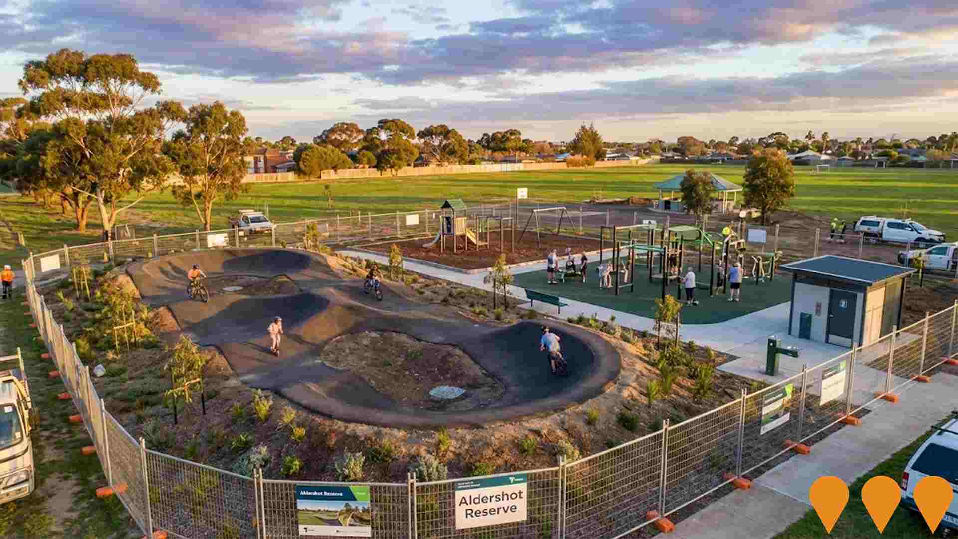
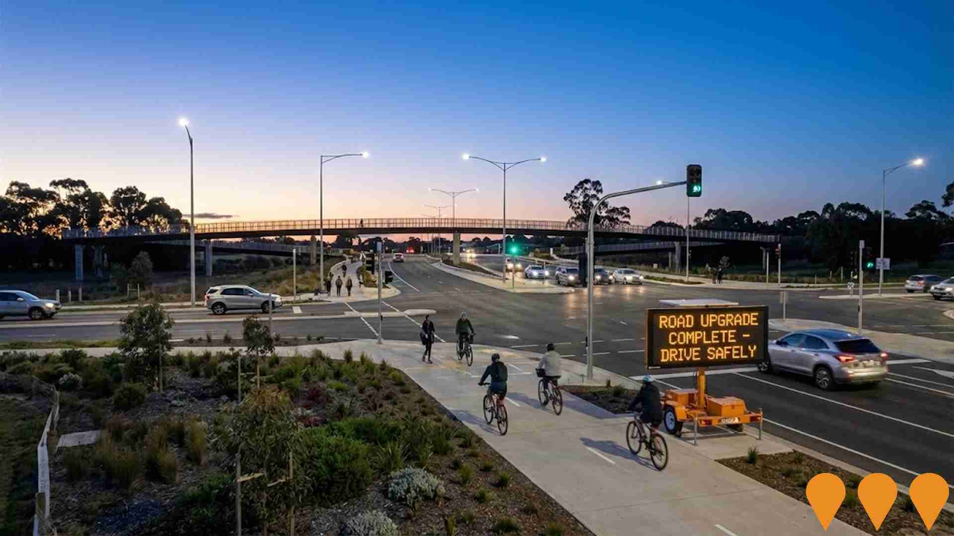
Changes to local infrastructure significantly impact an area's performance. AreaSearch has identified 30 projects likely affecting the region. Notable initiatives include Whittington Family and Community Hub, Aldershot Reserve Improvements, Geelong Ring Road Extension (Bellarine Link), Moolap Coastal Strategic Framework Plan. The following list details those most relevant.
Professional plan users can use the search below to filter and access additional projects.
INFRASTRUCTURE SEARCH
 Denotes AI-based impression for illustrative purposes only, not to be taken as definitive under any circumstances. Please follow links and conduct other investigations from the project's source for actual imagery. Developers and project owners wishing us to use original imagery please Contact Us and we will do so.
Frequently Asked Questions - Infrastructure
Geelong Line Upgrade (Geelong Fast Rail)
Major upgrade of the Melbourne - Geelong - Warrnambool rail corridor to enable faster, more frequent and reliable services. Key works include track duplication, signalling upgrades, level crossing removals and station improvements to achieve 50-60 minute journeys from Geelong to Melbourne by the early 2030s, with further stages targeting sub-one-hour travel times.
Barwon Women's and Children's Hospital
The Barwon Women's and Children's Hospital is a $708 million dedicated women's and children's facility being built within the University Hospital Geelong precinct. Delivered by the Victorian Health Building Authority in partnership with Barwon Health, the new hospital will include expanded maternity services, neonatal intensive care, paediatric inpatient units, birthing suites, special care nursery, women's health clinics and additional operating theatres. Construction by Built Pty Ltd began in February 2025 and is progressing on schedule for completion in late 2029.
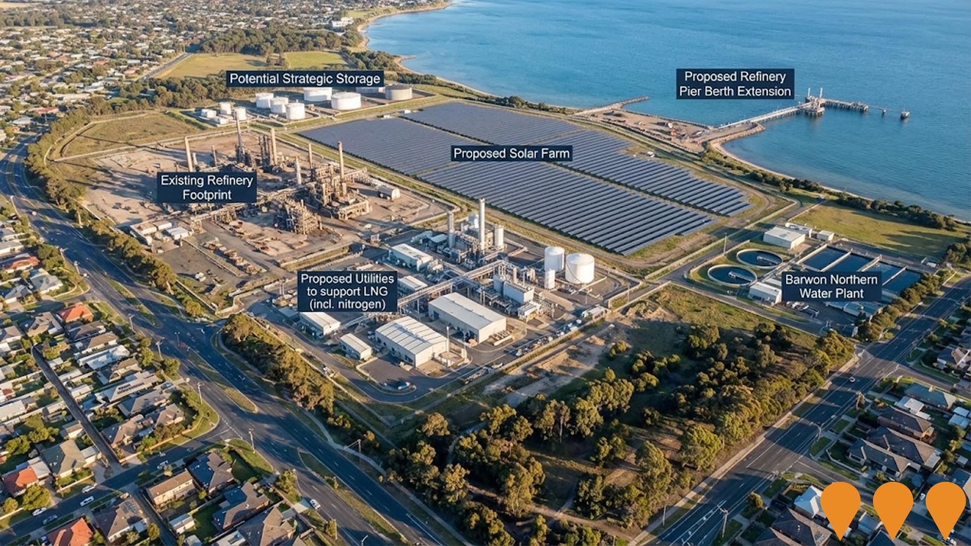
Geelong Renewable Energy Zone (Point Henry Precinct)
One of six declared Renewable Energy Zones in Victoria, the Geelong REZ focuses on the former Alcoa Point Henry site and surrounding industrial land at Moolap. It supports large-scale renewable generation (solar, offshore wind connection, battery storage) and green energy manufacturing including potential green hydrogen and aluminium production.
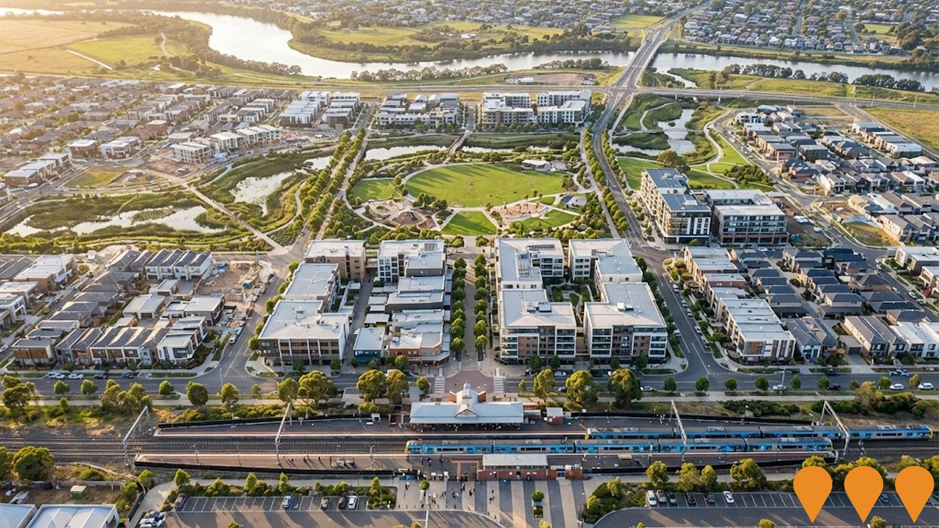
Marshall Precinct Structure Plan
City of Greater Geelong Precinct Structure Plan for a new transit-oriented residential and mixed-use neighbourhood around Marshall Railway Station in the Armstrong Creek growth area. The approved PSP covers approximately 124 hectares and will deliver around 1,555 dwellings (approximately 4,000 residents), local town centre, employment land, community facilities, schools, extensive open space, wetlands and active transport links.
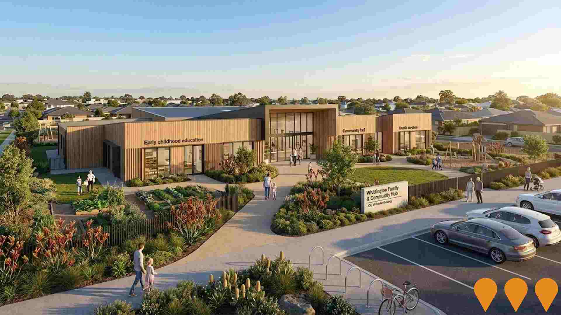
Whittington Family and Community Hub
A proposed multi-purpose community hub at Whittington Link to replace aging facilities and integrate early childhood education, maternal and child health services, neighbourhood house programs (Bellarine Living and Learning Centre), youth spaces, adult education, and community activities. The project is currently at the planning report stage with no funding yet allocated for further planning or construction.
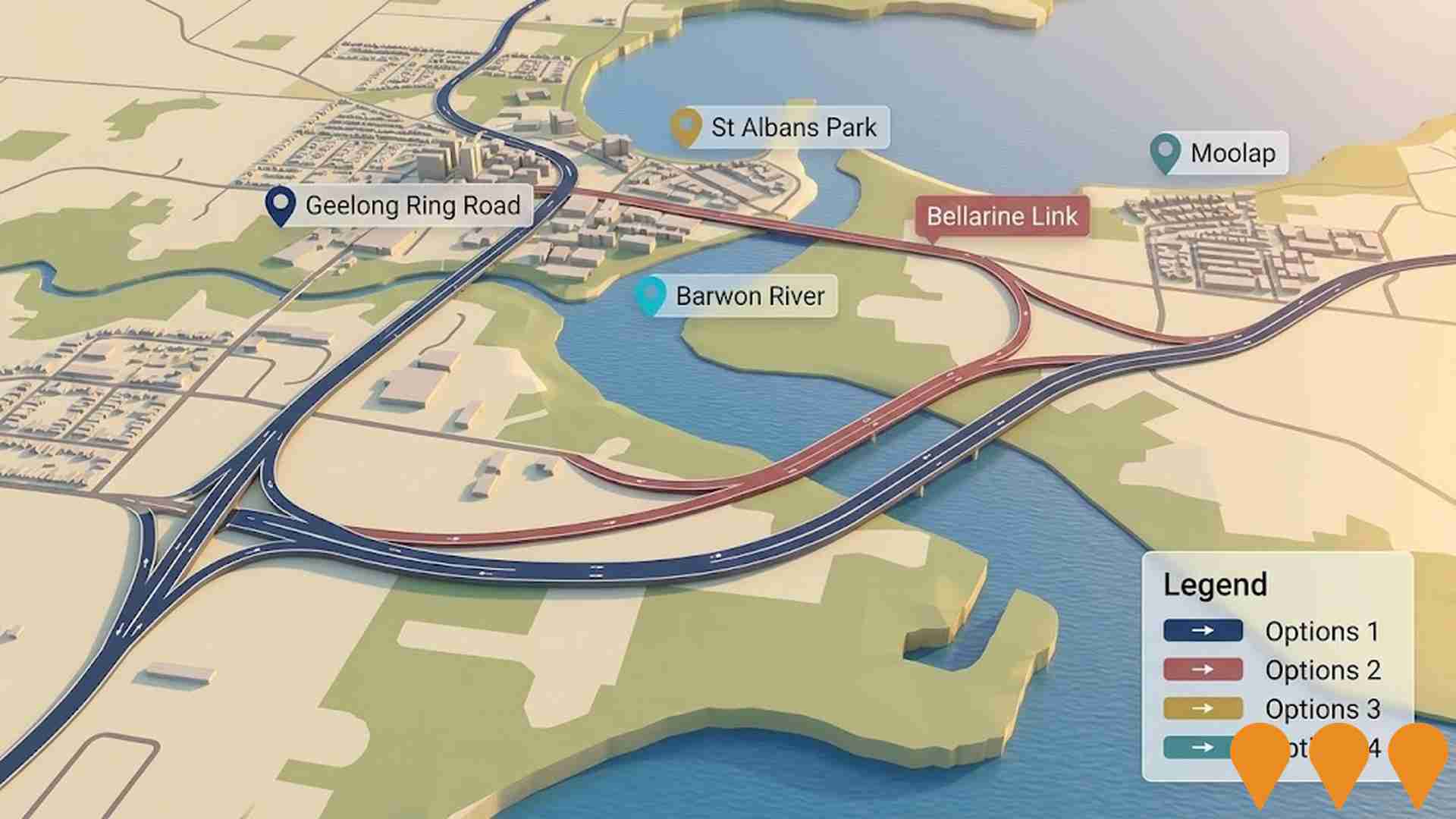
Geelong Ring Road Extension (Bellarine Link)
A proposed extension of the Geelong Ring Road to improve connectivity between Geelong and the Bellarine Peninsula. The project aims to reduce traffic congestion and improve freight access to GeelongPort and industrial areas while supporting regional economic growth. Planned extension between Baanip Boulevard (Surf Coast Highway) and Barwon Heads Road with comprehensive planning including traffic modelling, social studies and environmental investigations.
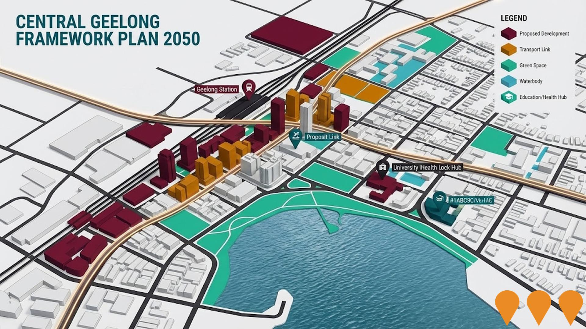
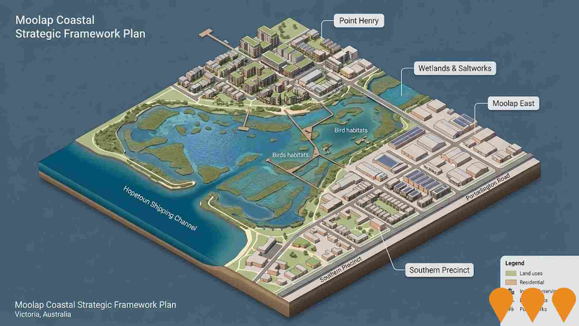
Moolap Coastal Strategic Framework Plan
Victorian Government framework guiding renewal and land use change across northern Moolap including Point Henry and the former saltworks. DEECA is leading the Environmental Management Masterplan for the Wetlands and Former Saltworks Precinct with planning underway 2024-2026, following community consultation in Jan-Mar 2025 and release of an engagement summary in Apr 2025.
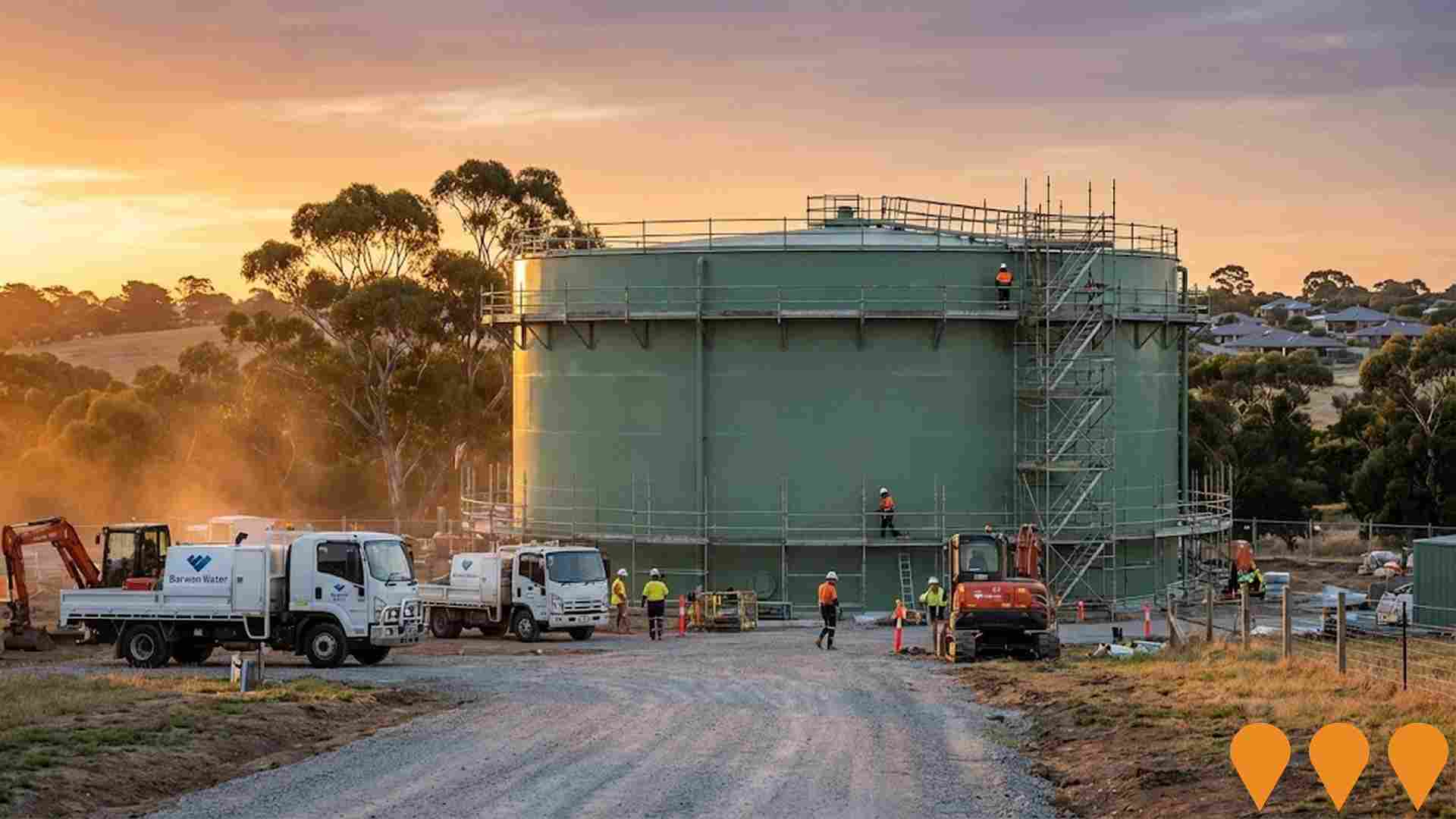
Clifton Springs Water Tank Renewal
Renewal of Barwon Water's largest potable water tank, a 32ML steel storage in Drysdale, to ensure supply security for Clifton Springs and surrounding areas.
Employment
Employment conditions in Newcomb - Moolap face significant challenges, ranking among the bottom 10% of areas assessed nationally
Newcomb-Moolap has an unemployment rate of 8.1% as of September 2025, with 7,011 residents employed. This is 4.4% higher than the Rest of Vic.'s rate of 3.8%.
The workforce participation rate is lower at 53.0%, compared to Rest of Vic.'s 57.4%. Key industries for employment among residents are health care & social assistance, retail trade, and construction. Retail trade is particularly specialized with an employment share of 1.3 times the regional level. Agriculture, forestry & fishing is under-represented at 0.8%, compared to Rest of Vic.'s 7.5%.
The area may offer limited local employment opportunities, as indicated by Census data. Between September 2024 and September 2025, the labour force decreased by 0.6% and employment declined by 0.9%, causing unemployment to rise by 0.3 percentage points. State-level data from 25-Nov shows VIC employment grew by 1.13% year-on-year, with a state unemployment rate of 4.7%. National forecasts suggest employment should increase by 6.6% over five years and 13.5% over ten years in Newcomb-Moolap, based on industry-specific projections.
Frequently Asked Questions - Employment
Income
Income figures position the area below 75% of locations analysed nationally by AreaSearch
The Newcomb - Moolap SA2 had a median taxpayer income of $49,274 and an average income of $58,180 in the financial year 2022. This was lower than the national average, with Rest of Vic. reporting a median income of $48,741 and an average income of $60,693. By September 2025, adjusted for Wage Price Index growth of 12.16%, estimated incomes would be approximately $55,266 (median) and $65,255 (average). Census data indicates that household, family, and personal incomes in Newcomb - Moolap fall between the 10th and 15th percentiles nationally. Income distribution shows 28.1% of the population earning within the $800 - $1,499 range, unlike surrounding regions where the $1,500 - $2,999 range dominates at 30.3%. Housing affordability is severe, with only 82.8% of income remaining, ranking at the 11th percentile.
Frequently Asked Questions - Income
Housing
Newcomb - Moolap is characterized by a predominantly suburban housing profile, with above-average rates of outright home ownership
In Newcomb-Moolap, as per the latest Census evaluation, 86.6% of dwellings were houses while 13.4% comprised semi-detached homes, apartments and other types. This compares to Non-Metro Vic.'s 84.6% houses and 15.4% other dwellings. Home ownership in Newcomb-Moolap stood at 34.9%, with mortgaged properties at 30.4% and rented ones at 34.7%. The median monthly mortgage repayment was $1,367, lower than Non-Metro Vic.'s average of $1,712. Median weekly rent in the area was $300, compared to Non-Metro Vic.'s $335. Nationally, Newcomb-Moolap's median mortgage repayments were significantly lower at $1,863 and rents were substantially below the national average of $375.
Frequently Asked Questions - Housing
Household Composition
Newcomb - Moolap features high concentrations of lone person households, with a lower-than-average median household size
Family households account for 61.5% of all households, including 19.5% couples with children, 26.5% couples without children, and 14.2% single parent families. Non-family households constitute the remaining 38.5%, with lone person households at 34.7% and group households comprising 3.7%. The median household size is 2.2 people, which is smaller than the Rest of Vic. average of 2.4.
Frequently Asked Questions - Households
Local Schools & Education
Educational outcomes in Newcomb - Moolap fall within the lower quartile nationally, indicating opportunities for improvement in qualification attainment
The area's university qualification rate is 15.5%, significantly lower than Victoria's average of 33.4%. Bachelor degrees are the most common at 10.7%, followed by postgraduate qualifications (2.9%) and graduate diplomas (1.9%). Vocational credentials are prominent, with 39.9% of residents aged 15 and above holding them - advanced diplomas at 10.2% and certificates at 29.7%. Educational participation is high, with 25.6% of residents currently enrolled in formal education.
This includes 8.3% in primary education, 7.1% in secondary education, and 3.6% pursuing tertiary education.
Frequently Asked Questions - Education
Schools Detail
Nearby Services & Amenities
Transport
Transport servicing is moderate compared to other areas nationally based on assessment of service frequency, route connectivity and accessibility
Transport analysis indicates 118 active public transport stops operating within Newcomb - Moolap, with a mix of bus services. These stops are served by 7 individual routes, collectively facilitating 1,280 weekly passenger trips. Transport accessibility is rated as excellent, with residents typically located 193 meters from the nearest stop.
Service frequency averages 182 trips per day across all routes, equating to approximately 10 weekly trips per stop.
Frequently Asked Questions - Transport
Transport Stops Detail
Health
Health performance in Newcomb - Moolap is a key challenge with a range of health conditions having marked impacts on both younger and older age cohorts
Newcomb-Moolap faces significant health challenges, with various conditions affecting both younger and older residents. Approximately 49% (~7,442 people) have private health cover, lower than the Rest of Vic's 52.7% and the national average of 55.3%. Mental health issues and arthritis are the most common conditions, impacting 11.9% and 10.4% of residents respectively.
However, 56.5% claim to be free from medical ailments, compared to Rest of Vic's 65.9%. The area has a higher proportion of seniors aged 65 and over at 24.8% (3,780 people), compared to Rest of Vic's 16.8%. Health outcomes among seniors present challenges broadly in line with the general population's health profile.
Frequently Asked Questions - Health
Cultural Diversity
Newcomb - Moolap ranks below the Australian average when compared to other local markets across a number of language and cultural background related metrics
Newcomb-Moolap, surveyed in June-August 2016, had a low cultural diversity index of 59.8%. Its population was predominantly Australian-born citizens speaking English at home: 87.7%, 84.6%, and 91.4% respectively. Christianity was the dominant religion (47.1%), with Islam slightly overrepresented at 1.3% compared to Victoria's average of 2.0%.
The top three ancestry groups were English (30.4%), Australian (28.9%), and Irish (8.8%). Notable ethnic group divergences included Dutch (overrepresented at 2.2%) and Italian (slightly overrepresented at 3.7%), while Croatian was underrepresented at 0.6%.
Frequently Asked Questions - Diversity
Age
Newcomb - Moolap hosts a notably older demographic compared to the national average
Newcomb-Moolap's median age of 44 years is similar to Rest of Vic.'s 43 and above the national average of 38. Compared to Rest of Vic., Newcomb-Moolap has a higher percentage of residents aged 25-34 (16.6%) but fewer aged 5-14 (8.6%). Between the 2016 and 2021 censuses, the 25-34 age group grew from 14.0% to 16.6%, while the 45-54 cohort declined from 12.1% to 10.7%. By 2041, Newcomb-Moolap's age composition is expected to change significantly. The 25-34 group is projected to grow by 40%, reaching 3,530 from 2,518. Meanwhile, the 75-84 and 15-24 cohorts are expected to decrease in population.
