Chart Color Schemes
This analysis uses ABS Statistical Areas Level 2 (SA2) boundaries, which can materially differ from Suburbs and Localities (SAL) even when sharing similar names.
SA2 boundaries are defined by the Australian Bureau of Statistics and are designed to represent communities for statistical reporting (e.g., census and ERP).
Suburbs and Localities (SAL) represent commonly-used suburb/locality names (postal-style areas) and may use different geographic boundaries. For comprehensive analysis, consider reviewing both boundary types if available.
est. as @ -- *
ABS ERP | -- people | --
2021 Census | -- people
Sales Activity
Curious about local property values? Filter the chart to assess the volume and appreciation (including resales) trends and regional comparisons, or scroll to the map below view this information at an individual property level.
Find a Recent Sale
Sales Detail
Population
An assessment of population growth drivers in Maryborough Surrounds reveals an overall ranking slightly below national averages considering recent, and medium term trends
Maryborough Surrounds' population is approximately 5,765 as of November 2025. This figure shows an increase of 239 people, representing a 4.3% rise since the 2021 Census, which recorded a population of 5,526. The growth is inferred from ABS' estimated resident population of 5,713 in June 2024 and an additional 49 validated new addresses post-census. This results in a population density of 3.5 persons per square kilometer. Maryborough Surrounds' growth rate of 4.3% since the census is within 1.7 percentage points of the non-metro area's 6.0%, indicating strong fundamentals for growth. Interstate migration contributed approximately 87.1% of overall population gains during recent periods.
AreaSearch uses ABS/Geoscience Australia projections released in 2024, with a base year of 2022, for each SA2 area. For areas not covered by this data, AreaSearch employs VIC State Government's Regional/LGA projections from 2023, adjusted using weighted aggregation methods. Growth rates by age group are applied across all areas for years 2032 to 2041. Future projections indicate a decline in overall population by 180 persons by 2041. However, specific age cohorts like the 25 to 34 group are expected to grow, with an anticipated increase of 111 people.
Frequently Asked Questions - Population
Development
AreaSearch analysis of residential development drivers sees Maryborough Surrounds recording a relatively average level of approval activity when compared to local markets analysed countrywide
Maryborough Surrounds has seen approximately 24 new homes approved annually. Over the past five financial years, from FY-21 to FY-25, around 123 homes were approved, with an additional four approved in FY-26 so far. On average, each dwelling has attracted about 2.5 new residents per year over these five years, indicating robust demand that may help sustain property values.
The average construction cost of these new homes is approximately $342,000. This financial year has seen around $15.0 million in commercial approvals, suggesting steady commercial investment activity in the area. Compared to the Rest of Vic., Maryborough Surrounds shows 14.0% lower construction activity per capita and ranks among the 52nd percentile nationally when assessed by areas.
Recent development has been exclusively detached houses, preserving the area's traditional low-density character and appealing to those seeking space for families. With around 300 people per dwelling approval, Maryborough Surrounds exhibits characteristics of a low-density area. Given that population is expected to remain stable or decline, there may be reduced pressure on housing in the area, potentially presenting opportunities for buyers.
Frequently Asked Questions - Development
Infrastructure
Maryborough Surrounds has limited levels of nearby infrastructure activity, ranking in the 0thth percentile nationally
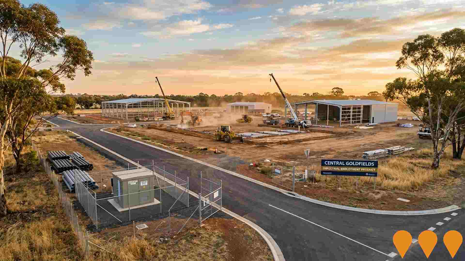
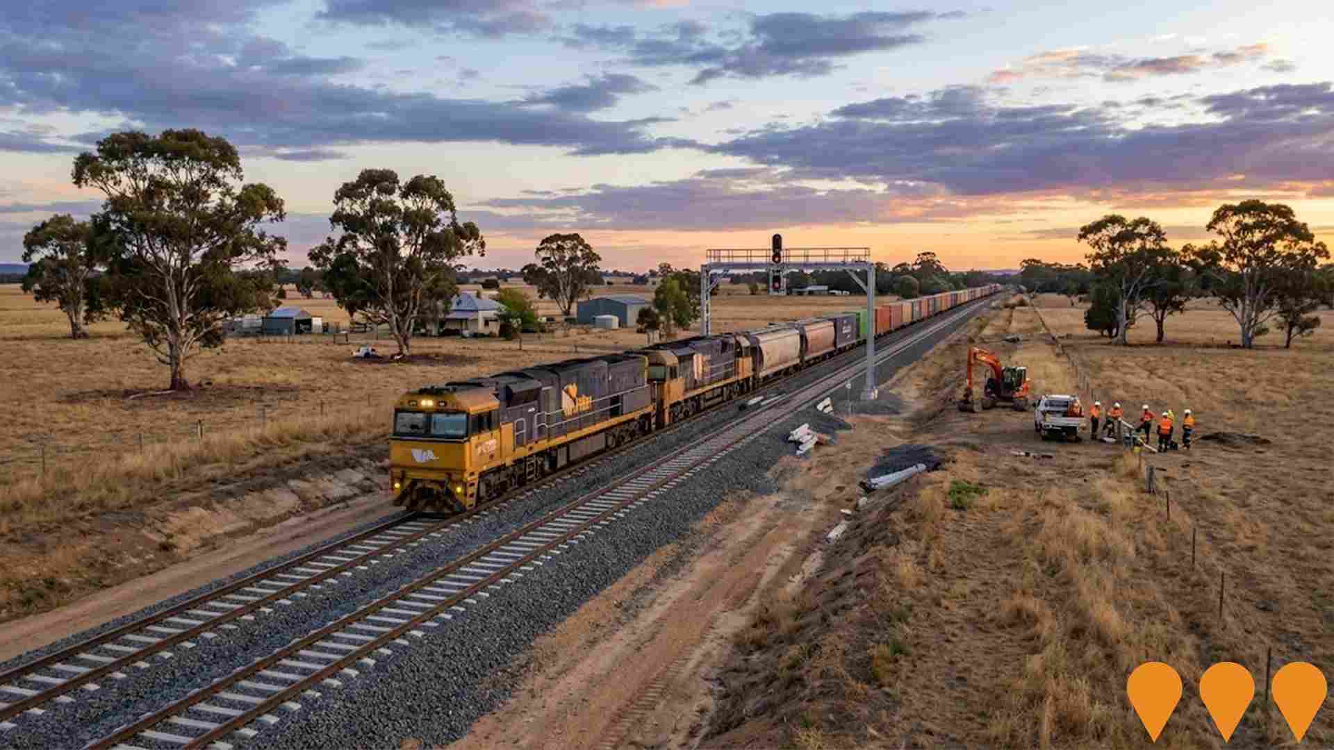
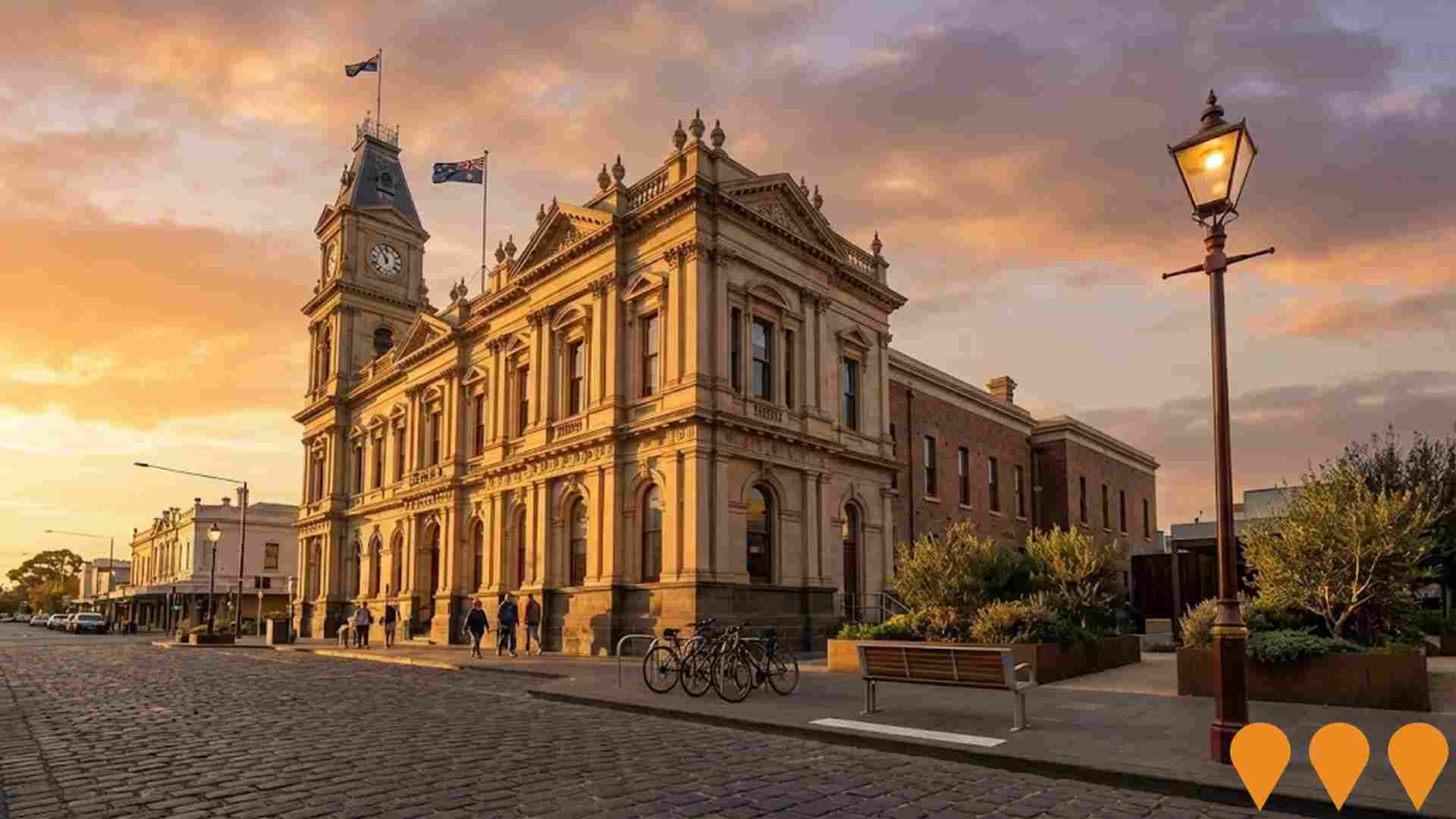
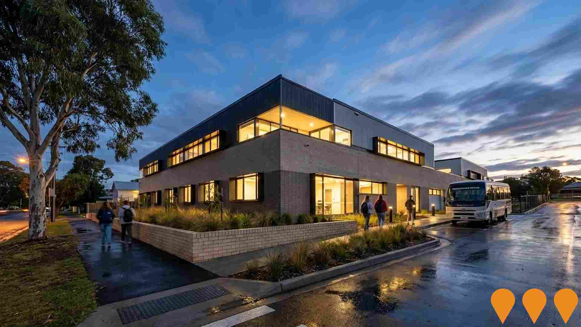
Changes to local infrastructure significantly impact an area's performance. AreaSearch identified 17 projects likely affecting the region. Notable ones are Maryborough and District Hospital Redevelopment, Central Goldfields Land Use Planning Framework, Maryborough Central Activity District (MCAD), and Deledio Recreation Reserve Pavilion (Dunolly Football Netball Club). The following list details those most relevant.
Professional plan users can use the search below to filter and access additional projects.
INFRASTRUCTURE SEARCH
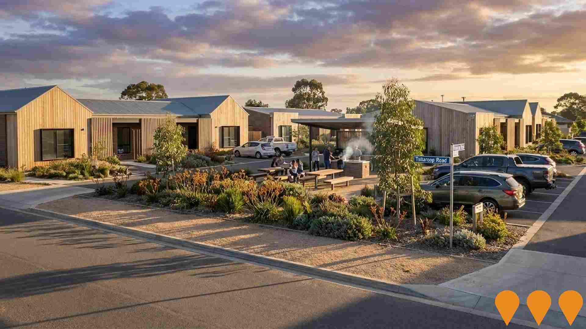
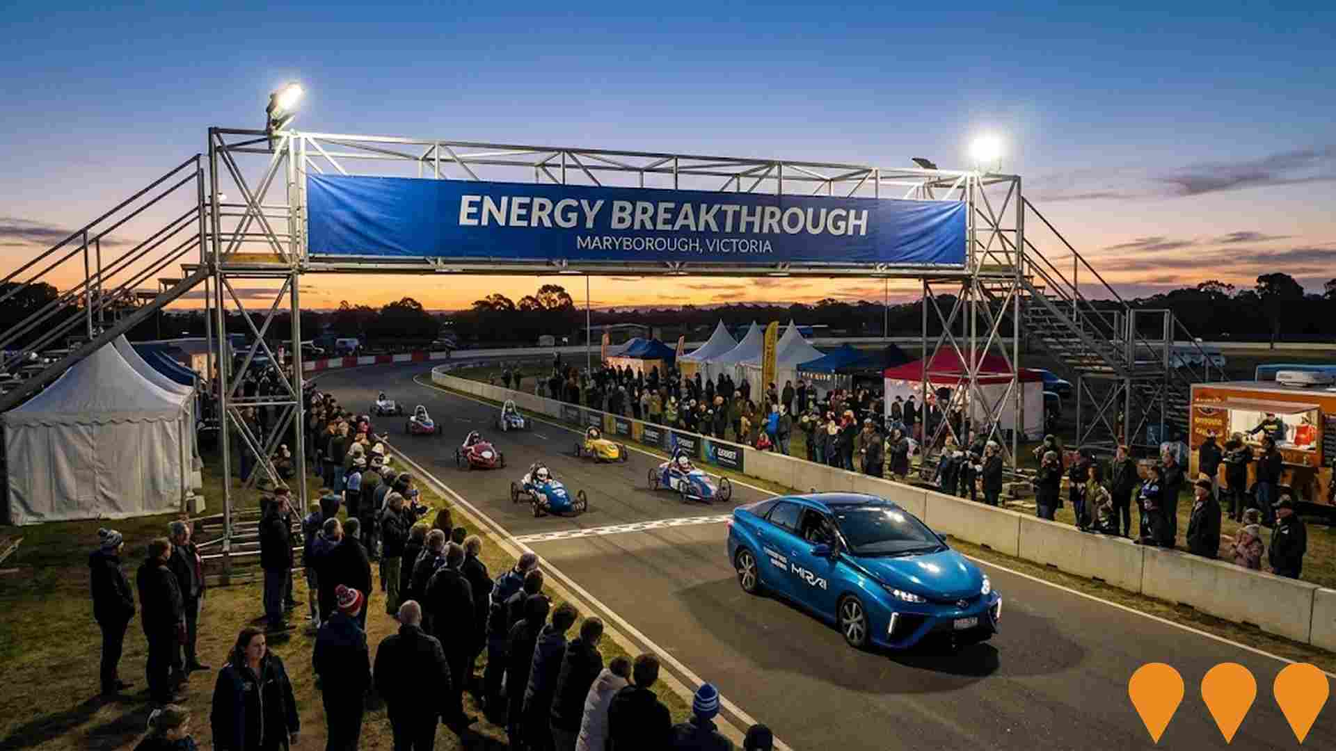
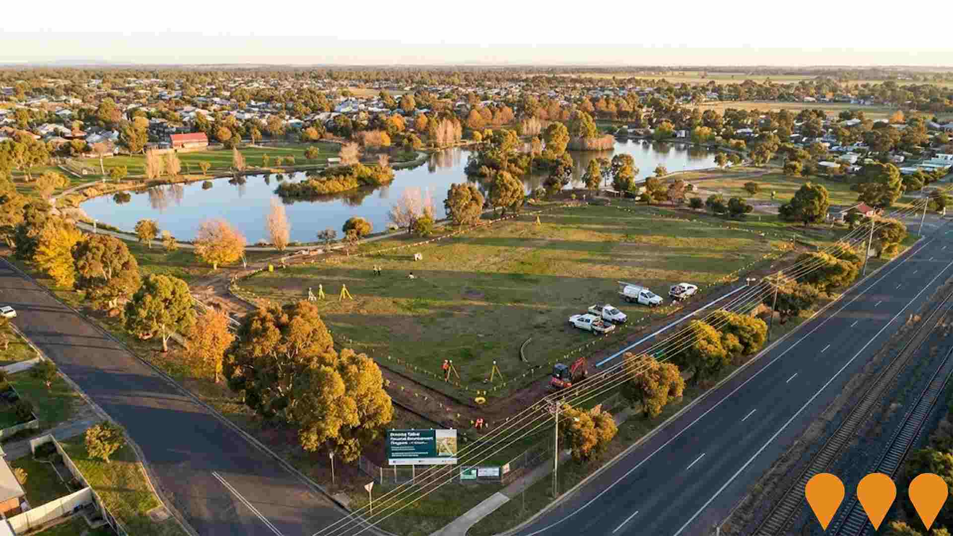
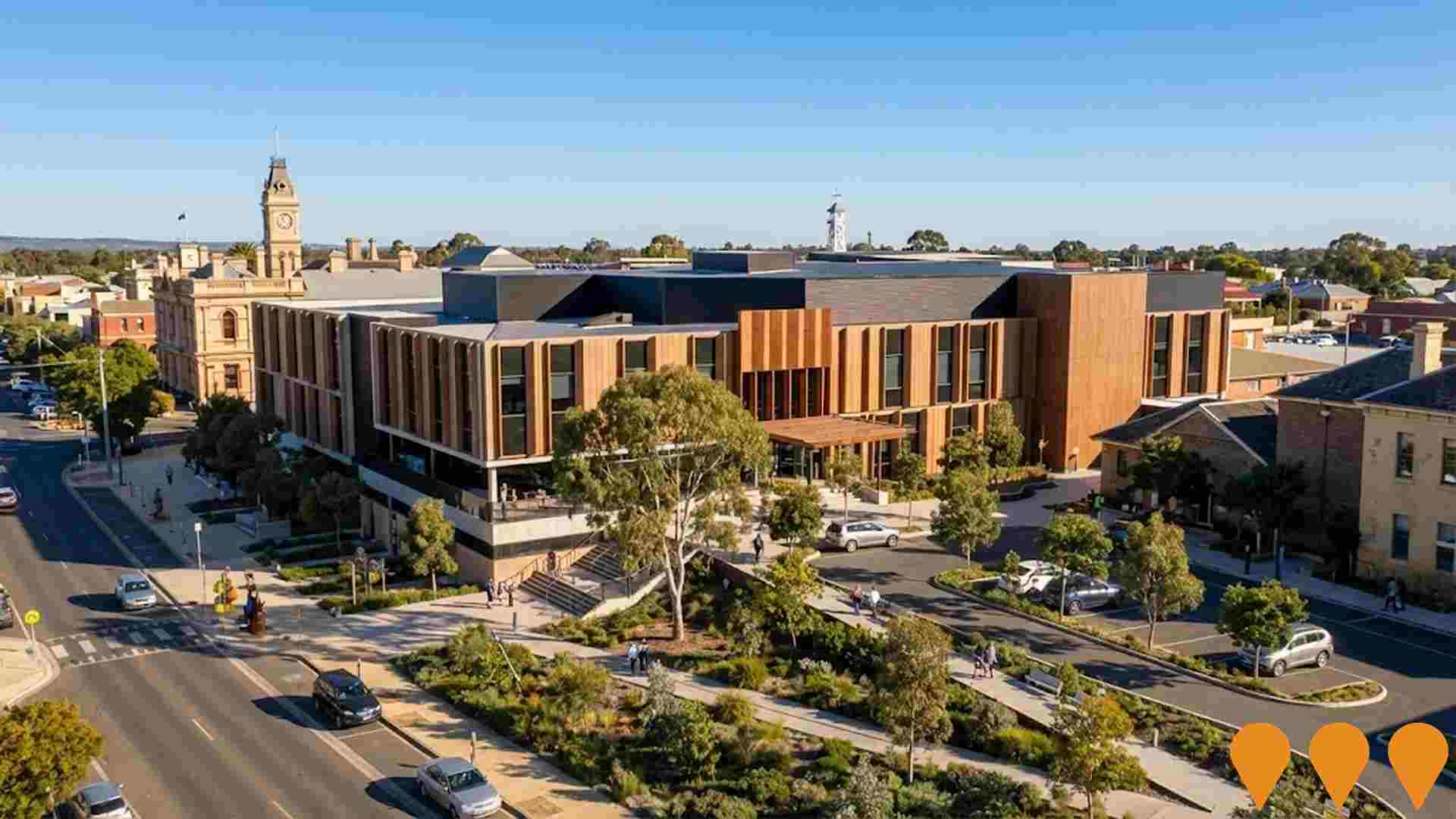
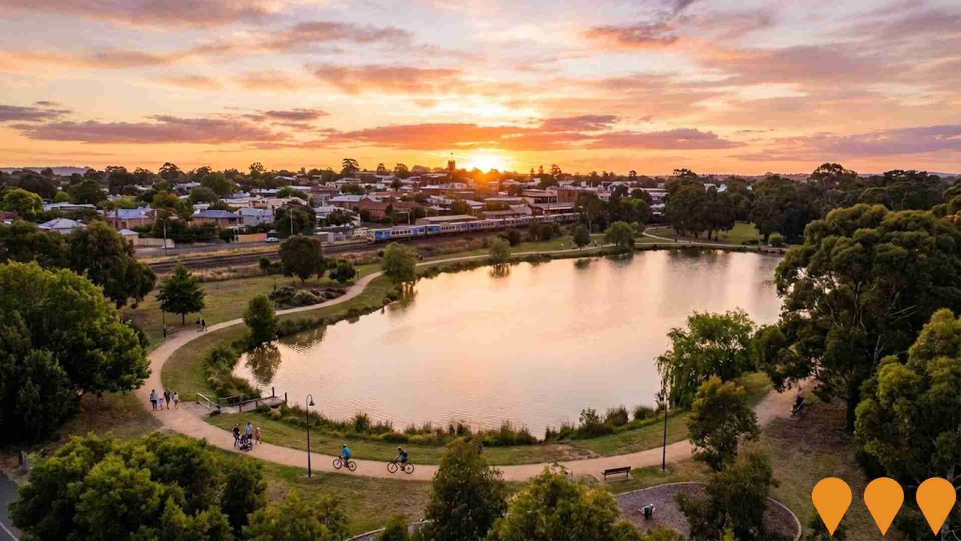
 Denotes AI-based impression for illustrative purposes only, not to be taken as definitive under any circumstances. Please follow links and conduct other investigations from the project's source for actual imagery. Developers and project owners wishing us to use original imagery please Contact Us and we will do so.
Frequently Asked Questions - Infrastructure
Maryborough and District Hospital Redevelopment
A $115 million redevelopment delivering a new urgent care centre, 32-bed inpatient unit, two operating theatres, and maternity unit. The new hospital tower opened in April 2025, with final external works, including the demolition of the old urgent care centre and new forecourt landscaping, scheduled for completion by late 2025.
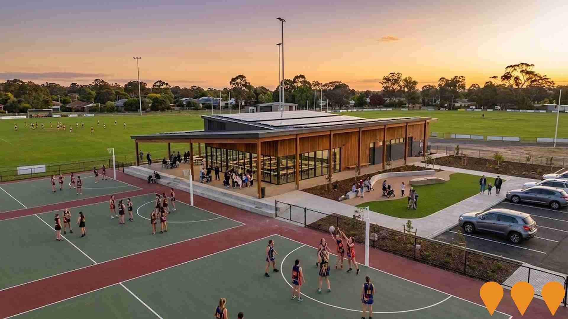
Deledio Recreation Reserve Pavilion (Dunolly Football Netball Club)
Upgrade of the Deledio Recreation Reserve pavilion to deliver modern, accessible community sport facilities for the Dunolly Football Netball Club and other users. Scope includes female-friendly player and umpire change rooms, public amenities, first aid and trainers rooms, storage, kitchen/kiosk, offices, undercover community space, rainwater harvesting and solar. Funding confirmed includes $1.5m Federal (Growing Regions Program) and $1.0m Victorian Government (Regional Community Sports and Infrastructure Program). Complements new netball and multi-use courts completed in 2024 (~$970k). Council is leading design with the Deledio Pavilion Reference Group.
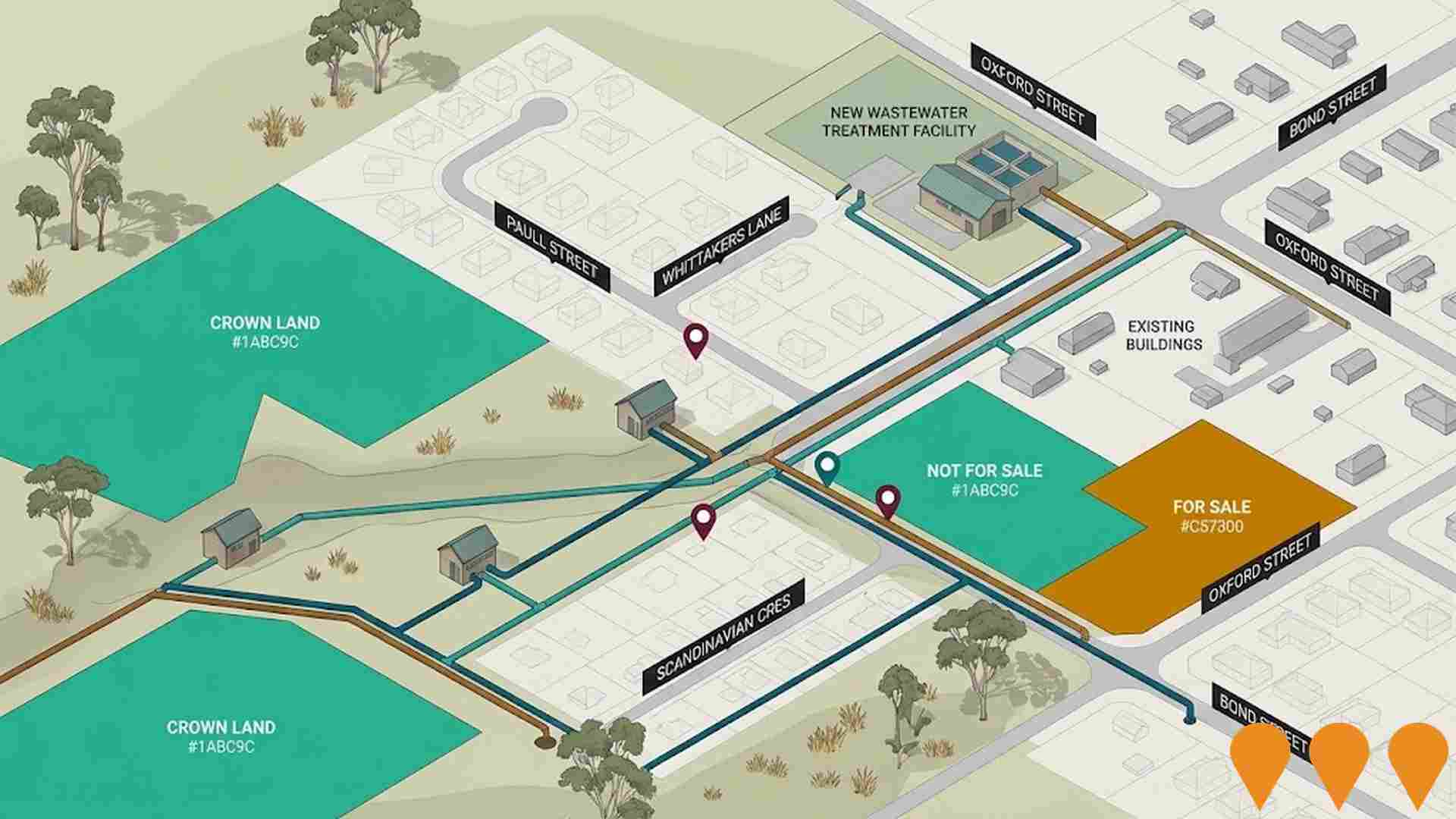
Talbot Futures Sewerage System
Implementation of a reticulated sewerage system to enable population growth, housing development, and address environmental issues in unsewered areas of Talbot, supporting sustainable growth in the region.
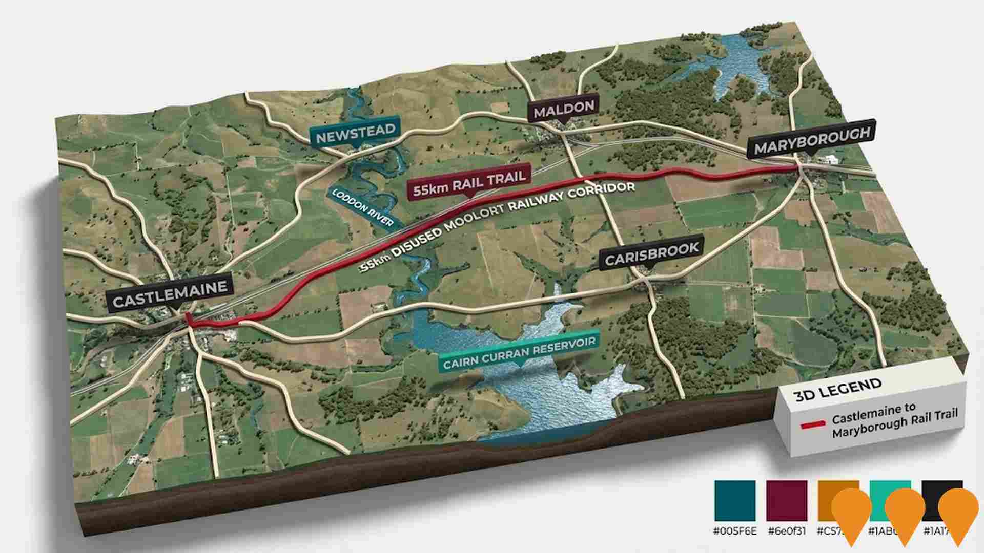
Castlemaine Maryborough Rail Trail
A proposed 55km rail trail linking the goldfields towns of Castlemaine and Maryborough, following the disused Moolort railway line. The project is in the pre-construction phase after completing the feasibility study in 2023, with funding secured for detailed planning and design to achieve shovel-ready status by January 2026. It aims to promote cycling, walking, horse-riding, and tourism through scenic landscapes including volcanic plains, the Loddon River, Cairn Curran Reservoir, and wetlands.
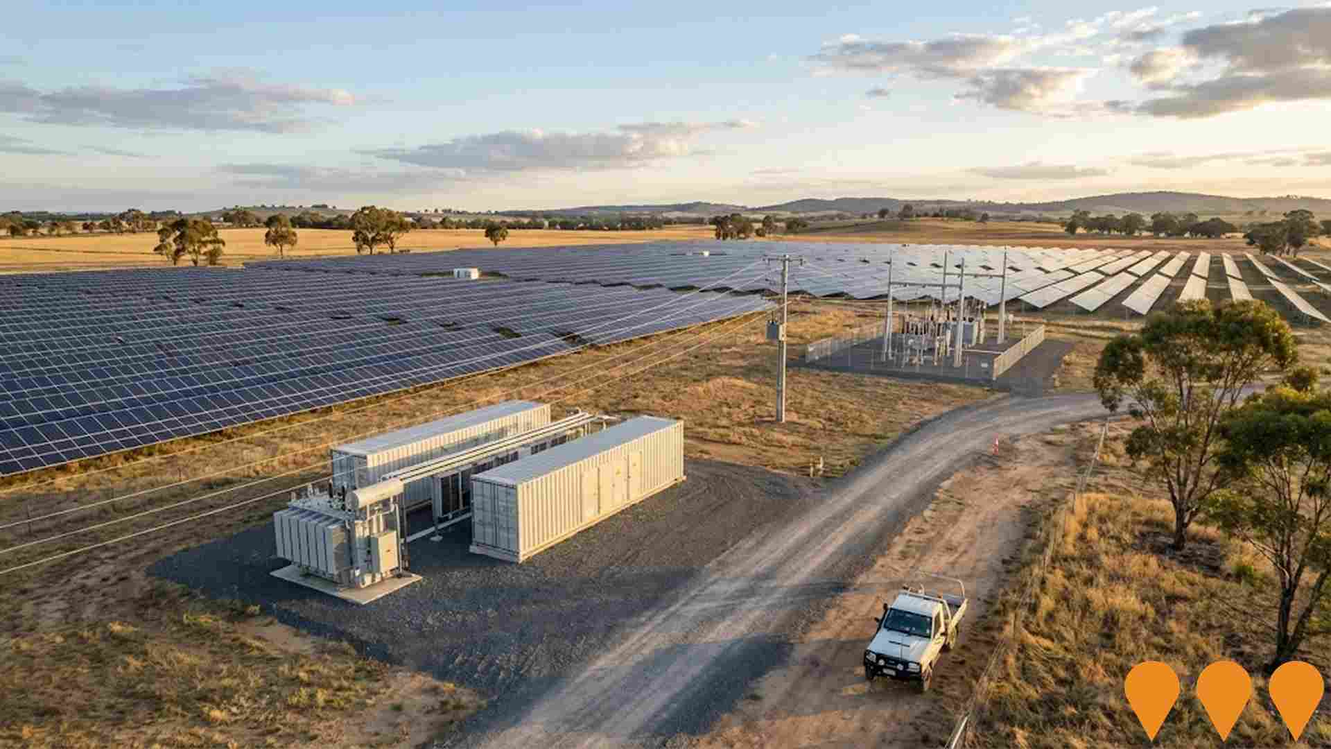
Carisbrook Solar Farm
Proposed 200MW solar photovoltaic energy generation facility on approximately 400 hectares of agricultural land near Carisbrook. The project includes solar panels, inverters, transformers, and grid connection infrastructure. Expected to generate clean energy for approximately 75,000 homes annually.
Central Goldfields Land Use Planning Framework
Strategic planning project to identify areas for growth in Central Goldfields Shire to meet future housing and industrial needs. Community consultation has identified preferences for preserving rural lifestyle while supporting controlled development with appropriate infrastructure. Planning includes Maryborough, Carisbrook, and surrounding townships.
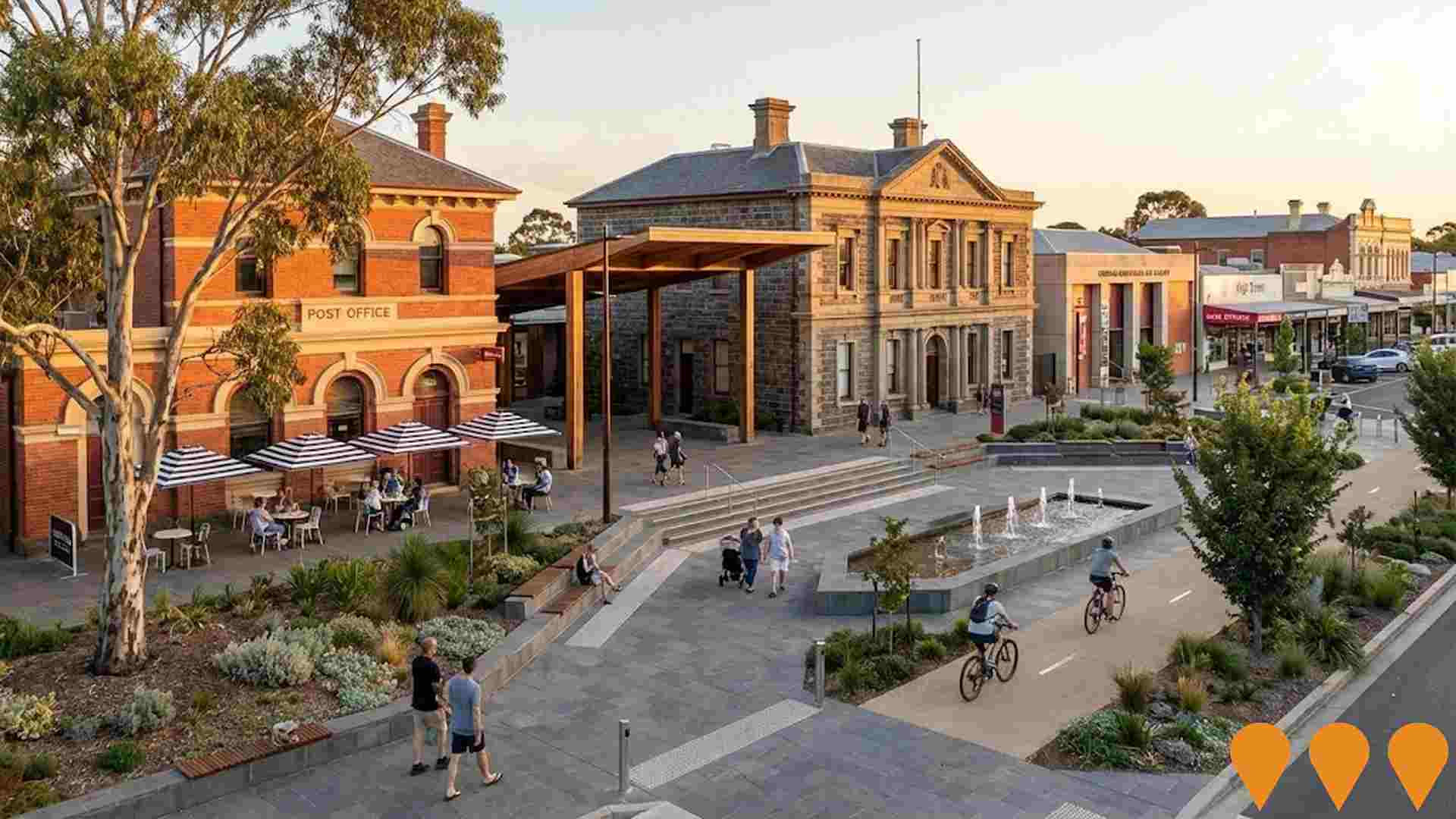
Maryborough Central Activity District (MCAD)
The Maryborough Central Activity District (MCAD) involves significant public sector investment to revitalize key civic anchor sites in Central Maryborough. It aims to leverage these projects to drive public realm improvements, support affordable town-centre housing, and stimulate private sector investment in retail, tourism, hospitality, and services sectors. The project includes re-imagining spaces like the Post Office, courthouse, and Town Hall as a civic square or open plaza, integrating urban infrastructure treatments to enhance walkability and connect key areas such as the Central Goldfields Art Gallery, High Street retail area, and the redeveloped Hospital precinct.
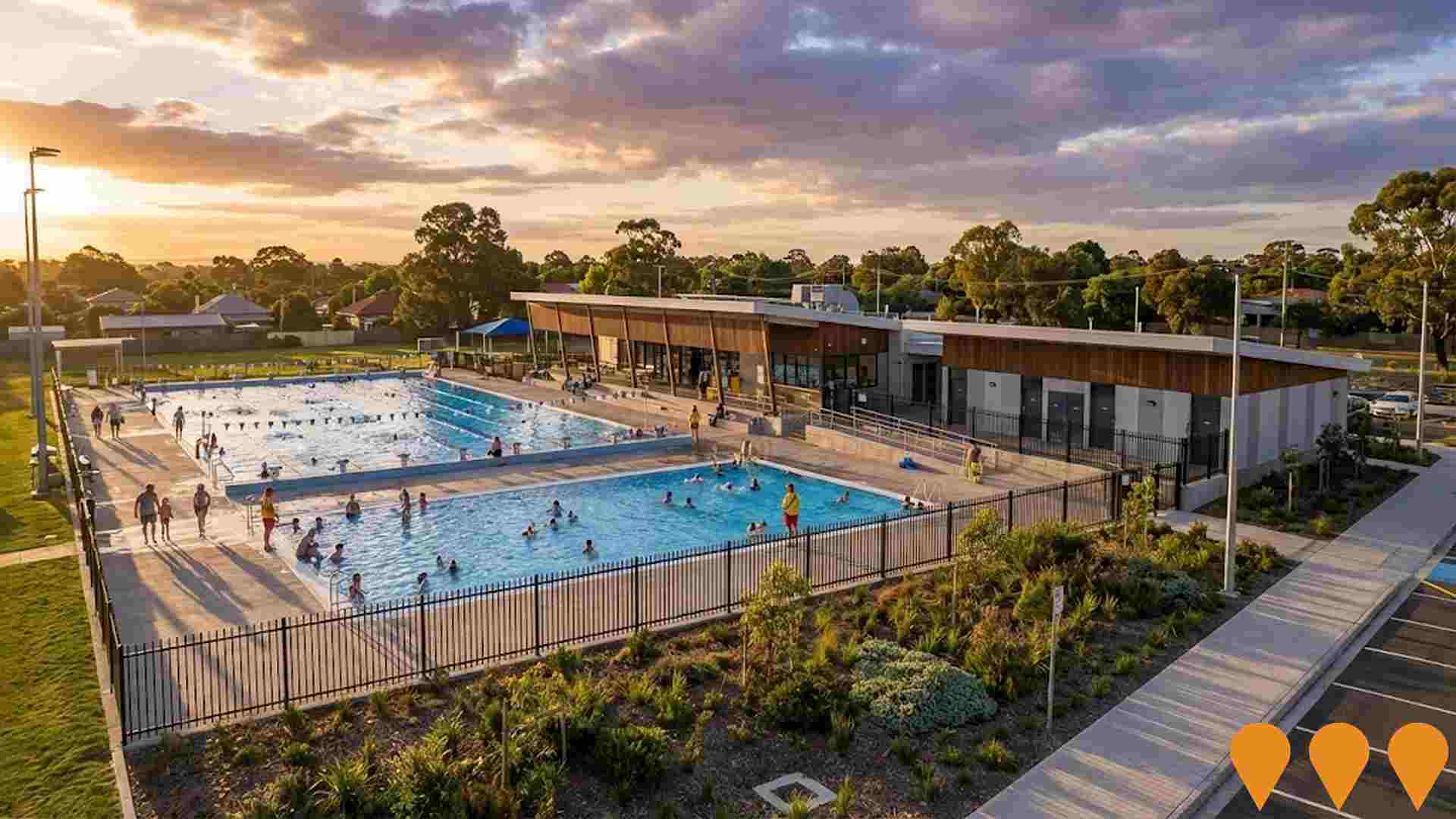
Maryborough Municipal Olympic Swimming Pool Upgrade
Renovation and rebuilding of the heritage-listed Maryborough Olympic Outdoor Pool Complex. Stage One includes full renovation of the intermediate/learn to swim pool with new filtration system, balance tank, tiling, shell repairs, disability access ramp; upgrade to pavilion for new compliant entry, kiosk, car parking, footpaths, ramps, landscaping; new standalone change room building with family change rooms and accessibility; plant room repairs; upgrades to existing change rooms; and site services upgrades. Stage Two includes demolition and rebuild of the 50-metre pool, new concourse, filtration system, balance tank, and connecting footpaths.
Employment
The labour market performance in Maryborough Surrounds lags significantly behind most other regions nationally
Maryborough Surrounds has a balanced workforce with both white and blue collar jobs. The manufacturing and industrial sectors are prominent, with an unemployment rate of 7.4% as of September 2025.
This is 3.6% higher than the Rest of Vic.'s rate of 3.8%. Employment growth over the past year was estimated at 1.8%. There are 2,235 residents in work, but workforce participation lags significantly at 44.1%, compared to Rest of Vic.'s 57.4%. The leading employment industries among residents are health care & social assistance, manufacturing, and agriculture, forestry & fishing.
Manufacturing is particularly strong, with an employment share of 1.6 times the regional level. However, construction employs only 6.6% of local workers, below Rest of Vic.'s 10.4%. The area appears to offer limited local employment opportunities, as indicated by Census data. Over the 12 months to September 2025, employment increased by 1.8%, while labour force increased by 1.6%, causing the unemployment rate to fall by 0.2 percentage points. In contrast, Rest of Vic. saw employment contract by 0.7% and unemployment rise marginally. State-level data to 25-Nov shows VIC employment grew by 1.13% year-on-year, with the state unemployment rate at 4.7%, compared to the national rate of 4.3%. Jobs and Skills Australia's national employment forecasts from May-25 suggest Maryborough Surrounds' employment should increase by 5.4% over five years and 12.2% over ten years, based on industry-specific projections applied to the local employment mix.
Frequently Asked Questions - Employment
Income
Income metrics place the area in the bottom 10% of locations nationally according to AreaSearch analysis
The Maryborough Surrounds SA2 had a median taxpayer income of $40,557 and an average income of $48,744 in the financial year 2022, according to postcode level ATO data aggregated by AreaSearch. This is below the national average for Victoria, which was $48,741 median and $60,693 average. By September 2025, estimates based on a 12.16% Wage Price Index growth suggest median income would be approximately $45,489 and average income $54,671. Census data indicates that incomes in Maryborough Surrounds fall between the 2nd and 3rd percentiles nationally for households, families, and individuals. The $400 - 799 earnings band includes 31.8% of the community (1,833 individuals), unlike regional levels where the $1,500 - 2,999 band dominates at 30.3%. A significant portion of the community faces economic challenges with 42.4% in sub-$800 weekly brackets. Despite modest housing costs allowing for 89.2% income retention, total disposable income ranks at just the 5th percentile nationally.
Frequently Asked Questions - Income
Housing
Maryborough Surrounds is characterized by a predominantly suburban housing profile, with above-average rates of outright home ownership
Maryborough Surrounds' dwellings, as per the latest Census, were 96.0% houses and 4.0% other types (semi-detached, apartments, 'other'). Non-Metro Vic had 93.8% houses and 6.2% others. Home ownership in Maryborough Surrounds was 55.6%, with mortgaged dwellings at 34.0% and rented at 10.4%. The median monthly mortgage repayment was $1,046, below Non-Metro Vic's average of $1,127. Median weekly rent in Maryborough Surrounds was $200, compared to Non-Metro Vic's $230. Nationally, mortgage repayments were significantly lower at $1,863 and rents substantially below the national figure of $375.
Frequently Asked Questions - Housing
Household Composition
Maryborough Surrounds features high concentrations of lone person households, with a fairly typical median household size
Family households account for 63.9% of all households, including 20.8% couples with children, 31.6% couples without children, and 10.2% single parent families. Non-family households constitute the remaining 36.1%, with lone person households at 34.0% and group households comprising 2.4% of the total. The median household size is 2.2 people, which aligns with the average for the Rest of Vic.
Frequently Asked Questions - Households
Local Schools & Education
Maryborough Surrounds faces educational challenges, with performance metrics placing it in the bottom quartile of areas assessed nationally
The area's university qualification rate is 12.4%, significantly lower than Victoria's average of 33.4%. Bachelor degrees are the most common at 8.9%, followed by graduate diplomas (1.8%) and postgraduate qualifications (1.7%). Vocational credentials are prevalent, with 42.1% of residents aged 15+ holding them - advanced diplomas at 9.8% and certificates at 32.3%. Educational participation is high, with 25.8% currently enrolled in formal education: 10.8% in primary, 8.0% in secondary, and 1.9% in tertiary education.
Educational participation is notably high, with 25.8% of residents currently enrolled in formal education. This includes 10.8% in primary education, 8.0% in secondary education, and 1.9% pursuing tertiary education.
Frequently Asked Questions - Education
Schools Detail
Nearby Services & Amenities
Transport
Transport servicing is very low compared to other areas nationally based on assessment of service frequency, route connectivity and accessibility
Transport analysis shows 14 active stops operating within Maryborough Surrounds. These include both train and bus services. There are 16 individual routes servicing these stops, providing a total of 140 weekly passenger trips.
Transport accessibility is rated as limited, with residents typically located 1695 meters from the nearest stop. Service frequency averages 20 trips per day across all routes, equating to approximately 10 weekly trips per individual stop.
Frequently Asked Questions - Transport
Transport Stops Detail
Health
Health performance in Maryborough Surrounds is a key challenge with a range of health conditions having marked impacts on both younger and older age cohorts
Maryborough Surrounds faces significant health challenges with various conditions affecting both younger and older residents. Approximately 46% (~2,646 people) have private health cover, lower than the national average of 55.3%.
The most prevalent medical conditions are arthritis (13.6%) and mental health issues (10.3%). Conversely, 55.4% report no medical ailments, compared to 56.8% in Rest of Vic.. The area has a higher proportion of seniors aged 65 and over at 29.8% (1,719 people), compared to 27.9% in Rest of Vic.. Despite this, health outcomes among seniors are challenging but perform better than the general population in certain metrics.
Frequently Asked Questions - Health
Cultural Diversity
Maryborough Surrounds is considerably less culturally diverse than average when assessed alongside AreaSearch's national rankings for language and cultural background related metrics
Maryborough Surrounds had a lower cultural diversity, with 88.1% citizens, 88.7% born in Australia, and 97.3% speaking English only at home. Christianity was the predominant religion, comprising 47.0%. Judaism was overrepresented at 0.1%, compared to 0.1% regionally.
The top three ancestry groups were English (35.4%), Australian (31.3%), and Scottish (9.8%). Hungarian (0.4%) was notably overrepresented, as were Dutch (1.7%) and Irish (9.3%), compared to regional percentages of 0.3%, 1.6%, and 9.2% respectively.
Frequently Asked Questions - Diversity
Age
Maryborough Surrounds ranks among the oldest 10% of areas nationwide
Maryborough Surrounds has a median age of 53, which is higher than the Rest of Vic.'s figure of 43 and substantially exceeds the national norm of 38. Compared to Rest of Vic., Maryborough Surrounds has a higher concentration of residents aged 55-64 (18.5%) but fewer residents aged 25-34 (7.3%). This 55-64 concentration is well above the national figure of 11.2%. Between the 2021 Census and present, the population aged 15 to 24 has grown from 8.6% to 9.5%, while the 45 to 54 cohort has declined from 13.6% to 11.6%. By 2041, demographic projections indicate significant shifts in Maryborough Surrounds's age structure. The 25 to 34 group is expected to grow by 25%, reaching 528 people from the current 423. Meanwhile, the 45 to 54 and 5 to 14 cohorts are projected to experience population declines.
