Chart Color Schemes
This analysis uses ABS Statistical Areas Level 2 (SA2) boundaries, which can materially differ from Suburbs and Localities (SAL) even when sharing similar names.
SA2 boundaries are defined by the Australian Bureau of Statistics and are designed to represent communities for statistical reporting (e.g., census and ERP).
Suburbs and Localities (SAL) represent commonly-used suburb/locality names (postal-style areas) and may use different geographic boundaries. For comprehensive analysis, consider reviewing both boundary types if available.
est. as @ -- *
ABS ERP | -- people | --
2021 Census | -- people
Sales Activity
Curious about local property values? Filter the chart to assess the volume and appreciation (including resales) trends and regional comparisons, or scroll to the map below view this information at an individual property level.
Find a Recent Sale
Sales Detail
Population
Port Macquarie Surrounds is positioned among the lower quartile of areas assessed nationally for population growth based on AreaSearch's assessment of recent, and medium term trends
Port Macquarie Surrounds' population, as of Nov 2025, is approximately 5,391 people. This figure represents an increase of 90 individuals since the 2021 Census, which recorded a population of 5,301. The growth is inferred from ABS's estimated resident population of 5,296 in June 2024 and 91 validated new addresses post-Census date. This results in a density ratio of 1.9 persons per square kilometer. Overseas migration contributed predominantly to recent population gains, accounting for approximately 77.3%.
AreaSearch uses ABS/Geoscience Australia projections for SA2 areas released in 2024 with a base year of 2022. For uncovered SA2 areas, NSW State Government's SA2 level projections from 2022 with a base year of 2021 are utilized. Age group growth rates from these aggregations are applied to all areas for years 2032 to 2041. By 2041, the population is expected to increase by approximately 261 persons, reflecting a total gain of around 3.1% over the 17-year period.
Frequently Asked Questions - Population
Development
AreaSearch assessment of residential development drivers sees a low level of activity in Port Macquarie Surrounds, placing the area among the bottom 25% of areas assessed nationally
Port Macquarie Surrounds has recorded approximately 15 residential properties granted approval per year. Over the past five financial years, from FY21 to FY25, 76 homes were approved, with an additional 13 approved so far in FY26. Despite a declining population in recent years, development activity has been adequate relative to other areas, which is positive for buyers.
The average construction cost value of new properties is $408,000, slightly above the regional average, indicating a focus on quality developments. In terms of commercial development, approvals worth $572,000 have been recorded this financial year, suggesting minimal activity in this sector. When compared to the Rest of NSW, Port Macquarie Surrounds has significantly less development activity, 64.0% below the regional average per person. This scarcity of new homes typically strengthens demand and prices for existing properties. Nationally, development activity is also lower than the national average, reflecting market maturity and possible development constraints.
Recent building activity consists entirely of detached houses, preserving the area's low density nature. The estimated population to dwelling approval ratio is 376 people per dwelling, reflecting its quiet, low activity development environment. Looking ahead, Port Macquarie Surrounds is expected to grow by 166 residents through to 2041, according to the latest AreaSearch quarterly estimate. Based on current development patterns, new housing supply should readily meet demand, offering good conditions for buyers and potentially facilitating population growth beyond current projections.
Frequently Asked Questions - Development
Infrastructure
Port Macquarie Surrounds has emerging levels of nearby infrastructure activity, ranking in the 23rdth percentile nationally
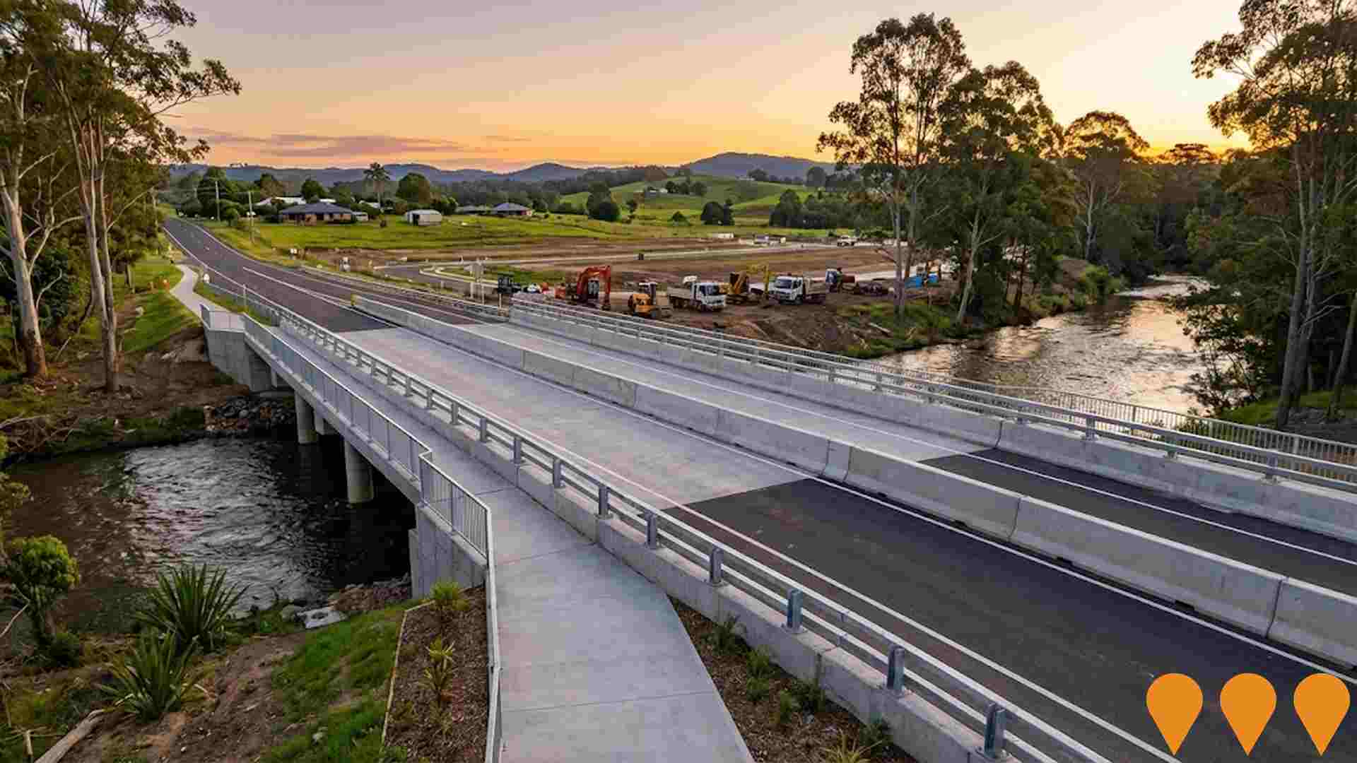
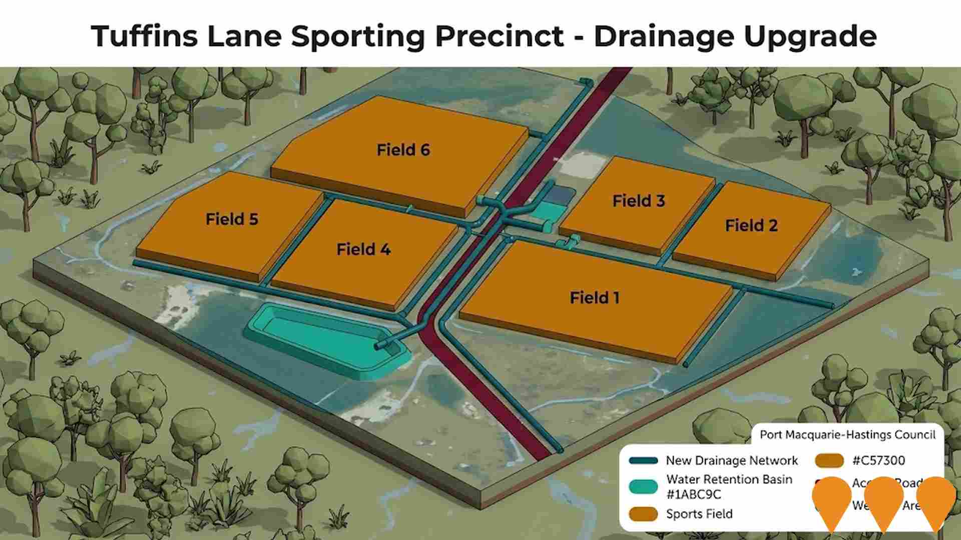
Changes to local infrastructure significantly impact an area's performance. AreaSearch has identified 36 projects likely affecting the region. Notable initiatives include Beechwood Road Upgrade Stage 6 incorporating Steels Bridge Wauchope, The Sanctuary Port Macquarie, Sovereign Hills Master Planned Community, and Thrumster Business Park. Relevant projects are detailed below.
Professional plan users can use the search below to filter and access additional projects.
INFRASTRUCTURE SEARCH
 Denotes AI-based impression for illustrative purposes only, not to be taken as definitive under any circumstances. Please follow links and conduct other investigations from the project's source for actual imagery. Developers and project owners wishing us to use original imagery please Contact Us and we will do so.
Frequently Asked Questions - Infrastructure
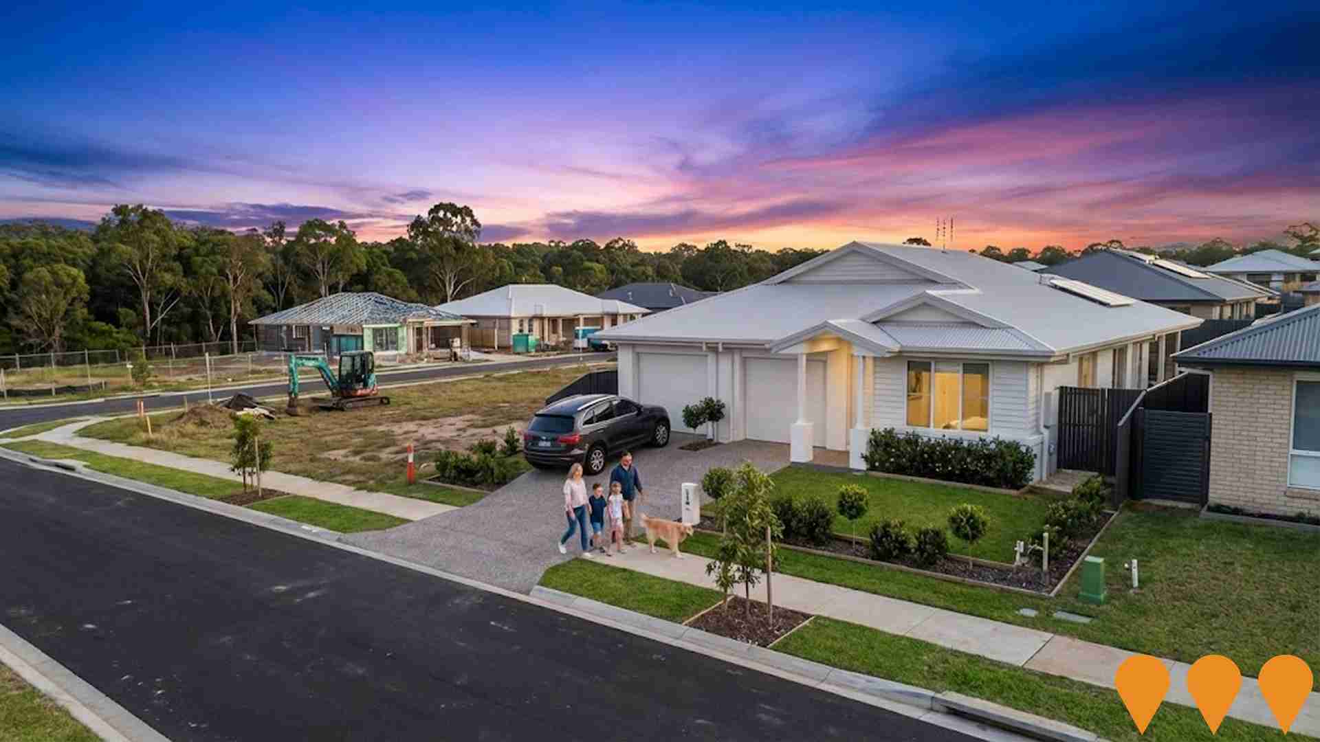
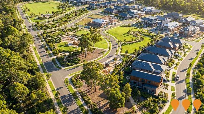
Sovereign Hills Master Planned Community
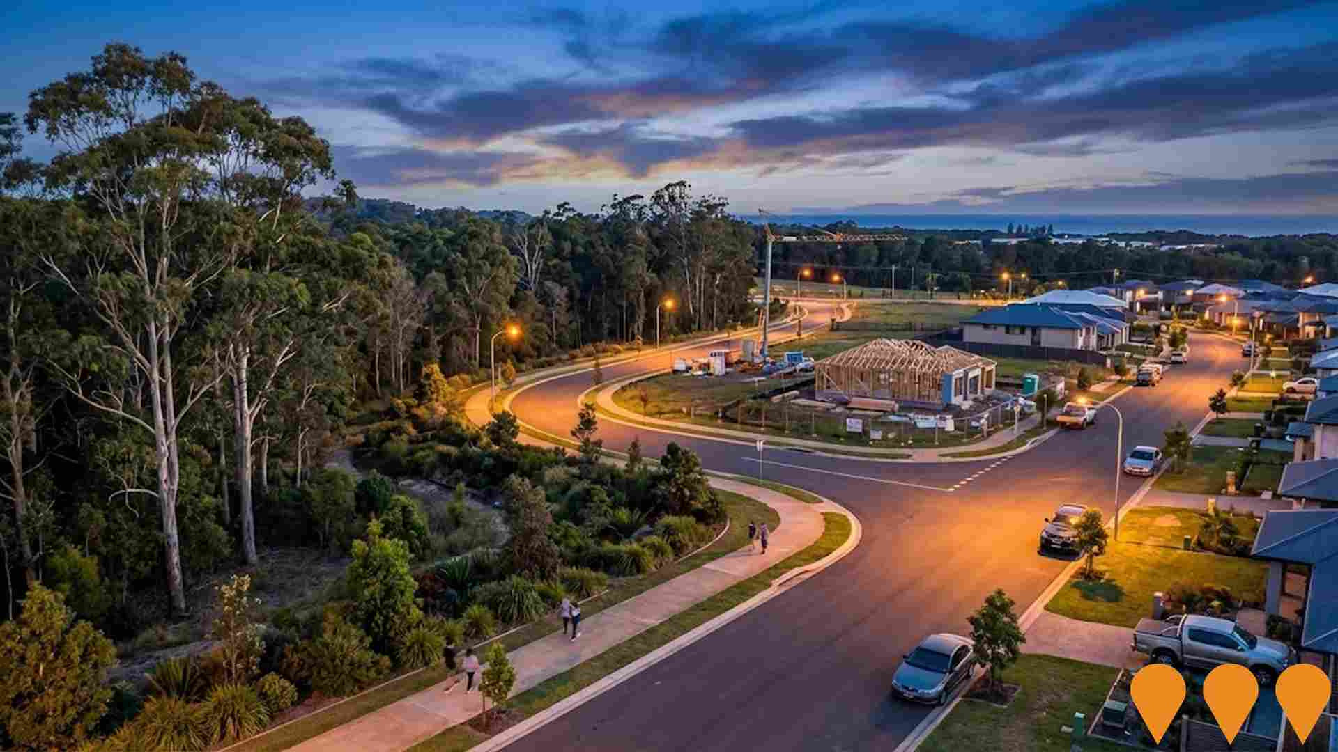
A $1 billion+ premier master-planned community by Lewis Land Group in Thrumster, Port Macquarie. Up to 2,000 home lots (over 1,100 sold/built as of 2025), growing Sovereign Place Town Centre ($500m+ vision including retail, business & technology park, health & wellbeing precinct, entertainment areas), schools, childcare, extensive parks and recreational facilities. Expected to support a population of 7,000-8,000 residents.
Port Macquarie Base Hospital Redevelopment Stage 2
The $265 million Stage 2 redevelopment of Port Macquarie Base Hospital delivers expanded Emergency Department, new inpatient unit including maternity and paediatric services, upgraded operating theatres, new medical imaging department and expanded ambulatory care services. Construction commenced in late 2025 following appointment of ADCO Constructions as head contractor.

Port Macquarie Aquatic Facility
Major regional aquatic facility at Macquarie Park. Development Application approved by Northern Regional Planning Panel in November 2024. Features include a 50m outdoor pool, 25m pool with transparent roof, 20m indoor pool, gym, splash pad, and 170 parking spaces. Stage 1 and 2 valued at $67 million. Federal funding application for $13.6m was declined in January 2025; Council is pursuing alternative funding strategies.

Ocean Drive Duplication
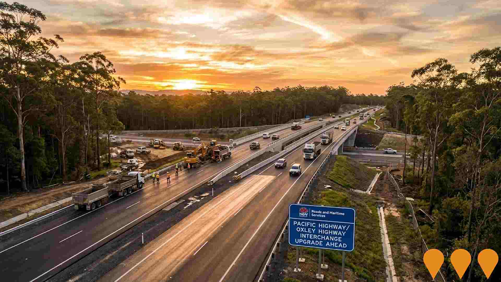
Major infrastructure project to duplicate 3.4km of Ocean Drive from two lanes to four divided travel lanes between Green Meadows Drive (South) and Matthew Flinders Drive/Emerald Drive. The $111 million project is in its final stages as of late 2025, with asphalting, line marking, and traffic signal commissioning underway. Key features include the upgrade of five intersections, shared user paths, on-road cycle lanes, koala exclusion fencing, fauna underpasses, and a new water trunk main. Construction is managed by Ditchfield Contracting and is on track for practical completion by late 2025, significantly improving traffic flow and safety for the region's motorists.

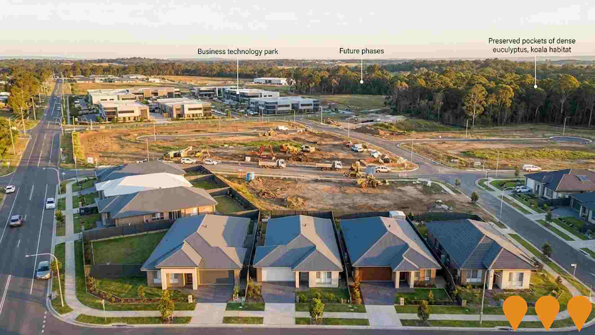
Thrumster Business Park
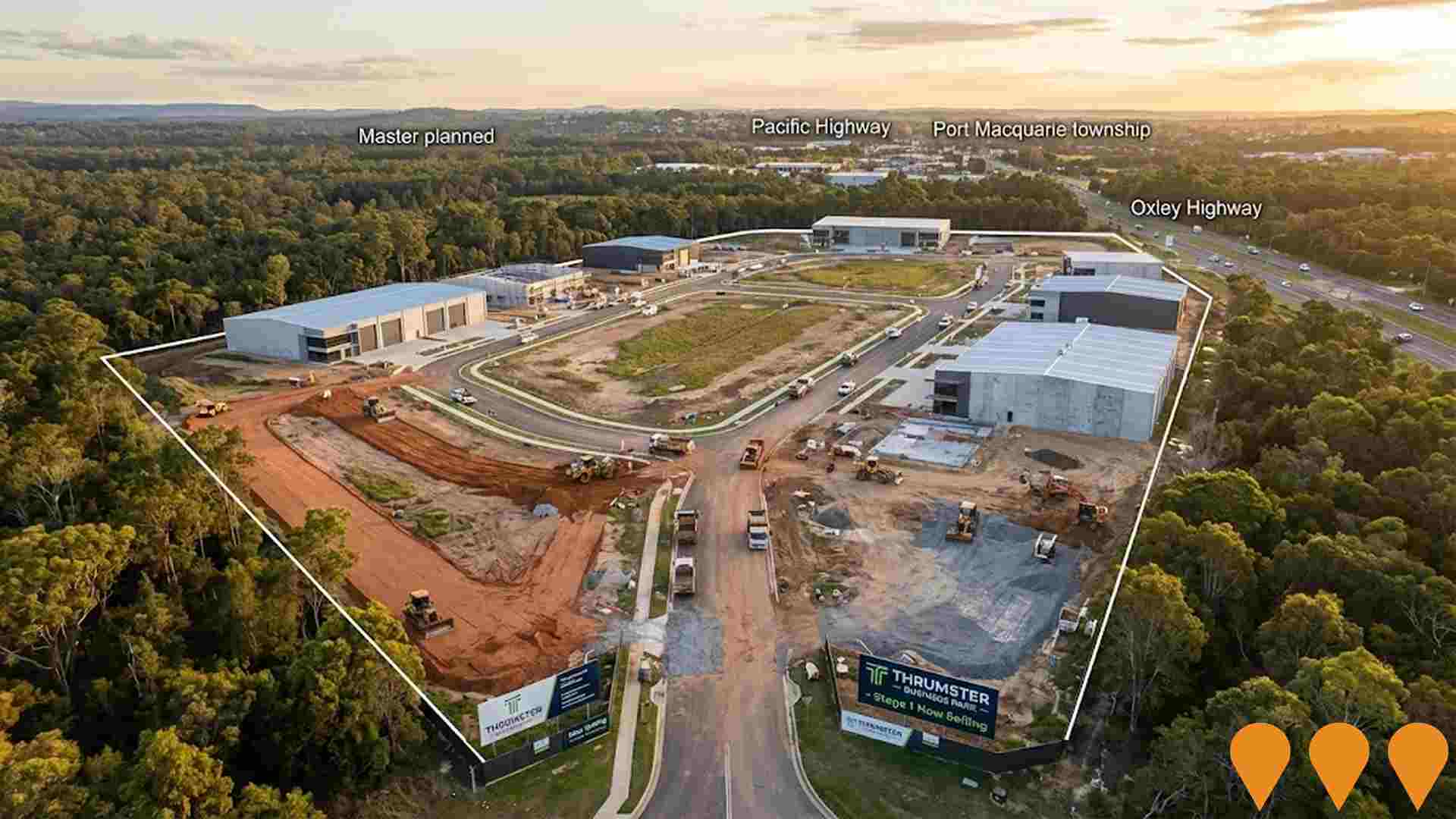
Port Macquarie's first master-planned, eco-friendly industrial business park. The project offers over 60 fully serviced lots from 1,200 to 4,800 sqm across two precincts: one for community-friendly businesses (Precinct 1) and one for traditional industrial uses (Precinct 2). Stage 1 is registered and ready for development, with Stage 2 and 3 civil construction well underway. A planning proposal is also seeking an E3 zone amendment to allow for mixed-uses including 170 residential units, retail, and commercial spaces in Precinct 1.
Fernbank Creek and Sancrox Structure Plan
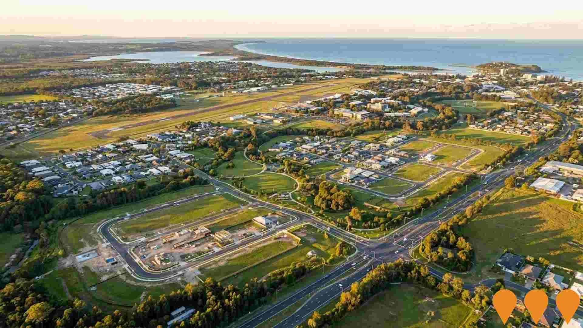
A strategic planning document that makes land use planning recommendations for the Fernbank Creek and Sancrox area, outlining a vision for sustainable conservation and development as a network of well-serviced villages. It proposes a potential dwelling yield of 4,500 homes across four precincts (including East Sancrox and Fernbank Creek) and guides future rezoning and infrastructure planning to support long-term growth near Thrumster. This plan is a key part of the Port Macquarie-Hastings Local Housing Delivery Plan which was adopted in August 2024.
Sovereign Place Town Centre
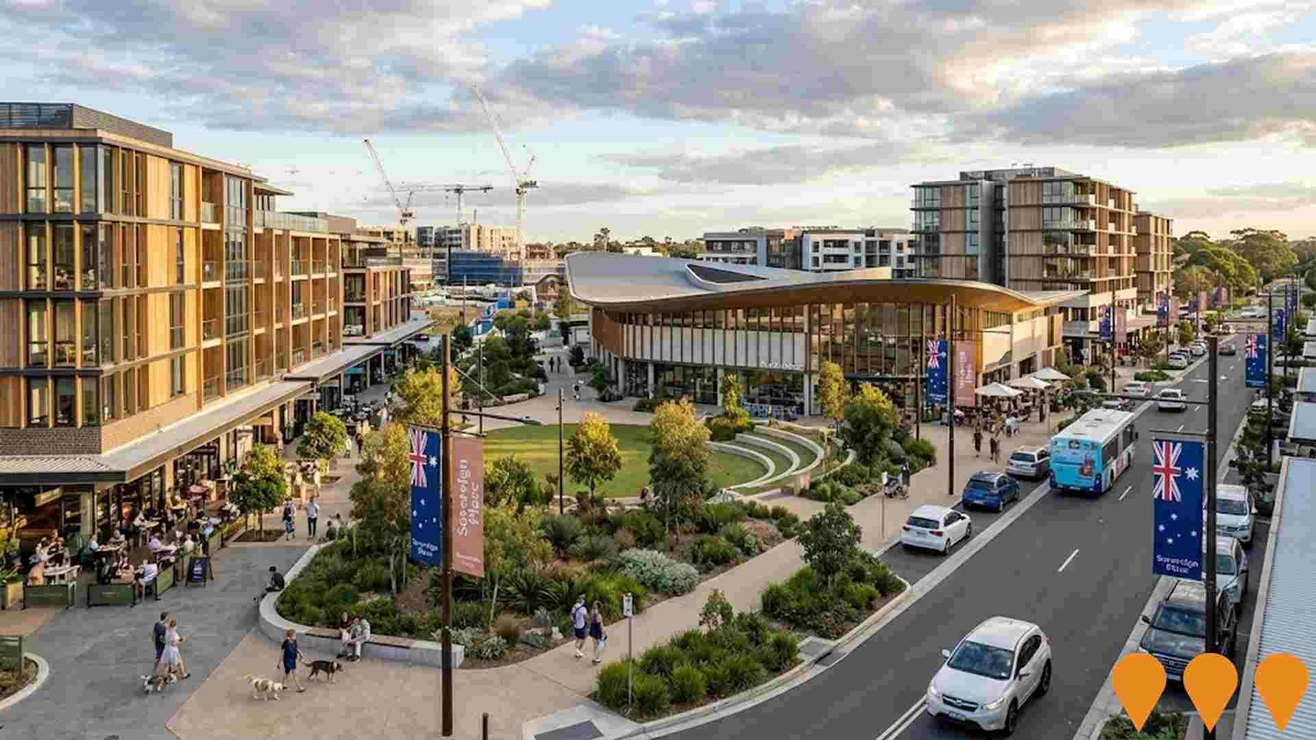
The commercial heart of the Sovereign Hills master planned community. Stage One is complete. The Town Centre is planned to expand to over 60,000sqm, incorporating diverse retail, a Business and Technology Park, a Health and Wellbeing Precinct, commercial offices, and a community library/town green.
Salt Town Beach
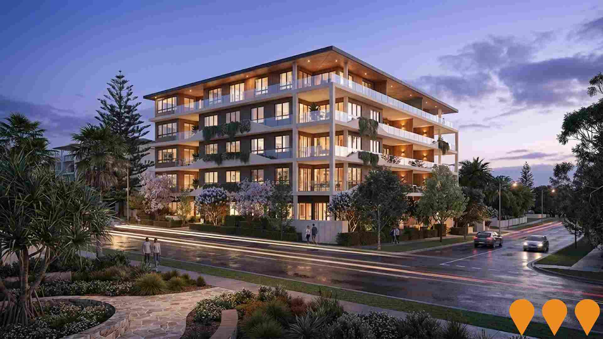
A masterpiece in contemporary design, its gentle curves harmonising with the adjacent rolling surf. Recognising the significance of the 'SALT' project, multi award-winning developers Harbourland harnessed the acclaimed skills of architects King + Campbell to create a centre of residential excellence with 15 luxury three-bedroom + study apartments offering uninterrupted coastal views.

Employment
AreaSearch analysis indicates Port Macquarie Surrounds maintains employment conditions that align with national benchmarks
Port Macquarie Surrounds had an unemployment rate of 2.9% as of September 2025. It employed 2,770 residents with a participation rate similar to Rest of NSW's 56.4%.
Key industries were agriculture, forestry & fishing, health care & social assistance, and construction. Agriculture, forestry & fishing had notably high concentration, at 3.3 times the regional average. In contrast, accommodation & food employed only 4.9% of local workers, below Rest of NSW's 7.8%. The area showed stability in labour force over a 12-month period ending September 2025, but employment declined by 0.7%, causing unemployment to rise by 0.7 percentage points.
State-level data to 25-Nov-25 showed NSW employment contracted by 0.03% with an unemployment rate of 3.9%. National forecasts from May-25 projected total employment growth of 6.6% over five years and 13.7% over ten years, but local projections based on industry-specific growth rates estimated Port Macquarie Surrounds' employment increase at 6.0% over five years and 12.8% over ten years.
Frequently Asked Questions - Employment
Income
The area's income levels rank in the lower 15% nationally based on AreaSearch comparative data
The median income among taxpayers in Port Macquarie Surrounds SA2 was $42,365 in financial year 2022. The average income stood at $53,425 during the same period. For comparison, Rest of NSW's median and average incomes were $49,459 and $62,998 respectively. Based on Wage Price Index growth of 12.61% since financial year 2022, current estimates for Port Macquarie Surrounds SA2 would be approximately $47,707 (median) and $60,162 (average) as of September 2025. According to the 2021 Census, household incomes in Port Macquarie Surrounds fall between the 16th and 22nd percentiles nationally. Income brackets indicate that 29.2% of individuals earn within the $1,500 - 2,999 band. Housing costs are modest with 87.0% of income retained, but total disposable income ranks at just the 27th percentile nationally.
Frequently Asked Questions - Income
Housing
Port Macquarie Surrounds is characterized by a predominantly suburban housing profile, with above-average rates of outright home ownership
Dwelling structure in Port Macquarie Surrounds, as evaluated at the Census conducted in 2016, comprised 96.8% houses and 3.1% other dwellings. In comparison, Non-Metro NSW had 75.9% houses and 24.1% other dwellings. Home ownership in Port Macquarie Surrounds was at 52.0%, with the remainder being mortgaged (34.2%) or rented (13.9%). The median monthly mortgage repayment was $1,668, lower than Non-Metro NSW's average of $1,733. The median weekly rent figure was $300, compared to Non-Metro NSW's $375. Nationally, Port Macquarie Surrounds' mortgage repayments were significantly lower than the Australian average of $1,863, while rents were substantially below the national figure of $375.
Frequently Asked Questions - Housing
Household Composition
Port Macquarie Surrounds has a typical household mix, with a higher-than-average median household size
Family households account for 75.3% of all households, including 29.4% couples with children, 36.0% couples without children, and 9.3% single parent families. Non-family households constitute the remaining 24.7%, with lone person households at 22.0% and group households making up 2.6%. The median household size is 2.5 people, which is larger than the Rest of NSW average of 2.3.
Frequently Asked Questions - Households
Local Schools & Education
Educational outcomes in Port Macquarie Surrounds fall within the lower quartile nationally, indicating opportunities for improvement in qualification attainment
The area's university qualification rate is 17.3%, significantly lower than the NSW average of 32.2%. This disparity presents both a challenge and an opportunity for targeted educational initiatives. Bachelor degrees are the most common at 12.8%, followed by postgraduate qualifications (2.3%) and graduate diplomas (2.2%). Vocational credentials are prominent, with 46.4% of residents aged 15+ holding such qualifications - advanced diplomas at 11.9% and certificates at 34.5%.
Educational participation is high, with 27.0% of residents currently enrolled in formal education. This includes 10.6% in primary education, 8.1% in secondary education, and 2.5% pursuing tertiary education.
Frequently Asked Questions - Education
Schools Detail
Nearby Services & Amenities
Transport
Transport servicing is low compared to other areas nationally based on assessment of service frequency, route connectivity and accessibility
Port Macquarie Surrounds has 156 active public transport stops. These include both train and bus services. There are 46 individual routes operating, providing a total of 304 weekly passenger trips.
Transport accessibility is moderate, with residents typically located 406 meters from the nearest stop. The service frequency averages 43 trips per day across all routes, equating to approximately one weekly trip per individual stop.
Frequently Asked Questions - Transport
Transport Stops Detail
Health
Health performance in Port Macquarie Surrounds is lower than average with common health conditions somewhat prevalent across both younger and older age cohorts
Port Macquarie Surrounds faces significant health challenges with common health conditions prevalent across both younger and older age cohorts. The rate of private health cover is very low at approximately 47% of the total population (~2,533 people), compared to the national average of 55.3%.
The most common medical conditions in the area are arthritis and mental health issues, impacting 10.6 and 8.5% of residents respectively. Conversely, 65.5% of residents declared themselves completely clear of medical ailments, higher than the Rest of NSW average of 59.9%. The area has 28.2% of residents aged 65 and over (1,518 people). Health outcomes among seniors are particularly strong, performing even better than the general population in health metrics.
Frequently Asked Questions - Health
Cultural Diversity
The latest Census data sees Port Macquarie Surrounds placing among the least culturally diverse areas in the country when compared across a range of language and cultural background related metrics
Port Macquarie Surrounds, as per the 2016 Census, had a cultural diversity index of below average. It reported that 90.6% of its population were Australian citizens, born in Australia, with 97.6% speaking English only at home. Christianity was the predominant religion, accounting for 56.1%, compared to 57.5% across Rest of NSW.
The top three ancestry groups were Australian (33.4%), English (32.7%), and Irish (9.3%). Notably, Australian Aboriginals were slightly overrepresented at 3.5% (vs regional 3.8%), Scots at 8.1% (vs 8.3%), and Germans at 3.3% (vs 2.9%).
Frequently Asked Questions - Diversity
Age
Port Macquarie Surrounds ranks among the oldest 10% of areas nationwide
Port Macquarie Surrounds has a median age of 50, which is higher than the Rest of NSW figure of 43 and well above the national average of 38. The 65-74 age group makes up 18.3% of the population in Port Macquarie Surrounds, compared to 12.9% in the Rest of NSW and 9.4% nationally. Meanwhile, the 25-34 age cohort is less prevalent at 7.1%. According to the 2021 Census, the 75-84 age group grew from 6.3% to 8.0%, while the 65-74 cohort increased from 16.7% to 18.3%. Conversely, the 55-64 cohort declined from 18.5% to 16.9%, and the 45-54 group dropped from 13.7% to 12.2%. By 2041, demographic modeling projects significant changes in Port Macquarie Surrounds' age profile. The 75-84 age cohort is expected to grow by 165 people (38%) from 431 to 597. Notably, the combined 65+ age groups are projected to account for 63% of total population growth, reflecting the area's aging demographic profile. Conversely, population declines are projected for the 65-74 and 55-64 cohorts.
