Chart Color Schemes
This analysis uses Suburbs and Localities (SAL) boundaries, which can materially differ from Statistical Areas (SA2) even when sharing the same name.
SAL boundaries are defined by Australia Post and the Australian Bureau of Statistics to represent commonly-known suburb names used in postal addresses.
Statistical Areas (SA2) are designed for census data collection and may combine multiple suburbs or use different geographic boundaries. For comprehensive analysis, consider reviewing both boundary types if available.
est. as @ -- *
2021 Census | -- people





Sales Activity


Curious about local property values? Filter the chart to assess the volume and appreciation (including resales) trends and regional comparisons, or scroll to the map below view this information at an individual property level.
Find a Recent Sale

Sales Detail
Population
An assessment of population growth drivers in Chiltern reveals an overall ranking slightly below national averages considering recent, and medium term trends
Based on examination of ABS demographic data updates for the wider region and fresh residential addresses verified by AreaSearch since the Census, the suburb of Chiltern has an estimated population of approximately 1,616 as of May 2026. This represents an addition of 36 people (2.3%) since the 2021 Census, which counted 1,580 individuals. This shift is calculated from a resident population of 1,614, which AreaSearch estimated using the ABS release of ERP figures from June 2025 alongside 15 validated new addresses since the Census date. With this population level, the density stands at 8.1 persons per square kilometer, indicating a spacious environment. The 2.3% rate of growth since the census is within 0.1 percentage points of the broader SA3 area (2.4%), indicating comparable growth dynamics. Population gains were mostly propelled by interstate migration, which accounted for roughly 66.0% of the overall growth, though natural growth and overseas migration also contributed positively.
AreaSearch incorporates projections from the ABS and Geoscience Australia for individual SA2 zones, published in 2024 with 2022 as the baseline. For SA2 regions lacking this coverage, AreaSearch employs Victorian State Government Regional/LGA projections from 2023, adjusted via weighted aggregation of population growth from the LGA to the SA2 level. The age group growth rates from these aggregations are applied to all locations for the period spanning 2032 to 2041. Looking at future demographic trends, population growth is projected to exceed the median for national regional areas, with the suburb of Chiltern anticipated to add 334 residents by 2041 based on compiled SA2-level forecasts, representing a 20.5% total increase over the 16 years.
Frequently Asked Questions - Population
Development
AreaSearch assessment of residential development drivers sees a low level of activity in Chiltern, placing the area among the bottom 25% of areas assessed nationally
According to AreaSearch's evaluation of building approvals from the ABS, distributed from statistical zone records, Chiltern averages approximately 6 new residential approvals annually. There were 33 homes approved over the 5 financial years from FY-21 to FY-25, and 8 so far in FY-26. With construction adding an average of just 0.8 new residents per completed dwelling over the 5 financial years from FY-21 to FY-25, supply is keeping pace with or exceeding demand. This provides purchasers with more options and supports potential growth above forecasts. Meanwhile, new dwellings are being constructed at an average value of $451,000, indicating that developers are focusing on the higher-end residential market.
Relative to the Rest of Vic., building activity per capita in Chiltern is at approximately 60%, placing it in the 54th percentile of all assessed locations nationwide. All new residential builds have consisted of detached houses, preserving the traditional low-density profile of the community and highlighting family-oriented properties. With a ratio of roughly 294 people for every residential approval, the area displays typical low-density features.
Based on the most recent quarterly estimate from AreaSearch, projections indicate Chiltern will add 332 residents by 2041. If building volumes do not increase from current levels, housing supply could fall behind demographic growth, which is likely to increase competition among buyers and support upward pressure on prices.
Frequently Asked Questions - Development
Development applications around Chiltern
Loading development applications…
| Lodged | Address | Description | Type | Distance | Status |
|---|
SOURCE: Planning portals and council registers, compiled by AreaSearch. Distance & bearing measured from the suburb midpoint.
Infrastructure
Chiltern has strong levels of nearby infrastructure activity, ranking in the top 40% nationally
Local infrastructure projects, major developments, and planning guidelines play a significant role in regional performance. There are no projects identified by AreaSearch that are expected to influence this locality. Prominent projects in the wider region include the North East Rail Line Upgrade, Inland Rail Beveridge to Albury, Inland Rail - Tottenham To Albury, and the Regional Housing Fund.
Professional plan users can use the search below to filter and access additional projects.
INFRASTRUCTURE SEARCH
 Denotes AI-based impression for illustrative purposes only, not to be taken as definitive under any circumstances. Please follow links and conduct other investigations from the project's source for actual imagery. Developers and project owners wishing us to use original imagery please Contact Us and we will do so.
Frequently Asked Questions - Infrastructure
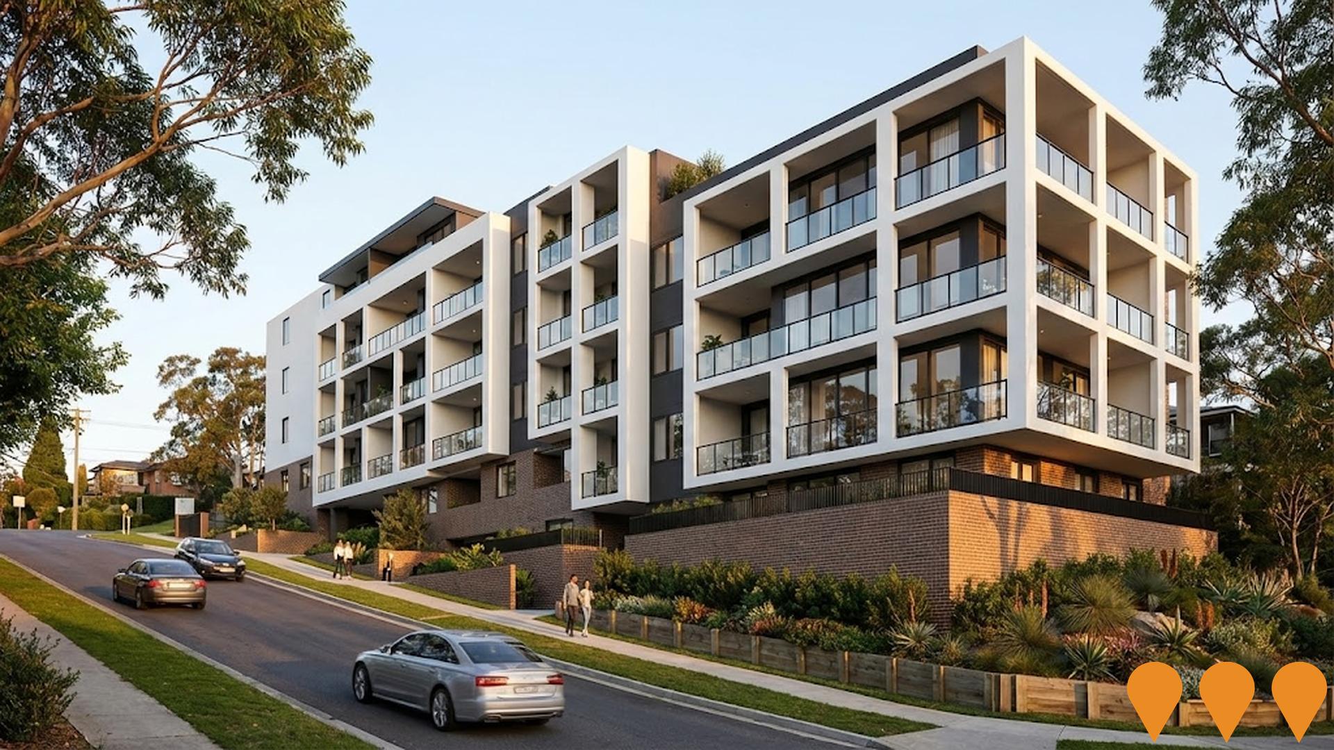
Low and Mid-Rise Housing Policy
Comprehensive NSW state planning reforms designed to increase housing density in well-located areas. The policy mandates mid-rise apartment buildings (3-6 storeys) and low-rise multi-dwelling housing (terraces, townhouses, and dual occupancies) within 800m of 171 high-frequency transport hubs and town centres. As of May 2026, the policy is fully operational following the phased rollout of dual occupancy provisions in July 2024 and mid-rise apartment provisions in early 2025. Recent updates include refined floor space ratios (FSR) and non-refusal standards to streamline local council assessments.
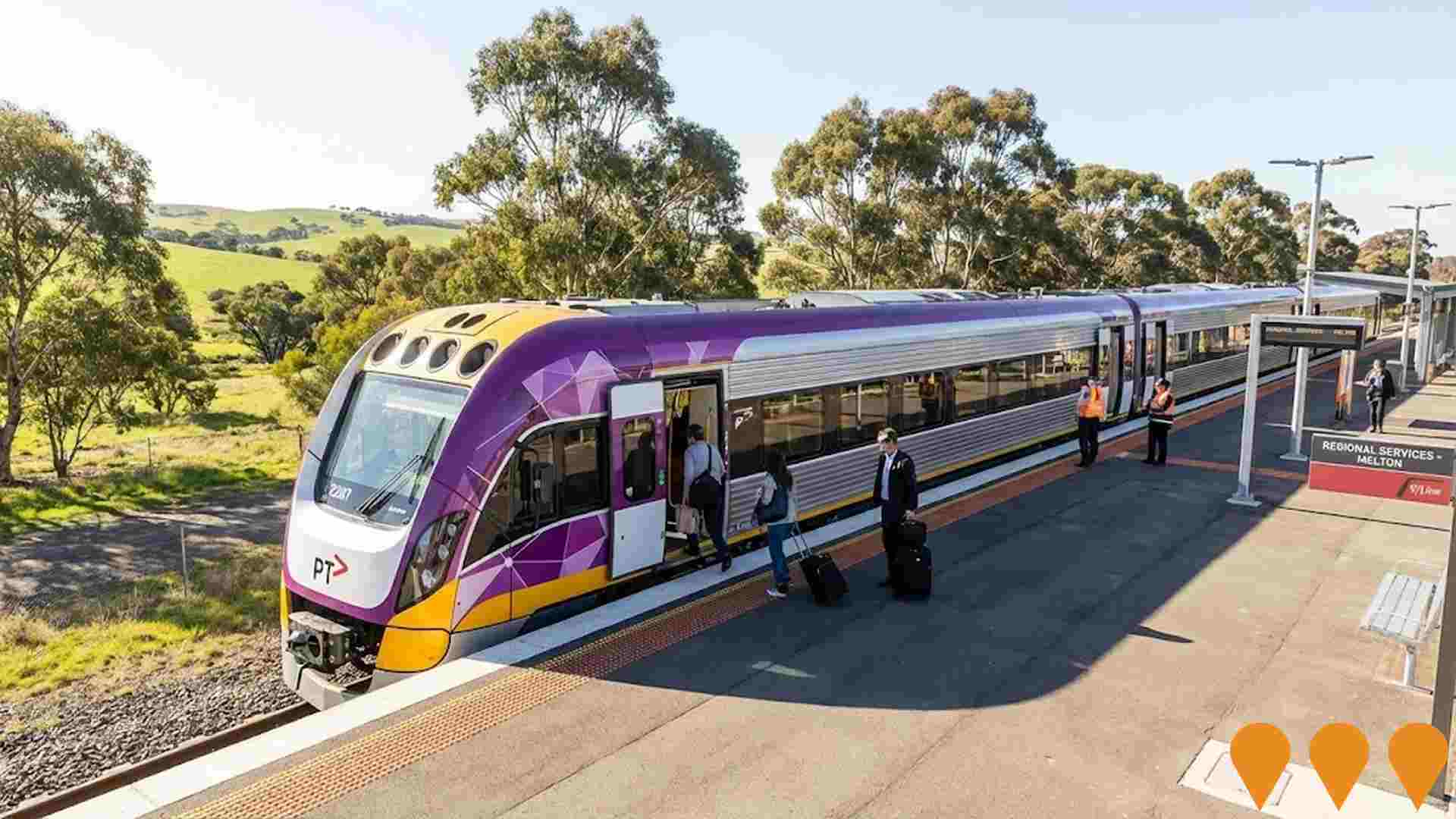
North East Rail Line Upgrade
Major upgrade to the North East Rail Line between Melbourne and Albury-Wodonga, improving freight and passenger services, including track resurfacing, mud-hole removal, drainage improvements, bridge upgrades, and signalling enhancements to allow VLocity trains and better ride quality.

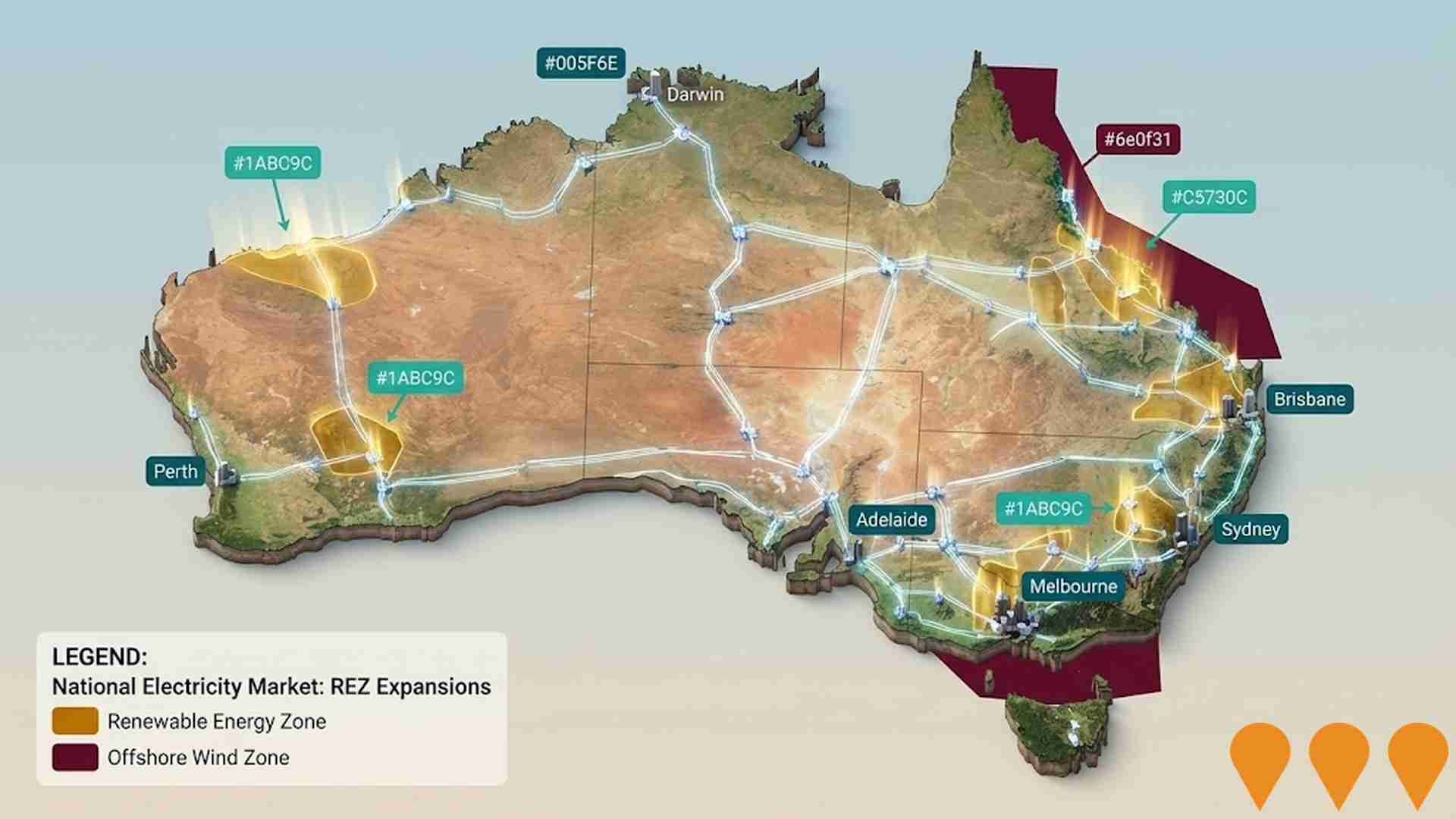
Victorian Renewable Energy Zones
The Victorian Renewable Energy Zones (REZs) represent a strategic 15-year roadmap to upgrade the state electricity grid as it transitions from coal to renewable energy. Managed by VicGrid, the 2025 Victorian Transmission Plan identifies six onshore zones (Central Highlands, Central North, Gippsland, North-West, South-West, and Western/Grampians) and a Gippsland Shoreline zone for offshore wind. The plan coordinates the connection of approximately 25GW of new solar, wind, and storage capacity by 2035, requiring nearly 800km of transmission upgrades. As of early 2026, VicGrid is finalizing the declaration of these zones following extensive community consultation on draft REZ orders, which closed in March 2026.

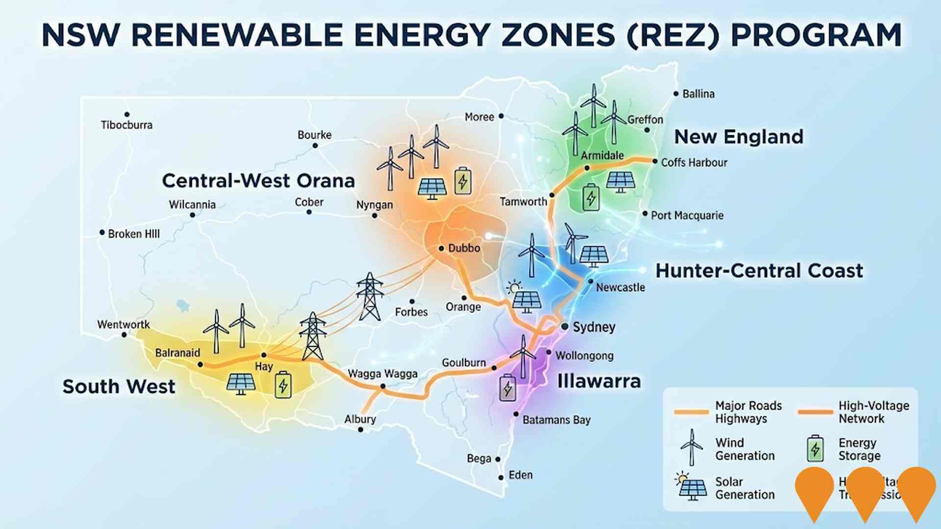
NSW Renewable Energy Zones (REZ) Program
NSW is delivering five Renewable Energy Zones (Central-West Orana, New England, South West, Hunter-Central Coast, and Illawarra) to coordinate wind and solar generation, storage, and high-voltage transmission. Led by EnergyCo NSW under the Electricity Infrastructure Roadmap, the program targets at least 12 GW of new renewable generation and 2 GW of long-duration storage by 2030. Major construction of the first REZ (Central-West Orana) transmission project began in June 2025, involving 90km of 500kV and 150km of 330kV lines. As of February 2026, the project reached a milestone with the Australian Energy Regulator's final decision on network revenue determinations, and significant progress has been made on temporary worker accommodation and road upgrades between the Port of Newcastle and the Central-West Orana region.
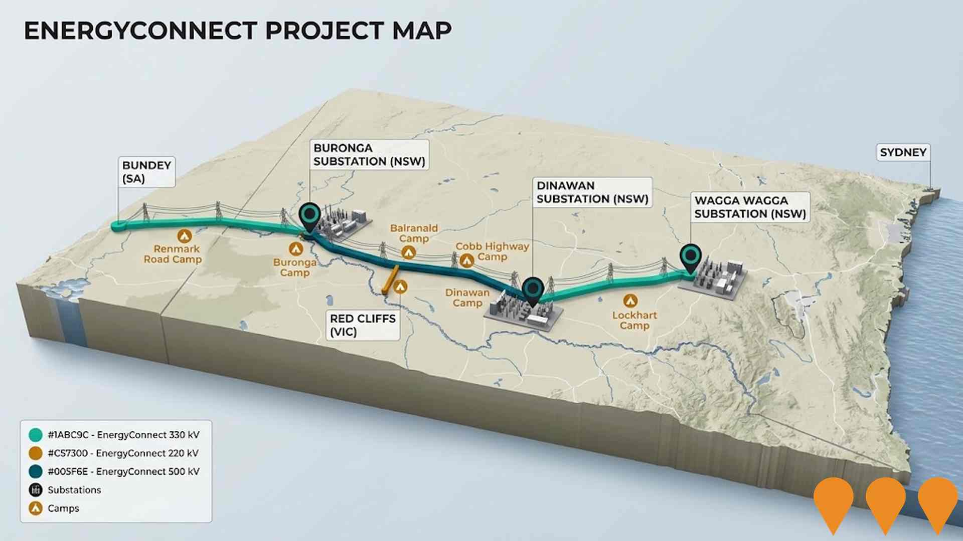
EnergyConnect
Australia's largest energy transmission project. A new ~900km interconnector linking the NSW, SA and VIC grids. NSW-West (Buronga to SA border and Red Cliffs spur) was energised in 2024-2025, connecting the three states via the expanded Buronga substation. NSW-East (Buronga-Dinawan-Wagga Wagga) is under active construction with substation upgrades at Wagga Wagga completed in June 2025 and works well advanced at Dinawan and Buronga. Full 800MW transfer capability is targeted after completion of the eastern section and inter-network testing, expected by late 2027.
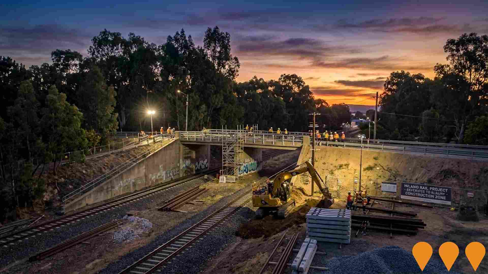
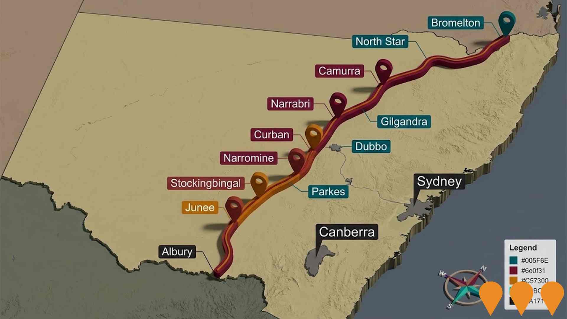
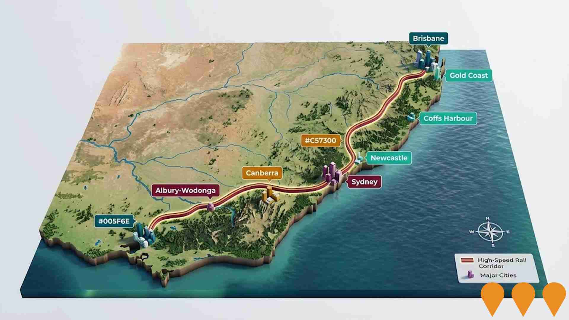
Inland Rail Beveridge to Albury
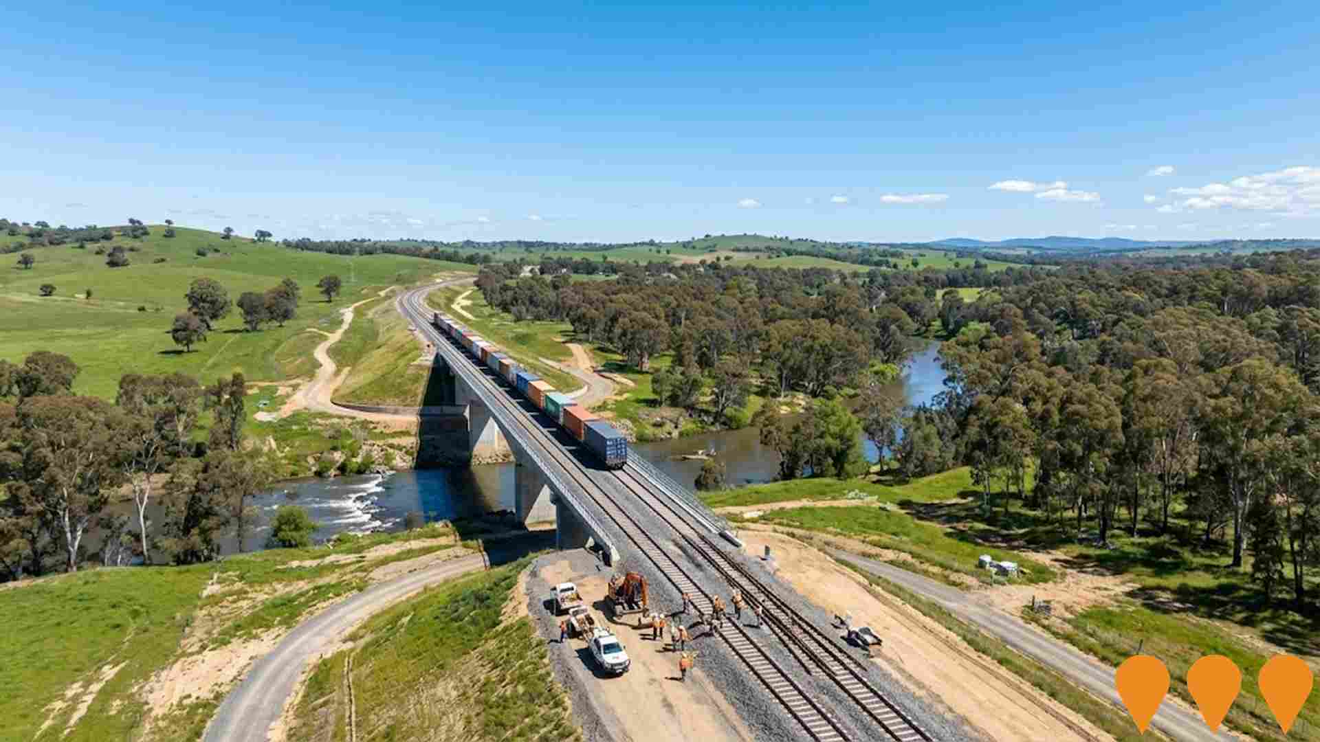
262km rail corridor upgrade enabling double-stacked freight trains between Beveridge and Albury. Two-tranche delivery with Tranche 1 under construction including bridge replacements and track modifications. John Holland contracted for Tranche 2.
Regional Housing Fund
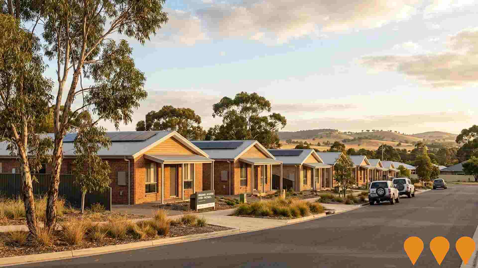
A $1 billion Homes Victoria program delivering more than 1,300 social and affordable homes across at least 30 regional and rural Victorian LGAs. Delivery uses modern construction methods, redevelopment of existing social housing, community housing partnerships, refurbishments and purchases in new developments. Homes Victoria reports more than 630 homes completed or under construction, including 377 completed, with fund completion targeted for 2028.
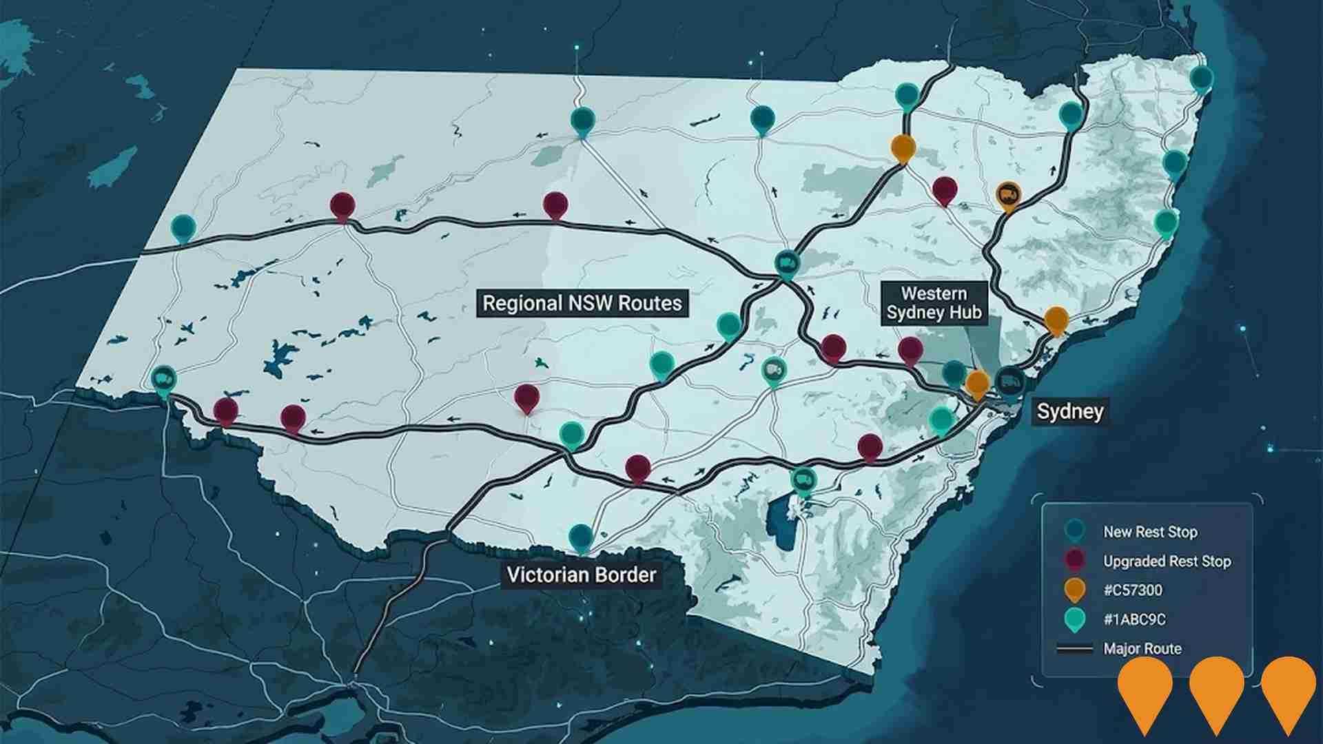
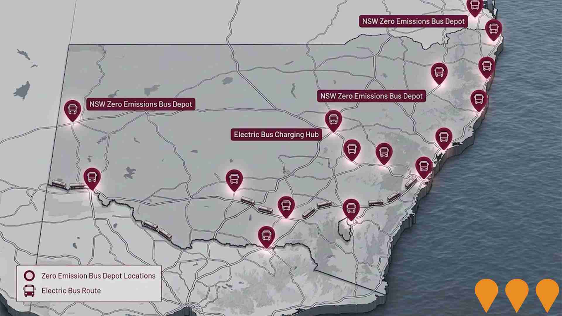
NSW Heavy Vehicle Rest Stops Program (TfNSW)
Statewide Transport for NSW program to increase and upgrade heavy vehicle rest stopping across NSW. Works include minor upgrades under the $11.9m Heavy Vehicle Rest Stop Minor Works Program (e.g. new green reflector sites and amenity/signage improvements), early works on new and upgraded formal rest areas in regional NSW, and planning and site confirmation for a major new dedicated rest area in Western Sydney. The program aims to reduce fatigue, improve safety and productivity on key freight routes, and respond to industry feedback collected since 2022.
Employment
Chiltern shows employment indicators that trail behind approximately 70% of regions assessed across Australia
Chiltern possesses a balanced job market that includes both professional and trade-based occupations, with strong representation in essential services. The unemployment rate is 5.4%, according to AreaSearch's compilation of statistical area data. As of March 2026, there are 786 employed local residents. The unemployment rate is 1.7% higher than the Regional Vic. rate of 3.7%, while the labor participation rate is close to the Regional Vic. level of 61.1%. Census details show that a moderate 15.0% of the workforce worked from home, though this figure may have been influenced by COVID-19 restrictions.
The primary employment sectors for local residents are health care & social assistance, manufacturing, and retail trade. The local workforce is highly concentrated in manufacturing, which employs workers at 1.6 times the regional average rate. Conversely, the accommodation & food sector is underrepresented, employing 3.5% of the local workforce compared to 6.9% across Regional Vic.. A comparison of the Census working population against the resident population suggests a shortage of local jobs.
AreaSearch analysis of SALM and ABS statistics for the broader region shows that over the 12-month period, the local labor force contracted by 2.7% and employment fell by 3.0%, leading to a 0.3 percentage point increase in the unemployment rate. In comparison, Regional Vic. saw a 0.1% decline in employment, a 0.3% drop in the labor force, and a 0.2 percentage point decrease in unemployment. National employment projections from Jobs and Skills Australia as of May-25 provide additional context for future demand in Chiltern. These five and ten-year forecasts have been aligned with local employment profiles to estimate future trends. While national employment is projected to grow by 6.6% over five years and 13.7% over ten years, the rates of change vary by industry. Mapping these industry projections onto the local employment structure suggests that employment in Chiltern could rise by 5.9% over five years and 12.9% over ten years, based on a simple weighted calculation for illustrative purposes that excludes local population projections.
Frequently Asked Questions - Employment
Income
The area's income levels rank in the lower 15% nationally based on AreaSearch comparative data
Tax data compiled by AreaSearch for financial year 2023 shows that income levels in the suburb of Chiltern are below the national average. The median income for local taxpayers is $44,330, and the average income is $52,478, compared to Regional Vic. figures of $50,954 and $62,728. Adjusting for a Wage Price Index increase of 9.62% since financial year 2023, estimated incomes would be roughly $48,595 for the median and $57,526 for the average as of March 2026. The 2021 Census placed household, family, and individual incomes in Chiltern between the 20th and 25th percentiles nationally. Looking at income brackets, the $1,500 - 2,999 range includes 30.6% of the population, representing 494 individuals, which aligns closely with the regional figure of 30.3% in this bracket. Although residents retain 87.8% of their income due to modest housing costs, total disposable income ranks at the 26th percentile nationally.
Frequently Asked Questions - Income
Housing
Chiltern is characterized by a predominantly suburban housing profile, with above-average rates of outright home ownership
The housing stock in Chiltern at the time of the latest Census consisted of 93.3% separate houses and 6.7% alternative housing types, such as semi-detached properties and apartments. This compares to 90.1% houses and 9.9% alternative options across Regional Vic.. Outright home ownership in Chiltern was high at 45.5%, with the remaining properties being mortgaged (43.0%) or rented (11.5%). The median monthly mortgage payment was $1,300, and the median weekly rent was $260, which are lower than the Regional Vic. medians of $1,430 and $285. Nationally, mortgage costs in Chiltern are below the Australian median of $1,863, and weekly rents are lower than the national median of $375.
Frequently Asked Questions - Housing
Household Composition
Chiltern features high concentrations of lone person households, with a lower-than-average median household size
Families make up 66.1% of all local households, consisting of couples with children at 24.1%, couples without children at 32.3%, and single-parent households at 8.4%. Non-family households account for the remaining 33.9%, which includes single-person households at 30.8% and group living situations at 3.0%. The median household size is 2.3 individuals, slightly below the Regional Vic. average of 2.4.
Frequently Asked Questions - Households
Local Schools & Education
Educational outcomes in Chiltern fall within the lower quartile nationally, indicating opportunities for improvement in qualification attainment
Higher education completion rates in the area are low, with 18.0% of residents holding a university qualification compared to the Victorian average of 33.4%. Among these graduates, bachelor degrees are the most common at 11.8%, followed by graduate diplomas at 3.6% and postgraduate qualifications at 2.6%. Vocational and technical skills are common, with 41.7% of residents aged 15+ holding trade credentials, consisting of advanced diplomas (10.8%) and certificates (30.9%).
Enrolment in education is high, with 26.6% of the population participating in formal study. This includes 9.8% in high schools, 8.4% in primary schools, and 2.5% in tertiary studies.
Frequently Asked Questions - Education
Schools Detail
Nearby Services & Amenities
Transport
Transport servicing is low compared to other areas nationally based on assessment of service frequency, route connectivity and accessibility
Public transport services in Chiltern include 3 active stops, which consist of train connections. These stops are served by 3 separate routes that provide 53 passenger trips each week. Transport access is moderate, with the average distance to the nearest stop being 572 meters. Because it is a residential community, most workers travel outside the suburb, with private vehicles being the primary mode of travel for 94% of commuters, while 6% walk. The average number of vehicles per household is 1.8, which is higher than the regional average. In the 2021 Census, 15.0% of the workforce worked from home, which may have been influenced by COVID-19 conditions.
Service frequency on these transport routes averages 7 daily trips, which corresponds to roughly 17 weekly trips for each stop.
Frequently Asked Questions - Transport
Transport Stops Detail
Health
Health performance in Chiltern is well below average with prevalence of common health conditions notable across both younger and older age cohorts
Health assessments by AreaSearch indicate that Chiltern faces notable challenges, particularly regarding mortality rates and the prevalence of chronic health conditions across both younger and older cohorts. Private health insurance coverage is low, with approximately 48% of the population, or about 770 people, holding cover. This compares to 50.5% in Regional Vic. and a national average of 55.7%.
The most prevalent medical conditions reported among residents are arthritis (12.8%) and mental health conditions (9.7%). Around 57.0% of residents reported having no chronic medical conditions, compared to 63.4% in Regional Vic.. Chronic health conditions are elevated among the working-age population. Furthermore, 27.6% of residents are aged 65 and over, representing 446 people, which is higher than the 23.9% average for Regional Vic.. Senior health outcomes are broadly consistent with national benchmarks for the general population.
Frequently Asked Questions - Health
Cultural Diversity
The latest Census data sees Chiltern placing among the least culturally diverse areas in the country when compared across a range of language and cultural background related metrics
Cultural diversity in Chiltern is lower than average, with 88.8% of residents born in Australia, 92.7% holding citizenship, and 98.2% speaking only English at home. The predominant religion is Christianity, practiced by 49.6% of residents, compared to 47.3% across Regional Vic..
The most common ancestries among local residents are Australian at 34.5%, English at 32.9%, and Irish at 9.4%. There is a notable presence of other ancestries relative to regional averages, with Welsh representing 0.8% of the population compared to 0.4% regionally, Dutch at 1.9% compared to 1.7%, and Serbian at 0.5% compared to 0.2%.
Frequently Asked Questions - Diversity
Age
Chiltern ranks among the oldest 10% of areas nationwide
Chiltern has a median age of 50, which is higher than the Regional Vic. median of 43 and the national average of 38. The 55 - 64 age bracket is highly represented at 15.8% of the population, while the 25 - 34 bracket is less common at 7.5%. Since the 2021 Census, the proportion of residents aged 15 to 24 grew from 10.3% to 12.3%. In contrast, the 55 to 64 group declined from 17.4% to 15.8%, and the 5 to 14 group fell from 10.6% to 9.5%. Demographic models indicate that Chiltern's age profile will change by 2041, with the 45 to 54 cohort projected to grow by 74 people (33%) from 227 to 302, while the 15 to 24 cohort is expected to increase by 5%, adding 9 people.