Chart Color Schemes
This analysis uses ABS Statistical Areas Level 2 (SA2) boundaries, which can materially differ from Suburbs and Localities (SAL) even when sharing similar names.
SA2 boundaries are defined by the Australian Bureau of Statistics and are designed to represent communities for statistical reporting (e.g., census and ERP).
Suburbs and Localities (SAL) represent commonly-used suburb/locality names (postal-style areas) and may use different geographic boundaries. For comprehensive analysis, consider reviewing both boundary types if available.
est. as @ -- *
ABS ERP | -- people | --
2021 Census | -- people
Sales Activity
Curious about local property values? Filter the chart to assess the volume and appreciation (including resales) trends and regional comparisons, or scroll to the map below view this information at an individual property level.
Find a Recent Sale
Sales Detail
Population
An assessment of population growth drivers in Pemberton reveals an overall ranking slightly below national averages considering recent, and medium term trends
Pemberton's population is approximately 5,643 as of November 2025. This figure represents an increase of 445 people, or 8.6%, since the 2021 Census which recorded a population of 5,198. The change is inferred from the estimated resident population of 5,571 in June 2024 and an additional 96 validated new addresses since the Census date. This results in a population density ratio of 0.60 persons per square kilometer. Pemberton's growth rate of 8.6% since the 2021 census exceeds that of the SA3 area (8.1%), making it a growth leader in the region. Interstate migration contributed approximately 64.9% of overall population gains during recent periods, driving this growth.
AreaSearch uses ABS/Geoscience Australia projections for each SA2 area, released in 2024 with a base year of 2022. For areas not covered by this data and to estimate growth post-2032, AreaSearch utilises growth rates by age cohort provided by the ABS in its latest Greater Capital Region projections (released in 2023, based on 2022 data). Considering projected demographic shifts, a population increase just below the median of regional areas nationally is expected. The area is projected to expand by 498 persons to reach 6,141 by 2041, reflecting an overall increase of 7.5% over the 17-year period based on the latest annual ERP population numbers.
Frequently Asked Questions - Population
Development
Recent residential development output has been above average within Pemberton when compared nationally
Pemberton has averaged approximately 39 new dwelling approvals annually. Over the past five financial years, from FY21 to FY25199 homes were approved, with a further 9 approved in FY26. The average population increase per year for each dwelling built over these five years was 1.8 people.
This suggests a balanced supply and demand dynamic, maintaining stable market conditions. New properties are constructed at an average expected cost of $222,000, which is below regional levels, indicating more affordable housing options for buyers. In FY26, commercial development approvals totalled $10.2 million, suggesting balanced commercial development activity in the area.
Compared to the Rest of WA, Pemberton exhibits moderately higher construction activity, with 22.0% above the regional average per person over the five-year period. This preserves reasonable buyer options while sustaining existing property demand. Recent building activity consists solely of detached houses, preserving Pemberton's low-density nature and attracting space-seeking buyers. With approximately 145 people per approval, Pemberton reflects a developing area. According to AreaSearch's latest quarterly estimate, the population is projected to increase by 426 residents by 2041. Based on current development patterns, new housing supply should meet demand, offering favourable conditions for buyers and potentially facilitating further population growth beyond current projections.
Frequently Asked Questions - Development
Infrastructure
Pemberton has limited levels of nearby infrastructure activity, ranking in the 5thth percentile nationally
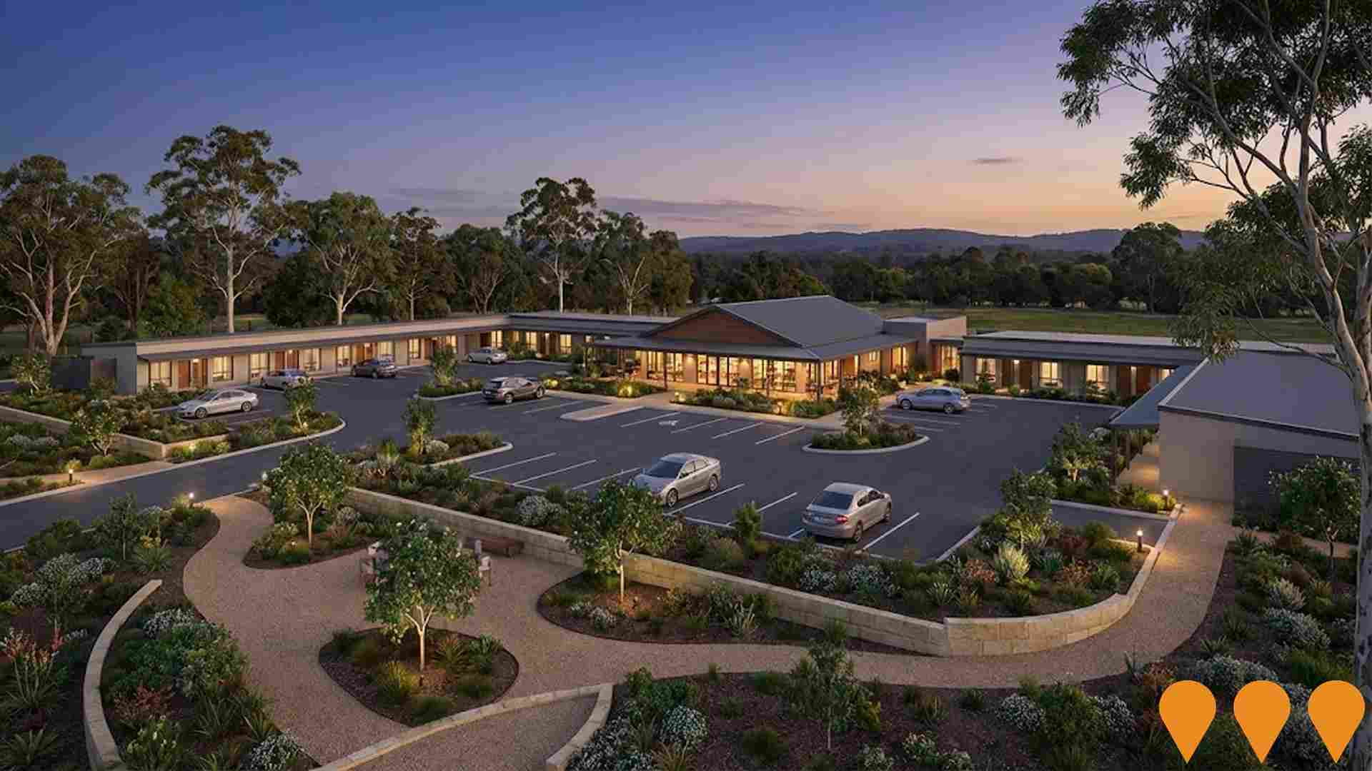
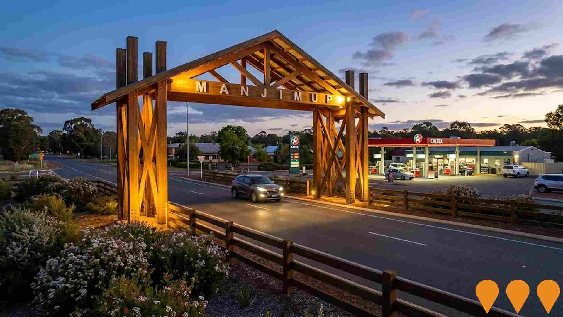
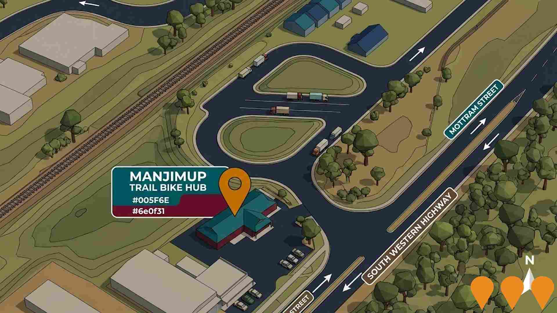
Changes to local infrastructure significantly impact an area's performance. AreaSearch has identified 11 projects likely affecting the region. Notable ones are Manjimup Motel and Restaurant, Manjimup Rea Park & Collier Street Redevelopment, Shire of Manjimup Town Blueprints, and Manjimup Trail Bike Hub. The following details those most relevant:.
Professional plan users can use the search below to filter and access additional projects.
INFRASTRUCTURE SEARCH
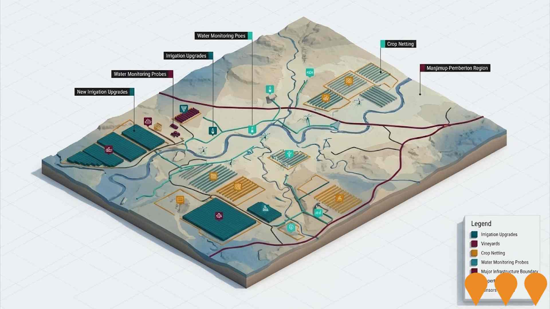
 Denotes AI-based impression for illustrative purposes only, not to be taken as definitive under any circumstances. Please follow links and conduct other investigations from the project's source for actual imagery. Developers and project owners wishing us to use original imagery please Contact Us and we will do so.
Frequently Asked Questions - Infrastructure
Bunbury Offshore Wind Area
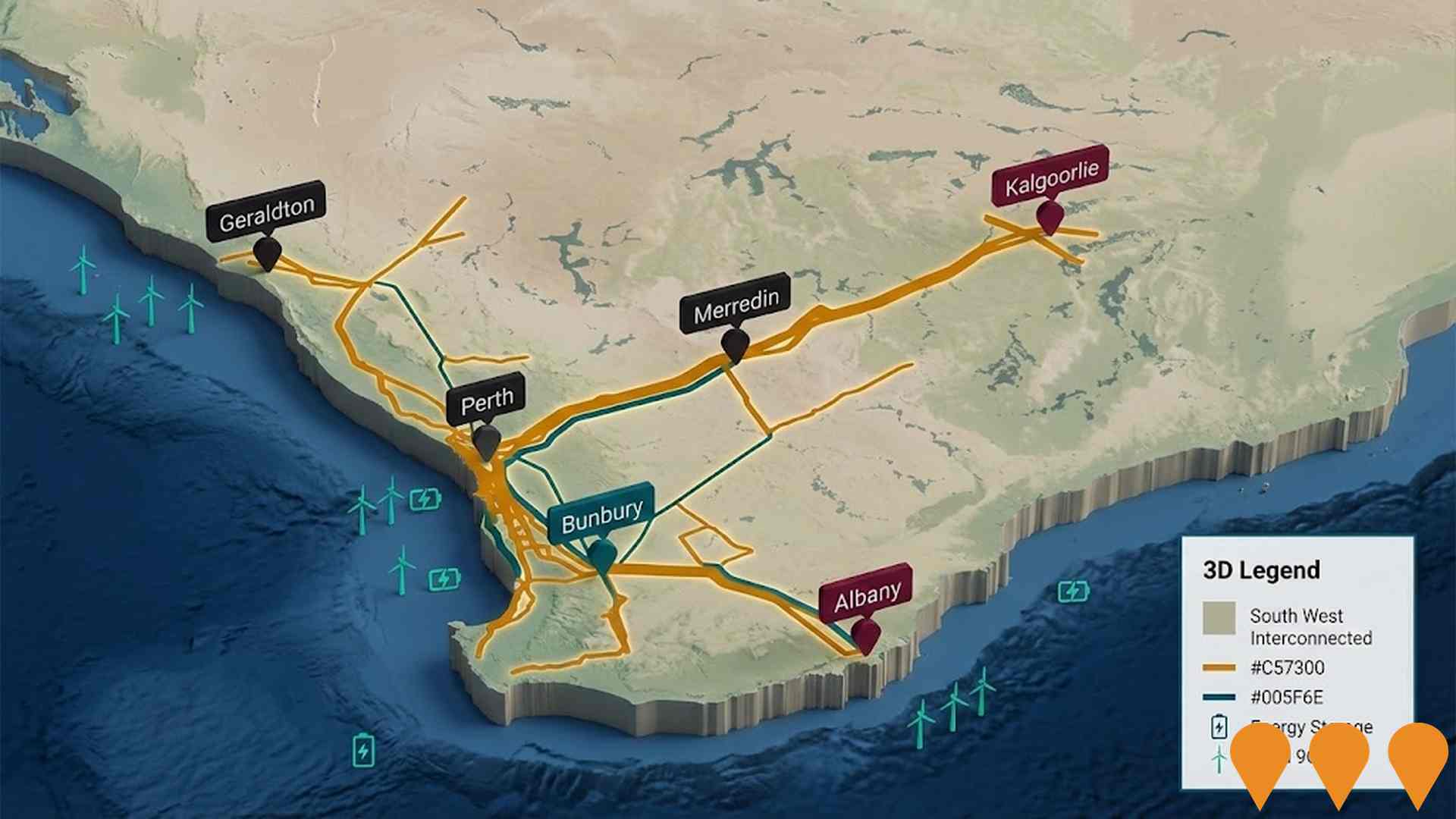
The Bunbury Offshore Wind Area is a declared offshore wind zone covering approximately 4,000 sq km in the Indian Ocean, located at least 30km off the coast of Bunbury, WA. The zone has a potential capacity of 11.4 GW. In late 2025, preliminary feasibility licenses were offered to three key projects: the Bunbury Offshore Wind Farm (North and South) developed by Oceanex Energy, and the Westward Wind project developed by Ocean Winds (EDP Renewables/ENGIE). These initial projects aim to deliver approximately 4 GW of renewable energy, creating up to 7,000 jobs during construction. The area is strategically positioned to utilize existing grid connections and support the South West's energy transition.

Busselton Margaret River Airport Expansion
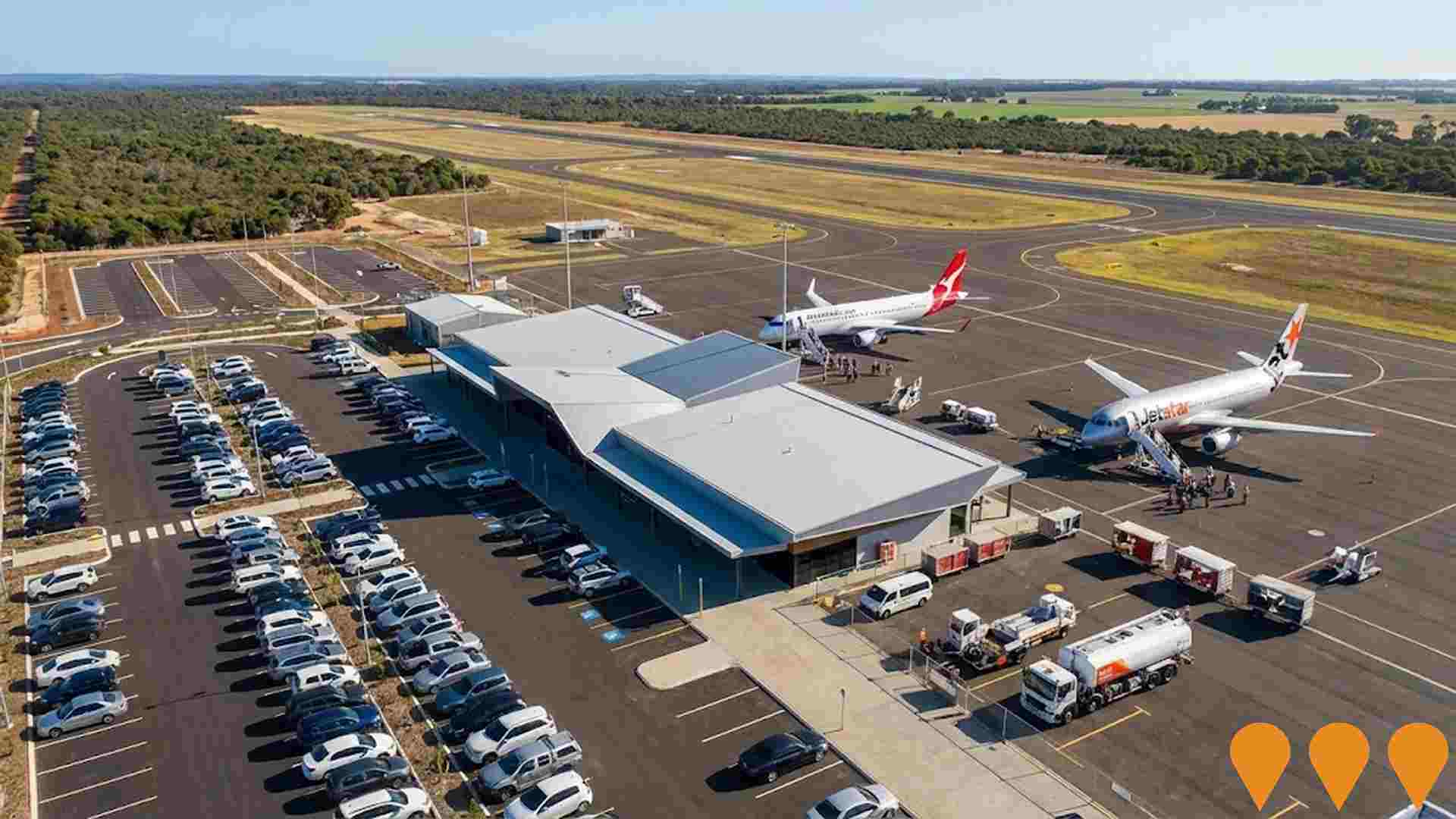
Busselton Margaret River Airport completed a $74m redevelopment in 2019 and now operates direct Qantas/Jet‚star services to Melbourne and Sydney plus FIFO charters. The City of Busselton is advancing the next phase of works guided by the 2024 Airport Master Plan. Planned 2025-2028 projects include terminal expansion (approx. $65m, subject to funding and business case), new public car park, security screening upgrades, septic system upgrade, GSE storage facility, mobile passenger boarding ramps and drainage improvements.
Greenbushes Lithium Mine Expansion
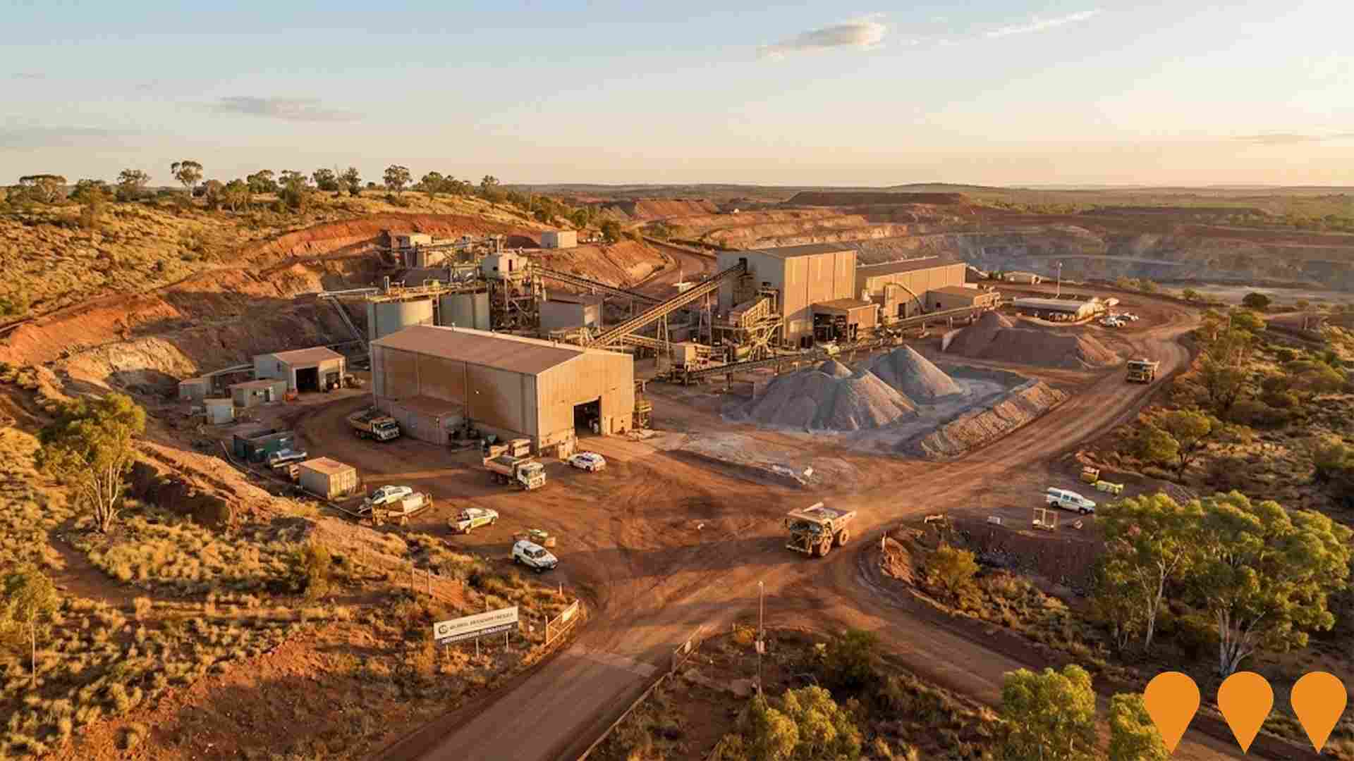
Expansion of the existing lithium mine to substantially increase production capacity of spodumene ore and lithium mineral concentrate. The proposal includes construction of new waste rock landforms (S2 and S8 WRL), expansion of existing dams to create the larger Salt Water Gully Dam (SWG Dam), a highway crossing (overpass or underpass), and additional supporting infrastructure. The proposal will increase the development envelope by 28% to 2,826 hectares and requires state and federal environmental approvals.

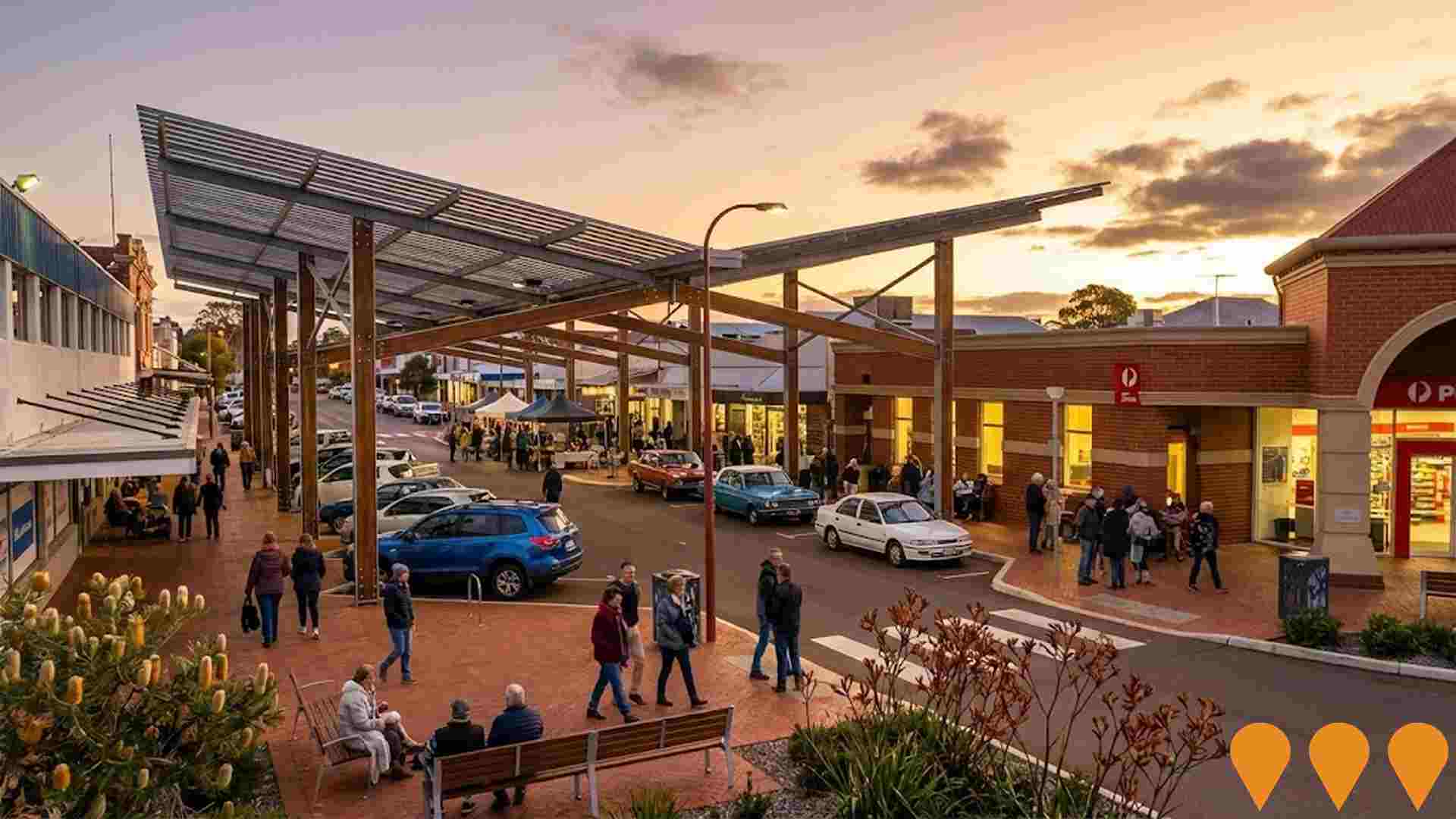
Manjimup Town Centre Revitalisation
Multi-stage renewal delivering eight components including Brockman Street town square canopy and CBD streetscape, Manjimup Timber and Heritage Park upgrades (Power Up Museum and State Timber Museum), linear recreation park, new access points and town entries, highway enhancements and pedestrian/cycling links. Key construction elements were completed by 2020 with Heritage Park works finished in 2018.
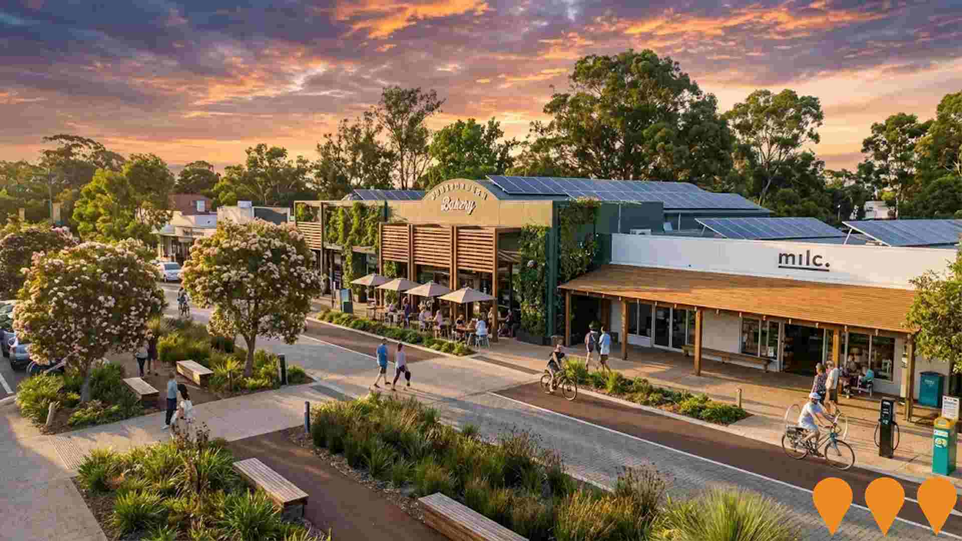
City of Busselton Local Planning Scheme No. 22
Comprehensive new local planning scheme for Busselton City including Dunsborough areas, supporting sustainable growth while retaining character and identity. Currently under EPA and WAPC review.
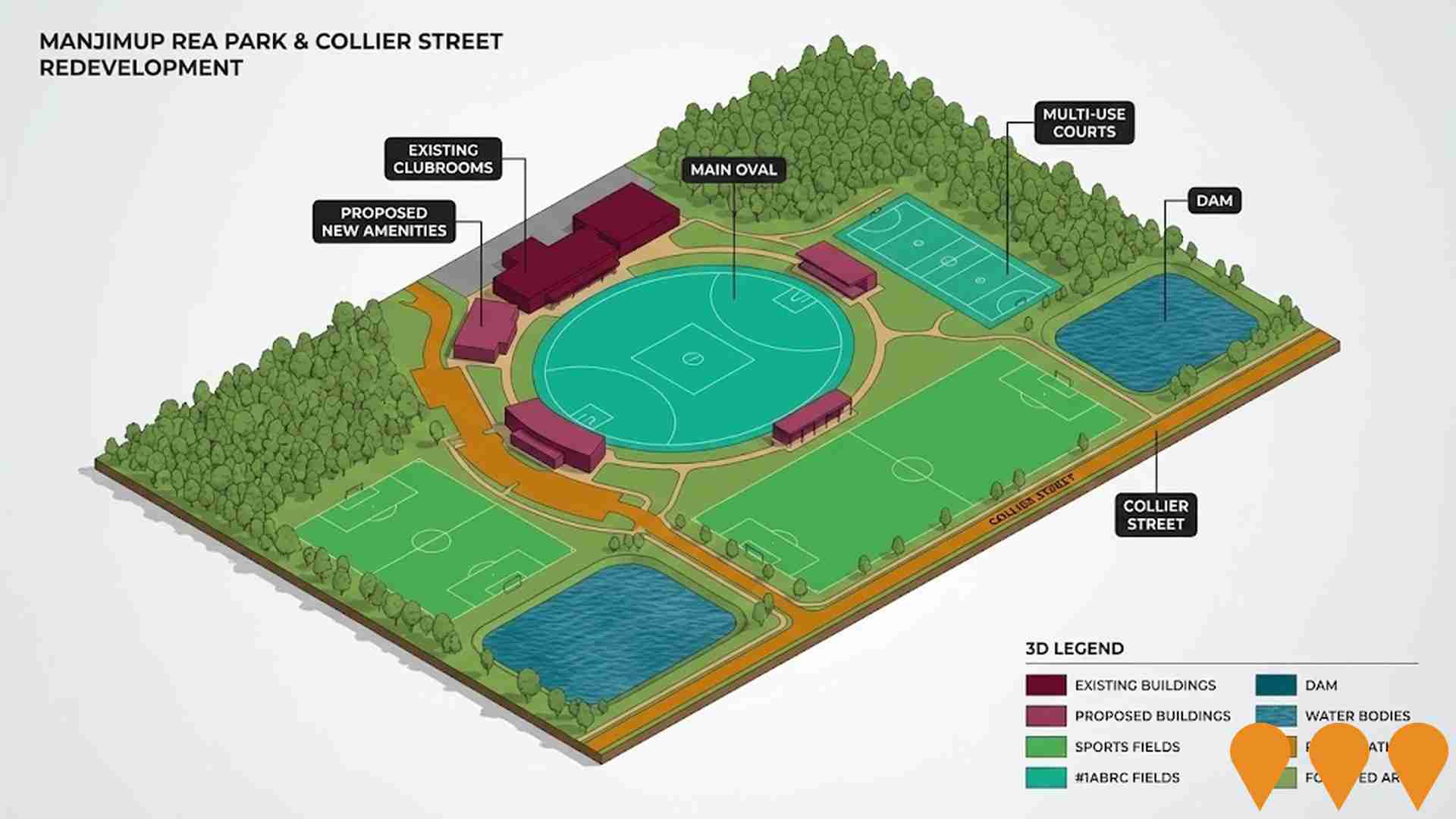
Manjimup Rea Park & Collier Street Redevelopment
Staged renewal of the Rea Park and Collier Street sporting precinct to create a premier multi-sport community facility. Stage 1 (power and LED field lighting) is complete. The Shire is now seeking funding for Stage 2 works including ground upgrades, drainage and amenities.
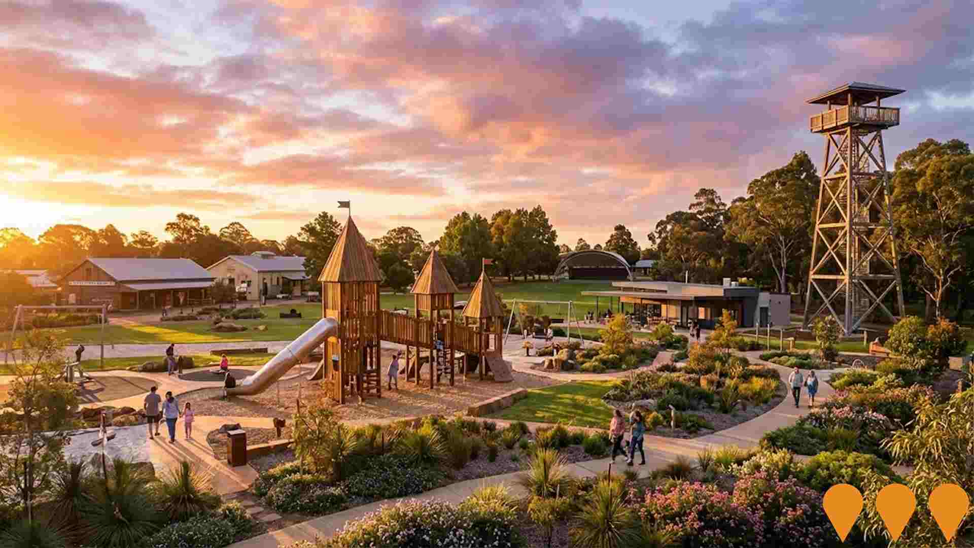
Manjimup Timber and Heritage Park Revitalisation
Revitalisation of the Manjimup Heritage Park as part of the Manjimup Town Centre Revitalisation, delivering refurbished museums (State Timber Museum and Power Up Electricity Museum), new and upgraded park entries, cafe and visitor amenities, extensive landscaping and paths, the Sandra Donovan Sound Shell and a major adventure playground, strengthening the site as a regional tourism and community hub.
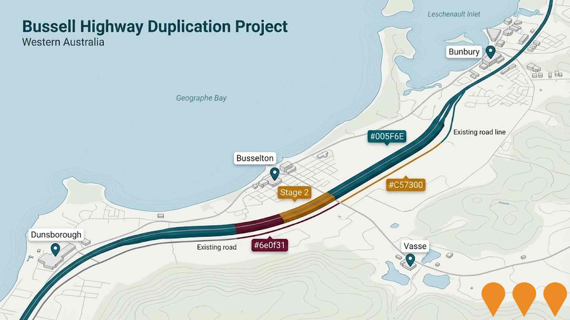
Bussell Highway Duplication
17-kilometre highway duplication between Bunbury and Busselton, completed April 2025. Includes new lanes, road improvements and bridge construction improving access to Dunsborough region. The project was delivered in two stages and provides safer overtaking opportunities, increased capacity and enhanced traffic flow for more than 15,000 vehicles daily.
Employment
AreaSearch analysis places Pemberton well above average for employment performance across multiple indicators
Pemberton has a skilled workforce with diverse sector representation. The unemployment rate was 2.8% as of September 2025.
Employment growth over the past year was estimated at 6.1%. There were 3,148 residents in work while the unemployment rate was 0.4% below Rest of WA's rate of 3.3%. Workforce participation was somewhat below standard at 55.3%, compared to Rest of WA's 59.4%. Leading employment industries among residents comprised agriculture, forestry & fishing, accommodation & food, and health care & social assistance.
The area showed strong specialization in agriculture, forestry & fishing with an employment share of 3.1 times the regional level. Mining had limited presence with 3.4% employment compared to 11.7% regionally. Employment opportunities appeared limited locally based on Census working population vs resident population comparison. Over a 12-month period ending September 2025, employment increased by 6.1% alongside labour force increasing by 5.8%, causing the unemployment rate to fall by 0.2 percentage points. Rest of WA recorded employment growth of 1.4%, labour force growth of 1.2%, with unemployment falling 0.2 percentage points during the same period. Jobs and Skills Australia's national employment forecasts from May-25 projected national employment expansion at 6.6% over five years and 13.7% over ten years. Applying these projections to Pemberton's employment mix suggested local employment should increase by 4.8% over five years and 11.0% over ten years.
Frequently Asked Questions - Employment
Income
Income metrics place the area in the bottom 10% of locations nationally according to AreaSearch analysis
AreaSearch's latest postcode level ATO data for financial year 2022 shows Pemberton SA2 had a median income among taxpayers of $42,340 and an average of $56,581. This is below the national average. In comparison, Rest of WA had a median income of $57,323 and an average of $71,163. Based on Wage Price Index growth of 14.2% since financial year 2022, estimated incomes for September 2025 are approximately $48,352 (median) and $64,616 (average). Census 2021 income data indicates that household, family, and personal incomes in Pemberton fall between the 8th and 15th percentiles nationally. Income analysis reveals that 27.0% of the community earns between $800 - 1,499 (1,523 individuals), differing from regional levels where earnings between $1,500 - 2,999 predominate at 31.1%. Housing costs are modest with 88.4% of income retained. However, total disposable income ranks at just the 12th percentile nationally.
Frequently Asked Questions - Income
Housing
Pemberton is characterized by a predominantly suburban housing profile, with above-average rates of outright home ownership
Pemberton's dwelling structures, as per the latest Census, consisted of 96.5% houses and 3.5% other dwellings such as semi-detached homes, apartments, and 'other' dwellings. This is compared to Non-Metro WA's 95.2% houses and 4.9% other dwellings. Home ownership in Pemberton stood at 53.3%, with mortgaged dwellings at 28.6% and rented ones at 18.1%. The median monthly mortgage repayment was $1,300, lower than Non-Metro WA's average of $1,387. Median weekly rent in Pemberton was recorded at $240, compared to Non-Metro WA's $250. Nationally, Pemberton's median monthly mortgage repayments were significantly lower at $1,300 than the Australian average of $1,863, while median weekly rents were substantially below the national figure of $375.
Frequently Asked Questions - Housing
Household Composition
Pemberton has a typical household mix, with a lower-than-average median household size
Family households constitute 67.7% of all households, including 21.6% couples with children, 38.7% couples without children, and 6.7% single parent families. Non-family households comprise the remaining 32.3%, with lone person households at 29.9% and group households making up 2.4% of the total. The median household size is 2.2 people, which is smaller than the Rest of WA average of 2.3.
Frequently Asked Questions - Households
Local Schools & Education
Pemberton shows below-average educational performance compared to national benchmarks, though pockets of achievement exist
The area has university qualification rates of 19.7%, significantly lower than the Australian average of 30.4%. Bachelor degrees are the most common at 14.0%, followed by postgraduate qualifications (3.1%) and graduate diplomas (2.6%). Vocational credentials are prevalent, with 39.5% of residents aged 15+ holding them, including advanced diplomas (10.5%) and certificates (29.0%). A total of 24.8% of the population is actively engaged in formal education, comprising 9.4% in secondary education, 9.2% in primary education, and 1.0% pursuing tertiary education.
A substantial 24.8% of the population actively pursues formal education. This includes 9.4% in secondary education, 9.2% in primary education, and 1.0% pursuing tertiary education.
Frequently Asked Questions - Education
Schools Detail
Nearby Services & Amenities
Transport
Transport servicing is very low compared to other areas nationally based on assessment of service frequency, route connectivity and accessibility
Transport analysis shows 14 active public transport stops in Pemberton. These are served by buses operating along four routes that together offer 28 weekly passenger trips. Residents' access to these services is limited, with an average distance of 2610 meters to the nearest stop.
Service frequency averages four trips per day across all routes, resulting in approximately two weekly trips per individual stop.
Frequently Asked Questions - Transport
Transport Stops Detail
Health
Health performance in Pemberton is lower than average with common health conditions somewhat prevalent across both younger and older age cohorts
Pemberton faces significant health challenges with common health conditions prevalent across both younger and older age cohorts. The rate of private health cover is very low at approximately 48% of the total population (~2,708 people), compared to the national average of 55.3%.
The most common medical conditions in the area are arthritis and mental health issues, impacting 10.6 and 8.0% of residents respectively, while 65.9% declare themselves completely clear of medical ailments, similar to the 65.4% across Rest of WA. The area has a higher proportion of residents aged 65 and over at 25.3% (1,425 people), compared to the 23.0% in Rest of WA. Health outcomes among seniors are particularly strong, performing better than the general population in health metrics.
Frequently Asked Questions - Health
Cultural Diversity
Pemberton ranks below the Australian average when compared to other local markets across a number of language and cultural background related metrics
Pemberton's population, as per a report in July 2016, showed low cultural diversity with 83.1% being Australian citizens and 77.6% born within Australia. English was the primary language spoken at home by 94.1%. Christianity dominated religiously, comprising 41.7% of Pemberton's population.
Notably, Judaism, though small at 0.2%, was higher than the regional average of 0.0%. In terms of ancestry, the top three groups were English (35.2%), Australian (26.2%), and Irish (8.5%). Some ethnic groups showed notable variations: Macedonian at 0.5% in Pemberton compared to 0.6% regionally, Italian at 4.2% versus 4.3%, and French at 0.6% against a regional average of 0.4%.
Frequently Asked Questions - Diversity
Age
Pemberton ranks among the oldest 10% of areas nationwide
Pemberton's median age is 52, surpassing Rest of WA's figure of 40 and Australia's 38 years. Compared to Rest of WA average, Pemberton has an over-representation of the 55-64 cohort (19.3%) and under-representation of 25-34 year-olds (8.4%), with the national 55-64 figure at 11.2%. Since 2021, Pemberton's 35 to 44 age group has grown from 10.3% to 12.2%, and the 15 to 24 cohort increased from 7.3% to 8.6%. Conversely, the 65 to 74 cohort declined from 17.2% to 15.8%, and the 75 to 84 group dropped from 8.5% to 7.3%. By 2041, demographic projections indicate significant shifts: the 25-34 age cohort is expected to grow by 185 people (39%), from 472 to 658, while population declines are projected for the 85+ and 5-14 cohorts.
