Greenwich

Suburb (SAL)

Greater Sydney / Chatswood - Lane Cove


Data Sources ABSValuer GeneralRental BoardACARA Newest Aug 2026 · Refreshed ABS QuickStats SAL11776 How we calculate this
Chart Color Schemes
Loading map data ...
Suburb (SAL) Boundary Analysis

This analysis uses Suburbs and Localities (SAL) boundaries, which can materially differ from Statistical Areas (SA2) even when sharing the same name.

SAL boundaries are defined by Australia Post and the Australian Bureau of Statistics to represent commonly-known suburb names used in postal addresses.

Statistical Areas (SA2) are designed for census data collection and may combine multiple suburbs or use different geographic boundaries. For comprehensive analysis, consider reviewing both boundary types if available.

0 People

est. as @ -- *

2021 Census | -- people

Land Area
--
Land Area
Population Density
--
Density
Unemployment Rate
--
Unemployment
Development
--
Resi Approvals
Get My Report

Sales ActivityProperty Sales Trends in Greenwich

Table Chart PROFILE FAQ

The median house price in Greenwich is $3.50m, with units at $908k. House values have moved -0.6% a year compounded over five years.

Curious about local property values? Filter the chart to assess the volume and appreciation (including resales) trends and regional comparisons, or scroll to the map below view this information at an individual property level.

Find a Recent Sale
Type Specified (1) | Limit 50

Sales Detail

Loading rental data…

DemographicsPopulation Growth in Greenwich

Table Chart PROFILE FAQ

Greenwich has an estimated 5,839 residents, up from 5,469 at the 2021 Census — a change of 370 people, or 6.8%. Growth has averaged 0.6% a year over five years. Overseas migration accounts for 79.0% of that increase. That puts 3,518 residents on each square kilometre. Population is estimated from ABS Estimated Resident Population releases and GNAF address data, re-based from the 2021 Census and updated annually.

Detail

Based on analysis of ABS population updates for the broader area, and new addresses validated by AreaSearch since the Census the suburb of Greenwich's population is estimated at around 5,839 as of May 2026. This reflects an increase of 370 people (6.8%) since the 2021 Census, which reported a population of 5,469 people. The change is inferred from the resident population of 5,839, estimated by AreaSearch following examination of the latest ERP data release by the ABS (June 2025) and an additional one validated new addresses since the Census date.

This level of population equates to a density ratio of 3,517 persons per square kilometer, placing it in the upper quartile relative to national locations assessed by AreaSearch. The suburb of Greenwich's 6.8% growth since the 2021 census exceeded the SA4 region (5.9%), marking it as a growth leader in the region. Population growth for the area was primarily driven by overseas migration that contributed approximately 79.0% of overall population gains during recent periods. AreaSearch is adopting ABS/Geoscience Australia projections for each SA2 area, as released in 2024 with 2022 as the base year. For any SA2 areas not covered by this data, AreaSearch is utilising the NSW State Government's SA2 level projections, as released in 2022 with 2021 as the base year. Growth rates by age group from these aggregations are also applied to all areas for years 2032 to 2041. Moving forward with demographic trends, a population increase just below the median of statistical areas across the nation is expected, with the suburb of Greenwich expected to grow by 602 persons to 2041 based on aggregated SA2-level projections, reflecting recording a gain of 10.3% in total over the 16 years.

Frequently Asked Questions - Population

What is the latest population estimate for the suburb of Greenwich?
Total population for the suburb of Greenwich was estimated to be approximately 5,839 as at May 26. This is based upon an estimated resident population of 5,839 from the ABS up to June 2025.
How has the population in the suburb of Greenwich changed since 2021?
The suburb of greenwich has added approximately 370 people and shown a 6.77% increase from the 5,469 people recorded at the 2021 Census period.
What is the population density in the suburb of Greenwich?
The population density in the suburb of Greenwich is estimated at 3,517 persons per square kilometer based on the latest population estimate.
How much has the population grown over the past 10 years in the suburb of Greenwich?
Over the past 10 years, the population in the suburb of Greenwich has shown a compound annual growth rate of 0.1% per annum.
What are the main drivers of population growth in the suburb of Greenwich?
Population growth in the suburb of Greenwich is driven by: Overseas migration (79.0%), Natural increase (21.0%), Interstate migration (0.0%). The primary driver is Overseas migration, contributing 79.0% of overall population gains.

Residential SupplyHousing Development & Building Approvals in Greenwich

Table Chart PROFILE FAQ

137 new dwellings have been approved in Greenwich over the past five years, an average of 27 a year. That places the area in the 51st percentile for residential development activity nationally, about 5 approvals per 1,000 residents a year. Of the 34 dwellings approved in the latest reporting year, 18% were detached houses and the rest townhouses or apartments. Approvals are currently running at an annualised 226, running ahead of that longer-run average. Figures come from ABS building approvals aggregated to this Suburb (SAL) boundary and are updated monthly as the ABS releases them.

Detail

According to investigations of ABS building permit statistics allocated from statistical areas, Greenwich has registered roughly 27 building approvals for new homes on an annual basis, amounting to a projected 137 residences throughout the preceding 5 financial years. Thus far during FY-26208 authorizations have been documented. With an average of 1.2 additional inhabitants arriving per built dwelling annually over the course of the 5 financial years spanning FY-21 to FY-25, the local housing supply looks closely aligned with demand, fostering balanced conditions, while new residential projects present an average valuation of $541,000, indicating that builders are centering on the high-end real estate tier.

In comparison to Greater Sydney, Greenwich registers roughly 75% of the local construction volume per capita, which places it at the 76th percentile of all analyzed locations across the country, even though building activities have picked up speed over the last few years. The composition of new residential approvals consists of 18.0% standalone houses and 82.0% semi-detached properties, townhouses, or units. Emphasizing high-density structures provides more economical options for purchasers and appeals to down-sizers, real estate investors, and first-time buyers. This represents a distinct shift away from historical residential layouts, where houses comprise 50.0% of current inventory, pointing to a drop in vacant land suitable for development as well as evolving lifestyle choices and affordability constraints. With close to 159 individuals for every approved residential permit, the area displays characteristics of ongoing development. Future projections indicate Greenwich will expand by 602 residents by 2041 based on the most recent quarterly projections from AreaSearch. At current rates of building, the volume of housing supply is anticipated to satisfy demand levels, which will support favorable purchasing environments and potentially pave the way for expansion that outpaces current predictions.

Frequently Asked Questions - Development

How many dwelling approvals have occurred in the suburb of Greenwich recently?
Dwelling approval activity in the the suburb of Greenwich area has seen 73 residential approvals over the past two financial years, based on AreaSearch's SA2 aggregation method. The suburb of Greenwich's current population of 5,839 has been supported by 27 approvals on average over recent years.
How does the suburb of Greenwich's development activity compare to the broader region?
The suburb of Greenwich has seen 0.49 approvals per 100 people in recent years, compared to 0.65 approvals in the broader region. This means that one dwelling has been approved for every 158 people in the suburb of Greenwich, compared to one for every 190 in the broader region.
Is the suburb of Greenwich keeping up with housing demand?
With the population expected to increase by 602 people by 2041, around 301 new dwellings will be necessary. Recent approval levels appear more than sufficient to meet these forecasts, considering the census average of 2.0 persons per dwelling. This suggests that population growth may exceed trend projections in the coming years, supported by a robust housing supply.
What has been the trend in development approvals over the past five years in the suburb of Greenwich?
Looking at development activity over the past five years, the suburb of Greenwich's approval levels have been significantly above the yearly average of 27, indicating strong recent growth in development activity.
How many dwellings will be needed to accommodate future population growth in the suburb of Greenwich?
The population in the suburb of Greenwich is expected to grow by 602 people by 2041, necessitating approximately 301 new dwellings. This calculation is based on the current census average of 2.0 persons per dwelling in the area.
How does recent development compare to population growth in the suburb of Greenwich?
Over the past five years, the population in the suburb of Greenwich has grown by approximately 745 people, while 137 residential approvals were recorded. This equates to a ratio of 5.4 people added for each new dwelling approval. This high ratio suggests strong population growth relative to housing supply, potentially indicating unmet housing demand.
Are there opportunities for residential developers in the suburb of Greenwich?
With dwelling approval activity running at an average of 27 approvals per year and a population of 5,839, the market appears to be adequately supplied relative to projected housing demand in recent years, suggesting that developers should have a longer-term approach when considering new projects. With the population expected to increase by 602 people by 2041, around 301 new dwellings will be necessary. Recent approval levels appear more than sufficient to meet these forecasts, considering the census average of 2.0 persons per dwelling. This suggests that population growth may exceed trend projections in the coming years, supported by a robust housing supply.
Approvals Pipeline Development applications near Greenwich

Development applications around Greenwich

Development approvals is a new addition to AreaSearch. We’re actively expanding council coverage and refining the dataset — details and statuses for some councils may be partial. Check back regularly for the latest pipeline.
Applications
In this area
Est. Value
Where disclosed
Under Assessment
Awaiting determination
Determined
Approved or decided
Approvals pipeline Status, location, timing and project scale
Search

Loading development applications…

Lodged Address Description Type Distance Status

SOURCE: Planning portals and council registers, compiled by AreaSearch. Distance & bearing measured from the suburb midpoint.

Project PipelineInfrastructure & Major Projects in Greenwich

PROFILE FAQ

AreaSearch tracks 109 current infrastructure and development projects close to Greenwich, worth an estimated $43.9 billion. 25 are already under construction and 44 are due for completion within three years. The pipeline spans residential development, communities, precincts & urban renewal and communities. Records are compiled from Infrastructure Australia, state agencies, council planning portals and public announcements, reviewed and updated daily, then ranked by proximity, construction stage, completion horizon and project scale.

Detail

Local infrastructure projects, major works, and urban planning initiatives influence the development of the area. A total of 31 projects have been identified that could impact the locality, with notable developments including The Landmark Quarter St Leonards, St Leonards South Residential Precinct, Pacific Highway Corridor Upgrade (St Leonards Active Transport & Streetscape), and the Western Harbour Tunnel and Warringah Freeway Upgrade.

Professional plan users can use the search below to filter and access additional projects.

INFRASTRUCTURE SEARCH

All Selected

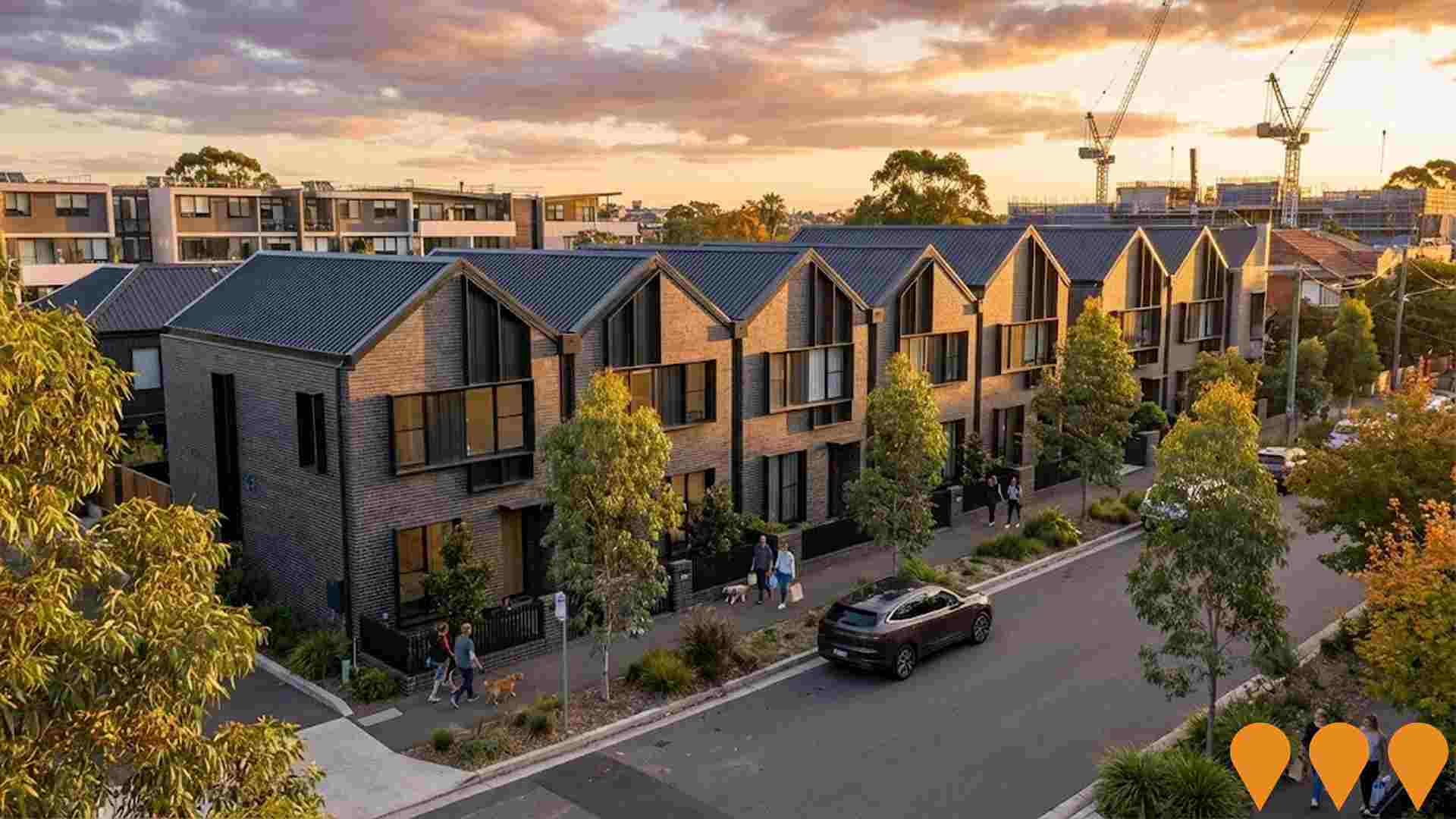
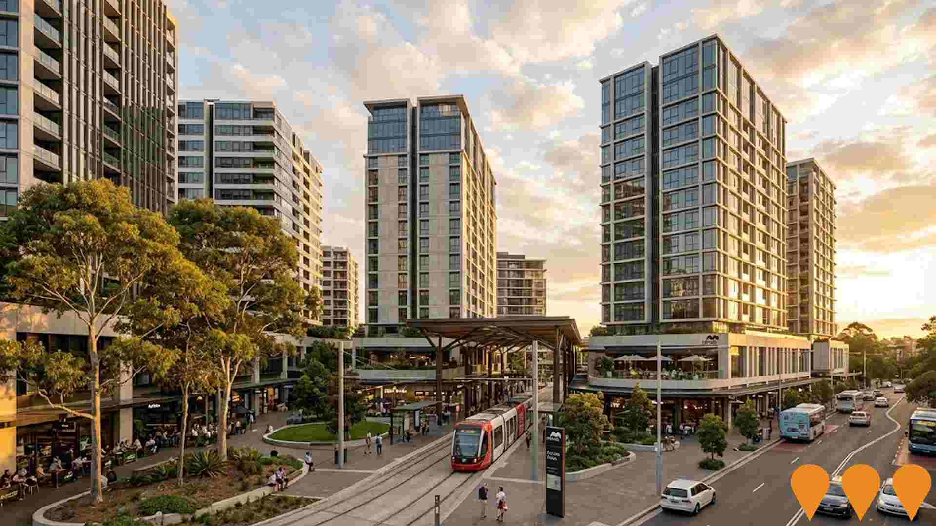
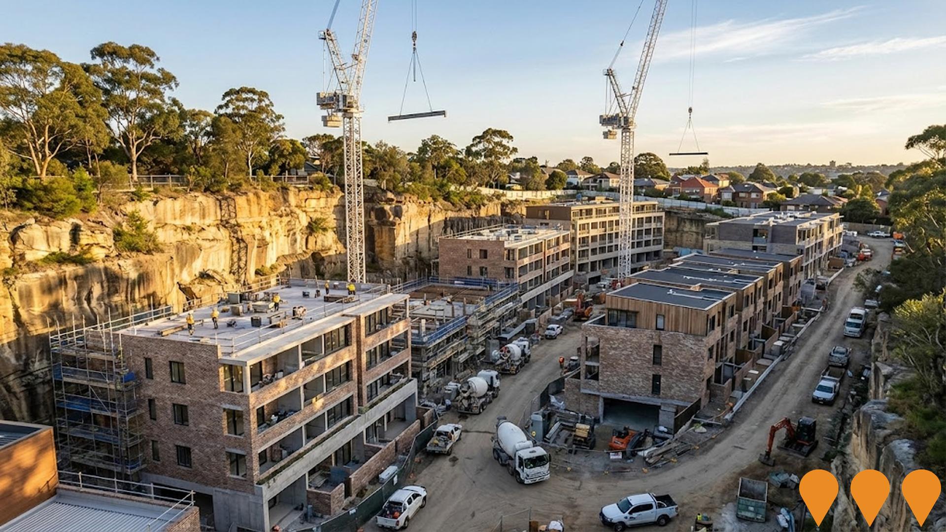
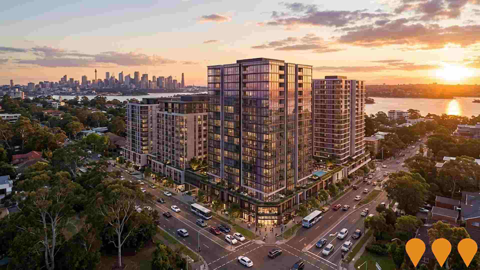
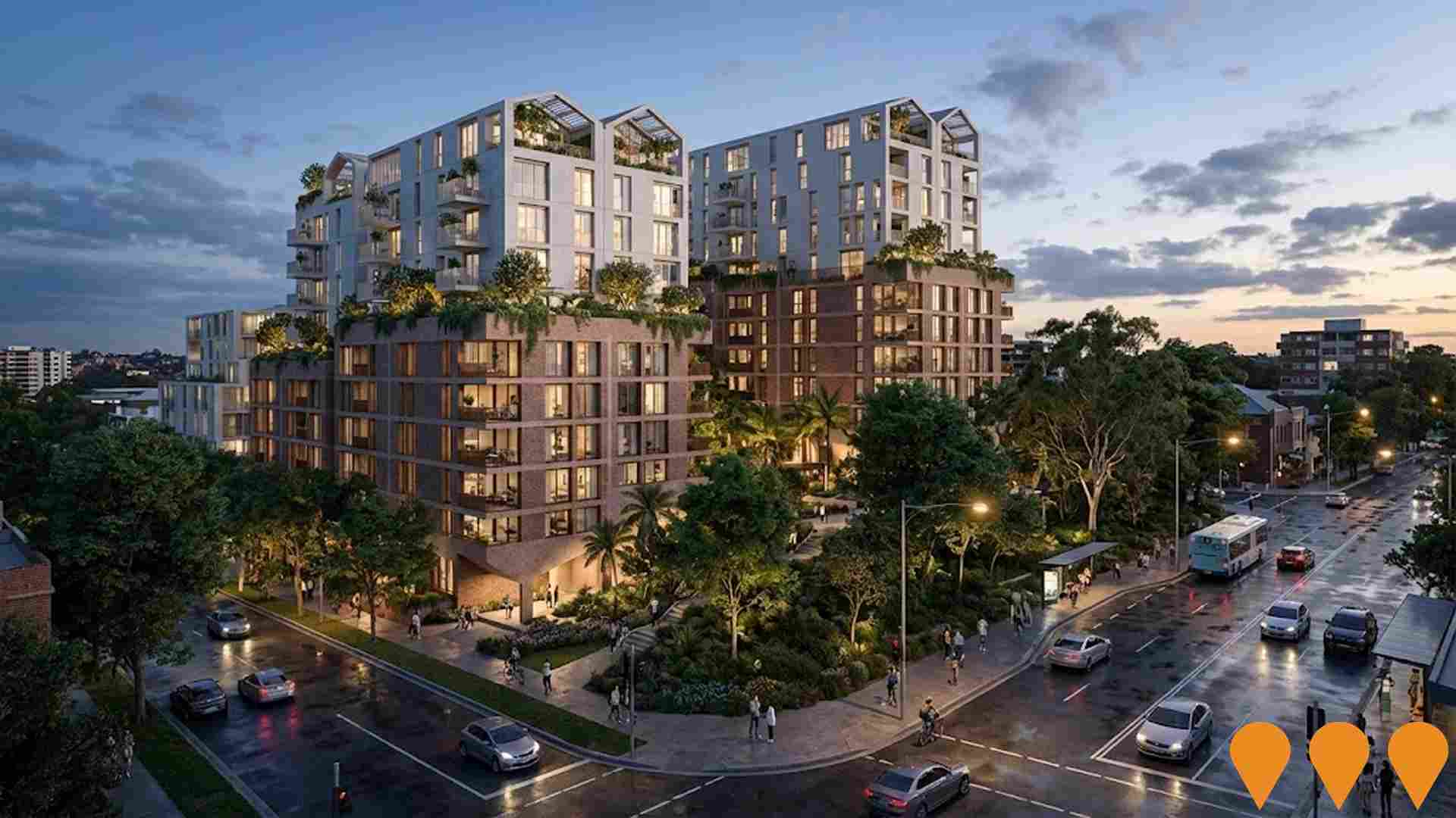
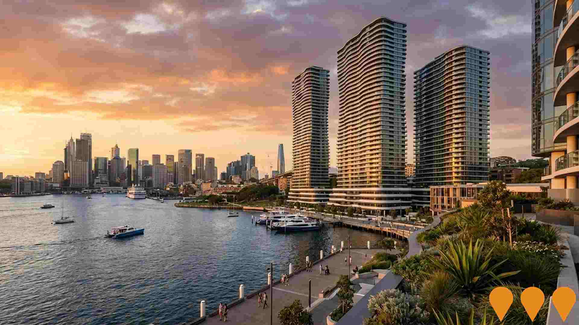
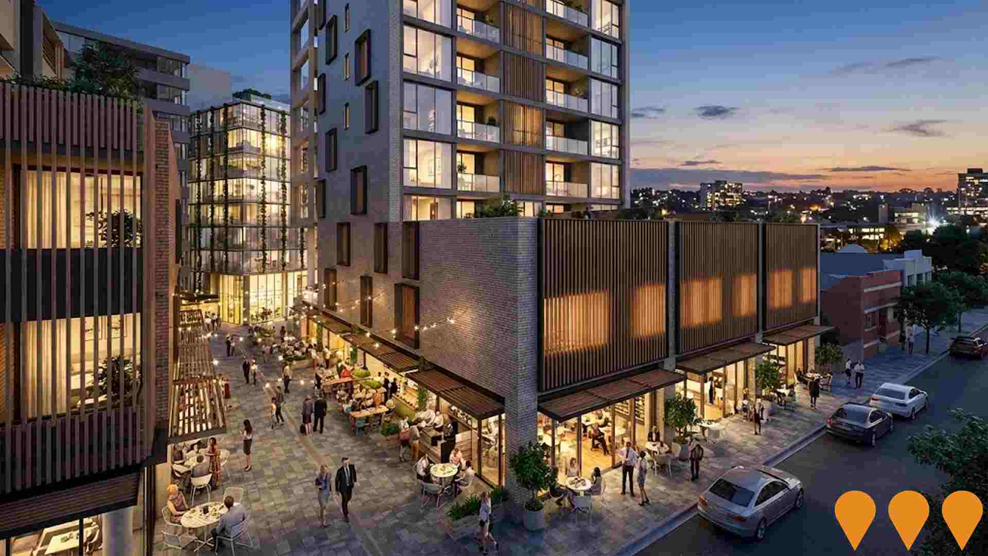
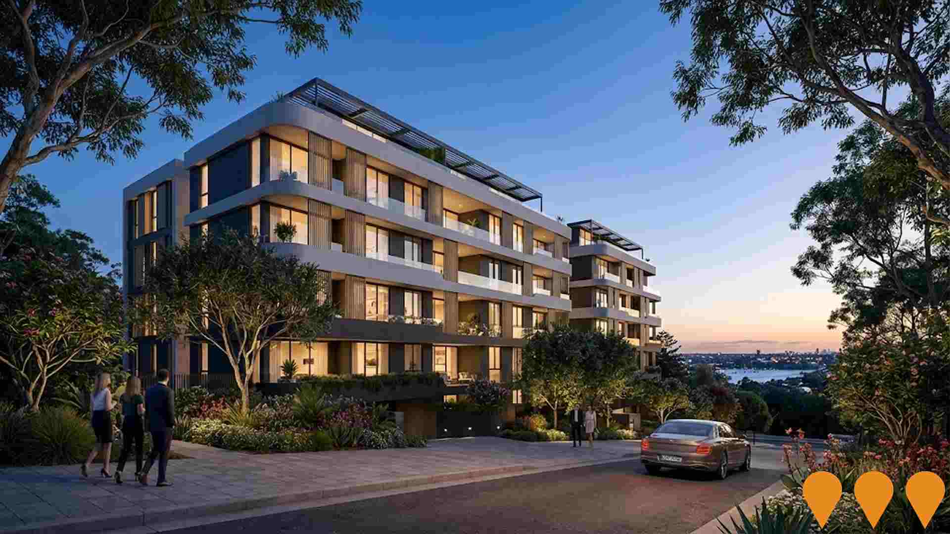
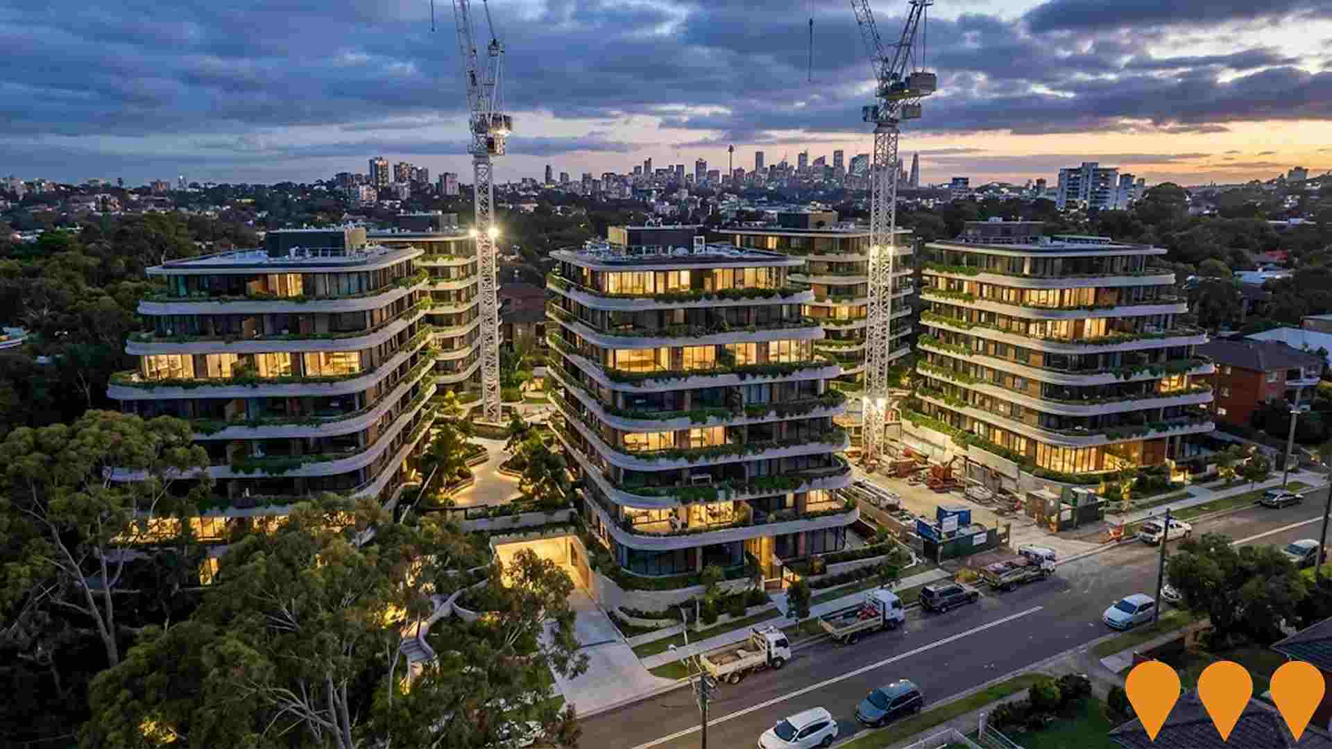
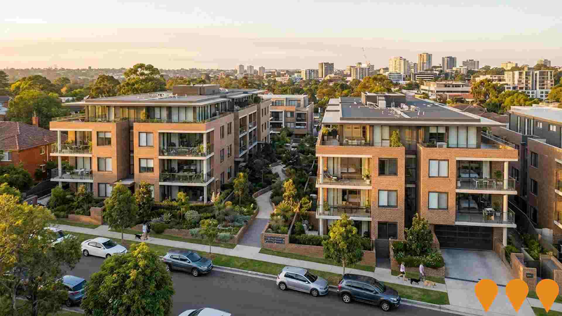
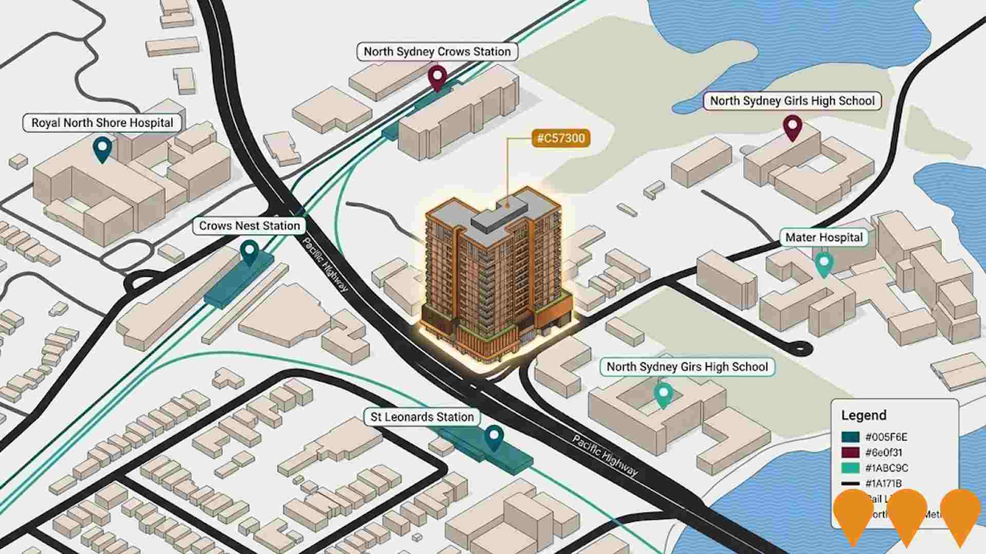
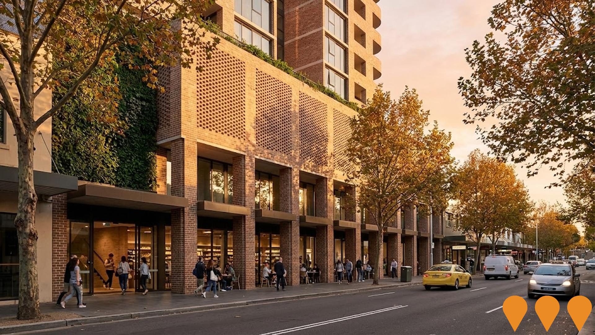
AI Generated Denotes AI-based impression for illustrative purposes only, not to be taken as definitive under any circumstances. Please follow links and conduct other investigations from the project's source for actual imagery. Developers and project owners wishing us to use original imagery please Contact Us and we will do so.

Frequently Asked Questions - Infrastructure

What are some of the major infrastructure and planning changes likely to influence the suburb of Greenwich?
Key infrastructure and planning changes likely to influence the suburb of Greenwich include: The Landmark Quarter St Leonards (Construction); St Leonards South Residential Precinct (Construction); Pacific Highway Corridor Upgrade (St Leonards Active Transport & Streetscape) (Planning); Western Harbour Tunnel and Warringah Freeway Upgrade (Construction); and Park Avenue Residences St Leonards (Construction). These projects represent significant developments that will shape the area's future infrastructure landscape.
What types of infrastructure projects are impacting the suburb of Greenwich?
Infrastructure development impacting the suburb of Greenwich spans multiple sectors including Residential Development, Communities, Precincts & Urban Renewal, and Transport & Logistics.
What is the scale of infrastructure investment impacting the suburb of Greenwich?
Infrastructure investment analysis indicates substantial capital deployment exceeding $15.7 billion in projects that will impact the extended area, with a notable concentration of investment within the immediate the suburb of Greenwich vicinity.
How does the suburb of Greenwich's infrastructure development compare to other areas?
The suburb of Greenwich ranks in the top 10% nationally for infrastructure development, reflecting exceptional investment activity compared to similar areas across the country.
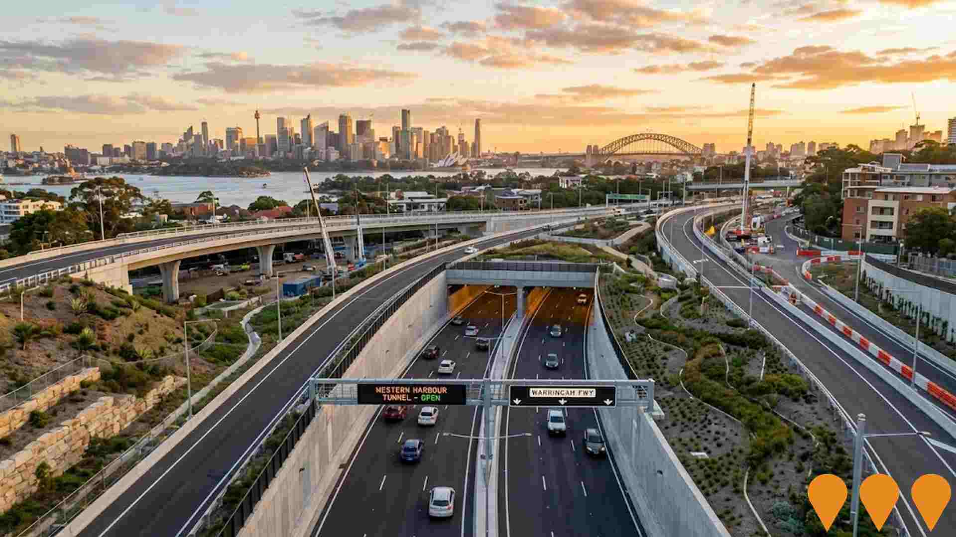
Western Harbour Tunnel and Warringah Freeway Upgrade
Category: Transport & Logistics
Stage: Construction | Est. Comp: 2028
Source / Links: Link 1   Link 2  

A major transport infrastructure project delivering a 6.5km dual three-lane tunnel under Sydney Harbour, connecting the Warringah Freeway at Cammeray to the Rozelle Interchange. The project creates a western bypass of the CBD to relieve congestion on the Sydney Harbour Bridge and Tunnel. Stage 1 (southern tunnels, Rozelle to Birchgrove) was completed in February 2025 by the John Holland and CPB Contractors joint venture. Stage 2, being delivered by ACCIONA, involves 4.8km of tunnelling from Birchgrove to Cammeray including under Sydney Harbour using tunnel boring machines, with TBM launch expected mid-2026.The Warringah Freeway Upgrade is over 70 per cent complete with surface road upgrades, bridges and ramps. The full project is due to open to traffic in 2028 and will remain in public ownership under NSW Motorways.
Transport & Logistics

Goodman Artarmon Data Centre
Category: Business Parks & Technology Hubs
Stage: Approved | Est. Comp: 2026

Major data centre development by Goodman Group on former ABC studios site. Seven-storey, 80MW facility on 1.4ha site with $845.85 million investment.

Business Parks & Technology Hubs

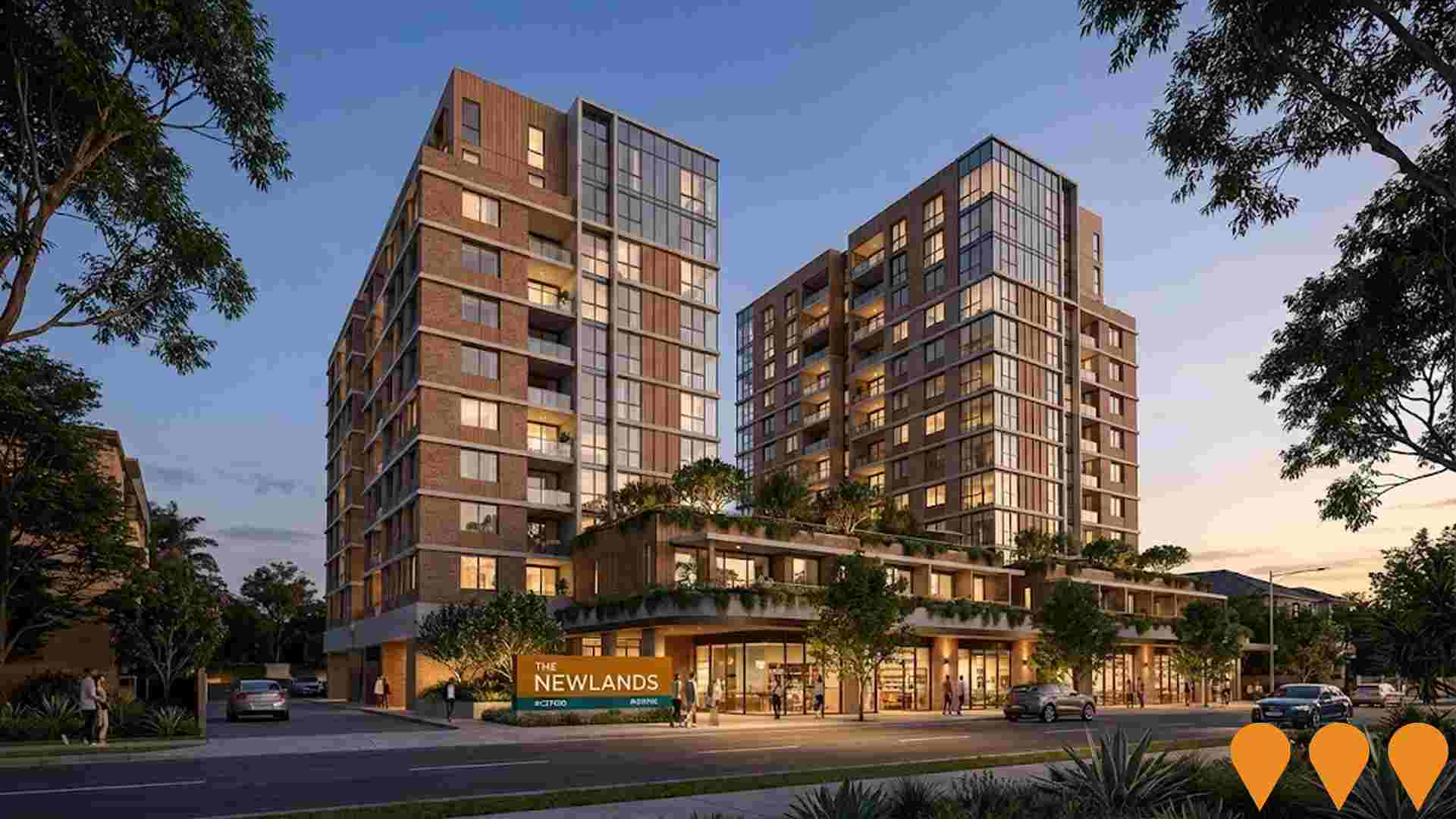
The Newlands by Eterno
Category: Communities
Stage: Construction | Est. Comp: 2026
Source / Links: Link 1   Link 2  

Eterno's $500 million masterplanned residential community spanning 1.26 hectares across five buildings (6 to 11 storeys) in St Leonards. The 330-apartment development includes one to four-bedroom apartments, garden terraces, and penthouses, centred around a landscaped Green Spine with open green spaces, rooftop amenities, a heated swimming pool, and wellness facilities. Designed by Bates Smart architects, built by DASCO, and fronted by Newlands Park.
Communities

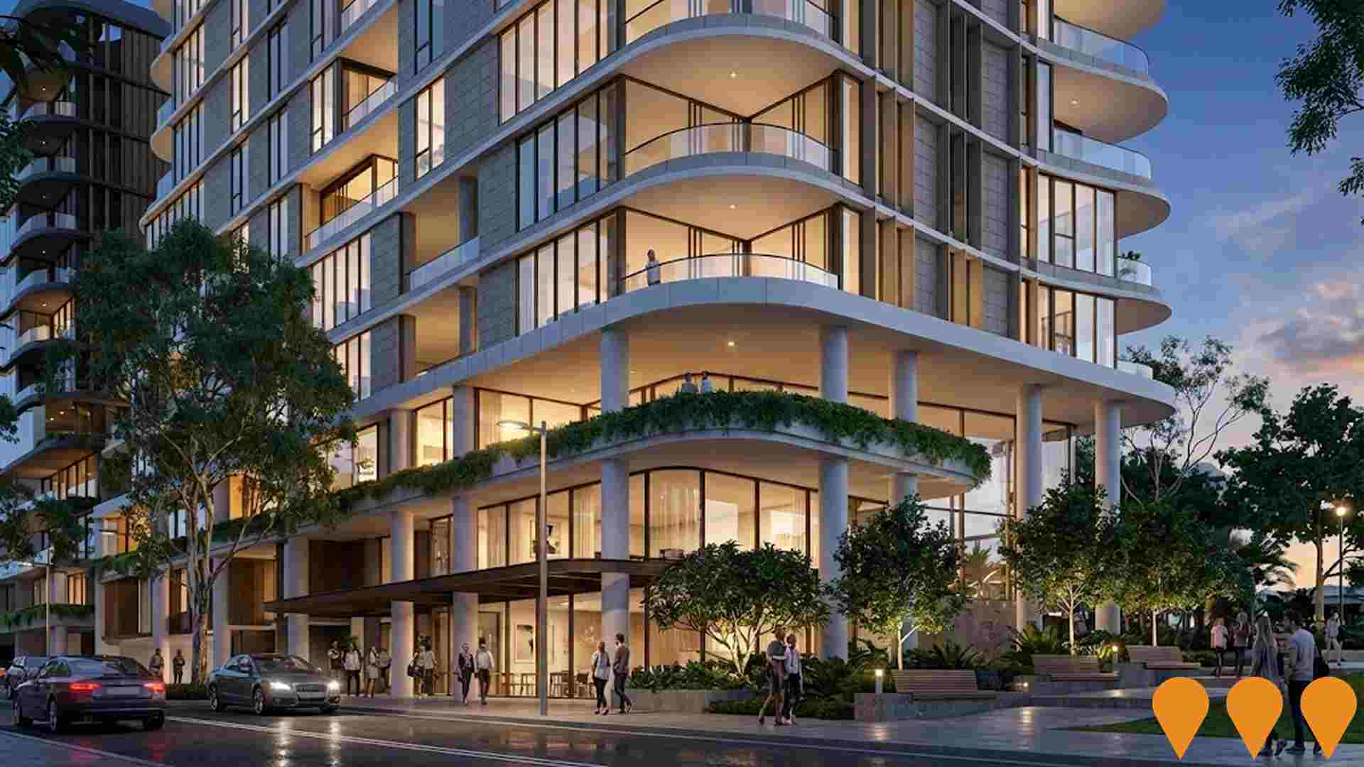
Areas 18-20 St Leonards South
Category: Residential Development
Stage: Approved | Est. Comp: 2027
Source / Links: Link 1   Link 2  

Residential development within the St Leonards South precinct, involving demolition of existing structures and construction of five residential flat buildings with 207 apartments, basement parking, and communal open space, contributing to urban renewal and increased housing density.
Residential Development

Falcon & Alexander (Five Ways)
Category: Communities
Stage: Construction | Est. Comp: 2027
Source / Links: Link 1   Link 2  

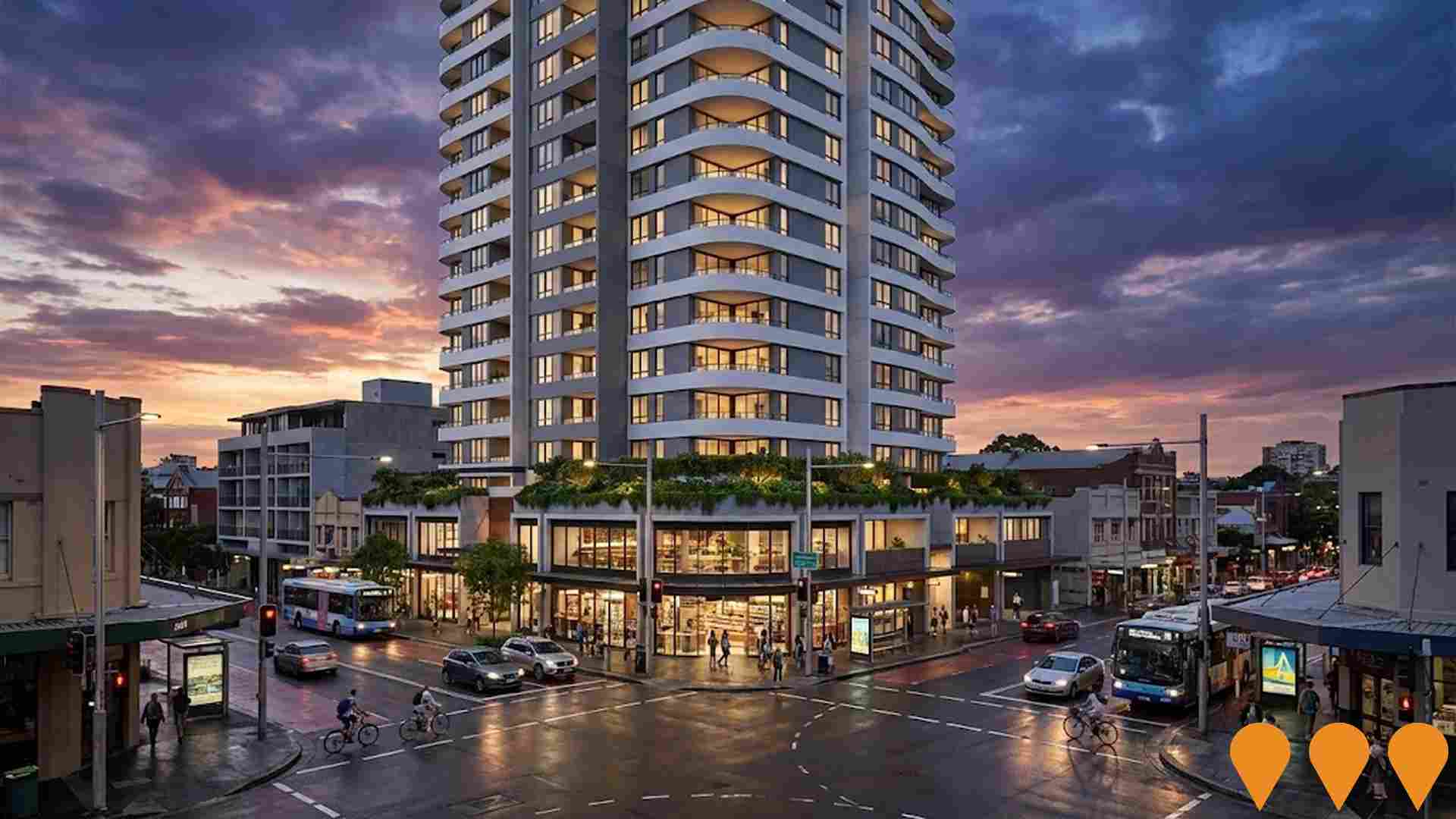
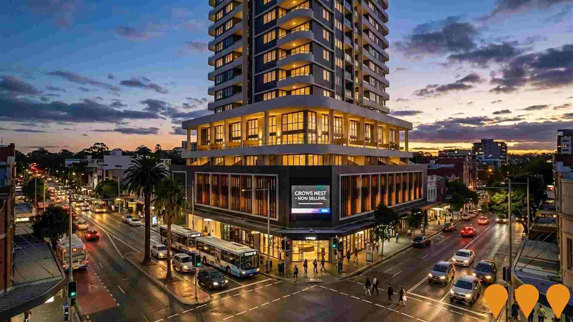
A $640 million, 22-storey mixed-use development at the Five Ways intersection in Crows Nest, comprising 188 apartments (140 market and 48 affordable housing), a 100-room boutique hotel, ground-floor retail and commercial premises within a 3-storey podium, and seven basement levels. Designed by Turner Studio, the project is located a five-minute walk from Crows Nest Metro Station. Approved by the NSW Independent Planning Commission (SSD-66826207) in December 2024, with construction commenced in 2025.
Communities

Broughton Street Residential Development
Category: Residential Development
Stage: Construction | Est. Comp: 2026
Source / Links: Link 1   Link 2  

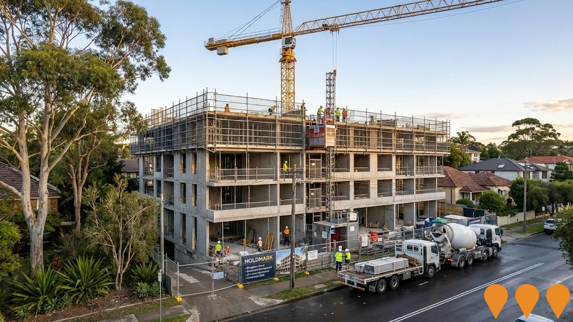
Construction of a boutique building of 28 luxury apartments at 33-39 Broughton Street, Wollstonecraft. The project is being delivered by Holdmark and remains in the construction phase with completion targeted for 2026.
Residential Development

Willoughby Square Stage 1 (507-509 Pacific Highway)
Category: Residential Development
Stage: Construction | Est. Comp: 2028
Source / Links: Link 1   Link 2  

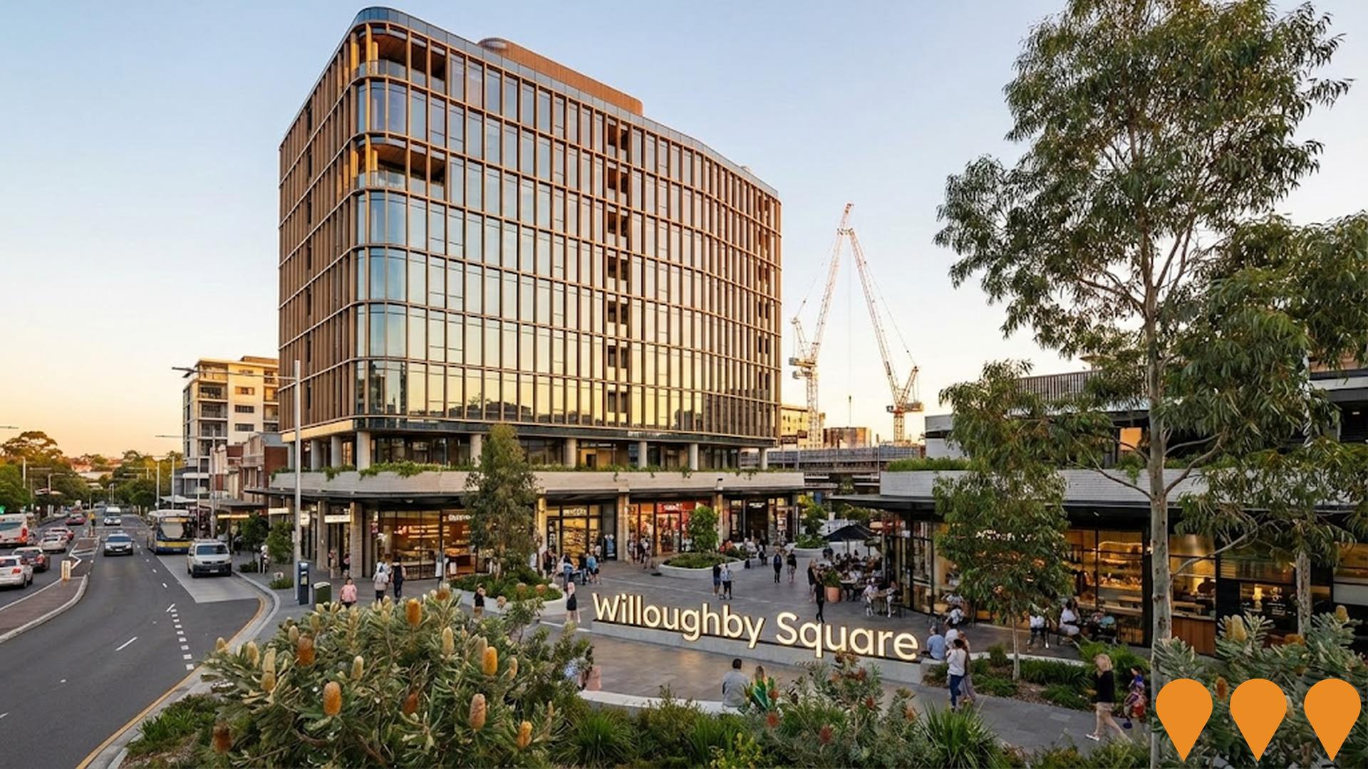
Major mixed-use residential tower forming the first stage of the Willoughby Square precinct. The project will deliver around 400 apartments together with retail, landscaped public domain improvements and new pedestrian connections adjacent to the St Leonards and Crows Nest renewal area. Following planning approval, the project has progressed into delivery and construction activities.
Residential Development

Falcon & Alexander, Crows Nest by Deicorp
Category: Communities
Stage: Construction | Est. Comp: 2028
Source / Links: Link 1   Link 2  

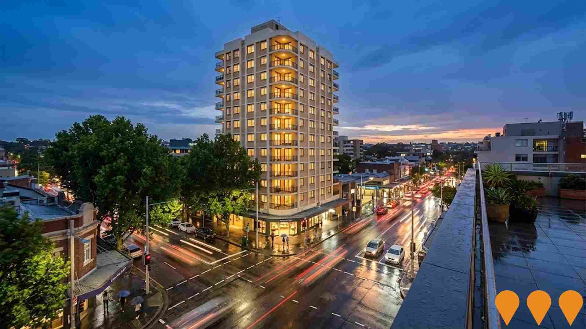
Deicorp's $640M landmark mixed-use development at the Five Ways junction in Crows Nest. The 22-storey building, designed by Turner Studio, delivers 188 apartments (48 affordable) above a 100-room boutique hotel, ground-floor retail and dining, a resident Skygarden, and seven basement levels of parking. Approved by the NSW IPC on 23 December 2024 and under construction, the project sits a five-minute walk from Crows Nest Metro Station.
Communities

Jobs & IndustryEmployment Trends in Greenwich

Table Chart PROFILE FAQ

3,412 residents of Greenwich are employed, from a labour force of 3,507. Unemployment sits at 2.7%, with participation at 69.7%. Weighted for its industry mix, the area's sectors are forecast to grow about 7.9% nationally over five years. That reflects industry composition only and makes no allowance for local population growth. The working-day population is estimated at 5,014, about 86% of the resident population, so more people leave the area for work than travel in. Unemployment and labour force come from ABS Small Area Labour Markets, updated quarterly; the industry and occupation profile is from the 2021 Census.

Detail

Greenwich features a workforce with high levels of tertiary education, particularly within the technology sector, alongside a very low unemployment rate of 2.7% and estimated job growth of 2.9% over the past year. As of March 2026, 3,412 residents are employed, with the unemployment rate tracking 1.4% below Greater Sydney's rate of 4.1%, while workforce participation is comparable to the Greater Sydney average of 69.1%. Census responses indicate that a high 61.1% of residents worked from home, although this should be evaluated in the context of COVID-19 lockdowns. The primary sectors of employment for local residents are professional & technical services, health care & social assistance, and finance & insurance.

The area shows a notable concentration in professional & technical services, with representation reaching 1.8 times the regional standard. Conversely, construction jobs are underrepresented, making up only 4.1% compared to the regional average of 8.6%. The highly residential character of the neighborhood means local employment opportunities are limited, as shown by comparing the census working population to the resident population. Based on analysis of SALM and ABS data for wider statistical areas, employment grew by 2.9% over the 12 months to March 2026, while the labour force expanded by 2.3%, leading to a decrease in unemployment by 0.6 percentage points. Over the same period in Greater Sydney, employment increased by 1.9%, the labour force grew by 1.9%, and the unemployment rate decreased marginally. National forecasts from Jobs and Skills Australia as of May-25 suggest future trends, indicating that national employment is projected to grow by 6.6% over five years and 13.7% over ten years, though rates vary by sector. Applying these industry projections to the local workforce mix suggests employment for Greenwich residents should grow by 7.9% over five years and 15.6% over ten years, using a simple weighting based on the current employment profile.

Frequently Asked Questions - Employment

What is the employment situation in the suburb of Greenwich?
As of March 2026, the suburb of Greenwich has approximately 3,412 employed residents with an unemployment rate of 2.7%. This very low unemployment rate indicates a tight labour market with strong demand for workers. The area ranks in the top 25% nationally for employment performance, indicating a robust job market.
How does the suburb of Greenwich's unemployment rate compare to the broader region?
As of March 2026, the unemployment rate in the suburb of Greenwich stands at 2.7%, which is 1.4 percentage points below Greater Sydney's rate of 4.1%. This lower unemployment rate suggests stronger local employment conditions. For comparison, the national unemployment rate is 4.2%.
What are the major employment sectors in the suburb of Greenwich?
The employment landscape in the suburb of Greenwich is dominated by several key sectors. The largest employers are professional & technical (20.4% of employment), health care & social assistance (16.9%), and finance & insurance (11.4%). Other significant employers include education & training and retail trade.
How has employment changed recently in the suburb of Greenwich?
Over the past year to March 2026, the suburb of Greenwich has experienced employment growth, with total employment increasing while the labour force increased. As a result, the unemployment rate has fall. By comparison, Greater Sydney saw employment increased and its unemployment rate dropped.
What is the workforce participation rate in the suburb of Greenwich?
The workforce participation rate in the suburb of Greenwich is 69.7%, which represents the proportion of working-age residents who are either employed or actively seeking work. This healthy participation rate reflects good employment opportunities and workforce engagement. The local rate leading the Greater Sydney average of 69.1%, showing similar workforce dynamics to the broader region.
Which industries are over-represented in the suburb of Greenwich's employment market?
The suburb of greenwich shows notable specialization in professional & technical, which employs 20.4% of the local workforce compared to 11.5% regionally. This concentration suggests the area has developed competitive advantages in this sector. The area also shows above-average employment in 2 other sectors, contributing to a distinctive economic profile.
What are the employment growth prospects for the suburb of Greenwich?
Based on Jobs and Skills Australia projections applied to the suburb of Greenwich's industry mix, employment is expected to grow by 7.9% over the next five years and 15.6% over ten years. This exceeds the national forecast of 6.6% over five years, suggesting the area's industry composition is well-positioned for future growth. Steady growth is anticipated across multiple sectors, providing diverse employment opportunities.
How does the job market in the suburb of Greenwich compare nationally?
The suburb of greenwich's employment market shows strong performance nationally, ranking in the top 25% of areas assessed by AreaSearch. This indicates robust employment conditions and economic vitality compared to other regions. Recent job advertisement trends show the broader employment region saw a 5.9% decline, ranking 29.0th out of 37 regions nationally.
What employment opportunities exist for skilled workers in the suburb of Greenwich?
Skilled workers will find excellent opportunities in the suburb of Greenwich, with knowledge-intensive sectors comprising 61.1% of local employment. Key sectors for skilled workers include professional & technical (20.4%), health care & social assistance (16.9%), and finance & insurance (11.4%). With projected employment growth of 7.9% over five years, demand for skilled workers is expected to remain strong.

EarningsHousehold Income in Greenwich

Table Chart PROFILE FAQ

Median household income in Greenwich is $2,946 a week (about $153,000 a year), with median personal income at $1,457 a week. ATO records put median taxable income at $77,917 a year against an average of $120,158. The average runs 54% above the median, a wider spread than most areas and a sign of a concentrated group of high earners. Household income is from the 2021 Census; taxable income is from ATO Taxation Statistics for the latest financial year available, indexed forward using the ABS Wage Price Index.

Detail

According to latest ATO figures aggregated for financial year 2023, the suburb of Greenwich ranks in the top percentile nationwide for income levels. Taxpayers in the suburb of Greenwich earn a median income of $77,917 and an average income of $120,158, compared to $60,817 and $83,003 in Greater Sydney. Factoring in Wage Price Index growth of 10.32% since financial year 2023, estimated figures for March 2026 stand at $85,958 for the median and $132,558 for the average. Census data confirms household, family, and personal incomes all place between the 96th and 97th percentiles nationally.

The largest earnings segment comprises 38.9% of taxpayers who receive over $4000 weekly (2,271 residents), which differs from the metropolitan area where the largest group, 30.9%, falls into the $1,500 - 2,999 range. A substantial 49.7% earn more than $3,000 weekly, reflecting high levels of affluence that support local businesses. Residents retain 87.1% of their income after meeting housing costs, showing strong discretionary spending power, and the area is positioned in the 10th decile of the SEIFA index.

Frequently Asked Questions - Income

What is the median taxable income in the suburb of Greenwich?
Based on Wage Price Index adjustments to March 2026, the estimated median taxable income in the suburb of Greenwich is approximately $85,958. The official ATO data from FY-23 recorded a median of $77,917.
What is the average taxable income in the suburb of Greenwich?
Based on Wage Price Index adjustments to March 2026, the estimated average taxable income in the suburb of Greenwich is approximately $132,558. The official ATO data from FY-23 recorded an average of $120,158.
How does the median taxable income in the suburb of Greenwich compare to the region?
Based on Wage Price Index adjustments to March 2026, the estimated median taxable income in the suburb of Greenwich is approximately $85,958 compared to $67,093 in Greater Sydney. The official ATO data from FY-23 shows $77,917 and $60,817 respectively.
How does the average taxable income in the suburb of Greenwich compare to the region?
Based on Wage Price Index adjustments to March 2026, the estimated average taxable income in the suburb of Greenwich is approximately $132,558 compared to $91,569 in Greater Sydney. The official ATO data from FY-23 shows $120,158 and $83,003 respectively.
What are the main income cohorts in the suburb of Greenwich according to the 2021 Census?
As per the 2021 Census, the income bracket containing the largest proportion (~38.9% / 2,271 persons) of the suburb of Greenwich's population is the $4000+ cohort.
How do the main income cohorts in the suburb of Greenwich compare to the region?
The largest income cohort in the suburb of Greenwich is the $4000+ group, representing about 38.9% of the population. In comparison, Greater Sydney's largest income cohort is the $1,500 - 2,999 group, representing 30.9% of its population, according to the 2021 Census.
What is the median household income in the suburb of Greenwich according to the 2021 Census?
The 2021 Census data indicates that the median household income in the suburb of Greenwich is $2,946/wk.
What is the median family income in the suburb of Greenwich according to the 2021 Census?
According to the 2021 Census, the median family income in the suburb of Greenwich is $4,034/wk.
What is the median personal income in the suburb of Greenwich according to the 2021 Census?
The 2021 Census shows that the median personal income in the suburb of Greenwich is $1,457/wk.
How does the suburb of Greenwich's income rank nationally?
According to AreaSearch's aggregation of the latest postcode level ATO data released for FY-23, the suburb of Greenwich had a median income among taxpayers of $77,917 with the average level standing at $120,158. This is among the top percentile nationally and compares to levels of $60,817 and $83,003 across Greater Sydney respectively. Based on Wage Price Index growth of 10.32% since FY-23, current estimates would be approximately $85,958 (median) and $132,558 (average) as of March 2026.
What is the disposable income in the suburb of Greenwich?
The estimated disposable income in the suburb of Greenwich is $11,113 per year according to AreaSearch analysis.
How does the suburb of Greenwich's disposable income compare to the region?
The suburb of greenwich's disposable income is $11,113 compared to $7,412 for Greater Sydney, based on AreaSearch analysis.

Housing StockHousing & Dwellings in Greenwich

Table Chart PROFILE FAQ

Greenwich had 2,128 occupied dwellings at the 2021 Census, 51% detached houses and 44% apartments. 30% are owned with a mortgage, 32% rented and 38% owned outright. At that Census the median rent was $550 a week and the median mortgage repayment $3,000 a month, a total housing cost higher than 89% of areas nationally. Rent absorbs 18.7% of household income here and mortgage repayments 23.5%. Dwelling stock, tenure and housing costs are 2021 Census measures — the only source that counts dwellings at this boundary size.

Detail

The dwelling landscape in Greenwich at the time of the latest Census consisted of 50.5% standalone houses and 49.5% other housing types, including apartments and townhouses, compared to 55.9% houses and 44.1% other dwellings across Greater Sydney. Home ownership stood at 38.2%, which is higher than the metropolitan average, while mortgaged properties accounted for 29.6% and rented properties made up 32.1%. The median monthly mortgage payment was $3,000, and the median weekly rent was $550, compared to regional averages of $2,427 and $470. On a national level, monthly mortgage payments exceed the Australian median of $1,863, and weekly rents are higher than the national median of $375.

Frequently Asked Questions - Housing

What percentage of homes are owned vs rented in the suburb of Greenwich?
In the suburb of Greenwich, 38.2% of homes are owned outright, 29.6% are owned with a mortgage, and 32.1% are rented.
What percentage of dwellings in the suburb of Greenwich are houses?
According to the latest data, 50.5% of dwellings in the suburb of Greenwich are houses.
What percentage of dwellings in the suburb of Greenwich are apartments or units?
In the suburb of Greenwich, 43.8% of dwellings are apartments or units, with an additional 5.7% being semi-detached dwellings.
What is the level of outright home ownership in the suburb of Greenwich?
Outright home ownership in the suburb of Greenwich stands at 38.2%, compared to 28.7% in Greater Sydney.
What is the median monthly mortgage repayment in the suburb of Greenwich?
The median monthly mortgage repayment in the suburb of Greenwich is $3,000, compared to $2,427 in Greater Sydney.
What is the median weekly rent in the suburb of Greenwich?
The median weekly rent in the suburb of Greenwich is $550, compared to $470 in Greater Sydney.
What is the distribution of rental prices in the suburb of Greenwich?
In the suburb of Greenwich, 1.8% of rentals are $0-149/week, 9.3% are $150-349/week, 55.6% are $350-649/week, 19.8% are $650-949/week, and 13.4% are $950+/week.
What is the average monthly housing cost in the suburb of Greenwich?
The aggregate monthly housing cost in the suburb of Greenwich is $1,653, which represents the average monthly cost across all housing types.
What percentage of income do residents spend on housing in the suburb of Greenwich?
In the suburb of Greenwich, households with mortgages typically spend 23.5% of their income on mortgage repayments, while renters spend 18.7% of their income on rent.
How crowded are homes in the suburb of Greenwich?
The average persons per bedroom ratio in the suburb of Greenwich is 0.9, indicating the level of household density.
How does housing affordability in the suburb of Greenwich compare to the region?
Housing affordability in the suburb of Greenwich shows mortgage holders spending 23.5% of income on repayments (vs 27.0% regionally), while renters spend 18.7% of income on rent (vs 22.6% regionally).
What types of dwellings are most common in the suburb of Greenwich?
The dwelling mix in the suburb of Greenwich consists of 50.5% detached houses, 5.7% semi-detached dwellings, 43.8% apartments, and 0.0% other dwelling types.
What is the weighted average housing cost based on tenure mix in the suburb of Greenwich?
Considering the housing occupancy patterns, the weighted average monthly housing cost is approximately $1,652. This accounts for outright owners paying no housing costs, mortgage holders paying $3,000/month, and renters paying $2,382/month.
How affordable is housing in the suburb of Greenwich relative to local incomes?
Housing in Greenwich consumes approximately 13.0% of median household income ($12,756 monthly), indicating costs are highly affordable. The generally accepted benchmark is that housing should not exceed 30% of household income.
How do proposed developments compare to existing housing types in the suburb of Greenwich?
Recent development applications in Greenwich show attached dwellings contributing 86% of approvals compared to 50% of existing stock, while detached houses represent 14% of applications versus 50% of current dwellings. This suggests increasing densification. Greenwich is experiencing exceptional growth in housing density, ranking in the top 10% nationally.

HouseholdsHousehold Composition in Greenwich

Table Chart PROFILE FAQ

Greenwich counted 2,128 households at the 2021 Census, an estimated 2,272 today, averaging 2.4 people each. 32% are couples with children, against 28% couples without children. 28% of households are people living alone, and families average 1.4 children. Household and family composition is measured only by the Census, so these are 2021 figures.

Detail

Families make up the majority of households at 68.0%, consisting of couples with children at 32.2%, couples without children at 28.3%, and single-parent households at 6.5%. Single-person households comprise 27.7% of the total, while group households account for 4.5%, making up the remaining 32.0% of non-family households. The median household size is 2.4 residents, which is smaller than the Greater Sydney average of 2.7.

Frequently Asked Questions - Households

How many households are in the suburb of Greenwich?
As of the 2021 Census, the suburb of Greenwich had 2,128 households. Based on population growth patterns, this has grown by approximately 6.8% to an estimated 2,272 households today.
What is the typical household size?
The median household size in the suburb of Greenwich is 2.4 people. This compares to 2.7 in Greater Sydney and reflects the area's household composition mix.
What types of households are most common?
Family households dominate at 68.0% of all households. The remaining households consist of lone person households (27.7%), group households (4.5%), and other household types (0.0%).
How are families structured in the area?
Among the 1,447 family households, 32.2% are couples with children, 28.3% are couples without children at home, and 6.5% are single parent families. This mix shapes local demand for schools, family services, and housing types.
How does the suburb of Greenwich compare to regional household patterns?
Compared to Greater Sydney, the suburb of Greenwich shows distinct household patterns. This higher proportion of single-person households drives demand for smaller dwellings and different community services.
What is the average family size?
Families in the suburb of Greenwich have an average of 1.4 children, slightly below the Greater Sydney average of 1.5. This influences local demand for child-related services and larger family homes.
What are the marriage patterns in the suburb of Greenwich?
Marriage patterns reveal 50.0% of the adult population are currently married, while 34.7% have never married. This compares to 48.3% married and 36.4% never married across Greater Sydney.
How significant are single-person households?
Single-person households represent 27.7% of all households in the suburb of Greenwich, similar to the regional average of 23.2%. This affects demand for smaller dwellings and single-person accommodation.
Are shared living arrangements common?
Group households (unrelated people sharing) account for 4.5% of households, well below the Greater Sydney average of 4.2%. This low rate suggests limited student or young professional shared accommodation.
Loading household composition data...

EducationSchools & Education in Greenwich

Table Chart PROFILE FAQ

63.9% of adults in Greenwich hold a university qualification, including 38.5% with a bachelor degree and 21.5% with postgraduate qualifications, higher than 94% of areas nationally. A further 7.1% hold a vocational qualification. 1 school serves the area, with 428 enrolment places and an average ICSEA of 1,168 against a national benchmark of 1,000. Qualifications come from the 2021 Census; school enrolments, ICSEA and results come from ACARA's current release.

Detail

Academic achievement in Greenwich is high, with 63.9% of residents aged 15+ holding university degrees, compared to 30.4% nationally and 32.2% across NSW. Bachelor degrees are held by 38.5% of the population, followed by postgraduate qualifications at 21.5% and graduate diplomas at 3.9%. Vocational qualifications are held by 16.3% of residents aged 15+, consisting of advanced diplomas at 9.2% and certificates at 7.1%. Enrolment in education is high, with 29.8% of the population active in formal studies. This is comprised of 9.2% of residents in primary school, 8.2% in tertiary institutions, and 7.7% in secondary school.

Frequently Asked Questions - Education

What percentage of people in the suburb of Greenwich have university qualifications?
63.9% of people aged 15 and over in the suburb of Greenwich have university qualifications, compared to 38.0% in the broader region.
What percentage of people in the suburb of Greenwich have no formal qualifications?
19.7% of people aged 15 and over in the suburb of Greenwich have no formal qualifications, compared to 34.2% regionally.
How does the suburb of Greenwich's education level compare to national averages?
The suburb of greenwich ranks in the 94th percentile nationally for education based on AreaSearch's analysis of qualification and performance metrics.
What types of qualifications are most common in the suburb of Greenwich?
The most common qualifications in the suburb of Greenwich are: Bachelor Degree (38.5%), Postgraduate (21.5%), Advanced Diploma (9.2%).
What proportion of the suburb of Greenwich's population is currently attending educational institutions?
29.8% of the population in the suburb of Greenwich is currently engaged in formal education, with 9.2% in primary school, 7.7% in secondary school, 8.2% at university.
What is the ICSEA score for schools in the suburb of Greenwich?
The average ICSEA (Index of Community Socio-Educational Advantage) score for schools in the suburb of Greenwich is 1168, indicating above-average socio-educational advantage compared to the national average of 1000.
How many schools are located within the suburb of Greenwich?
There are 1 schools within the suburb of Greenwich, with a combined enrollment of approximately 428 students.
What types of schools are available in the suburb of Greenwich?
The suburb of greenwich includes 1 primary school.

Schools Detail

AmenitiesServices & Amenities in Greenwich

PROFILE FAQ
Explore the surrounds Search this catchment for any place type — schools, cafés, supermarkets, transport — and drop your own custom points on the map.
Open

Getting AroundTransport & Commuting in Greenwich

Table Chart PROFILE FAQ

Public transport in Greenwich reaches 63 stops on 33 routes, timetabled for about 5,700 services a week. The typical home sits about 90 m from its nearest stop. Buses carry the largest share of public transport commuters. Households keep an average of 1.0 vehicles. Stop and service counts are built from operators' published GTFS timetables and refresh with each timetable release; vehicle ownership is from the 2021 Census.

Detail

A network of 63 public transport stops, including ferry and bus options, operates in Greenwich. These stops service 33 distinct routes, providing a total of 5,655 passenger trips each week. The average distance to the nearest transport stop is 91 meters. The majority of residents commute outside the area, with 61% traveling by car, 17% walking, and 10% using the train. Vehicle ownership averages 1.0 per household. A total of 61.1% of residents worked from home according to the 2021 Census. Public transport services average 807 trips per day across all routes, which corresponds to approximately 89 weekly trips per stop.

Frequently Asked Questions - Transport

How many public transport stops are in Greenwich?
There are 63 public transport stops within the suburb of Greenwich.
How frequent are the transport services in Greenwich?
the suburb of Greenwich has 5,655 weekly trips across 33 routes, averaging 807 trips per day.
How far are residents from public transport in Greenwich?
On average, residential properties are 91 meters from the nearest transport stop.

Transport Stops Detail

HealthcareHealth Services in Greenwich

Table Chart PROFILE FAQ

74.1% of residents in Greenwich report no long-term health condition, a healthier profile than 91% of areas nationally. 2.8% need daily assistance with core activities, and 74.2% hold private health cover. The standardised death rate runs at 4.4 per 1,000 residents. Health conditions, assistance needs and insurance are 2021 Census measures; the death rate comes from current ABS releases.

Detail

Greenwich demonstrates positive health outcomes, with low mortality rates and a low prevalence of chronic conditions across all age groups. Private health insurance coverage is high, with approximately 74% of the population (4,334 people) covered, compared to 59.9% in Greater Sydney and a national average of 55.7%. Asthma and arthritis are the most common chronic conditions, affecting 6.8% and 6.5% of residents, respectively. A total of 74.1% of the population reported no long-term medical conditions, compared to 74.6% in Greater Sydney. Residents aged 65 and over make up 21.9% of the population (1,278 people), which is higher than the Greater Sydney average of 15.5%, and health outcomes for seniors rank high nationally.

Frequently Asked Questions - Health

How many people in the suburb of Greenwich have private health insurance?
Around 74.2% of people in the suburb of Greenwich are covered by private health insurance, which compares to 59.9% in the broader region of Greater Sydney.
What percentage of the population requires ongoing medical assistance in the suburb of Greenwich?
In the suburb of Greenwich, 2.8% of the population is identified as requiring ongoing medical assistance. This figure is slightly different from the regional average, where 5.2% of people in Greater Sydney require similar assistance.
How prevalent is asthma in the suburb of Greenwich?
6.8% of people in the suburb of Greenwich are diagnosed with asthma. In comparison, 6.4% of the population across Greater Sydney is affected by asthma.
What percentage of people have diabetes in the suburb of Greenwich?
Diabetes affects 2.4% of the the suburb of Greenwich population, while in the surrounding region, 4.3% of people are diagnosed with diabetes.
What is the percentage of people with heart disease in the suburb of Greenwich?
3.4% of people in the suburb of Greenwich have heart disease. Across the region of Greater Sydney, 3.2% of the population is affected by heart disease.
How does the suburb of Greenwich compare to the region in terms of overall private health coverage?
In the suburb of Greenwich, 74.2% of the population are estimated to have private health insurance. Comparatively, Greater Sydney sees an estimated private health coverage rate of 59.9%.

Ancestry & LanguageCultural Diversity in Greenwich

Table Chart PROFILE FAQ

35.2% of Greenwich residents were born overseas and 20.0% speak a language other than English at home. The largest reported ancestries are English (24.4%) and Australian (20.0%). Ancestry, language and country of birth are counted only by the Census, so these are 2021 figures.

Detail

Greenwich displays cultural diversity, with 20.0% of residents speaking a language other than English at home and 35.2% born outside of Australia. Christianity is the most common religious affiliation, represented by 44.9% of the population, while Judaism shows a higher representation at 1.0% compared to the Greater Sydney average of 0.8%. The top ancestries reported are English at 24.4% of the population, compared to a regional average of 19.0%, followed by Australian ancestry at 20.0%, and other ancestries at 11.0%, which is lower than the metropolitan average of 16.0%. Specific European ancestries show higher representation than the regional average, with French ancestry at 1.1% compared to 0.5%, Hungarian at 0.4% compared to 0.3%, and New Zealand ancestry at 1.0% compared to 0.5%.

Frequently Asked Questions - Diversity

What is the level of cultural diversity in the suburb of Greenwich?
Greenwich was found to be more culturally diverse than the vast majority of local markets, with 20.0% of its population speaking a language other than English at home and 35.2% born overseas.
What is the most common religion in the suburb of Greenwich?
The main religion in Greenwich was found to be Christianity, which makes up 44.9% of people in Greenwich. However, the most apparent overrepresentation was in Judaism, which comprises 1.0% of the population, compared to 0.8% across Greater Sydney.
What are the top countries of origin in the suburb of Greenwich?
In terms of ancestry (country of birth of parents), the top three represented groups in Greenwich are English, comprising 24.4% of the population, which is substantially higher than the regional average of 19.0%, Australian, comprising 20.0% of the population, and Other, comprising 11.0% of the population, which is notably lower than the regional average of 16.0%. Additionally, there are notable divergences in the representation of certain other ethnic groups: French is notably overrepresented at 1.1% of Greenwich (vs 0.5% regionally), Hungarian at 0.4% (vs 0.3%) and New Zealand at 1.0% (vs 0.5%).
How does the percentage of people born overseas compare to the regional average?
35.2% of the the suburb of Greenwich population was born overseas, compared to 40.5% regionally.
What percentage of the the suburb of Greenwich population speaks a language other than English at home?
20.0% of the population in the suburb of Greenwich speaks a language other than English at home, compared to 39.5% in the wider region.
How many people in the suburb of Greenwich identify as Australian Aboriginal?
0.2% of the the suburb of Greenwich population identifies as Australian Aboriginal, compared to 1.3% in the region.
What is the citizenship status of the population in the suburb of Greenwich?
85.6% of the the suburb of Greenwich population holds citizenship, compared to 80.8% in the wider region.

Age StructureAge Profile of Greenwich

Table Chart PROFILE FAQ

The median resident of Greenwich is 42. 26.1% of residents are aged 15 to 34. Age cohorts are not raw Census counts: the Census split is re-based to the latest ABS population estimates and state projections.

Detail

The median age of 42 years in Greenwich is higher than the Greater Sydney average of 37 and the national average of 38. The 75 - 84 age cohort represents 8.0% of the population, while the 25 - 34 age cohort is lower at 13.2%. Since the 2021 Census, the 15 to 24 age bracket has increased from 11.0% to 12.9% of the population, and the 75 to 84 cohort grew from 6.6% to 8.0%, while the 5 to 14 cohort declined from 12.0% to 9.8% and the 45 to 54 cohort fell from 14.2% to 12.6%.

By 2041, the 45 to 54 age group is projected to increase by 37% (275 people) to reach 1,011 from 735, and residents aged 65 and over are expected to account for 55% of total population growth, while the 0 to 4 and 5 to 14 age cohorts are projected to decline.

Frequently Asked Questions - Age

What is the median age in the suburb of Greenwich?
According to the latest data, the median age in the suburb of Greenwich is 42 years.
How does the suburb of Greenwich's median age compare to broader areas?
At 42 years, Greenwich is 5 years older than the Greater Sydney average (37 years) and 4 years older than the national average (38 years).
What age groups are over-represented in the suburb of Greenwich?
The most over-represented age group in the suburb of Greenwich compared to the Greater Sydney region is the 75 - 84 group, making up 8.0% of the population.
What age groups are under-represented in the suburb of Greenwich?
The most under-represented age group in the suburb of Greenwich compared to the Greater Sydney region is the 25 - 34 group, making up 13.2% of the population.
Are there age groups with notable population variances?
Yes, certain age groups in the suburb of Greenwich show significant variance compared to the Greater Sydney region. The most over-represented age groups are 85+ year-olds (3.8% vs 2.1%) and 75-84 year-olds (8.0% vs 5.3%).
What is the percentage of children (0-14 years) in the suburb of Greenwich?
The percentage of children aged 0-14 years in the suburb of Greenwich is 14.2%.
What is the percentage of older people (65+ years) in the suburb of Greenwich?
The percentage of people aged 65 and over in the suburb of Greenwich is 21.9%.

Data & MethodBoundaries, Sources & Method for Greenwich

Data currency Refreshed

9 of 14 data sections on this page were updated within the last 12 months — the newest current to Aug 2026.

Everything is aggregated to the Suburb (SAL) boundary shown above, on a 2021 Census baseline. Only 3 sections — housing, households and cultural diversity — still wait on the 2026 Census.

The ledger — source, cycle and currency by section

Section Source & update cycle Currency
Updated within the last 12 months 9 sections
Population ABS, GNAF, Geoscience Australia Annual (ABS ERP) May 2026 3 months ago headline measures · 2021 Census baseline
Re-based to the ABS Estimated Resident Population (June 2025 release) and updated with new dwellings from GNAF address data. Current to May 2026, with the 2021 Census supplying the small-area baseline.
Age profile ABS, Geoscience Australia, State governments Annual May 2026 3 months ago headline measures · 2021 Census baseline
Age cohorts are re-based to the latest ABS population estimates and state projections, current to May 2026. Each cohort is held as a Census baseline and a current estimate.
Development & approvals ABS, GNAF Monthly (ABS approvals) Jun 2026 2 months ago headline measures · May 2026 baseline
Property sales & rents Valuer General, Rental Board, ABS Weekly sales, quarterly rents Aug 2026 this month all 21 measures
Sales from the state Valuer General register, refreshed weekly, and rents from quarterly rental bond lodgements. Both are read live each time this page loads, current to Aug 2026.
Infrastructure projects Infrastructure Australia, Local governments Daily May 2026 3 months ago all 2 projects tracked here
Project pipeline maintained continuously from Infrastructure Australia, state agencies, local government and public announcements. Records are added and revised daily; this area was last updated May 2026.
Employment ABS, DEWR, JSA Quarterly (ABS SALM) Mar 2026 5 months ago headline measures · 2021 Census baseline
Unemployment and labour force from ABS Small Area Labour Markets, current to Mar 2026. The growth outlook applies Department of Employment (now Jobs and Skills Australia) forecasts for all 19 industry divisions to the local industry mix, so it measures sector composition rather than local expansion and makes no allowance for population growth. Job demand comes from the same agency via its Internet Vacancy Index; industry and occupation structure from the 2021 Census.
Education ABS, ACARA Annual (ACARA) Aug 2026 this month headline measures · 2021 Census baseline
Transport ABS, State Transport Departments Each timetable release Jul 2026 last month headline measures · 2021 Census baseline
Services & amenities Provider directories, ACECQA Continuous Jul 2026 last month all 14 measures
Annual and financial-year sources 2 sections
Income ABS, ATO Annual (ATO) FY 2023 3 years ago headline measures · 2021 Census baseline
ATO taxable income statistics for FY 2023, indexed forward using the Wage Price Index. Census household income provides the distribution detail.
Health ABS, ATO Annual 2024 2 years ago headline measures · 2021 Census baseline
Census-measured — next update: 2026 Census 3 sections No more current small-area source exists for these, so they are labelled as Census-measured rather than implied to be current.
Housing ABS 5-yearly (Census) 2021 Census next update 2026 all 30 measures
Households ABS 5-yearly (Census) 2021 Census next update 2026 all 18 measures
Cultural diversity ABS, Geoscience Australia 5-yearly (Census) 2021 Census next update 2026 all 44 measures

"Currency" is the most recent release feeding that section. Where the Census supplies the structural baseline underneath a current headline figure, the row says so.

How the numbers are built

Population

The Census provides the small-area baseline, aggregated from mesh blocks to this boundary. It is then re-based to the ABS Estimated Resident Population (June 2025 release), and new dwellings built since Census night are counted from address data — 1 validated new addresses here. The headline figure is therefore a current estimate for May 2026, not a 2021 count (5,469 at the 2021 Census → 5,839 now). Annual growth rates are compound (CAGR), not simple averages.

Age profile

Cohort shares are not raw Census counts. Every cohort is held as a pair — the Census baseline and a current estimate — and the split is re-based using ERP and state population projections, current to May 2026. Median age is the Census median plus modelled change since. Charts that show both are labelled "2021 Census vs Current Estimate".

Property sales

Sourced from the state valuation authority's sales register — current, not Census, and refreshed weekly. Medians are calculated from settled transactions in the period shown; periods with very low transaction counts are flagged or suppressed, because a handful of sales can move a median substantially.

Rents

Derived from state rental bond lodgement data, by dwelling type and bedroom count. Bonds are lodged at the start of a new tenancy, so this reflects new lettings, not the whole rented stock.

Development & infrastructure

Building approvals come from current ABS releases; development applications are collected from council and state planning portals; the infrastructure pipeline is compiled from Infrastructure Australia and local government sources. Applications are matched to this boundary by address or coordinates, so very recent lodgements may not yet appear.

Employment & income

Industry and occupation structure comes from the Census, but the headline labour-market indicators do not. Unemployment and labour force are derived from ABS Small Area Labour Markets (quarterly). The employment outlook applies Department of Employment forecasts for all 19 industry divisions to this area's own industry mix (the agency is now Jobs and Skills Australia), as does the Internet Vacancy Index used for job demand. Because it is weighted on industry composition alone, that outlook carries no allowance for local population growth — in fast-growing areas the real rise in local jobs will typically be higher. Income combines Census household income with ATO taxable-income statistics for FY 2023, indexed forward using the Wage Price Index.

Education, transport & amenities

School enrolments, ICSEA and performance come from ACARA's current release, not the Census. Public transport stops and service frequency are derived from GTFS timetable feeds published by state transport departments. Services and amenities are proximity and count scores built from provider directories, refreshed on their own cycle. The Census contributes only the travel-to-work and qualification measures.

Rankings and benchmarks. Where we rank this area, the comparison set is every area of the same boundary type — suburbs against suburbs, SA2s against SA2s. Benchmarks compare this area against its greater capital city region and the national figure for the same measure and period.

Limits worth knowing. Small areas carry larger error margins, and the ABS introduces small random adjustments to Census counts to protect confidentiality — so totals may not sum exactly. Estimates re-based from regional data describe the area's expected trajectory, not a direct count of it. Figures are indicative for research and are not financial, planning or valuation advice.

Cross-check us. The Census baseline for this boundary is at ABS 2021 Census QuickStats (SAL11776). QuickStats reports 2021 only — the figures on this page are more current wherever the ledger shows a later date.

Common questions about this page

How do Greenwich suburb boundaries differ from Statistical Areas?
This page uses Suburbs and Localities (SAL) boundaries (suburb-style geography). SAL represents commonly-known suburb names used in addresses, while Statistical Areas (SA2) are designed for census/statistical reporting. Even when sharing the same name, SAL and SA2 boundaries often cover different geographic areas with different populations.
Where does the data on this Greenwich page come from?
AreaSearch compiles this page from official and industry sources — including ABS, Geoscience Australia, Valuer General, Provider directories, DEWR, JSA, State Transport Departments and ACARA — then aggregates them to the boundary shown and calculates the rankings, growth rates and benchmarks itself. Property sales come from the state valuation authority, rents from state rental bond lodgements, development applications from council and state planning portals, school data from ACARA, and public transport from state transport departments.
Is the Greenwich data on this page just from the 2021 Census?
No. Most of this page is maintained well beyond the Census. Sourced entirely from current releases: development & approvals (Jun 2026), property sales & rents (Aug 2026), infrastructure projects (May 2026) and services & amenities (Jul 2026). Built on a Census baseline but carrying newer measures on top: population (to May 2026), age profile (to May 2026), employment (to Mar 2026), income (to FY 2023), education (to Aug 2026), transport (to Jul 2026) and health (to 2024). Population and age cohorts in particular are re-based to the latest ABS Estimated Resident Population rather than left at 2021 counts. Only housing, households and cultural diversity remain wholly Census-based, because no more current small-area dataset exists for those measures.

Nearby Areas