Chart Color Schemes
This analysis uses Suburbs and Localities (SAL) boundaries, which can materially differ from Statistical Areas (SA2) even when sharing the same name.
SAL boundaries are defined by Australia Post and the Australian Bureau of Statistics to represent commonly-known suburb names used in postal addresses.
Statistical Areas (SA2) are designed for census data collection and may combine multiple suburbs or use different geographic boundaries. For comprehensive analysis, consider reviewing both boundary types if available.
est. as @ -- *
2021 Census | -- people







Curious about local property values? Filter the chart to assess the volume and appreciation (including resales) trends and regional comparisons, or scroll to the map below view this information at an individual property level.
Find a Recent Sale

Sales Detail
Deepdene (Vic.) has an estimated 2,062 residents, down from 2,101 at the 2021 Census — a change of 39 people, or 1.9%. The population has thinned by an average 1.3% a year over five years, slower than 97% of areas nationally. That puts 2,343 residents on each square kilometre. Population is estimated from ABS Estimated Resident Population releases and GNAF address data, re-based from the 2021 Census and updated annually.
Detail
As of Aug 2026, the suburb of Deepdene (Vic.) is estimated to have a population of approximately 2,062, according to AreaSearch's evaluation of broader regional ABS updates alongside newly validated post-Census addresses. This count indicates a contraction of 39 people (1.9%) relative to the 2021 Census tally of 2,101 people. AreaSearch established this trend by referencing the resident total of 2,061 from the ABS June 2025 ERP release, combined with 1 validated new address logged post-Census. With a resulting population density of 2,343 persons per square kilometer, the suburb places in the upper quartile across locations evaluated nationally by AreaSearch.
In recent times, population gains were driven almost entirely by overseas migration, serving as virtually the single source of growth for the locality. For SA2-level demographic modelling, AreaSearch incorporates ABS/Geoscience Australia projections published in 2024 using 2022 as the base year, while applying VIC State Government Regional/LGA figures from 2023 via weighted aggregation where SA2 coverage is absent. These aggregated age-bracket growth trajectories are further utilized across all locations for the period covering 2032 to 2041. Looking forward, the suburb of Deepdene (Vic.) is projected to experience population expansion slightly below the national statistical median, adding 252 persons by 2041 under aggregated SA2 projections to register an overall gain of 12.2% across the 16 years.
Frequently Asked Questions - Population
76 new dwellings have been approved in Deepdene (Vic.) over the past five years, an average of 15 a year. That is 7.3 approvals per 1,000 residents. Few approvals have been recorded in the most recent months, well below the longer-run average; the latest ABS periods are still being reported. Figures come from ABS building approvals aggregated to this Suburb (SAL) boundary and are updated monthly as the ABS releases them.
Detail
Building approval figures compiled by AreaSearch from ABS statistical area data show that Deepdene has maintained an average approval pace of approximately 15 new dwellings per year, totaling an estimated 76 homes over the 5 financial years from FY-21 to FY-25, with no approvals recorded to date in FY-25. Amid recent population contraction, this development volume has provided sufficient residential pipeline to benefit prospective purchasers. Furthermore, commercial approvals totaling $2.9 million were registered this financial year, underscoring the predominantly residential focus of the local urban environment. Per capita residential development in Deepdene over the 5 year period tracked 38.0% above the regional average for Greater Melbourne, sustaining local asset values while expanding choices for purchasers, even as construction momentum has moderated in recent periods.
Detached residences represented 53.0% of recent approvals alongside 47.0% in attached formats, reflecting an increasing variety of medium-density residential options spanning conventional family houses to accessible, compact dwellings. Long-range demographic projections indicate that Deepdene is set to expand by 251 residents leading up to 2041, measured from the latest quarterly AreaSearch estimate. Existing construction rates suggest that residential pipeline will comfortably satisfy buyer demand, maintaining a supportive purchasing climate while accommodating potential growth above current projections.
Frequently Asked Questions - Development
Development applications around Deepdene (Vic.)
SOURCE: Planning portals and council registers, compiled by AreaSearch. Distance & bearing measured from the suburb midpoint.
AreaSearch tracks 120 current infrastructure and development projects close to Deepdene (Vic.), worth an estimated $16.9 billion. 29 are already under construction and 41 are due for completion within three years. The pipeline spans residential development, communities, precincts & urban renewal and transport & logistics. Records are compiled from Infrastructure Australia, state agencies, council planning portals and public announcements, reviewed and updated daily, then ranked by proximity, construction stage, completion horizon and project scale.
Detail
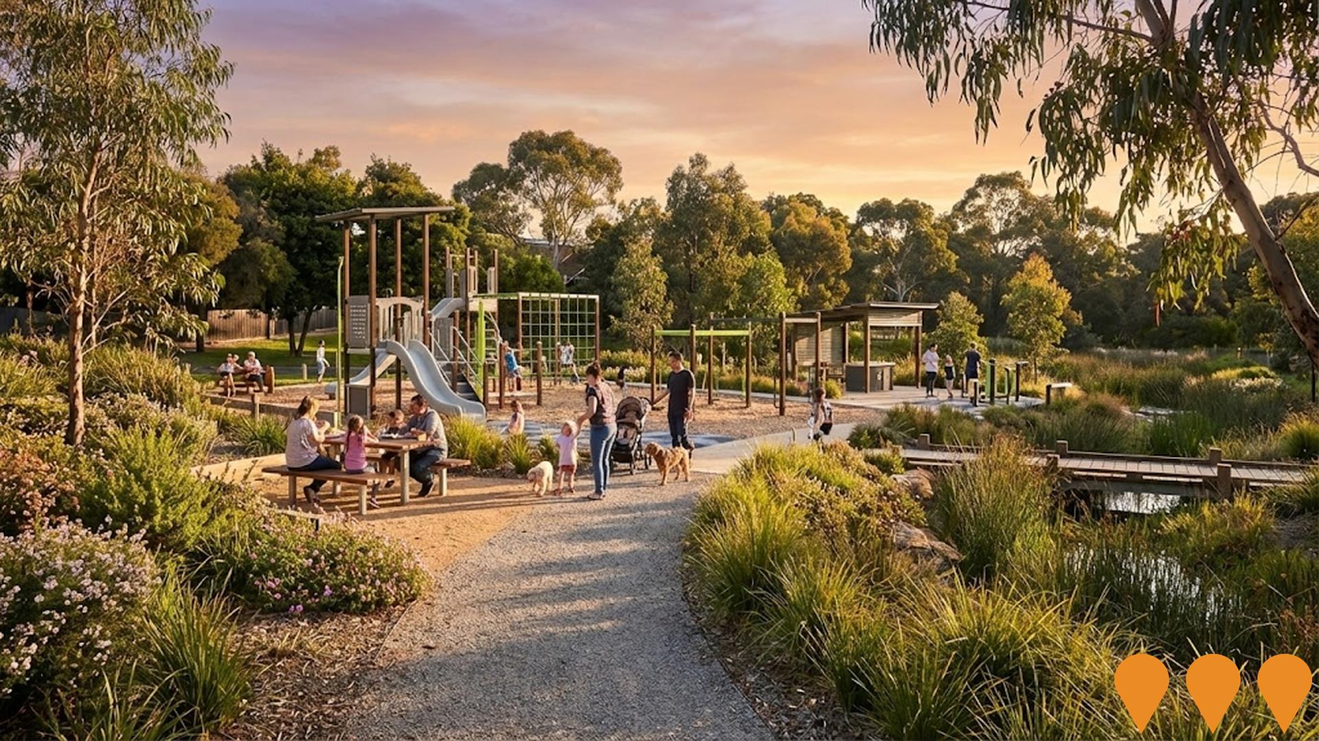
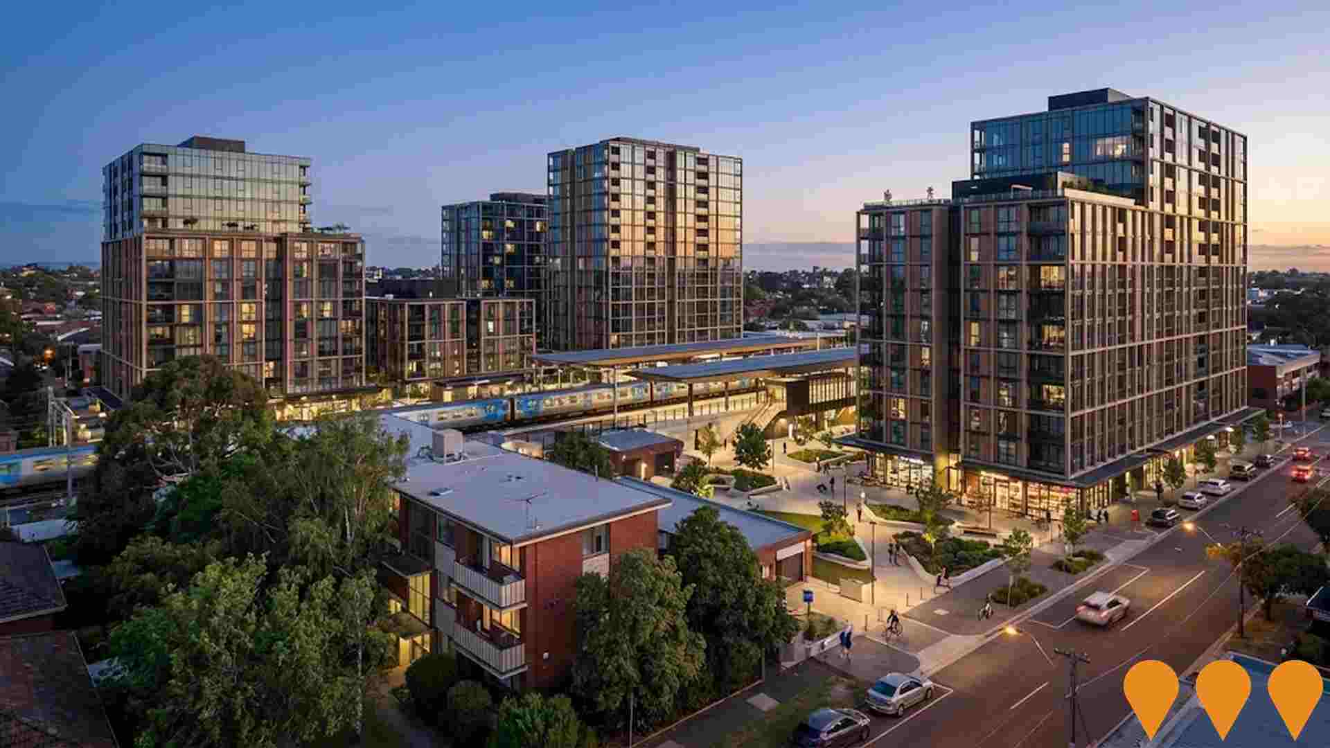
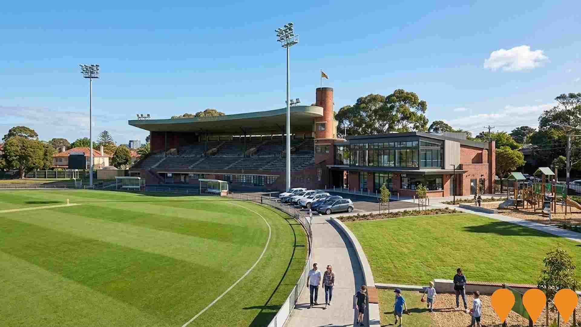
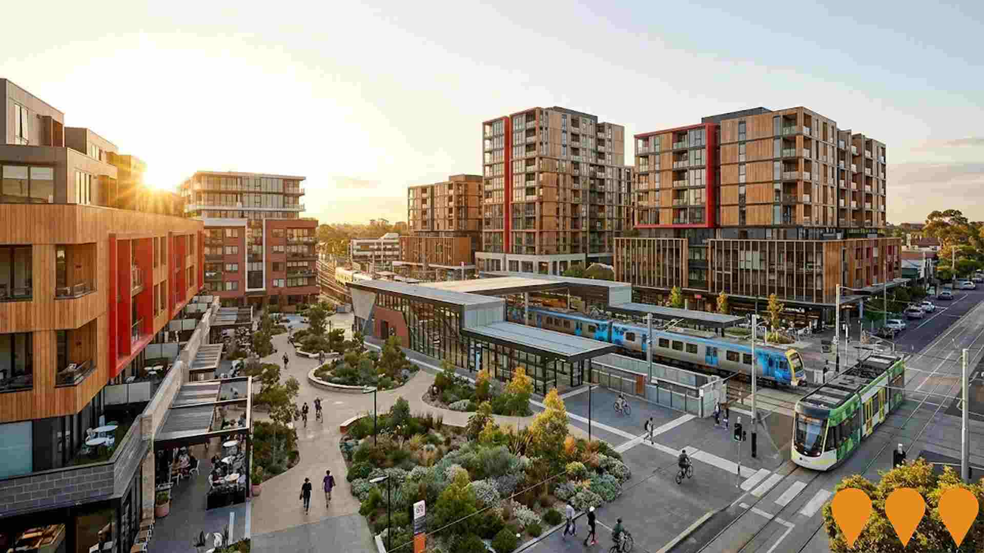
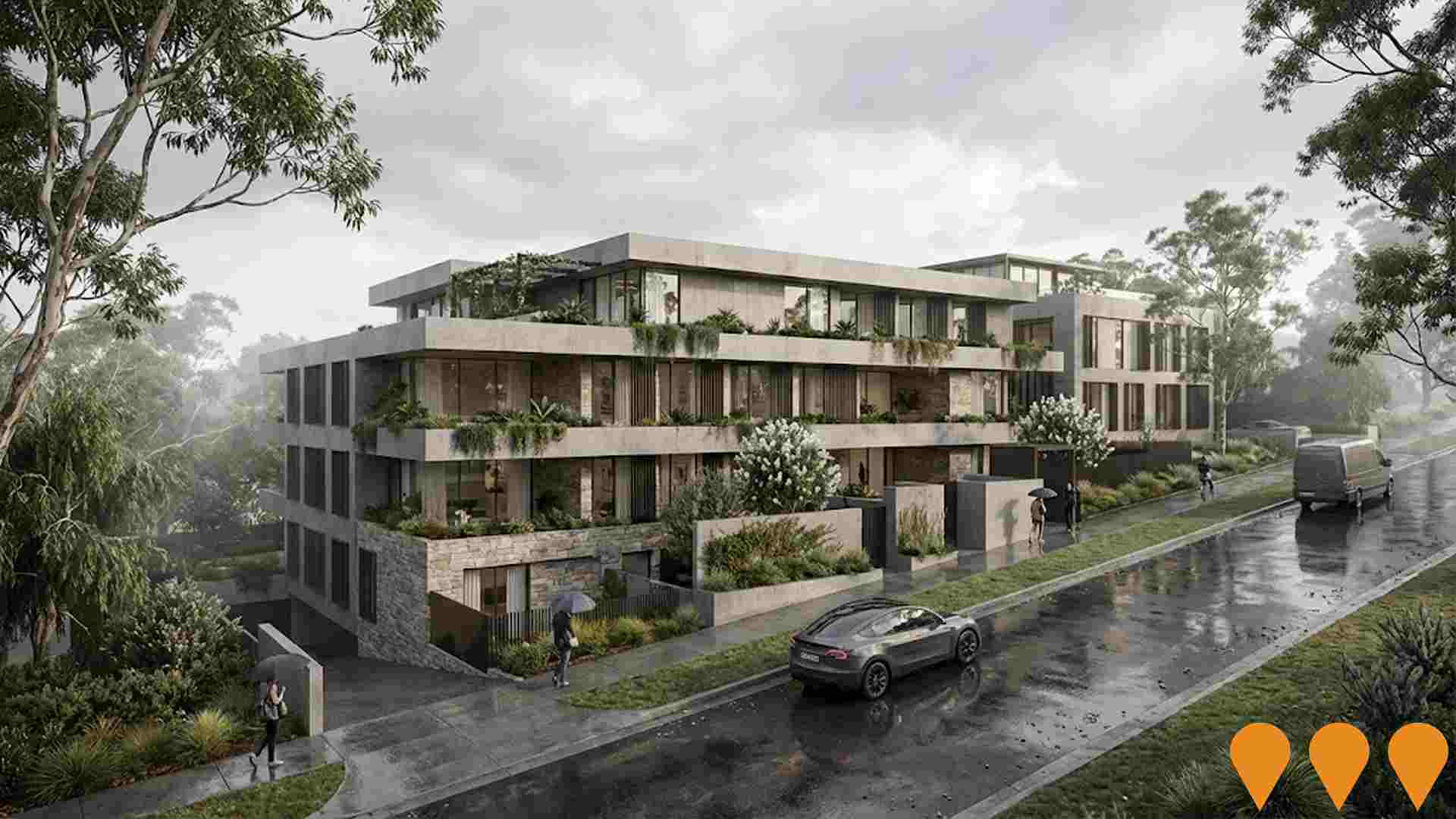
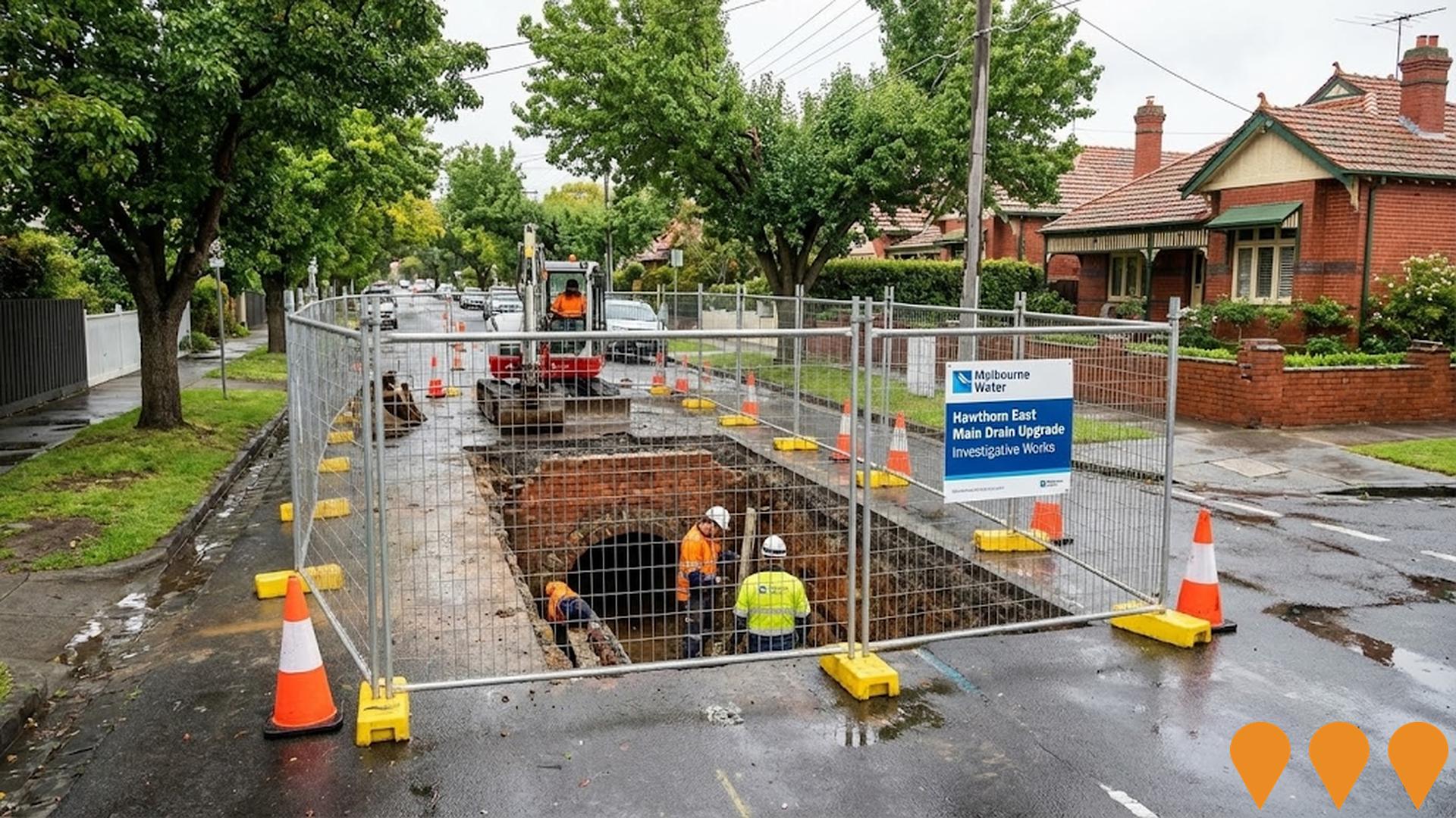
Infrastructure additions, major capital works, and local planning frameworks play a central role in guiding community progress. AreaSearch has highlighted 4 significant initiatives with potential local influence, headed by the Koonung Creek Reserve Restoration, Parring Collection, 1207-1209 Burke Road Townhomes, and Boston Balwyn, which are summarized below according to their community relevance.
Professional plan users can use the search below to filter and access additional projects.
INFRASTRUCTURE SEARCH
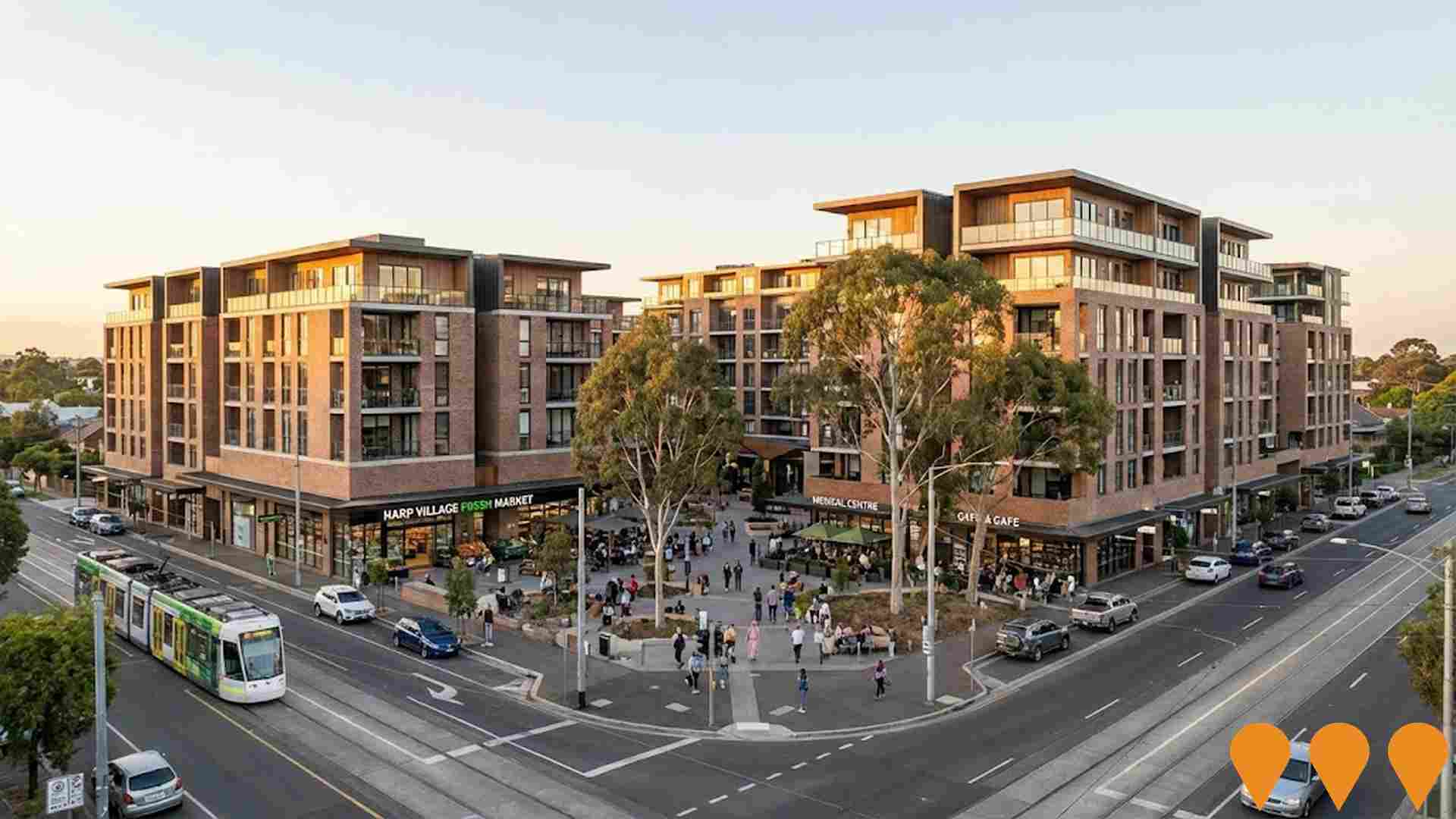
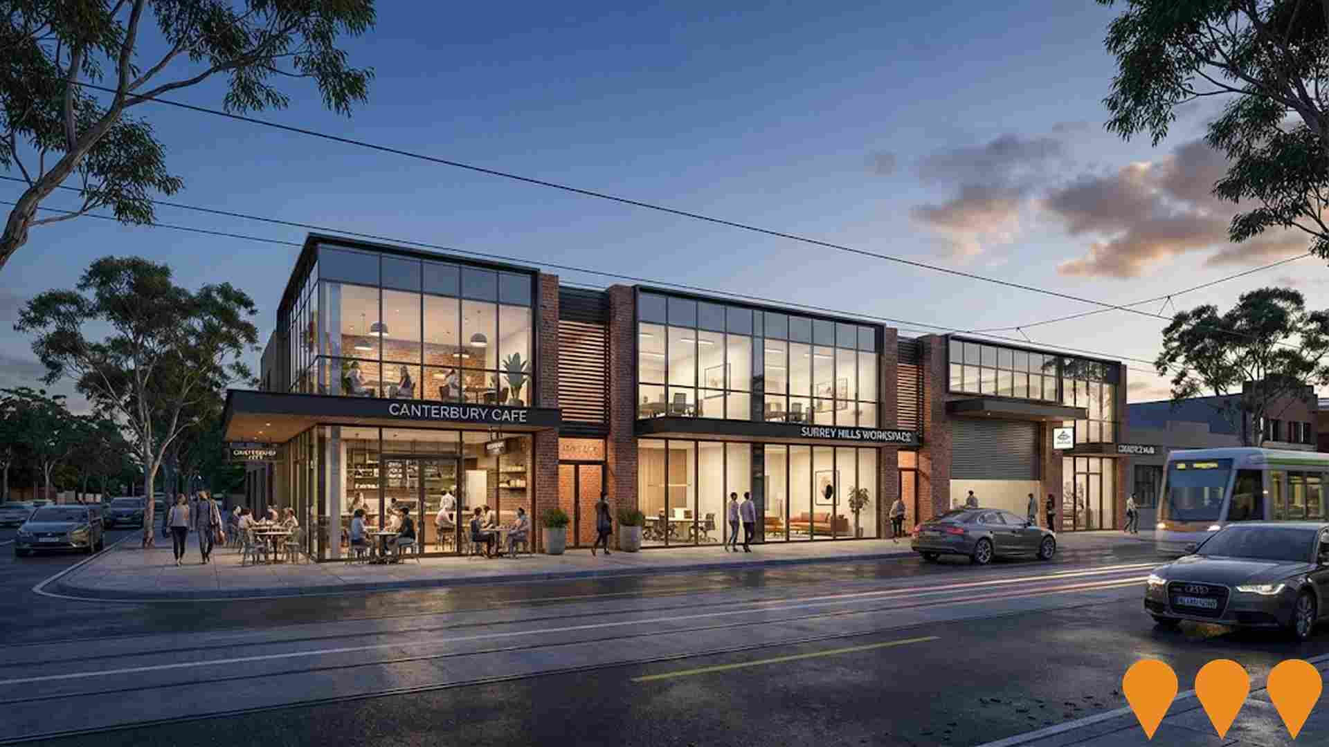
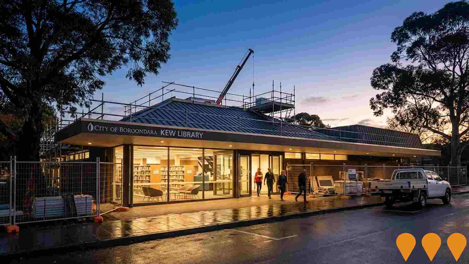
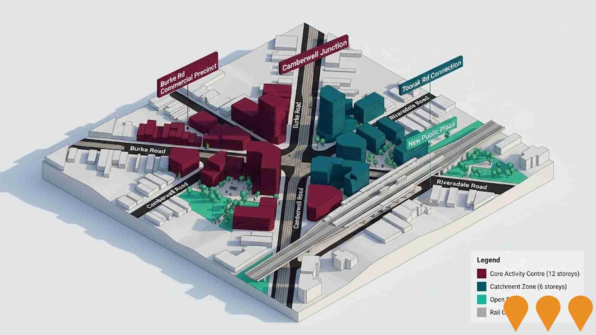
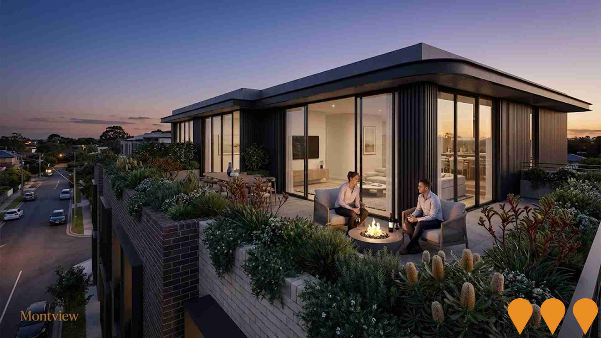
 Denotes AI-based impression for illustrative purposes only, not to be taken as definitive under any circumstances. Please follow links and conduct other investigations from the project's source for actual imagery. Developers and project owners wishing us to use original imagery please Contact Us and we will do so.
Frequently Asked Questions - Infrastructure
White & Weston Balwyn Village
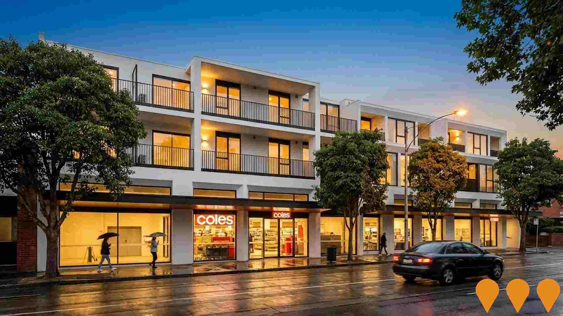
A sophisticated collection of 45 two, three and four-bedroom apartments across a low-rise three-level building designed by Cera Stribley with gardens by Jack Merlo. Features a full-line Coles supermarket at ground level, opposite Balwyn Park with premium finishes including Miele appliances, a 7.5-star NatHERS rating, and an energy-optimised design aligned with Sustainability Victoria's Whole of Home Initiative. Construction has commenced, with demolition completed and builders mobilising on site.
Rochester Canterbury
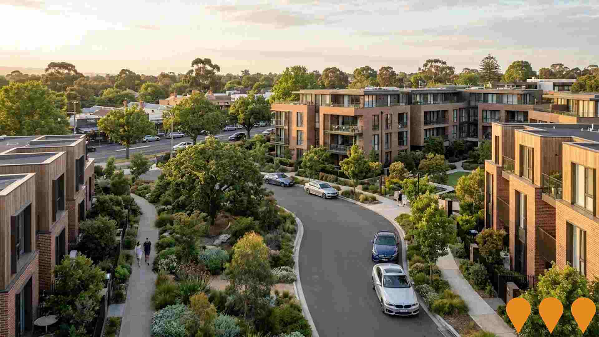
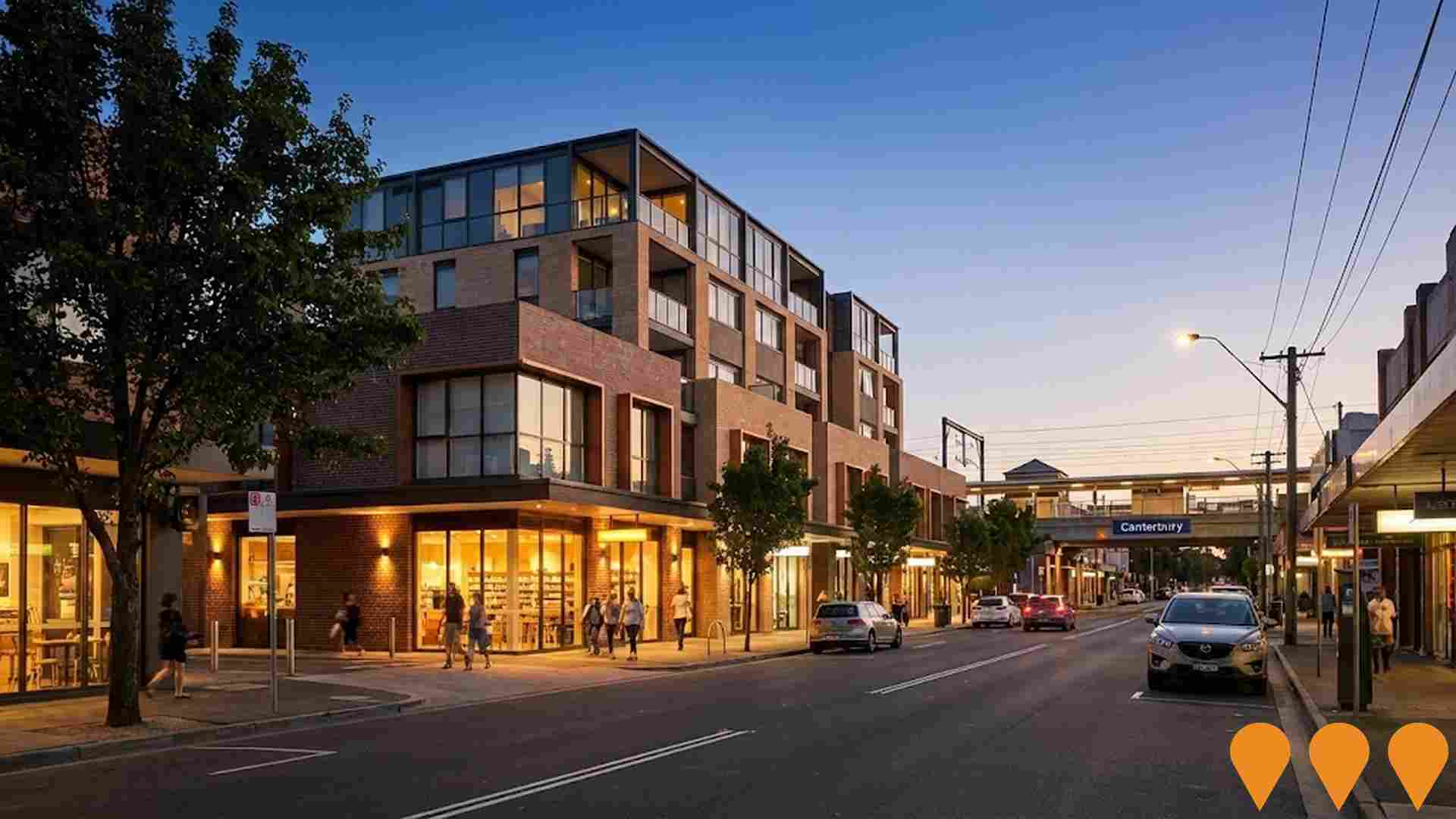
Integrated retirement living, residential aged care and community precinct on Rochester Road in Canterbury, VIC, developed by BASScare and designed by ClarkeHopkinsClarke. The approved masterplan comprises 62 retirement living apartments (2 and 3 bedroom, including penthouses) plus 5 townhomes, alongside 45 residential aged care suites. Community facilities include a cafe with grocer, community hall, activity rooms, pool, spa, sauna, gym, allied health rooms, cinema, salon, art studio and craft workshop, with landscaping oriented around the adjacent Shrublands Creek Reserve.Construction is anticipated to commence in late 2026, with residents able to move in from late 2028. Note: the site was previously marketed as a separate 42-residence Canterbury Gardens townhouse and apartment proposal by Luxe Property Group; that scheme does not appear to have proceeded and has been superseded by the BASScare redevelopment.
1207-1209 Burke Road Townhomes
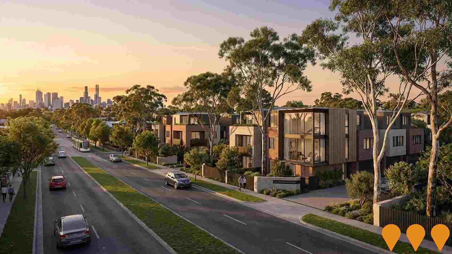
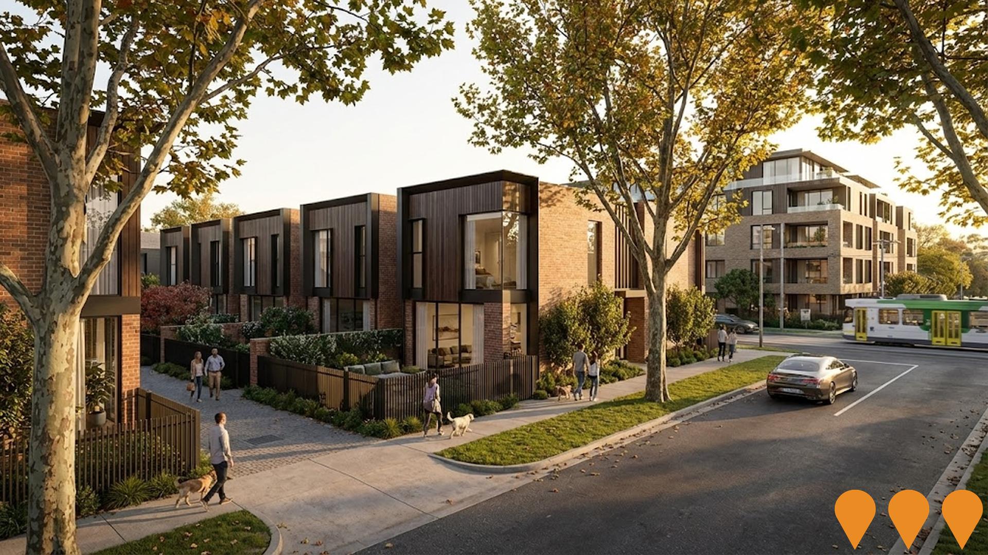
A premium permit-approved development site for 12 architect-designed luxury townhomes by Cera Stribley. Located on a 2,405sqm site with over 40m street frontage to Burke Road in Kew's prestigious Sackville Ward. The development offers boutique luxury living in one of Melbourne's most sought-after suburbs with potential for yield uplift under Victoria's new Townhouse and Low Rise Code.

Nido Early School Hawthorn East
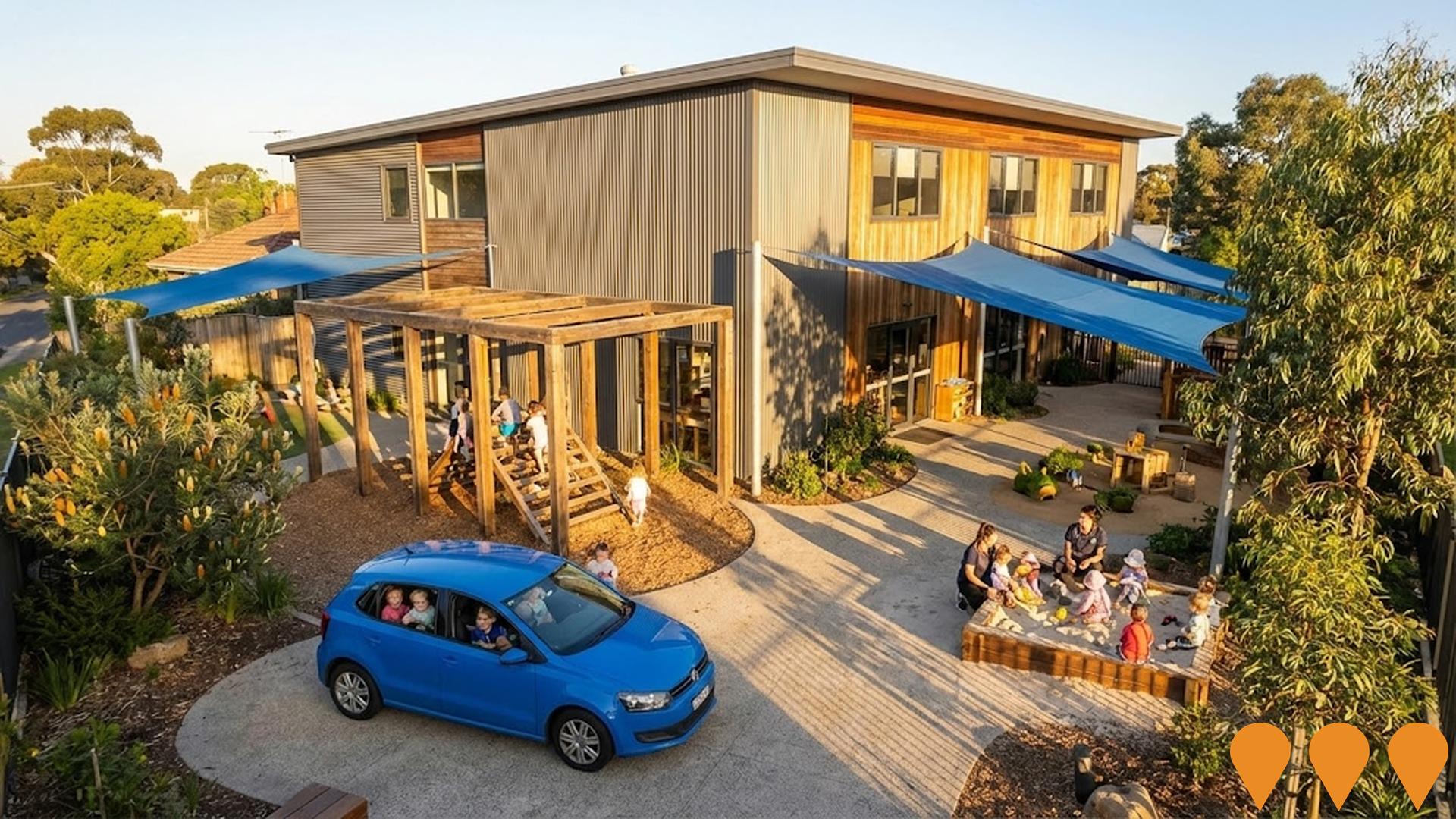
Construction of a premium 68-place early learning centre incorporating the adaptive reuse and extension of a heritage-listed Queen Anne villa. The project will provide Reggio Emilia inspired education for children from 6 weeks to school age with purpose-built indoor and outdoor learning spaces, atelier art studios, landscaped gardens and on-site kitchen facilities. The operator is targeting an opening in mid 2026, subject to final approvals.
Arteur
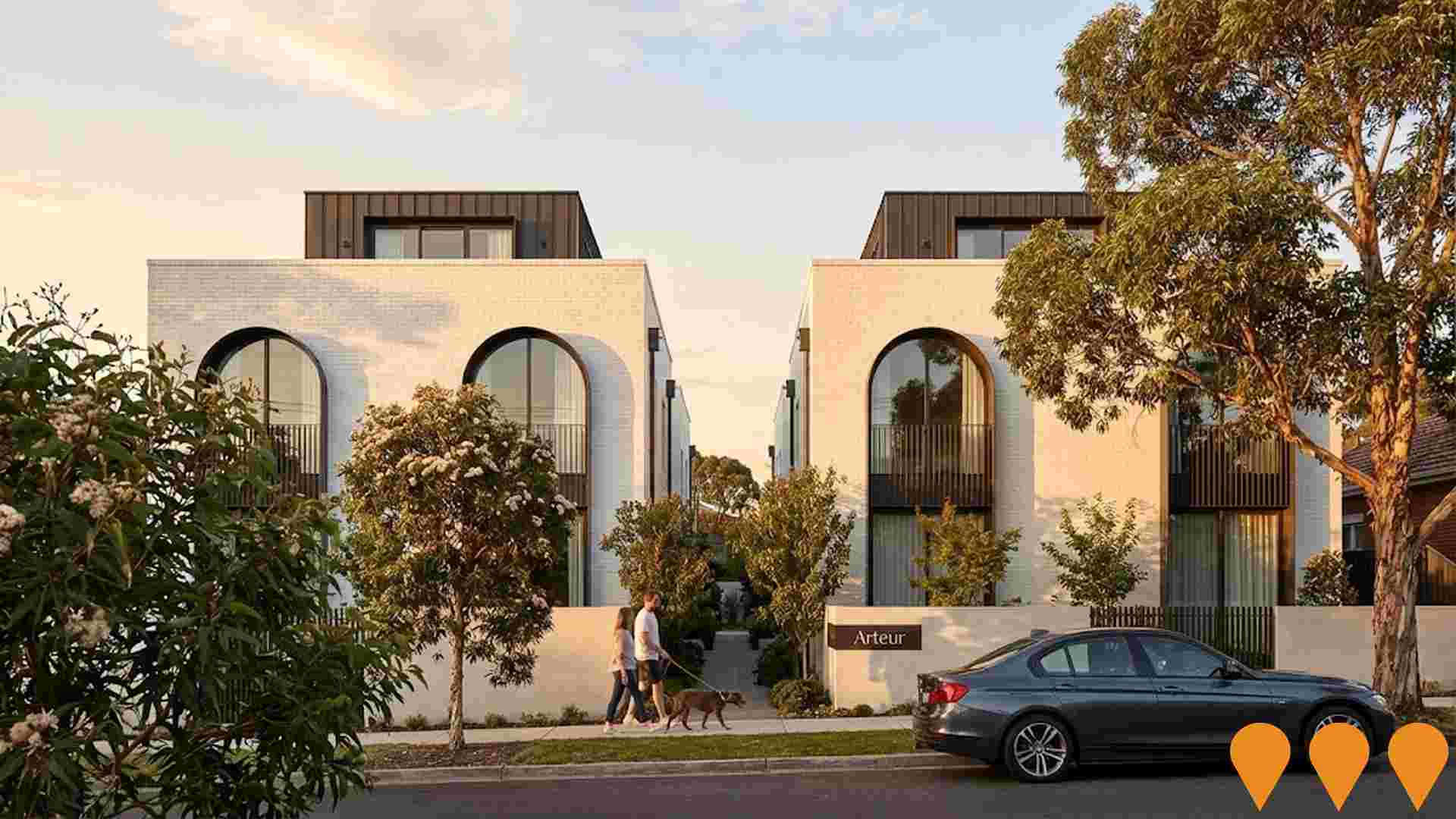
A bespoke luxury townhome project from leading firm Embrace Architects, presenting a lifestyle of enduring style and quality in Kew. This limited collection of 10 stunning townhomes features meticulously designed residences with timeless elegance, integrated Miele appliances, private lifts, solar panels, and EV chargers. Built by Community Constructions Group with landscaping by John Patrick.
Maling Road Mixed-Use Development (Canterbury Hill)
A boutique collection of 28 luxury residences above ground-floor retail in the heart of the historic Maling Road precinct. The project was designed by Carr Architecture and developed by Figurehead.
Glenferrie Place Plan Implementation
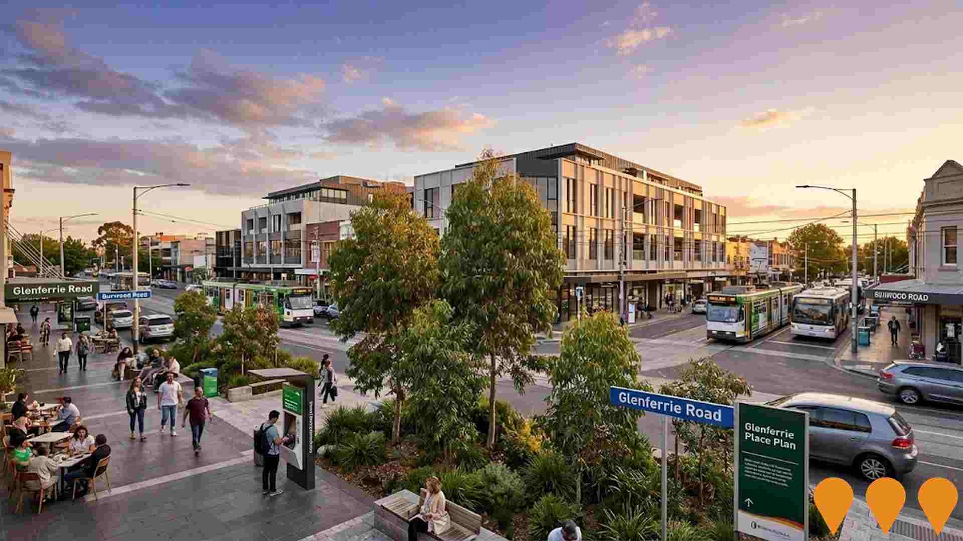
Implementation of the Glenferrie Place Plan to revitalise the Glenferrie precinct, creating a more vibrant and connected local economy. Key initiatives include urban greening, sustainable transport improvements, streetscape upgrades, and the ongoing transformation of the Columbia Street laneway into a safe, people-focused space with improved amenity, landscaping, and accessibility to the station.
Kew Recreation Centre Redevelopment
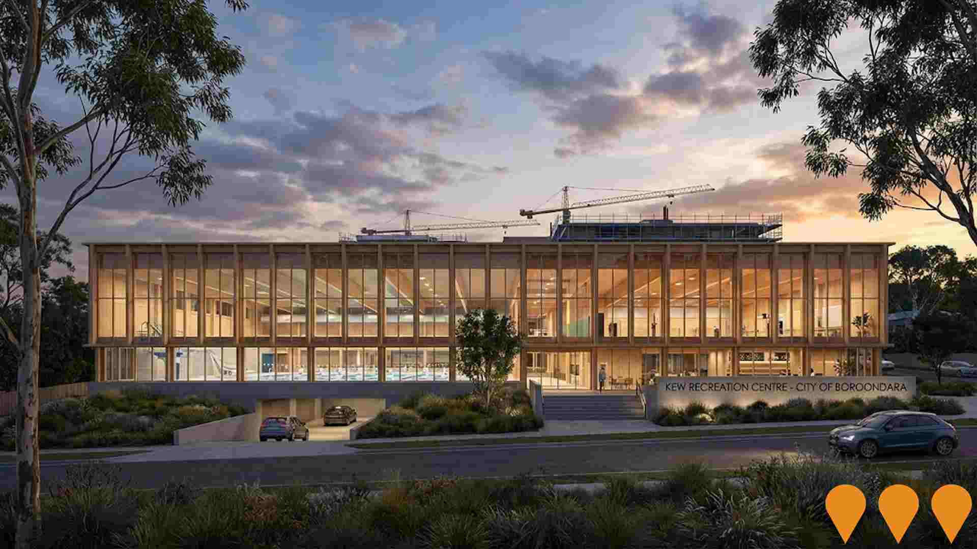
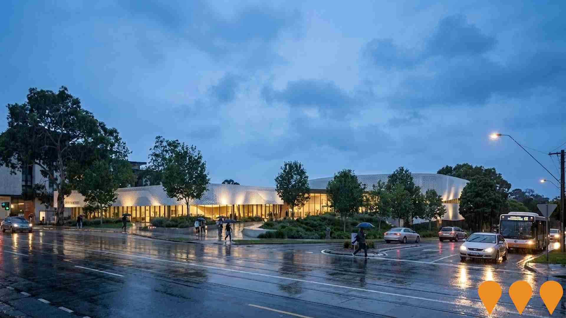
Major redevelopment of the Kew Recreation Centre into a modern all-electric aquatic and recreation facility for people of all ages and abilities. Key features include a 10-lane 25m lap pool, warm-water program pool, learn-to-swim pool, and an aqua play area with a large slide. The centre also includes two indoor sports courts, a gymnasium, group fitness rooms, childcare facilities, and a cafe. Sustainability measures include a 500 kW solar system, heat pump pool heating (replacing gas boilers following a June 2025 council decision), and rainwater harvesting.Construction follows a significant delay caused by an unforeseen structural steel roof collapse in October 2022, which triggered legal proceedings by the Victorian Building Authority and WorkSafe Victoria against ADCO Constructions. The current approved project budget is $78.7 million. The centre is now expected to reopen to the public in July 2027.


1,018 residents of Deepdene (Vic.) are employed, from a labour force of 1,048. Unemployment sits at 2.9%, with participation at 58.9%. Weighted for its industry mix, the area's sectors are forecast to grow about 7.4% nationally over five years. That reflects industry composition only and makes no allowance for local population growth. Unemployment and labour force come from ABS Small Area Labour Markets, updated quarterly; the industry and occupation profile is from the 2021 Census.
Detail
Deepdene features a highly qualified labor force characterized by substantial professional services employment, an unemployment rate of only 2.9%, and resilient labor market conditions over the previous year according to AreaSearch aggregated data. As of March 2026, employed residents total 1,018, with local unemployment sitting 1.9% below the 4.8% benchmark of Greater Melbourne, while the participation rate of 58.9% trails the broader metropolitan figure of 70.1%. Furthermore, 44.5% of working residents reported working remotely in Census returns, though pandemic lockdown circumstances during that period must be noted. The primary employment sectors among local workers comprise health care & social assistance, professional & technical, and education & training.
Professional & technical industries demonstrate particular prominence, capturing an employment share 1.5 times the metropolitan norm, whereas construction represents just 4.7% of resident employment compared to 9.7% across the wider region. In addition, Census ratios comparing working residents to locally situated positions suggest significant outward commuting for employment. According to AreaSearch analysis of ABS and SALM records across statistical regions, the year to March 2026 saw Deepdene's employed count edge up by 0.1% alongside a 1.0% expansion in the labor force, resulting in a 0.8 percentage point uptick in the unemployment rate. Over the identical timeframe, Greater Melbourne saw employment and labor force metrics grow by 2.1% and 2.3% respectively, with unemployment rising by 0.2 percentage points. Drawing on Jobs and Skills Australia's national employment projections from Mar-26, national employment is expected to grow by 6.6% across five years and 13.7% over ten years. Mapping these industry-specific national trends onto the local workforce distribution implies potential employment gains for Deepdene of 7.4% over five years and 14.9% over ten years (calculated as an illustrative weighting exercise without incorporating local demographic forecasts).
Frequently Asked Questions - Employment
Median household income in Deepdene (Vic.) is $2,243 a week (about $117,000 a year), with median personal income at $982 a week. ATO records put median taxable income at $56,176 a year against an average of $107,504. The average runs 91% above the median, a wider spread than most areas and a sign of a concentrated group of high earners. Household income is from the 2021 Census; taxable income is from ATO Taxation Statistics for the latest financial year available, indexed forward using the ABS Wage Price Index.
Detail
ATO postcode records for financial year 2023 assessed by AreaSearch highlight top-tier national earning levels in Deepdene, where median income reached $56,176 and average income reached $107,504, outperforming Greater Melbourne's median of $57,688 and average of $75,164. Factoring in subsequent Wage Price Index expansion of 9.62% since financial year 2023, updated figures equate to roughly $61,580 for median earnings and $117,846 for average earnings as of March 2026. Across personal, family, and household measures, Census results place the suburb within the 77th to 80th national percentiles. High earners are strongly concentrated locally, with 27.9% of residents (575 people) reporting incomes in the $4000+ bracket—diverging from the regional pattern where $1,500 - 2,999 forms the largest segment at 32.8%—while 37.1% earn over $3,000 weekly.
Housing costs represent 13.4% of income, disposable earnings sit at the 82nd percentile, and the suburb attains a SEIFA income placement in the 9th decile.
Frequently Asked Questions - Income
Deepdene (Vic.) had 785 occupied dwellings at the 2021 Census, 67% detached houses and 9% apartments. 28% are owned with a mortgage, 21% rented and 51% owned outright. At that Census the median rent was $501 a week and the median mortgage repayment $3,000 a month. Rent absorbs 22.3% of household income here and mortgage repayments 30.9%. Dwelling stock, tenure and housing costs are 2021 Census measures — the only source that counts dwellings at this boundary size.
Detail
At the most recent Census, residential stock in Deepdene consisted of 66.8% separate houses alongside 33.3% attached, multi-unit, or alternative dwelling types, matching closely with Greater Melbourne's split of 67.9% houses and 32.1% other dwellings. Fully owned homes represented 50.6% of properties—substantially eclipsing the metropolitan benchmark—while mortgaged homes constituted 28.0% and rental accommodation accounted for 21.4%. Typical housing expenses were notably elevated: the median monthly mortgage payment was $3,000 versus the metropolitan baseline of $2,000 and national figure of $1,863, while the median weekly rental cost reached $501 compared to $390 across Greater Melbourne and $375 nationally.
Frequently Asked Questions - Housing
Deepdene (Vic.) counted 785 households at the 2021 Census, averaging 2.6 people each. 34% are couples with children, against 28% couples without children. 25% of households are people living alone, and families average 1.5 children. Household and family composition is measured only by the Census, so these are 2021 figures.
Detail
Family arrangements constitute 72.1% of local households, encompassing couples with children at 33.9%, couples without children at 28.3%, and single parent families at 8.9%. Non-family dwellings make up the remaining 27.9%, comprising lone person residences at 25.2% and group accommodation at 2.3%. The suburb's median household size of 2.6 people aligns directly with the Greater Melbourne benchmark.
Frequently Asked Questions - Households
54.0% of adults in Deepdene (Vic.) hold a university qualification, including 34.1% with a bachelor degree and 16.1% with postgraduate qualifications, higher than 98% of areas nationally. A further 7.7% hold a vocational qualification. 2 schools serve the area, with 543 enrolment places and an average ICSEA of 1,165 against a national benchmark of 1,000. Qualifications come from the 2021 Census; school enrolments, ICSEA and results come from ACARA's current release.
Detail
Deepdene records exceptional academic outcomes, with 54.0% of residents aged 15+ holding tertiary degrees, substantially exceeding the 33.4% Victorian and 30.4% Australian benchmarks. Bachelor degree holders constitute the largest cohort at 34.1%, accompanied by 16.1% holding postgraduate credentials and 3.8% possessing graduate diplomas. Technical and vocational qualifications represent 18.3% of credentials among residents aged 15+, comprising 10.6% in advanced diplomas and 7.7% in certificates. Formal study engagement is substantial across the suburb, with 31.3% of the resident population attending educational institutions. This enrollment profile breaks down into 9.4% undertaking secondary schooling, 9.2% enrolled in tertiary courses, and 7.8% attending primary education.
Frequently Asked Questions - Education
Schools Detail
Public transport in Deepdene (Vic.) reaches 8 stops on 2 routes, timetabled for about 1,400 services a week. The typical home sits about 210 m from its nearest stop. Trams carry the largest share of public transport commuters. Households keep an average of 1.3 vehicles. Stop and service counts are built from operators' published GTFS timetables and refresh with each timetable release; vehicle ownership is from the 2021 Census.
Detail
Deepdene is serviced by 8 light rail transport stops operating across 2 separate routes, generating 1,404 passenger services each week. Local transit proximity is favorable, with residents situated an average distance of 213 meters from their closest stop. Commuting patterns reflect the area's residential orientation, with private vehicles serving as the primary travel choice at 83%, compared to 6% utilizing rail and 5% traveling on foot, alongside household vehicle ownership averaging 1.3 per dwelling. Census records from 2021 also showed 44.5% working from home, reflecting prevailing COVID-19 conditions at that time.
Across all transit lines, service frequency averages 200 scheduled trips each day, which corresponds to roughly 175 weekly departures per individual stop.
Frequently Asked Questions - Transport
Transport Stops Detail
71.3% of residents in Deepdene (Vic.) report no long-term health condition. 6.5% need daily assistance with core activities, and 69.1% hold private health cover. The standardised death rate runs at 5.8 per 1,000 residents. Health conditions, assistance needs and insurance are 2021 Census measures; the death rate comes from current ABS releases.
Detail
Health assessments compiled by AreaSearch indicate excellent overall vitality across Deepdene, with low rates of common chronic illnesses and mortality observed across both younger and older cohorts. Private health insurance coverage is extensive, held by roughly 69% of the population (1,425 people), outstripping both the Greater Melbourne level of 56.7% and the national baseline of 55.7%. Among reported long-term illnesses, arthritis and asthma showed the highest incidence in Deepdene, affecting 8.6 and 6.3% of residents respectively, whereas 71.3% of locals indicated no chronic medical diagnoses compared to 72.6% across Greater Melbourne.
Working-age cohorts maintain high health standards with minimal chronic illness. Seniors aged 65 and over comprise 27.5% of the community (567 people), exceeding the 15.1% metropolitan benchmark, and demonstrate above-average health results consistent with broader national trends.
Frequently Asked Questions - Health
38.1% of Deepdene (Vic.) residents were born overseas and 34.7% speak a language other than English at home, more culturally diverse than 80% of areas nationally. The largest reported ancestries are Chinese (21.6%) and English (21.3%). Ancestry, language and country of birth are counted only by the Census, so these are 2021 figures.
Detail
Cultural diversity is well established in Deepdene, where 38.1% of the population was born abroad and 34.7% speak a non-English language at home. Christianity forms the largest religious group, representing 46.2% of residents. In addition, Buddhism is distinctly prominent at 5.6% of the suburb's populace, compared to 4.2% across Greater Melbourne. Examining parental heritage, the three most prevalent ancestries in Deepdene are Chinese at 21.6% (markedly higher than the 6.5% metropolitan rate), English at 21.3%, and Australian at 15.6%. Other notable demographic groups include residents of Hungarian descent representing 0.4% locally (versus 0.3% regionally), Vietnamese ancestry at 1.9% (versus 1.9%), and Sri Lankan ancestry at 0.5% (versus 0.8%).
Frequently Asked Questions - Diversity
The median resident of Deepdene (Vic.) is 46, older than 82% of areas nationally. 24.8% of residents are aged 15 to 34. Age cohorts are not raw Census counts: the Census split is re-based to the latest ABS population estimates and state projections.
Detail
Deepdene displays an older demographic profile relative to its surrounding region. Under August 2026 estimates, residents aged 65+ account for 27.5% of the population compared to 15.1% across Greater Melbourne, while adults aged 25 - 44 represent 20.3% against a wider metropolitan proportion of 32.1%. The estimated median age stood at 46 as at August 2026, unchanged from the 2021 Census, which exceeded the Greater Melbourne median of 37 and Australian median of 38 from that same Census. Senior cohorts expanded from 26.3% at the Census to an estimated 27.5%, and projections to 2041 indicate that older residents will drive most future expansion, adding 212 residents (37%) to reach 779, whereas counts of children and younger adults are forecast to decrease.
Frequently Asked Questions - Age
Data & MethodBoundaries, Sources & Method for Deepdene (Vic.)
9 of 14 data sections on this page were updated within the last 12 months — the newest current to Oct 2026.
Everything is aggregated to the Suburb (SAL) boundary shown above, on a 2021 Census baseline. Only 3 sections — housing, households and cultural diversity — still wait on the 2026 Census.
The ledger — source, cycle and currency by section
| Section | Source & update cycle | Currency |
|---|---|---|
| Updated within the last 12 months 9 sections | ||
| Population | ABS, GNAF, Geoscience Australia Annual (ABS ERP) | Aug 2026 2 months ago headline measures · 2021 Census baseline |
| Re-based to the ABS Estimated Resident Population (June 2025 release) and updated with new dwellings from GNAF address data. Current to Aug 2026, with the 2021 Census supplying the small-area baseline. | ||
| Age profile | ABS, Geoscience Australia, State governments Annual | Aug 2026 2 months ago headline measures · 2021 Census baseline |
| Age cohorts are re-based to the latest ABS population estimates and state projections, current to Aug 2026. Each cohort is held as a Census baseline and a current estimate. | ||
| Development & approvals | ABS, GNAF Monthly (ABS approvals) | Aug 2026 2 months ago headline measures · Jul 2026 baseline |
| Property sales & rents | Valuer General, Rental Board, ABS Weekly sales, quarterly rents | Oct 2026 this month headline measures · Sep 2026 baseline |
| Sales from the state Valuer General register, refreshed weekly, and rents from quarterly rental bond lodgements. Both are read live each time this page loads, current to Oct 2026. | ||
| Infrastructure projects | Infrastructure Australia, Local governments Daily | May 2026 5 months ago all 2 projects tracked here |
| Project pipeline maintained continuously from Infrastructure Australia, state agencies, local government and public announcements. Records are added and revised daily; this area was last updated May 2026. | ||
| Employment | ABS, DEWR, JSA Quarterly (ABS SALM) | Mar 2026 7 months ago headline measures · 2021 Census baseline |
| Unemployment and labour force from ABS Small Area Labour Markets, current to Mar 2026. The growth outlook applies Department of Employment (now Jobs and Skills Australia) forecasts for all 19 industry divisions to the local industry mix, so it measures sector composition rather than local expansion and makes no allowance for population growth. Job demand comes from the same agency via its Internet Vacancy Index; industry and occupation structure from the 2021 Census. | ||
| Education | ABS, ACARA Annual (ACARA) | Sep 2026 last month headline measures · 2021 Census baseline |
| Transport | ABS, State Transport Departments Each timetable release | Jul 2026 3 months ago headline measures · 2021 Census baseline |
| Services & amenities | Provider directories, ACECQA Continuous | Sep 2026 last month all 14 measures |
| Annual and financial-year sources 2 sections | ||
| Income | ABS, ATO Annual (ATO) | FY 2023 3 years ago headline measures · 2021 Census baseline |
| ATO taxable income statistics for FY 2023, indexed forward using the Wage Price Index. Census household income provides the distribution detail. | ||
| Health | ABS, ATO Annual | 2024 2 years ago headline measures · 2021 Census baseline |
| Census-measured — next update: 2026 Census 3 sections No more current small-area source exists for these, so they are labelled as Census-measured rather than implied to be current. | ||
| Housing | ABS 5-yearly (Census) | 2021 Census next update 2026 all 30 measures |
| Households | ABS 5-yearly (Census) | 2021 Census next update 2026 all 18 measures |
| Cultural diversity | ABS, Geoscience Australia 5-yearly (Census) | 2021 Census next update 2026 all 44 measures |
"Currency" is the most recent release feeding that section. Where the Census supplies the structural baseline underneath a current headline figure, the row says so.
How the numbers are built
Population
The Census provides the small-area baseline, aggregated from mesh blocks to this boundary. It is then re-based to the ABS Estimated Resident Population (June 2025 release), and new dwellings built since Census night are counted from address data — 1 validated new addresses here. The headline figure is therefore a current estimate for Aug 2026, not a 2021 count (2,101 at the 2021 Census → 2,062 now). Annual growth rates are compound (CAGR), not simple averages.
Age profile
Cohort shares are not raw Census counts. Every cohort is held as a pair — the Census baseline and a current estimate — and the split is re-based using ERP and state population projections, current to Aug 2026. Median age is the Census median plus modelled change since. Charts that show both are labelled "2021 Census vs Current Estimate".
Property sales
Sourced from the state valuation authority's sales register — current, not Census, and refreshed weekly. Medians are calculated from settled transactions in the period shown; periods with very low transaction counts are flagged or suppressed, because a handful of sales can move a median substantially.
Rents
Derived from state rental bond lodgement data, by dwelling type and bedroom count. Bonds are lodged at the start of a new tenancy, so this reflects new lettings, not the whole rented stock.
Development & infrastructure
Building approvals come from current ABS releases; development applications are collected from council and state planning portals; the infrastructure pipeline is compiled from Infrastructure Australia and local government sources. Applications are matched to this boundary by address or coordinates, so very recent lodgements may not yet appear.
Employment & income
Industry and occupation structure comes from the Census, but the headline labour-market indicators do not. Unemployment and labour force are derived from ABS Small Area Labour Markets (quarterly). The employment outlook applies Department of Employment forecasts for all 19 industry divisions to this area's own industry mix (the agency is now Jobs and Skills Australia), as does the Internet Vacancy Index used for job demand. Because it is weighted on industry composition alone, that outlook carries no allowance for local population growth — in fast-growing areas the real rise in local jobs will typically be higher. Income combines Census household income with ATO taxable-income statistics for FY 2023, indexed forward using the Wage Price Index.
Education, transport & amenities
School enrolments, ICSEA and performance come from ACARA's current release, not the Census. Public transport stops and service frequency are derived from GTFS timetable feeds published by state transport departments. Services and amenities are proximity and count scores built from provider directories, refreshed on their own cycle. The Census contributes only the travel-to-work and qualification measures.
Rankings and benchmarks. Where we rank this area, the comparison set is every area of the same boundary type — suburbs against suburbs, SA2s against SA2s. Benchmarks compare this area against its greater capital city region and the national figure for the same measure and period.
Limits worth knowing. Small areas carry larger error margins, and the ABS introduces small random adjustments to Census counts to protect confidentiality — so totals may not sum exactly. Estimates re-based from regional data describe the area's expected trajectory, not a direct count of it. Figures are indicative for research and are not financial, planning or valuation advice.
Cross-check us. The Census baseline for this boundary is at ABS 2021 Census QuickStats (SAL20728). QuickStats reports 2021 only — the figures on this page are more current wherever the ledger shows a later date.