Chart Color Schemes
This analysis uses ABS Statistical Areas Level 2 (SA2) boundaries, which can materially differ from Suburbs and Localities (SAL) even when sharing similar names.
SA2 boundaries are defined by the Australian Bureau of Statistics and are designed to represent communities for statistical reporting (e.g., census and ERP).
Suburbs and Localities (SAL) represent commonly-used suburb/locality names (postal-style areas) and may use different geographic boundaries. For comprehensive analysis, consider reviewing both boundary types if available.
est. as @ -- *
ABS ERP | -- people | --
2021 Census | -- people
Sales Activity
Curious about local property values? Filter the chart to assess the volume and appreciation (including resales) trends and regional comparisons, or scroll to the map below view this information at an individual property level.
Find a Recent Sale
Sales Detail
Population
Morayfield - East lies within the top 10% of areas nationally in terms of population growth performance according to AreaSearch analysis of short and medium-term trends
Morayfield - East's population was approximately 13,653 as of November 2025. This figure represents an increase of 2,575 people from the 2021 Census, which recorded a population of 11,078. The growth is inferred from ABS data showing an estimated resident population of 13,292 in June 2024 and an additional 432 validated new addresses since the Census date. This results in a population density ratio of 1,602 persons per square kilometer, higher than the average across national locations assessed by AreaSearch. Morayfield - East's growth rate of 23.2% since the 2021 census exceeds both the national average (8.9%) and the state average, indicating it as a growth leader in the region. Interstate migration contributed approximately 72.0% of overall population gains during recent periods, with all drivers including natural growth and overseas migration being positive factors.
AreaSearch uses ABS/Geoscience Australia projections for each SA2 area released in 2024, based on 2022 data, and Queensland State Government's SA2 area projections for years post-2032, released in 2023 and based on 2021 data. Future population trends forecast a significant increase in the top quartile of national statistical areas, with Morayfield - East expected to expand by 3,798 persons to 2041, reflecting a gain of 25.2% over the 17-year period.
Frequently Asked Questions - Population
Development
The level of residential development activity in Morayfield - East was found to be higher than 90% of real estate markets across the country
Morayfield - East averaged approximately 156 new dwelling approvals annually between FY2021 and FY2025. A total of 781 homes were approved during this period, with an additional 40 approved in FY2026 as of the present time. On average, 4.3 new residents arrived per year for each dwelling constructed over these five financial years.
This has led to a situation where demand exceeds new supply, typically resulting in price growth and increased buyer competition. The average construction value of new properties was $188,000, which is below the regional average, suggesting more affordable housing options for buyers. In FY2026, $7.9 million worth of commercial approvals have been registered, indicating the area's residential character. When compared to Greater Brisbane, Morayfield - East has similar development levels per capita, maintaining market balance consistent with the broader area. This activity is notably higher than national averages, suggesting strong developer confidence in the location.
New building activity shows 58.0% detached dwellings and 42.0% townhouses or apartments, indicating an expanding range of medium-density options that cater to various price brackets, from traditional family housing to more affordable compact alternatives. This represents a significant shift from the current housing mix, which is predominantly composed of houses (85.0%). This change reflects reduced availability of development sites and addresses shifting lifestyle demands and affordability requirements. With approximately 108 people per dwelling approval, Morayfield - East exhibits characteristics of a growth area. According to the latest AreaSearch quarterly estimate, Morayfield - East is projected to grow by 3,437 residents through to 2041. Based on current development patterns, new housing supply should readily meet demand, offering favourable conditions for buyers and potentially facilitating population growth beyond current projections.
Frequently Asked Questions - Development
Infrastructure
Morayfield - East has moderate levels of nearby infrastructure activity, ranking in the 45thth percentile nationally
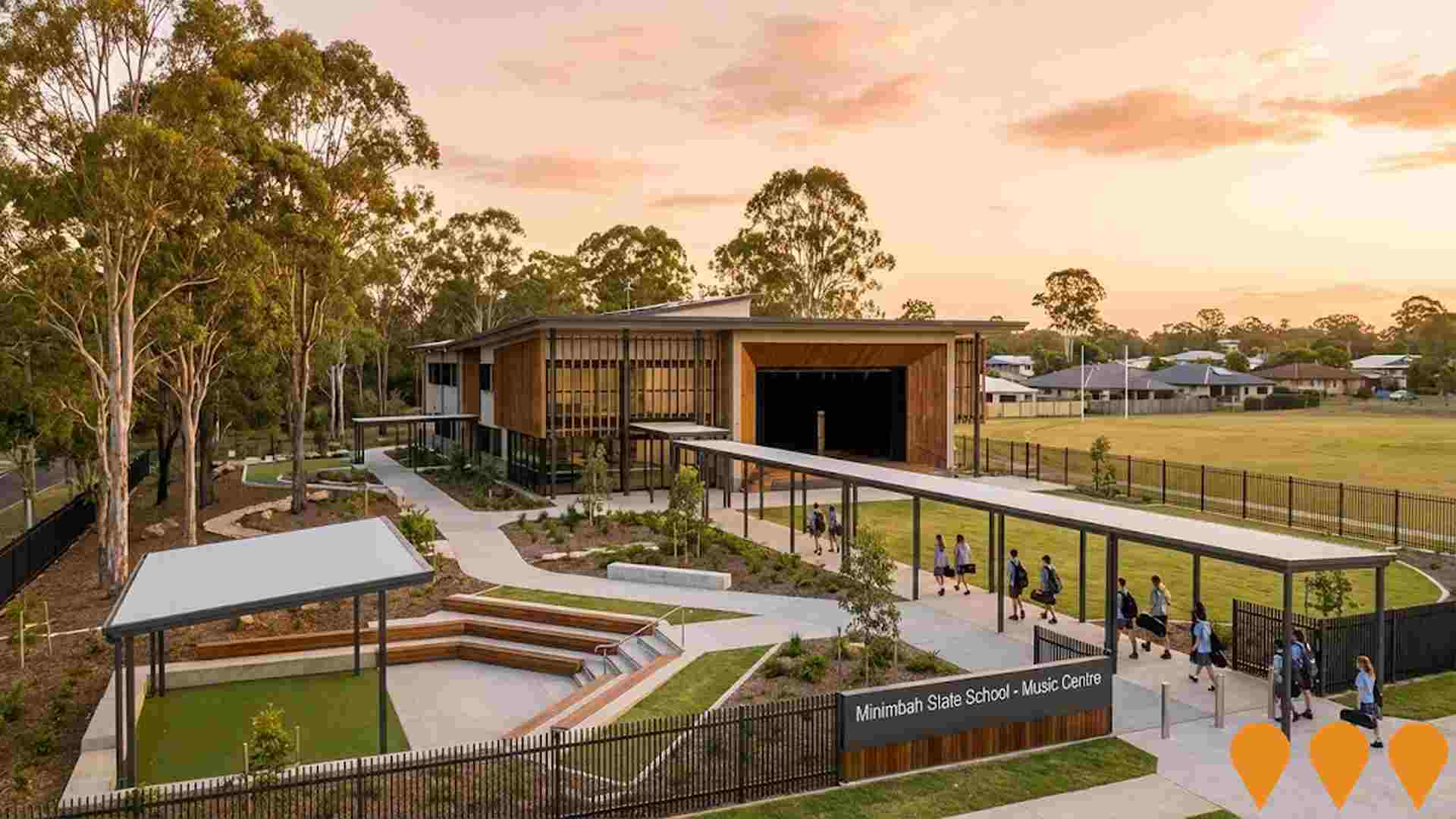
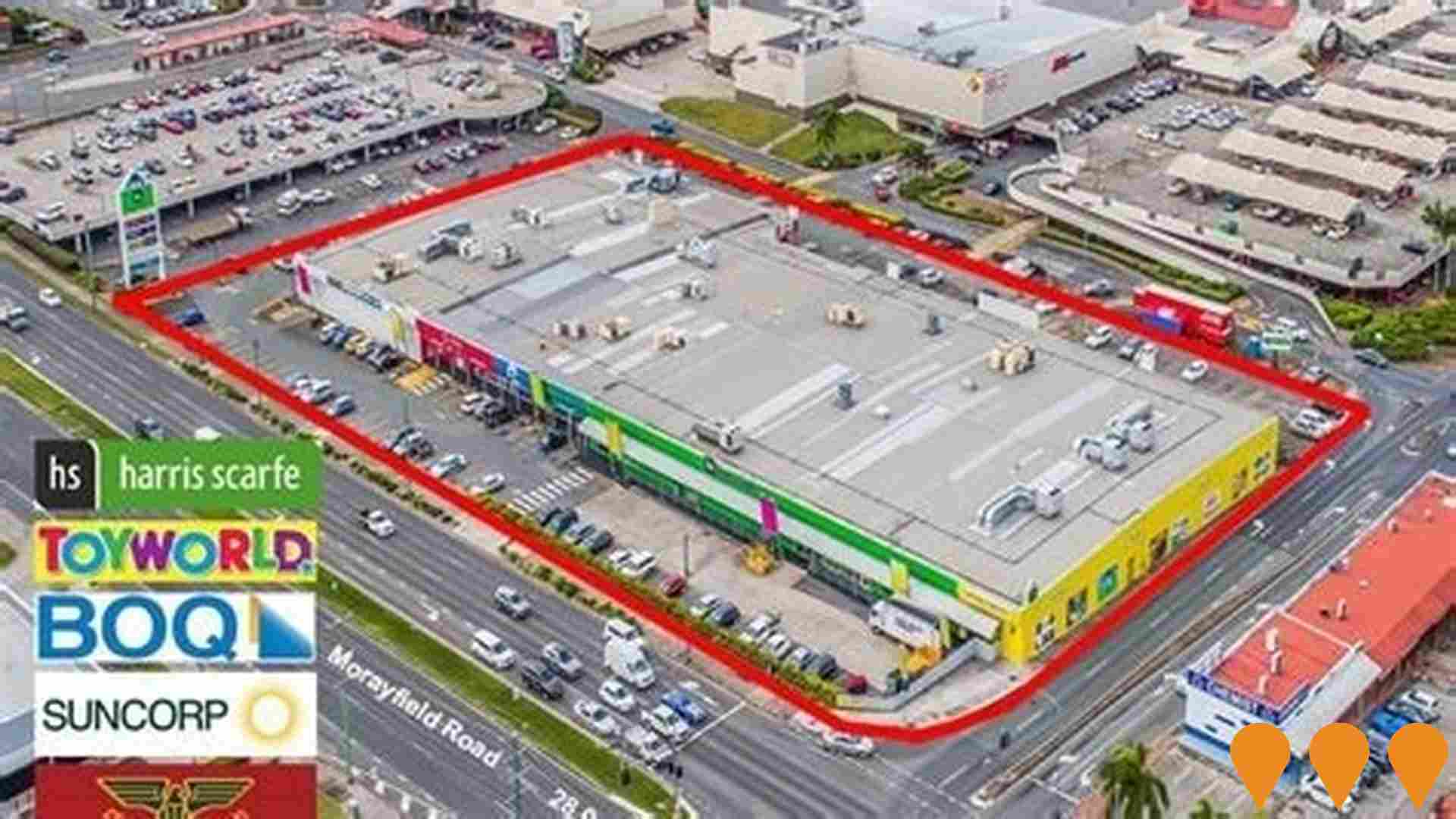
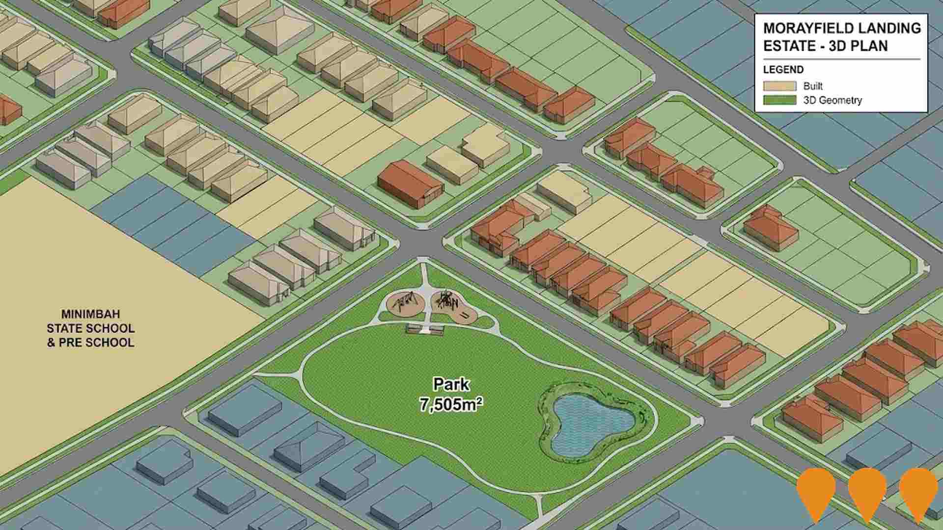
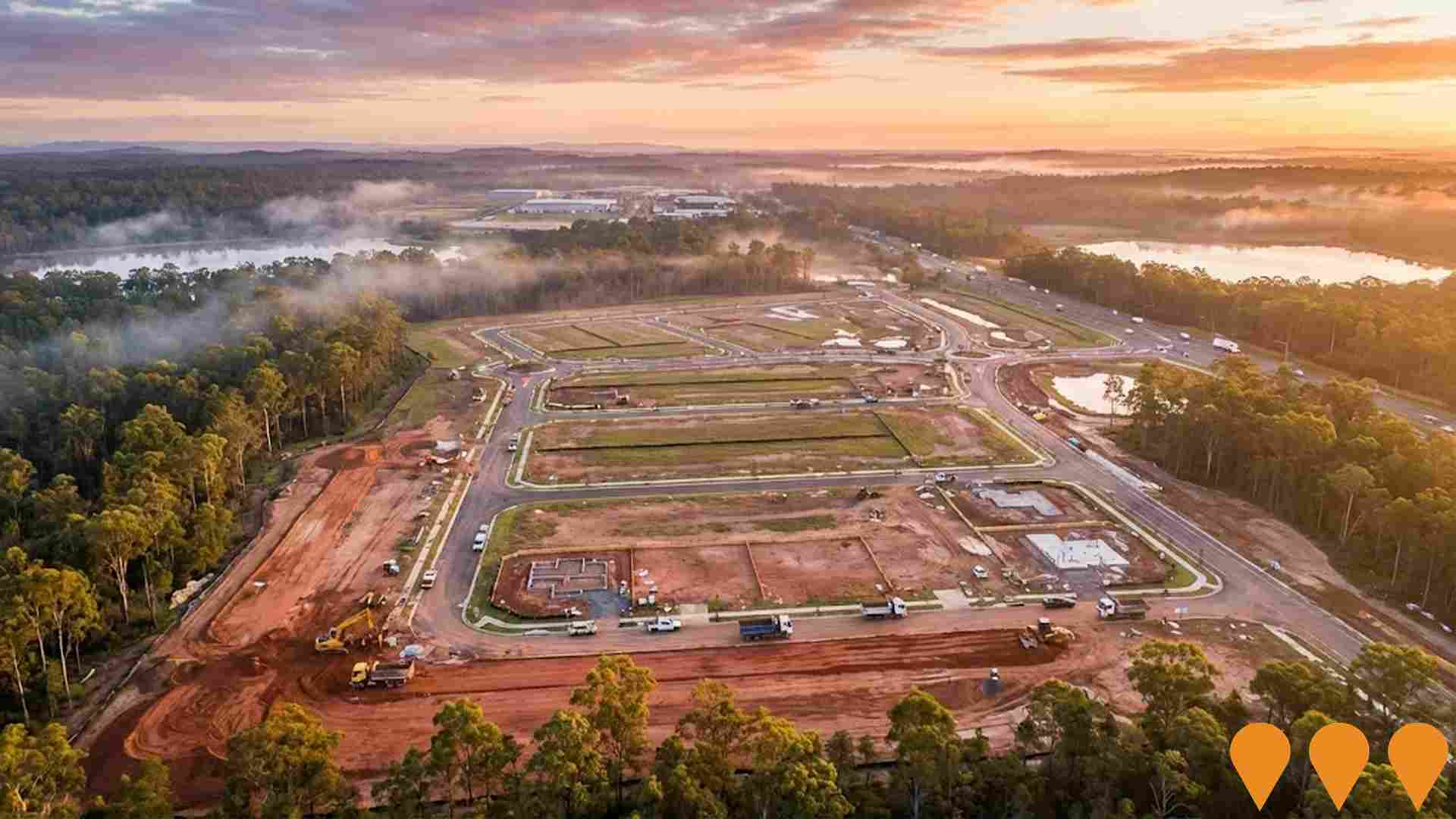
Twenty-four projects identified by AreaSearch are expected to impact the area significantly, with changes to local infrastructure having a substantial influence on performance. Notable projects include Morayfield Landing Estate, Minimbah State School Music Centre Upgrade, Morayfield South Emerging Community Area, and Morayfield Neighbourhood Planning Project. The following list details those most likely to be relevant.
Professional plan users can use the search below to filter and access additional projects.
INFRASTRUCTURE SEARCH
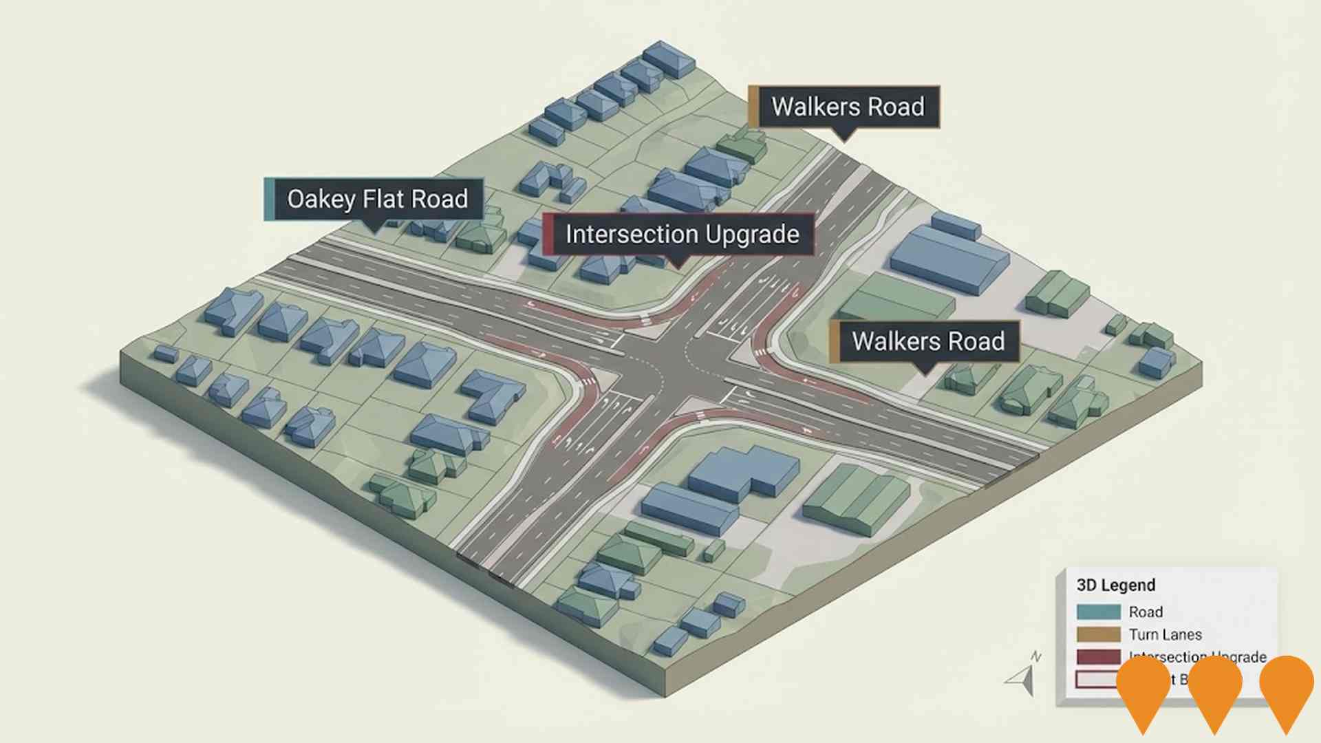
 Denotes AI-based impression for illustrative purposes only, not to be taken as definitive under any circumstances. Please follow links and conduct other investigations from the project's source for actual imagery. Developers and project owners wishing us to use original imagery please Contact Us and we will do so.
Frequently Asked Questions - Infrastructure
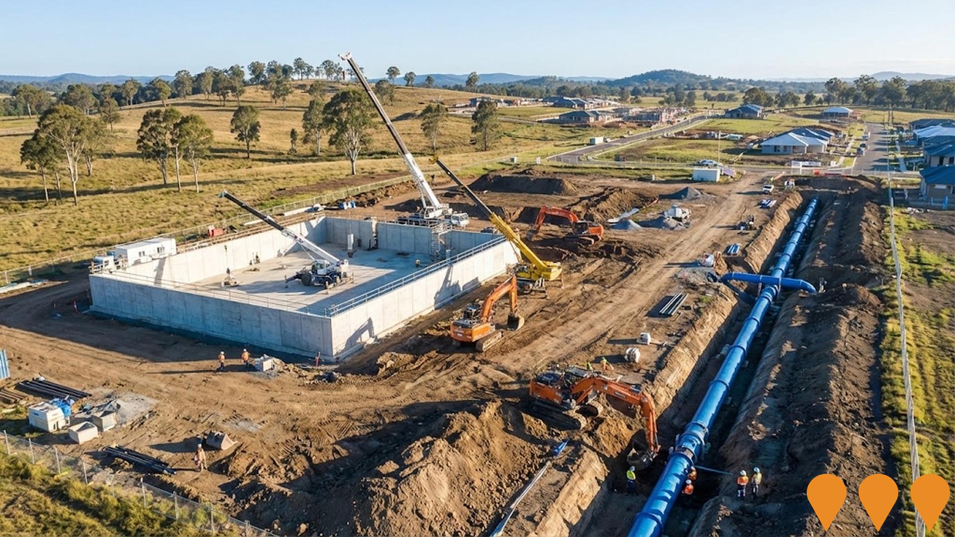
Pine Valley Water Supply Project
Major water infrastructure project delivered by Unitywater in partnership with Downer. Includes a new 15ML reservoir at Jacko Place, Morayfield and over 8km of large-diameter water mains to support rapid population growth in Caboolture West, Morayfield and Narangba. Designed to provide reliable water supply for more than 100,000 new residents over the next 20 years. Construction commenced early 2025 with practical completion expected mid-2027.
Morayfield South Emerging Community Area
900-hectare emerging community precinct in Morayfield, planned for approximately 9,800 new dwellings and a future population of around 26,000 people by 2046. Includes new district sports park, environmental corridors, schools, retail and community hubs. Council endorsed the final Morayfield South Future Directions Report on 13 August 2025, which now guides amendments to the Moreton Bay Planning Scheme to enable higher-density development.

Morayfield Marketplace
A $48 million neighbourhood shopping centre development by JAM Group and RankinCorp. Features a full-line Coles supermarket, medical centre, childcare centre, gym, specialty retail, food and beverage tenancies, service station and over 390 car parks. The centre is being delivered in stages with the childcare facility under construction in 2025 and the main centre works commencing mid-2025. Expected completion late 2026, creating approximately 225 ongoing jobs.

Morayfield Neighbourhood Planning Project
The Morayfield Neighbourhood Planning project addresses planning challenges and housing supply in Morayfield, projected to grow by more than 18,000 people by 2046, reaching 53,545 residents. It aims to sustainably manage growth, preserve 75% of the city as rural and natural landscapes, and guide development to enhance local identity. The Future Directions Report has been endorsed by Council on 13 August 2025, informing changes to the Planning Scheme and other actions.

Summerstone Estate
Summerstone is a master-planned residential community in Morayfield, approximately 45 km north of Brisbane CBD. The 450-lot estate features parks, reserves, playgrounds, a frisbee golf course, pump track, riding trails, and extensive landscaping. Construction is well underway with multiple stages actively progressing toward completion by 2027.

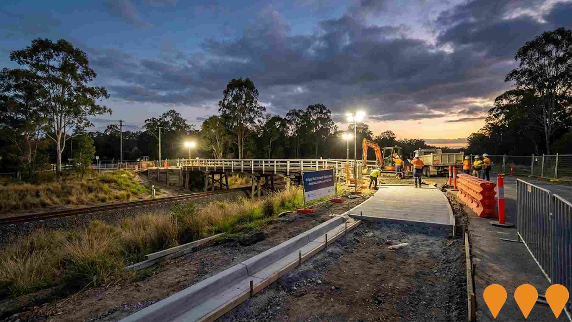
Buchanan Road and William Berry Drive Upgrade
A major $200 million transport infrastructure upgrade to widen Buchanan Road and William Berry Drive between Morayfield Road and the Bruce Highway. The project includes four-laning both roads, constructing a new bridge over the Caboolture railway line and Sheepstation Creek, upgrading the Graham Road intersection to traffic signals, and improving flood immunity. The upgrade will accommodate projected regional growth, provide better Bruce Highway connectivity, and include new pedestrian and cyclist pathways. The corridor currently carries 19,500 vehicles daily and is planned to handle 32,000 vehicles by 2036.

Caboolture River Road Upgrade
The Caboolture River Road upgrade involves transforming a four-kilometer section from Morayfield Road to west of Crome Court into an enhanced four-lane carriageway to meet growing community needs, supporting regional growth and improving traffic flow in response to population growth in the City of Moreton Bay. The upgrades are planned to accommodate future demands and benefit existing and new communities, including the development at Waraba (Caboolture West). The project is divided into three sub-projects, each with specific funding and delivery arrangements.

D'Aguilar Highway Upgrade - Woodford to Bracalba
Highway upgrade project to improve safety and traffic flow along the D'Aguilar Highway between Woodford and Bracalba. Includes overtaking lanes, intersection improvements, and safety barriers.

Employment
Employment performance in Morayfield - East has been broadly consistent with national averages
Morayfield - East has a balanced workforce with both white and blue collar jobs. Manufacturing and industrial sectors are prominent.
The unemployment rate was 4.5% in September 2021. Employment grew by an estimated 9.5% over the past year. As of September 2025, 6844 residents were employed while the unemployment rate was 4.5%, 0.5% higher than Greater Brisbane's rate of 4%. Workforce participation was lower at 62.4% compared to Greater Brisbane's 64.5%.
Leading industries include health care & social assistance, retail trade, and construction. Retail trade has particularly high employment levels, at 1.3 times the regional average. Professional & technical jobs have limited presence, with only 3.3% of employment compared to the regional average of 8.9%. The area appears to offer limited local employment opportunities based on Census data. Between September 2024 and September 2025, employment levels increased by 9.5%, while unemployment fell by 2.7 percentage points. In contrast, Greater Brisbane saw employment rise by 3.8% and unemployment fall by 0.5%. State-level data from 25-Nov-25 shows Queensland employment contracted by 0.01%, with an unemployment rate of 4.2%, closely matching the national rate of 4.3%. National employment forecasts from May-25 suggest employment should increase by 6.1% over five years and 13.0% over ten years in Morayfield - East, based on weighted extrapolations from industry-specific projections.
Frequently Asked Questions - Employment
Income
Income figures position the area below 75% of locations analysed nationally by AreaSearch
The median income in Morayfield - East SA2 was $47,745 and average income was $54,141 in the financial year 2022. These figures are below Greater Brisbane's median of $55,645 and average of $70,520 respectively. By September 2025, estimated incomes would be approximately $54,425 (median) and $61,715 (average), based on a 13.99% growth since the financial year 2022. According to the 2021 Census, household, family and personal incomes in Morayfield - East rank modestly, between the 34th and 34th percentiles. The predominant income cohort spans 38.4% of locals (5,242 people), earning $1,500 to $2,999 annually. This pattern is similar to surrounding regions where 33.3% fall within this income range. Housing affordability pressures are severe in Morayfield - East, with only 80.7% of income remaining after housing costs, ranking at the 30th percentile.
Frequently Asked Questions - Income
Housing
Morayfield - East is characterized by a predominantly suburban housing profile, with a higher proportion of rental properties than the broader region
Morayfield - East's dwelling structure, as per the latest Census, comprised 84.7% houses and 15.3% other dwellings (semi-detached, apartments, 'other' dwellings). Brisbane metro had 83.4% houses and 16.5% other dwellings. Home ownership in Morayfield - East was at 18.8%, with mortgaged dwellings at 37.5% and rented ones at 43.7%. The median monthly mortgage repayment was $1,517, lower than Brisbane metro's $1,625. Median weekly rent in Morayfield - East was $355, compared to Brisbane metro's $335. Nationally, Morayfield - East's mortgage repayments were significantly lower than the Australian average of $1,863, while rents were less than the national figure of $375.
Frequently Asked Questions - Housing
Household Composition
Morayfield - East features high concentrations of group households, with a fairly typical median household size
Family households constitute 76.2% of all households, including 31.0% couples with children, 26.6% couples without children, and 17.5% single parent families. Non-family households comprise the remaining 23.8%, with lone person households at 19.5% and group households making up 4.1%. The median household size is 2.7 people, aligning with the Greater Brisbane average.
Frequently Asked Questions - Households
Local Schools & Education
Morayfield - East faces educational challenges, with performance metrics placing it in the bottom quartile of areas assessed nationally
The area's university qualification rate is 11.3%, significantly lower than Greater Brisbane's average of 30.5%. Bachelor degrees are most common at 8.2%, followed by graduate diplomas (1.6%) and postgraduate qualifications (1.5%). Vocational credentials are prevalent, with 44.6% of residents aged 15+ holding them, including advanced diplomas (10.3%) and certificates (34.3%). Educational participation is high, with 30.5% currently enrolled in formal education: 11.7% in primary, 8.3% in secondary, and 3.4% in tertiary education.
Educational participation is notably high, with 30.5% of residents currently enrolled in formal education. This includes 11.7% in primary education, 8.3% in secondary education, and 3.4% pursuing tertiary education.
Frequently Asked Questions - Education
Schools Detail
Nearby Services & Amenities
Transport
Transport servicing is low compared to other areas nationally based on assessment of service frequency, route connectivity and accessibility
Morayfield - East has 19 active public transport stops. These are served by buses along two routes, offering a total of 274 weekly passenger trips. The average distance to the nearest stop for residents is 360 meters.
Service frequency is 39 trips per day across all routes, equating to about 14 weekly trips per individual stop.
Frequently Asked Questions - Transport
Transport Stops Detail
Health
Health performance in Morayfield - East is well below average with considerably higher than average prevalence of common health conditions and to an even higher degree among older age cohorts
Morayfield - East faces significant health challenges, with a higher prevalence of common health conditions compared to averages. This is particularly true for older age cohorts.
Only approximately 47% (~6,416 people) have private health cover, lower than the national average of 55.3%. Mental health issues and asthma are the most prevalent conditions in the area, affecting 11.5 and 10.3% of residents respectively. However, 62.7% of residents report having no medical ailments, slightly higher than the Greater Brisbane average of 61.9%. The area has a lower proportion of seniors aged 65 and over at 14.7% (2,008 people) compared to Greater Brisbane's 17.0%. Despite this, health outcomes among seniors require more attention due to presenting challenges.
Frequently Asked Questions - Health
Cultural Diversity
Morayfield - East ranks below the Australian average when compared to other local markets across a number of language and cultural background related metrics
Morayfield-East was found to have low cultural diversity, with 84.6% of its population being Australian citizens, born in Australia (80.9%), and speaking English at home exclusively (91.4%). Christianity is the predominant religion in Morayfield-East, practiced by 42.1% of the population. Notably, Buddhism, while a minority, is proportionally represented at 1.1%, matching Greater Brisbane's figure.
In terms of ancestry, the top three groups are English (30.2%), Australian (28.9%), and Scottish (7.0%). However, Maori (1.4%) and New Zealand (1.2%) ethnicities are slightly overrepresented compared to regional averages of 1.2% and 1.1%, respectively. Samoan ethnicity is also somewhat higher at 0.9%, versus the region's 0.7%.
Frequently Asked Questions - Diversity
Age
Morayfield - East hosts a very young demographic, ranking in the bottom 10% of areas nationwide
Morayfield - East's median age is 32 years, which is lower than Greater Brisbane's average of 36 years and significantly below Australia's median of 38 years. Compared to Greater Brisbane, Morayfield - East has a higher proportion of residents aged 5-14 (14.4%) but fewer residents aged 35-44 (12.6%). Between 2021 and the present, the population aged 75-84 has grown from 3.8% to 5.8%. Conversely, the 0-4 age group has decreased from 7.8% to 6.5%, and the 25-34 age group has dropped from 17.3% to 16.2%. By 2041, demographic modeling suggests Morayfield - East's age profile will change significantly. The 75-84 age cohort is projected to increase by 720 people (91%), from 789 to 1,510. Conversely, the 0-4 and 25-34 cohorts are expected to decrease in population.
