Chart Color Schemes
This analysis uses ABS Statistical Areas Level 2 (SA2) boundaries, which can materially differ from Suburbs and Localities (SAL) even when sharing similar names.
SA2 boundaries are defined by the Australian Bureau of Statistics and are designed to represent communities for statistical reporting (e.g., census and ERP).
Suburbs and Localities (SAL) represent commonly-used suburb/locality names (postal-style areas) and may use different geographic boundaries. For comprehensive analysis, consider reviewing both boundary types if available.
est. as @ -- *
ABS ERP | -- people | --
2021 Census | -- people
Sales Activity
Curious about local property values? Filter the chart to assess the volume and appreciation (including resales) trends and regional comparisons, or scroll to the map below view this information at an individual property level.
Find a Recent Sale
Sales Detail
Population
Greenwood - Warwick is positioned among the lower quartile of areas assessed nationally for population growth based on AreaSearch's assessment of recent, and medium term trends
Greenwood-Warwick's population was around 14,857 as of November 2025. This represented an increase of 1,134 people since the 2021 Census, which reported a population of 13,723. The growth was inferred from ABS data showing an estimated resident population of 14,800 in June 2024 and 73 new addresses validated after the Census date. This resulted in a population density of 1,735 persons per square kilometer, higher than the average across national locations assessed by AreaSearch. Greenwood-Warwick's growth rate of 8.3% since the census was close to the SA3 area's rate of 8.9%, indicating strong growth fundamentals. Overseas migration contributed approximately 55.2% of overall population gains during recent periods.
AreaSearch uses ABS/Geoscience Australia projections for each SA2 area, released in 2024 with a base year of 2022. For areas not covered by this data and projections post-2032, AreaSearch utilises growth rates by age cohort from the ABS's Greater Capital Region projections (released in 2023, based on 2022 data). Based on projected demographic shifts, Greenwood-Warwick is expected to grow by just below the median of statistical areas nationally. By 2041, it is projected to increase by 1,631 persons, reflecting a total gain of 10.6% over the 17 years.
Frequently Asked Questions - Population
Development
Recent residential development output has been above average within Greenwood - Warwick when compared nationally
Greenwood-Warwick recorded approximately 74 residential properties approved annually. Over the past five financial years, from FY21 to FY25, around 371 homes were granted approval, with an additional 20 approved in FY26 so far. On average, each dwelling accommodated about 2.1 new residents per year during these five years, reflecting strong demand that supports property values.
The average construction cost of new homes was approximately $170,000, which is below regional norms, indicating more affordable housing options for buyers. This financial year has seen around $19.4 million in commercial approvals, suggesting steady commercial investment activity. Compared to Greater Perth, Greenwood-Warwick exhibits 64.0% higher development activity per person. However, building activity has slowed in recent years.
Recent construction comprises predominantly standalone homes at 80.0%, with attached dwellings making up the remaining 20.0%, preserving the area's traditional suburban character focused on family homes. The population density of approximately 366 people per approval indicates a mature market. According to the latest AreaSearch quarterly estimate, Greenwood-Warwick is projected to grow by around 1,574 residents by 2041. At current development rates, new housing supply should comfortably meet demand, providing favorable conditions for buyers and potentially supporting growth beyond current population projections.
Frequently Asked Questions - Development
Infrastructure
Greenwood - Warwick has limited levels of nearby infrastructure activity, ranking in the 15thth percentile nationally
The performance of an area can significantly be influenced by changes in local infrastructure, major projects, and planning initiatives. AreaSearch has identified a total of 8 projects that are expected to impact the area. Notable projects include Warwick Quarter, Warwick Quarter Mixed-Use Development, Glengarry Shopping Centre Redevelopment, and Moolanda Boulevard Footbridge Replacement. The following list details those projects deemed most relevant:.
Professional plan users can use the search below to filter and access additional projects.
INFRASTRUCTURE SEARCH
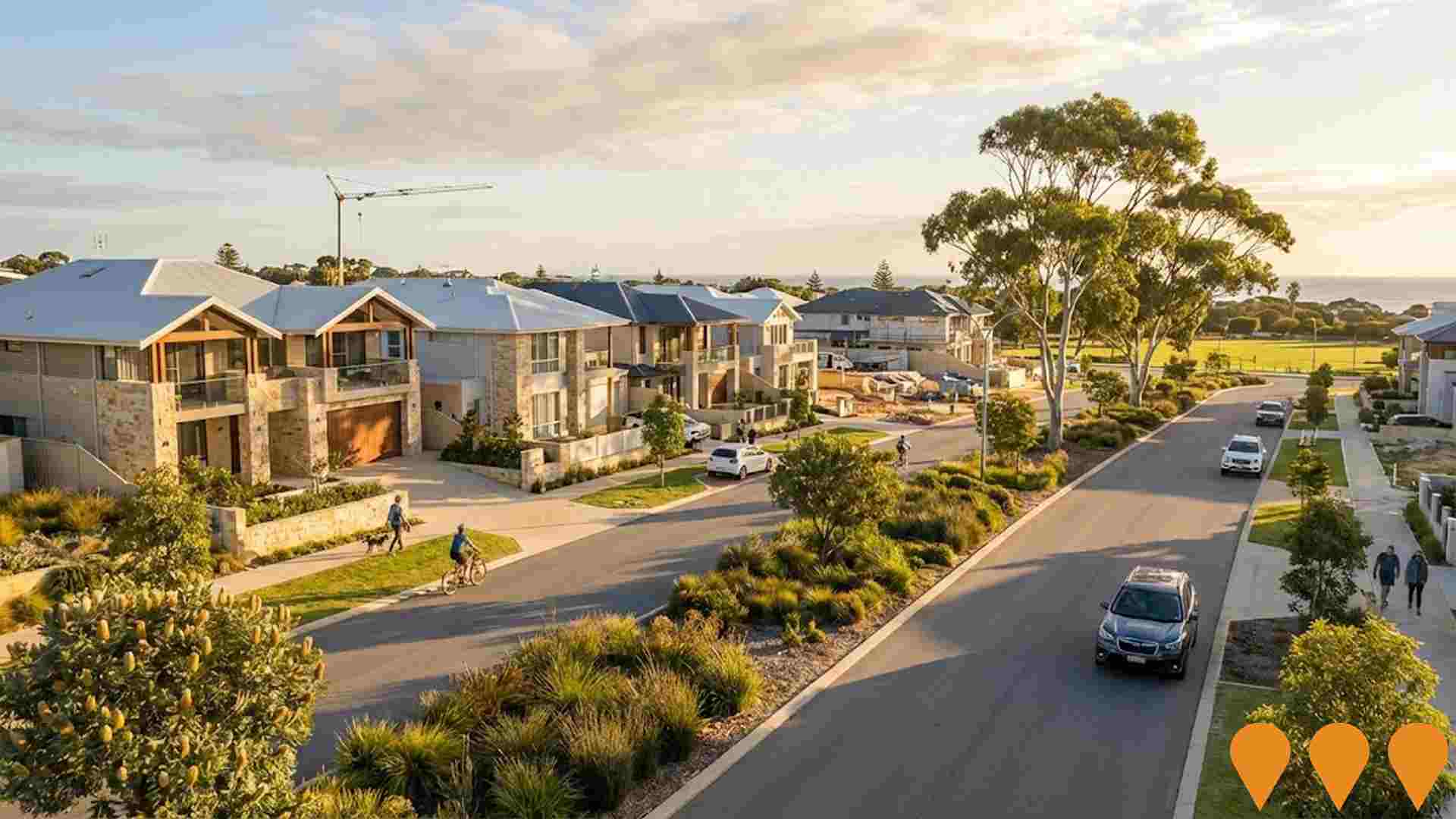
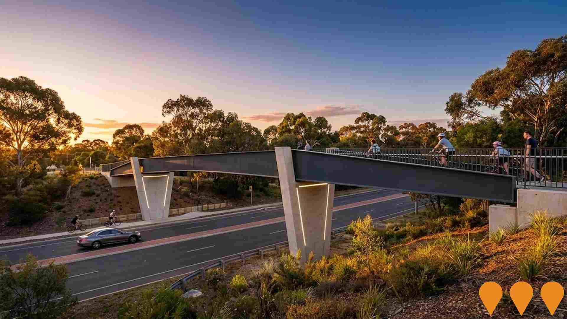
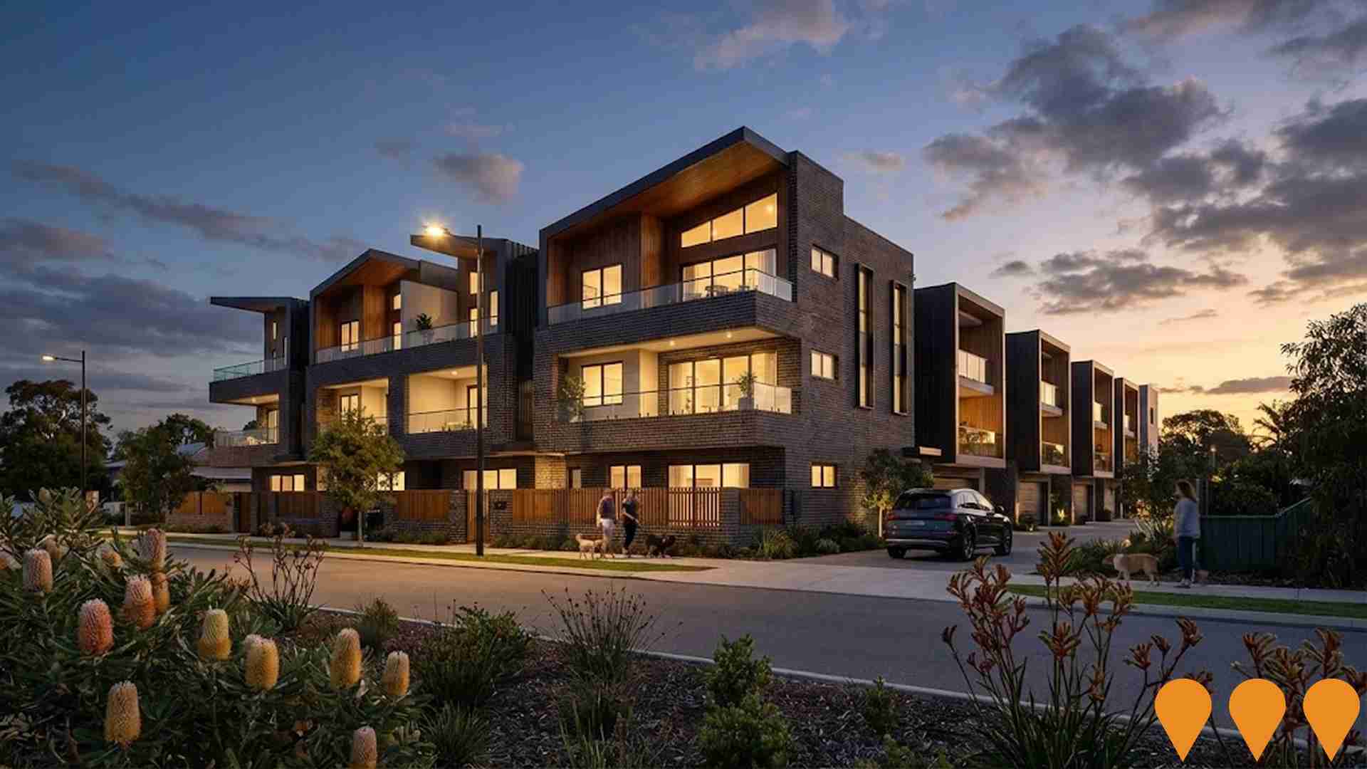
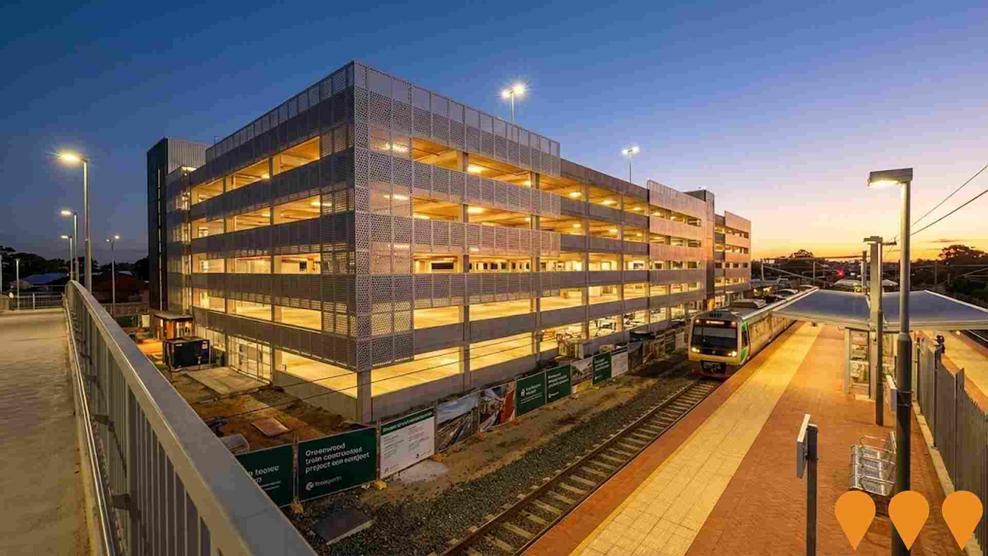
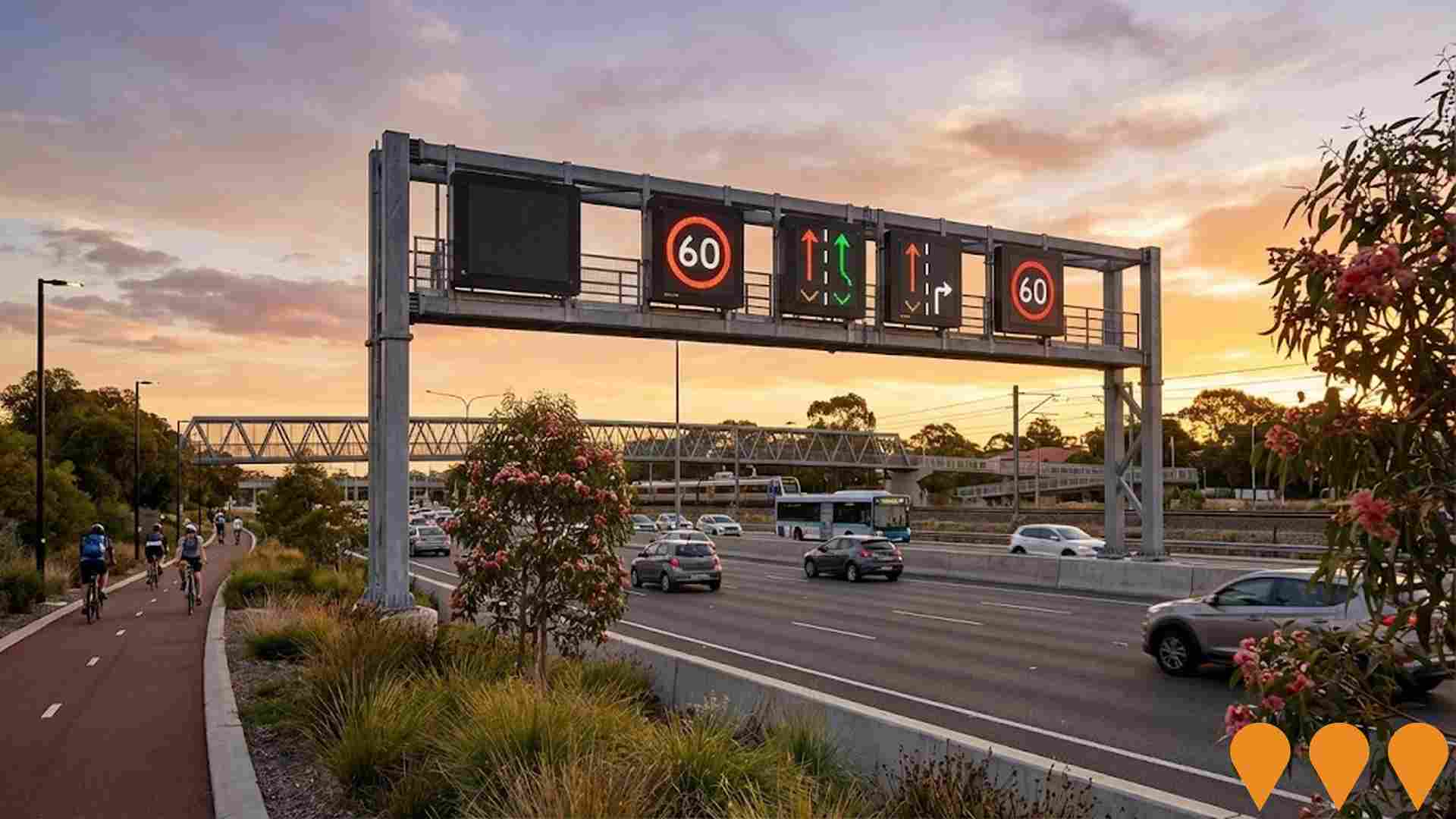
 Denotes AI-based impression for illustrative purposes only, not to be taken as definitive under any circumstances. Please follow links and conduct other investigations from the project's source for actual imagery. Developers and project owners wishing us to use original imagery please Contact Us and we will do so.
Frequently Asked Questions - Infrastructure
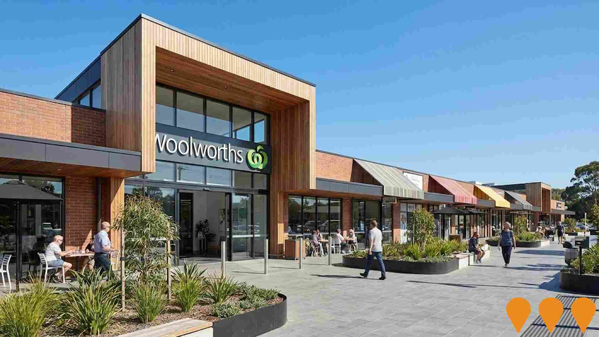
Glengarry Shopping Centre Redevelopment
Redevelopment of the existing nearly 50-year-old Glengarry Shopping Centre into a modern retail precinct featuring a new full-line Woolworths supermarket, specialty shops, cafes, restaurants, convenience stores, and offices, creating a vibrant village atmosphere.
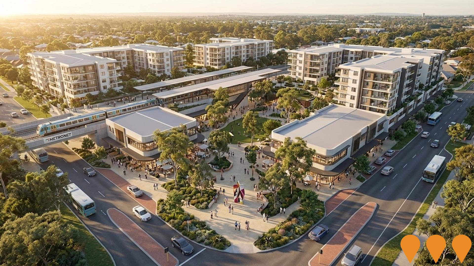
Madeley Central
A proposed mixed-use activity centre precinct around the future Madeley Train Station (METRONET Lakelands to Yanchep extension), incorporating higher-density residential, retail, commercial offices and community facilities centred on a new town square.
Hocking Lenore Road Dual Carriageway Upgrade
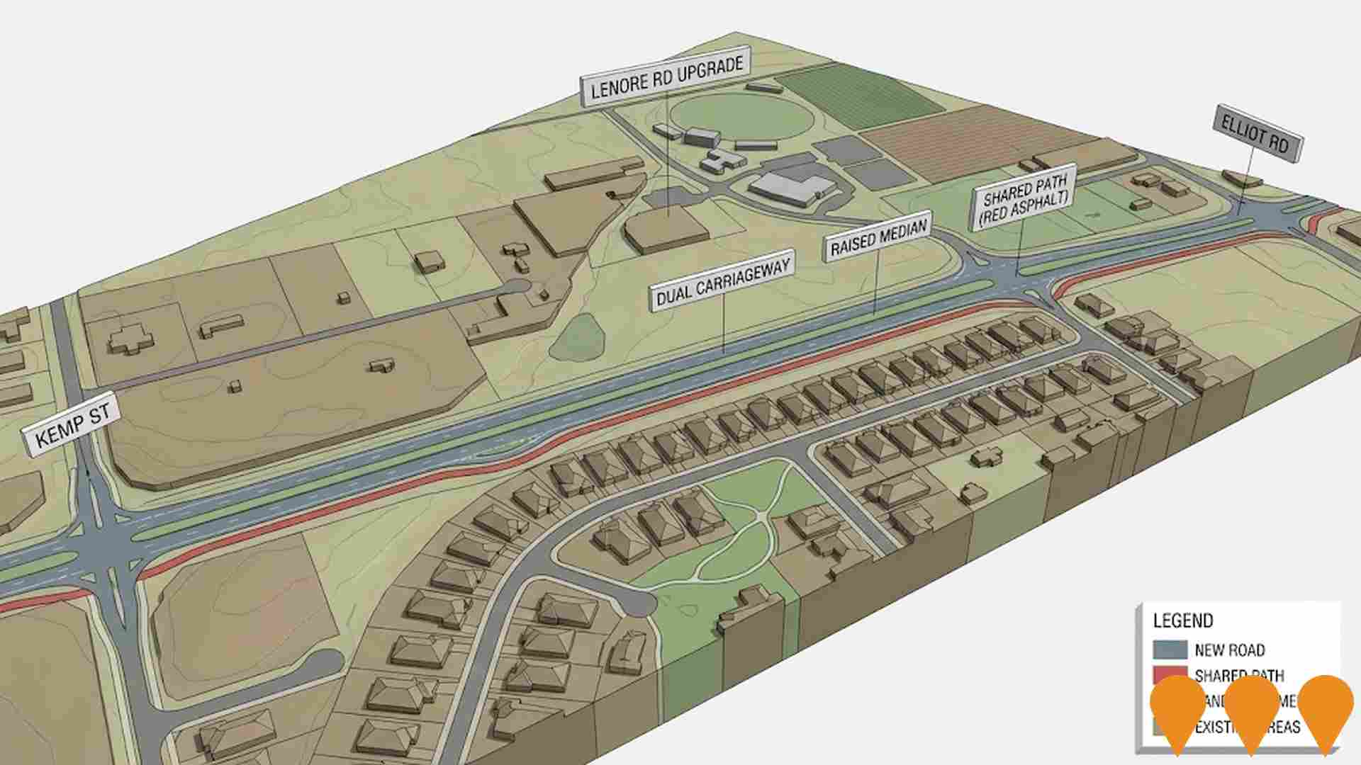
Upgrade of Lenore Road to a four-lane dual carriageway between Kemp Street and Elliot Road to reduce congestion and improve traffic flow for the community. Includes two lanes in each direction, raised median strip, U-turn facilities for property access, and a 3m red asphalt shared path on the eastern side.
Wanneroo Road Intersection Upgrades
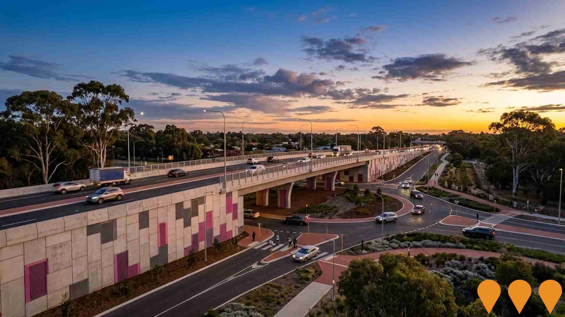
Range of intersection upgrades along Wanneroo Road including Warwick Road, Hepburn Avenue, Gnangara Road, East Road and Whitfords Avenue intersections as part of $35.9 million program.
Warwick Quarter
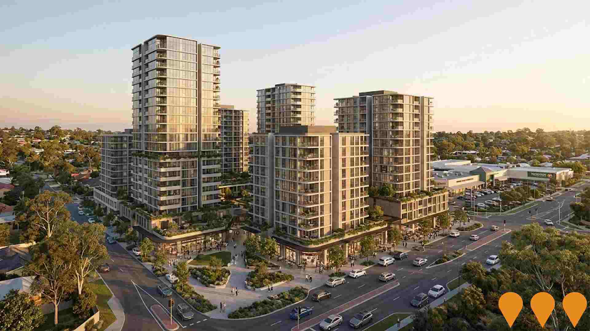
Warwick Quarter is a proposed $280 million mixed-use residential precinct behind Warwick Grove Shopping Centre in Perths northern suburbs. The application to the Western Australian Planning Commission seeks approval for seven buildings from 7 to 25 storeys containing about 1,042 apartments, around 574 square metres of commercial floorspace and more than 1,500 basement parking bays across multiple lots on Ellersdale Avenue and Dugdale Street in Warwick. The project is being assessed under the Part 17 Significant Development pathway and is subject to extensive community consultation and parliamentary petition processes.
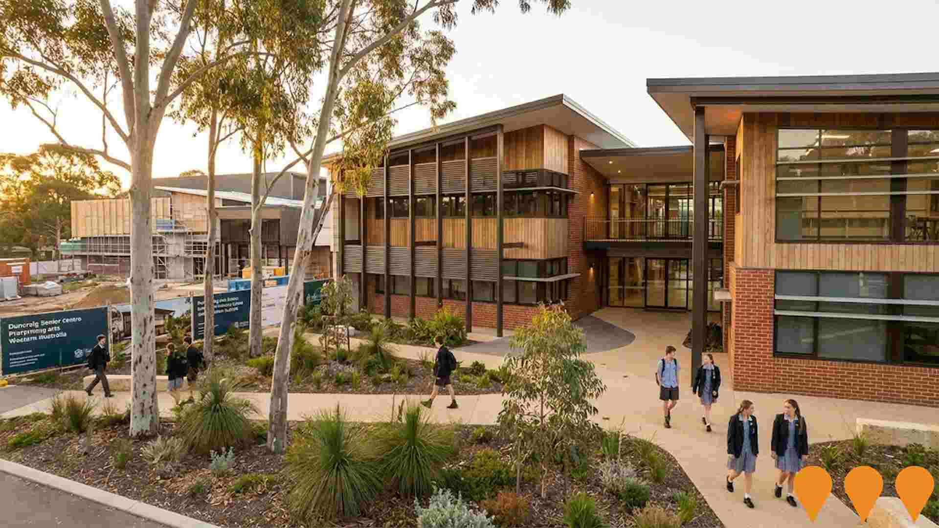
Carine Senior High School Redevelopment
Redevelopment of Carine Senior High School delivering a new four storey building with a sports hall, four science laboratories, a prep room, two food technology classrooms, eighteen general learning classrooms, two IT laboratories and associated amenities. The upgrade was designed to support an additional 600 students and was completed by mid 2023.

Carine Glades Estate
A masterplanned residential community featuring 185 large family-sized lots surrounding the established Carine Open Space parklands. The estate is fully sold and largely built out, having been completed by 2023.
Smart Freeway Mitchell Southbound
Smart freeway upgrade on Mitchell Freeway southbound between Hester Avenue and Vincent Street in Perth. The project introduced coordinated ramp signals on 16 on ramps, 23 overhead gantries with variable speed and lane use signs, more than 1400 pieces of smart technology including sensors, CCTV and incident detection, and shared path improvements. A third southbound lane was added between Hodges Drive and Hepburn Avenue. The system went live on 22 December 2024 and now manages traffic in real time to cut congestion and improve safety for around 190000 motorists each day.
Employment
The labour market in Greenwood - Warwick shows considerable strength compared to most other Australian regions
Greenwood-Warwick has a skilled workforce with prominent representation in essential services sectors. Its unemployment rate is 3.1%, lower than Greater Perth's 4.0%.
Employment growth over the past year was estimated at 4.1%. As of September 2025, 8,269 residents are employed while the unemployment rate is 0.9% below Greater Perth's rate. Workforce participation in Greenwood-Warwick matches Greater Perth's 65.2%. Dominant employment sectors include health care & social assistance, construction, and education & training.
Construction shows strong specialization with an employment share of 1.4 times the regional level. Conversely, manufacturing has lower representation at 4.2% compared to the regional average of 5.5%. Limited local employment opportunities are indicated by the count of Census working population versus resident population. Over the year to September 2025, employment increased by 4.1% while labour force grew by 3.6%, reducing unemployment by 0.5 percentage points. Greater Perth recorded employment growth of 2.9%. State-level data as of 25-Nov shows WA employment contracted by 0.27%, with the state unemployment rate at 4.6% compared to the national rate of 4.3%. National employment forecasts from May-25 project a 6.6% increase over five years and 13.7% over ten years. Applying these projections to Greenwood-Warwick's employment mix suggests local employment should grow by 6.5% over five years and 13.5% over ten years.
Frequently Asked Questions - Employment
Income
Income analysis reveals strong economic positioning, with the area outperforming 60% of locations assessed nationally by AreaSearch
AreaSearch's latest postcode level ATO data for financial year 2022 shows that income in Greenwood - Warwick SA2 is higher than average nationally. The median income is $56,944 and the average income stands at $69,003. In comparison, Greater Perth has a median income of $58,380 and an average income of $78,020. Based on Wage Price Index growth of 14.2% since financial year 2022, current estimates for Greenwood - Warwick would be approximately $65,030 (median) and $78,801 (average) as of September 2025. According to the 2021 Census, household, family and personal incomes in Greenwood - Warwick cluster around the 59th percentile nationally. The income bracket of $1,500 - 2,999 dominates with 32.1% of residents (4,769 people). After housing, 85.7% of income remains for other expenses. The area's SEIFA income ranking places it in the 6th decile.
Frequently Asked Questions - Income
Housing
Greenwood - Warwick is characterized by a predominantly suburban housing profile, with above-average rates of outright home ownership
Greenwood-Warwick's dwellings were 91.7% houses and 8.3% other types at the latest Census. Perth metro had 88.7% houses and 11.3% others. Home ownership in Greenwood-Warwick was 38.1%, similar to Perth metro, with mortgages at 46.0% and rentals at 15.9%. The median monthly mortgage repayment was $1,950, below Perth's $2,080, and median weekly rent was $400, equal to Perth's figure. Nationally, Greenwood-Warwick's mortgage repayments were higher at $1,863 and rents exceeded the national average of $375.
Frequently Asked Questions - Housing
Household Composition
Greenwood - Warwick has a typical household mix, with a lower-than-average median household size
Family households account for 75.7 percent of all households, including 33.8 percent couples with children, 29.5 percent couples without children, and 11.5 percent single parent families. Non-family households constitute the remaining 24.3 percent, with lone person households at 21.7 percent and group households comprising 2.5 percent of the total. The median household size is 2.6 people, smaller than the Greater Perth average of 2.7.
Frequently Asked Questions - Households
Local Schools & Education
The educational profile of Greenwood - Warwick exceeds national averages, with above-average qualification levels and academic performance metrics
In Greenwood-Warwick, university qualification levels are at 28.1%, slightly below the Australian average of 30.4%. Bachelor degrees are the most common, at 19.8%, followed by postgraduate qualifications (4.9%) and graduate diplomas (3.4%). Vocational credentials are held by 37.0% of residents aged 15+, with advanced diplomas at 11.5% and certificates at 25.5%.
Educational participation is high, with 27.5% currently enrolled in formal education. This includes 9.7% in primary education, 7.9% in secondary education, and 4.6% pursuing tertiary education.
Frequently Asked Questions - Education
Schools Detail
Nearby Services & Amenities
Transport
Transport servicing is high compared to other areas nationally based on assessment of service frequency, route connectivity and accessibility
Greenwood-Warwick has 100 active public transport stops offering a mix of train and bus services. These stops are served by 32 individual routes that collectively facilitate 6,275 weekly passenger trips. Transport accessibility is rated as excellent with residents typically located 199 meters from the nearest stop.
Service frequency averages 896 trips per day across all routes, equating to approximately 62 weekly trips per stop.
Frequently Asked Questions - Transport
Transport Stops Detail
Health
Greenwood - Warwick's residents are healthier than average in comparison to broader Australia with a fairly standard level of common health conditions seen across both young and old age cohorts
Health data for Greenwood-Warwick shows positive outcomes with common health conditions seen equally across young and old age groups. Private health cover is high at approximately 54% of the total population (~7,978 people), compared to 59.3% in Greater Perth.
The most common medical conditions are arthritis (8.2%) and asthma (7.8%). Around 68.6% of residents report no medical ailments, compared to 71.5% in Greater Perth. Approximately 20.7% of residents are aged 65 and over (3,075 people). Health outcomes among seniors are above average, outperforming the general population in health metrics.
Frequently Asked Questions - Health
Cultural Diversity
The level of cultural diversity witnessed in Greenwood - Warwick was found to be slightly above average when compared nationally for a number of language and cultural background related metrics
Greenwood-Warwick showed higher-than-average cultural diversity, with 11.7% of its residents speaking a language other than English at home and 29.8% born overseas. Christianity was the predominant religion in Greenwood-Warwick, making up 47.9% of its population. Notably, Judaism was overrepresented compared to Greater Perth, comprising 0.2% versus 0.1%.
The top three ancestry groups were English at 30.3%, Australian at 24.8%, and Irish at 9.0%. Some ethnic groups showed notable differences in representation: Welsh were slightly overrepresented at 0.9% (versus 1.1%), South African at 1.0% (versus 1.8%), and New Zealand at 1.1% (versus 0.9%).
Frequently Asked Questions - Diversity
Age
Greenwood - Warwick's population is slightly older than the national pattern
Greenwood - Warwick has a median age of 40, which is higher than Greater Perth's figure of 37 years. This is also marginally higher than Australia's median age of 38 years. Compared to the Greater Perth average, Greenwood - Warwick has an over-representation of the 75-84 age cohort (8.6% locally) and an under-representation of the 25-34 age group (11.0%). From 2021 to present, the 75-84 age group has grown from 6.3% to 8.6%, while the 15-24 cohort increased from 10.6% to 12.0%. Conversely, the 65-74 age cohort has declined from 12.7% to 10.3%. By 2041, demographic modeling suggests Greenwood - Warwick's age profile will change significantly. The 75-84 age cohort is projected to expand by 541 people (43%), growing from 1,273 to 1,815. Notably, the combined 65+ age groups are expected to account for 56% of total population growth, reflecting the area's aging demographic profile. Meanwhile, the 0-4 and 5-14 cohorts are expected to experience population declines.
