Chart Color Schemes
This analysis uses ABS Statistical Areas Level 2 (SA2) boundaries, which can materially differ from Suburbs and Localities (SAL) even when sharing similar names.
SA2 boundaries are defined by the Australian Bureau of Statistics and are designed to represent communities for statistical reporting (e.g., census and ERP).
Suburbs and Localities (SAL) represent commonly-used suburb/locality names (postal-style areas) and may use different geographic boundaries. For comprehensive analysis, consider reviewing both boundary types if available.
est. as @ -- *
ABS ERP | -- people | --
2021 Census | -- people







Curious about local property values? Filter the chart to assess the volume and appreciation (including resales) trends and regional comparisons, or scroll to the map below view this information at an individual property level.


Find a Recent Sale

Sales Detail
Coober Pedy has an estimated 1,526 residents, down from 1,566 at the 2021 Census — a change of 40 people, or 2.6%. The population has thinned by an average 2.0% a year over five years, slower than 98% of areas nationally. Density is about 20 people per square kilometre. Population is estimated from ABS Estimated Resident Population releases and GNAF address data, re-based from the 2021 Census and updated annually.
Detail
According to research conducted by AreaSearch, the population residing in Coober Pedy stands at approximately 1,526 as of Aug 2026. This represents a contraction of 40 people (2.6%) compared with the 1,566 people recorded during the 2021 Census. Such movement is calculated using ABS estimated resident population data showing 1,526 persons as of June 2025 alongside 1 validated new addresses registered following the Census. The resulting population density sits at 19.6 persons per square kilometer, indicating a very low-density living environment. Growth across the locality has been almost entirely sustained by arrivals via overseas migration, serving as the primary source of demographic increase in recent times.
Projections published by ABS/Geoscience Australia in 2024 using 2022 baseline figures are utilized by AreaSearch across SA2 regions. In locations lacking direct coverage or looking past post-2032, population figures rely on 2023 SA State Government Regional/LGA age-cohort estimates (anchored to 2021 data), adjusted via weighted distribution models bridging LGA and SA2 levels. Long-term outlooks place the region in the bottom quartile of non-metropolitan population expansion nationwide, with forecasts projecting a net gain of 5 persons through to 2041 under latest annual ERP figures, translating to an overall growth rate of 0.3% across the 16 years.
Frequently Asked Questions - Population
Detail
Residential building activity in Coober Pedy remains exceptionally subdued, averaging under 1 new dwellings approved per year, with an aggregate of 2 over the recent five-year timeframe. Such muted building numbers align with the remote setting of the community, where construction responds to niche local housing requirements rather than broad market demand. Given these minimal permit counts, annual percentage shifts and comparative metrics can fluctuate sharply due to single projects. Building approvals and construction volumes in Coober Pedy lag substantially behind Rest of SA benchmarks. Overall development intensity also sits well below figures recorded across the country.
Frequently Asked Questions - Development
Development applications around Coober Pedy
Loading development applications…
| Lodged | Address | Description | Type | Distance | Status |
|---|
SOURCE: Planning portals and council registers, compiled by AreaSearch. Distance & bearing measured from the suburb midpoint.
AreaSearch tracks 81 current infrastructure and development projects close to Coober Pedy, worth an estimated $24.8 billion. 24 are already under construction and 15 are due for completion within three years. The pipeline spans transport & logistics, residential development and energy. Records are compiled from Infrastructure Australia, state agencies, council planning portals and public announcements, reviewed and updated daily, then ranked by proximity, construction stage, completion horizon and project scale.
Detail
Regional development and socioeconomic conditions are heavily guided by civil works, major state programs, and capital investments. At present, no active major capital projects have been pinpointed by AreaSearch within the immediate locality. Prominent surrounding initiatives include the Gawler Craton Rail Access, Bulk Water Supply Security, Northern Water Supply Project, alongside Enabling Infrastructure for Hydrogen Production.
Professional plan users can use the search below to filter and access additional projects.
INFRASTRUCTURE SEARCH
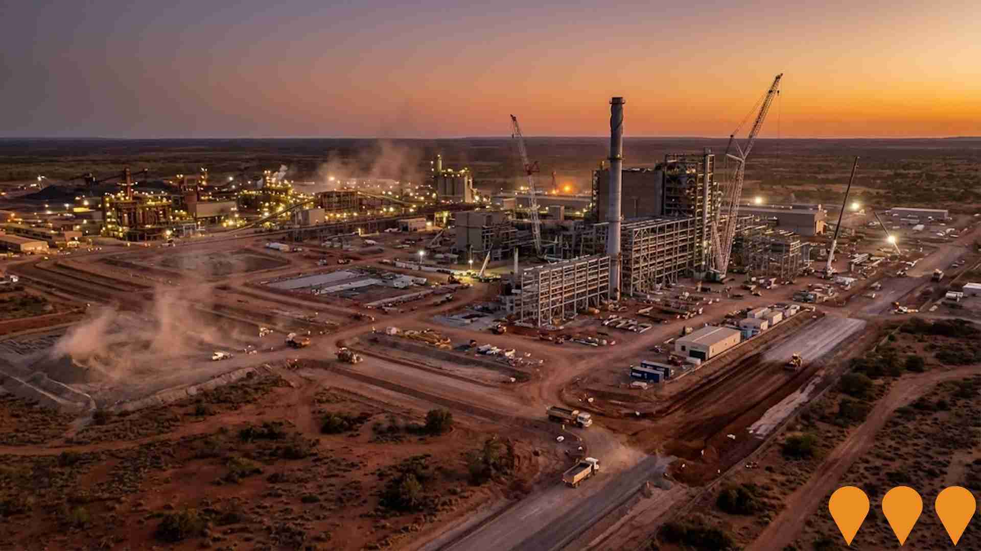
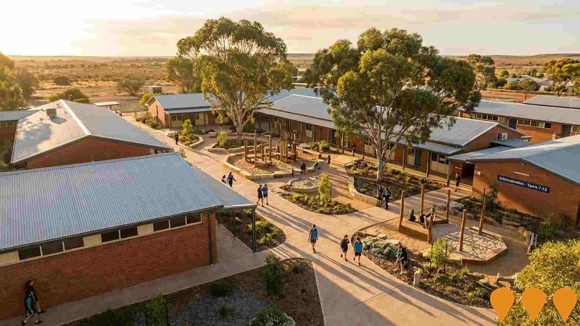
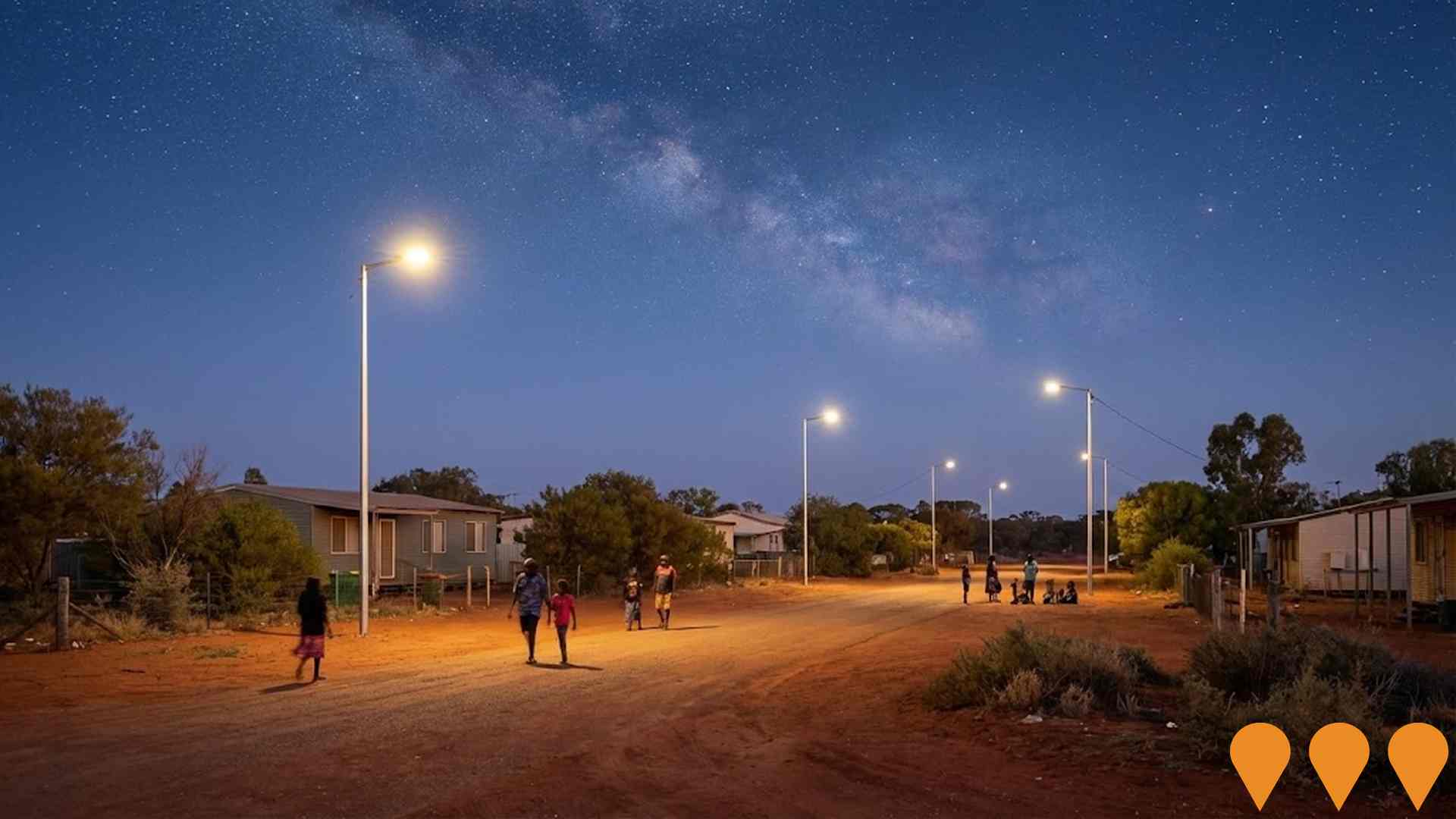
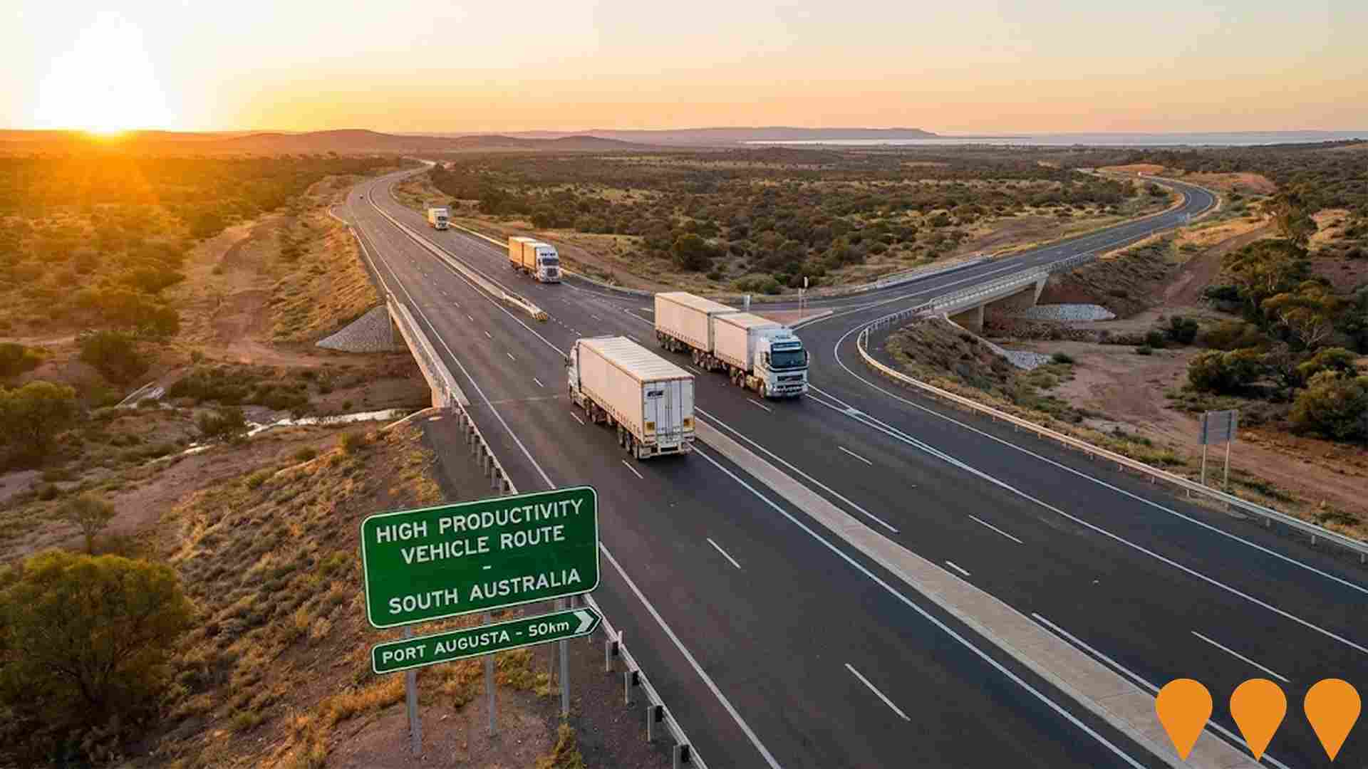
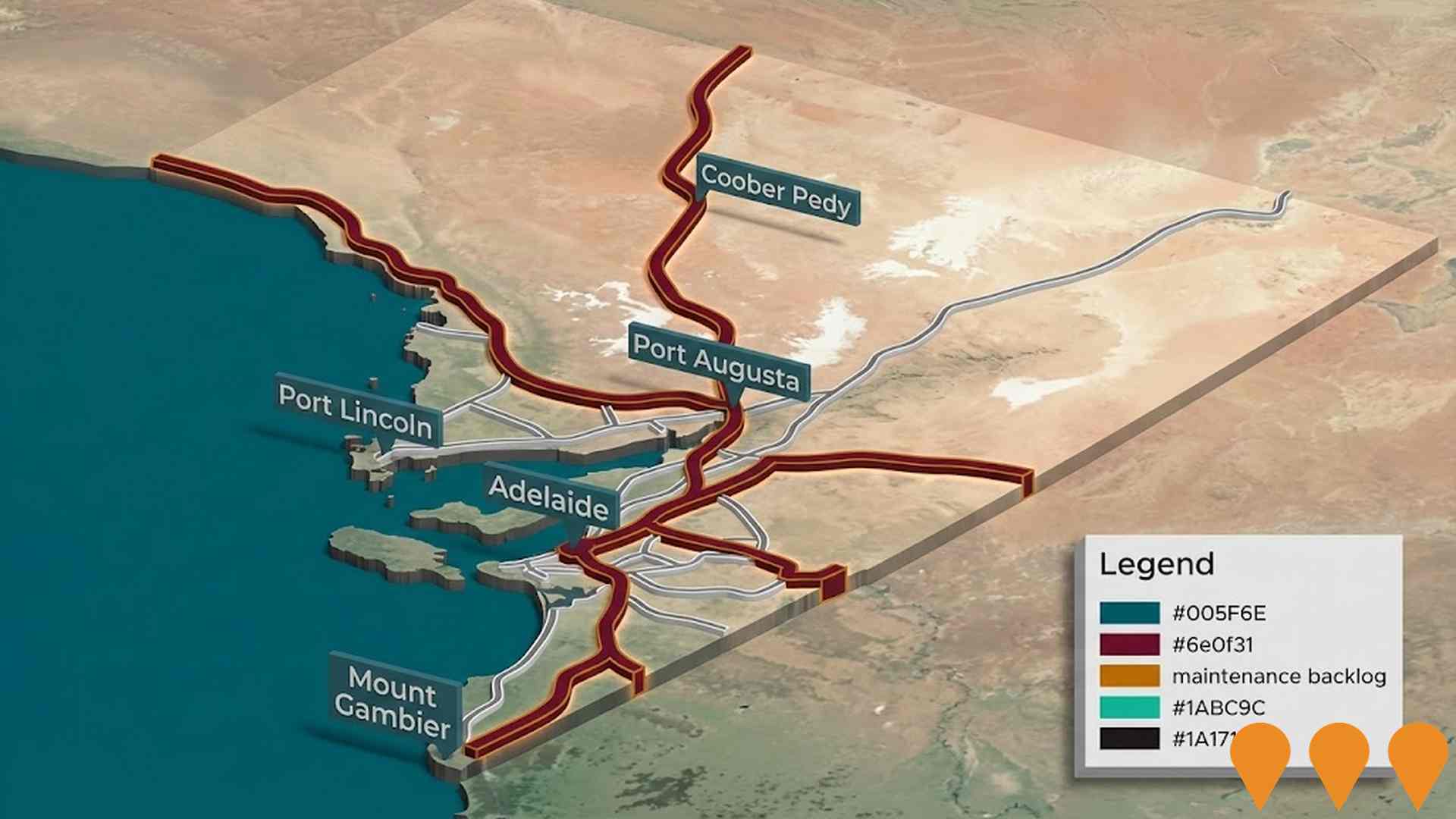
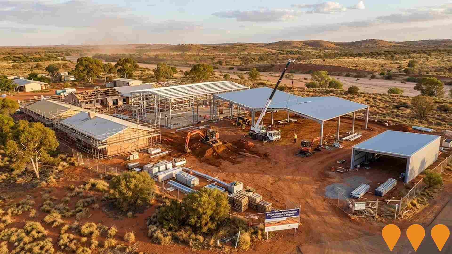
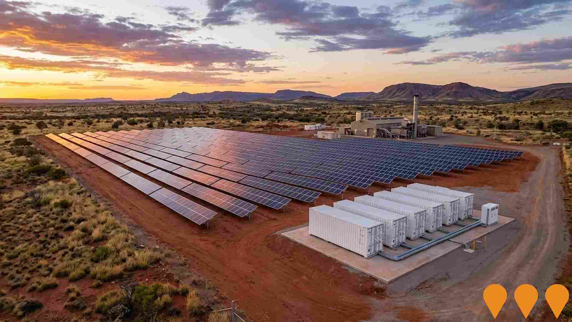
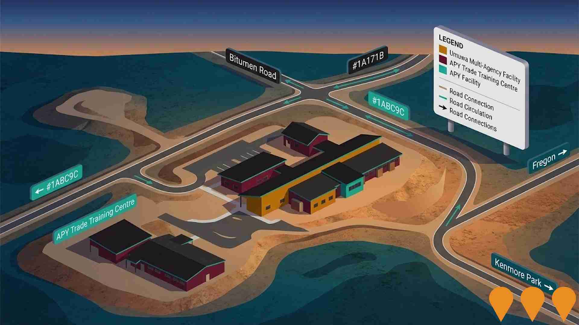
 Denotes AI-based impression for illustrative purposes only, not to be taken as definitive under any circumstances. Please follow links and conduct other investigations from the project's source for actual imagery. Developers and project owners wishing us to use original imagery please Contact Us and we will do so.
Frequently Asked Questions - Infrastructure
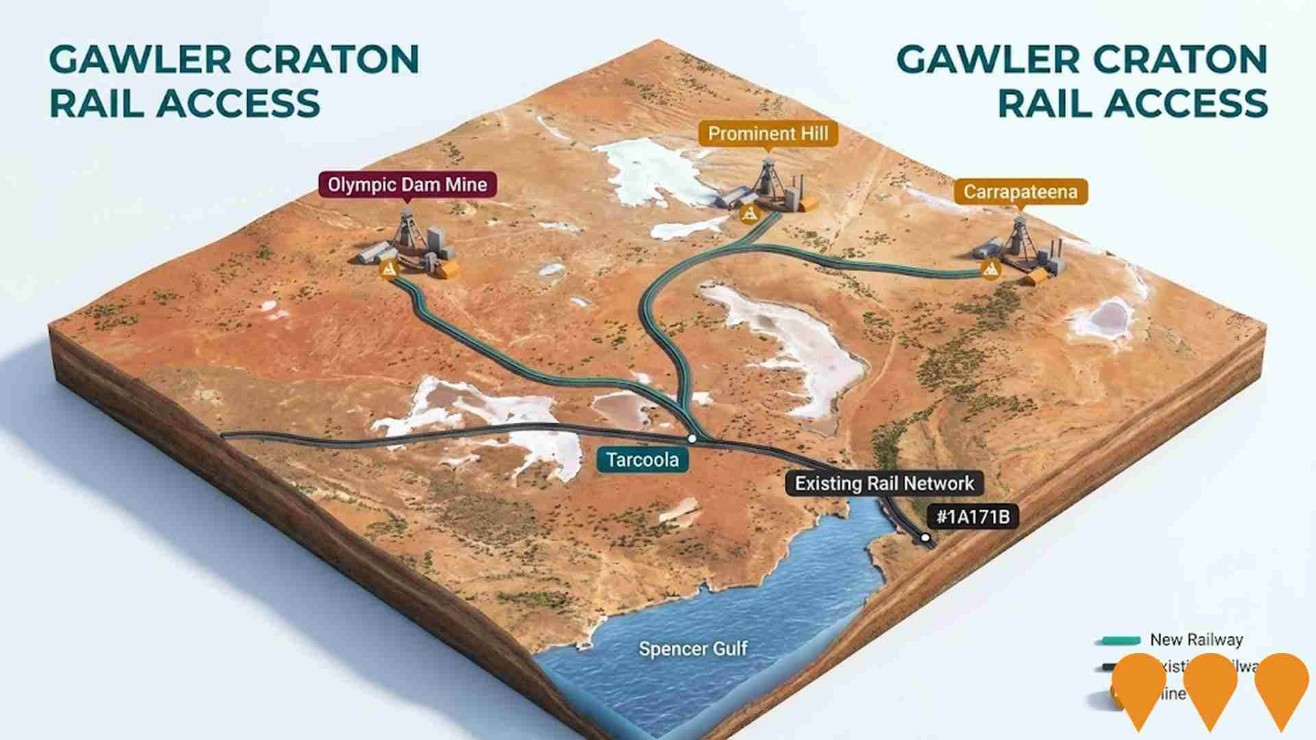
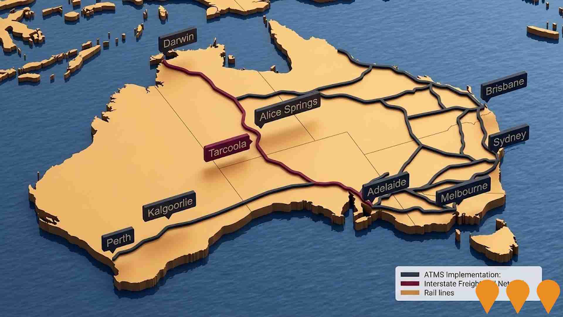
Gawler Craton Rail Access
The proposal is for a third party to build, own, and operate a 350 km railway in the Gawler Craton province, linking to the existing interstate rail network. It aims to provide significant transport connections to mines such as Prominent Hill, Olympic Dam, and Carrapateena, and open up other potential reserves including Wirrda Well, Acropolis, Vulcan, Titan, and Millers Creek. The project could facilitate exploration and development in the remote mineral region, which contains extensive copper, gold, silver, and iron ore deposits.
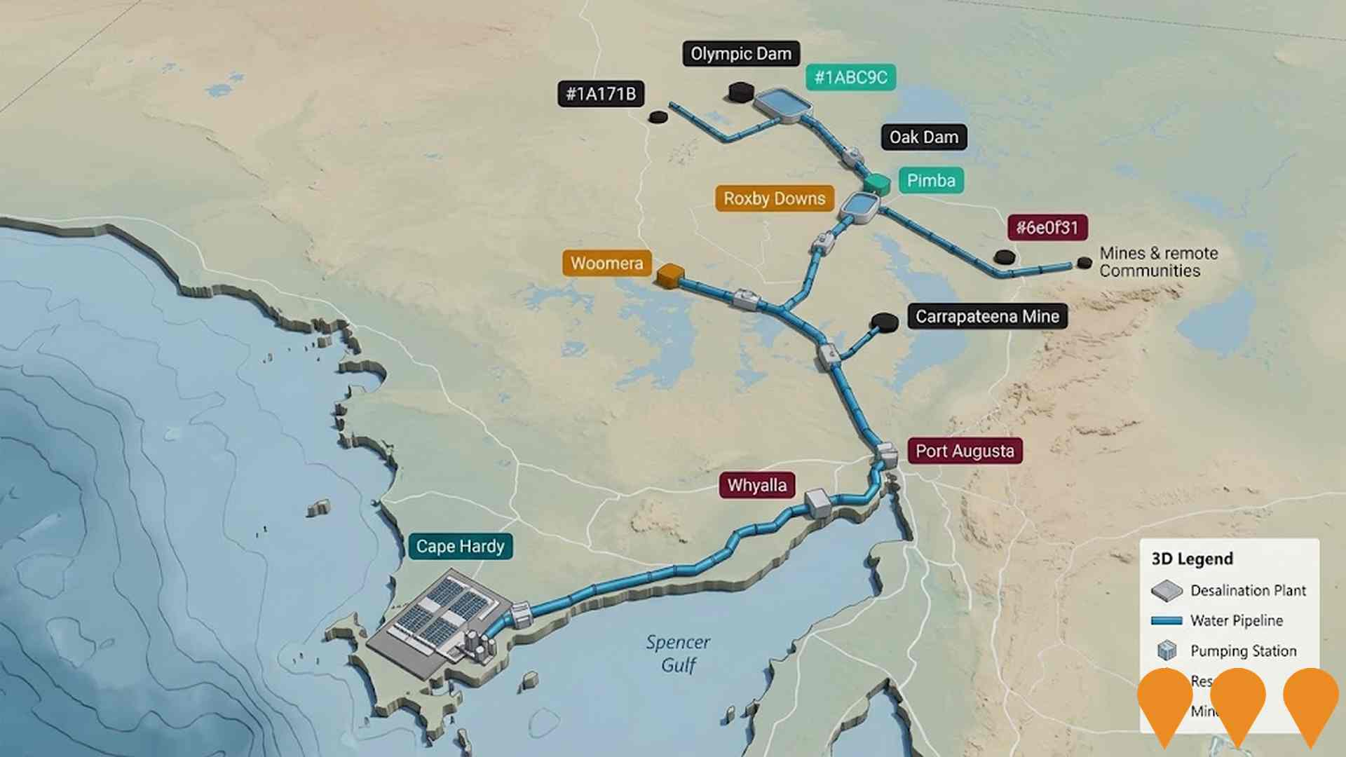
Northern Water Supply Project
The Northern Water Supply Project is a transformational water infrastructure initiative to enhance water security in Far North South Australia. The project involves construction of a seawater reverse osmosis desalination plant at Cape Hardy in the Spencer Gulf with up to 260 megalitres per day capacity, connected by a 600-kilometre pipeline network to the Upper Spencer Gulf and Far North regions. The project aims to service mining operations, industry (including hydrogen), Department of Defence, remote communities, pastoralists and SA Water, reducing reliance on the Great Artesian Basin, River Murray and local groundwater resources.The main transfer pipeline will link Eastern Eyre Peninsula, Whyalla, Port Augusta, Woomera, Carapateena, Roxby Downs, Pimba, Oak Dam and Olympic Dam. Supporting infrastructure includes pumping stations, large storage facilities, flow regulation valves, control facilities, and electricity transmission lines. The project supports the South Australian Government's Copper Strategy to triple copper production to 1 million tonnes per year by 2030 and enables growth in clean energy and hydrogen industries.
Bulk Water Supply Security
Nationwide program led by the National Water Grid Authority to improve bulk water security and reliability for non-potable and productive uses. Activities include strategic planning, science and business cases, and funding of state and territory projects such as storages, pipelines, dam upgrades, recycled water and efficiency upgrades to build drought resilience and support regional communities, industry and the environment.

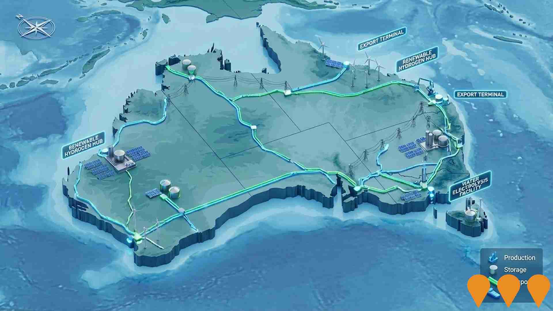
Enabling Infrastructure for Hydrogen Production
Enabling Infrastructure for Hydrogen Production is an Infrastructure Australia Priority List national initiative sponsored by the Department of Climate Change, Energy, the Environment and Water (DCCEEW) and ARENA. The proposal focuses on identifying and co-funding common-user supply chains, transmission lines, water pipelines, and port facilities connecting Renewable Energy Zones. It establishes foundational infrastructure needed to scale up domestic green hydrogen production and export capabilities.
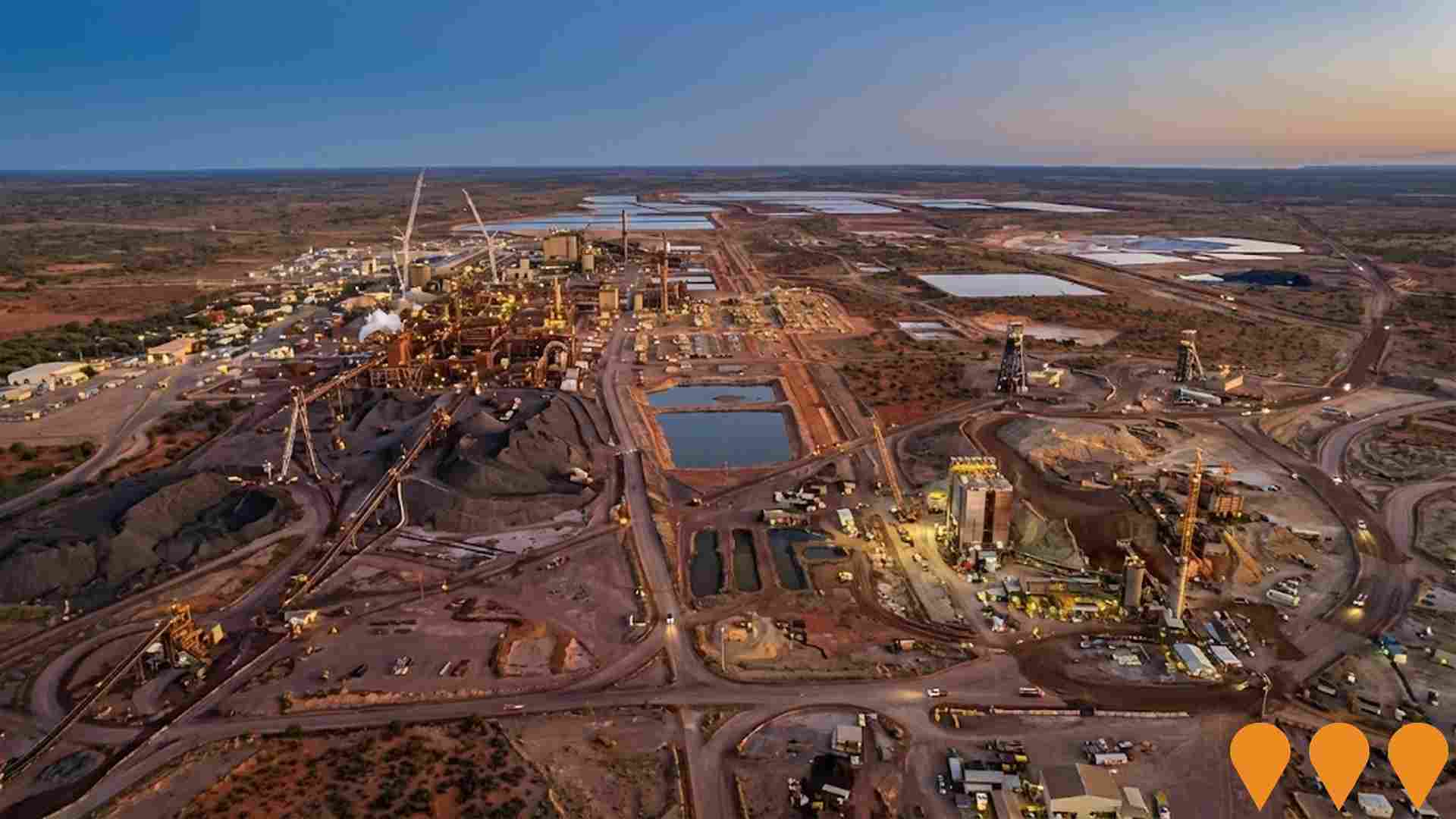
Olympic Dam Underground Growth Projects
A series of growth-enabling underground mining and processing projects representing an A$840 million investment by BHP at Olympic Dam in South Australia. Key elements include: a new underground access decline into the Southern Mine Area to improve access and streamline transport of people and equipment; a new paste backfill delivery system using underground pipes to stabilise mined areas and unlock previously inaccessible ore sections; expansion of ore pass capacity with 6 new locomotives and an extended underground electric rail network from 4.85 km to over 6 km; and installation of a new oxygen plant to support smelter debottlenecking, targeting an increase in copper concentrate smelting rates from 80 to 85 tonnes per hour.Together these projects underpin BHP's strategy to grow Copper SA annual output from 1.7 million to 2.5 million tonnes. Approximately 200 construction jobs are being created.
Olympic Dam Smelter Refinery Expansion Project
BHP Olympic Dam Corporation Pty Ltd proposes to expand smelting and refining activities at Olympic Dam as part of Copper South Australia growth. The project would lift smelting and refinery capacity from about 200,000 tonnes per annum of copper cathode and associated products to up to 650,000 tonnes per annum, including a second smelter furnace, repurposing of the existing Direct-to-Blister Flash Furnace, refinery extensions, water infrastructure linked to Northern Water, and electricity transmission upgrades. The South Australian impact-assessed development process is underway, with EIS assessment requirements approved on 5 November 2025 and the EIS pending.BHP has also awarded staged EPCM work to a Fluor and Hatch joint venture while the project progresses toward final investment decisions.
APY Lands Energy Efficiency Retrofit Pilot
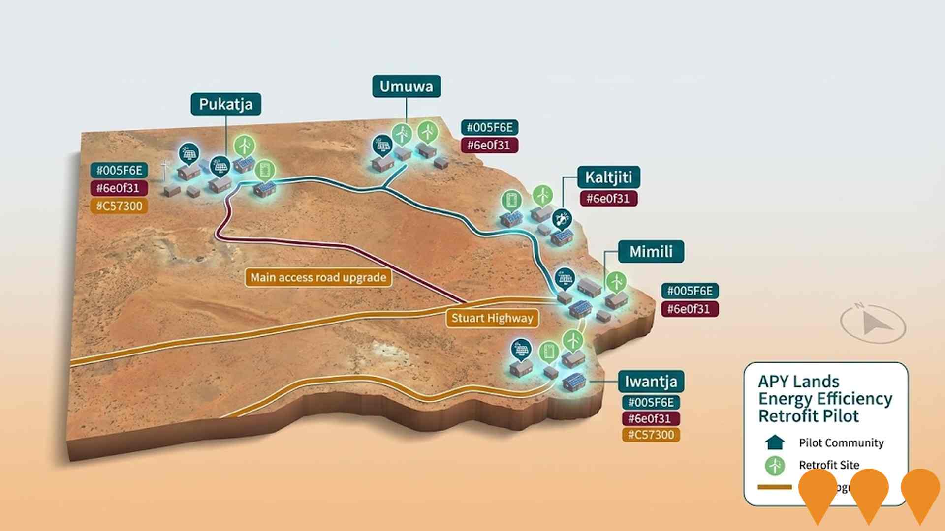
A pilot project to investigate and provide solutions for energy performance and thermal comfort challenges in remote housing in the APY Lands. The project will test the effectiveness and financial viability of various solutions, with the goal of replicating tested methods throughout the APY Lands. It aims to provide a model for energy efficiency upgrades that can be implemented by a local workforce.
Indulkana (Iwantja) Water Security Project
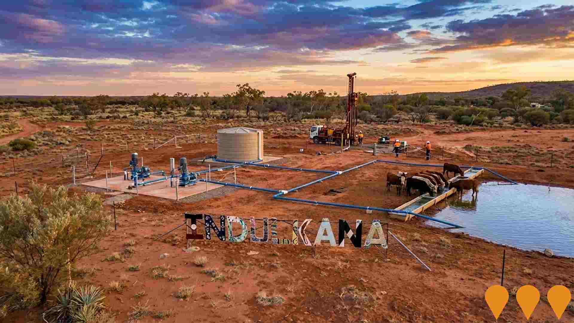
The project aims to improve water availability and resilience for the Iwantja community. It involves drilling and installing 3 extra bores, designing and constructing supporting infrastructure, and connecting to existing water infrastructure. This will help to address challenges such as high salts, low groundwater availability, and increasing housing demand.





563 residents of Coober Pedy are employed, from a labour force of 728. Unemployment sits at 22.7%, with participation at 53.9%. Weighted for its industry mix, the area's sectors are forecast to grow about 6.3% nationally over five years. That reflects industry composition only and makes no allowance for local population growth. Unemployment and labour force come from ABS Small Area Labour Markets, updated quarterly; the industry and occupation profile is from the 2021 Census.
Detail
The local labor market in Coober Pedy retains capability across critical community services, alongside an unemployment rate of 22.7%. In March 2026, employed residents numbered 563, whereas the jobless rate stood 17.2% higher than the 5.5% observed in Regional SA, highlighting substantial labor underutilization, while labor force participation tracked lower at 53.9% against 58.3% regionally. At the Census, only 5.7% of workers indicated working remotely, although prevailing Covid-19 restrictions during that period may have influenced this outcome. The primary industry sectors supporting local employment include accommodation & food, health care & social assistance, alongside retail trade.
Workforce concentration is particularly pronounced in accommodation & food, where the local employment proportion is 2.8 times the broader regional benchmark. In contrast, agriculture, forestry & fishing accounts for none of the local workforce versus 14.5% across the region. Comparisons between Census place of work and place of residence counts suggest constrained local job generation within the area. Analysis by AreaSearch utilizing SALM and ABS statistics shows that throughout the 12 months leading to March 2026, the available workforce shrank by 1.8% while total employment fell by 13.8%, lifting the unemployment rate by 10.8 percentage points. This trend diverged from Regional SA, where employment rose by 1.2%, labor force size expanded by 2.6%, and unemployment increased by 1.4 percentage points. National employment modeling from Jobs and Skills Australia as of Mar-26 provides broader context for future staffing demand in Coober Pedy. When applying five-year and ten-year nationwide forecasts (projected at 6.6% over five years and 13.7% over ten years) across local sector concentrations, estimated employment growth for Coober Pedy reaches 6.3% over five years and 13.4% over ten years (representing an unadjusted weighted extrapolation for context that excludes local demographic projections).
Frequently Asked Questions - Employment
Median household income in Coober Pedy is $764 a week (about $40,000 a year), with median personal income at $498 a week. ATO records put median taxable income at $49,884 a year against an average of $56,289. Household income is from the 2021 Census; taxable income is from ATO Taxation Statistics for the latest financial year available, indexed forward using the ABS Wage Price Index.
Detail
According to AreaSearch's evaluation of ATO tax statistics for financial year 2023, tax filers in the Coober Pedy SA2 recorded a median income of $49,884 and an average of $56,289. These earnings track below country-wide figures and sit against a median of $48,920 and average of $58,933 across Regional SA. Factoring in a Wage Price Index uplift of 10.17% since financial year 2023 yields updated estimates of roughly $54,957 (median) and $62,014 (average) as of March 2026. Across household, family, and individual brackets in Census collections, earnings in Coober Pedy position within the 0th to 3rd percentiles nationally.
Income distribution shows a heavy concentration in the $400 - 799 weekly range, encompassing 34.9% of residents (532 people), contrasting with metropolitan benchmarks where 27.5% fall into the $1,500 - 2,999 category. Lower-income brackets are widespread, with 52.7% receiving under $800 each week, creating financial hurdles despite households retaining 89.1% of income after modest shelter costs, leaving disposable income at the 3rd percentile across Australia.
Frequently Asked Questions - Income
Coober Pedy had 674 occupied dwellings at the 2021 Census, 89% detached houses and 6% apartments. 16% are owned with a mortgage, 37% rented and 47% owned outright. At that Census the median rent was $163 a week and the median mortgage repayment $630 a month. Rent absorbs 21.3% of household income here and mortgage repayments 19.0%. Dwelling stock, tenure and housing costs are 2021 Census measures — the only source that counts dwellings at this boundary size.
Detail
Census records indicate that separate houses made up 88.6% of the local dwelling stock in Coober Pedy, while semi-detached properties, units, and other structural categories accounted for 11.3%, broadly mirroring the 88.5% houses and 11.5% other dwellings observed throughout Regional SA. Outright home ownership stood significantly higher than the broader region at 47.3%, with 15.6% paying off a mortgage and 37.1% renting. Typical monthly mortgage costs were comparatively low at $630, while median weekly rent was $163, both below the Regional SA standards of $1,153 and $220 respectively. On a national scale, housing expenditures in Coober Pedy remain substantially lower than the Australian median mortgage of $1,863 and median rent of $375.
Frequently Asked Questions - Housing
Coober Pedy counted 674 households at the 2021 Census, averaging 1.8 people each. 13% are couples with children, fewer than in 96% of areas nationally, against 20% couples without children. 53% of households are people living alone, and families average 1.5 children. Household and family composition is measured only by the Census, so these are 2021 figures.
Detail
Family units constitute 42.3% of households across the locality, consisting of 12.7% couples with dependent children, 20.4% couples without children, and 7.7% single parent arrangements. Non-family living arrangements account for the remaining 57.7%, primarily driven by single-person residences at 53.3% and shared group dwellings at 3.7%. The typical household size of 1.8 people sits below the Regional SA median of 2.3.
Frequently Asked Questions - Households
19.2% of adults in Coober Pedy hold a university qualification, including 13.0% with a bachelor degree and 4.2% with postgraduate qualifications, lower than 77% of areas nationally. A further 30.3% hold a vocational qualification. 1 school serves the area, with 156 enrolment places and an average ICSEA of 800 against a national benchmark of 1,000. Qualifications come from the 2021 Census; school enrolments, ICSEA and results come from ACARA's current release.
Detail
Attainment of higher education presents a key challenge locally, with university qualification levels at 19.2%, falling well short of the 30.4% nationwide figure. Among degree holders, Bachelor degrees represent 13.0%, while postgraduate qualifications comprise 4.2% and graduate diplomas make up 2.0%. Vocational pathways show strong uptake, as 41.0% of residents aged 15+ hold technical qualifications, including advanced diplomas at 10.7% and certificates at 30.3%. A significant share of the community is engaged in study, with 32.6% of local residents actively participating in educational institutions. This comprises 10.5% attending primary schools, 9.6% in secondary schooling, and 3.3% undertaking tertiary studies.
Frequently Asked Questions - Education
Schools Detail
Getting around Coober Pedy means driving: households keep an average of 1.1 vehicles, and no scheduled public transport appears in the current timetable feeds. Service data is built from operators' published GTFS timetables; vehicle ownership is from the 2021 Census.
Frequently Asked Questions - Transport
Transport Stops Detail
64.5% of residents in Coober Pedy report no long-term health condition. 5.7% need daily assistance with core activities, and 47.5% hold private health cover. The standardised death rate runs at 6.6 per 1,000 residents. Health conditions, assistance needs and insurance are 2021 Census measures; the death rate comes from current ABS releases.
Detail
Mortality figures and chronic illness metrics assessed by AreaSearch point to notable health hurdles in Coober Pedy across diverse age segments, compounded by limited private health insurance coverage of approximately 48% among the community (~724 people), trailing the nationwide proportion of 55.7%. Arthritis and diabetes represent the leading diagnosed conditions locally, reported by 9.5 and 6.9% of the population respectively, while 64.5% of residents reported no long-term medical conditions, slightly higher than the 62.5% recorded across Regional SA. Chronic health pressures are evident among working-age individuals. Seniors aged 65 and over comprise 30.9% of the local populace (471 people), above the 27.1% regional mark, with older residents showing relatively favorable health outcomes compared to national standards.
Frequently Asked Questions - Health
33.3% of Coober Pedy residents were born overseas and 27.6% speak a language other than English at home. The largest reported ancestries are Australian (20.3%) and English (19.4%). 12.0% of residents identify as Aboriginal and/or Torres Strait Islander. Ancestry, language and country of birth are counted only by the Census, so these are 2021 figures.
Detail
Cultural diversity in Coober Pedy is notably pronounced, with 33.3% of the community born overseas and 27.6% using a language other than English in the home. Christianity represents the most widely held religious affiliation at 51.2% of residents. In addition, Buddhism is distinctly well represented at 6.4% of the population, considerably above the 0.6% proportion typical of Regional SA. Looking at parental heritage, the most common reported ancestries are Australian at 20.3% (below the 31.3% regional benchmark), English at 19.4% (under the 32.5% regional share), and Australian Aboriginal at 12.0% (substantially exceeding the 3.3% observed across the region).
Distinct concentrations also appear among other ancestries, including Croatian at 3.2% compared to 0.3% regionally, Serbian at 2.0% versus 0.1%, and Hungarian at 0.9% against 0.1%.
Frequently Asked Questions - Diversity
The median resident of Coober Pedy is 50, older than 91% of areas nationally. 22.1% of residents are aged 15 to 34. Age cohorts are not raw Census counts: the Census split is re-based to the latest ABS population estimates and state projections.
Detail
The demographic profile of Coober Pedy presents distinct structural differences compared to Regional SA. Based on August 2026 updates, individuals aged 65+ account for 30.9% of the population, compared to 27.1% regionally, while youth and younger cohorts aged 0 - 24 represent 20.0% against 26.4% across Regional SA. The median age is calculated at 50 as at August 2026, holding steady from the 2021 Census, which sits 3 years older than the Regional SA benchmark of 47 and well above the Australian Census median of 38. Residents in the 45 - 64 age bracket have decreased from 27.2% at the Census to 24.3%.
Looking forward to 2041, senior cohorts are forecast to experience the largest numerical increase, adding 58 (12%) to reach 529, whereas middle-aged brackets and youth populations are expected to contract.
Frequently Asked Questions - Age
Data & MethodBoundaries, Sources & Method for Coober Pedy
9 of 14 data sections on this page were updated within the last 12 months — the newest current to Oct 2026.
Everything is aggregated to the SA2 boundary shown above, on a 2021 Census baseline. Only 3 sections — housing, households and cultural diversity — still wait on the 2026 Census.
The ledger — source, cycle and currency by section
| Section | Source & update cycle | Currency |
|---|---|---|
| Updated within the last 12 months 9 sections | ||
| Population | ABS, GNAF, Geoscience Australia Annual (ABS ERP) | Aug 2026 2 months ago headline measures · 2021 Census baseline |
| Re-based to the ABS Estimated Resident Population (June 2025 release) and updated with new dwellings from GNAF address data. Current to Aug 2026, with the 2021 Census supplying the small-area baseline. | ||
| Age profile | ABS, Geoscience Australia, State governments Annual | Aug 2026 2 months ago headline measures · 2021 Census baseline |
| Age cohorts are re-based to the latest ABS population estimates and state projections, current to Aug 2026. Each cohort is held as a Census baseline and a current estimate. | ||
| Development & approvals | ABS, GNAF Monthly (ABS approvals) | Aug 2026 2 months ago headline measures · Jul 2026 baseline |
| Property sales & rents | Valuer General, Rental Board, ABS Weekly sales, quarterly rents | Oct 2026 this month headline measures · Sep 2026 baseline |
| Sales from the state Valuer General register, refreshed weekly, and rents from quarterly rental bond lodgements. Both are read live each time this page loads, current to Oct 2026. | ||
| Infrastructure projects | Infrastructure Australia, Local governments Daily | May 2026 5 months ago all 2 projects tracked here |
| Project pipeline maintained continuously from Infrastructure Australia, state agencies, local government and public announcements. Records are added and revised daily; this area was last updated May 2026. | ||
| Employment | ABS, DEWR, JSA Quarterly (ABS SALM) | Mar 2026 7 months ago headline measures · 2021 Census baseline |
| Unemployment and labour force from ABS Small Area Labour Markets, current to Mar 2026. The growth outlook applies Department of Employment (now Jobs and Skills Australia) forecasts for all 19 industry divisions to the local industry mix, so it measures sector composition rather than local expansion and makes no allowance for population growth. Job demand comes from the same agency via its Internet Vacancy Index; industry and occupation structure from the 2021 Census. | ||
| Education | ABS, ACARA Annual (ACARA) | Sep 2026 last month headline measures · 2021 Census baseline |
| Transport | ABS, State Transport Departments Each timetable release | Jul 2026 3 months ago headline measures · 2021 Census baseline |
| Services & amenities | Provider directories, ACECQA Continuous | Sep 2026 last month all 14 measures |
| Annual and financial-year sources 2 sections | ||
| Income | ABS, ATO Annual (ATO) | FY 2023 3 years ago headline measures · 2021 Census baseline |
| ATO taxable income statistics for FY 2023, indexed forward using the Wage Price Index. Census household income provides the distribution detail. | ||
| Health | ABS, ATO Annual | 2024 2 years ago headline measures · 2021 Census baseline |
| Census-measured — next update: 2026 Census 3 sections No more current small-area source exists for these, so they are labelled as Census-measured rather than implied to be current. | ||
| Housing | ABS 5-yearly (Census) | 2021 Census next update 2026 all 30 measures |
| Households | ABS 5-yearly (Census) | 2021 Census next update 2026 all 18 measures |
| Cultural diversity | ABS, Geoscience Australia 5-yearly (Census) | 2021 Census next update 2026 all 44 measures |
"Currency" is the most recent release feeding that section. Where the Census supplies the structural baseline underneath a current headline figure, the row says so.
How the numbers are built
Population
The Census provides the small-area baseline, aggregated from mesh blocks to this boundary. It is then re-based to the ABS Estimated Resident Population (June 2025 release), and new dwellings built since Census night are counted from address data — 1 validated new addresses here. The headline figure is therefore a current estimate for Aug 2026, not a 2021 count (1,566 at the 2021 Census → 1,526 now). Annual growth rates are compound (CAGR), not simple averages.
Age profile
Cohort shares are not raw Census counts. Every cohort is held as a pair — the Census baseline and a current estimate — and the split is re-based using ERP and state population projections, current to Aug 2026. Median age is the Census median plus modelled change since. Charts that show both are labelled "2021 Census vs Current Estimate".
Property sales
Sourced from the state valuation authority's sales register — current, not Census, and refreshed weekly. Medians are calculated from settled transactions in the period shown; periods with very low transaction counts are flagged or suppressed, because a handful of sales can move a median substantially.
Rents
Derived from state rental bond lodgement data, by dwelling type and bedroom count. Bonds are lodged at the start of a new tenancy, so this reflects new lettings, not the whole rented stock.
Development & infrastructure
Building approvals come from current ABS releases; development applications are collected from council and state planning portals; the infrastructure pipeline is compiled from Infrastructure Australia and local government sources. Applications are matched to this boundary by address or coordinates, so very recent lodgements may not yet appear.
Employment & income
Industry and occupation structure comes from the Census, but the headline labour-market indicators do not. Unemployment and labour force are derived from ABS Small Area Labour Markets (quarterly). The employment outlook applies Department of Employment forecasts for all 19 industry divisions to this area's own industry mix (the agency is now Jobs and Skills Australia), as does the Internet Vacancy Index used for job demand. Because it is weighted on industry composition alone, that outlook carries no allowance for local population growth — in fast-growing areas the real rise in local jobs will typically be higher. Income combines Census household income with ATO taxable-income statistics for FY 2023, indexed forward using the Wage Price Index.
Education, transport & amenities
School enrolments, ICSEA and performance come from ACARA's current release, not the Census. Public transport stops and service frequency are derived from GTFS timetable feeds published by state transport departments. Services and amenities are proximity and count scores built from provider directories, refreshed on their own cycle. The Census contributes only the travel-to-work and qualification measures.
Rankings and benchmarks. Where we rank this area, the comparison set is every area of the same boundary type — suburbs against suburbs, SA2s against SA2s. Benchmarks compare this area against its greater capital city region and the national figure for the same measure and period.
Limits worth knowing. Small areas carry larger error margins, and the ABS introduces small random adjustments to Census counts to protect confidentiality — so totals may not sum exactly. Estimates re-based from regional data describe the area's expected trajectory, not a direct count of it. Figures are indicative for research and are not financial, planning or valuation advice.
Cross-check us. The Census baseline for this boundary is at ABS 2021 Census QuickStats (406021139). QuickStats reports 2021 only — the figures on this page are more current wherever the ledger shows a later date.