Chart Color Schemes
This analysis uses ABS Statistical Areas Level 2 (SA2) boundaries, which can materially differ from Suburbs and Localities (SAL) even when sharing similar names.
SA2 boundaries are defined by the Australian Bureau of Statistics and are designed to represent communities for statistical reporting (e.g., census and ERP).
Suburbs and Localities (SAL) represent commonly-used suburb/locality names (postal-style areas) and may use different geographic boundaries. For comprehensive analysis, consider reviewing both boundary types if available.
est. as @ -- *
ABS ERP | -- people | --
2021 Census | -- people
Sales Activity
Curious about local property values? Filter the chart to assess the volume and appreciation (including resales) trends and regional comparisons, or scroll to the map below view this information at an individual property level.
Find a Recent Sale
Sales Detail
Population
Population growth drivers in White Rock are slightly above average based on AreaSearch's ranking of recent, and medium term trends
White Rock's population is around 5,226 as of November 2025. This reflects an increase of 308 people since the 2021 Census, which reported a population of 4,918 people. The change is inferred from the estimated resident population of 5,180 from the ABS as of June 2024 and an additional 41 validated new addresses since the Census date. White Rock's population density is 548 persons per square kilometer. Its 6.3% growth since census positions it within 1.5 percentage points of the SA4 region (7.8%). Population growth was primarily driven by overseas migration, contributing approximately 52.1% of overall population gains.
AreaSearch adopts ABS/Geoscience Australia projections for each SA2 area, released in 2024 with 2022 as the base year. For areas not covered and years post-2032, Queensland State Government's SA2 area projections are adopted, released in 2023 based on 2021 data. Considering projected demographic shifts, White Rock is forecast to increase by 1,324 persons to 2041, reflecting a 24.4% total increase over the 17 years.
Frequently Asked Questions - Population
Development
AreaSearch analysis of residential development drivers sees White Rock recording a relatively average level of approval activity when compared to local markets analysed countrywide
White Rock has averaged approximately 24 new dwelling approvals annually over the past five financial years, totalling 120 homes. As of FY-26 so far, 22 approvals have been recorded. Each year, an average of 2.3 new residents per dwelling has been observed between FY-21 and FY-25, reflecting robust demand that supports property values. New homes are being built at an average expected construction cost value of $337,000, aligning with broader regional development trends.
In this financial year, $635,000 in commercial approvals have been registered, indicating the area's residential nature. Relative to the rest of Queensland, White Rock has shown slightly more development activity, with 35.0% above the regional average per person over the five-year period, maintaining good buyer choice while supporting existing property values. However, development activity has moderated in recent periods. New development consists of 52.0% detached dwellings and 48.0% attached dwellings, marking a significant shift from existing housing patterns, which are currently 74.0% houses.
This suggests diminishing developable land availability and responds to evolving lifestyle preferences and housing affordability needs. With around 270 people per dwelling approval, White Rock shows a developing market. According to the latest AreaSearch quarterly estimate, White Rock is projected to add 1,278 residents by 2041. Should current construction levels persist, housing supply may lag population growth, potentially intensifying buyer competition and underpinning price growth.
Frequently Asked Questions - Development
Infrastructure
White Rock has very high levels of nearby infrastructure activity, ranking in the top 20% nationally
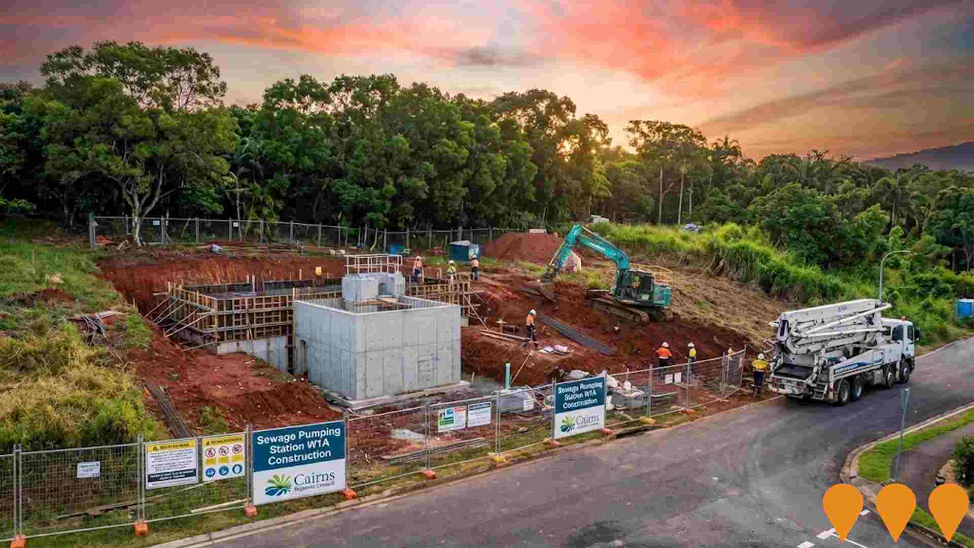
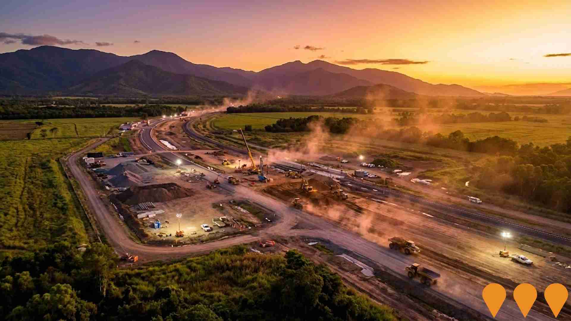
Changes to local infrastructure significantly impact an area's performance. AreaSearch identified 14 projects that could affect this region. Notable ones include the Cairns Community and Multicultural Centre, Woree Social and Affordable Housing Precinct, Cairns Bruce Highway Upgrade, and Cairns Water Security Stage 1 (CWSS1) Project. The following list details those most likely to be relevant.
Professional plan users can use the search below to filter and access additional projects.
INFRASTRUCTURE SEARCH
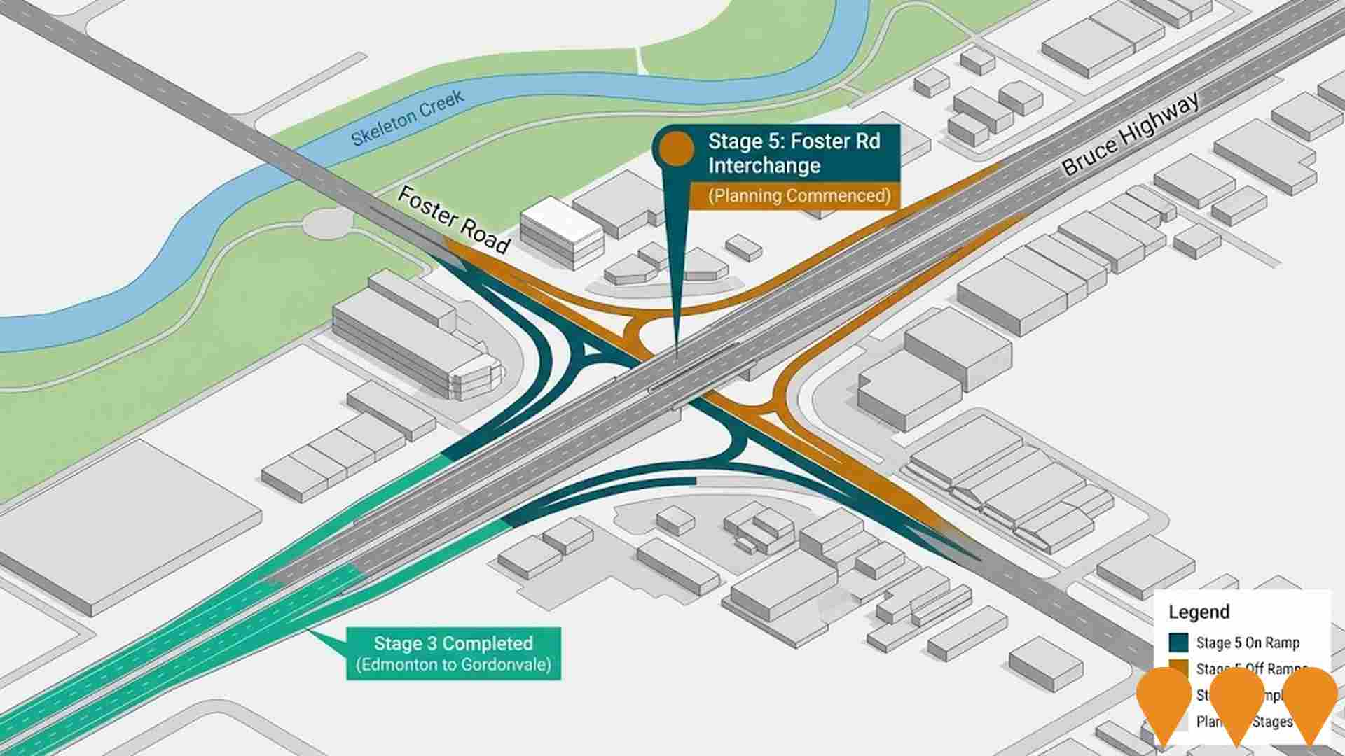
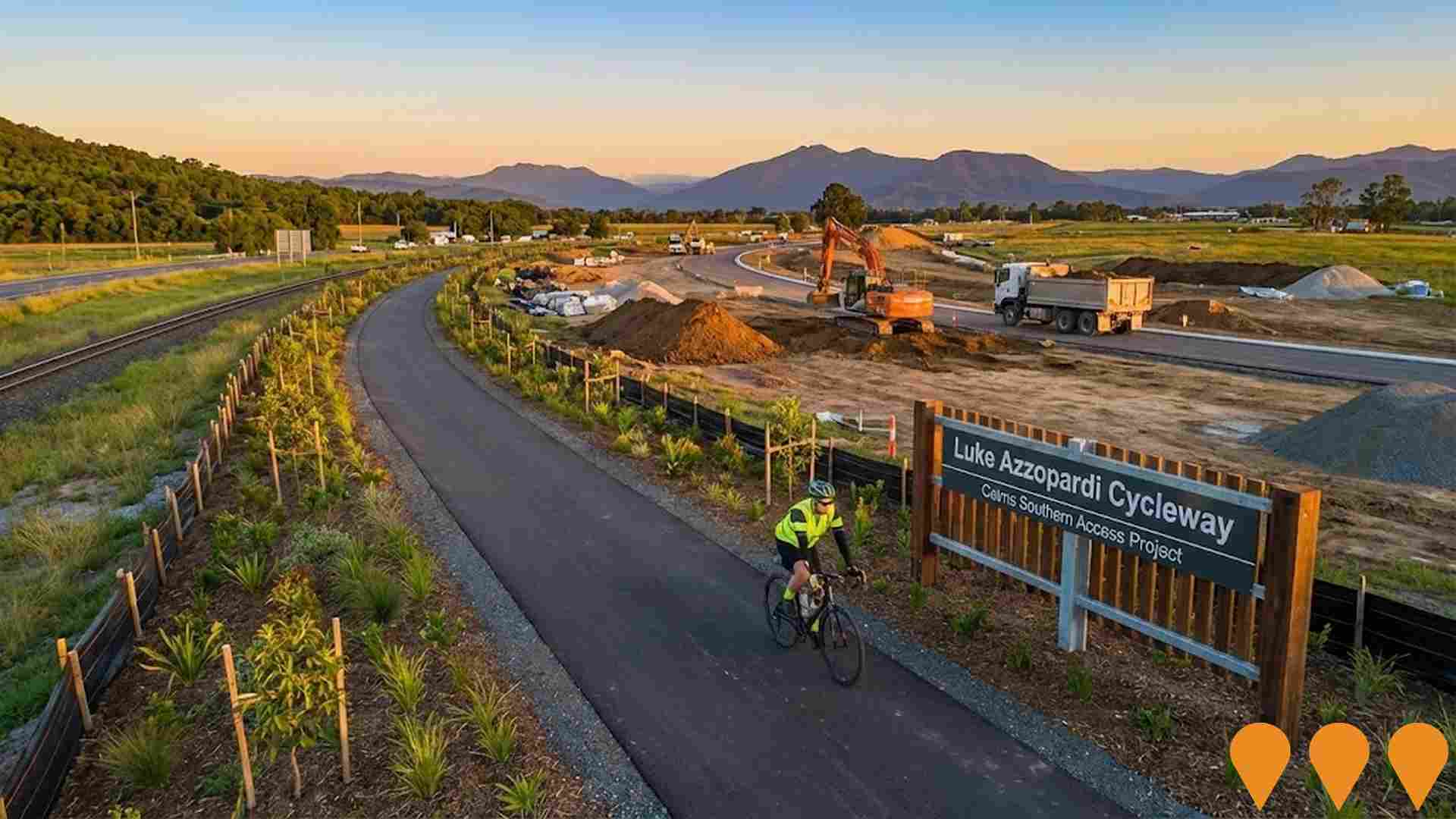
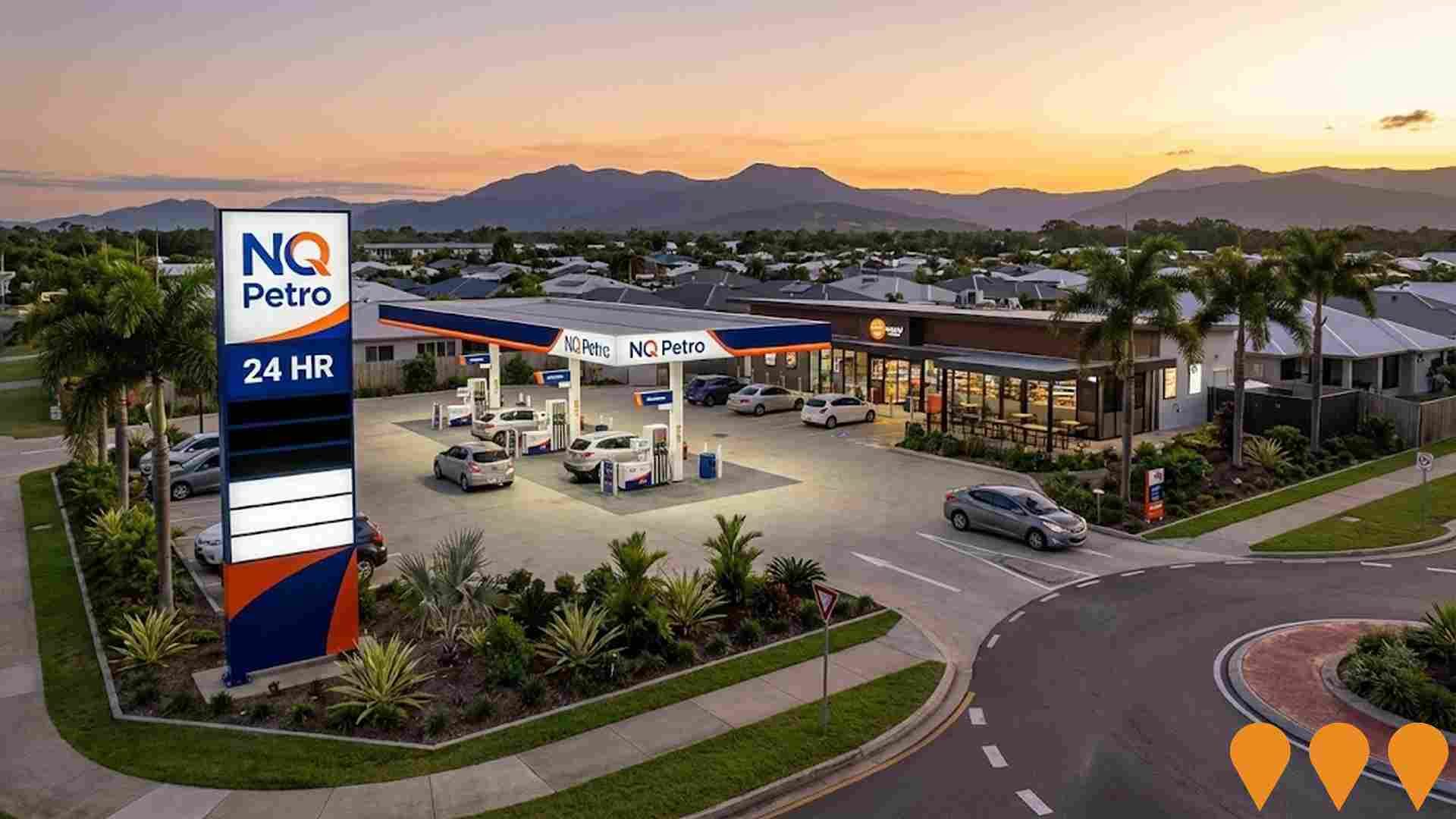
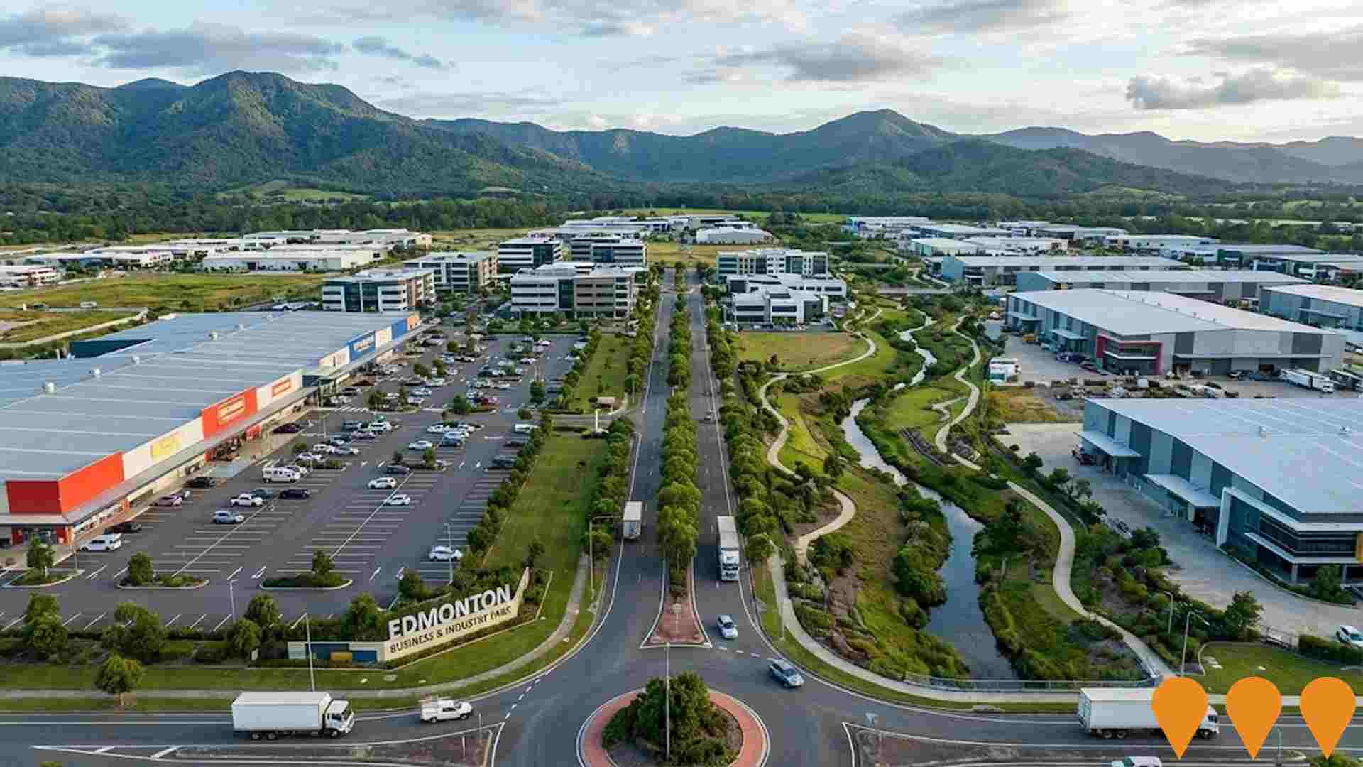
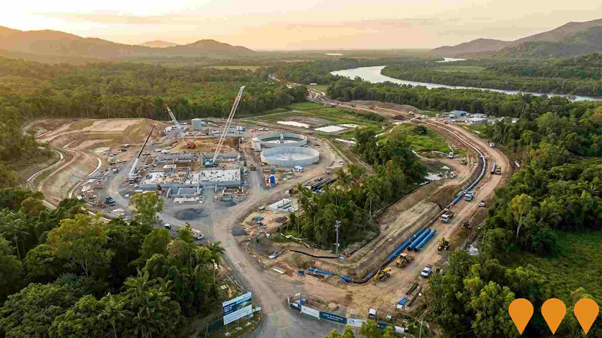
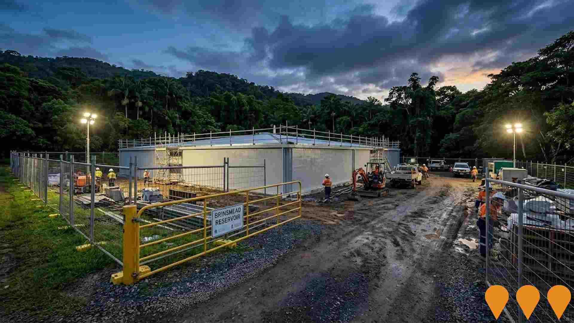
 Denotes AI-based impression for illustrative purposes only, not to be taken as definitive under any circumstances. Please follow links and conduct other investigations from the project's source for actual imagery. Developers and project owners wishing us to use original imagery please Contact Us and we will do so.
Frequently Asked Questions - Infrastructure
Woree Social and Affordable Housing Precinct
Queensland's largest social and affordable housing precinct, delivering 490 one- and two-bedroom apartments (245 social homes, 223 affordable homes, and 22 specialist disability accommodations) specifically for seniors (over 55) and people living with disability. Built using innovative modular construction on the former drive-in cinema site in Woree, Cairns. Features landscaped gardens, picnic and BBQ areas, playgrounds, community facilities, and onsite support services. Construction commenced September 2024 with modular delivery ongoing; expected completion 2026.

Far North Private Hospital
New 148-bed private hospital in Cairns South delivering acute medical, surgical, maternity, oncology, rehabilitation and mental health services to Far North Queensland. Stage 1 (88 beds) is under construction with completion expected mid-2027.

Edmonton Business & Industry Park
212-hectare masterplanned business and industry park south of Cairns, incorporating industrial, commercial, large-format retail, health/medical and lifestyle precincts. Six-stage development expected to deliver over 4,000 jobs and include major big-box retail, manufacturing, warehousing, private hospital/health facilities and more than 50 hectares of public open space with Blackfellows Creek environmental corridor restoration.
Cairns Water Security Stage 1 (CWSS1) Project
The Cairns Water Security Stage 1 (CWSS1) project is the largest infrastructure project ever undertaken by the Cairns Regional Council, designed to provide a new, reliable, and sustainable water supply for the growing Cairns region. The project involves building a new water intake at the Mulgrave River near the Desmond Trannore Bridge and a new water treatment plant and reservoirs on Council-owned land on Jones Road. It also includes the construction of a 30 km pipeline network to transport water. Once operational, the new water treatment plant will supply up to 60 megalitres of treated water per day and will make the existing treatment plant at Behana redundant. The project has passed its halfway mark and is expected to be complete in mid-2026.
Cairns Reservoirs Remediation Package 2
Remediation works across nine reservoirs at eight sites in Cairns, including Mayer Street, Panguna, Bayview Large, Barron View, Runnymede, Brinsmead, Dempsey Street A and B, and Crest Close. The project involves concrete repairs, internal coatings, roof replacements, access upgrades, and road repairs to enhance water security and extend asset longevity.
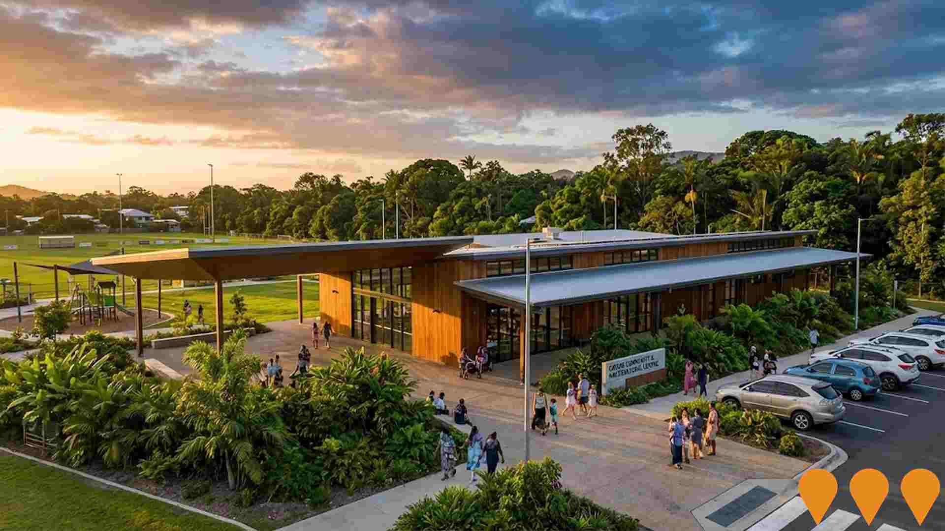
Cairns Community and Multicultural Centre
The $8 million Cairns Community and Multicultural Centre will deliver social facilities and key support and outreach services for residents of White Rock and surrounding areas, as well as Cairns diverse multicultural community. The centre will include a fully equipped commercial kitchen, multipurpose spaces for up to 200 people, small meeting rooms, dedicated space for service providers, foyer and reception area, and covered areas for play groups and cultural practices. Detailed design commenced in January 2025, with construction to be fast-tracked. The facility will be adjacent to White Rock State School and will complement new sports fields being developed at the school.
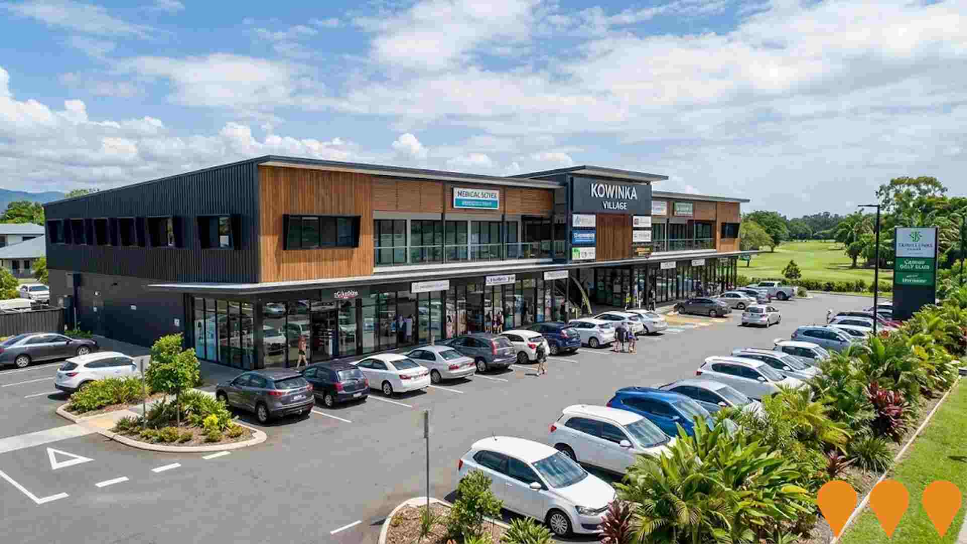
Kowinka Village - Commercial Retail & Office Complex
Brand new commercial complex at the corner of Kowinka Street and Skull Road, White Rock. Ground floor retail, office, medical and food and beverage spaces ranging from 73 to 262 square meters. The development features high visibility from the Bruce Highway, ample parking with 33 onsite spaces, and serves as a growth-focused community hub. Located adjacent to Trinity Links Resort and Cairns Golf Club, the complex is positioned in a high-growth corridor just 10 minutes from Cairns CBD, servicing over 27,000 residents across nearby suburbs.
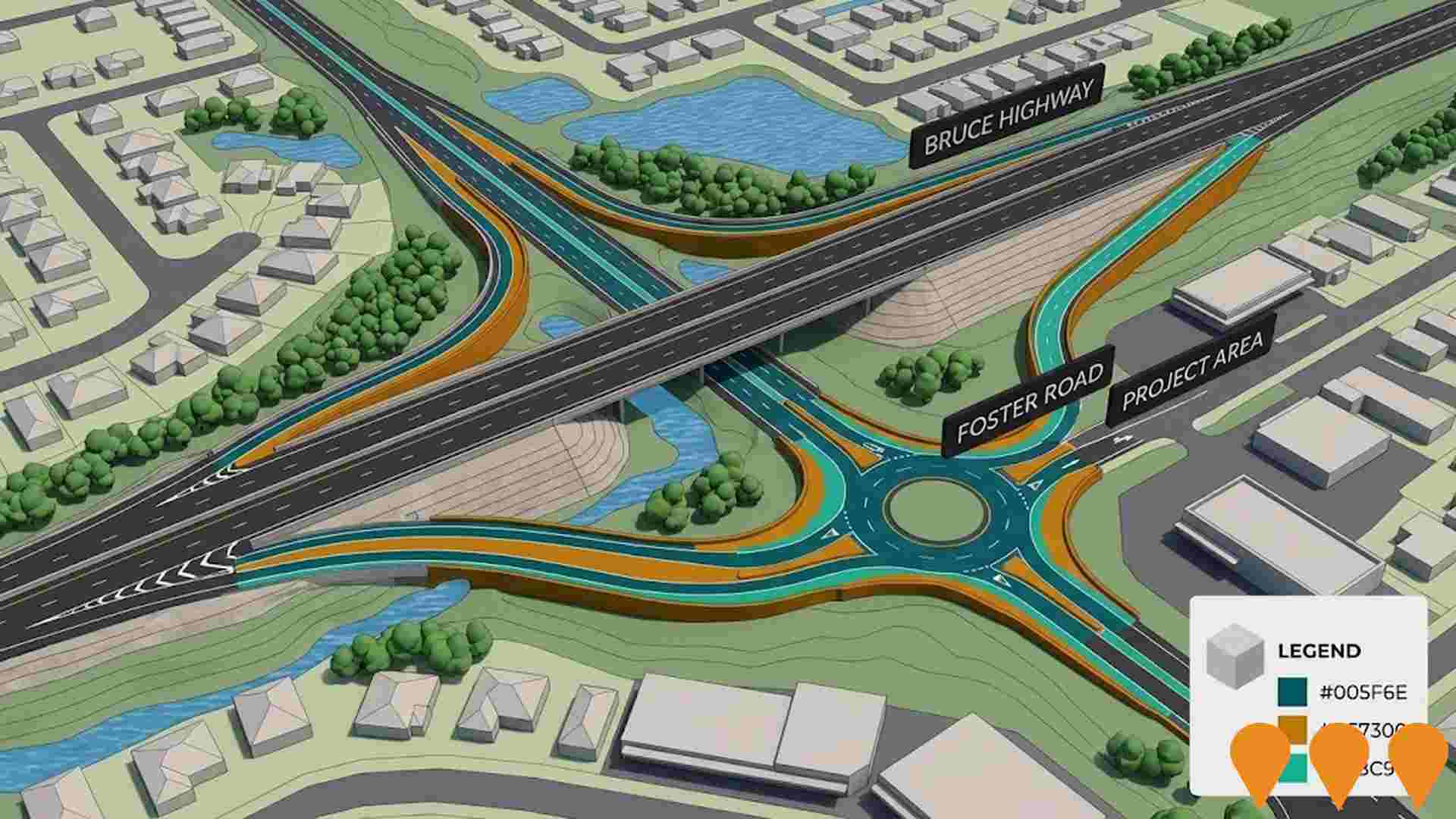
Bruce Highway Cairns Southern Access Corridor Stage 5 - Foster Road
Grade separation upgrade at Bruce Highway and Foster Road intersection. Part of broader Bruce Highway Upgrade Program with revised project cost of $550 million. Will reduce traffic congestion, improve safety and capacity, and reduce travel time as part of Cairns transport connectivity improvements.
Employment
Employment drivers in White Rock are experiencing difficulties, placing it among the bottom 20% of areas assessed across Australia
White Rock's workforce is balanced between white and blue collar jobs, with significant representation in essential services sectors. Its unemployment rate was 7.9% as of September 2025.
At this time, 2,366 residents were employed while the unemployment rate was 3.9% higher than Rest of Qld's rate of 4.1%. Workforce participation stood at 56.9%, below Rest of Qld's 59.1%. Employment is concentrated in health care & social assistance, retail trade, and accommodation & food services. Retail trade has a notably high concentration, with employment levels at 1.3 times the regional average.
Conversely, agriculture, forestry & fishing shows lower representation at 0.7% compared to the regional average of 4.5%. The area appears to have limited local employment opportunities, as seen in the difference between Census working population and resident population figures. Between September 2024 and 2025, labour force decreased by 1.7%, while employment dropped by 4.4%, leading to a rise in unemployment of 2.6 percentage points. In contrast, Rest of Qld saw employment grow by 1.7% over the same period. Statewide, Queensland's employment contracted by 0.01% (losing 1,210 jobs) as of 25-Nov, with an unemployment rate of 4.2%, closely aligned with the national rate of 4.3%. Jobs and Skills Australia's forecasts from May-25 project national employment growth of 6.6% over five years and 13.7% over ten years. Applying these projections to White Rock's employment mix suggests local employment should increase by 6.3% over five years and 13.1% over ten years, though these are simple extrapolations for illustrative purposes and do not account for localised population projections.
Frequently Asked Questions - Employment
Income
Income figures position the area below 75% of locations analysed nationally by AreaSearch
AreaSearch's aggregation of latest postcode level ATO data released for financial year 2022 shows White Rock SA2 had a median income among taxpayers of $46,521 and an average level of $53,673. This is lower than the national average, which was $50,780 in Rest of Qld. Based on Wage Price Index growth of 13.99% since financial year 2022, estimates for September 2025 would be approximately $53,029 (median) and $61,182 (average). According to the 2021 Census, household, family, and personal incomes in White Rock rank modestly, between the 27th and 28th percentiles. Income analysis reveals 36.4% of the population (1,902 individuals) fall within the $1,500 - $2,999 income range, similar to the region where 31.7% occupy this bracket. Housing affordability pressures are severe, with only 82.4% of income remaining, ranking at the 26th percentile.
Frequently Asked Questions - Income
Housing
White Rock is characterized by a predominantly suburban housing profile, with ownership patterns similar to the broader region
White Rock's latest Census data shows 74.2% houses and 25.8% other dwellings, compared to Non-Metro Qld's 68.4% houses and 31.6% other dwellings. Home ownership in White Rock was 24.4%, with mortgaged dwellings at 37.4% and rented at 38.2%. The median monthly mortgage repayment was $1,343, below Non-Metro Qld's average of $1,517. Median weekly rent in White Rock was $340, compared to Non-Metro Qld's $315. Nationally, White Rock's mortgage repayments were lower at $1,343 than the Australian average of $1,863, and rents were less at $340 than the national figure of $375.
Frequently Asked Questions - Housing
Household Composition
White Rock features high concentrations of group households, with a higher-than-average median household size
Family households constitute 69.1% of all households, including 24.6% couples with children, 25.2% couples without children, and 16.8% single parent families. Non-family households comprise the remaining 30.9%, with lone person households at 27.1% and group households making up 4.0%. The median household size is 2.6 people, larger than the Rest of Qld average of 2.4.
Frequently Asked Questions - Households
Local Schools & Education
Educational outcomes in White Rock fall within the lower quartile nationally, indicating opportunities for improvement in qualification attainment
The area's university qualification rate is 13.8%, significantly lower than the Australian average of 30.4%. This presents both a challenge and an opportunity for targeted educational initiatives. Bachelor degrees are the most common at 10.4%, followed by postgraduate qualifications (1.7%) and graduate diplomas (1.7%). Trade and technical skills are prominent, with 43.9% of residents aged 15+ holding vocational credentials – advanced diplomas (10.5%) and certificates (33.4%).
Educational participation is high, with 33.2% of residents currently enrolled in formal education. This includes 13.1% in primary education, 10.1% in secondary education, and 3.1% pursuing tertiary education.
Frequently Asked Questions - Education
Schools Detail
Nearby Services & Amenities
Transport
Transport servicing is low compared to other areas nationally based on assessment of service frequency, route connectivity and accessibility
Transport analysis shows 18 active stops operating in White Rock. These are mixed bus stops serviced by two routes offering 352 weekly passenger trips. Transport accessibility is rated good with residents located an average of 263 meters from the nearest stop.
Service frequency averages 50 trips daily across all routes, equating to approximately 19 weekly trips per individual stop.
Frequently Asked Questions - Transport
Transport Stops Detail
Health
Health performance in White Rock is lower than average with common health conditions somewhat prevalent across the board, though to a slightly higher degree among older age cohorts
White Rock faces significant health challenges with common health conditions somewhat prevalent across all age groups, but more so among older cohorts. Approximately 47% (~2,456 people) have private health cover, compared to 50.1% in the rest of Queensland and a national average of 55.3%. The most common medical conditions are arthritis and mental health issues, affecting 7.8% and 7.8% of residents respectively.
However, 68.2% report having no medical ailments, compared to 71.7% in the rest of Queensland. As of 2021, 16.5% (~863 people) are aged 65 and over. Health outcomes among seniors require more attention than those for the broader population.
Frequently Asked Questions - Health
Cultural Diversity
In terms of cultural diversity, White Rock records figures broadly comparable to the national average, as found in AreaSearch's assessment of a number of language and cultural background related metrics
White Rock's cultural diversity was found to be above average, with 19.7% of its population born overseas and 15.2% speaking a language other than English at home. The predominant religion in White Rock is Christianity, making up 51.6% of the population. Notably, the category 'Other' comprises 1.0% of White Rock's population, compared to 1.5% across the rest of Queensland.
In terms of ancestry, the top three groups are Australian at 23.0%, English at 22.3%, and Other at 15.4%. There were notable differences in the representation of certain ethnic groups: Australian Aboriginal was overrepresented at 10.2% (versus 6.7% regionally), New Zealand at 1.2% (versus 0.8%), and Samoan at 0.5% (versus 0.3%).
Frequently Asked Questions - Diversity
Age
White Rock's population is slightly younger than the national pattern
White Rock's median age is 37 years, which is significantly below the Rest of Qld average of 41 and essentially aligned with Australia's median age of 38. Compared to the Rest of Qld average, White Rock has a notably over-represented cohort of 25-34 year-olds at 14.4%, while those aged 55-64 are under-represented at 10.0%. According to the 2021 Census, the 25 to 34 age group has grown from 13.1% to 14.4% of White Rock's population. Conversely, the 65 to 74 cohort has declined from 9.9% to 9.1%. Demographic modeling suggests that White Rock's age profile will evolve significantly by 2041. The 25 to 34 cohort is projected to grow strongly at 44%, adding 331 residents to reach a total of 1,087. The 5 to 14 age group shows more modest growth at 5%, with an increase of 36 residents.

