Chart Color Schemes
This analysis uses ABS Statistical Areas Level 2 (SA2) boundaries, which can materially differ from Suburbs and Localities (SAL) even when sharing similar names.
SA2 boundaries are defined by the Australian Bureau of Statistics and are designed to represent communities for statistical reporting (e.g., census and ERP).
Suburbs and Localities (SAL) represent commonly-used suburb/locality names (postal-style areas) and may use different geographic boundaries. For comprehensive analysis, consider reviewing both boundary types if available.
est. as @ -- *
ABS ERP | -- people | --
2021 Census | -- people
Sales Activity
Curious about local property values? Filter the chart to assess the volume and appreciation (including resales) trends and regional comparisons, or scroll to the map below view this information at an individual property level.
Find a Recent Sale
Sales Detail
Population
Population growth drivers in Agnes Water - Miriam Vale are strong compared to national averages based on AreaSearch's ranking of recent, and medium to long-term trends
Agnes Water-Miriam Vale's population was 6,807 people as of the 2021 Census. By Nov 2025, it is estimated to be around 8,066, reflecting an increase of 1,259 people (18.5%) since the Census. This growth is inferred from ABS data showing an estimated resident population of 7,886 as of June 2024 and an additional 437 validated new addresses since the Census date. The population density ratio is approximately 2.1 persons per square kilometer. Agnes Water-Miriam Vale's population growth exceeded that of its SA4 region (6.6%) and SA3 area, marking it as a growth leader in the region. Interstate migration contributed approximately 85.9% of overall population gains during recent periods.
AreaSearch is adopting ABS/Geoscience Australia projections for each SA2 area, released in 2024 with 2022 as the base year. For areas not covered by this data and years post-2032, Queensland State Government's SA2 area projections are used, based on 2021 data and released in 2023. These state projections do not provide age category splits, so AreaSearch applies proportional growth weightings from ABS Greater Capital Region projections (released in 2023, based on 2022 data) for each age cohort. Based on projected demographic shifts, the area is expected to increase by 1,065 persons to 2041, reflecting an overall increase of 11.0% over the 17 years.
Frequently Asked Questions - Population
Development
The level of residential development activity in Agnes Water - Miriam Vale was found to be higher than 90% of real estate markets across the country
Agnes Water-Miram Vale recorded approximately 68 residential property approvals per year over the past five financial years, totalling 342 homes. As of FY-26, 27 approvals have been recorded. On average, 4.4 people moved to the area annually for each dwelling built between FY-21 and FY-25, indicating high demand outpacing supply. New homes are constructed at an average cost of $342,000.
In FY-26, $3.8 million in commercial approvals have been registered. Compared to the Rest of Qld, Agnes Water-Miram Vale records 202.0% more new home approvals per person. Recent development has consisted entirely of detached dwellings, preserving the area's low-density nature and attracting space-seeking buyers with around 125 people per dwelling approval. By 2041, Agnes Water-Miram Vale is projected to grow by 885 residents.
At current development rates, new housing supply should comfortably meet demand, providing favourable conditions for buyers and potentially supporting population growth beyond current projections.
Frequently Asked Questions - Development
Infrastructure
Agnes Water - Miriam Vale has moderate levels of nearby infrastructure activity, ranking in the top 50% nationally
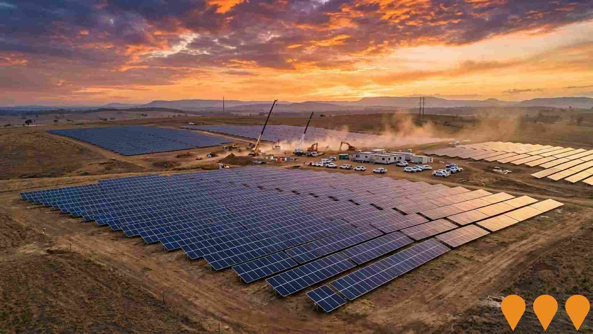
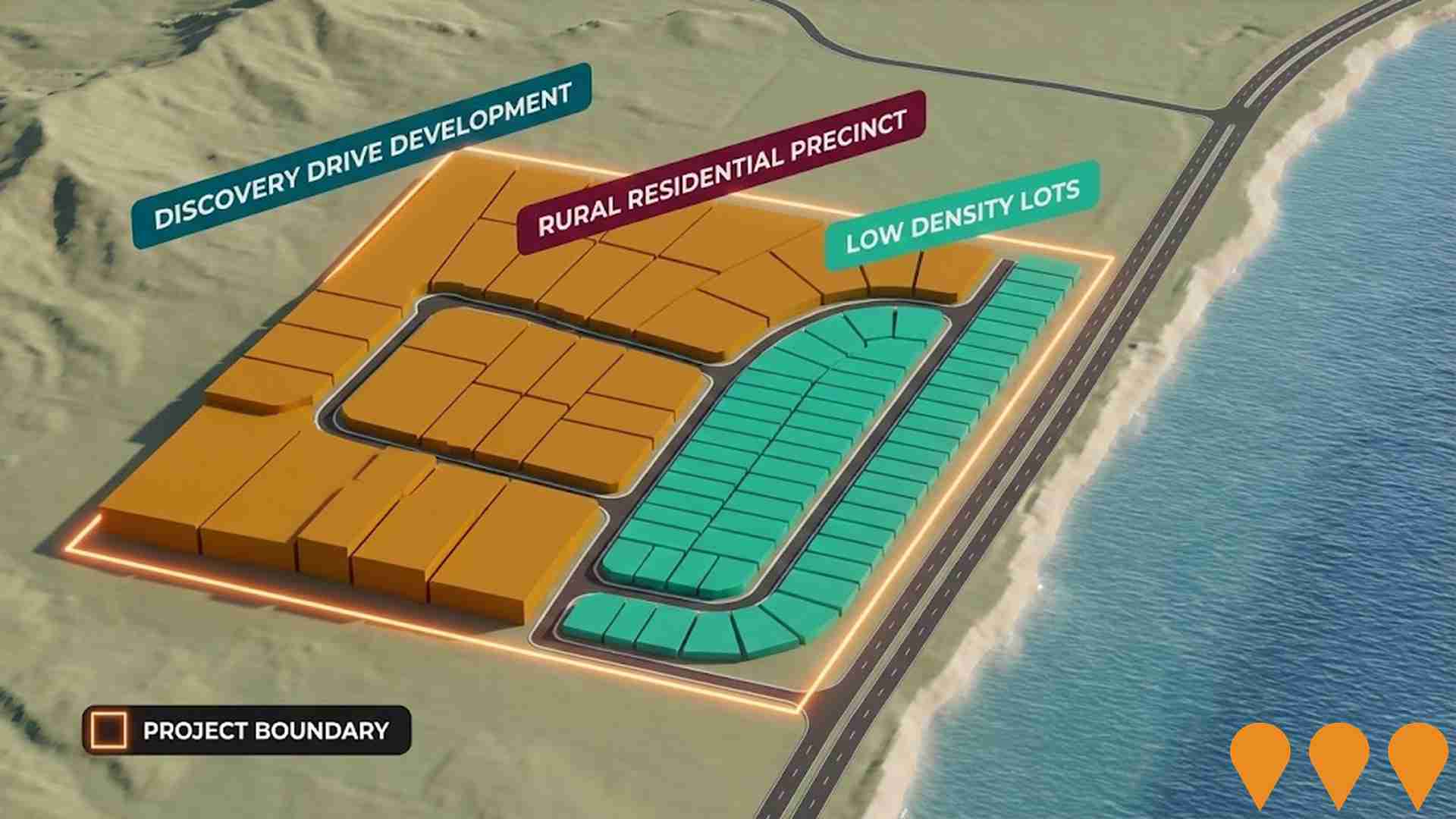
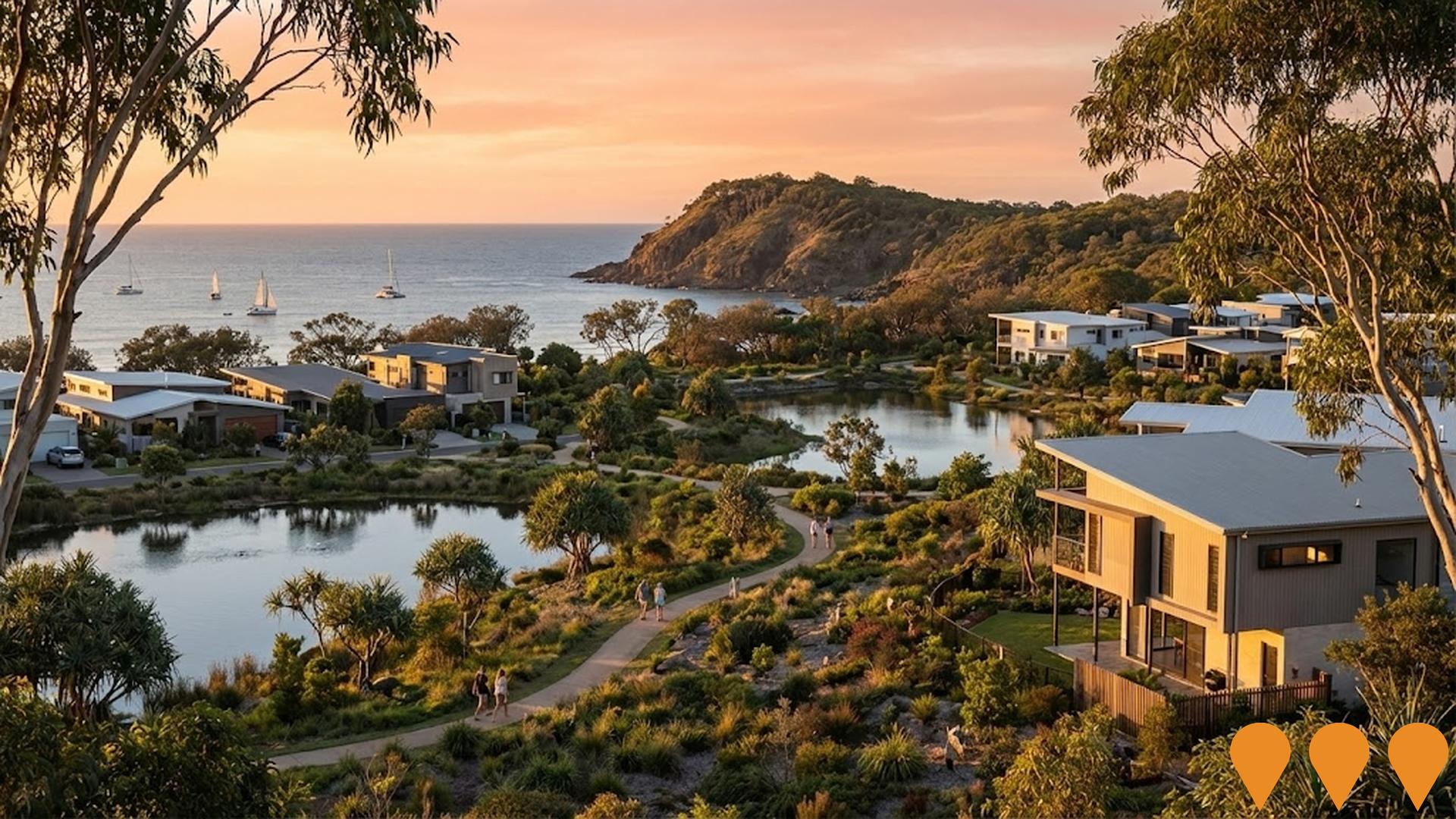
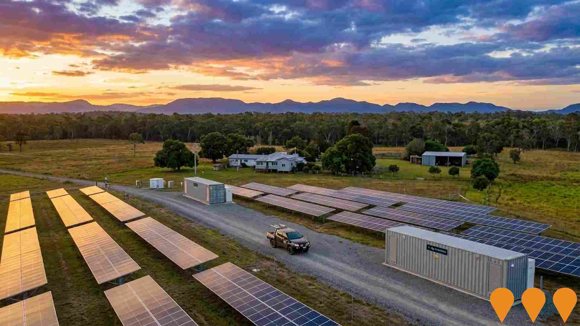
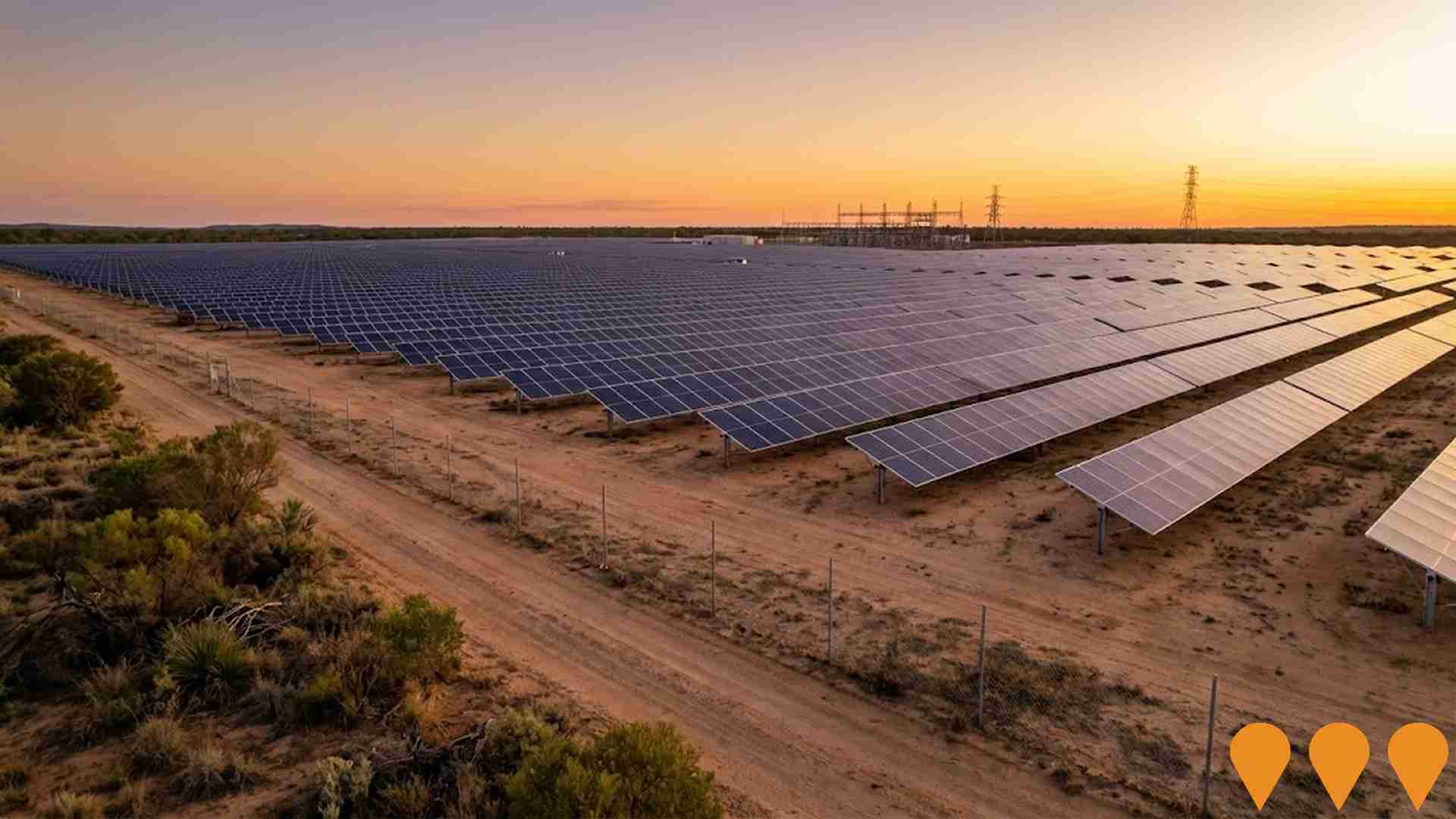
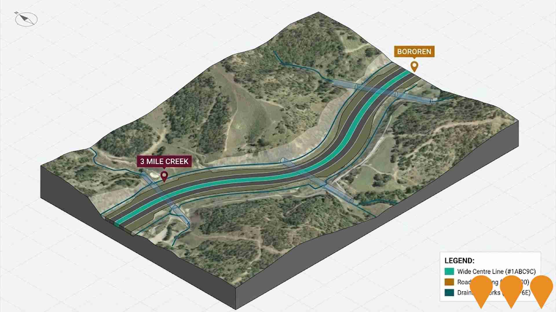
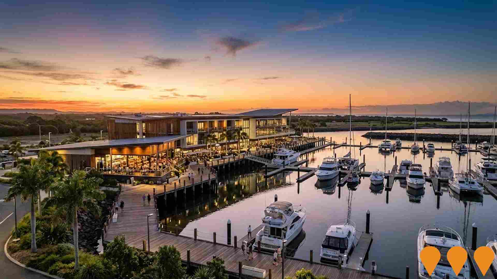
Changes in local infrastructure significantly impact an area's performance. AreaSearch has identified a total of 22 projects likely to affect the region. Notable ones include Discovery Drive Residential Development (Lot 2 Captain Cook Drive), Laguna Agnes Water, Rutherglen Solar & Storage, and Eurimbula Solar Farm (formerly Rodds Bay Solar Farm). The following list details those most relevant.
Professional plan users can use the search below to filter and access additional projects.
INFRASTRUCTURE SEARCH
 Denotes AI-based impression for illustrative purposes only, not to be taken as definitive under any circumstances. Please follow links and conduct other investigations from the project's source for actual imagery. Developers and project owners wishing us to use original imagery please Contact Us and we will do so.
Frequently Asked Questions - Infrastructure
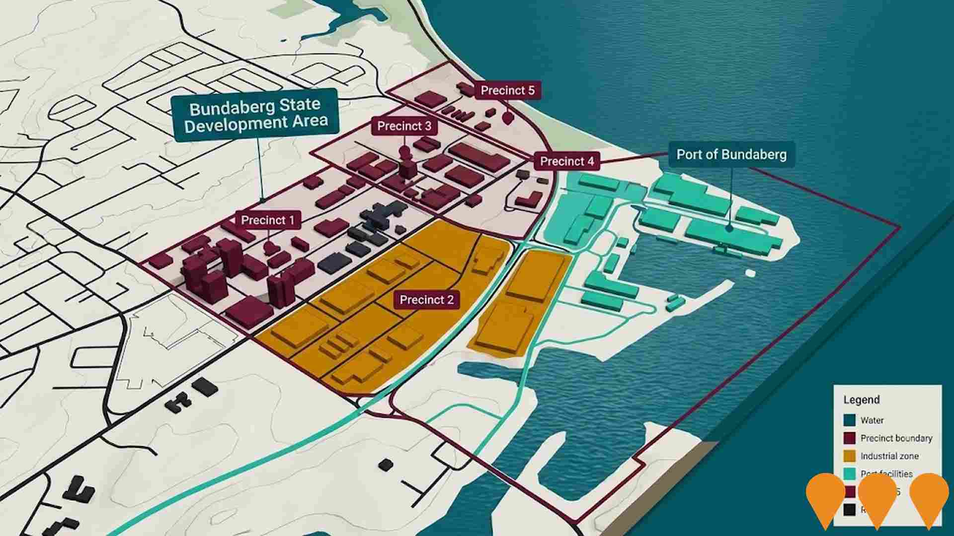
Bundaberg State Development Area
The Bundaberg State Development Area (SDA) is a 6,076-hectare area, declared in February 2017, located approximately 17 kilometres north of Bundaberg city. The SDA aims to facilitate economic development, industrial growth, and employment opportunities in the Wide Bay Burnett region by providing land for port-related and industrial activities. It is open for business and offers an ideal location for large-scale, high-impact industrial and port-related development. The SDA is divided into five precincts, and its planning and development is controlled by the Bundaberg SDA Development Scheme, which was approved in December 2017. The Coordinator-General assesses and decides on development applications within the SDA.
Port of Bundaberg Expansion
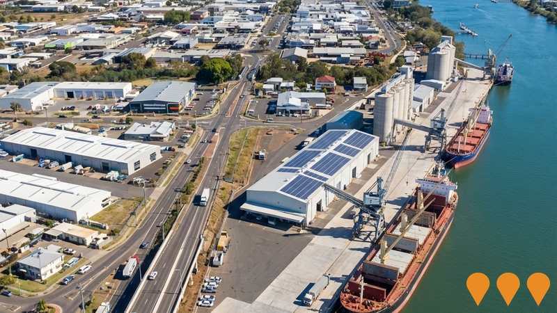
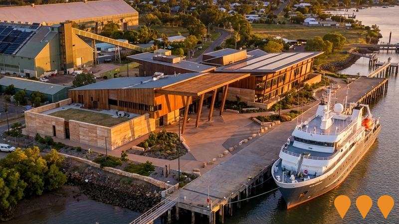
Major port expansion project including common user infrastructure development. The $21.9 million bulk goods conveyor system, a key component of the expansion and the Hinkler Regional Deal, has been completed and officially opened. The broader expansion includes wharf facilities, cargo handling equipment, Pacific Marine Base Stage 2, and heavy vehicle route upgrades. The development aims to increase the port's export capabilities for bulk commodities like minerals, timber products (wood pellets and woodchip), and agricultural goods. Separate, but related development by Pacific Marine Base Bundaberg Pty Ltd for a Break Bulk Shipping Terminal (BBST) at the Port was approved by Bundaberg Regional Council in October 2025, receiving a 100% infrastructure charges discount. This BBST project, valued at $35-40 million, is a Marine Industry Precinct expansion that will include a 200m long wharf extension, a -9.5 LAT berth pocket, a biosecurity first point of entry, and 45,800 sqm of hard stand, with a three-year timeframe for completion. The overall expansion is projected to support up to 24,000 jobs across the region.
Riverstone Rise
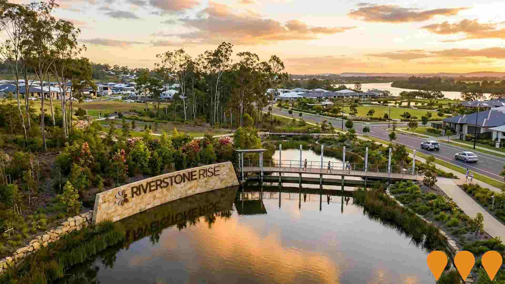
Gladstone's first truly masterplanned community spanning 496 hectares along the Boyne River. The development includes 2,900 homes for over 7,500 residents, educational facilities including a primary school, childcare centre (Milestones Early Learning - operational), retail and commercial town centre precinct, medical centre, and community facilities. Features 26% dedicated open space with over 182 hectares of reserves, parks, and walking trails integrated with 4.2 kilometres of pristine Boyne River frontage. Currently approximately 500 people living in the community with land sales ongoing.
Hummock Hill Island Development (Pacificus Tourism Resort)
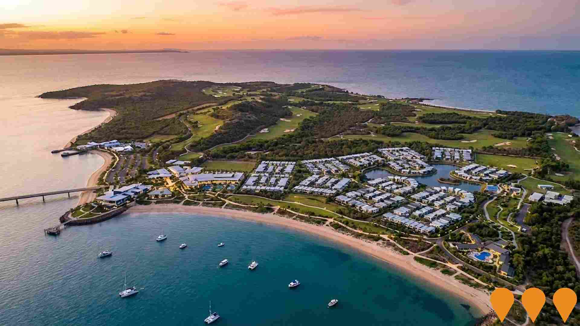
Pacificus is an integrated master-planned tourism resort on Hummock Hill Island in Rodds Bay, 30km south-east of Gladstone. The project includes luxury resort hotels, health spa, holiday units, camping grounds for approximately 2,700 tourists, and permanent housing for up to 770 residents. The development features an 18-hole golf course, Great Barrier Reef Aquarium, Marine Research Centre, Indigenous Arts and Cultural Centre, retail outlets, and a bridge to the mainland. This is the first large-scale integrated tourism resort to be delivered on the Great Barrier Reef in over 40 years. The 465-hectare masterplan dedicates over two-thirds of the island to environmental conservation, with only 10% development footprint.
Tannum Sands Priority Development Area
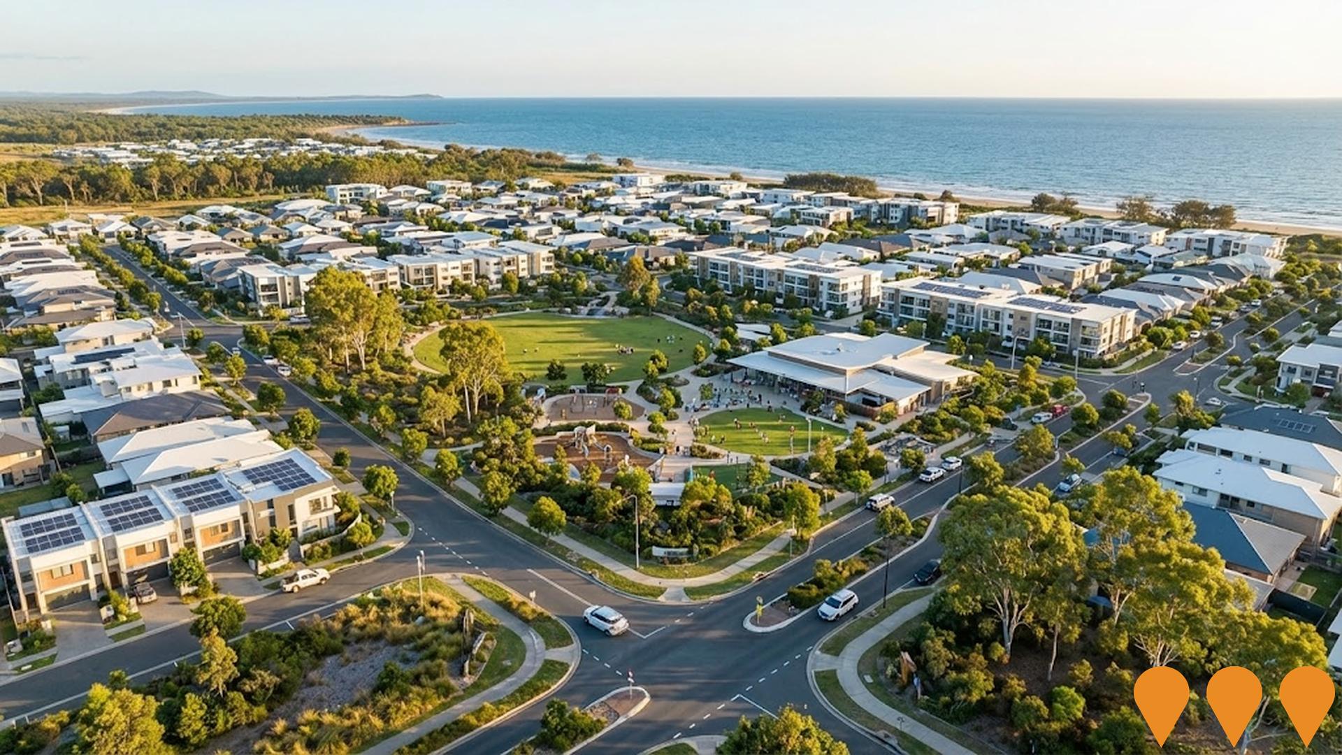
A 170-hectare masterplanned community providing over 1500 homes for more than 3000 people, featuring diverse housing designs and price points for ownership and rental. The PDA includes a community hub, parks, neighborhood centre, and emphasizes housing diversity, affordability, and sustainability. Declared in September 2011, the development scheme regulates land use and development within the PDA.
Boyne Tannum Aquatic Centre
A new year-round multi-use aquatic facility featuring a FINA-standard 8-lane 50m outdoor heated pool with bulkhead, recreational zone with twin waterslide attraction, kids splash zone, all-abilities access including pool ramp, shaded sections, kiosk and amenities, green space with spectator seating areas, and carparking. The facility is designed to meet current and future aquatic recreation needs of the Boyne Island and Tannum Sands community, supporting swimming club development and hosting regional competitions. The project relocated to Arthur Street in November 2024 following cultural heritage considerations at the previous Coronation Drive site.

Gladstone Project
Powerlink Queensland's Gladstone Project (also known as the Gladstone grid reinforcement) is a multi-stage transmission network reinforcement to maintain reliability and security of electricity supply in the Gladstone region following the anticipated retirement of Gladstone Power Station. It supports industrial decarbonisation, electrification of major industries, and integration of renewables from the Central Queensland REZ. Key stages include new 275kV double-circuit lines (Calvale-Calliope River and Bouldercombe-Larcom Creek via new Gladstone West Substation), synchronous condensers, and reactive support equipment. Final Assessment Report submitted June 2025; government review ongoing with construction of Stage 1 expected mid-2026.

Bundaberg State Development Area
The Bundaberg State Development Area (SDA) is a 6076-hectare area established in 2017 to support port-related and industrial activities around the Port of Bundaberg. Divided into five precincts, it promotes economic growth, employment, and sustainable development while protecting environmental values.
Employment
Employment conditions in Agnes Water - Miriam Vale face significant challenges, ranking among the bottom 10% of areas assessed nationally
Agnes Water - Miriam Vale has a balanced workforce with white and blue collar jobs. The construction sector is prominent.
As of September 2025, the unemployment rate is 9.1%. There are 3,329 residents employed, which is 5.0% higher than Rest of Qld's rate of 4.1%. Workforce participation is lower at 46.3%, compared to Rest of Qld's 59.1%. Key industries include construction, accommodation & food, and retail trade.
Accommodation & food has notable concentration with employment levels at 1.6 times the regional average. Health care & social assistance shows lower representation at 6.8% versus the regional average of 16.1%. The area may offer limited local employment opportunities based on Census data. Between September 2024 and September 2025, the labour force increased by 1.6%, while employment decreased by 0.7%, causing unemployment to rise by 2.1 percentage points. In comparison, Rest of Qld had employment growth of 1.7% and labour force growth of 2.1%, with unemployment rising by 0.3 percentage points. State-level data from Queensland shows employment contracted by 0.01% between November 2024 and November 2025, losing 1,210 jobs. The state unemployment rate was 4.2%, closely aligned with the national rate of 4.3%. National employment forecasts suggest a 6.6% increase over five years and 13.7% over ten years. Applying these projections to Agnes Water - Miriam Vale's employment mix, local employment is expected to grow by 5.4% over five years and 11.5% over ten years.
Frequently Asked Questions - Employment
Income
Income metrics place the area in the bottom 10% of locations nationally according to AreaSearch analysis
AreaSearch's aggregation of ATO data released for financial year 2022 shows Agnes Water - Miriam Vale SA2 had a median taxpayer income of $39,580 and an average income of $55,987. These figures are below the national averages of $50,780 (median) and $64,844 (average) for Rest of Qld. Based on Wage Price Index growth of 13.99% from financial year 2022 to September 2025, estimated median income is approximately $45,117 and average income is $63,820. According to the 2021 Census, Agnes Water - Miriam Vale incomes rank between the 3rd and 4th percentiles nationally. Income distribution shows 27.1% of residents earn between $400 and $799 annually, differing from regional levels where the $1,500 to $2,999 range is most prevalent at 31.7%. After housing costs, 85.7% of income remains, ranking at the 6th percentile nationally.
Frequently Asked Questions - Income
Housing
Agnes Water - Miriam Vale is characterized by a predominantly suburban housing profile, with above-average rates of outright home ownership
In Agnes Water - Miriam Vale, as evaluated at the latest Census, 91.7% of dwellings were houses with the remaining 8.4% being semi-detached, apartments, or other types. This compares to Non-Metro Qld's 85.7% houses and 14.3% other dwellings. Home ownership in Agnes Water - Miriam Vale stood at 51.4%, with mortgaged properties at 32.1% and rented ones at 16.5%. The median monthly mortgage repayment was $1,336, lower than Non-Metro Qld's average of $1,600. The median weekly rent figure in the area was $275, matching Non-Metro Qld's figure. Nationally, Agnes Water - Miriam Vale's mortgage repayments were significantly lower at $1,336 compared to Australia's average of $1,863, while rents were substantially below the national figure of $375.
Frequently Asked Questions - Housing
Household Composition
Agnes Water - Miriam Vale has a typical household mix, with a lower-than-average median household size
Family households constitute 68.3% of all households, including 20.4% couples with children, 38.5% couples without children, and 8.2% single parent families. Non-family households comprise the remaining 31.7%, with lone person households at 28.0% and group households making up 3.7%. The median household size is 2.2 people, smaller than the Rest of Qld average of 2.5.
Frequently Asked Questions - Households
Local Schools & Education
Agnes Water - Miriam Vale faces educational challenges, with performance metrics placing it in the bottom quartile of areas assessed nationally
The area's university qualification rate is 13.4%, significantly lower than Australia's average of 30.4%. Bachelor degrees are the most common at 9.5%, followed by postgraduate qualifications (2.2%) and graduate diplomas (1.7%). Vocational credentials are prevalent, with 45.7% of residents aged 15+ holding such qualifications - advanced diplomas at 9.6% and certificates at 36.1%. Educational participation is high, with 27.2% of residents currently enrolled in formal education.
This includes 10.6% in primary education, 9.9% in secondary education, and 2.1% pursuing tertiary education.
Frequently Asked Questions - Education
Schools Detail
Nearby Services & Amenities
Transport
No public transport data available for this catchment area.
Frequently Asked Questions - Transport
Transport Stops Detail
Health
Health performance in Agnes Water - Miriam Vale is well below average with prevalence of common health conditions notable across both younger and older age cohorts
Agnes Water - Miriam Vale faces significant health challenges, with high prevalence of common conditions across both younger and older age groups. Private health cover is low, at approximately 48% (~3,871 people), compared to 55.6% in the rest of Queensland and a national average of 55.3%. The most prevalent medical conditions are arthritis (11.5%) and mental health issues (8.7%), while 63.9% report no medical ailments, compared to 69.4% in the rest of Queensland.
The area has a higher proportion of seniors aged 65 and over (24.5%, or 1,972 people), than the rest of Queensland (15.2%). Despite this, health outcomes among seniors are strong, outperforming general population metrics.
Frequently Asked Questions - Health
Cultural Diversity
Agnes Water - Miriam Vale is considerably less culturally diverse than average when assessed alongside AreaSearch's national rankings for language and cultural background related metrics
Agnes Water-Miram Vale, surveyed between March 2016 and June 2017, had a predominantly homogeneous population: 83.8% were citizens, 85.7% were born in Australia, and 96.6% spoke English only at home. Christianity was the dominant religion, with 47.8%. Notably, Judaism was present at 0.1%, compared to 0.0% regionally.
In terms of ancestry, the top three groups were English (32.6%), Australian (31.3%), and Scottish (8.2%). Some ethnic groups showed notable differences: German was overrepresented at 6.0% (vs regional 5.1%), Russian at 0.4% (vs 0.3%), and Australian Aboriginal at 2.8% (vs regional 4.3%).
Frequently Asked Questions - Diversity
Age
Agnes Water - Miriam Vale ranks among the oldest 10% of areas nationwide
Agnes Water - Miriam Vale has a median age of 52, which is higher than Rest of Qld's figure of 41 and above the national average of 38. The 55-64 age group comprises 21.4%, compared to Rest of Qld, while the 25-34 cohort makes up 5.8%. This concentration in the 55-64 age bracket is significantly higher than the national figure of 11.2%. Post the 2021 Census, the 15 to 24 age group has increased from 6.6% to 7.9%, while the 45 to 54 cohort has decreased from 16.2% to 14.5%. By 2041, Agnes Water - Miriam Vale's age profile is projected to change significantly. The 75-84 age group is expected to grow by 226 people (41%), from 554 to 781. Notably, the combined 65+ age groups are projected to account for 58% of total population growth, reflecting the area's aging demographic trend. Conversely, population declines are forecasted for the 5-14 and 15-24 age cohorts.
