Chart Color Schemes
This analysis uses ABS Statistical Areas Level 2 (SA2) boundaries, which can materially differ from Suburbs and Localities (SAL) even when sharing similar names.
SA2 boundaries are defined by the Australian Bureau of Statistics and are designed to represent communities for statistical reporting (e.g., census and ERP).
Suburbs and Localities (SAL) represent commonly-used suburb/locality names (postal-style areas) and may use different geographic boundaries. For comprehensive analysis, consider reviewing both boundary types if available.
est. as @ -- *
ABS ERP | -- people | --
2021 Census | -- people
Sales Activity
Curious about local property values? Filter the chart to assess the volume and appreciation (including resales) trends and regional comparisons, or scroll to the map below view this information at an individual property level.
Find a Recent Sale
Sales Detail
Population
Population growth drivers in Tamworth - West are above average based on AreaSearch's ranking of recent, and medium to long-term trends
Tamworth-West's population is 7,246 as of November 2025. This figure reflects an increase of 1,248 people since the 2021 Census, which reported a population of 5,998. The change is inferred from the estimated resident population of 6,531 in June 2024 and an additional 346 validated new addresses since the Census date. This results in a density ratio of 115 persons per square kilometer. Tamworth-West's growth rate of 20.8% since the 2021 Census exceeded the SA4 region's 4.4%, making it a growth leader. Natural growth contributed approximately 63.2% of overall population gains during recent periods.
AreaSearch uses ABS/Geoscience Australia projections for each SA2 area, released in 2024 with 2022 as the base year. For areas not covered by this data, NSW State Government's SA2 level projections are used, released in 2022 with 2021 as the base year. Growth rates by age group from these aggregations are applied to all areas for years 2032 to 2041. Based on projected demographic shifts, Tamworth-West is forecasted to increase by 1,540 persons to 2041, reflecting a total increase of 10.2% over the 17-year period.
Frequently Asked Questions - Population
Development
Recent residential development output has been above average within Tamworth - West when compared nationally
Tamworth - West has received approximately 38 dwelling approvals annually over the past five financial years, totalling 193 homes. As of FY26, there have been 43 recorded approvals. On average, each dwelling accommodates about two new residents per year over these five years (FY21 to FY25), suggesting strong demand that supports property values. The average construction cost for new homes is around $230,000, which is below regional levels, indicating more affordable housing options for buyers.
In the current financial year, commercial development approvals amounting to $23.9 million have been recorded, demonstrating moderate commercial growth. Compared to the rest of NSW, Tamworth - West has seen slightly higher development activity, with 33.0% more approvals per person over the five-year period, balancing buyer choices while supporting current property values. Recent construction in the area comprises 47.0% standalone homes and 53.0% medium to high-density housing. This shift towards compact living offers affordable entry points for downsizers, investors, and first-time purchasers, marking a notable change from the existing housing stock which is currently 95.0% houses. The location has approximately 231 people per dwelling approval, indicating potential room for further growth.
According to AreaSearch's latest quarterly estimate, Tamworth - West is projected to grow by 736 residents by 2041. If current development rates continue, new housing supply should comfortably meet demand, providing favourable conditions for buyers and potentially supporting population growth beyond current projections.
Frequently Asked Questions - Development
Infrastructure
Tamworth - West has emerging levels of nearby infrastructure activity, ranking in the 28thth percentile nationally
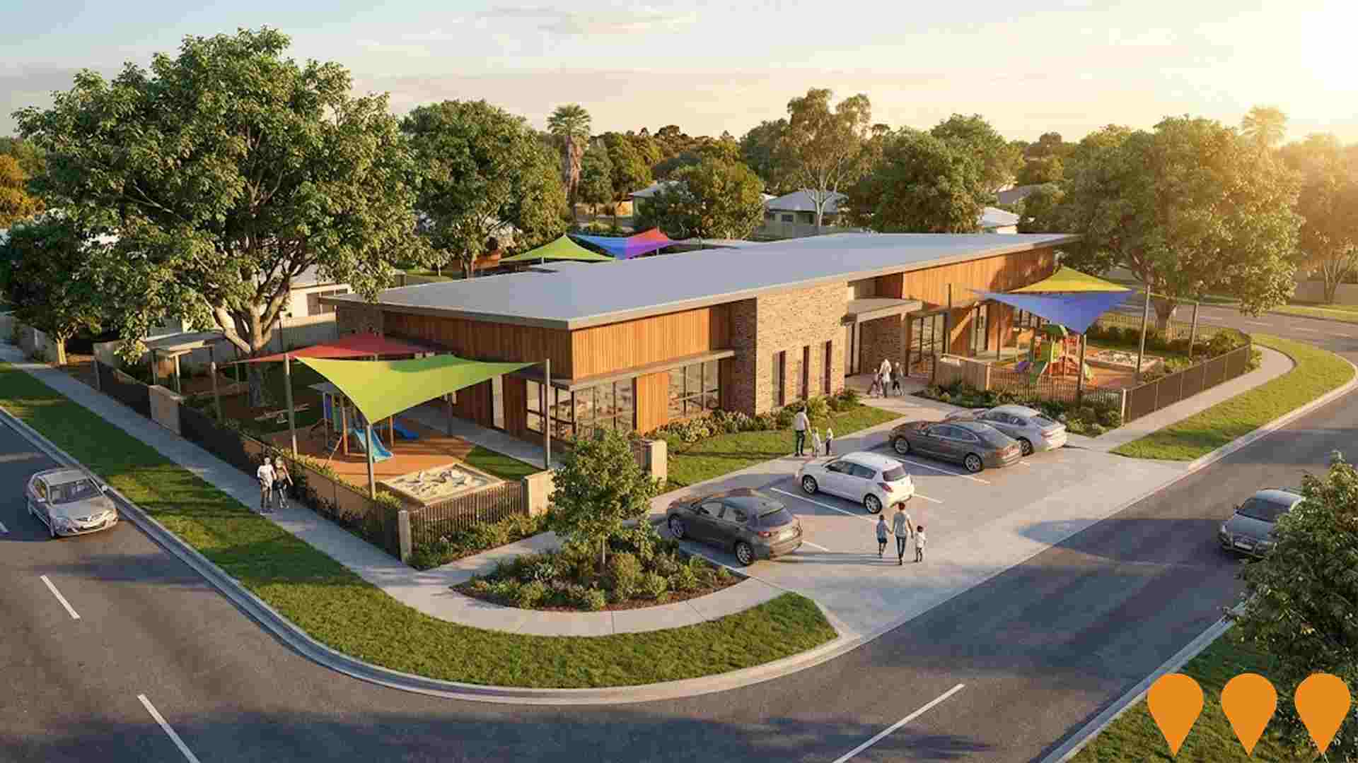
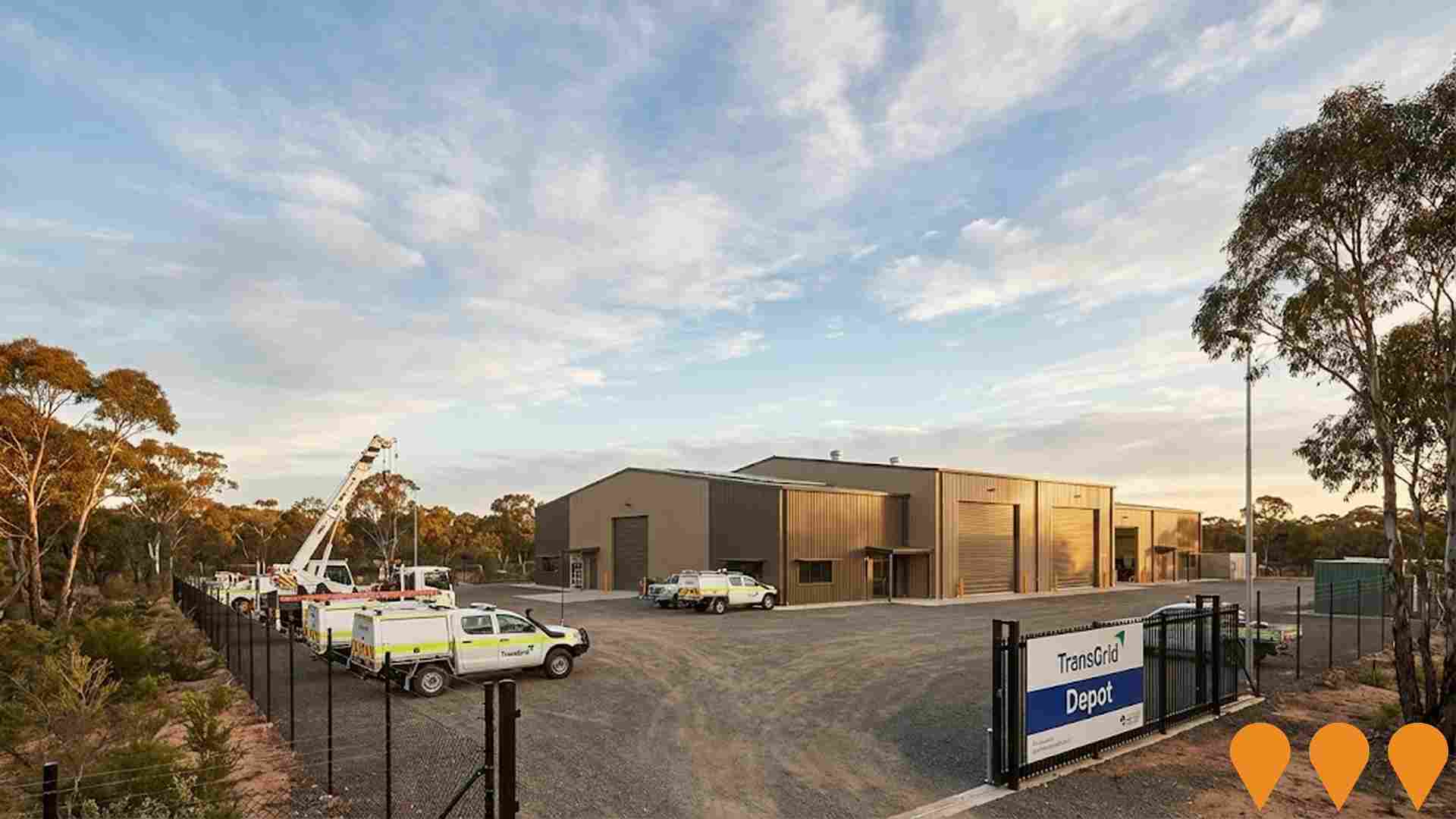
Changes in local infrastructure significantly affect an area's performance. AreaSearch has identified 18 projects that could impact this region. Notable ones include Tamworth Global Gateway Park, Rosary College Lifestyle Community, Maintenance and Workshop Buildings, and Majestic Tamworth. The following list details those likely to be most relevant.
Professional plan users can use the search below to filter and access additional projects.
INFRASTRUCTURE SEARCH
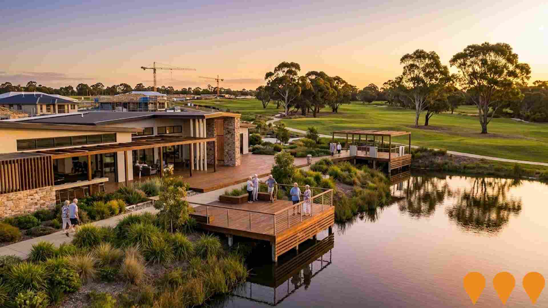
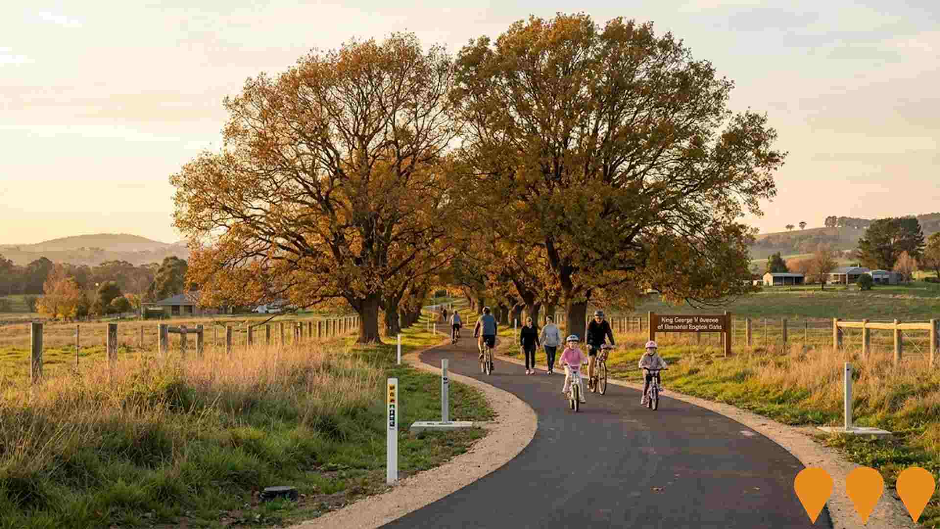
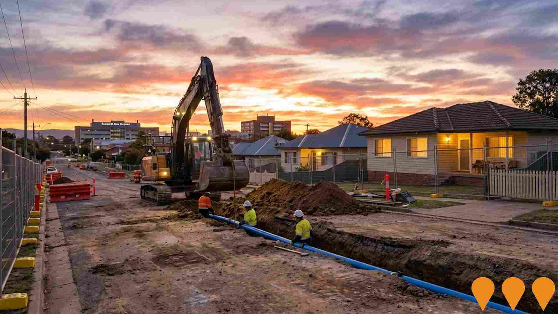
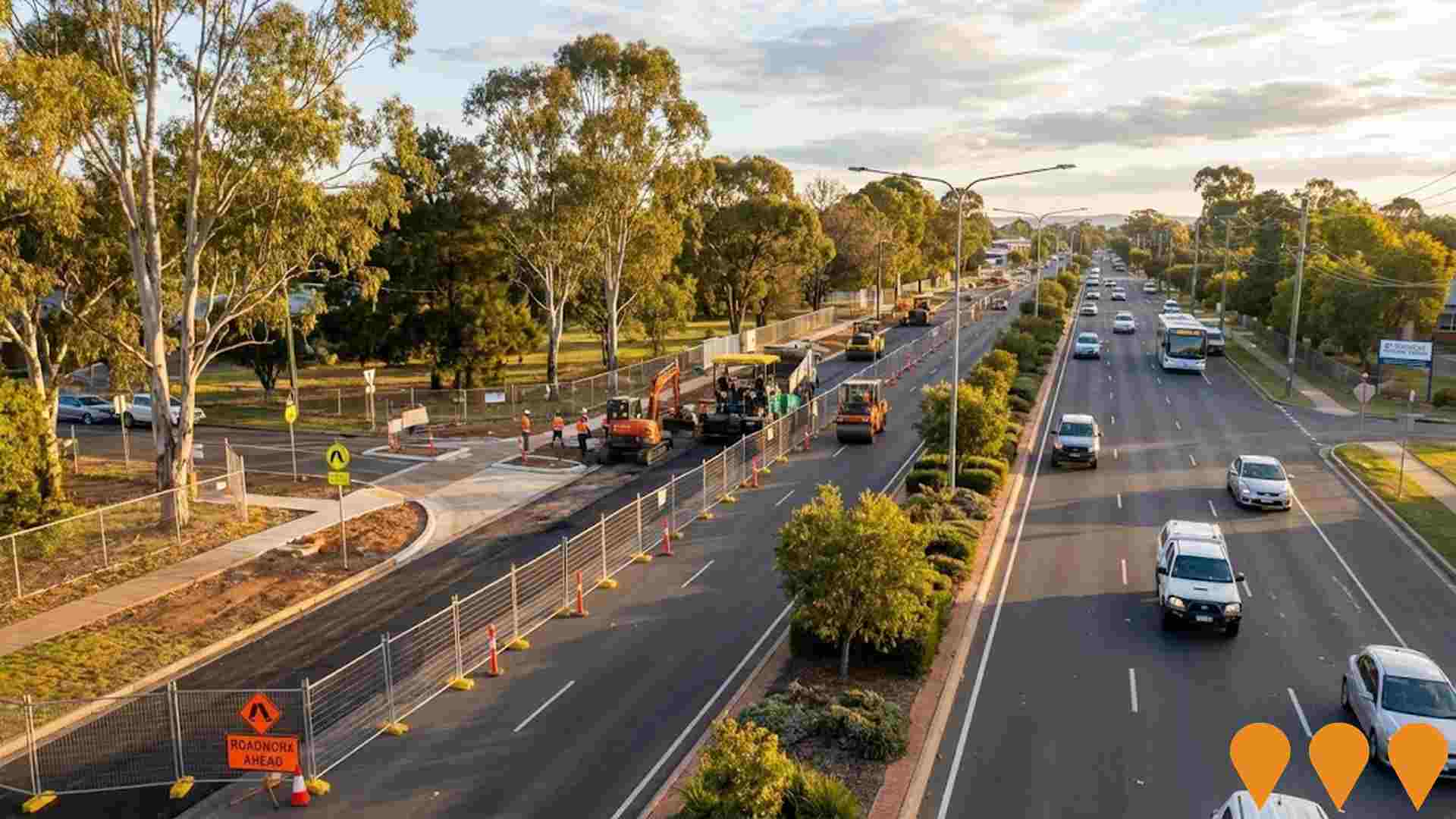
 Denotes AI-based impression for illustrative purposes only, not to be taken as definitive under any circumstances. Please follow links and conduct other investigations from the project's source for actual imagery. Developers and project owners wishing us to use original imagery please Contact Us and we will do so.
Frequently Asked Questions - Infrastructure
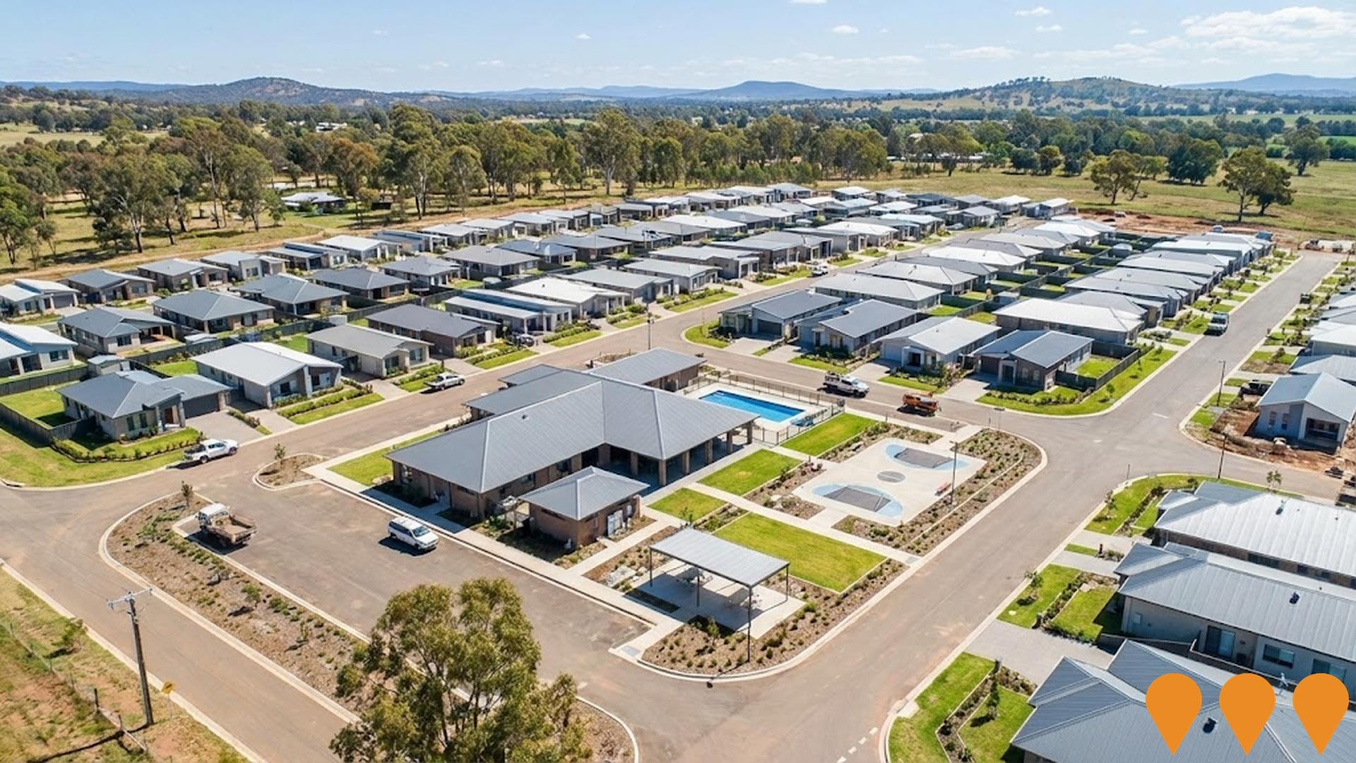
Oxley Vale Lifestyle Estate
A staged 218-dwelling manufactured housing estate designed as a land lease community for the aging population, including communal facilities such as a clubhouse, pool, and recreational areas. The project aims to address regional housing shortages in Tamworth, NSW.
Tamworth Sports and Entertainment Precinct
A comprehensive structure plan to transform the sports and entertainment area into a premier regional destination. The precinct encompasses AELEC (Australian Equine and Livestock Events Centre), TRECC (Tamworth Regional Entertainment and Conference Centre), Northern Inland Centre of Sporting Excellence (NICSE), former athletics track, and Longyard Golf Course. Key developments include a $48.6 million AELEC expansion with Western and Eastern wings, a $45 million aquatic centre and health facility, establishment of Special Entertainment Precincts to support live music and events, improved road connections, tourist accommodation, and enhanced sporting facilities. The precinct aims to generate greater economic benefits from events and tourism while providing world-class recreational facilities for the community.

Goonoo Goonoo Commercial Precinct
A 52-hectare (130-acre) large-format retail and commercial precinct, the last E3-zoned land in Tamworth's Longyard bulky goods area. Anchored by a full-line Woolworths supermarket with neighbourhood retail including chemist, GP, childcare and ancillary tenancies. Offers flexibility for large-format retailers and business uses across multiple stages and 41+ lots. Bulk earthworks completed and progressing well; civil construction underway and due for completion end-2025, with lot registration early 2026. Provides direct access to New England Highway and acts as a major economic catalyst for South Tamworth.

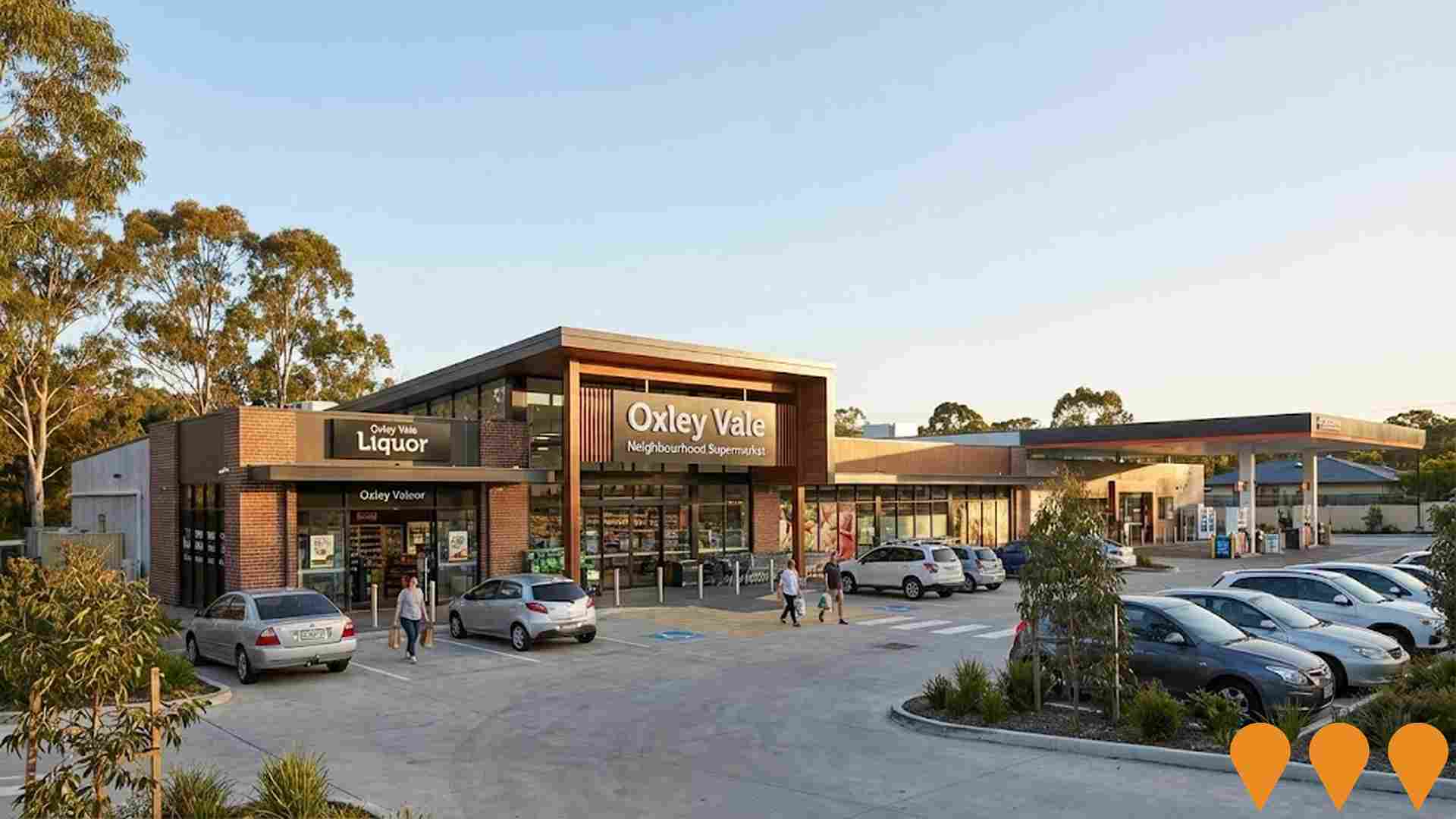
Oxley Vale Neighbourhood Supermarket
Redevelopment of the existing site, known as Lots A and B DP 161758, which currently contains the 'Oxleyvale Superette', into a neighbourhood supermarket, liquor retail outlet, and service station with associated parking and loading facilities to support local community growth. The project required an amendment to the Tamworth Regional Local Environmental Plan 2010 (TRLEP 2010) via a Planning Proposal (Phase 1 Review) to re-zone the land to E1 - Local Centre, which has been approved by the NSW Government and adopted by Council. The Planning Proposal aimed to enable the neighbourhood supermarket development which was previously prohibited in the R1 - General Residential zone.
Tamworth Regional Skywalk
A 1.5km elevated walking platform rising through the tree canopy from Endeavour Drive to Oxley Scenic Lookout in Victoria Park, featuring three viewing platforms and two rest areas. Designed as a premier regional tourist attraction providing safe pedestrian access with commanding views toward the Liverpool Ranges. Construction commenced in late 2024 with footing installation underway and main structure assembly beginning mid-2025. The project prioritizes accessibility with 85% of the structure providing ramped access compliant with Australian Standards.
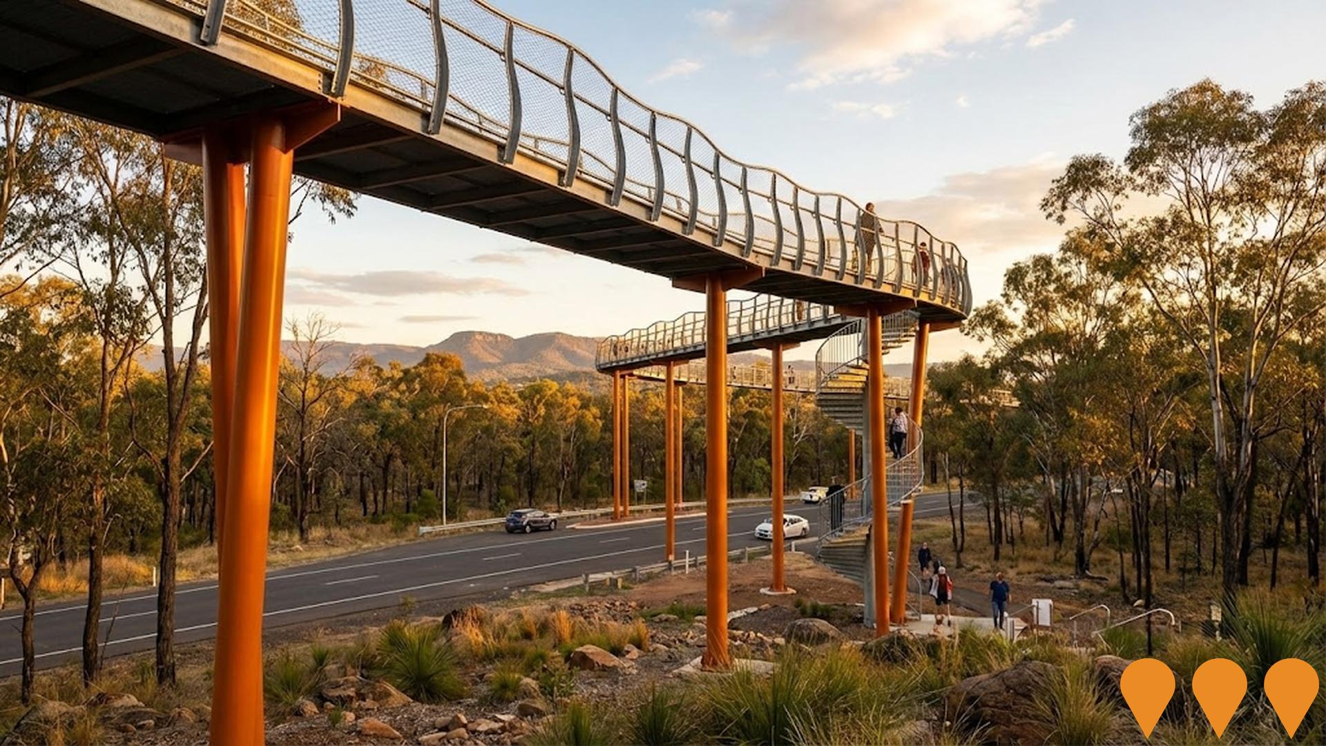
Tamworth Global Gateway Park
Tamworth Global Gateway Park is a 246-hectare, council-owned, master-planned enterprise and logistics park at Westdale, adjacent to Tamworth Regional Airport. The multi-stage project includes serviced industrial and commercial lots, internal access roads, trunk stormwater infrastructure, upgraded heavy vehicle access (including the Country Road and Oxley Highway roundabout), and a Qube-operated intermodal rail freight terminal. Early infrastructure works and stages 1-2 are substantially complete, most initial lots are sold or under contract, and further stages continue through the 2020s-2030s, driving regional economic growth and employment.

Rosary College Lifestyle Community
Transformation of the derelict Rosary College site into an over-50s lifestyle community featuring 158 dwellings with modern homes and comprehensive amenities. The land lease community will include a gym, sales office, sports lounge, activities room, multipurpose hall, and craft/library room. The development aims to provide low-maintenance living with modern homes for residents looking to downsize or join a vibrant new community at an affordable price. The site has been vacant since 2003 and has been an eyesore for the local community.
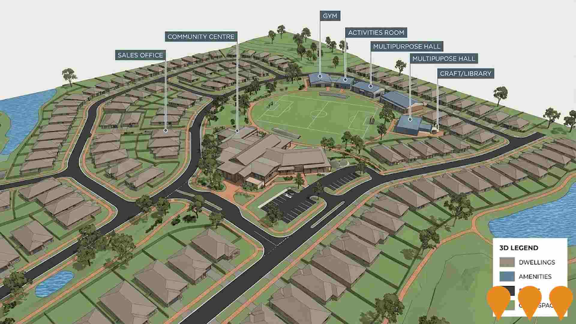
Goonoo Goonoo Road Upgrade
A $58.4 million upgrade of Goonoo Goonoo Road on the New England Highway to improve safety, traffic flow, and support regional growth. The priority northern section between Craigends Lane and Calala Lane will be upgraded first, including duplication to two lanes each direction, replacing the Calala Lane roundabout with traffic signals, adding turning lanes, and building new pedestrian infrastructure. The road serves over 20,000 motorists daily and is a critical freight link for the Tamworth region.

Employment
AreaSearch assessment indicates Tamworth - West faces employment challenges relative to the majority of Australian markets
Tamworth - West has a balanced workforce with both white and blue collar jobs, prominently featuring manufacturing and industrial sectors. As of September 2025, its unemployment rate is 6.4%.
Over the past year, employment has remained relatively stable in the area. As of September 2025, 3,048 residents are employed, with an unemployment rate of 9% above Rest of NSW's rate of 3.8%, and workforce participation at 53.5%, slightly below the regional average of 56.4%. Key industries for employment among residents include manufacturing, health care & social assistance, and retail trade. Manufacturing stands out with employment levels at three times the regional average.
Conversely, education & training has lower representation at 4.8% compared to the regional average of 9.6%. The worker-to-resident ratio is 1:1, indicating substantial local employment opportunities. Over the year to September 2025, labour force levels increased by 1.3%, while employment decreased by 0.1%, leading to a rise in unemployment rate by 1.3 percentage points. In comparison, Rest of NSW saw employment fall by 0.5% and unemployment rise by 0.4%. State-level data from 25-Nov shows NSW employment contracted by 0.03%, with an unemployment rate of 3.9%, compared to the national rate of 4.3%. National employment forecasts from May-25 project growth of 6.6% over five years and 13.7% over ten years, but growth rates vary significantly between sectors. Applying these projections to Tamworth - West's employment mix suggests local employment should increase by 5.3% over five years and 12.0% over ten years.
Frequently Asked Questions - Employment
Income
Income metrics place the area in the bottom 10% of locations nationally according to AreaSearch analysis
Tamworth-West SA2's median income among taxpayers in financial year 2022 was $43,604. The average income stood at $52,531 during the same period. In comparison, Rest of NSW had median and average incomes of $49,459 and $62,998 respectively. By September 2025, estimates suggest the median income will be approximately $49,102 and the average income around $59,155, based on a 12.61% growth in wages since financial year 2022. According to the 2021 Census, incomes in Tamworth-West fall between the 15th and 20th percentiles nationally. The largest income segment comprises 30.3% of residents earning $1,500-$2,999 weekly, mirroring regional levels where 29.9% occupy this bracket. Housing affordability pressures are severe in Tamworth-West, with only 81.2% of income remaining after housing costs, ranking at the 13th percentile nationally.
Frequently Asked Questions - Income
Housing
Tamworth - West is characterized by a predominantly suburban housing profile, with a higher proportion of rental properties than the broader region
In Tamworth - West, as per the latest Census evaluation, houses accounted for 95.1% of dwellings, with the remaining 4.9% comprising semi-detached properties, apartments, and other dwelling types. This compares to Non-Metro NSW's figures of 89.5% houses and 10.4% other dwellings. Home ownership in Tamworth - West stood at 23.0%, with mortgaged dwellings at 28.3% and rented dwellings at 48.7%. The median monthly mortgage repayment was $1,387, lower than Non-Metro NSW's average of $1,500. The median weekly rent in Tamworth - West was $290, compared to Non-Metro NSW's figure of $300. Nationally, Tamworth - West's mortgage repayments were significantly lower at $1,387 than the Australian average of $1,863, while rents were substantially below the national figure of $375.
Frequently Asked Questions - Housing
Household Composition
Tamworth - West has a typical household mix, with a higher-than-average median household size
Family households constitute 72.9% of all households, including 26.2% couples with children, 21.9% couples without children, and 23.2% single parent families. Non-family households comprise the remaining 27.1%, with lone person households at 23.2% and group households at 3.8%. The median household size is 2.7 people, which is larger than the Rest of NSW average of 2.4.
Frequently Asked Questions - Households
Local Schools & Education
Tamworth - West faces educational challenges, with performance metrics placing it in the bottom quartile of areas assessed nationally
The area's university qualification rate is 9.0%, significantly lower than the NSW average of 32.2%. This disparity presents both a challenge and an opportunity for targeted educational initiatives. Bachelor degrees are most common at 6.6%, followed by postgraduate qualifications (1.3%) and graduate diplomas (1.1%). Trade and technical skills are prominent, with 40.3% of residents aged 15+ holding vocational credentials – advanced diplomas (7.1%) and certificates (33.2%).
Educational participation is high, with 36.5% of residents currently enrolled in formal education. This includes 16.4% in primary education, 10.8% in secondary education, and 1.5% pursuing tertiary education.
Frequently Asked Questions - Education
Schools Detail
Nearby Services & Amenities
Transport
Transport servicing is moderate compared to other areas nationally based on assessment of service frequency, route connectivity and accessibility
The analysis shows 159 active transport stops operating in Tamworth - West, all of which are bus stops. These stops are served by 57 individual routes that together provide 508 weekly passenger trips. The accessibility of public transport is rated as excellent, with residents typically located 107 meters from the nearest stop.
On average, there are 72 trips per day across all routes, which equates to approximately three weekly trips per stop.
Frequently Asked Questions - Transport
Transport Stops Detail
Health
Health performance in Tamworth - West is well below average with prevalence of common health conditions notable across both younger and older age cohorts
Tamworth - West faces significant health challenges, as indicated by its health data. Both younger and older age groups have a notable prevalence of common health conditions. Private health cover is low, at approximately 47% of the total population (around 3,383 people), compared to 50.0% in Rest of NSW and the national average of 55.3%.
The most prevalent medical conditions are asthma and mental health issues, affecting 11.3% and 11.2% of residents respectively. About 64.3% of residents report no medical ailments, compared to 63.4% in Rest of NSW. The area has a lower proportion of seniors aged 65 and over at 12.1% (879 people), compared to 19.9% in Rest of NSW. Health outcomes among seniors are challenging but generally align with the overall population's health profile.
Frequently Asked Questions - Health
Cultural Diversity
Tamworth - West is considerably less culturally diverse than average when assessed alongside AreaSearch's national rankings for language and cultural background related metrics
Tamworth-West showed lower cultural diversity, with 82.8% citizens, 89.8% born in Australia, and 91.6% speaking English only at home. Christianity was the predominant religion, comprising 54.1%, compared to 63.6% across Rest of NSW. The top three ancestry groups were Australian (32.6%), English (25.8%), and Australian Aboriginal (19.5%), which was significantly higher than the regional average of 9.4%.
Notably, Filipino representation stood at 2.7%, compared to 0.7% regionally, and Maori at 0.6%, versus 0.2%.
Frequently Asked Questions - Diversity
Age
Tamworth - West hosts a very young demographic, ranking in the bottom 10% of areas nationwide
Tamworth-West's median age is 30 years, which is significantly lower than the Rest of NSW average of 43 years and considerably under the Australian median of 38 years. Compared to the Rest of NSW, Tamworth-West has a higher percentage of residents aged 25-34 (16.9%) but fewer residents aged 65-74 (6.6%). According to the 2021 Census, the age group of 25 to 34 has increased from 15.0% to 16.9% of the population since the previous census. Conversely, the age groups of 5 to 14 and 55 to 64 have decreased from 18.1% to 16.5% and 9.1% to 8.0%, respectively. Demographic projections indicate that Tamworth-West's age profile will change significantly by 2041. The 25 to 34 age group is projected to grow the most, with a 29% increase adding 354 residents to reach a total of 1,575. Meanwhile, both the 5 to 14 and 75 to 84 age groups are expected to have reduced numbers.

