Chart Color Schemes
This analysis uses ABS Statistical Areas Level 2 (SA2) boundaries, which can materially differ from Suburbs and Localities (SAL) even when sharing similar names.
SA2 boundaries are defined by the Australian Bureau of Statistics and are designed to represent communities for statistical reporting (e.g., census and ERP).
Suburbs and Localities (SAL) represent commonly-used suburb/locality names (postal-style areas) and may use different geographic boundaries. For comprehensive analysis, consider reviewing both boundary types if available.
est. as @ -- *
ABS ERP | -- people | --
2021 Census | -- people
Sales Activity
Curious about local property values? Filter the chart to assess the volume and appreciation (including resales) trends and regional comparisons, or scroll to the map below view this information at an individual property level.
Find a Recent Sale
Sales Detail
Population
Scone Surrounds is positioned among the lower quartile of areas assessed nationally for population growth based on AreaSearch's assessment of recent, and medium term trends
Based on AreaSearch's analysis, Scone Surrounds' population is around 8,607 as of Nov 2025. This reflects an increase of 413 people since the 2021 Census, which reported a population of 8,194 people. The change is inferred from the estimated resident population of 8,380 from the ABS as of June 2024 and an additional 184 validated new addresses since the Census date. This level of population equates to a density ratio of 1.1 persons per square kilometer. Scone Surrounds' growth of 5.0% since the 2021 census exceeded the SA3 area's growth of 3.3%, marking it as a growth leader in the region. Natural growth contributed approximately 50.9% of overall population gains during recent periods.
AreaSearch adopts ABS/Geoscience Australia projections for each SA2 area, released in 2024 with 2022 as the base year. For areas not covered by this data, AreaSearch utilises NSW State Government's SA2 level projections, released in 2022 with 2021 as the base year. Growth rates by age group from these aggregations are applied to all areas for years 2032 to 2041. Based on demographic trends and latest annual ERP population numbers, Scone Surrounds is expected to grow by 754 persons to 2041, reflecting a gain of 6.1% in total over the 17 years.
Frequently Asked Questions - Population
Development
AreaSearch assessment of residential development drivers sees a low level of activity in Scone Surrounds, placing the area among the bottom 25% of areas assessed nationally
Scone Surrounds has seen approximately 18 new homes approved each year over the past five financial years, totalling 93 homes. In FY26 so far, 5 approvals have been recorded. On average, one new resident per year per dwelling constructed has been observed between FY21 and FY25, indicating that supply is meeting or exceeding demand, offering greater buyer choice while supporting potential population growth above projections. The average construction cost value of new homes in the area is $396,000, which is somewhat higher than regional norms, reflecting quality-focused development.
This financial year has seen $24.7 million in commercial development approvals, suggesting balanced commercial development activity. Compared to the Rest of NSW and nationally, Scone Surrounds shows approximately 75% of construction activity per person, placing it among the 32nd percentile of areas assessed, indicating somewhat limited buyer options while strengthening demand for established properties. Recent building activity consists entirely of detached houses, maintaining the area's traditional low density character with a focus on family homes appealing to those seeking space. The estimated count of 517 people in the area per dwelling approval reflects its quiet, low activity development environment.
Population forecasts indicate Scone Surrounds will gain 523 residents through to 2041, based on the latest AreaSearch quarterly estimate. Existing development levels seem aligned with future requirements, maintaining stable market conditions without significant price pressures.
Frequently Asked Questions - Development
Infrastructure
Scone Surrounds has moderate levels of nearby infrastructure activity, ranking in the 42ndth percentile nationally
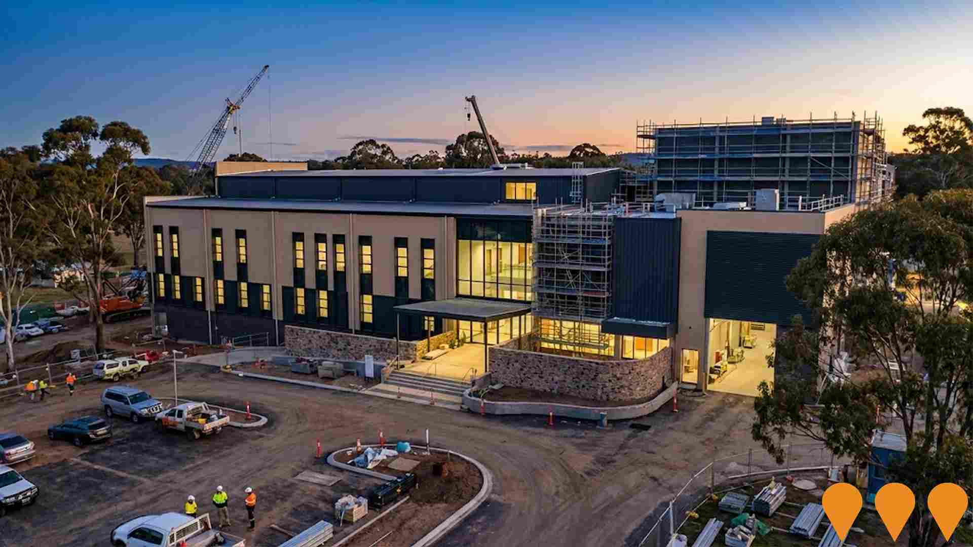
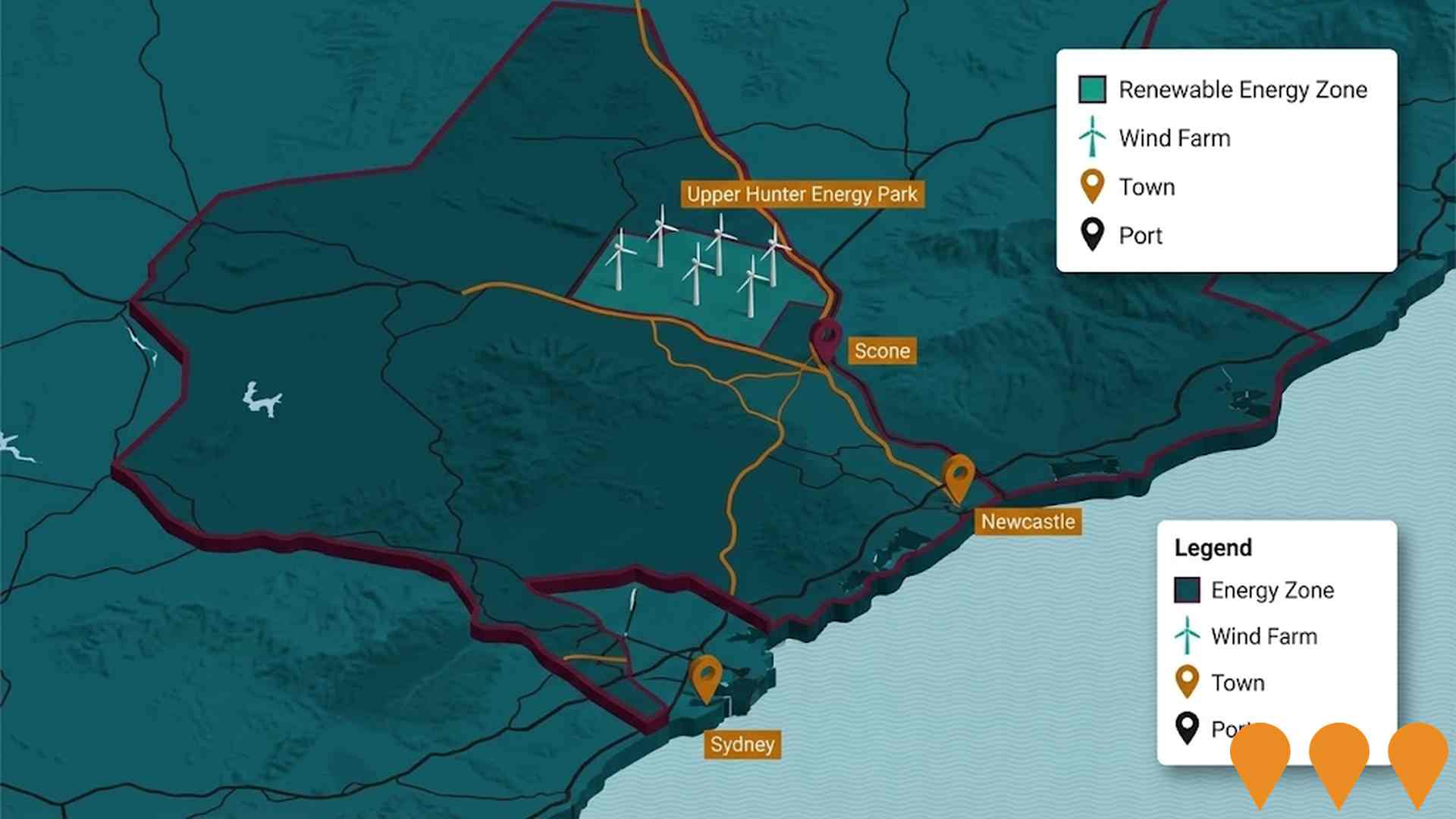
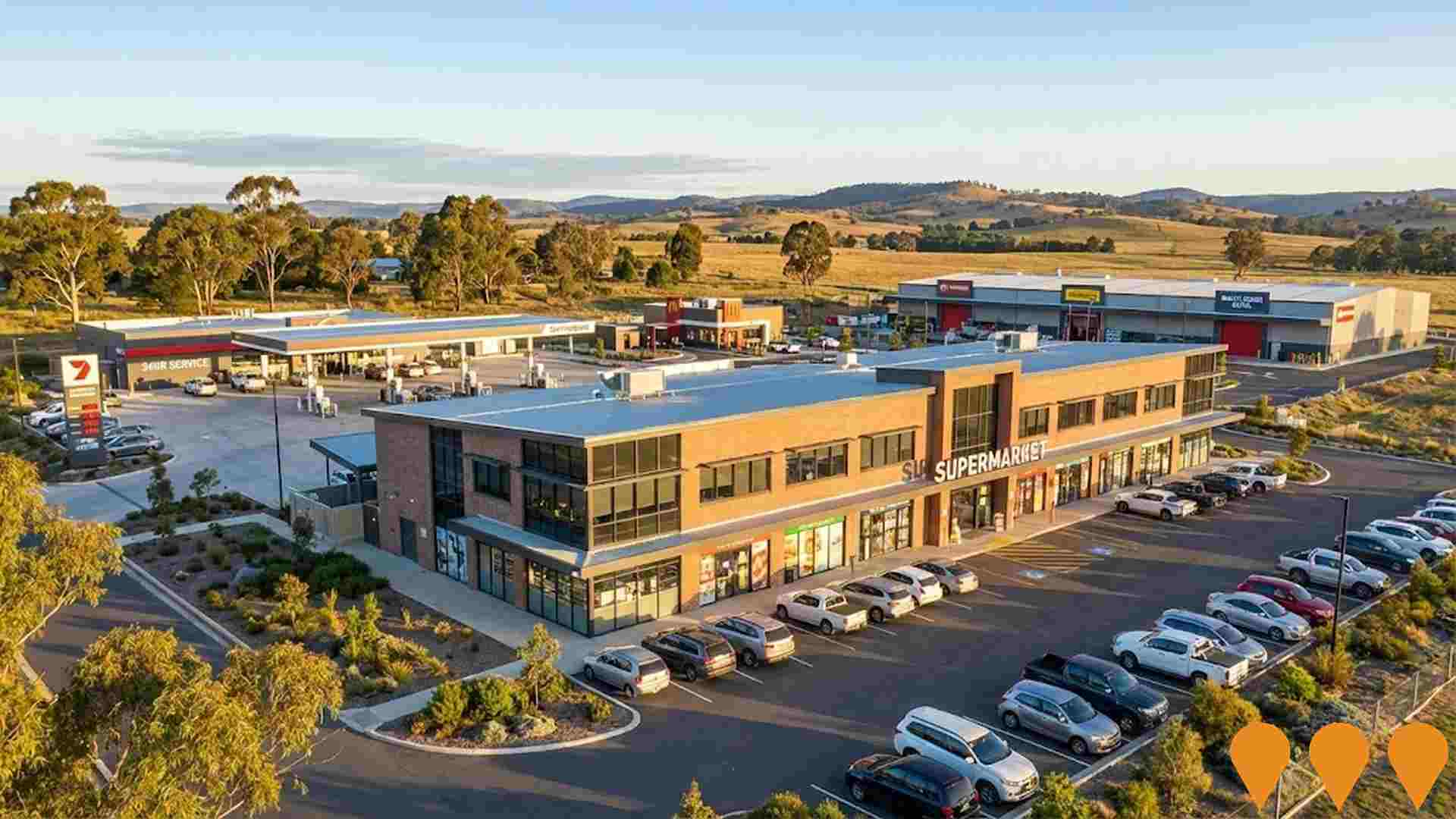
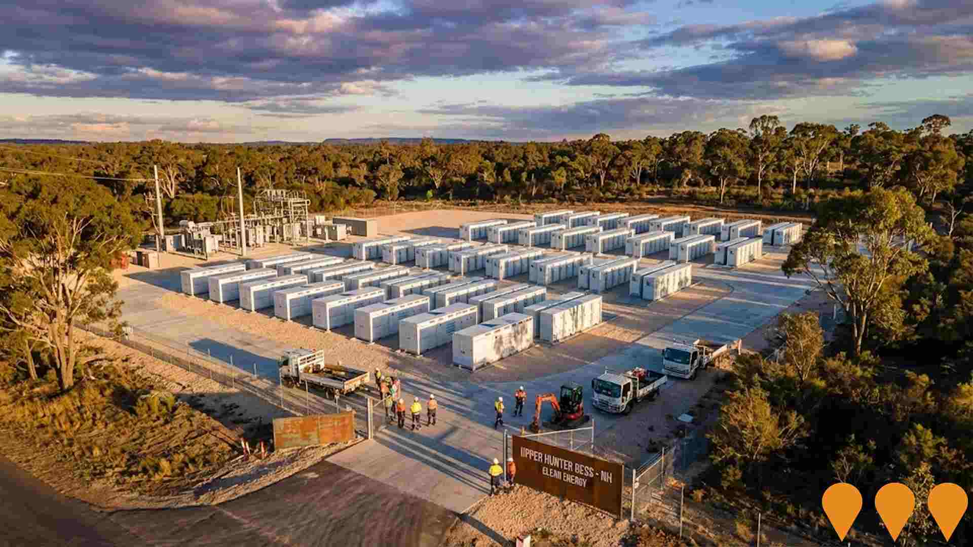
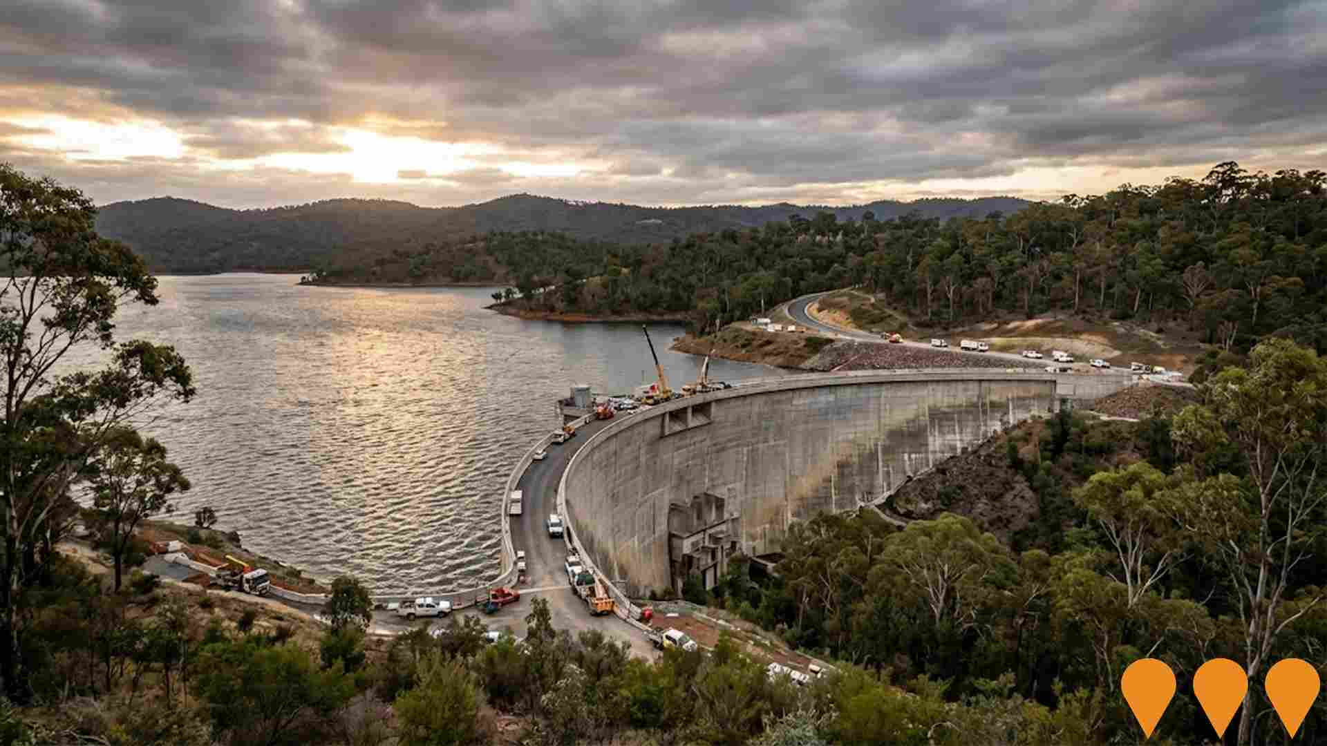
Changes to local infrastructure significantly impact an area's performance. AreaSearch identified 42 projects that could affect the region. Notable initiatives include Upper Hunter Energy Park, Aberdeen Valley Fair Commercial Development, Upper Hunter Battery Energy Storage System (BESS), and AGL Pumped Hydro Projects at Glenbawn and Glennies Creek. The following list details those most likely to be relevant.
Professional plan users can use the search below to filter and access additional projects.
INFRASTRUCTURE SEARCH
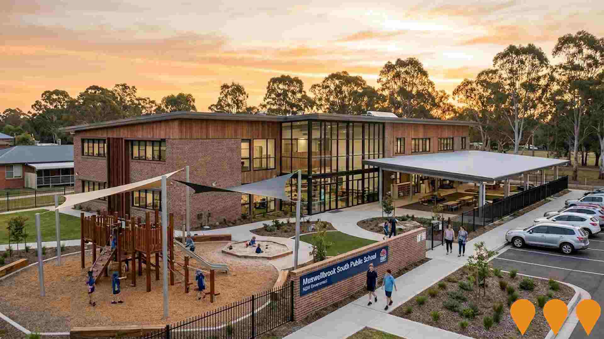
 Denotes AI-based impression for illustrative purposes only, not to be taken as definitive under any circumstances. Please follow links and conduct other investigations from the project's source for actual imagery. Developers and project owners wishing us to use original imagery please Contact Us and we will do so.
Frequently Asked Questions - Infrastructure
Muswellbrook Clean Industries Precinct (MCIP)
A master-planned industrial precinct on a former coal mine site, part of Idemitsu's transition strategy. It aims to incorporate clean energy technologies, green hydrogen production, manufacturing facilities, and training/research facilities. Key components currently progressing are the Muswellbrook Solar Farm (135MWac solar farm and 135MW/270MWh BESS) which is Development Approved/Under Assessment, and the proposed Muswellbrook Pumped Hydro Energy Storage (PHES) project (400MW, 8-hour duration) with AGL, which is declared Critical State Significant Infrastructure.
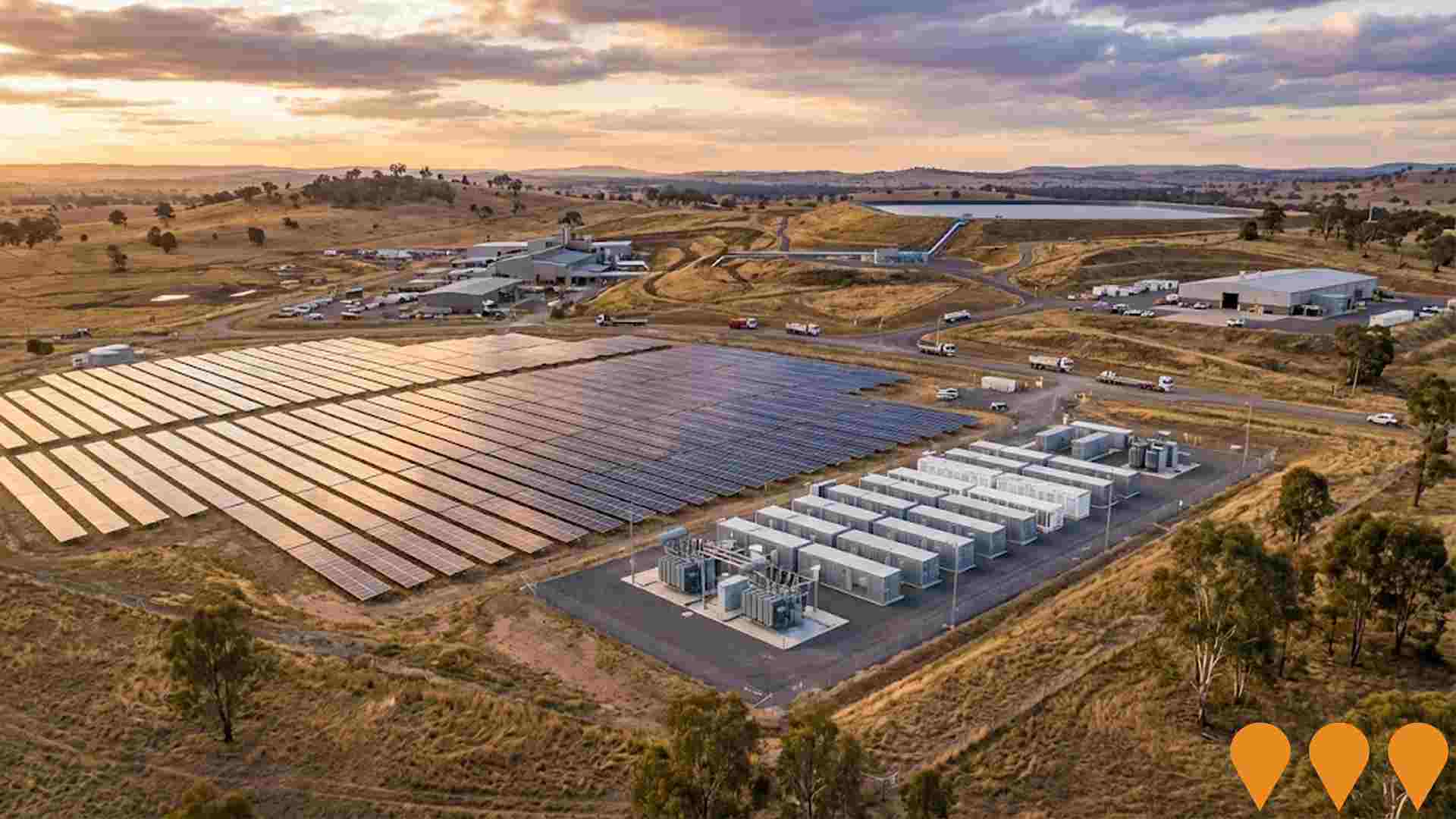
Muswellbrook Solar Farm
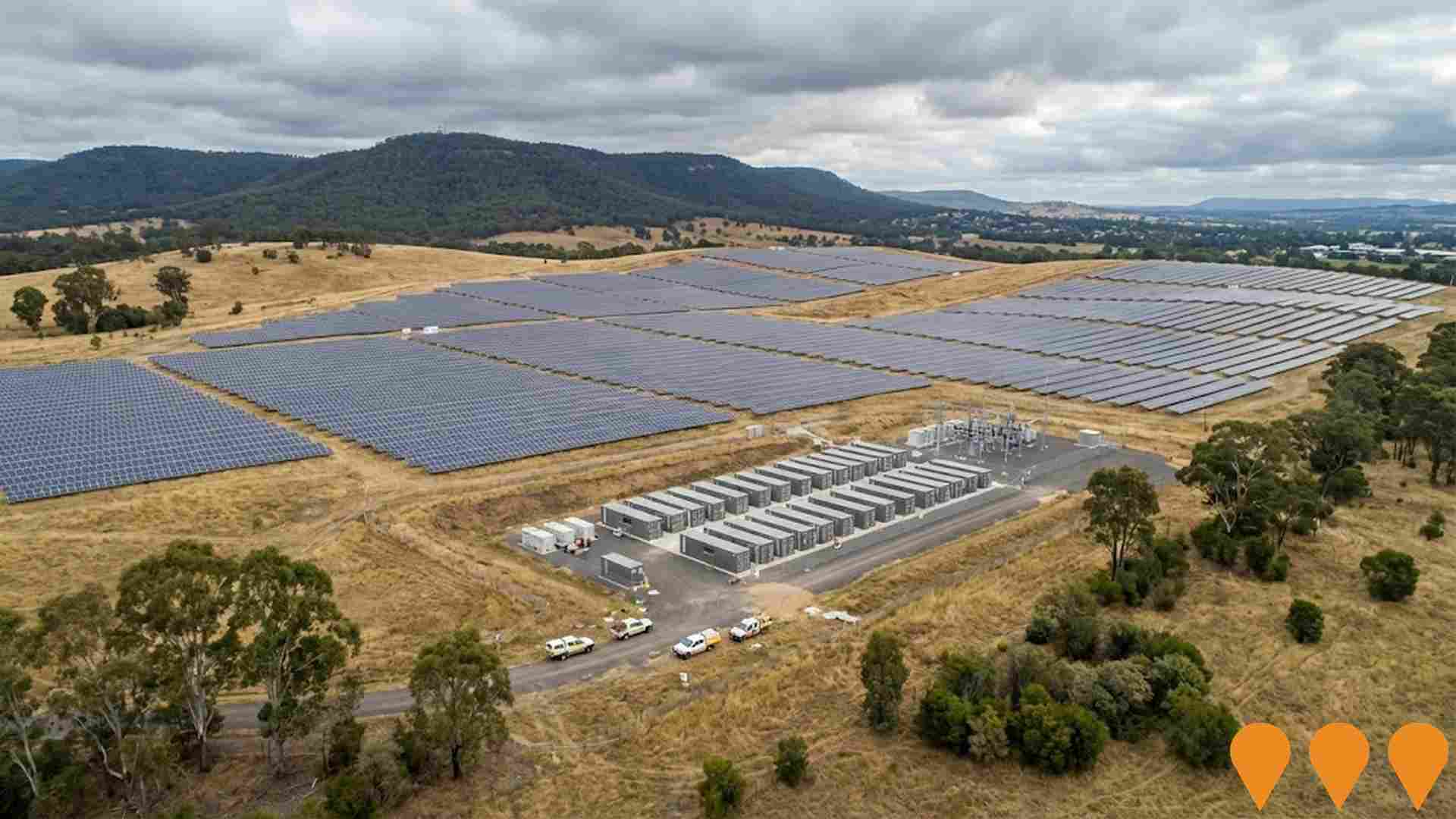
135MW solar farm and 135MW/270MWh battery energy storage facility on the former Muswellbrook Coal Mine site. Approved by NSW Independent Planning Commission in May 2025, the project will power 52,310 homes and create 20 construction jobs plus 9 permanent jobs. Located within the Hunter-Central Coast Renewable Energy Zone, this project represents the transformation of Australia's oldest open-cut coal mine into a renewable energy facility. Developed by OX2 and Idemitsu Australia. Also includes a 135 MW solar farm with a 135 MW / 270 MWh Battery Energy Storage System at Sandy Creek Road location.
Muswellbrook Marketplace Redevelopment
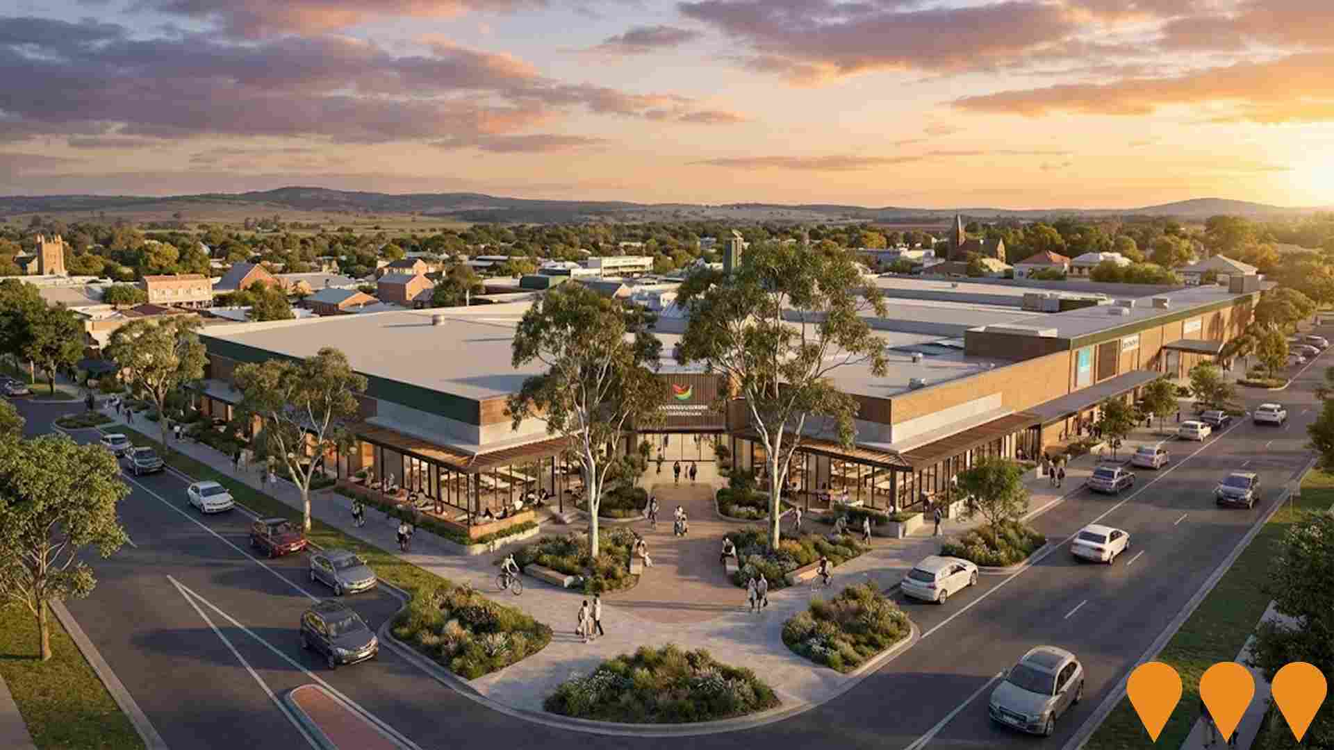
Major redevelopment of the shopping centre to improve connections to Bridge Street, enhance pedestrian flows, all-ability access, active frontages, and integration with town centre. Council acquired the marketplace for $34.25 million in 2024 to deliver staged renovations aligned with the Town Centre Strategy.
Muswellbrook Thermal Storage Facility
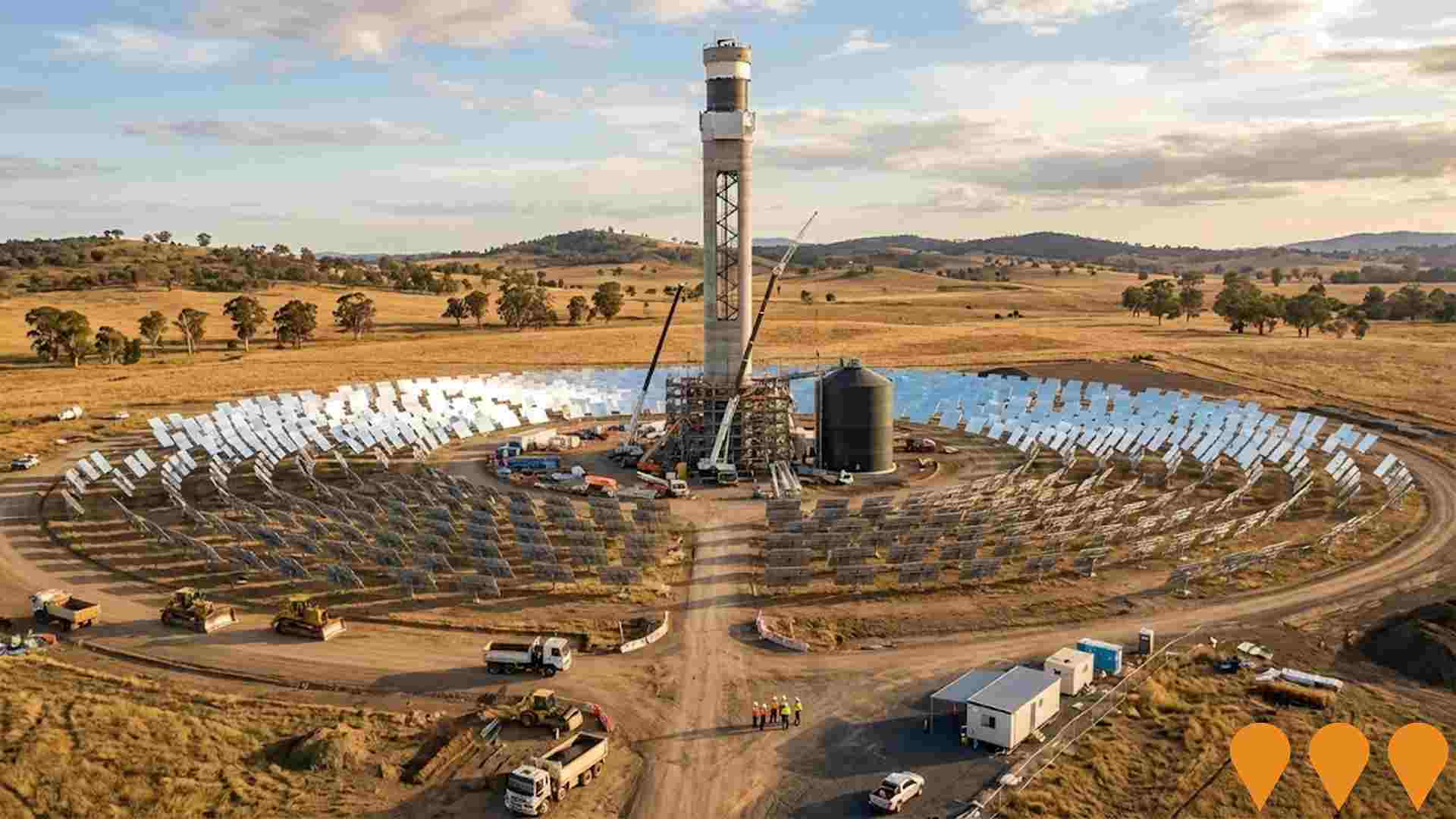
Installation and operation of a 4.99 MW concentrated solar thermal demonstration facility using CSIRO's particle-based CST technology. Features approximately 7,600 heliostats, a 110-meter solar tower with 16-hour thermal storage, and supporting infrastructure. The facility will store solar heat in ceramic particles to generate electricity when needed, supplying clean power to the national grid. Environmental and social studies are underway as part of the planning approvals process.
Muswellbrook Fair Shopping Centre
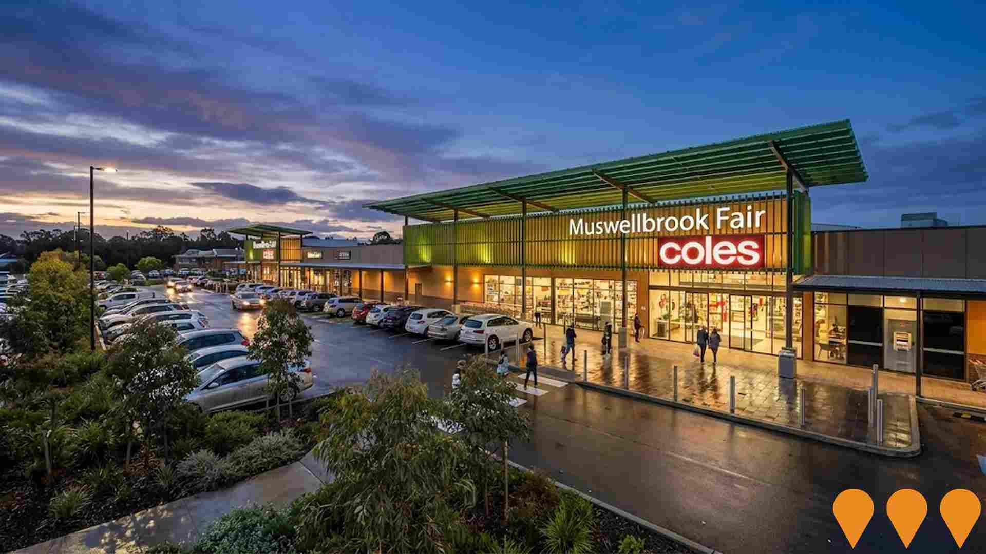
Muswellbrook Fair is a neighbourhood shopping centre featuring 8,750 sqm of retail space anchored by Coles Supermarket, with mini-majors Harvey Norman and The Reject Shop, plus 23 specialty retailers. The single-level centre is configured over three buildings surrounding a centrally located on-grade car park with 270 parking spaces.
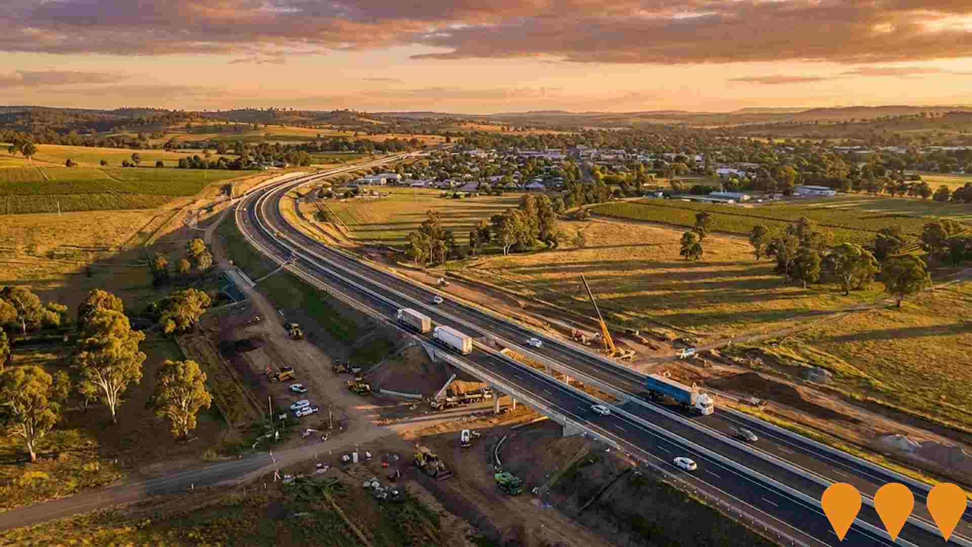
New England Highway - Muswellbrook Bypass
9.1km bypass of Muswellbrook on the New England Highway to improve freight efficiency and road safety. Joint Australian Government ($268.8M) and NSW Government ($182.8M) funding totaling $451.6M. Construction expected 2027-2030. The project will reduce travel times, improve road safety, and increase freight efficiency through the Hunter Valley region.
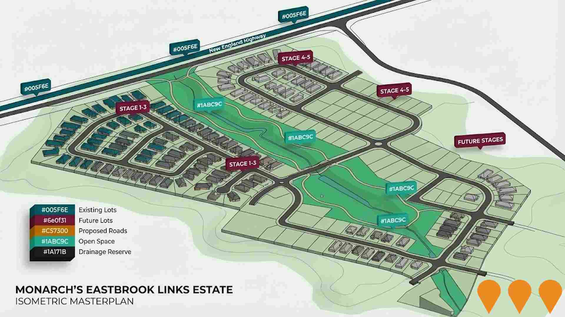
Eastbrook Links Estate
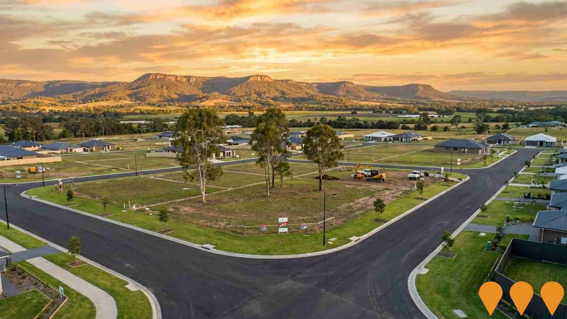
Large-scale residential subdivision comprising 1,100 lots across 230 hectares at the eastern gateway to Muswellbrook. The master-planned estate includes new road intersections with New England Highway, comprehensive infrastructure including water, sewerage, drainage reserves, open space, walking and cycling paths, and playing fields. Development is staged across 32 phases with ongoing construction and sales.
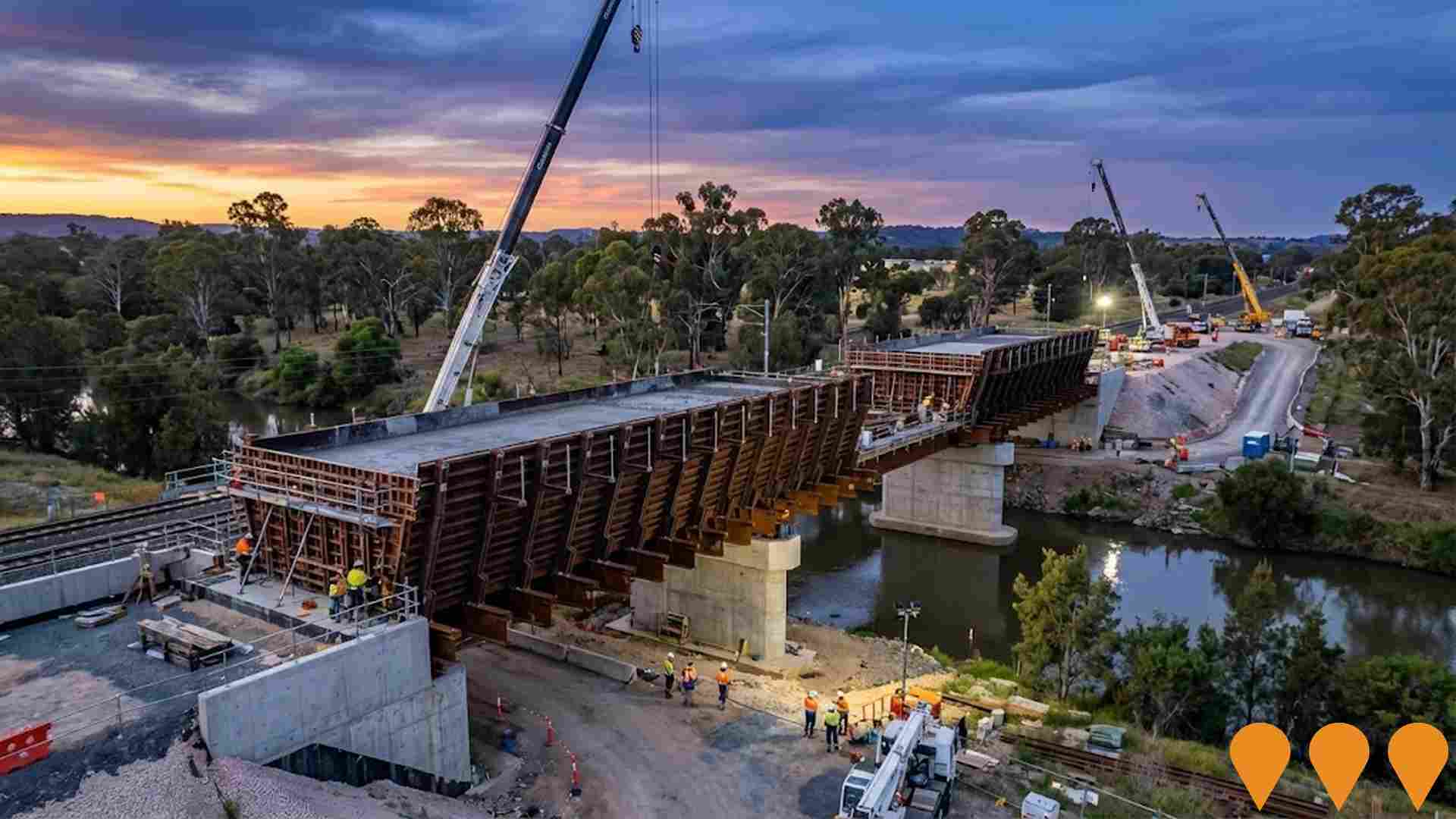
Muswellbrook Bridge Replacements
Replacement of three aging rail bridges on the Hunter Valley rail line to improve network reliability and safety. The project involved demolishing and replacing the Bridge Street, Muscle Creek, and Hunter River bridges with modern concrete structures. The Bridge Street bridge was replaced with a 26-meter single-span concrete bridge, while the Muscle Creek and Hunter River bridges were replaced with a combined 176-meter multi-span concrete bridge using innovative incremental launch construction methodology.
Employment
Despite maintaining a low unemployment rate of 3.3%, Scone Surrounds has experienced recent job losses, resulting in a below average employment performance ranking when compared nationally
Scone Surrounds has a balanced workforce with both white and blue collar jobs, prominently featuring manufacturing and industrial sectors. Its unemployment rate is 3.3%.
As of September 2025, 4,093 residents are employed while the unemployment rate is 0.5% lower than Rest of NSW's rate of 3.8%. Workforce participation stands at 59.3%, slightly higher than Rest of NSW's 56.4%. Key employment sectors include agriculture, forestry & fishing, mining, and health care & social assistance. The area specializes in agriculture, forestry & fishing with an employment share 4.7 times the regional level.
However, health care & social assistance has limited presence at 8.8% compared to the regional rate of 16.9%. Local employment opportunities appear limited based on Census data comparison between working population and resident population. Between September 2024 and September 2025, Scone Surrounds' labour force decreased by 2.7%, with employment declining by a similar percentage, keeping unemployment relatively stable. In contrast, Rest of NSW saw an employment decline of 0.5% and a slight rise in unemployment. Statewide, NSW's employment contracted by 0.03% (losing 2,260 jobs) as of 25-Nov-25, with an unemployment rate of 3.9%. Nationally, the unemployment rate is 4.3%. Jobs and Skills Australia forecasts national employment growth of 6.6% over five years and 13.7% over ten years. Applying these projections to Scone Surrounds' employment mix suggests local employment could increase by 4.9% in five years and 11.2% in ten years, though these are simple extrapolations for illustrative purposes only.
Frequently Asked Questions - Employment
Income
Income levels sit below national averages according to AreaSearch assessment
The Scone Surrounds SA2 had a higher than average national income level according to latest ATO data aggregated by AreaSearch for financial year ended June 30, 2022. The median income among taxpayers was $49,222 and the average income stood at $69,666. These figures compared to Rest of NSW's median income of $49,459 and average income of $62,998 respectively. Based on Wage Price Index growth of 12.61% since financial year ended June 30, 2022, current estimates would be approximately $55,429 (median) and $78,451 (average) as of September 2025. Census data revealed household, family, and personal incomes all ranked modestly in Scone Surrounds, between the 25th and 29th percentiles. Income brackets indicated that the $1,500 - $2,999 earnings band captured 29.5% of the community (2,539 individuals), consistent with broader trends across the metropolitan region showing 29.9% in the same category. Housing costs were modest with 87.5% of income retained, and total disposable income ranked at just the 30th percentile nationally.
Frequently Asked Questions - Income
Housing
Scone Surrounds is characterized by a predominantly suburban housing profile, with above-average rates of outright home ownership
The dwelling structure in Scone Surrounds, as per the latest Census, consisted of 95.5% houses and 4.5% other dwellings (including semi-detached homes, apartments, and 'other' dwellings). This is compared to Non-Metro NSW's 89.7% houses and 10.3% other dwellings. Home ownership in Scone Surrounds stood at 44.5%, with mortgaged dwellings at 33.5% and rented ones at 22.0%. The median monthly mortgage repayment was $1,500, lower than Non-Metro NSW's average of $1,538. The median weekly rent figure in Scone Surrounds was $250, compared to Non-Metro NSW's $290. Nationally, Scone Surrounds' mortgage repayments were significantly lower at $1,500 versus Australia's average of $1,863, and rents were substantially below the national figure of $375.
Frequently Asked Questions - Housing
Household Composition
Scone Surrounds has a typical household mix, with a fairly typical median household size
Family households constitute 68.8% of all households, including 26.4% couples with children, 33.9% couples without children, and 8.0% single parent families. Non-family households account for 31.2%, comprising 28.7% lone person households and 2.5% group households. The median household size is 2.4 people, aligning with the Rest of NSW average.
Frequently Asked Questions - Households
Local Schools & Education
Scone Surrounds faces educational challenges, with performance metrics placing it in the bottom quartile of areas assessed nationally
The area's university qualification rate is 13.9%, significantly lower than NSW's average of 32.2%. Bachelor degrees are the most common at 11.0%, followed by postgraduate qualifications (1.7%) and graduate diplomas (1.2%). Vocational credentials are prevalent, with 42.4% of residents aged 15+ holding them, including advanced diplomas (8.6%) and certificates (33.8%). Educational participation is high at 27.9%, with 10.6% in primary education, 9.1% in secondary education, and 1.8% pursuing tertiary education.
Educational participation is notably high, with 27.9% of residents currently enrolled in formal education. This includes 10.6% in primary education, 9.1% in secondary education, and 1.8% pursuing tertiary education.
Frequently Asked Questions - Education
Schools Detail
Nearby Services & Amenities
Transport
Transport servicing is moderate compared to other areas nationally based on assessment of service frequency, route connectivity and accessibility
Transport analysis indicates 363 active transport stops operating within Scone Surrounds. These include a mix of train and bus services. There are 47 individual routes servicing these stops, providing a total of 1,751 weekly passenger trips collectively.
Transport accessibility is rated as good, with residents typically located 282 meters from the nearest transport stop. Service frequency averages 250 trips per day across all routes, equating to approximately 4 weekly trips per individual stop.
Frequently Asked Questions - Transport
Transport Stops Detail
Health
Health performance in Scone Surrounds is lower than average with common health conditions somewhat prevalent across both younger and older age cohorts
Scone Surrounds faces significant health challenges with common health conditions prevalent across both younger and older age cohorts. The rate of private health cover is high at approximately 54% of the total population, which consists of around 4,682 people.
This compares to a rate of 57.5% across the Rest of NSW. The most common medical conditions in the area are arthritis and asthma, impacting 9.9% and 9.3% of residents respectively. Meanwhile, 65.6% of residents declare themselves completely clear of medical ailments, similar to the 65.4% figure for the Rest of NSW. The area has a higher proportion of residents aged 65 and over at 23.4%, with around 2,012 people falling into this category. This is higher than the 18.9% figure for the Rest of NSW.
Frequently Asked Questions - Health
Cultural Diversity
The latest Census data sees Scone Surrounds placing among the least culturally diverse areas in the country when compared across a range of language and cultural background related metrics
Scone Surrounds had a cultural diversity index below average, with 90.2% citizens, 91.8% born in Australia, and 97.6% speaking English only at home. Christianity was the predominant religion, at 68.2%, compared to 63.9% across Rest of NSW. The top three ancestral groups were Australian (35.8%), English (32.5%), and Irish (9.1%).
Notably, Australian Aboriginal representation was higher than regional averages, at 4.8% versus 6.6%. Scottish ancestry also showed a slight overrepresentation, at 8.0% compared to 7.3%.
Frequently Asked Questions - Diversity
Age
Scone Surrounds hosts a notably older demographic compared to the national average
Scone Surrounds' median age is 44 years, similar to Rest of NSW's 43 and above the national average of 38 years. Compared to Rest of NSW, Scone Surrounds has a higher proportion of residents aged 65-74 (13.6%) but fewer residents aged 25-34 (10.0%). Between the 2021 Census and now, the 75-84 age group has increased from 6.5% to 7.4%. Conversely, the 5-14 age group has decreased from 12.5% to 11.3%, and the 55-64 age group has dropped from 14.9% to 13.9%. By 2041, Scone Surrounds is expected to experience significant demographic shifts. The 75-84 age group is projected to grow by 42%, reaching 902 people from 636. Residents aged 65 and older will represent 64% of the anticipated population growth. Conversely, both the 5-14 and 15-24 age groups are expected to decrease in number.
