Chart Color Schemes
This analysis uses ABS Statistical Areas Level 2 (SA2) boundaries, which can materially differ from Suburbs and Localities (SAL) even when sharing similar names.
SA2 boundaries are defined by the Australian Bureau of Statistics and are designed to represent communities for statistical reporting (e.g., census and ERP).
Suburbs and Localities (SAL) represent commonly-used suburb/locality names (postal-style areas) and may use different geographic boundaries. For comprehensive analysis, consider reviewing both boundary types if available.
est. as @ -- *
ABS ERP | -- people | --
2021 Census | -- people
Sales Activity
Curious about local property values? Filter the chart to assess the volume and appreciation (including resales) trends and regional comparisons, or scroll to the map below view this information at an individual property level.
Find a Recent Sale
Sales Detail
Population
Whittlesea lies within the top 10% of areas nationally in terms of population growth performance according to AreaSearch analysis of short and medium-term trends
Whittlesea's population is approximately 21,130 as of November 2025. This figure represents a growth of 10,469 people since the 2021 Census, which reported a population of 10,661. The increase was inferred from an estimated resident population of 15,811 in June 2024 and an additional 3,985 validated new addresses post-census. This results in a density ratio of 70 persons per square kilometer. Whittlesea's growth rate of 98.2% since the 2021 Census exceeds both national (8.9%) and state averages, positioning it as a leading growth area. Interstate migration contributed approximately 88.1% to recent population gains, with other factors also being positive.
AreaSearch uses ABS/Geoscience Australia projections for each SA2 area released in 2024, based on 2022 data. For areas not covered by this data, VIC State Government's Regional/LGA projections from 2023 are used, adjusted via weighted aggregation to SA2 levels. Growth rates by age group are applied across all areas for years 2032 to 2041. By 2041, Whittlesea is projected to have a population of approximately 40,954, representing an increase of 116.0% over the 17-year period.
Frequently Asked Questions - Population
Development
The level of residential development activity in Whittlesea was found to be higher than 90% of real estate markets across the country
Whittlesea has recorded approximately 929 residential properties granted approval each year. Over the past five financial years, from FY-21 to FY-25, 4,647 homes were approved, with a further 587 approved in FY-26 so far. On average, about 1.4 people have moved to the area for each dwelling built over these five years.
This balance between supply and demand supports stable market conditions. The average construction cost of new homes has been around $269,000, reflecting more affordable housing options compared to regional norms. In FY-26, there have been $40.3 million in commercial approvals, indicating robust local business investment. Whittlesea has 481.0% more construction activity per person than Greater Melbourne, suggesting strong developer confidence in the location. New development consists of 93.0% detached houses and 7.0% townhouses or apartments, maintaining the area's traditional low density character with a focus on family homes.
With around 14 people moving to Whittlesea for each dwelling approval, it shows characteristics of a growth area. According to AreaSearch's latest quarterly estimate, Whittlesea is expected to grow by 24,505 residents through to 2041. With current construction levels, housing supply should adequately meet demand, creating favourable conditions for buyers while potentially enabling growth that exceeds current forecasts.
Frequently Asked Questions - Development
Infrastructure
Whittlesea has strong levels of nearby infrastructure activity, ranking in the top 30% nationally
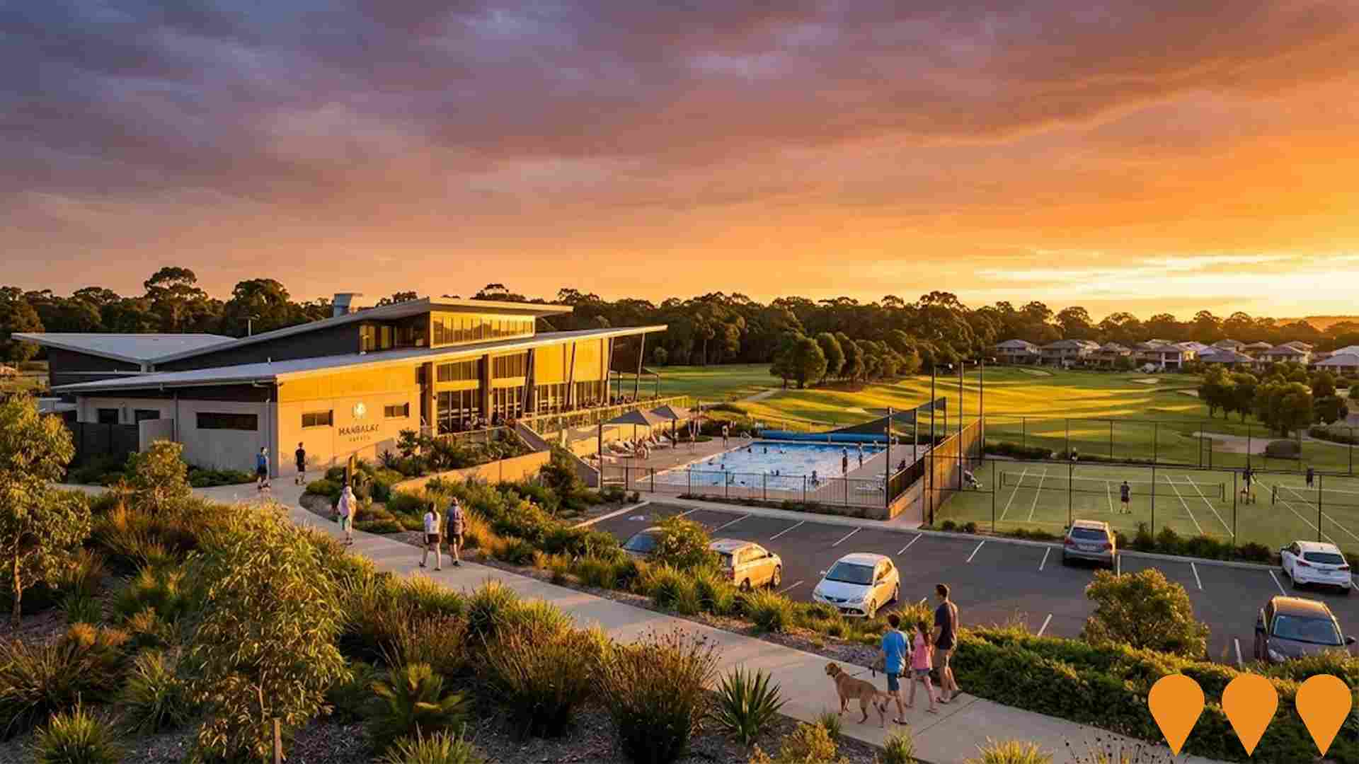
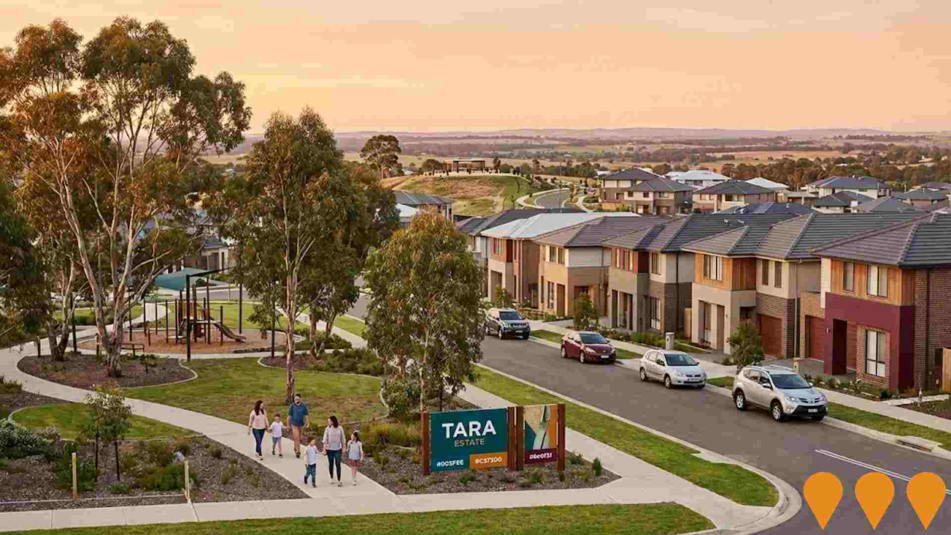
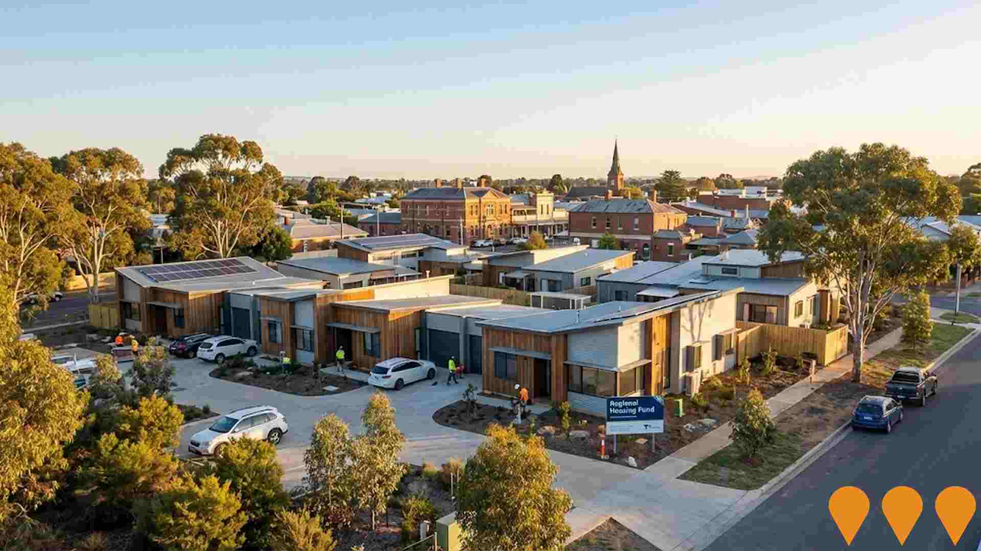
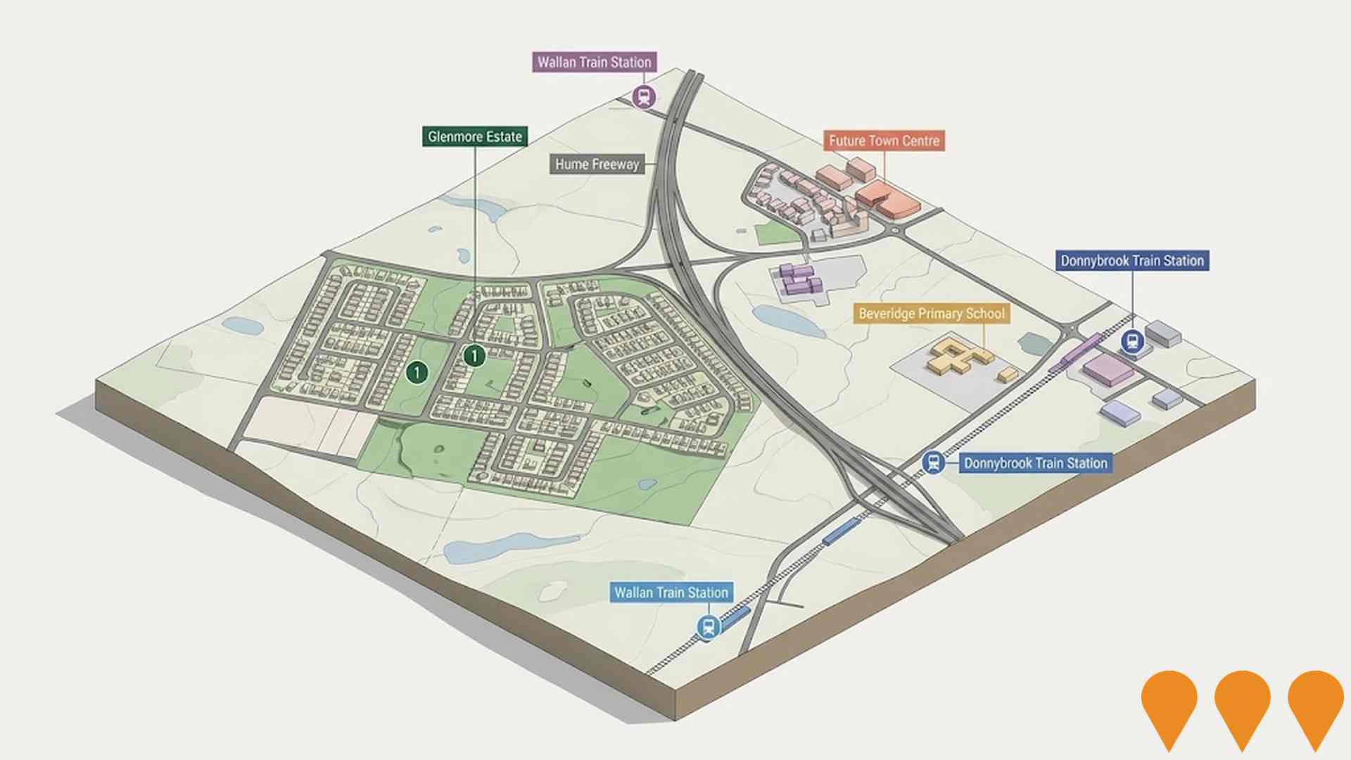
Changes to local infrastructure significantly influence an area's performance. AreaSearch has identified 82 projects likely to impact the area. Notable projects include Northern Private Hospital Epping, Peppercorn Hill Estate, Regional Housing Fund Projects, and Matilda Donnybrook. Below is a list detailing those most relevant.
Professional plan users can use the search below to filter and access additional projects.
INFRASTRUCTURE SEARCH
 Denotes AI-based impression for illustrative purposes only, not to be taken as definitive under any circumstances. Please follow links and conduct other investigations from the project's source for actual imagery. Developers and project owners wishing us to use original imagery please Contact Us and we will do so.
Frequently Asked Questions - Infrastructure
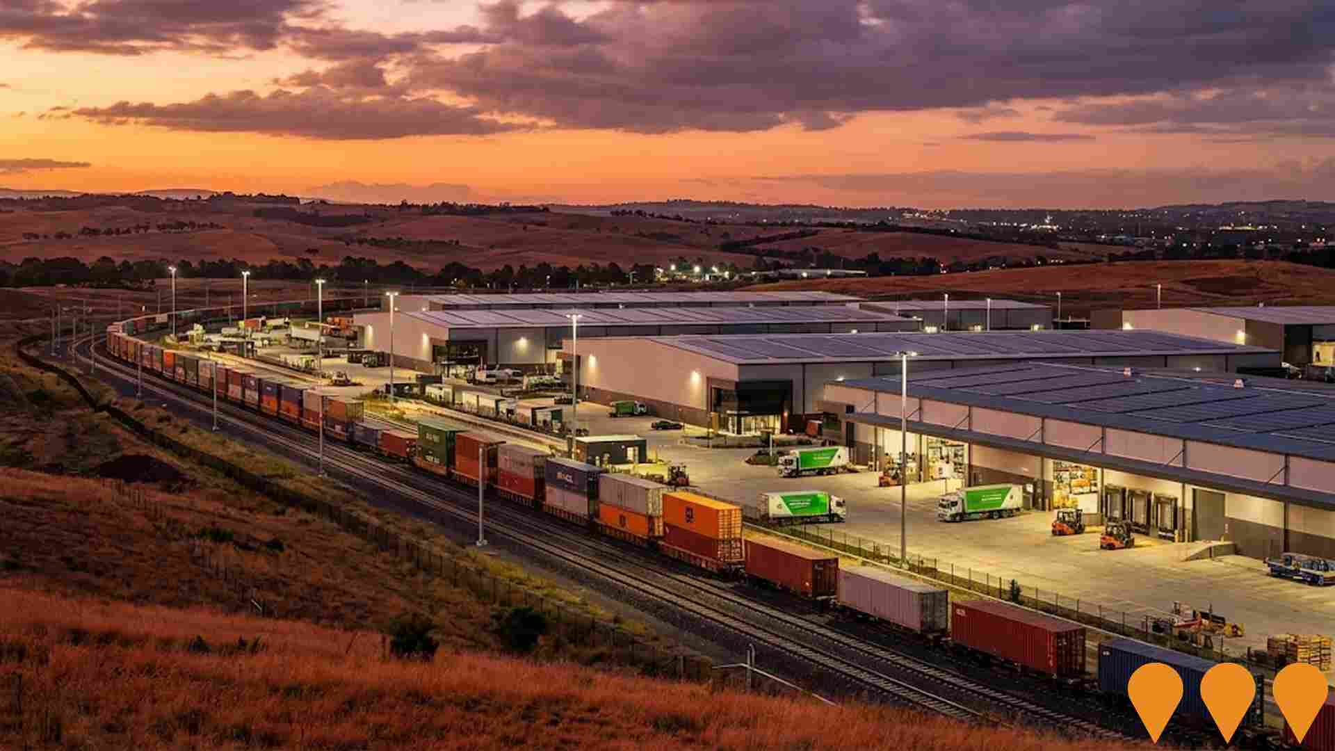
Beveridge Intermodal Precinct
Australia's largest planned intermodal freight precinct on a 1,100-hectare site (approx. 600 ha developable) in Melbourne's north, developed by National Intermodal Corporation. Located on the Inland Rail corridor, designed for double-stacked 1,800 m trains with open-access operations. Stage 1A (initial rail terminal) and associated infrastructure received final planning approval in September 2025. Early works commenced late 2025, with main construction scheduled to start in 2026. Full Stage 1 capacity approximately 500,000 TEU per annum, with ultimate capacity exceeding 1 million TEU. Includes up to 850,000 sqm of warehousing, automation, electrification and renewable energy integration. Expected to create up to 20,000 direct and indirect jobs when fully operational.
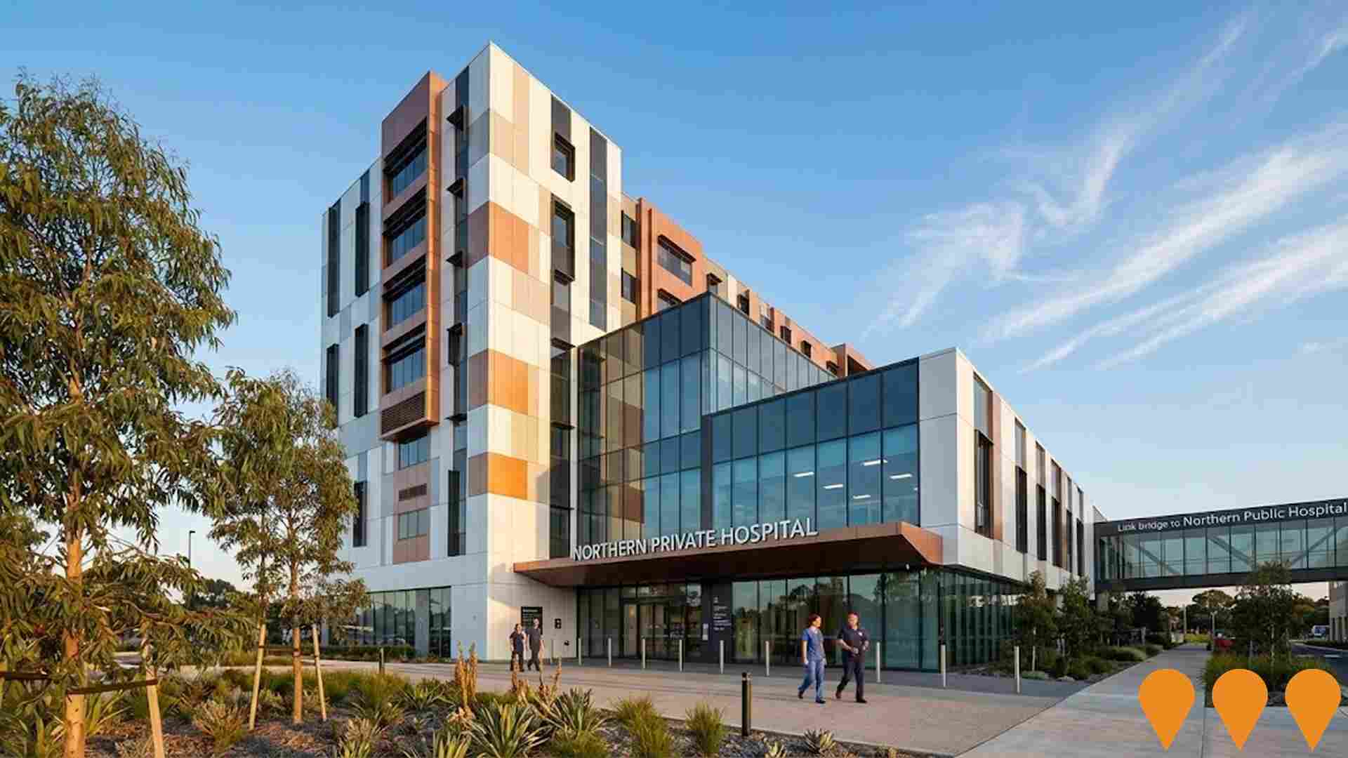
Northern Private Hospital Epping
$133 million private surgical and medical hospital operated by Ramsay Health Care. Stage 1 completed September 2023, opened February 2024 with 70 beds, 4 operating theatres, cardiac catheterisation laboratory, day chemotherapy unit, sleep study unit, on-site pharmacy, pathology and radiology. Co-located with Northern Public Hospital via bridge link. Stage 2 planned for 2027 adding 36 overnight beds and 2 operating theatres. Stage 3 proposed for 2030-2032 adding 12-space Emergency Department, 2 theatres, 1 cath lab, 8-bed ICU, 3 CCU, and 100 medical/surgical beds.
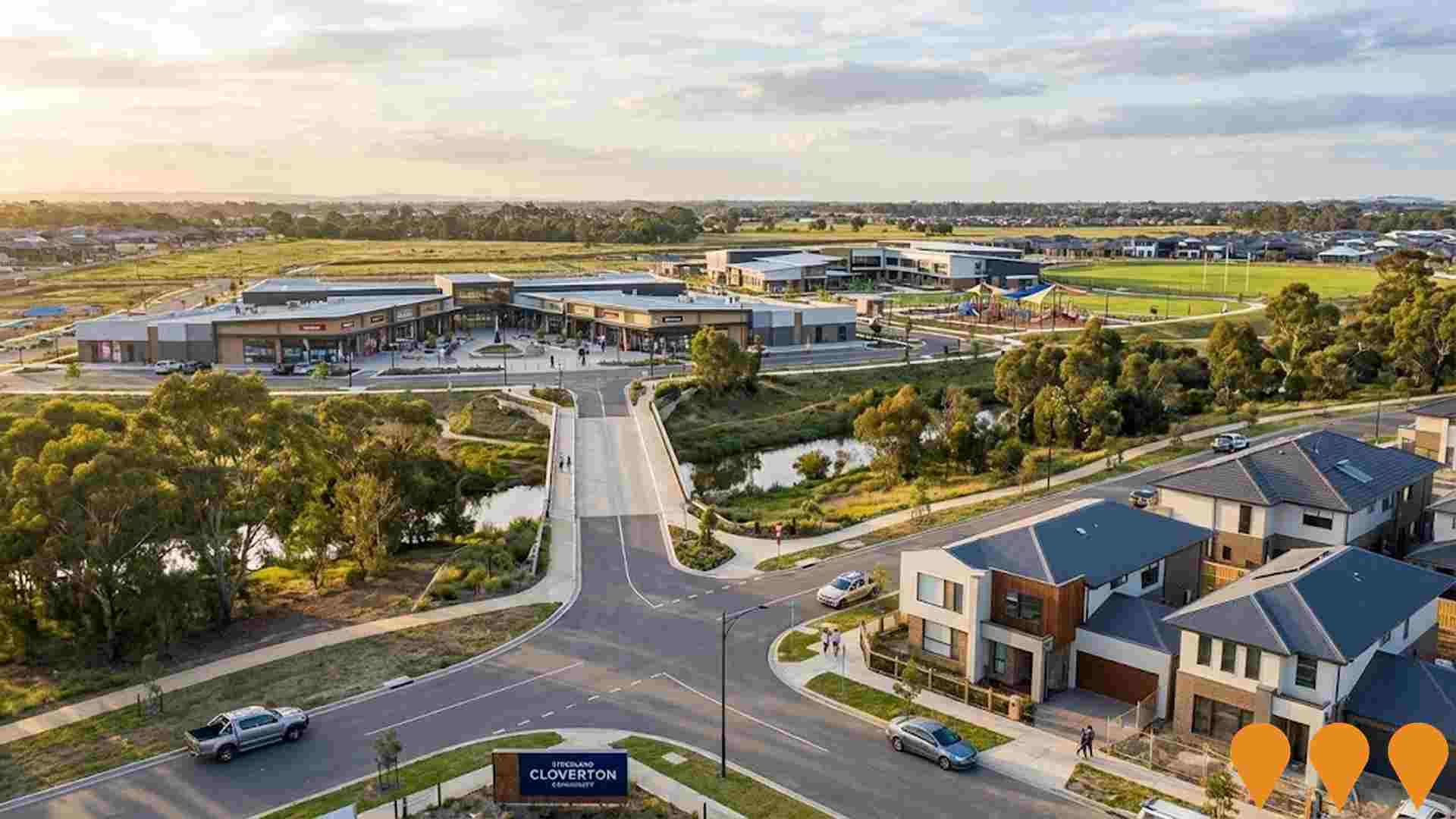
Stockland Cloverton
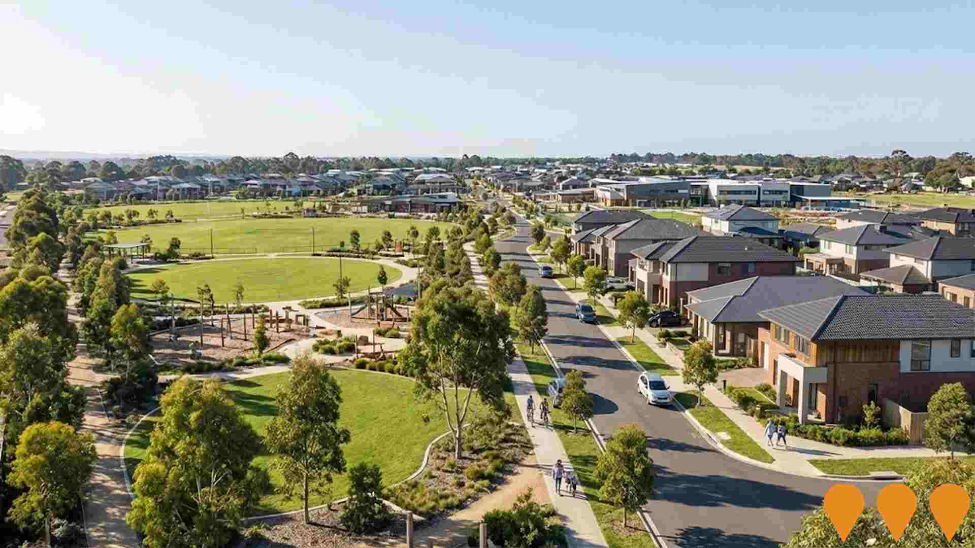
Victoria's largest masterplanned community by Stockland, spanning 1,141 hectares in Kalkallo. Set to deliver approximately 11,000 homes for 30,000 residents across multiple villages with diverse housing options. Features include Kallo Town Centre (Metropolitan Activity Centre under planning), multiple schools (Gilgai Plains Primary, Banum Warrik Primary, Hume Anglican Grammar), early learning centres, Kalkallo Recreation Reserve, over 80 hectares of conservation land and open space along Merri Creek, extensive parks and walking/cycling paths, Wilam Wiinj Bridge (opened 2024), access to Donnybrook Train Station and a planned future station within the precinct.
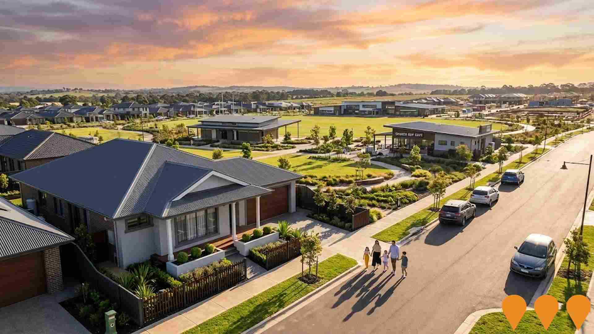
Olivine by Mirvac
A 465-hectare award-winning masterplanned community offering over 4,500 house and land lots with premium amenity including Olivine Place community hub, Shared Cup Cafe, Olivine Recreation Reserve with sports pavilion, Hume Anglican Grammar school campus, Donnybrook Primary School, and future town centre with two supermarkets and 20 specialty shops. Home to 1,600 residents and growing, with completion expected by 2037 housing approximately 11,000 residents.
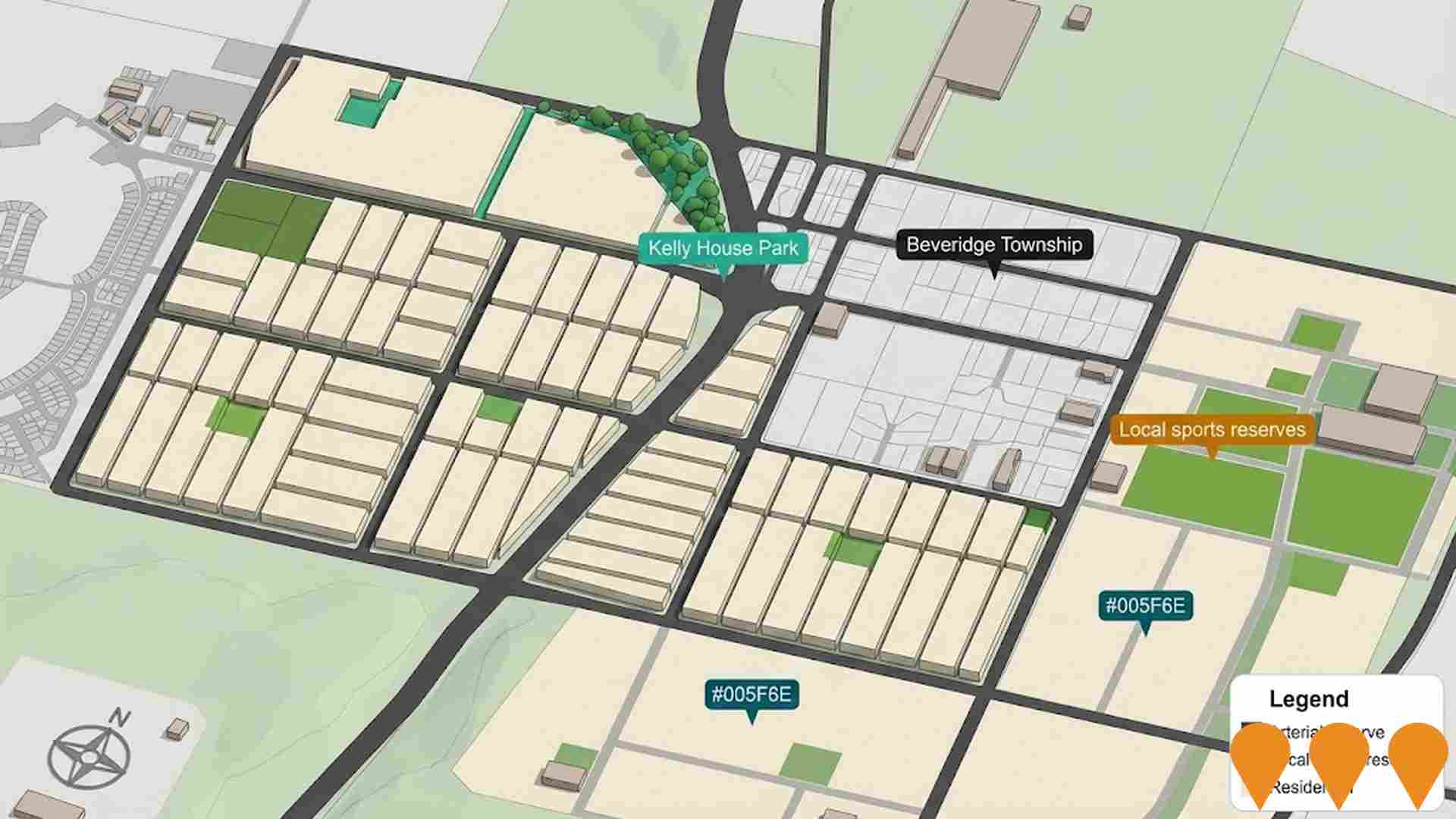
Beveridge Central Precinct Structure Plan
A new residential suburb accommodating 3,400 homes across 292 hectares. Includes three local convenience centres, sports reserves, and heritage trail around Kelly House Park. Infrastructure contributions of $95 million planned.
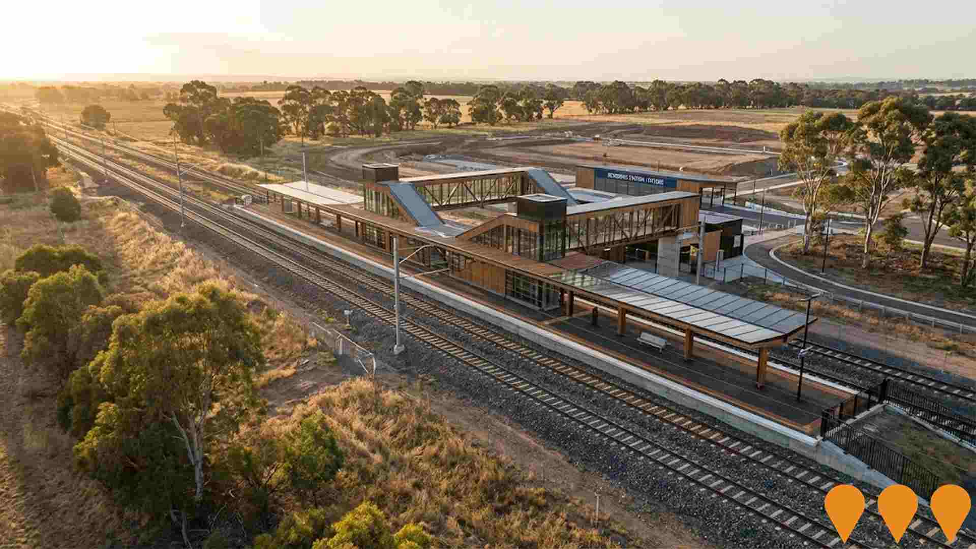
Future Beveridge Train Station
Proposed passenger rail station to serve Beveridge and nearby growth areas. The project is being advocated by local and state representatives, with planning and related corridor studies occurring in the broader Beveridge area. No committed delivery timeline or funding for a station has been announced.
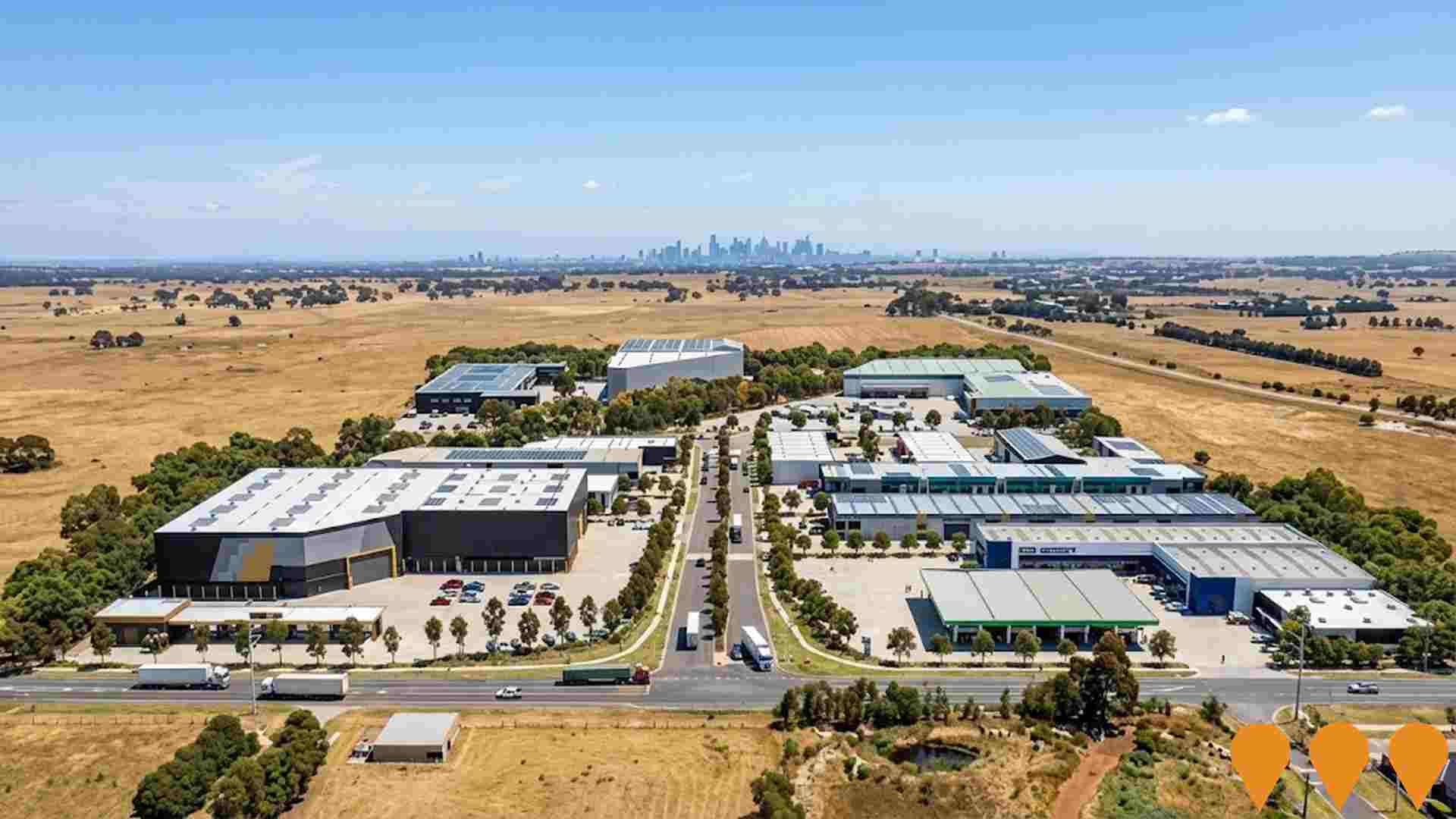
DB910 Business Park
A 10.89 hectare permit-approved business park development offering lots ranging from 3,650-6,132 square metres for industrial and commercial uses including logistics, warehousing, fuel, convenience retail, medical facilities, childcare, and self-storage. Located in the Shenstone Park Precinct Structure Plan area with direct access to the Hume Freeway and proximity to the future Beveridge Intermodal Terminal. The subdivision features a major new intersection with Donnybrook Road and benefits from planned road widening works. Settlement expected Q1 2026.
Greater Beveridge Community Centre Expansion
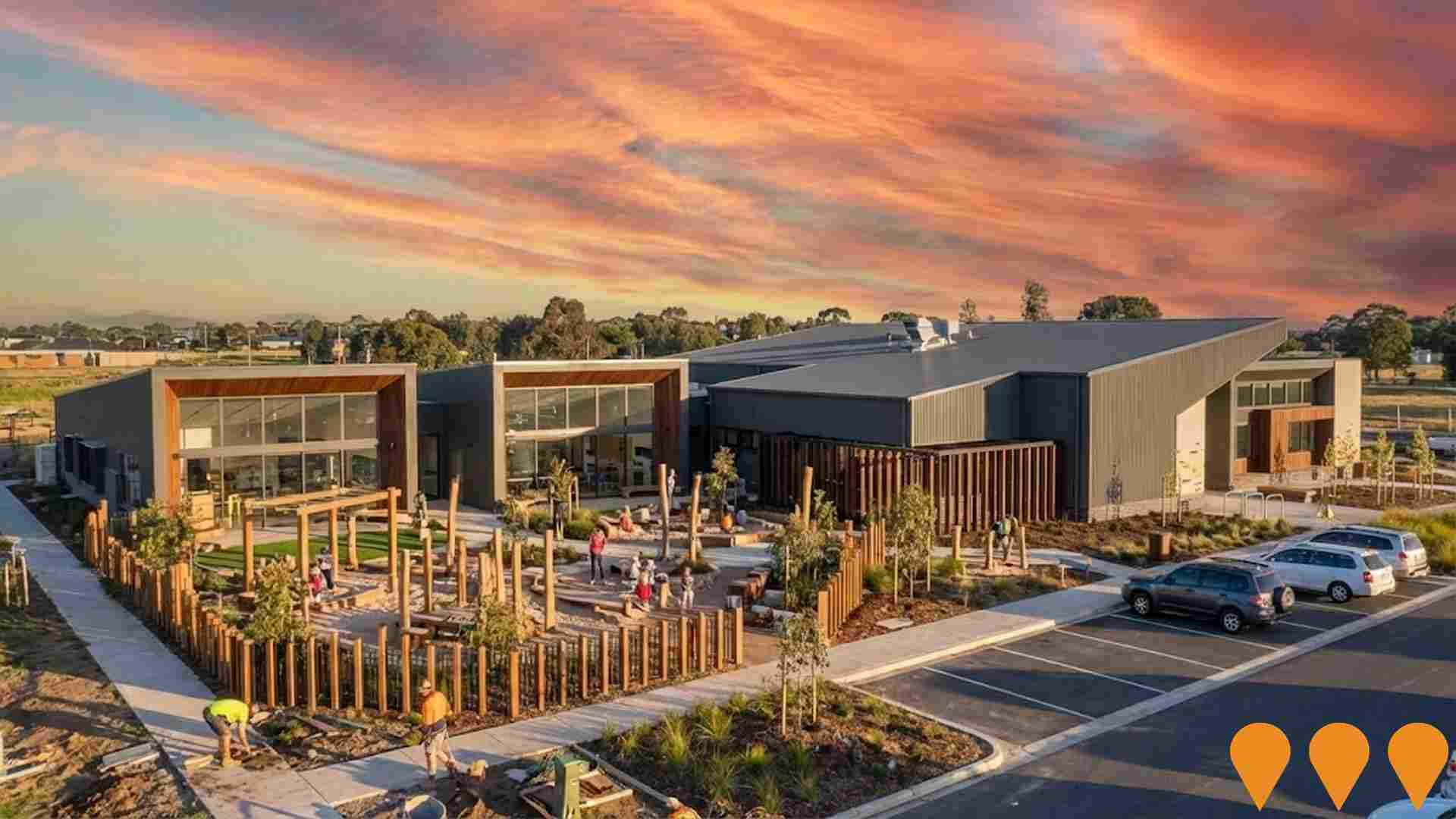
Expansion of the existing Greater Beveridge Community Centre to add two additional kindergarten rooms, minor outdoor play space expansion and landscaping to increase local early years capacity.
Employment
Whittlesea has seen below average employment performance when compared to national benchmarks
Whittlesea has a skilled workforce with the construction sector prominently represented. The unemployment rate was 4.8% in September 2025, with an estimated employment growth of 0.9% over the past year.
As of that date, 7,931 residents were employed while the unemployment rate was 0.1% higher than Greater Melbourne's rate of 4.7%. Workforce participation was lower at 61.0%, compared to Greater Melbourne's 64.1%. Key industries for employment among residents are construction, health care & social assistance, and education & training. Construction is particularly specialized with an employment share of 2.0 times the regional level.
Conversely, professional & technical services employ only 4.5% of local workers, below Greater Melbourne's 10.1%. Employment opportunities locally appear limited based on Census data comparisons. Between September 2024 and September 2025, employment levels increased by 0.9%, labour force grew by 1.9%, leading to a 1.0 percentage point rise in unemployment rate. In contrast, Greater Melbourne saw employment growth of 3.0% and labour force growth of 3.3%, with a smaller increase in unemployment rate. State-level data from 25-Nov-25 shows Victoria's employment grew by 1.13% year-on-year, adding 41,950 jobs, with an unemployment rate of 4.7%. Nationally, the unemployment rate was 4.3%. Jobs and Skills Australia forecasts national employment growth at 6.6% over five years and 13.7% over ten years. Applying these projections to Whittlesea's employment mix suggests local employment should increase by 6.4% over five years and 13.2% over ten years, assuming constant population projections for illustrative purposes.
Frequently Asked Questions - Employment
Income
Income levels align closely with national averages, indicating typical economic conditions for Australian communities according to AreaSearch analysis
According to AreaSearch's aggregation of the latest postcode level ATO data released for financial year 2022, Whittlesea SA2 had a median income among taxpayers of $50,296. The average income stood at $61,778. This is below the national average and compares to levels of $54,892 and $73,761 across Greater Melbourne respectively. Based on Wage Price Index growth of 12.16% since financial year 2022, current estimates would be approximately $56,412 (median) and $69,290 (average) as of September 2025. From the 2021 Census, household, family and personal incomes in Whittlesea cluster around the 50th percentile nationally. Distribution data shows the $1,500 - 2,999 bracket dominates with 35.7% of residents (7,543 people). High housing costs consume 15.7% of income, though strong earnings still place disposable income at the 57th percentile and the area's SEIFA income ranking places it in the 5th decile.
Frequently Asked Questions - Income
Housing
Whittlesea is characterized by a predominantly suburban housing profile, with above-average rates of outright home ownership
Whittlesea's dwelling structure, as per the latest Census, consists of 91.8% houses and 8.1% other dwellings (semi-detached, apartments, 'other' dwellings). This compares to Melbourne metro's 87.2% houses and 12.8% other dwellings. Home ownership in Whittlesea stands at 33.6%, with mortgaged dwellings at 50.1% and rented ones at 16.2%. The median monthly mortgage repayment is $2,000, higher than Melbourne metro's $1,900 and the Australian average of $1,863. The median weekly rent in Whittlesea is $375, comparable to Melbourne metro's $371 and the national figure of $375.
Frequently Asked Questions - Housing
Household Composition
Whittlesea features high concentrations of family households, with a lower-than-average median household size
Family households account for 78.6% of all households, including 38.8% couples with children, 26.9% couples without children, and 11.9% single parent families. Non-family households constitute the remaining 21.4%, with lone person households at 19.7% and group households comprising 1.7%. The median household size is 2.8 people, which is smaller than the Greater Melbourne average of 2.9.
Frequently Asked Questions - Households
Local Schools & Education
Educational attainment in Whittlesea aligns closely with national averages, showing typical qualification patterns and performance metrics
The area's university qualification rate is 20.8%, significantly lower than Greater Melbourne's average of 37.0%. Bachelor degrees are the most common at 13.8%, followed by postgraduate qualifications (4.5%) and graduate diplomas (2.5%). Vocational credentials are prevalent, with 41.2% of residents aged 15+ holding them, including advanced diplomas (12.2%) and certificates (29.0%). Educational participation is high, with 30.9% of residents currently enrolled in formal education, including primary (11.2%), secondary (8.7%), and tertiary (3.8%) levels.
Educational participation is notably high, with 30.9% of residents currently enrolled in formal education. This includes 11.2% in primary education, 8.7% in secondary education, and 3.8% pursuing tertiary education.
Frequently Asked Questions - Education
Schools Detail
Nearby Services & Amenities
Transport
Transport servicing is good compared to other areas nationally based on assessment of service frequency, route connectivity and accessibility
Whittlesea has 64 active public transport stops, offering a mix of train and bus services. These stops are served by 14 different routes, collectively facilitating 6,217 weekly passenger trips. Transport accessibility is considered limited, with residents usually located 610 meters from the nearest stop.
Service frequency averages 888 trips per day across all routes, equating to approximately 97 weekly trips per individual stop.
Frequently Asked Questions - Transport
Transport Stops Detail
Health
Whittlesea's residents are relatively healthy in comparison to broader Australia with the level of common health conditions among the general population somewhat typical, though higher than the nation's average among older cohorts
Whittlesea's health metrics are close to national benchmarks.
Common health conditions among its general population are somewhat typical but higher than the nation's average among older cohorts. Approximately 51% of Whittlesea's total population (~10,691 people) has private health cover, which is relatively low. The most common medical conditions in the area are arthritis and asthma, impacting 8.6 and 8.3% of residents respectively. 68.6% of residents declared themselves completely clear of medical ailments compared to 74.0% across Greater Melbourne. Whittlesea has 12.0% of residents aged 65 and over (2,541 people), which is lower than the 13.2% in Greater Melbourne. Health outcomes among seniors require more attention than those of the broader population.
Frequently Asked Questions - Health
Cultural Diversity
The level of cultural diversity witnessed in Whittlesea was found to be slightly above average when compared nationally for a number of language and cultural background related metrics
Whittlesea's population shows above-average cultural diversity, with 20.2% born overseas and 17.8% speaking languages other than English at home. Christianity is the dominant religion in Whittlesea, comprising 48.5%. The 'Other' religious category is proportionally similar to Greater Melbourne (4.4%).
In terms of ancestry, Australians make up 26.7%, significantly higher than the regional average of 17.3%. English ancestry also exceeds the regional average at 26.1% compared to 15.5%. However, 'Other' ancestry is lower in Whittlesea at 8.0% versus a regional average of 17.4%. Notable disparities exist for Macedonian (1.4% vs 4.6%), Italian (7.0% vs 9.6%), and Maltese (1.4% vs 1.5%) ethnic groups.
Frequently Asked Questions - Diversity
Age
Whittlesea's population is slightly younger than the national pattern
Whittlesea's median age was 35 years as of 2021, which is slightly younger than Greater Melbourne's 37 and somewhat younger than Australia's national average of 38 years. The 5-14 age group constituted 14.9% of Whittlesea's population in 2021, higher than Greater Melbourne's percentage. Conversely, the 55-64 cohort made up 8.6% of Whittlesea's population, lower than Greater Melbourne's figure. Between 2016 and 2021, Whittlesea's median age decreased by 2.1 years to 35 from its previous level of 37. During this period, the 35-44 age group grew from 12.9% to 17.6%, while the 25-34 cohort increased from 14.4% to 16.2%. Meanwhile, the 65-74 cohort declined from 9.5% to 6.4%, and the 45-54 group dropped from 13.1% to 10.8%. Population forecasts for Whittlesea in 2041 suggest significant demographic changes. The 35-44 age group is projected to grow by 126%, adding 4,703 residents to reach a total of 8,433.
