Nhill Region
Statistical Area - sa2

Chart Color Schemes
Loading map data ...
0 People

est. as @ -- *

ABS ERP | -- people | --

2021 Census | -- people

Land Area
--
Land Area
Population Density
--
Density
Unemployment Rate
--
Unemployment
Development
--
Resi Approvals
Get My Report

Sales Activity

Table Chart PROFILE FAQ

Curious about local property values? Filter the chart to assess the volume and appreciation (including resales) trends and regional comparisons, or scroll to the map below view this information at an individual property level.

House icon
Median Price
$0
Key icon
1yr Sales Volume
0
Find a Recent Sale
Type Specified (1) | Limit 50

Sales Detail

Population

Table Chart PROFILE FAQ

Nhill Region has shown very soft population growth performance across periods assessed by AreaSearch

Nhill Region's population was around 6,775 as of Aug 2025. This reflects a decrease since the 2021 Census, which reported a population of 6,956 people. The change is inferred from ABS estimated resident population of 6,725 in June 2024 and an additional 53 validated new addresses since the Census date. The region's population density was 0.60 persons per square kilometer as of Aug 2025. Nhill Region's population decline of -2.6% since census was within 2.0 percentage points of the SA3 area (-0.6%). Overseas migration primarily drove population growth in recent periods.

AreaSearch adopted ABS/Geoscience Australia projections for each SA2 area, released in 2024 with 2022 as the base year. For areas not covered, AreaSearch utilised VIC State Government's Regional/LGA projections from 2023 with adjustments made employing a method of weighted aggregation of population growth from LGA to SA2 levels. Growth rates by age group were applied across all areas for years 2032 to 2041. Based on latest population numbers, the area is expected to expand by 125 persons to 2041, recording a gain of 1.1% in total over the 17 years.

Frequently Asked Questions - Population

What is the latest population estimate for Nhill Region?
Total population for Nhill Region was estimated to be approximately 6,775 as at Aug 25. This is based upon an estimated resident population of 6,725 from the ABS up to June 2024.
How has the population in Nhill Region changed since 2021?
Nhill Region has lost approximately 181 people and shown a 2.60% decrease from the 6,956 people recorded at the 2021 Census period.
What is the population density in Nhill Region?
The population density in Nhill Region is estimated at 0 persons per square kilometer based on the latest population estimate.
How much has the population grown over the past 10 years?
Over the past 10 years, the population has shown a compound annual growth rate of -0.5% per annum.
What are the main drivers of population growth in the area?
Population growth in Nhill Region is driven by: Overseas migration (100.0%), Natural increase (0.0%), Interstate migration (0.0%). The primary driver is Overseas migration, contributing 100.0% of overall population gains.

Development

Table Chart PROFILE FAQ

AreaSearch assessment of residential development drivers sees a low level of activity in Nhill Region, placing the area among the bottom 25% of areas assessed nationally

Nhill Region has seen approximately 14 new homes approved annually. Development approval data is produced by the ABS on a financial year basis, totalling 74 approvals across the past five financial years from FY21 to FY25, with one approval so far in FY26. The population decline in recent years has resulted in adequate development activity relative to population size, benefiting buyers due to increased choices. New properties are constructed at an average expected construction cost value of $570,000, which is higher than regional norms, reflecting quality-focused development.

This financial year has seen $11.8 million in commercial development approvals, indicating moderate levels of commercial development. Compared to the Rest of Vic., Nhill Region records around 62% of building activity per person and ranks among the 38th percentile of areas assessed nationally, offering limited choices for buyers but supporting demand for existing homes. This lower-than-average national activity reflects the area's maturity and possible planning constraints. New building activity consists of 83.0% standalone homes and 17.0% medium and high-density housing, maintaining the region's traditional low density character appealing to those seeking space in family homes.

The estimated count of 440 people per dwelling approval reflects its quiet development environment. Looking ahead, Nhill Region is projected to grow by 75 residents by 2041. With current construction levels, housing supply should meet demand adequately, creating favourable conditions for buyers and potentially enabling growth that exceeds current forecasts.

Frequently Asked Questions - Development

How many dwelling approvals have occurred in the Nhill Region area recently?
Dwelling approval activity in the Nhill Region area has seen 31 residential approvals over the past two financial years, based on AreaSearch's SA2 aggregation method. Nhill Region's current population of 6,775 has been supported by 14 approvals on average over recent years.
How does Nhill Region's development activity compare to the broader region?
Nhill Region has seen 0.22 approvals per 100 people in recent years, compared to 0.83 approvals in the broader region. This means that one dwelling has been approved for every 440 people in Nhill Region, compared to one for every 155 in the broader region.
Is the Nhill Region area keeping up with housing demand?
With the population expected to increase by 75 people by 2041, around 38 new dwellings will be necessary. Recent approval levels appear more than sufficient to meet these forecasts, considering the census average of 2.0 persons per dwelling. This suggests that population growth may exceed trend projections in the coming years, supported by a robust housing supply.
What has been the trend in development approvals over the past five years?
Looking at development activity over the past five years, Nhill Region's approval levels have been below the yearly average of 14, indicating a recent decline in approval activity.
How many dwellings will be needed to accommodate future population growth?
The population in Nhill Region is expected to grow by 75 people by 2041, necessitating approximately 38 new dwellings. This calculation is based on the current census average of 2.0 persons per dwelling in the area.
How does recent development compare to population growth in Nhill Region?
Over the past five years, Nhill Region has seen 74 residential approvals while population has remained stable or declined, indicating potential market oversupply.
Are there opportunities for residential developers in Nhill Region?
With dwelling approval activity running at an average of 14 approvals per year and a population of 6,775, the market appears to be adequately supplied relative to projected housing demand in recent years, suggesting that developers should have a longer-term approach when considering new projects. With the population expected to increase by 75 people by 2041, around 38 new dwellings will be necessary. Recent approval levels appear more than sufficient to meet these forecasts, considering the census average of 2.0 persons per dwelling. This suggests that population growth may exceed trend projections in the coming years, supported by a robust housing supply.

Infrastructure

PROFILE FAQ

Nhill Region has moderate levels of nearby infrastructure activity, ranking in the 48thth percentile nationally

Five projects identified by AreaSearch are expected to impact the region significantly. These key initiatives include Warracknabeal Energy Park, Wimmera Plains Energy Facility (twice mentioned), and Horsham SmartWater & Integrated Water Management Project. The following details those considered most relevant.

Professional plan users can use the search below to filter and access additional projects.

INFRASTRUCTURE SEARCH
All Selected

Frequently Asked Questions - Infrastructure

What are some of the major infrastructure and planning changes likely to influence Nhill Region?
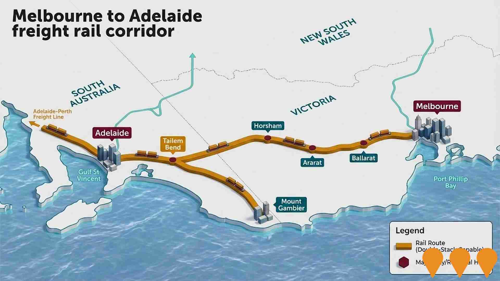
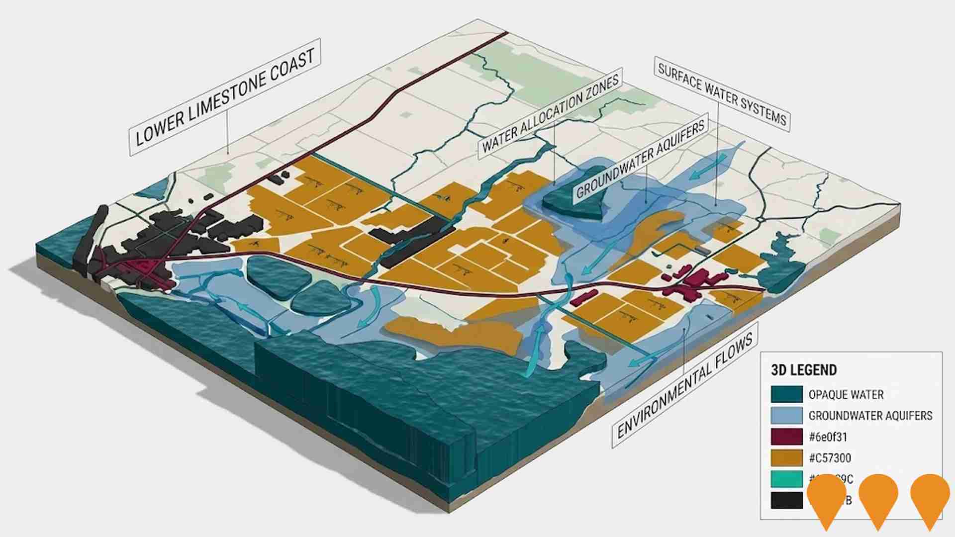
Key infrastructure and planning changes likely to influence Nhill Region include: Warracknabeal Energy Park (Under Assessment); Wimmera Plains Energy Facility (Approved); Wimmera Plains Energy Facility (Approved); Horsham SmartWater & Integrated Water Management Project (Completed); and SEC Renewable Energy Park - Horsham (Construction). These projects represent significant developments that will shape the area's future infrastructure landscape.
What types of infrastructure projects are impacting Nhill Region?
Infrastructure development impacting Nhill Region spans multiple sectors including Energy, Environmental & Disaster Management, and Transport & Logistics, among others.
What is the scale of infrastructure investment impacting Nhill Region?
While specific investment values are not publicly disclosed for all projects impacting Nhill Region, the area shows active development across multiple infrastructure categories within the broader region.
How does Nhill Region's infrastructure development compare to other areas?
Nhill Region shows moderate infrastructure development relative to national averages, with opportunities for future growth and investment.
Victorian Murray Floodplain Restoration Project
Category: Environmental & Disaster Management
Stage: Planning | Est. Comp: 2028
Source / Links: Link 1   Link 2  

Major environmental restoration project to restore floodplains along the Murray River by building infrastructure including flow regulators, channels and containment banks to deliver environmental water to nine high-value floodplain sites. The project aims to return natural flooding regimes to 14,000 hectares of ecologically significant floodplains, supporting native plants, animals, and ecological resilience against dry conditions without impacting regional communities.

Project Image

Wimmera Plains Energy Facility
Category: Energy
Stage: Approved | Est. Comp: 2027
Source / Links: Link 1   Link 2  

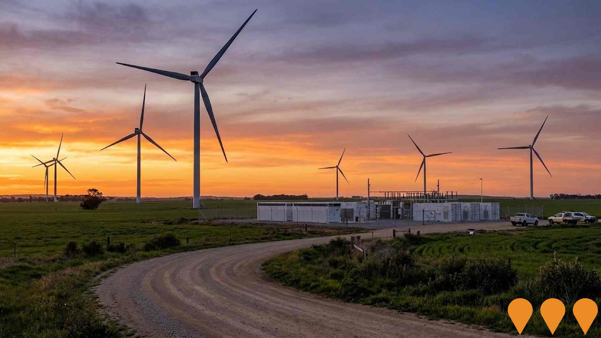
A 312MW wind farm with up to 52 wind turbines (247m blade-tip height) plus 100MW/400MWh battery energy storage system. Uses Vestas V162-5.6 MW turbines to generate clean renewable energy for over 202,000 homes, removing 1.2 million tonnes of greenhouse gases annually. Federal approval received August 2024.

Project Image

Victorian Renewable Energy Zones
Category: Energy
Stage: Planning | Est. Comp: 2040
Source / Links: Link 1   Link 2  

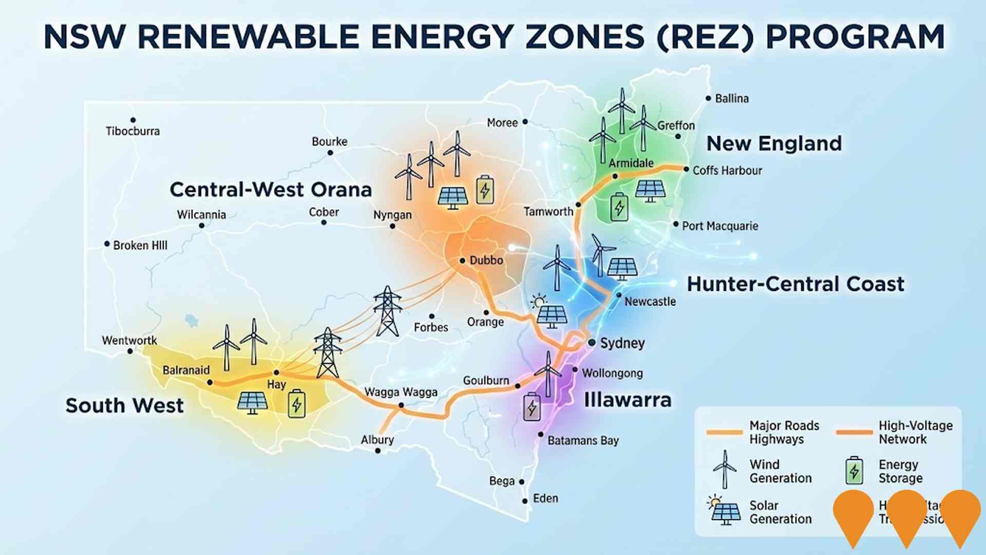
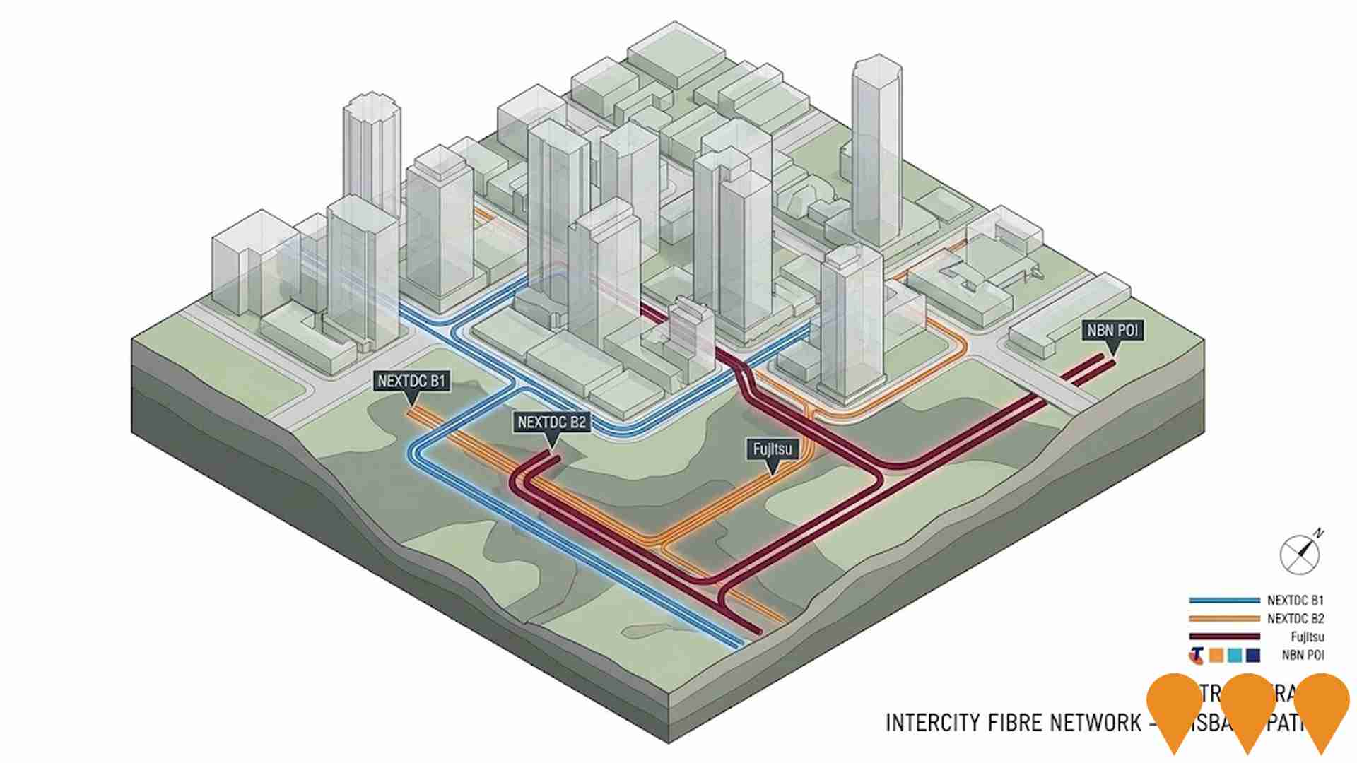
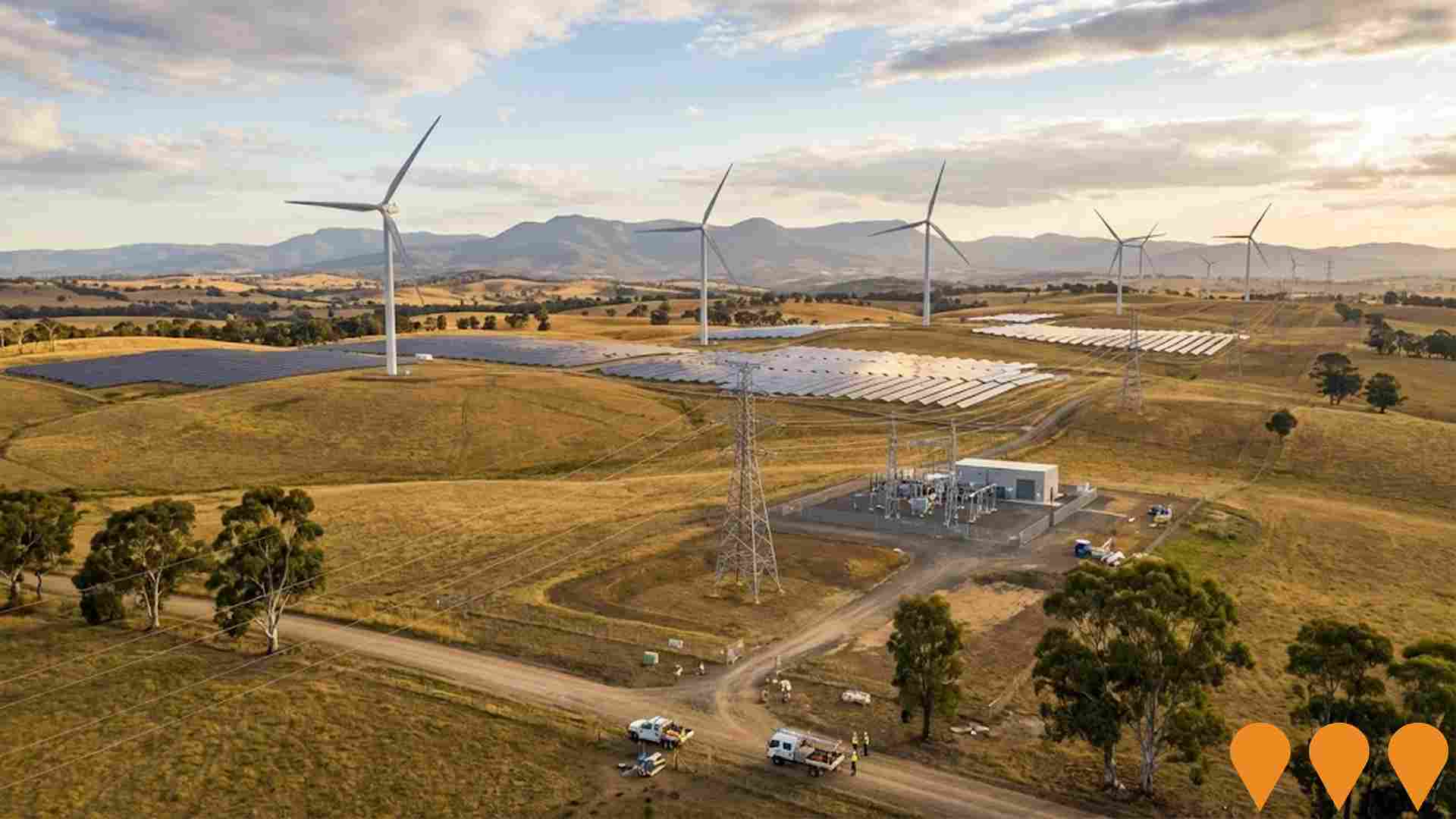
VicGrid, a Victorian Government agency, is coordinating the planning and staged declaration of six proposed onshore Renewable Energy Zones (plus a Gippsland shoreline zone to support offshore wind). The 2025 Victorian Transmission Plan identifies the indicative REZ locations, access limits and the transmission works needed to connect new wind, solar and storage while minimising impacts on communities, Traditional Owners, agriculture and the environment. Each REZ will proceed through a statutory declaration and consultation process before competitive allocation of grid access to projects.
Project Image

Horsham SmartWater & Integrated Water Management Project
Category: Environmental & Disaster Management
Stage: Completed | Est. Comp: 2025
Source / Links: Link 1   Link 2  

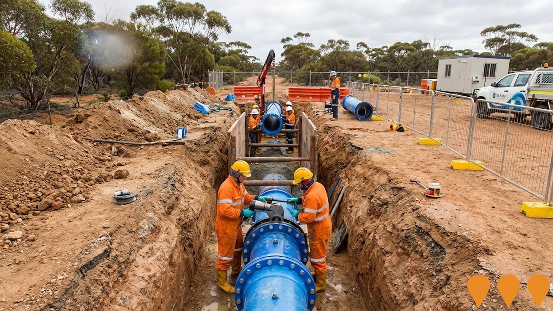
Innovative recycled water infrastructure project that supports agricultural research and provides drought-proofing for green spaces in Horsham. The completed project delivers 126 megalitres of recycled water annually through a network of pipes connecting to parks, ovals, cemetery, and racecourse, reducing reliance on drinking water for irrigation. Includes Dissolved Air Flotation treatment facility and pipeline infrastructure.

Project Image

EnergyConnect
Category: Energy
Stage: Construction | Est. Comp: 2027
Source / Links: Link 1   Link 2  

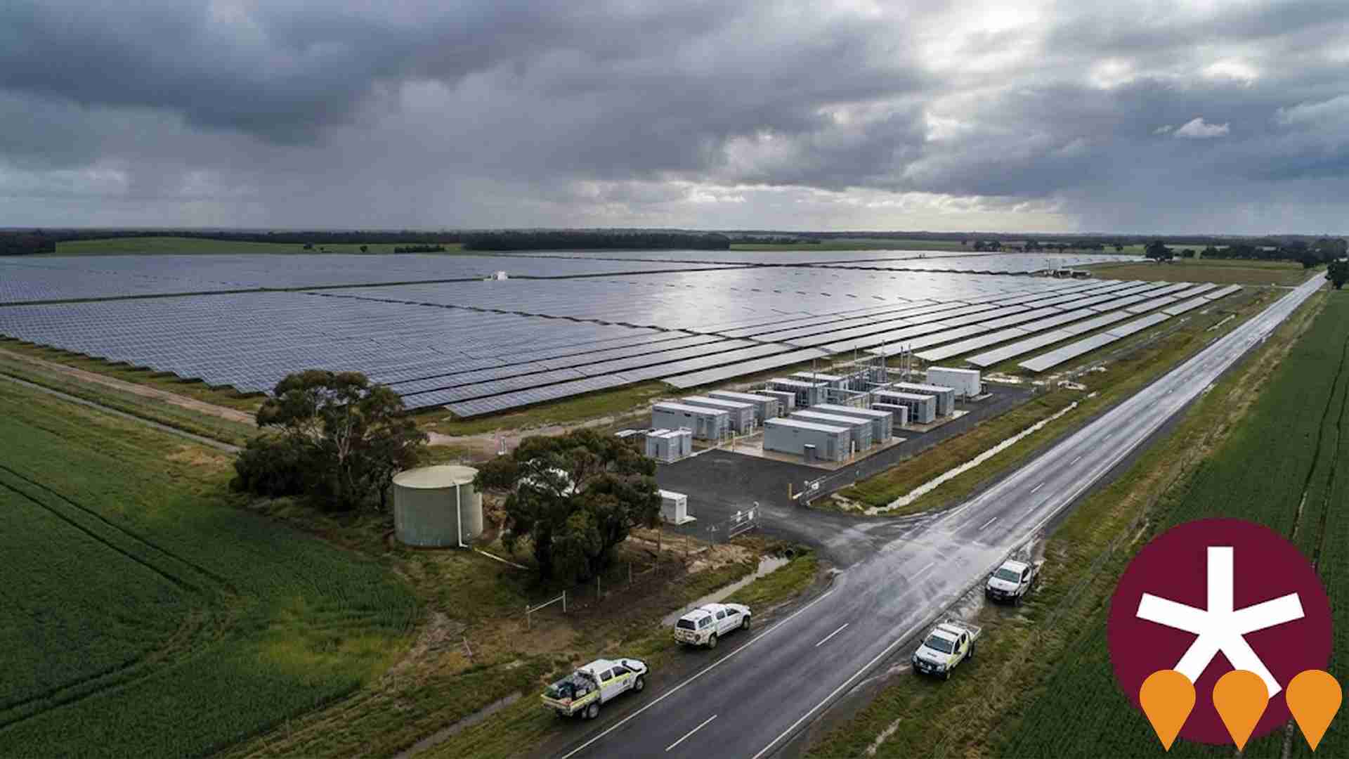
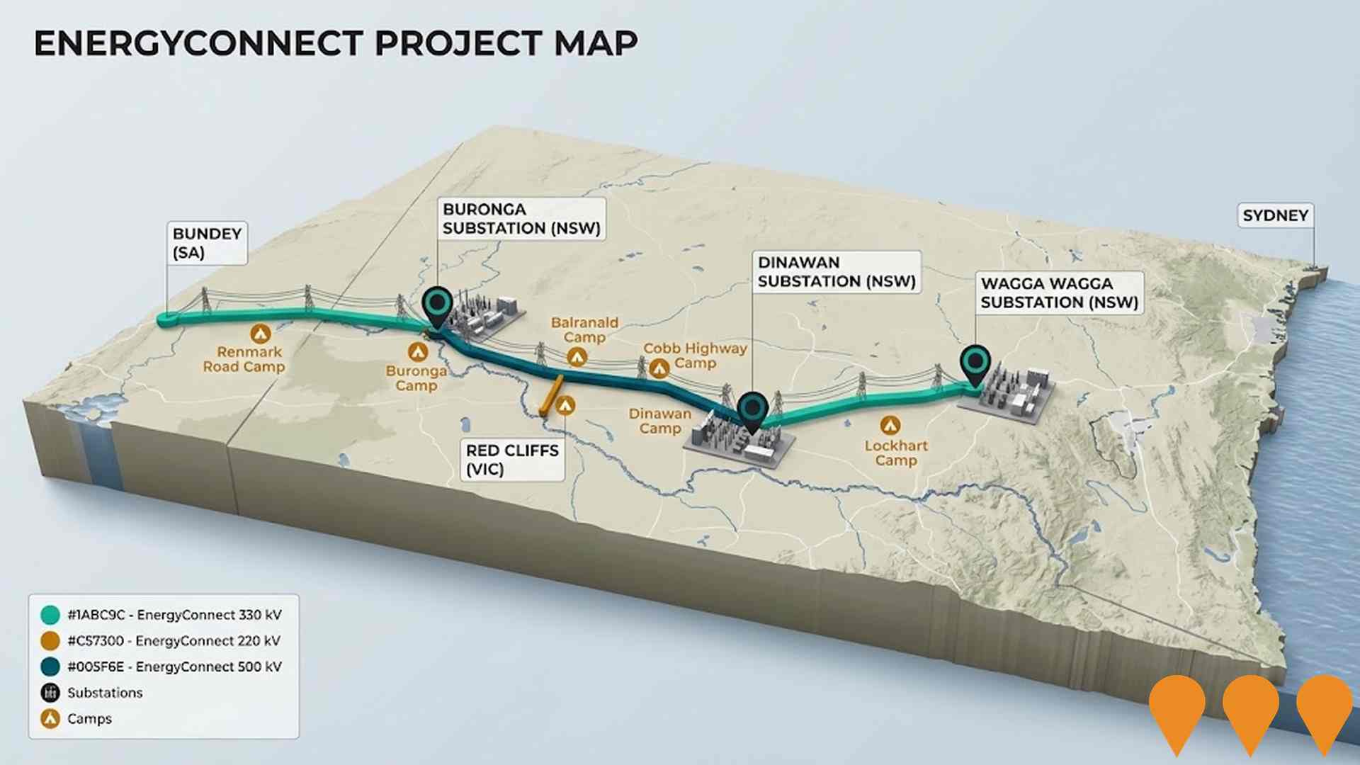
Australia's largest energy transmission project. A new ~900km interconnector linking the NSW, SA and VIC grids. NSW-West (Buronga to SA border and Red Cliffs spur) was energised in 2024-2025, connecting the three states via the expanded Buronga substation. NSW-East (Buronga-Dinawan-Wagga Wagga) is under active construction with substation upgrades at Wagga Wagga completed in June 2025 and works well advanced at Dinawan and Buronga. Full 800MW transfer capability is targeted after completion of the eastern section and inter-network testing, expected by late 2027.
Project Image

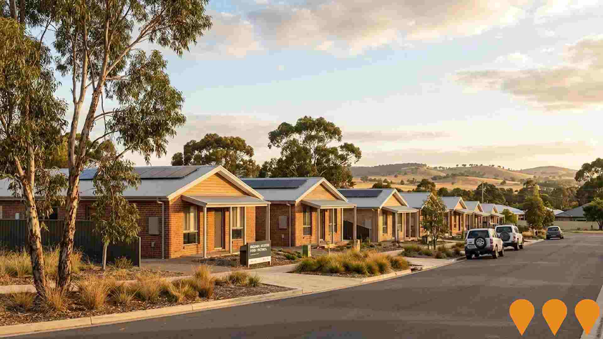
Regional Housing Fund (Victoria)
Category: Residential Development
Stage: Construction | Est. Comp: 2028
Source / Links: Link 1   Link 2  

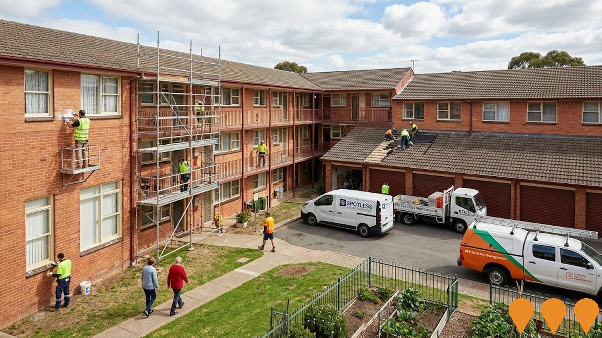
A $1 billion Homes Victoria program delivering around 1,300 new social and affordable homes across at least 30 regional and rural LGAs, using a mix of new builds, purchases in new developments, renewals and refurbishments. Delivery commenced in late 2023 with early completions recorded; overall fund completion is targeted for 2028.
Project Image

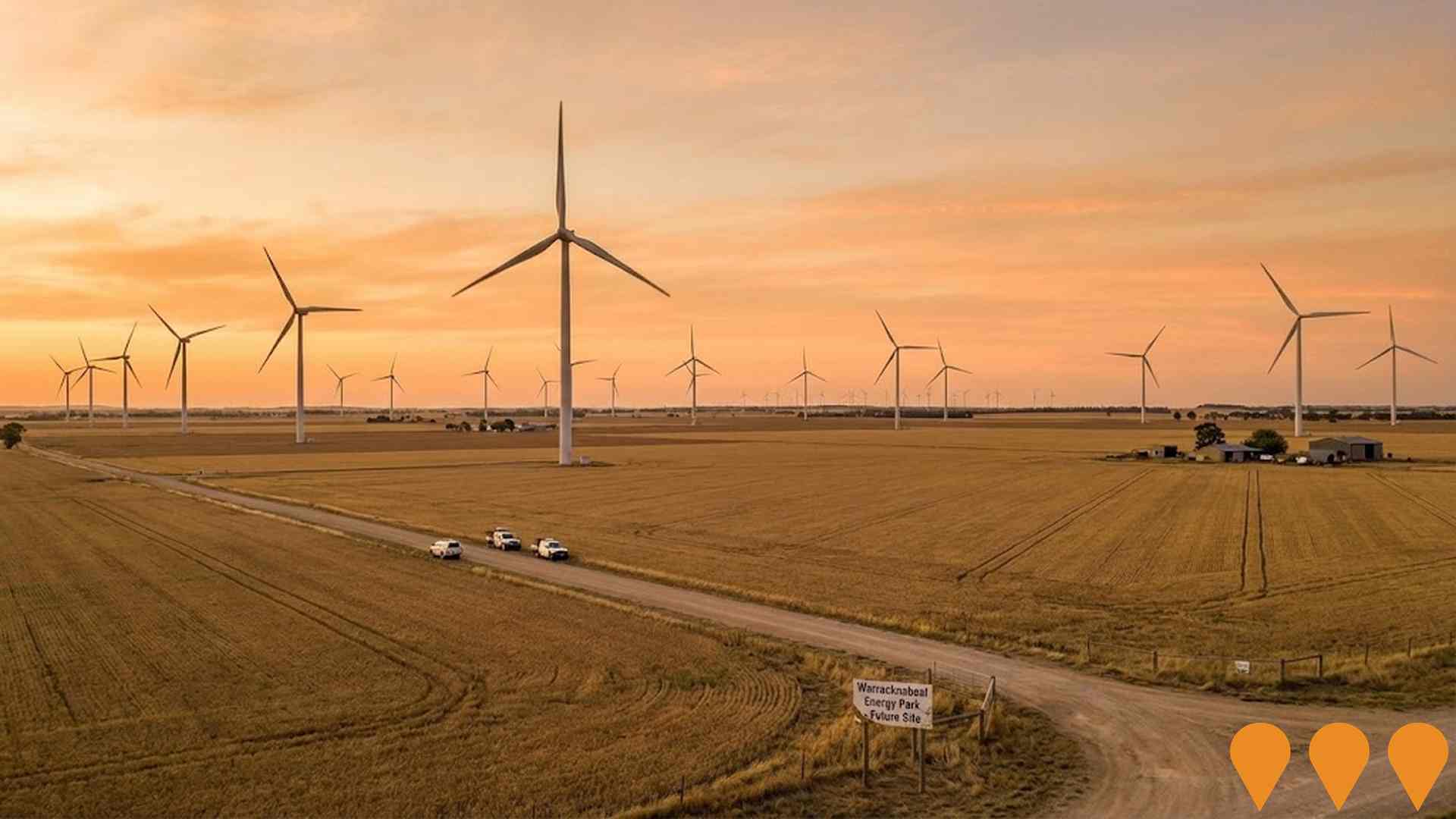
Warracknabeal Energy Park
Category: Energy
Stage: Under Assessment | Est. Comp: N/A
Source / Links: Link 1   Link 2  

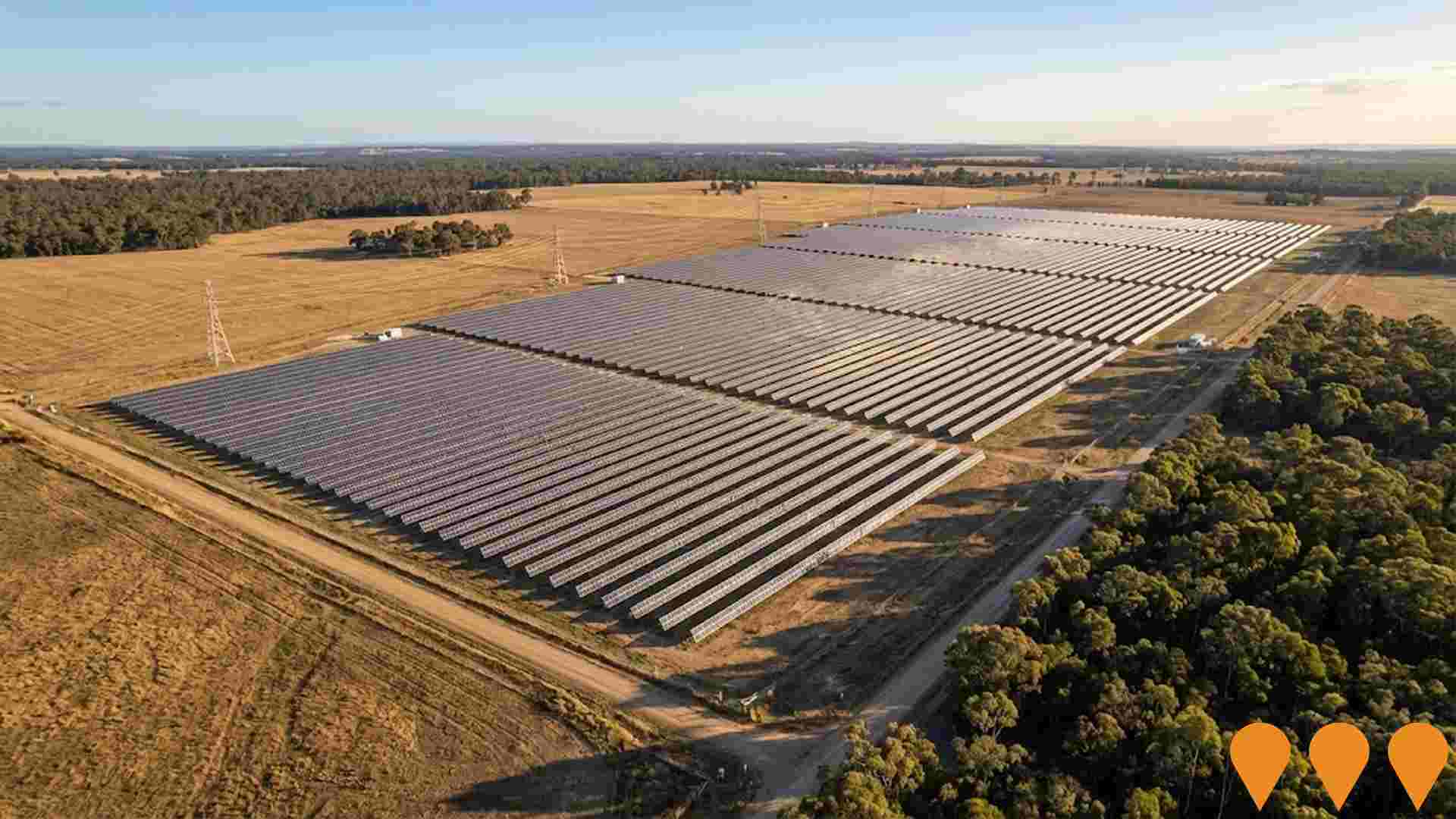
The Warracknabeal Energy Park is a proposed wind farm located on approximately 26,000 hectares of agricultural land west of Warracknabeal in the Yarriambiack Shire, Victoria. The development will consist of up to 219 turbines with an installed capacity of approximately 1,575 MW, capable of powering more than 1.2 million Victorian homes and reducing carbon dioxide emissions by approximately 4.2 million tonnes per year.
Project Image

Wimmera Plains Energy Facility
Category: Energy
Stage: Approved | Est. Comp: N/A
Source / Links: Link 1   Link 2  

The Wimmera Plains Energy Facility aims for an output of between 291MW and 416MW, connecting to western Victoria's 220kV electricity network. It includes plans for 52 wind turbines with a blade-tip height of 247m and a battery system with 100 MW/400 MWh capacity, generating enough renewable energy to power more than 202,000 homes and remove 1.2 million tons of greenhouse gases annually.

Project Image

Employment

Table Chart PROFILE FAQ

Despite maintaining a low unemployment rate of 2.8%, Nhill Region has experienced recent job losses, resulting in a below average employment performance ranking when compared nationally

Nhill Region has a balanced workforce with both white and blue collar jobs, well-represented essential services sectors, and an unemployment rate of 2.8%. As of June 2025, 3183 residents are employed, with the region's unemployment rate at 0.9% lower than Rest of Vic.'s 3.8%.

The workforce participation rate is somewhat below standard at 53.2%, compared to Rest of Vic.'s 57.4%. Dominant employment sectors include agriculture, forestry & fishing, health care & social assistance, and education & training. Agriculture, forestry & fishing is particularly specialized with an employment share 4.2 times the regional level, while construction shows lower representation at 5.6% versus the regional average of 10.4%. Many residents commute elsewhere for work based on census data.

In the year to June 2025, labour force decreased by 4.2%, employment declined by 3.3%, causing unemployment to fall by 0.8 percentage points. Rest of Vic experienced a 0.9% employment decline and a 0.4% labour force decline, with unemployment rising by 0.4%. State-level data to Sep-25 shows VIC employment grew by 1.08% year-on-year, adding 39880 jobs, with the state unemployment rate at 4.7%, compared to the national rate of 4.5%. National employment forecasts from May 2025 project a 6.6% increase over five years and 13.7% over ten years. Applying these projections to Nhill Region's employment mix suggests local growth of approximately 5.4% over five years and 12.1% over ten years, though these are simple extrapolations for illustrative purposes only and do not account for localized population projections.

Frequently Asked Questions - Employment

What is the employment situation in Nhill Region?
As of June 2025, Nhill Region has approximately 3,183 employed residents with an unemployment rate of 2.8%. This very low unemployment rate indicates a tight labour market with strong demand for workers. Employment indicators are below the national average, suggesting room for improvement, though the very low unemployment rate of 2.8% indicates the ranking primarily reflects recent job losses rather than underlying labor market weakness.
How does Nhill Region's unemployment rate compare to the broader region?
As of June 2025, the unemployment rate in Nhill Region stands at 2.8%, which is 0.9 percentage points below Rest of Vic.'s rate of 3.8%. This lower unemployment rate suggests stronger local employment conditions. For comparison, the national unemployment rate is 4.1%.
What are the major employment sectors in Nhill Region?
The employment landscape in Nhill Region is dominated by several key sectors. The largest employers are agriculture, forestry & fishing (31.7% of employment), health care & social assistance (17.3%), and education & training (8.5%). These three sectors alone account for 57.5% of local employment, indicating significant concentration. Other significant employers include retail trade and construction.
How has employment changed recently in Nhill Region?
Over the past year to June 2025, Nhill Region has experienced a decline in employment, with total jobs decreasing while the labour force decreased. As a result, the unemployment rate has fall. By comparison, Rest of Vic. saw employment decreased and its unemployment rate rose.
What is the workforce participation rate in Nhill Region?
The workforce participation rate in Nhill Region is 53.2%, which represents the proportion of working-age residents who are either employed or actively seeking work. This moderate participation rate suggests some residents may face barriers to workforce entry. The local rate trailing the Rest of Vic. average of 57.4%, showing similar workforce dynamics to the broader region.
Which industries are over-represented in Nhill Region's employment market?
Nhill Region shows notable specialization in agriculture, forestry & fishing, which employs 31.7% of the local workforce compared to 7.5% regionally. With a local vs regional employment ratio of 4.2, this represents a significant industry cluster that likely serves markets beyond the local area.
What are the employment growth prospects for Nhill Region?
Based on Jobs and Skills Australia projections applied to Nhill Region's industry mix, employment is expected to grow by 5.4% over the next five years and 12.1% over ten years. This compares to national growth expectations of 6.6% over five years. Steady growth is anticipated across multiple sectors, providing diverse employment opportunities.
How does the job market in Nhill Region compare nationally?
Nhill Region's employment market shows below-average performance in national comparisons. While employment opportunities exist, the area faces more challenges than many other regions. However, the low unemployment rate of 2.8% suggests the ranking is driven by recent job losses rather than structural weakness. Recent job advertisement trends show the broader employment region saw a 20.3% decline, ranking 34.0th out of 37 regions nationally.
What employment opportunities exist for skilled workers in Nhill Region?
Skilled workers will find good opportunities in Nhill Region, with skilled sectors accounting for 28.9% of employment. Key sectors for skilled workers include health care & social assistance (17.3%), education & training (8.5%), and professional & technical (2.1%). With projected employment growth of 5.4% over five years, demand for skilled workers is expected to remain strong.

Income

Table Chart PROFILE FAQ

Income figures position the area below 75% of locations analysed nationally by AreaSearch

Nhill Region's median taxpayer income was $46,852 and average was $57,329 in financial year 2022. This is lower than national averages, with Rest of Vic.'s median being $48,741 and average at $60,693. Based on a 10.11% increase since FY2022, estimated incomes as of March 2025 are approximately $51,589 (median) and $63,125 (average). According to the 2021 Census, incomes in Nhill Region fall between the 12th and 21st percentiles nationally. The earnings profile shows that 27.2% of individuals earn between $1,500 and $2,999 annually. Housing costs are modest with 93.9% of income retained, but total disposable income ranks at the 22nd percentile nationally.

Frequently Asked Questions - Income

What is the median taxable income in Nhill Region?
Based on Wage Price Index adjustments to March 2025, the estimated median taxable income in Nhill Region is approximately $51,589. The official ATO data from FY-22 recorded a median of $46,852.
What is the average taxable income in Nhill Region?
Based on Wage Price Index adjustments to March 2025, the estimated average taxable income in Nhill Region is approximately $63,125. The official ATO data from FY-22 recorded an average of $57,329.
How does the median taxable income in Nhill Region compare to the region?
Based on Wage Price Index adjustments to March 2025, the estimated median taxable income in Nhill Region is approximately $51,589 compared to $53,669 in Rest of Vic.. The official ATO data from FY-22 shows $46,852 and $48,741 respectively.
How does the average taxable income in Nhill Region compare to the region?
Based on Wage Price Index adjustments to March 2025, the estimated average taxable income in Nhill Region is approximately $63,125 compared to $66,829 in Rest of Vic.. The official ATO data from FY-22 shows $57,329 and $60,693 respectively.
What are the main income cohorts in Nhill Region according to the 2021 Census?
As per the 2021 Census, the income bracket containing the largest proportion (~27.2% / 1,842 persons) of Nhill Region's population is the $1,500 - 2,999 cohort.
How do the main income cohorts in Nhill Region compare to the region?
The largest income cohort in Nhill Region is the $1,500 - 2,999 group, representing about 27.2% of the population. In comparison, Rest of Vic.'s largest income cohort is the $1,500 - 2,999 group, representing 30.3% of its population, according to the 2021 Census.
What is the median household income in Nhill Region according to the 2021 Census?
The 2021 Census data indicates that the median household income in Nhill Region is $1,179/wk.
What is the median family income in Nhill Region according to the 2021 Census?
According to the 2021 Census, the median family income in Nhill Region is $1,591/wk.
What is the median personal income in Nhill Region according to the 2021 Census?
The 2021 Census shows that the median personal income in Nhill Region is $658/wk.
How does Nhill Region's income rank nationally?
AreaSearch's latest postcode level ATO data for FY-22 reveals that income in Nhill Region is below the national average, with the median assessed at $46,852 while the average income stands at $57,329. This contrasts to Rest of Vic.'s figures of a median income of $48,741 and an average income of $60,693. Based on Wage Price Index growth of 10.11% since FY-22, current estimates would be approximately $51,589 (median) and $63,125 (average) as of March 2025.
What is the disposable income in Nhill Region?
The estimated disposable income in Nhill Region is $4,795 per year according to AreaSearch analysis.
How does Nhill Region's disposable income compare to the region?
Nhill Region's disposable income is $4,795 compared to $5,209 for Rest of Vic., based on AreaSearch analysis.

Housing

Table Chart PROFILE FAQ

Nhill Region is characterized by a predominantly suburban housing profile, with above-average rates of outright home ownership

Nhill Region's dwelling structure, as per the latest Census evaluation, comprised 95.5% houses and 4.6% other dwellings (semi-detached, apartments, 'other' dwellings). In comparison, Non-Metro Vic.'s dwelling structure consisted of 93.0% houses and 6.9% other dwellings. The level of home ownership in Nhill Region was 57.4%, with the remaining dwellings either mortgaged (25.8%) or rented (16.9%). The median monthly mortgage repayment in the area was $737, while the median weekly rent figure was recorded at $170. Nationally, Nhill Region's mortgage repayments are significantly lower than the Australian average of $1,863, with rents substantially below the national figure of $375.

Frequently Asked Questions - Housing

What percentage of homes are owned vs rented in Nhill Region?
In Nhill Region, 57.4% of homes are owned outright, 25.8% are owned with a mortgage, and 16.9% are rented.
What percentage of dwellings in Nhill Region are houses?
According to the latest data, 95.5% of dwellings in Nhill Region are houses.
What percentage of dwellings in Nhill Region are apartments or units?
In Nhill Region, 1.0% of dwellings are apartments or units, with an additional 2.9% being semi-detached dwellings.
What is the level of outright home ownership in Nhill Region?
Outright home ownership in Nhill Region stands at 57.4%, compared to 48.8% in Rest of Vic..
What is the median monthly mortgage repayment in Nhill Region?
The median monthly mortgage repayment in Nhill Region is $737, compared to $1,043 in Rest of Vic..
What is the median weekly rent in Nhill Region?
The median weekly rent in Nhill Region is $170, compared to $215 in Rest of Vic..
What is the distribution of rental prices in Nhill Region?
In Nhill Region, 31.7% of rentals are $0-149/week, 65.7% are $150-349/week, 1.2% are $350-649/week, 0.0% are $650-949/week, and 1.4% are $950+/week.
What is the average monthly housing cost in Nhill Region?
The aggregate monthly housing cost in Nhill Region is $314, which represents the average monthly cost across all housing types.
What percentage of income do residents spend on housing?
In Nhill Region, households with mortgages typically spend 14.4% of their income on mortgage repayments, while renters spend 14.4% of their income on rent.
How crowded are homes in Nhill Region?
The average persons per bedroom ratio in Nhill Region is 0.7, indicating the level of household density.
How does housing affordability in Nhill Region compare to the region?
Housing affordability in Nhill Region shows mortgage holders spending 14.4% of income on repayments (vs 19.4% regionally), while renters spend 14.4% of income on rent (vs 17.3% regionally).
What types of dwellings are most common in Nhill Region?
The dwelling mix in Nhill Region consists of 95.5% detached houses, 2.9% semi-detached dwellings, 1.0% apartments, and 0.7% other dwelling types.
What is the weighted average housing cost based on tenure mix in Nhill Region?
Accounting for the local ownership mix, the weighted average monthly housing cost is approximately $315. This accounts for outright owners paying no housing costs, mortgage holders paying $737.0/month, and renters paying $736/month.
How affordable is housing in Nhill Region relative to local incomes?
Housing in Nhill Region consumes approximately 6.2% of median household income ($5,105 monthly), indicating costs are highly affordable. The generally accepted benchmark is that housing should not exceed 30% of household income.
How do proposed developments compare to existing housing types in Nhill Region?
Recent development applications in Nhill Region show attached dwellings contributing 25% of approvals compared to 4% of existing stock, while detached houses represent 75% of applications versus 96% of current dwellings. This suggests increasing densification. Density increases remain below national trends.

Household Composition

Table Chart PROFILE FAQ

Nhill Region features high concentrations of lone person households, with a fairly typical median household size

Family households account for 63.7 percent of all households, including 22.4 percent that are couples with children, 32.6 percent that are couples without children, and 7.7 percent that are single parent families. Non-family households make up the remaining 36.3 percent, with lone person households at 33.1 percent and group households comprising 3.1 percent of the total. The median household size is 2.2 people, matching the average for the Rest of Vic.

Frequently Asked Questions - Households

How many households are in Nhill Region?
As of the 2021 Census, Nhill Region had 2,882 households. Based on population growth patterns, this has decreased by approximately 2.6% to an estimated 2,807 households today.
What is the typical household size?
The median household size in Nhill Region is 2.2 people. This compares to 2.2 in Rest of Vic. and reflects the area's household composition mix.
What types of households are most common?
Family households dominate at 63.7% of all households. The remaining households consist of lone person households (33.1%), group households (3.1%), and other household types (0.0%).
How are families structured in the area?
Among the 1,835 family households, 22.4% are couples with children, 32.6% are couples without children at home, and 7.7% are single parent families. This mix shapes local demand for schools, family services, and housing types.
How does Nhill Region compare to regional household patterns?
Compared to Rest of Vic., Nhill Region shows distinct household patterns. The prevalence of shared households suggests a younger demographic or affordability considerations.
What is the average family size?
Families in Nhill Region have an average of 2.0 children, matching the Rest of Vic. average of 2.0. This influences local demand for child-related services and larger family homes.
What are the marriage patterns in Nhill Region?
Marriage patterns reveal 50.6% of the adult population are currently married, while 29.0% have never married. This compares to 47.1% married and 32.6% never married across Rest of Vic..
How significant are single-person households?
Single-person households represent 33.1% of all households in Nhill Region, similar to the regional average of 33.4%. This affects demand for smaller dwellings and single-person accommodation.
Are shared living arrangements common?
Group households (unrelated people sharing) account for 3.1% of households, well below the Rest of Vic. average of 2.7%. This low rate suggests limited student or young professional shared accommodation.
Loading household composition data...

Local Schools & Education

Table Chart PROFILE FAQ

Nhill Region faces educational challenges, with performance metrics placing it in the bottom quartile of areas assessed nationally

The area's university qualification rate is 14.2%, significantly lower than Victoria's average of 33.4%. Bachelor degrees are the most common at 10.5%, followed by graduate diplomas (1.9%) and postgraduate qualifications (1.8%). Vocational credentials are prevalent, with 36.9% of residents aged 15+ holding them, including advanced diplomas (9.3%) and certificates (27.6%). A total of 23.7% of the population is actively engaged in formal education, comprising 8.6% in primary, 7.6% in secondary, and 2.0% in tertiary education.

The region has a network of 9 schools educating approximately 872 students, with typical Australian school conditions (ICSEA: 966) offering balanced educational opportunities. These schools include 5 primaries, 1 secondary, and 3 K-12 institutions.

Frequently Asked Questions - Education

What percentage of people in Nhill Region have university qualifications?
14.2% of people aged 15 and over in Nhill Region have university qualifications, compared to 16.0% in the broader region.
What percentage of people in Nhill Region have no formal qualifications?
49.0% of people aged 15 and over in Nhill Region have no formal qualifications, compared to 45.5% regionally.
How does Nhill Region's education level compare to national averages?
Nhill Region ranks in the 17th percentile nationally for education based on AreaSearch's analysis of qualification and performance metrics.
What types of qualifications are most common in Nhill Region?
The most common qualifications in Nhill Region are: Certificate (27.6%), Bachelor Degree (10.5%), Advanced Diploma (9.3%).
What proportion of Nhill Region's population is currently attending educational institutions?
23.7% of the population in Nhill Region is currently engaged in formal education, with 8.6% in primary school, 7.6% in secondary school, 2.0% at university.
What is the ICSEA score for schools in Nhill Region?
The average ICSEA (Index of Community Socio-Educational Advantage) score for schools in Nhill Region is 966, indicating below-average socio-educational advantage compared to the national average of 1000.
How many schools are located within Nhill Region?
There are 9 schools within Nhill Region, with a combined enrollment of approximately 872 students.
What types of schools are available in Nhill Region?
Nhill Region includes 5 primary schools, 1 secondary school, 3 combined schools.

Schools Detail

Nearby Services & Amenities

PROFILE FAQ

Transport

Table Chart PROFILE FAQ

Transport servicing is very low compared to other areas nationally based on assessment of service frequency, route connectivity and accessibility

Transport analysis shows 14 active stops operating in Nhill Region. These include both train and bus services. Nine routes serve these stops, offering a total of 75 weekly passenger trips.

Transport accessibility is moderate, with residents located an average of 544 meters from the nearest stop. Service frequency across all routes averages 10 trips per day, equating to approximately 5 weekly trips per individual stop.

Frequently Asked Questions - Transport

How many public transport stops are in Nhill Region?
There are 14 public transport stops within Nhill Region.
How frequent are the transport services in Nhill Region?
Nhill Region has 75 weekly trips across 9 routes, averaging 10 trips per day.
How far are residents from public transport in Nhill Region?
On average, residential properties are 544 meters from the nearest transport stop.

Transport Stops Detail

Health

Table Chart PROFILE FAQ

Health performance in Nhill Region is well below average with prevalence of common health conditions notable across both younger and older age cohorts

Health data indicates significant health challenges in Nhill Region, with high prevalence of common conditions across both younger and older age groups. Only approximately 48% (~3,272 people) have private health cover, lower than the national average of 55.3%.

The most prevalent medical conditions are arthritis (12.2%) and mental health issues (8.7%). About 60.4% report no medical ailments, slightly lower than Rest of Vic's 61.2%. The region has a higher proportion of seniors aged 65 and over at 27.9% (1,889 people), compared to Rest of Vic's 25.2%. Senior health outcomes show some challenges but perform better than the general population in certain health metrics.

Frequently Asked Questions - Health

How many people in Nhill Region have private health insurance?
Around 48.3% of people in Nhill Region are covered by private health insurance, which compares to 48.8% in the broader region of Rest of Vic..
What percentage of the population requires ongoing medical assistance in Nhill Region?
In Nhill Region, 8.1% of the population is identified as requiring ongoing medical assistance. This figure is slightly different from the regional average, where 7.3% of people in Rest of Vic. require similar assistance.
How prevalent is asthma in Nhill Region?
8.6% of people in Nhill Region are diagnosed with asthma. In comparison, 8.6% of the population across Rest of Vic. is affected by asthma.
What percentage of people have diabetes in Nhill Region?
Diabetes affects 5.9% of the Nhill Region population, while in the surrounding region, 5.2% of people are diagnosed with diabetes.
What is the percentage of people with heart disease in Nhill Region?
4.8% of people in Nhill Region have heart disease. Across the region of Rest of Vic., 4.8% of the population is affected by heart disease.
How does Nhill Region compare to the region in terms of overall private health coverage?
In Nhill Region, 48.3% of the population are estimated to have private health insurance. Comparatively, Rest of Vic. sees an estimated private health coverage rate of 48.8%.

Cultural Diversity

Table Chart PROFILE FAQ

Nhill Region is considerably less culturally diverse than average when assessed alongside AreaSearch's national rankings for language and cultural background related metrics

Nhill Region exhibited lower cultural diversity with 89.9% citizens and 89.6% born in Australia, while 93.4% spoke English only at home. Christianity dominated as the main religion, comprising 57.6%, slightly higher than the regional average of 51.6%. In terms of ancestry, Australian (31.7%), English (31.7%), and German (10.8%) were the top groups represented.

Notably, Scottish ethnicity was overrepresented in Nhill Region at 8.1% compared to the regional average of 9.0%.

Frequently Asked Questions - Diversity

What is the level of cultural diversity in Nhill Region?
Nhill Region was found to be below average in terms of cultural diversity, with 89.9% of its population being citizens, 89.6% born in Australia, and 93.4% speaking English only at home.
What is the most common religion in Nhill Region?
The main religion in Nhill Region was found to be Christianity, which makes up 57.6% of people in Nhill Region. This compares to 51.6% across Rest of Vic..
What are the top countries of origin in Nhill Region?
In terms of ancestry (country of birth of parents), the top three represented groups in Nhill Region are Australian, comprising 31.7% of the population, English, comprising 31.7% of the population, and German, comprising 10.8% of the population. Additionally, there are notable divergences in the representation of certain other ethnic groups: Scottish is notably overrepresented at 8.1% of Nhill Region (vs 9.0% regionally).
How does the percentage of people born overseas compare to the regional average?
10.4% of the Nhill Region population was born overseas, compared to 9.3% regionally.
What percentage of the Nhill Region population speaks a language other than English at home?
6.6% of the population in Nhill Region speaks a language other than English at home, compared to 5.2% in the wider region.
How many people in Nhill Region identify as Australian Aboriginal?
1.1% of the Nhill Region population identifies as Australian Aboriginal, compared to 1.2% in the region.
What is the citizenship status of the population in Nhill Region?
89.9% of the Nhill Region population holds citizenship, compared to 88.4% in the wider region.

Age

Table Chart PROFILE FAQ

Nhill Region ranks among the oldest 10% of areas nationwide

Nhill Region has a median age of 50, which is higher than Rest of Vic.'s figure of 43 and above the national average of 38. The age group of 55-64 shows strong representation at 15.1%, compared to Rest of Vic., while the 5-14 cohort is less prevalent at 10.3%. According to the 2021 Census, the 35 to 44 age group has increased from 9.6% to 10.7% of the population. Conversely, the 55 to 64 age group has decreased from 16.1% to 15.1%. Demographic modeling indicates that Nhill Region's age profile will significantly change by 2041. The 45 to 54 age cohort is projected to grow strongly, increasing by 172 people (23%) from 756 to 929. Conversely, population declines are projected for the 15 to 24 and 65 to 74 cohorts.

Frequently Asked Questions - Age

What is the median age in Nhill Region?
According to the latest data, the median age in Nhill Region is 50 years.
How does Nhill Region's median age compare to broader areas?
At 50 years, Nhill Region is 7 years older than the Rest of Vic. average (43 years) and 12 years older than the national average (38 years).
What age groups are over-represented in Nhill Region?
The most over-represented age group in Nhill Region compared to the Rest of Vic. region is the 55 - 64 group, making up 15.1% of the population.
What age groups are under-represented in Nhill Region?
The most under-represented age group in Nhill Region compared to the Rest of Vic. region is the 5 - 14 group, making up 10.3% of the population.
Are there age groups with notable population variances?
Yes, certain age groups in Nhill Region show significant variance compared to the Rest of Vic. region. The most over-represented age group is 85+ year-olds (4.4% vs 2.8%).
What is the percentage of children (0-14 years) in Nhill Region?
The percentage of children aged 0-14 years in Nhill Region is 15.6%.
What is the percentage of older people (65+ years) in Nhill Region?
The percentage of people aged 65 and over in Nhill Region is 27.9%.

Nearby Areas