Chart Color Schemes
This analysis uses ABS Statistical Areas Level 2 (SA2) boundaries, which can materially differ from Suburbs and Localities (SAL) even when sharing similar names.
SA2 boundaries are defined by the Australian Bureau of Statistics and are designed to represent communities for statistical reporting (e.g., census and ERP).
Suburbs and Localities (SAL) represent commonly-used suburb/locality names (postal-style areas) and may use different geographic boundaries. For comprehensive analysis, consider reviewing both boundary types if available.
est. as @ -- *
ABS ERP | -- people | --
2021 Census | -- people
Sales Activity
Curious about local property values? Filter the chart to assess the volume and appreciation (including resales) trends and regional comparisons, or scroll to the map below view this information at an individual property level.
Find a Recent Sale
Sales Detail
Population
An assessment of population growth drivers in Hurstbridge reveals an overall ranking slightly below national averages considering recent, and medium term trends
Hurstbridge's population was around 3,551 as of November 2025. This showed a decrease of 3 people since the 2021 Census, which reported a population of 3,554. The change was inferred from an estimated resident population of 3,540 in June 2024 and 9 validated new addresses since the Census date. The population density was approximately 239 persons per square kilometer. While Hurstbridge had a 0.1% decline since the census, the SA3 area grew by 2.3%. Natural growth contributed about 64.2% of overall population gains recently.
AreaSearch uses ABS/Geoscience Australia projections for each SA2 area, released in 2024 with a base year of 2022. For areas not covered, it uses VIC State Government's Regional/LGA projections from 2023, adjusting with weighted aggregation to SA2 levels. Growth rates by age group are applied across all areas for years 2032 to 2041. Nationally, above median population growth is projected, with Hurstbridge expected to grow by 583 persons to 2041, reflecting a 16.1% increase over the 17 years.
Frequently Asked Questions - Population
Development
The level of residential development activity in Hurstbridge is very low in comparison to the average area assessed nationally by AreaSearch
Hurstbridge has recorded approximately four residential properties granted approval per year. Over the past five financial years, from FY21 to FY25, 24 homes were approved, with one additional approval in FY26 so far. The area's population decline suggests that new supply has likely been meeting demand, providing good choices for buyers.
New properties are constructed at an average expected cost of $285,000, which is below regional levels, indicating more affordable housing options for buyers. In the current financial year, $2.1 million in commercial approvals have been registered, suggesting minimal commercial development activity in Hurstbridge compared to Greater Melbourne. The area has around half the rate of new dwelling approvals per person and ranks among the 12th percentile nationally, indicating more limited housing choices for buyers and supporting demand for existing dwellings. Recent development in Hurstbridge has consisted entirely of standalone homes, maintaining its traditional low-density character with a focus on family homes appealing to those seeking space.
The estimated population density is 1324 people per dwelling approval, reflecting its quiet, low-activity development environment. Future projections estimate an increase of 572 residents in Hurstbridge by 2041, based on the latest AreaSearch quarterly estimate. If current construction levels persist, housing supply may lag population growth, potentially intensifying buyer competition and supporting price growth.
Frequently Asked Questions - Development
Infrastructure
Hurstbridge has moderate levels of nearby infrastructure activity, ranking in the top 50% nationally
Changes to local infrastructure significantly influence an area's performance. AreaSearch has identified one major project that may impact this region. Key projects include Diamond Creek Trail Extension to Hurstbridge, North East Link - Connections, North East Link - Tolling Services Package, and North East Link - Early Works. The following list details those most relevant:.
Professional plan users can use the search below to filter and access additional projects.
INFRASTRUCTURE SEARCH
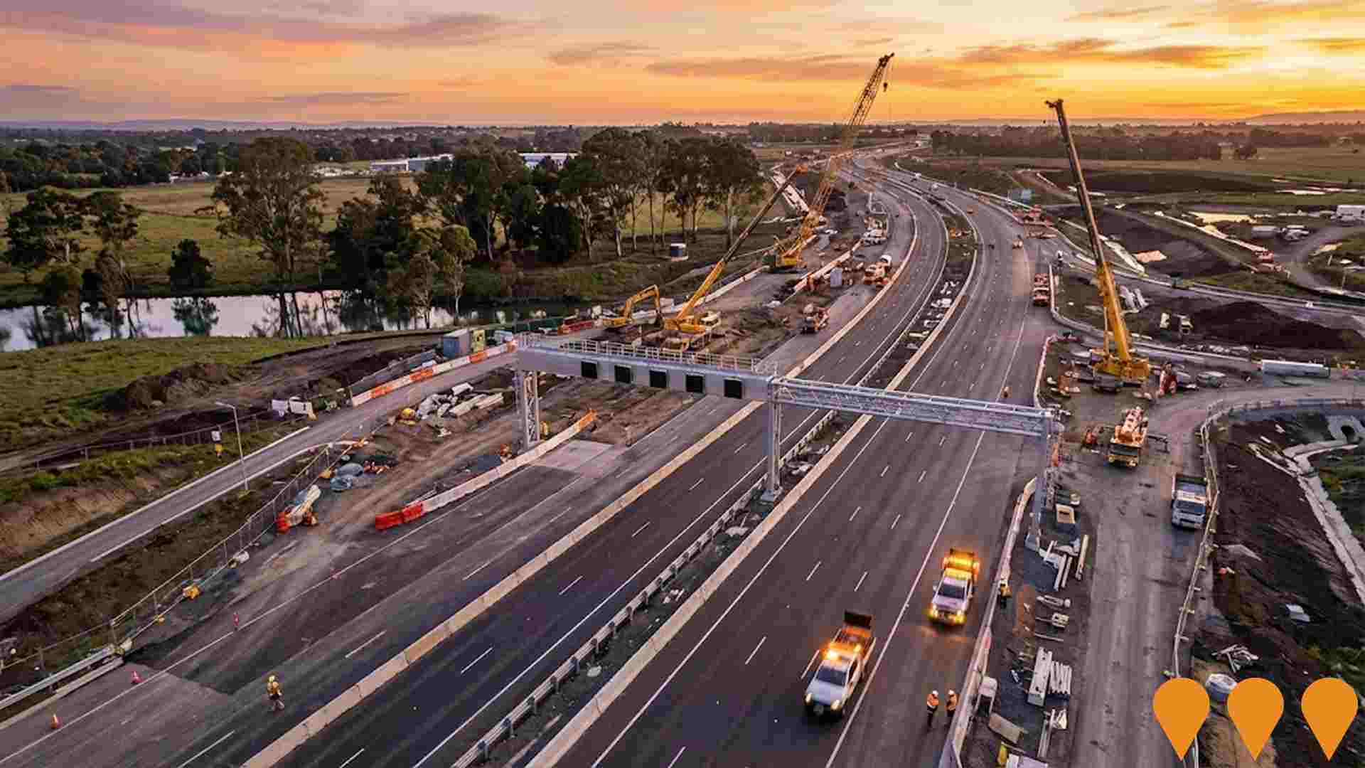
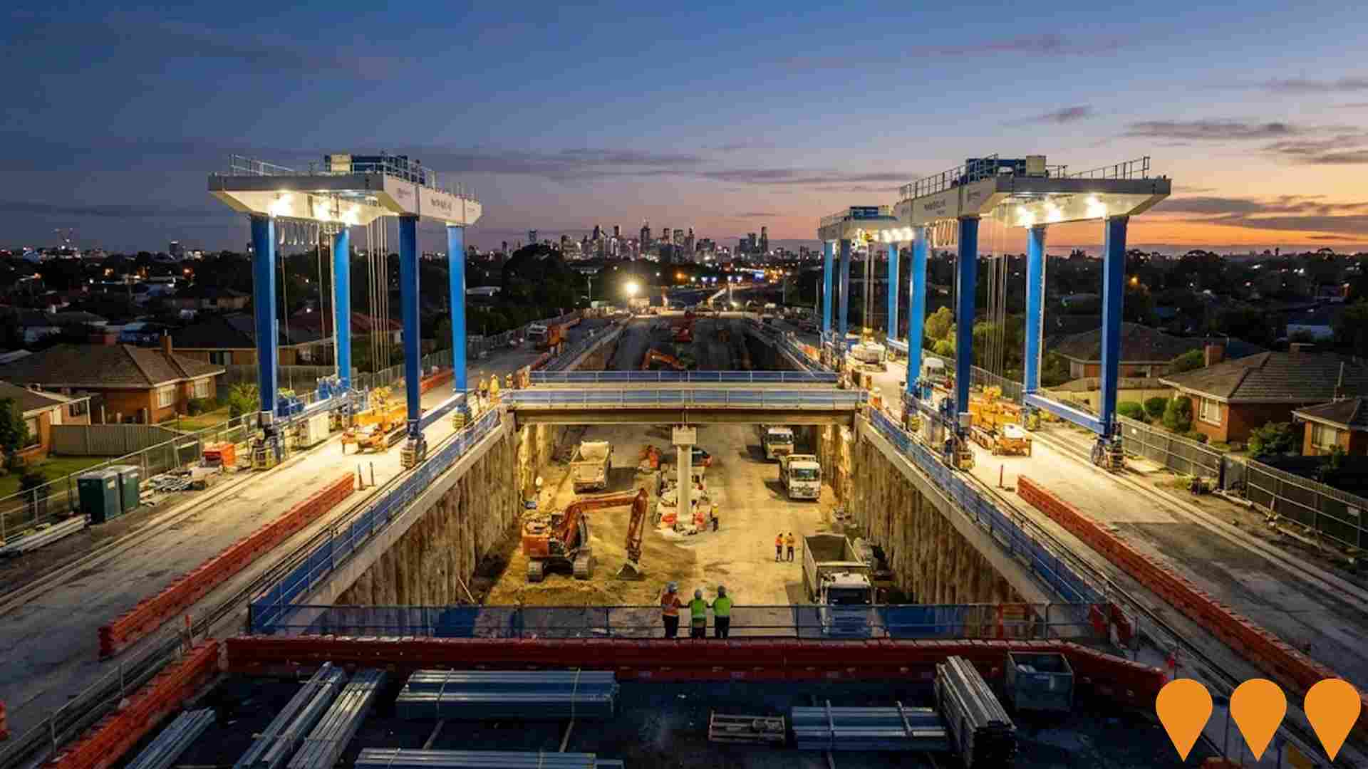
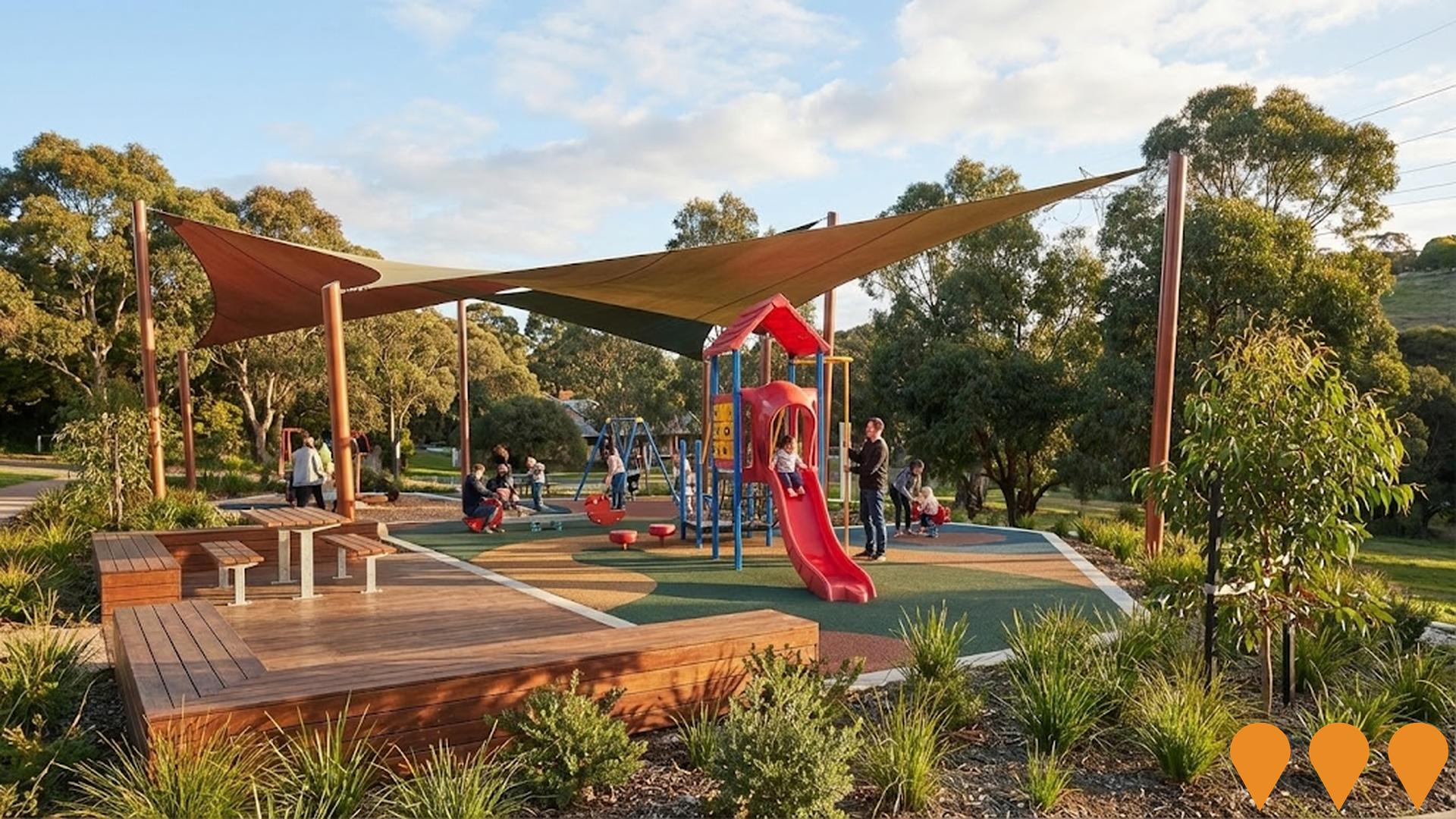
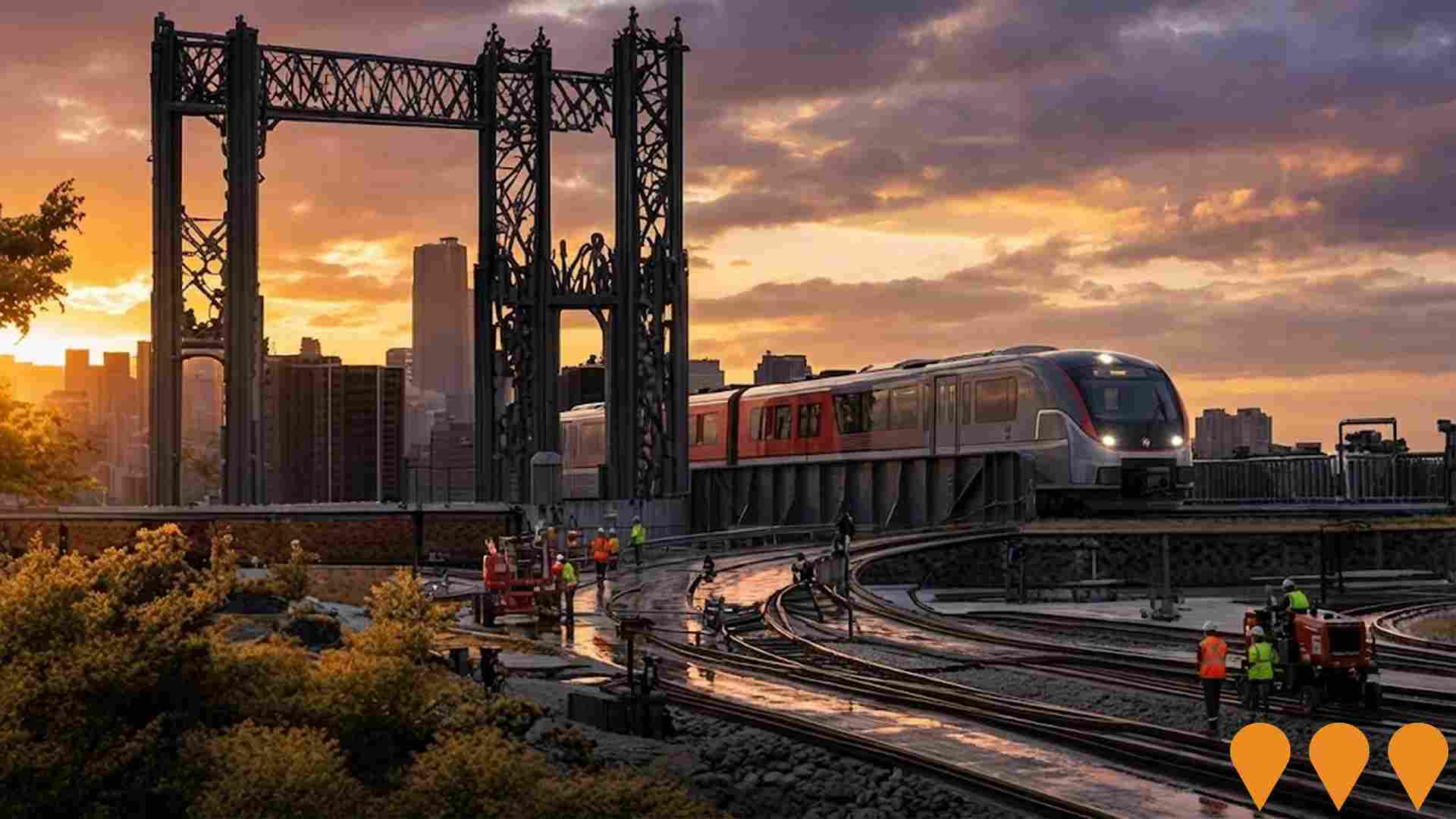
 Denotes AI-based impression for illustrative purposes only, not to be taken as definitive under any circumstances. Please follow links and conduct other investigations from the project's source for actual imagery. Developers and project owners wishing us to use original imagery please Contact Us and we will do so.
Frequently Asked Questions - Infrastructure
North East Link Project
Victoria's largest road infrastructure project, part of Victoria's Big Build, valued at $26.1 billion. It completes the missing link in Melbourne's orbital freeway network with twin 6.5km tunnels connecting the M80 Ring Road at Watsonia to the Eastern Freeway at Bulleen. The project also includes M80 Ring Road Completion, Eastern Freeway Upgrades, the Eastern Busway, new green bridges, parklands and wetlands, noise walls, and 34km of walking and cycling paths. It is expected to remove 15,000 trucks from local roads daily and reduce travel times by up to 35 minutes.

Suburban Rail Loop North
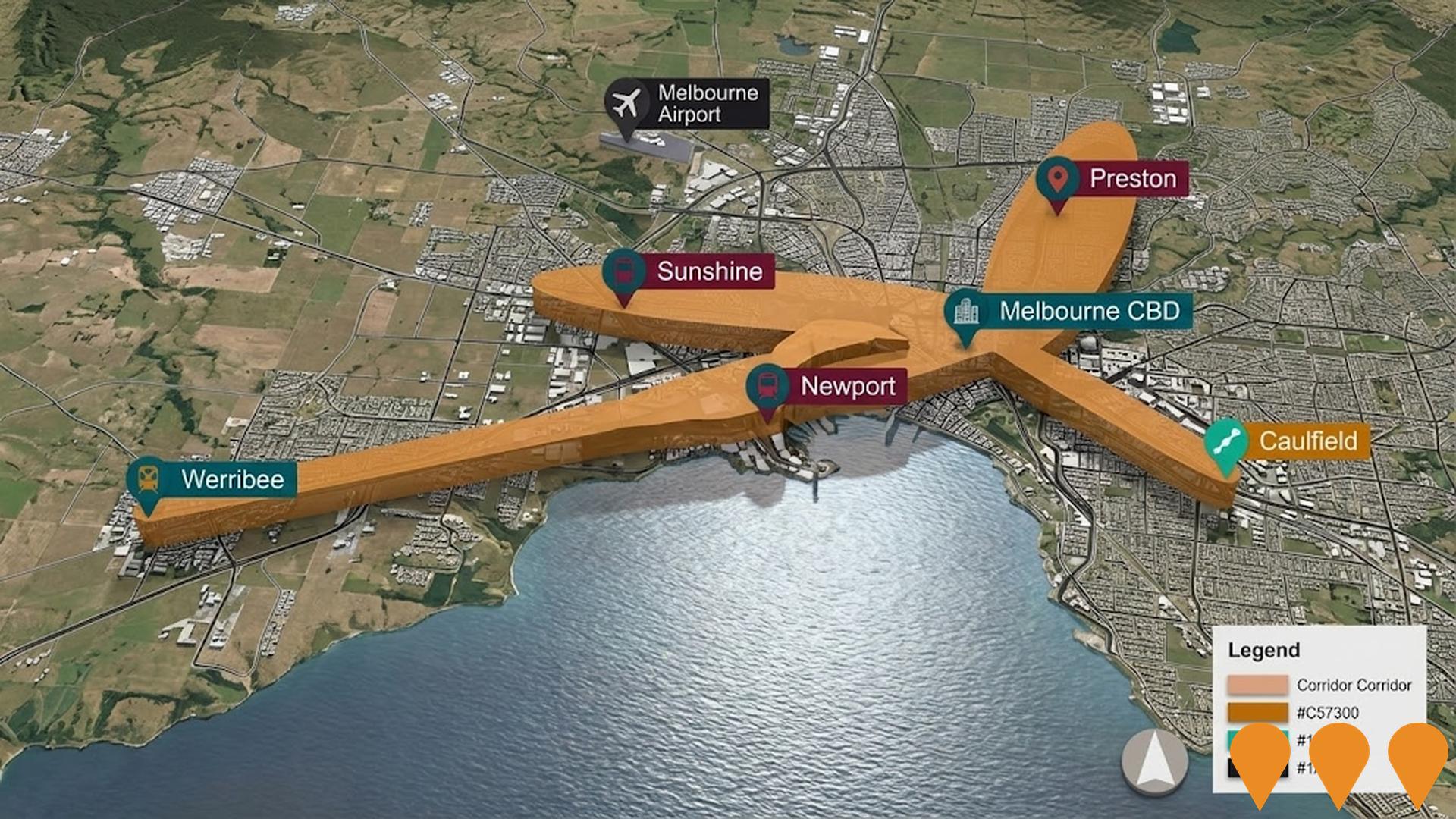
Suburban Rail Loop North is the 26 km second stage of Melbourne's orbital rail project, running underground from Box Hill to Melbourne Airport with new stations at Doncaster, Heidelberg, Bundoora, Reservoir, Fawkner, Broadmeadows and Melbourne Airport. It will connect with the metropolitan and regional rail network and provide direct rail access to Melbourne Airport for the first time.

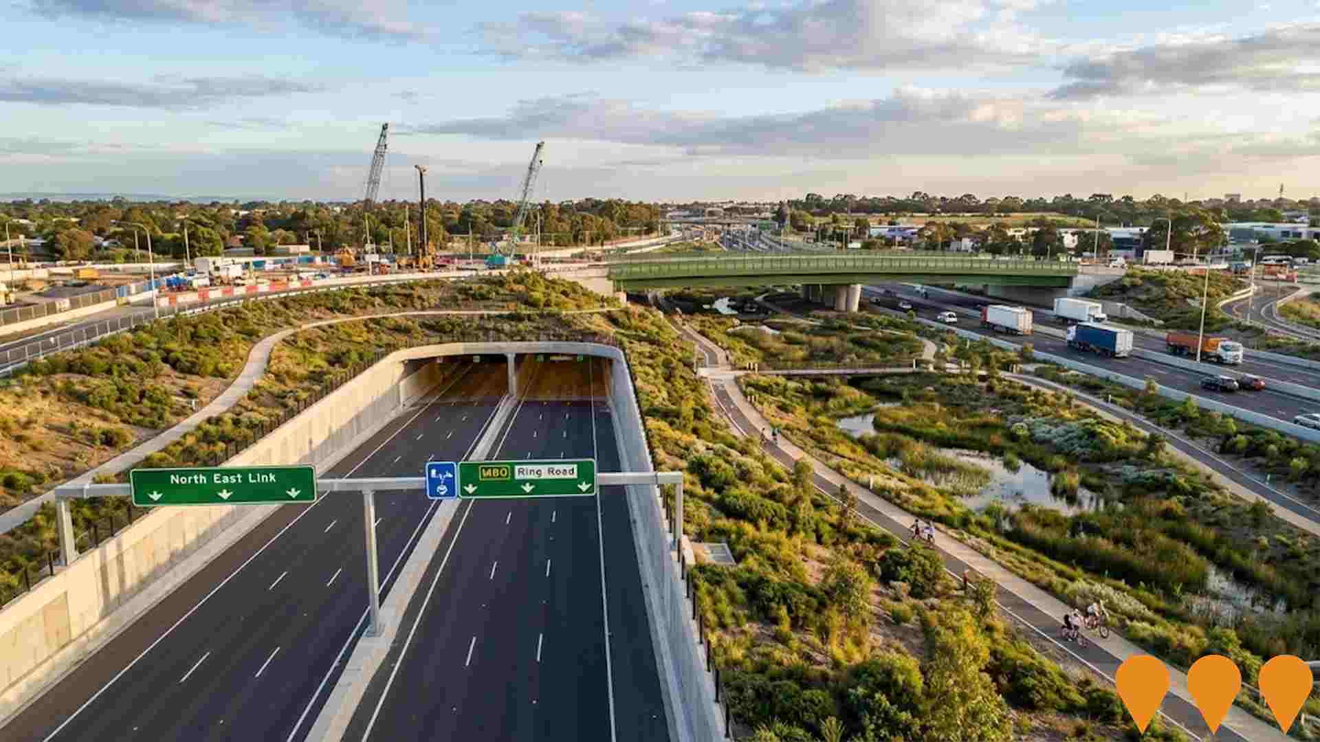
North East Link
North East Link is Victoria's largest road transport project, delivering Australia's longest road tunnels: twin 6.5km three-lane tunnels connecting the M80 Ring Road at Greensborough/Watsonia to the Eastern Freeway at Bulleen, completing the Melbourne orbital freeway network. The $26.1 billion project (Spark Consortium PPP) will remove 15,000 trucks from local roads daily, cut travel times by up to 35 minutes for 135,000 vehicles per day, and includes major Eastern Freeway upgrades with new express lanes, Melbourne's first dedicated busway, new interchanges, a 2-hectare green bridge, wetlands, over 34km of new/upgraded walking and cycling paths, extensive parklands, and intelligent transport systems. Tunnelling commenced in 2024 with TBMs Zelda and Gillian; first permanent section (Bulleen Road Interchange) opened July 2025. Project on track for completion in 2028.
Westfield Plenty Valley Redevelopment
Major shopping centre redevelopment by Scentre Group and Dexus Wholesale Property Fund, completed in 2018 with an $80 million investment adding a new al fresco leisure and dining precinct with around 20 specialty businesses and enhanced entertainment options including a Village Cinemas complex with Gold Class, Vpremium, Vmax, and Vjunior. The centre features approximately 191 stores anchored by Coles, Woolworths, ALDI, Target, and Kmart, two fresh food precincts, a 600-seat food court, and 2,650 car spaces. The redevelopment increased the centre by over 10,300 square metres to around 62,500 sqm. It serves a trade area population of nearly 312,000 residents and is located adjacent to South Morang railway station.

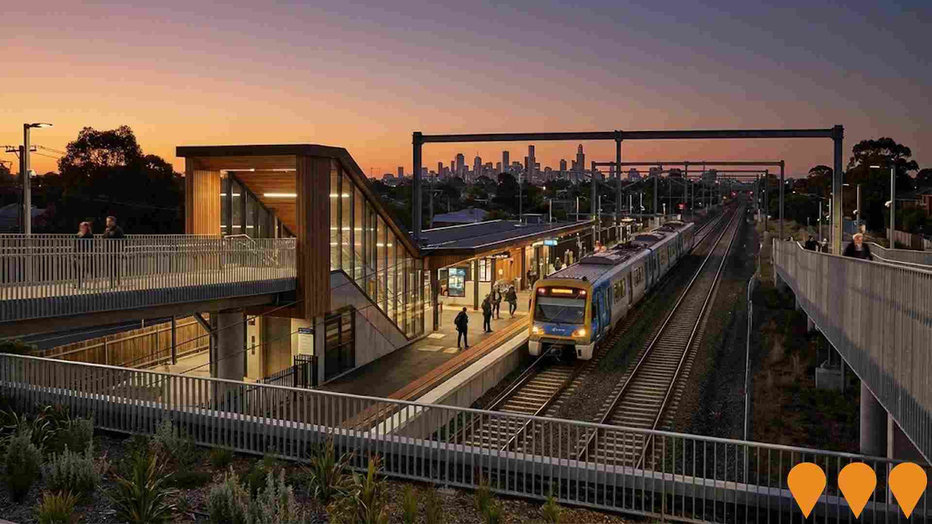
Level Crossing Removal - North Eastern Program Alliance (Hurstbridge corridor)
Program alliance delivering level crossing removals and rail upgrades in Melbourne's north east. NEPA delivered Stage 1 of the Hurstbridge Line Upgrade (duplicate track Heidelberg-Rosanna, remove crossings at Grange Rd Alphington and Lower Plenty Rd Rosanna, build the new Rosanna Station). Subsequent corridor upgrades including the Hurstbridge Line Duplication delivered new stations at Greensborough and Montmorency, further track duplication and a shared path, with major construction completed in April 2025.
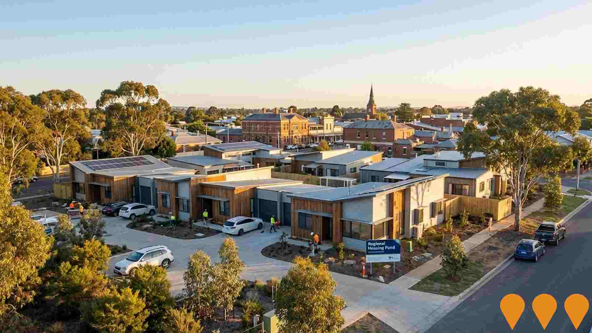
Regional Housing Fund Projects
Part of $1 billion statewide program delivering 1,300+ new homes including social housing, affordable rentals and homeownership opportunities across regional Victoria and growth corridors.
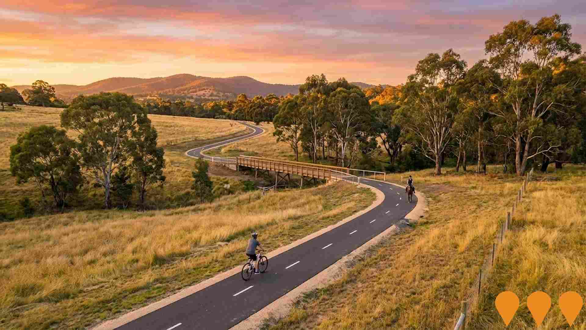
Diamond Creek Trail Extension to Hurstbridge
The extension of the Diamond Creek Trail from Wattle Glen to Hurstbridge provides enhanced shared-use pathways for walking, cycling, and horse riding along the natural creek corridor, completing a continuous 55km trail from Hurstbridge to Melbourne CBD.
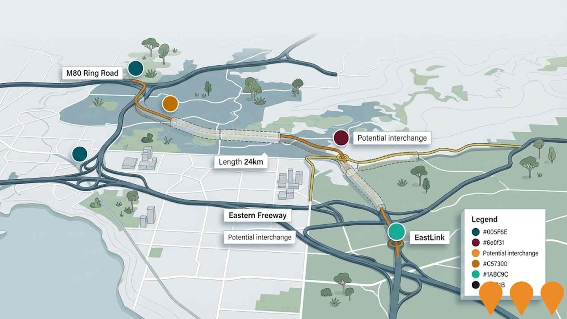
North East Link - Connections
The Connections Package, part of the broader North East Link program, includes upgrades to the Eastern Freeway and completion of the M80 Ring Road, focusing on surface road connections and integration with existing transport infrastructure to ensure seamless traffic flow. Construction is progressing, with tunnelling underway and major works on freeway upgrades ongoing.
Employment
Employment conditions in Hurstbridge demonstrate exceptional strength compared to most Australian markets
Hurstbridge has a highly educated workforce with significant representation in essential services sectors. As of September 2025, its unemployment rate is 2.3%.
Over the past year, it maintained relative employment stability. In comparison to Greater Melbourne's 4.7% unemployment rate and 64.1% workforce participation rate, Hurstbridge has a lower unemployment rate of 2.4% and a higher participation rate of 69.6%. The dominant employment sectors among residents are construction, health care & social assistance, and education & training. Notably, construction employment is at 1.8 times the regional average.
However, professional & technical services have limited presence with 7.0%, compared to the regional average of 10.1%. Analysis of SALM and ABS data for the 12 months ending in September 2025 shows Hurstbridge's employment remained stable at 0.0% growth alongside a labour force increase of 0.0%, keeping unemployment relatively unchanged. In contrast, Greater Melbourne experienced employment growth of 3.0% and labour force growth of 3.3%, with a corresponding rise in unemployment rate by 0.3 percentage points. State-level data as of 25-Nov-25 indicates Victoria's employment grew by 1.13% year-on-year, adding 41,950 jobs, with an unemployment rate of 4.7%. National forecasts from Jobs and Skills Australia project total employment growth of 6.6% over five years and 13.7% over ten years. Applying these projections to Hurstbridge's current employment mix suggests local employment should increase by 6.7% over five years and 13.6% over ten years, though these are simple extrapolations for illustrative purposes only.
Frequently Asked Questions - Employment
Income
Income analysis reveals strong economic positioning, with the area outperforming 60% of locations assessed nationally by AreaSearch
AreaSearch released postcode-level ATO data for financial year 2022. Hurstbridge SA2's median income among taxpayers was $53,901, with an average of $71,047. Nationally, the median was lower at $46,282 and the average was $70,230. In Greater Melbourne, the median was $54,892 and the average was $73,761. Based on Wage Price Index growth of 12.16% since financial year 2022, estimates for September 2025 would be approximately $60,455 (median) and $79,686 (average). The 2021 Census showed household, family and personal incomes in Hurstbridge clustered around the 71st percentile nationally. The earnings profile revealed that 35.2% of residents (1,249 people) earned between $1,500 - $2,999, similar to the surrounding region at 32.8%. High weekly earnings exceeding $3,000 were achieved by 31.4% of households, indicating strong consumer spending power. After housing costs, residents retained 86.7% of income, reflecting robust purchasing power. The area's SEIFA income ranking placed it in the 7th decile.
Frequently Asked Questions - Income
Housing
Hurstbridge is characterized by a predominantly suburban housing profile, with a higher proportion of rental properties than the broader region
Hurstbridge's dwelling structure, as per the latest Census, consisted of 97.5% houses and 2.5% other dwellings (semi-detached, apartments, 'other' dwellings), compared to Melbourne metro's 93.9% houses and 6.0% other dwellings. Home ownership in Hurstbridge stood at 36.5%, with mortgaged dwellings at 53.0% and rented ones at 10.6%. The median monthly mortgage repayment was $2,000, lower than Melbourne metro's average of $2,167. Median weekly rent in Hurstbridge was $420, slightly higher than Melbourne metro's $431. Nationally, Hurstbridge's mortgage repayments were above the Australian average of $1,863, while rents were substantially higher at $420 compared to the national figure of $375.
Frequently Asked Questions - Housing
Household Composition
Hurstbridge features high concentrations of family households, with a lower-than-average median household size
Family households compose 81.5 percent of all households, including 43.1 percent couples with children, 26.1 percent couples without children, and 11.9 percent single parent families. Non-family households constitute the remaining 18.5 percent, with lone person households at 17.3 percent and group households comprising 1.2 percent of the total. The median household size is 2.8 people, which is smaller than the Greater Melbourne average of 2.9.
Frequently Asked Questions - Households
Local Schools & Education
Hurstbridge shows strong educational performance, ranking in the upper quartile nationally when assessed across multiple qualification and achievement indicators
University qualification levels in Hurstbridge stand at 32.2%, slightly below Greater Melbourne's average of 37.0%. Bachelor degrees are the most common (20.9%), followed by postgraduate qualifications (6.7%) and graduate diplomas (4.6%). Vocational credentials are held by 37.9% of residents aged 15+, with advanced diplomas at 11.9% and certificates at 26.0%.
Educational participation is high, with 29.5% currently enrolled in formal education. This includes 10.4% in primary, 8.2% in secondary, and 4.9% in tertiary education.
Frequently Asked Questions - Education
Schools Detail
Nearby Services & Amenities
Transport
Transport servicing is moderate compared to other areas nationally based on assessment of service frequency, route connectivity and accessibility
Hurstbridge has four operational public transport stops. These are served by a combination of train and bus routes. Two routes collectively facilitate 1,433 weekly passenger trips.
Residents' access to these services is limited, with an average distance of 777 meters to the nearest stop. The service frequency averages 204 trips daily across all routes, resulting in approximately 358 weekly trips per individual stop.
Frequently Asked Questions - Transport
Transport Stops Detail
Health
Hurstbridge's residents are healthier than average in comparison to broader Australia with prevalence of common health conditions quite low across both younger and older age cohorts
Hurstbridge residents show positive health trends with low prevalence of common conditions across all ages. Private health cover is high at approximately 55%, compared to Greater Melbourne's 60.1%.
Mental health issues and asthma are most common, affecting 9.5% and 8.5% respectively. 67.7% report no medical ailments, slightly lower than Greater Melbourne's 70.6%. The area has 19.3% of residents aged 65 and over (686 people). Health outcomes among seniors are notably strong, outperforming the general population in health metrics.
Frequently Asked Questions - Health
Cultural Diversity
Hurstbridge is considerably less culturally diverse than average when assessed alongside AreaSearch's national rankings for language and cultural background related metrics
Hurstbridge, as per data from the Australian Bureau of Statistics Census 2021, shows lower cultural diversity with 87.8% of its population born in Australia and 94.3% being citizens. English is predominantly spoken at home by 95.9%. Christianity is the major religion, practiced by 34.9% of Hurstbridge residents.
Notably, Judaism is overrepresented compared to Greater Melbourne, with 0.3% versus 0.1%. The top three ancestry groups are English (28.6%), Australian (28.4%), and Irish (11.3%). Some ethnicities show significant differences: Welsh at 1.0% in Hurstbridge versus 0.5% regionally, Scottish at 9.6% versus 8.2%, and Maltese at 1.0% each.
Frequently Asked Questions - Diversity
Age
Hurstbridge's population is slightly older than the national pattern
The median age in Hurstbridge is 42 years, which is significantly higher than Greater Melbourne's average of 37 years and Australia's average of 38 years. The age group of 55-64 has a strong representation at 14.6%, compared to Greater Melbourne, while the 25-34 age group is less prevalent at 9.3%. According to data from the post-2021 Census, the 15 to 24 age group has increased from 12.4% to 14.1%, and the 75 to 84 age group has grown from 4.3% to 5.9%. Conversely, the 5 to 14 age group has declined from 14.0% to 11.5%, and the 35 to 44 age group has dropped from 12.6% to 11.0%. Population forecasts for the year 2041 indicate substantial demographic changes in Hurstbridge. Leading this shift, the 75 to 84 age group is expected to grow by 106%, reaching 433 people from 209. Notably, the combined age groups of 65 and above will account for 66% of total population growth, reflecting Hurstbridge's aging demographic profile. In contrast, the 0 to 4 and 15 to 24 age groups are expected to experience population declines.
