Chart Color Schemes
est. as @ -- *
ABS ERP | -- people | --
2021 Census | -- people
Sales Activity
Curious about local property values? Filter the chart to assess the volume and appreciation (including resales) trends and regional comparisons, or scroll to the map below view this information at an individual property level.
Find a Recent Sale
Sales Detail
Population
Waratah is positioned among the lower quartile of areas assessed nationally for population growth based on AreaSearch's assessment of recent, and medium term trends
Waratah's population was approximately 3,987 as of November 2025. This figure represents an increase of 144 people since the 2021 Census, which recorded a population of 3,843. The growth is inferred from ABS data showing an estimated resident population of 3,970 in June 2024 and 94 validated new addresses added since the Census date. This results in a population density ratio of 1.1 persons per square kilometer. Waratah's growth rate of 3.7% since the 2021 census exceeded the SA3 area average of 3.4%, indicating it as a region leader in growth. Natural growth contributed approximately 75.7% of overall population gains during recent periods.
AreaSearch uses ABS/Geoscience Australia projections for each SA2 area, released in 2024 with a base year of 2022. For areas not covered by this data and to estimate post-2032 growth by age group, Tasmania State Government's Regional/LGA projections are adopted, released in 2022 with a base year of 2021. Future population dynamics anticipate an overall decline over the period. According to these projections, Waratah's population is expected to decrease by 409 persons by 2041. However, specific age cohorts are projected to grow, notably the 75 to 84 age group, which is anticipated to expand by 97 people.
Frequently Asked Questions - Population
Development
AreaSearch analysis of residential development drivers sees Waratah recording a relatively average level of approval activity when compared to local markets analysed countrywide
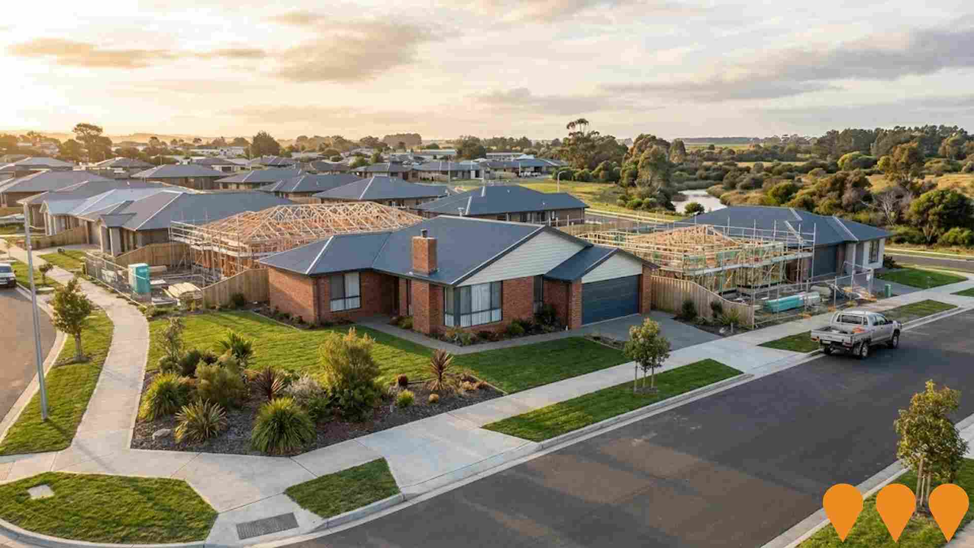
Waratah has received approximately 23 dwelling approvals annually. Over the past five financial years, from FY-21 to FY-25116 homes were approved, with an additional 4 approved in FY-26 so far. On average, each dwelling constructed over these years accommodated about 1.7 new residents per year. However, this figure has decreased to 1.1 people per dwelling over the past two financial years.
The average construction cost of new properties is $274,000. This fiscal year has seen $1.4 million in commercial development approvals. Compared to the Rest of Tas., Waratah records 68% more building activity per person, offering buyers greater choice. However, building activity has slowed in recent years.
All new construction consists of detached dwellings, maintaining Waratah's low-density character and appealing to those seeking space. With around 240 people per approval, Waratah reflects a low-density area. Given stable or declining population forecasts, housing pressure may be lessened, creating favourable conditions for buyers.
Frequently Asked Questions - Development
Infrastructure
Waratah has limited levels of nearby infrastructure activity, ranking in the 11thth percentile nationally
Changes to local infrastructure significantly influence an area's performance. AreaSearch identified 16 projects likely impacting the area. Notable projects include Boat Harbour Beach Master Plan, Wynyard Affordable Housing Development, Bass Highway Cooee to Wynyard Upgrades, and Cooee to Wynyard Coastal Pathway. The following list details those most relevant.
Professional plan users can use the search below to filter and access additional projects.
INFRASTRUCTURE SEARCH
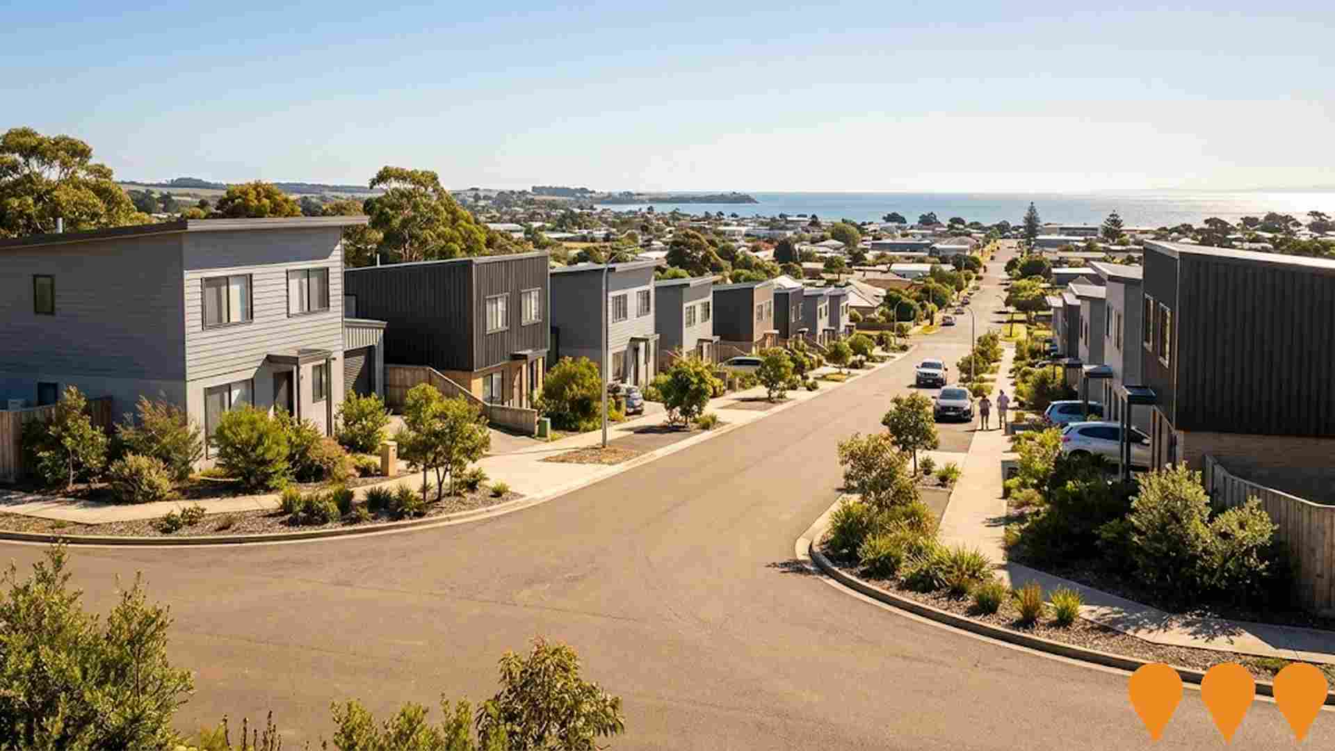
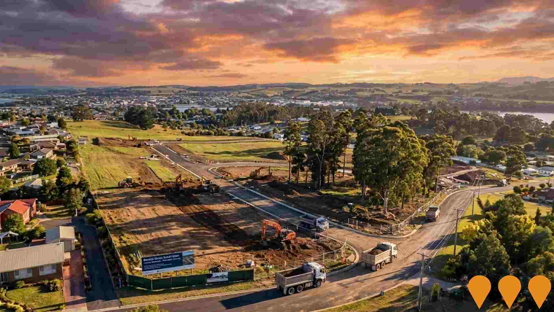
 Denotes AI-based impression for illustrative purposes only, not to be taken as definitive under any circumstances. Please follow links and conduct other investigations from the project's source for actual imagery. Developers and project owners wishing us to use original imagery please Contact Us and we will do so.
Frequently Asked Questions - Infrastructure
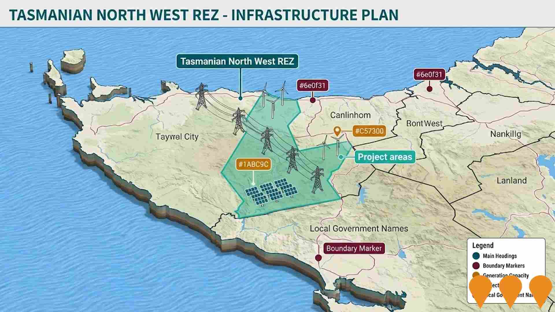
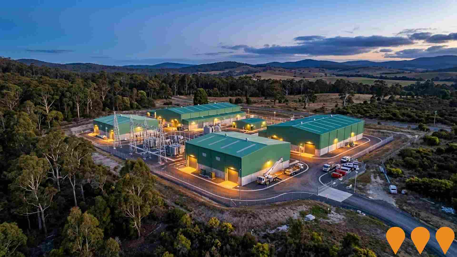
North West Transmission Developments
240km of new and upgraded transmission lines and energy infrastructure to increase Tasmania's electricity network capacity. Supporting infrastructure for Marinus Link. The North West Transmission Developments (NWTD) are intended to support Tasmania's renewable energy future. Main construction anticipated to commence in 2026 following final investment decision.

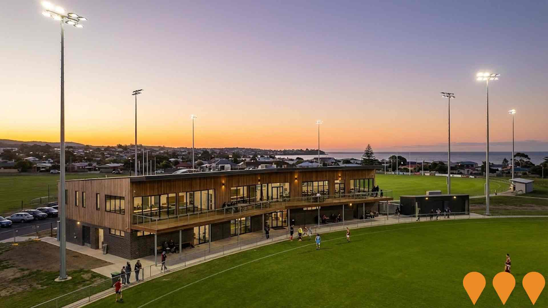
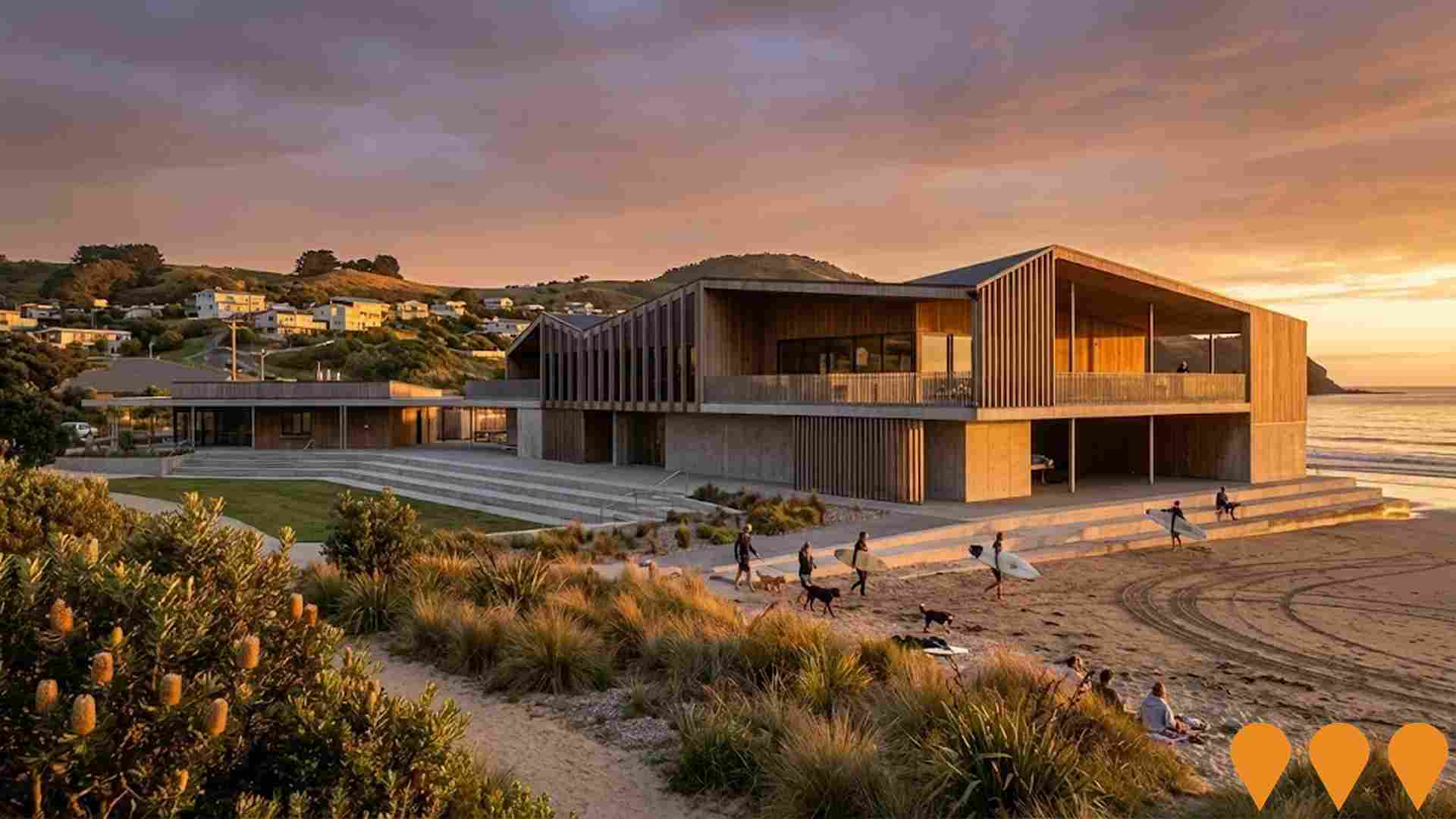
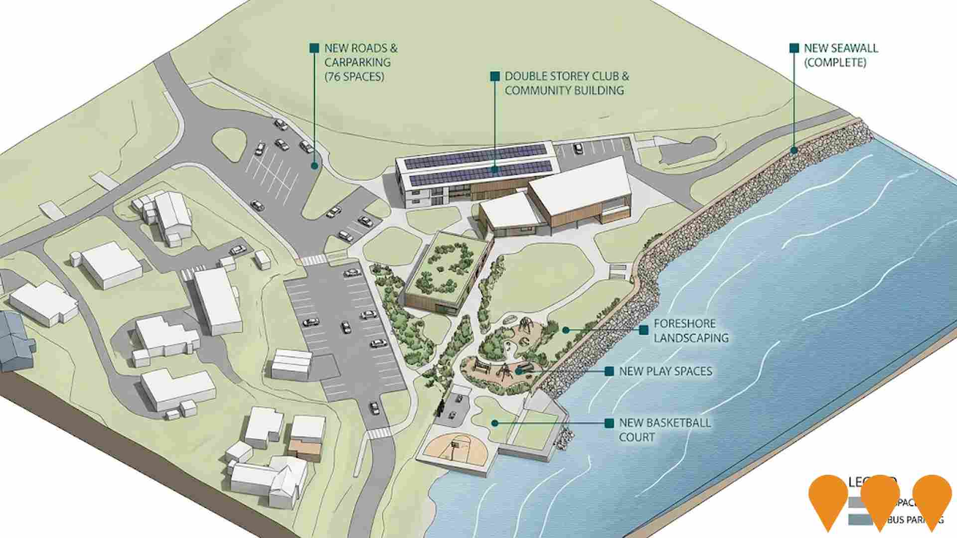
Boat Harbour Beach Master Plan
Foreshore renewal led by Waratah-Wynyard Council including a new surf life saving club and community hub, landscaped public spaces and play areas, upgraded access roads and parking, and associated civil works. Western bay seawall replacement completed in 2023; main construction commenced November 2024 with staged works through 2026.
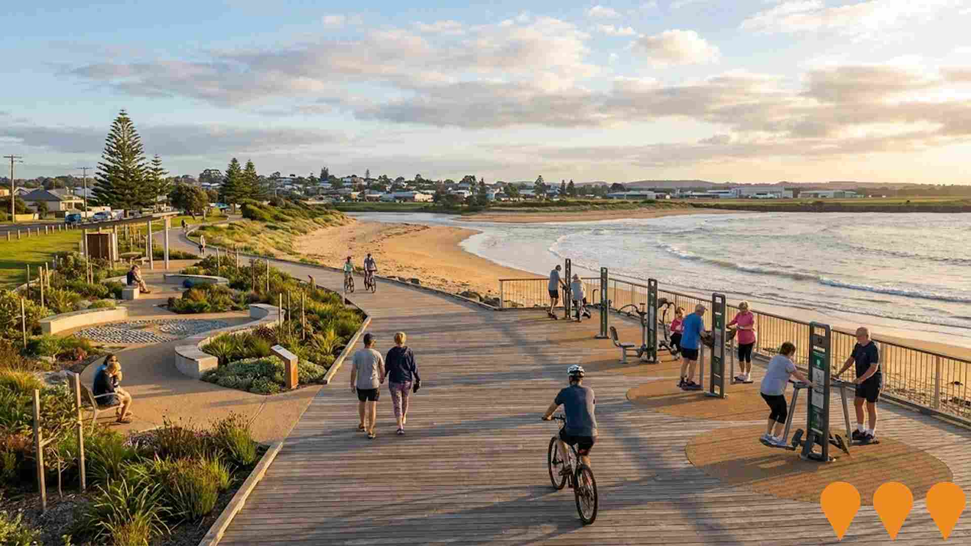
Cooee to Wynyard Coastal Pathway
A 13.2 km shared pedestrian and bicycle pathway along Tasmania's north-west coast between Cooee (Burnie) and Wynyard. Works included seven erosion-control rock revetments, penguin fencing upgrades, bridge safety works and integration of existing sections. Officially opened on 24 October 2024.
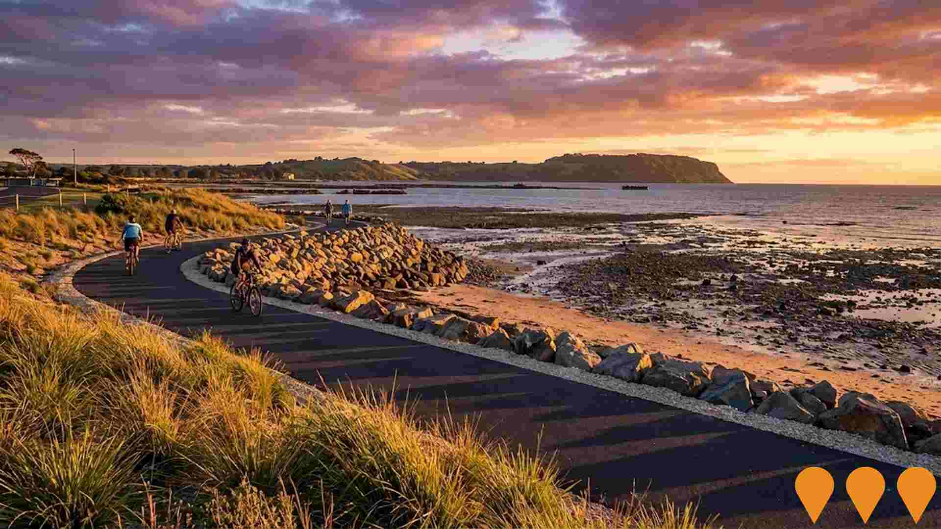
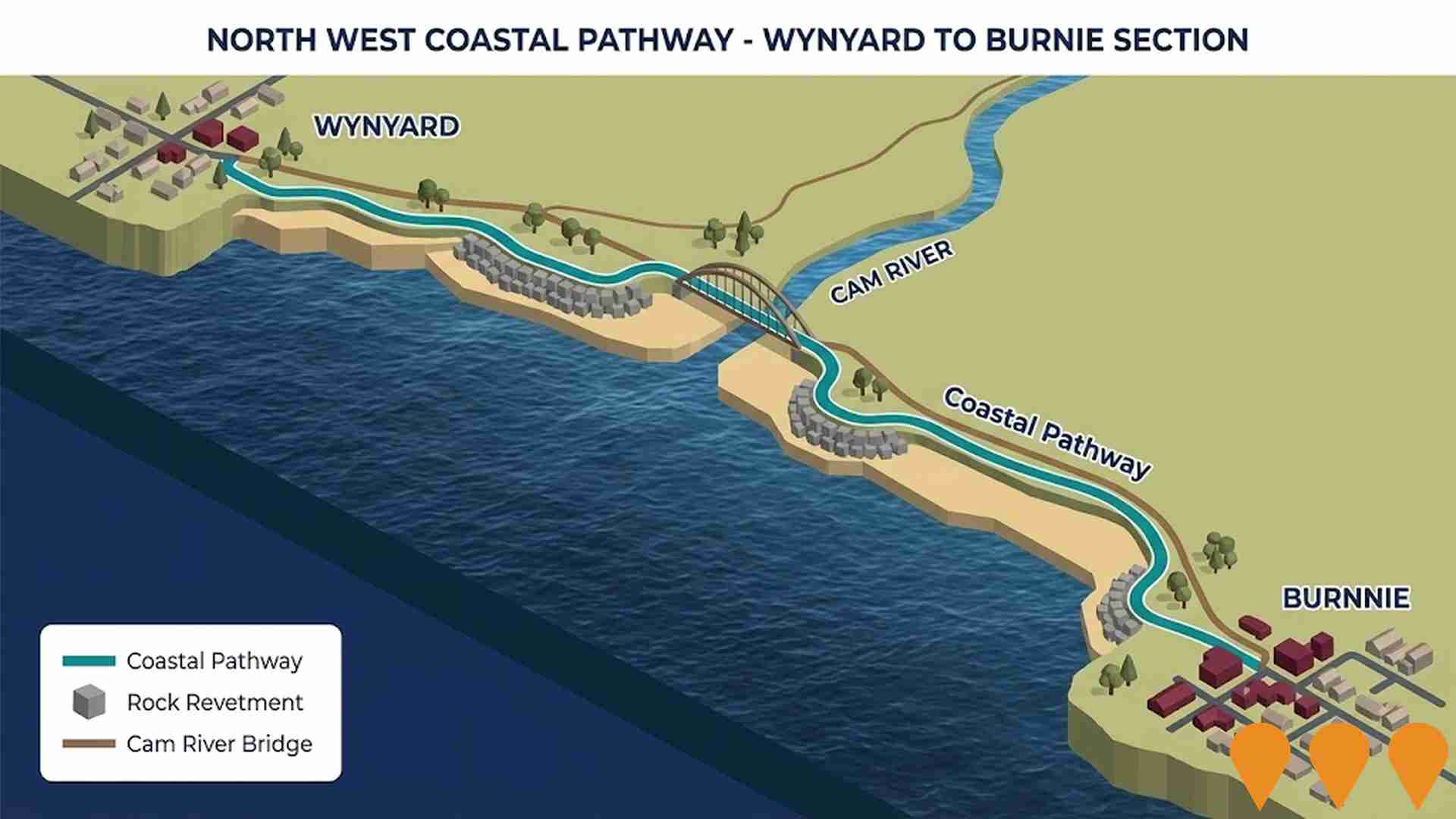
North West Coastal Pathway - Wynyard to Burnie Section
The North West Coastal Pathway is a 13.2 km shared coastal pathway that runs between Burnie and Wynyard. The project involved transforming a disused rail line into a path for cycling and walking, and included the construction of seven rock revetment structures to prevent coastal erosion. The path features a new walking and cycling bridge over the Cam River and a 2.6m wide asphalt surface. Landscaping works are ongoing with planting to be completed by the end of April 2025.
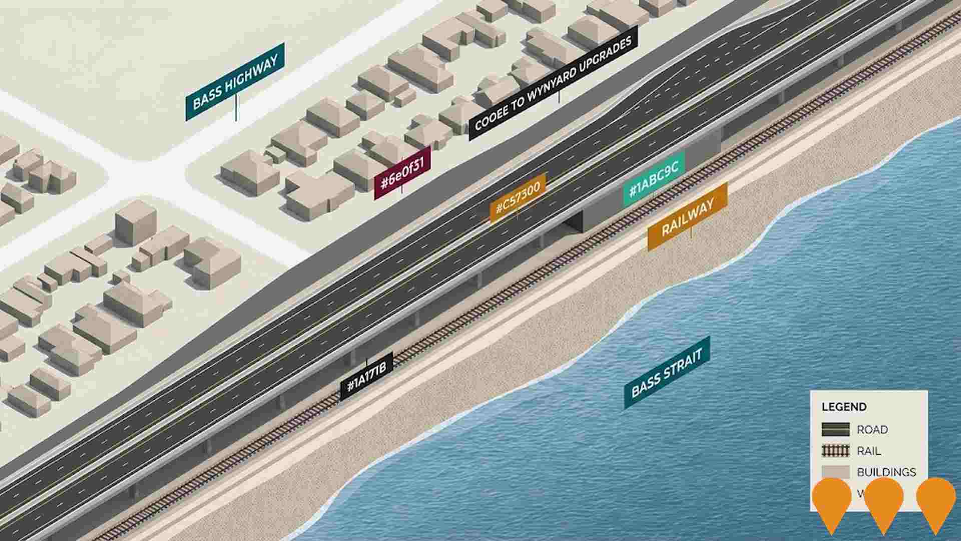
Bass Highway Cooee to Wynyard Upgrades
Priority works to realign and upgrade an approximate 3.2 kilometre stretch of the Bass Highway from Somerset to Wynyard, including the construction of two overtaking lanes, a central median safety barrier and enhanced lane markings along this section of the highway to improve road safety and traffic congestion.
Boat Harbour Beach Master Plan
The Boat Harbour Beach Master Plan provides a unifying vision for managing public spaces and infrastructure at Boat Harbour Beach. Key elements include the replacement of the Western Bay seawall (completed in 2023), foreshore development with a new surf club building featuring community space, cafe, and modern public amenities, landscaping with new play areas, and upgrades to access roads and parking. The plan addresses community needs and visitor expectations sustainably.
Wynyard Affordable Housing Development
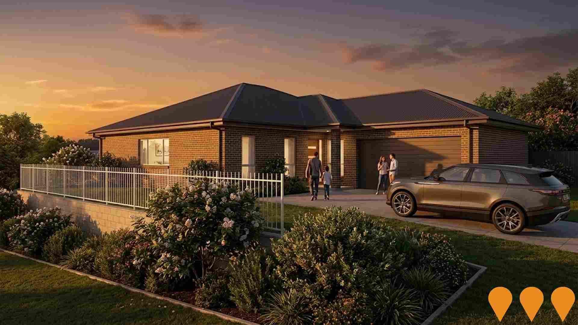
Development of 47 energy-efficient affordable and social rental homes (single and double-storey units) in Wynyard, Tasmania, funded under Round 1 of the Housing Australia Future Fund and delivered by Housing Choices Tasmania in partnership with Homes Tasmania.
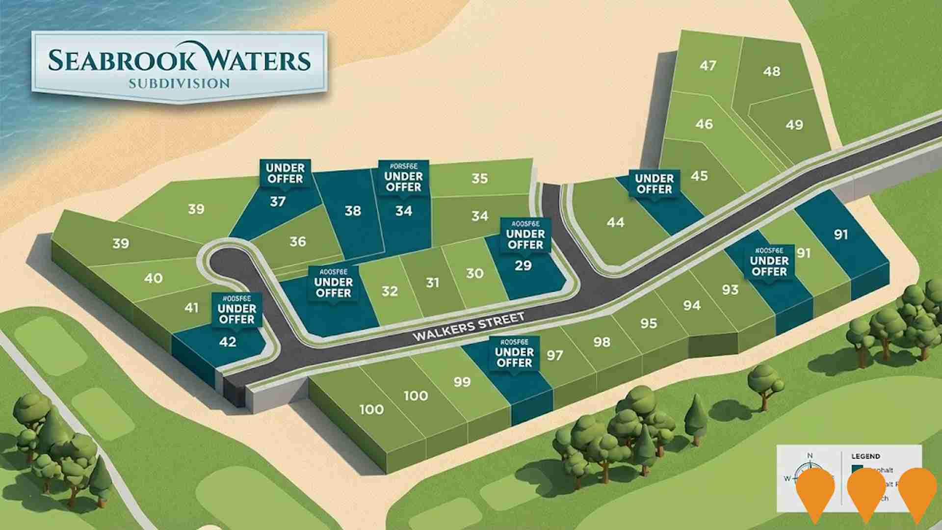
Bowick Street Subdivision
A residential subdivision developed by Homes Tasmania, providing 36 affordable housing lots ranging from 455m2 to 1430m2, located near the town centre, golf course, and beach in Wynyard. Lots were released for sale starting in 2022, with final stages selling as of 2025.
Employment
Employment performance in Waratah has been below expectations when compared to most other areas nationally
Waratah has a skilled workforce with manufacturing and industrial sectors well-represented. Its unemployment rate was 4.0% in the past year, with an estimated employment growth of 2.1%.
As of June 2025, 1,895 residents were employed, aligning with Rest of Tas.'s unemployment rate of 3.9%, and workforce participation at 55.7%. Key employment sectors include agriculture, forestry & fishing, health care & social assistance, and education & training. Waratah has a strong specialization in agriculture, forestry & fishing (1.8 times the regional level), but accommodation & food employs only 5.1% of local workers, below Rest of Tas.'s 7.7%. The area may have limited local employment opportunities, as suggested by Census data.
In the 12 months prior to May 2025, employment increased by 2.1%, labour force by 2.2%, and unemployment rose marginally by 0.1 percentage points. This contrasts with Rest of Tas., where employment fell by 0.5% and unemployment decreased slightly. National employment forecasts from Jobs and Skills Australia project a 6.6% increase over five years and 13.7% over ten years. Applying these projections to Waratah's employment mix suggests local growth of approximately 5.6% over five years and 12.3% over ten years, though this is a simple extrapolation for illustrative purposes only.
Frequently Asked Questions - Employment
Income
Income figures position the area below 75% of locations analysed nationally by AreaSearch
AreaSearch's latest postcode level ATO data for financial year 2022 shows that median income in Waratah is $47,312 and average income is $57,232. This contrasts with Rest of Tas., where median income is $47,358 and average income is $57,384. Based on Wage Price Index growth of 13.83% since financial year 2022, current estimates for Waratah would be approximately $53,855 (median) and $65,147 (average) as of September 2025. According to the 2021 Census, incomes in Waratah fall between the 14th and 22nd percentiles nationally. The predominant income bracket is $1,500 - 2,999, with 31.8% of locals (1,267 people) occupying this category, similar to the surrounding region at 28.5%. Housing costs are modest, with 89.2% of income retained, but total disposable income ranks at just the 30th percentile nationally.
Frequently Asked Questions - Income
Housing
Waratah is characterized by a predominantly suburban housing profile, with above-average rates of outright home ownership
Waratah's dwelling structure, as per the latest Census, consisted of 99.6% houses and 0.4% other dwellings (semi-detached, apartments, 'other' dwellings), compared to Non-Metro Tas.'s 95.9% houses and 4.1% other dwellings. Home ownership in Waratah was at 45.9%, with mortgaged dwellings at 40.2% and rented ones at 13.9%. The median monthly mortgage repayment was $1,170, higher than Non-Metro Tas.'s average of $1,053. Median weekly rent in Waratah was $250, compared to Non-Metro Tas.'s $200. Nationally, Waratah's mortgage repayments were lower at $1,863 and rents were substantially below the national figure of $375.
Frequently Asked Questions - Housing
Household Composition
Waratah has a typical household mix, with a higher-than-average median household size
Family households constitute 73.5% of all households, including 28.4% couples with children, 35.6% couples without children, and 9.0% single parent families. Non-family households comprise the remaining 26.5%, with lone person households at 24.4% and group households making up 2.3% of the total. The median household size is 2.5 people, larger than the Rest of Tas. average of 2.3.
Frequently Asked Questions - Households
Local Schools & Education
Educational outcomes in Waratah fall within the lower quartile nationally, indicating opportunities for improvement in qualification attainment
The area's university qualification rate is 18.8%, significantly lower than the Australian average of 30.4%. This presents both a challenge and an opportunity for targeted educational initiatives. Bachelor degrees are most common at 13.0%, followed by postgraduate qualifications (3.0%) and graduate diplomas (2.8%). Trade and technical skills are prominent, with 42.7% of residents aged 15+ holding vocational credentials – advanced diplomas (10.2%) and certificates (32.5%).
Educational participation is high at 27.9%, including primary education (12.2%), secondary education (8.2%), and tertiary education (2.5%). Schools in the area include Yolla District School and Boat Harbour Primary School, serving a total of 387 students. The educational mix also includes one K-12 school.
Frequently Asked Questions - Education
Schools Detail
Nearby Services & Amenities
Transport
No public transport data available for this catchment area.
Frequently Asked Questions - Transport
Transport Stops Detail
Health
Health performance in Waratah is lower than average with common health conditions somewhat prevalent across both younger and older age cohorts
Waratah faces significant health challenges with common health conditions prevalent across both younger and older age cohorts. Approximately 48% of the total population (~1,925 people) has private health cover, which is lower than the national average of 55.3%.
The most common medical conditions are arthritis (affecting 9.7% of residents) and asthma (8.7%). In contrast, 65.4% of residents declare themselves completely clear of medical ailments, similar to the rest of Tasmania at 65.0%. The area has a higher proportion of seniors aged 65 and over at 22.1% (880 people). Health outcomes among seniors in Waratah are particularly strong, performing better than the general population in health metrics.
Frequently Asked Questions - Health
Cultural Diversity
Waratah is considerably less culturally diverse than average when assessed alongside AreaSearch's national rankings for language and cultural background related metrics
Waratah exhibited below-average cultural diversity, with 89.7% citizens, 87.5% born in Australia, and 97.4% speaking English only at home as of the latest data. Christianity dominated Waratah's religious landscape, accounting for 37.4%. The 'Other' religion category was slightly overrepresented compared to regional averages (0.8% vs 0.7%).
In terms of ancestry, Australians made up 33.4%, English 32.6%, and Scottish 8.4% of Waratah's population. Notably, Australian Aboriginal people were more represented in Waratah at 5.5% compared to the regional average of 7.7%. Dutch (1.7%) and Hungarian (0.3%) ancestry were also slightly overrepresented compared to regional figures of 1.6% and 0.1%, respectively.
Frequently Asked Questions - Diversity
Age
Waratah hosts an older demographic, ranking in the top quartile nationwide
Waratah's median age is 46 years, comparable to Rest of Tas.'s 45 years and significantly higher than Australia's median age of 38 years. The age profile shows that the 55-64 year-old group is particularly prominent at 17.9%, while the 25-34 year-old group is smaller at 8.3% compared to Rest of Tas.. This concentration of 55-64 year-olds is well above the national average of 11.2%. Post-2021 Census data shows that the 75 to 84 age group grew from 5.2% to 6.9%, and the 15 to 24 cohort increased from 9.1% to 10.4%. Conversely, the 45 to 54 cohort declined from 15.2% to 13.3%, and the 25 to 34 group dropped from 9.6% to 8.3%. Demographic modeling suggests that Waratah's age profile will change significantly by 2041. The 75 to 84 age cohort is projected to grow steadily, increasing by 90 people (33%) from 275 to 366. Senior residents aged 65 and above will drive all population growth, emphasizing demographic aging trends. Meanwhile, both the 15 to 24 and 0 to 4 age groups are expected to decrease in number.
