Chart Color Schemes
This analysis uses ABS Statistical Areas Level 2 (SA2) boundaries, which can materially differ from Suburbs and Localities (SAL) even when sharing similar names.
SA2 boundaries are defined by the Australian Bureau of Statistics and are designed to represent communities for statistical reporting (e.g., census and ERP).
Suburbs and Localities (SAL) represent commonly-used suburb/locality names (postal-style areas) and may use different geographic boundaries. For comprehensive analysis, consider reviewing both boundary types if available.
est. as @ -- *
ABS ERP | -- people | --
2021 Census | -- people
Sales Activity
Curious about local property values? Filter the chart to assess the volume and appreciation (including resales) trends and regional comparisons, or scroll to the map below view this information at an individual property level.
Find a Recent Sale
Sales Detail
Population
Babinda has seen population growth performance typically on par with national averages when looking at short and medium term trends
Babinda's population is around 4,810 as of November 2025. This reflects an increase of 242 people from the population recorded in the 2021 Census, which was 4,568 people. The change is inferred from the estimated resident population of 4,719 reported by the ABS in June 2024 and an additional 90 validated new addresses since the Census date. This level of population results in a density ratio of 7.2 persons per square kilometer. Babinda's growth rate of 5.3% since the 2021 census exceeded that of its SA3 area, making it a growth leader in the region. Interstate migration contributed approximately 65.1% of overall population gains during recent periods.
AreaSearch adopts ABS/Geoscience Australia projections for each SA2 area, released in 2024 with a base year of 2022. For areas not covered by this data and years post-2032, Queensland State Government's SA2 area projections are used, released in 2023 based on 2021 data. It should be noted that these state projections do not provide age category splits. Looking ahead, a population increase just below the median of Australia's non-metropolitan areas is expected, with the area projected to expand by 394 persons to reach 5,204 by 2041 based on the latest annual ERP population numbers, reflecting an overall increase of 6.3% over the 17-year period.
Frequently Asked Questions - Population
Development
Residential development activity is slightly higher than average within Babinda when compared nationally
Babinda has seen around 14 new homes approved annually over the past five financial years, totalling 72 homes. So far in FY-26, 7 approvals have been recorded. On average, 3.5 people moved to the area each year for each dwelling built between FY-21 and FY-25. This has resulted in demand significantly exceeding new supply, leading to price growth and increased buyer competition.
New dwellings are developed at an average expected construction cost value of $287,000, which is under regional levels, indicating more accessible housing choices for buyers. There have been $933,000 in commercial approvals this financial year, suggesting a predominantly residential focus. Compared to the rest of Queensland, Babinda shows approximately 75% of the construction activity per person and places among the 53rd percentile of areas assessed nationally. This activity is also below average nationally, reflecting the area's maturity and possible planning constraints.
Recent building activity consists entirely of detached houses, preserving the area's low density nature and attracting space-seeking buyers. The location has approximately 304 people per dwelling approval, indicating a low density market. Looking ahead, Babinda is expected to grow by 303 residents through to 2041 (from the latest AreaSearch quarterly estimate). At current development rates, new housing supply should comfortably meet demand, providing good conditions for buyers and potentially supporting growth beyond current population projections.
Frequently Asked Questions - Development
Infrastructure
Babinda has very high levels of nearby infrastructure activity, ranking in the top 20% nationally
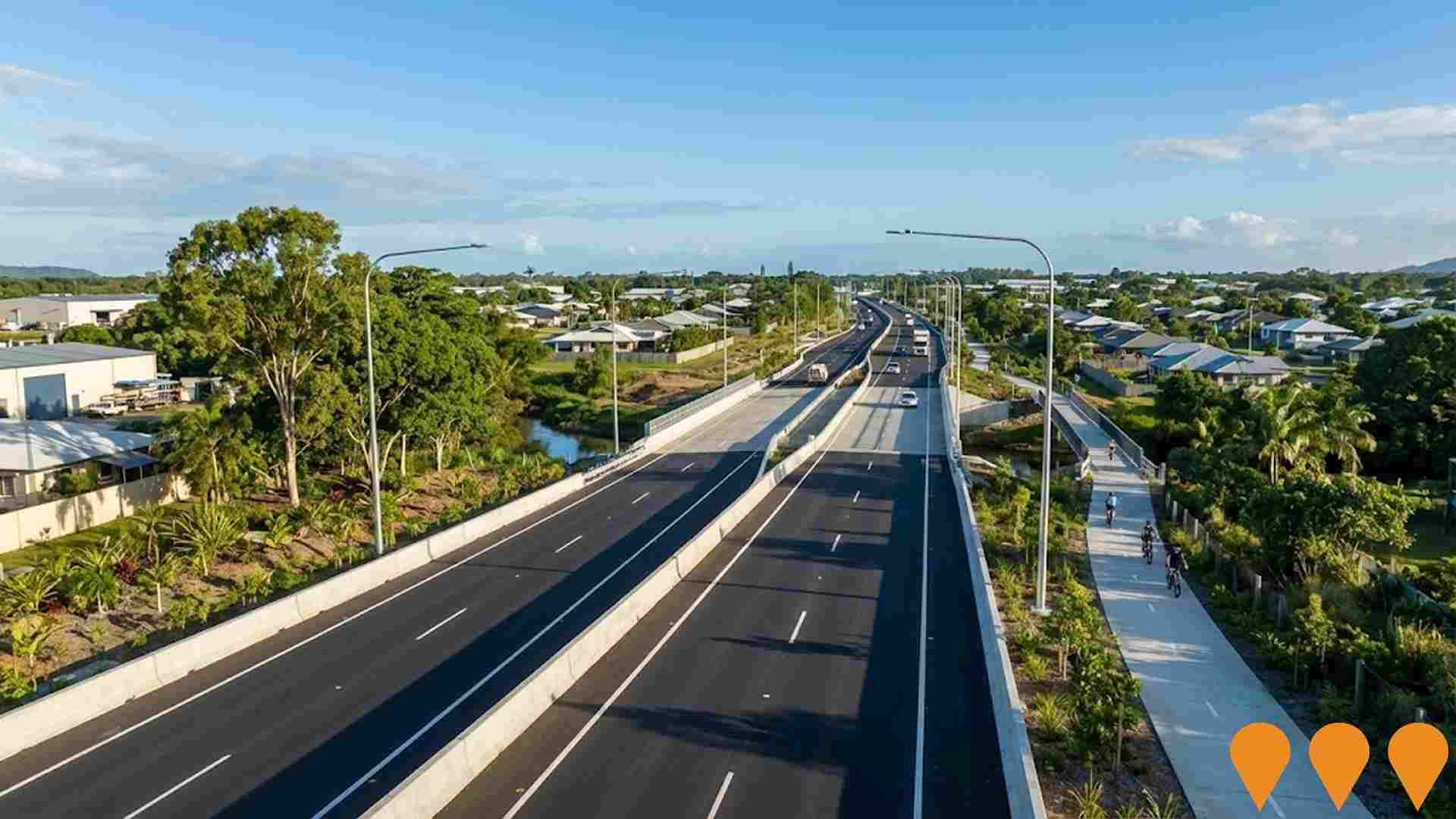
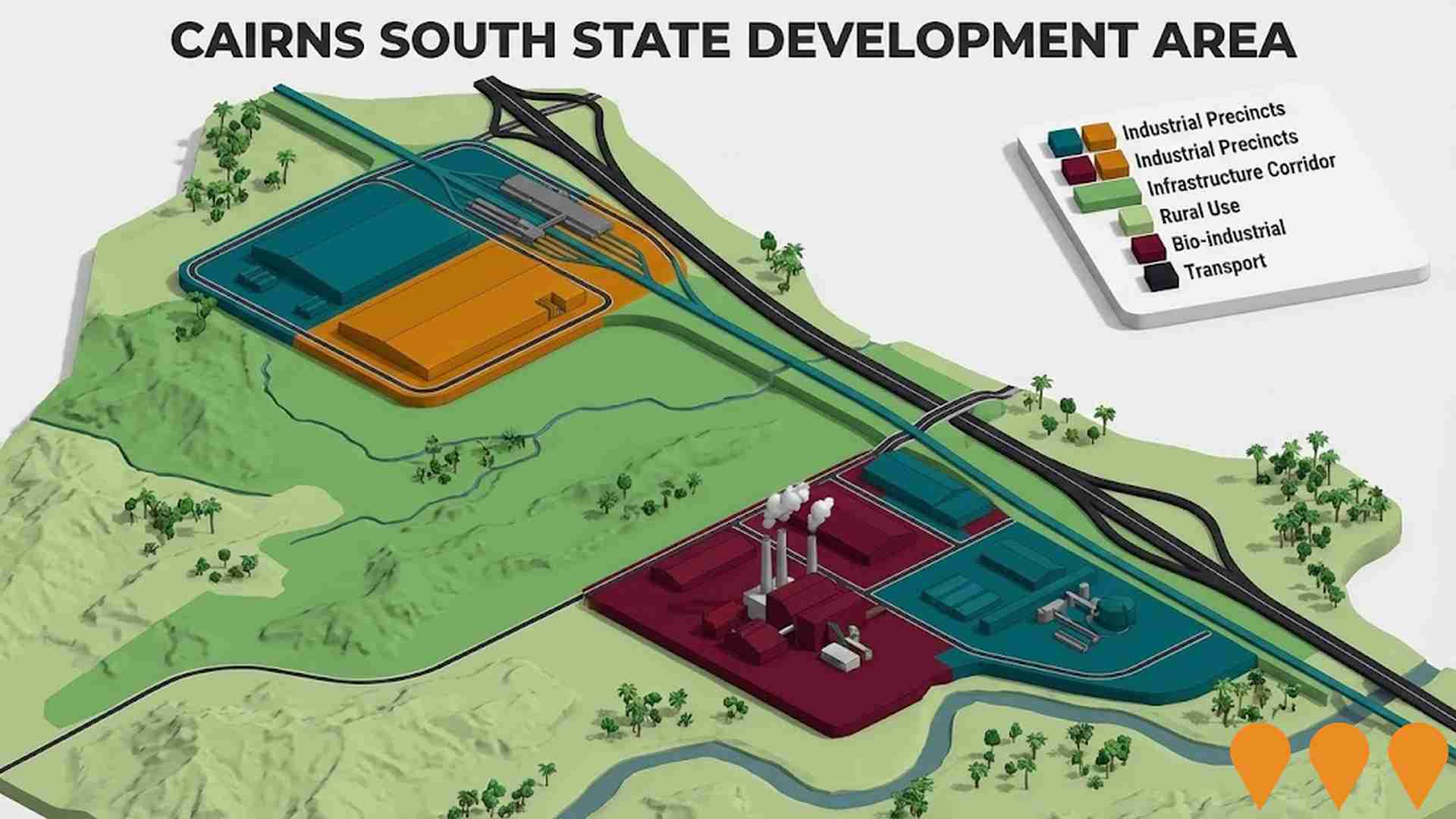
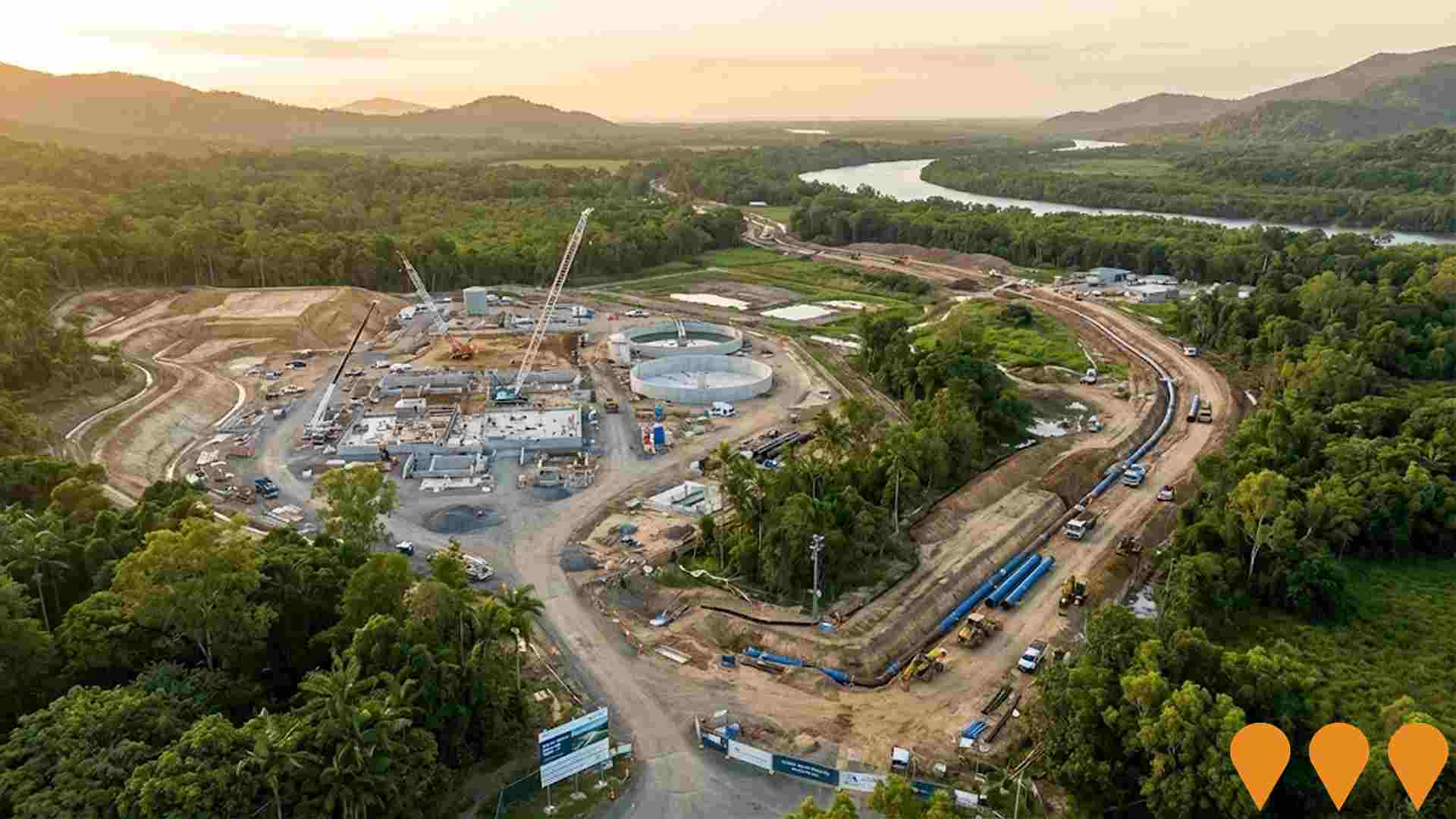
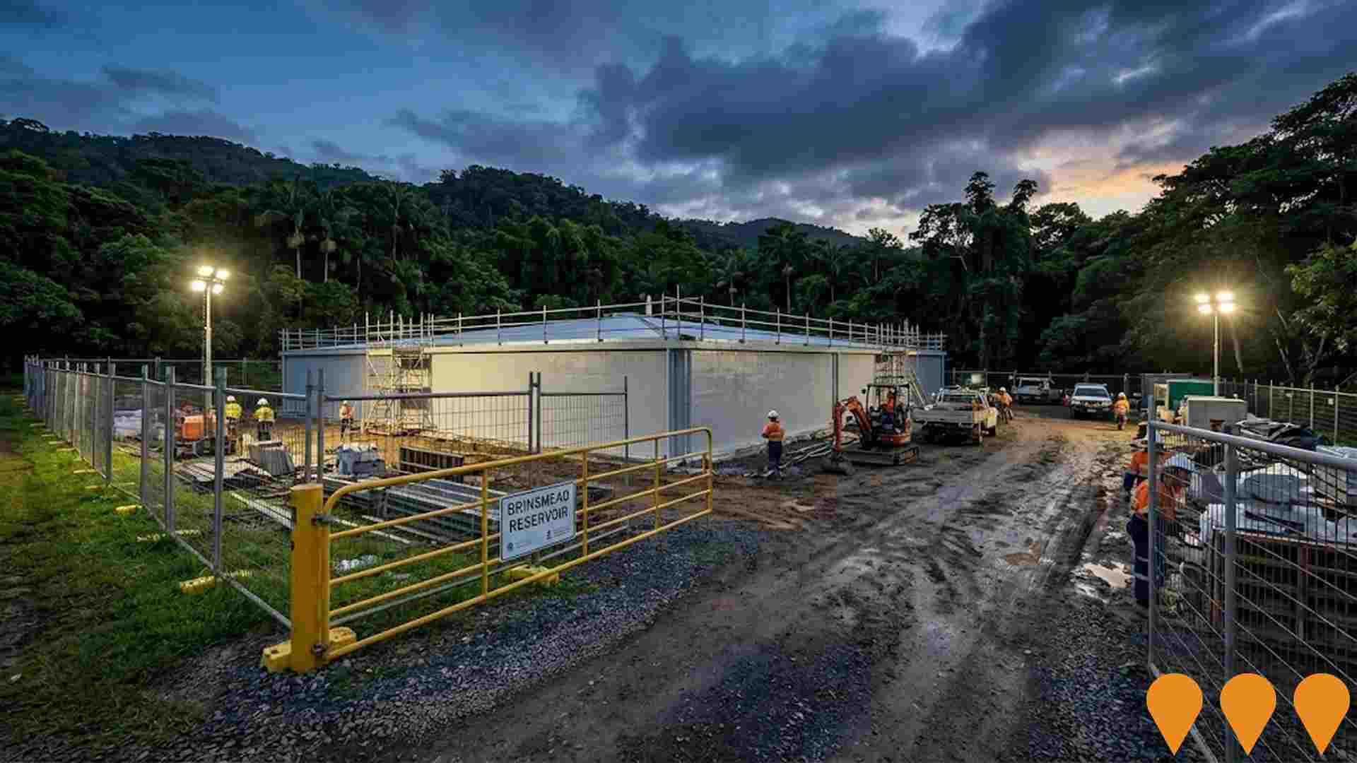
Changes in local infrastructure significantly impact an area's performance. AreaSearch has identified five projects that could affect the region. Notable projects include Ella Bay Integrated Resort and Residential Community, Bruce Highway Cairns Southern Access Corridor Stage 3 from Edmonton to Gordonvale, Mount Peter Priority Development Area, and Cairns South State Development Area. The following list details those most relevant:.
Professional plan users can use the search below to filter and access additional projects.
INFRASTRUCTURE SEARCH
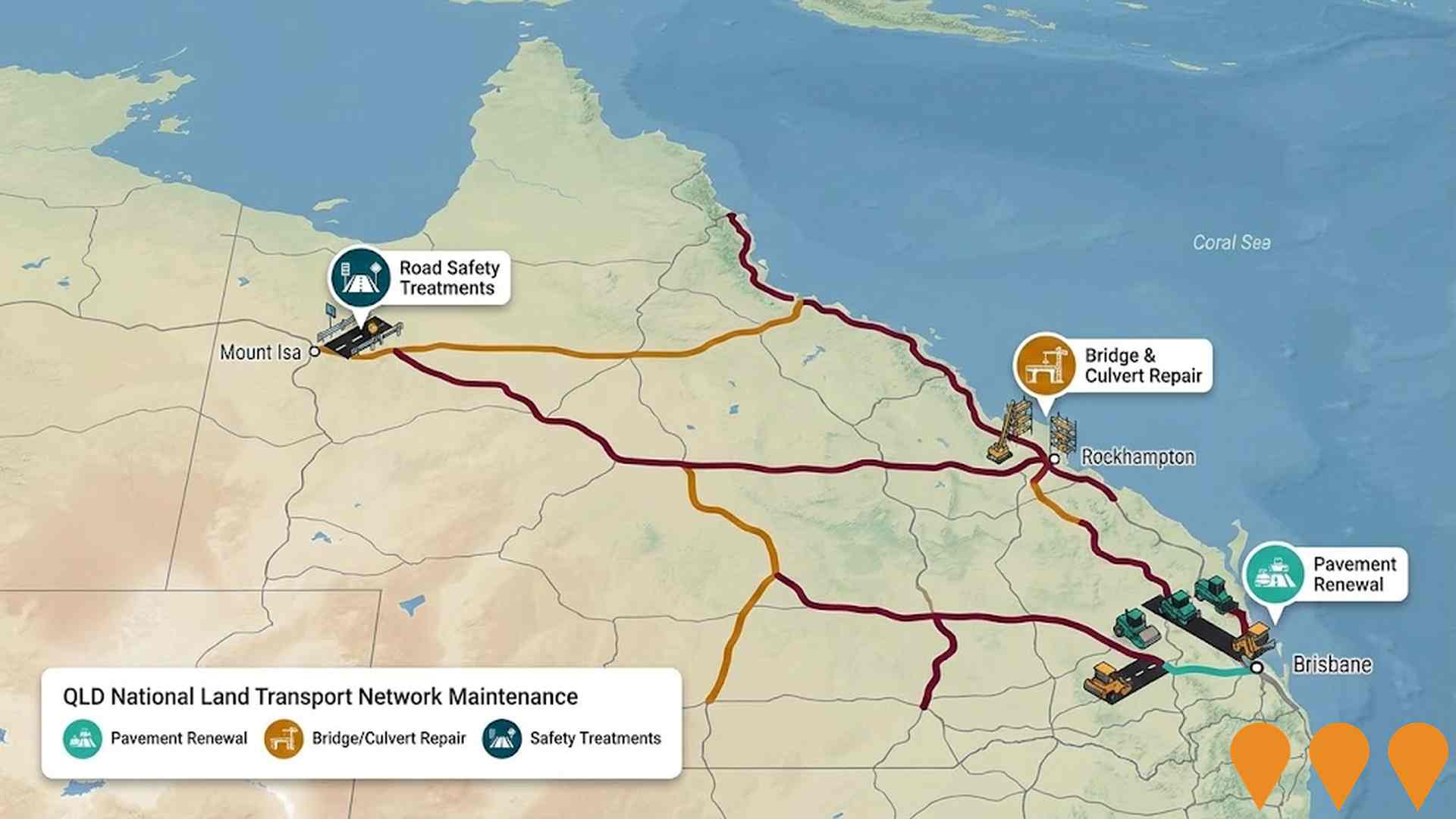
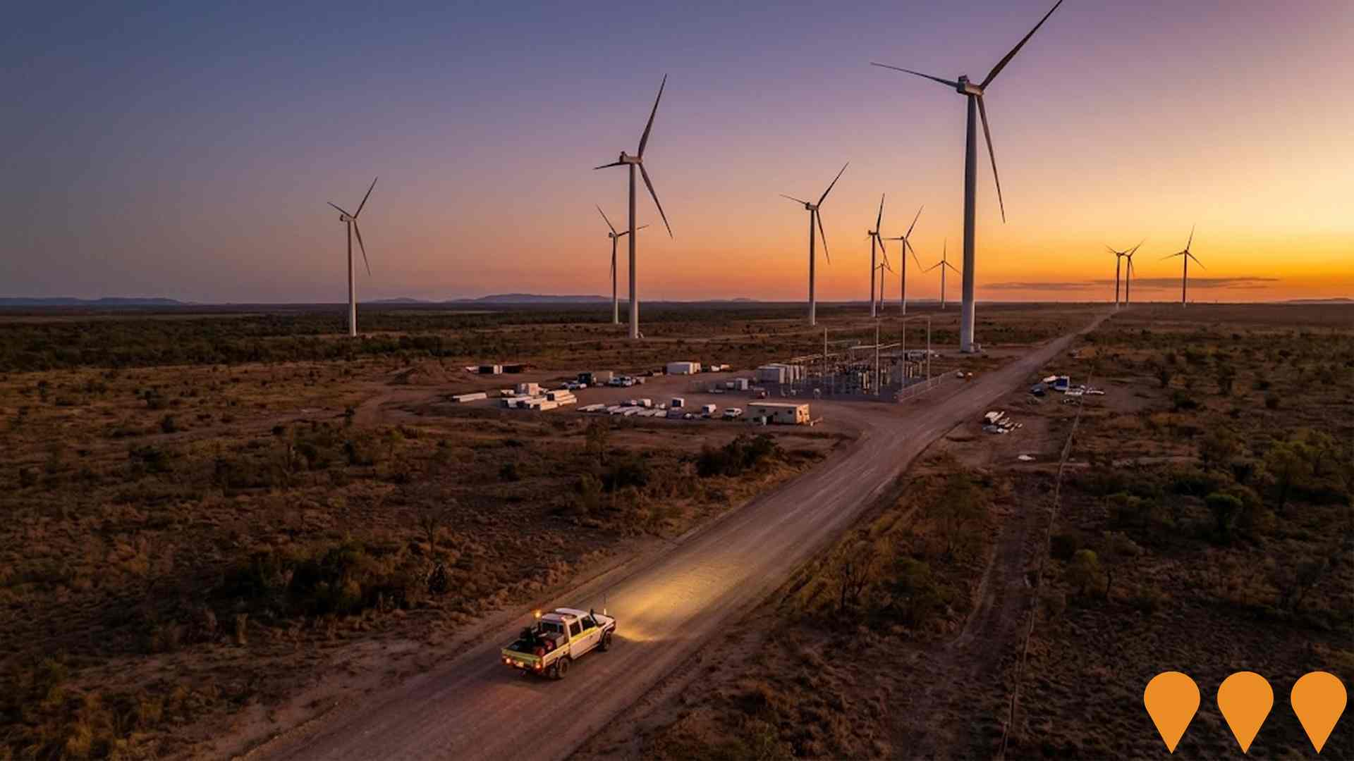
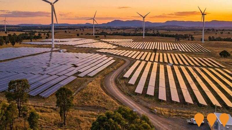
 Denotes AI-based impression for illustrative purposes only, not to be taken as definitive under any circumstances. Please follow links and conduct other investigations from the project's source for actual imagery. Developers and project owners wishing us to use original imagery please Contact Us and we will do so.
Frequently Asked Questions - Infrastructure
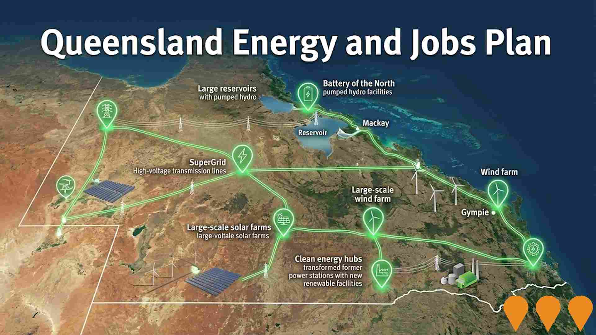
Queensland Energy and Jobs Plan
State-wide renewable energy transformation program delivering large-scale wind, solar, pumped hydro, battery storage and transmission infrastructure. Aims for 70% renewable energy by 2032 and 80% by 2035, supporting 100,000 jobs by 2040 across regional Queensland. Largest clean energy investment program in Australia.
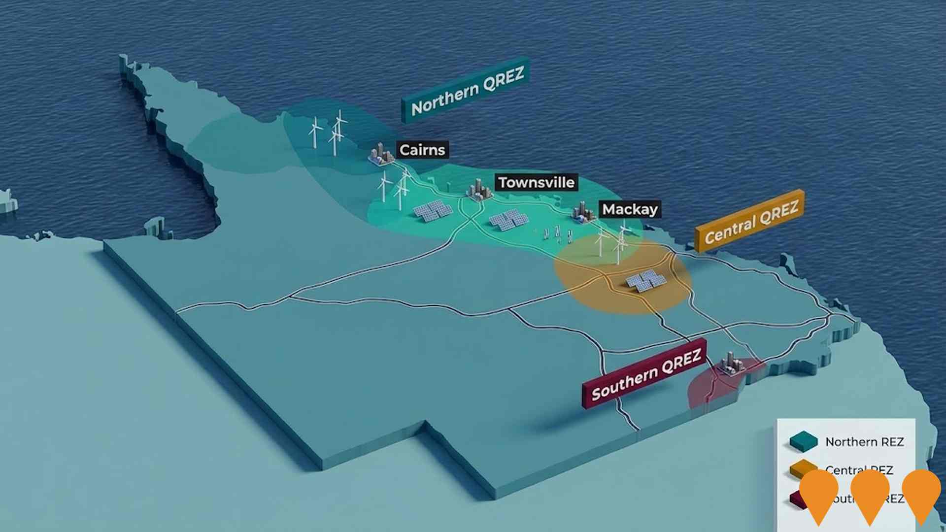
Queensland Energy and Jobs Plan - Northern Queensland SuperGrid (CopperString 2032 & Northern REZ)
Flagship component of the Queensland Energy and Jobs Plan delivering the 1,100 km CopperString 2032 high-voltage transmission project, establishment of the Northern Renewable Energy Zone, and supporting SuperGrid infrastructure to unlock large-scale renewable energy and critical minerals processing in North and North-West Queensland.
Queensland Energy and Jobs Plan SuperGrid
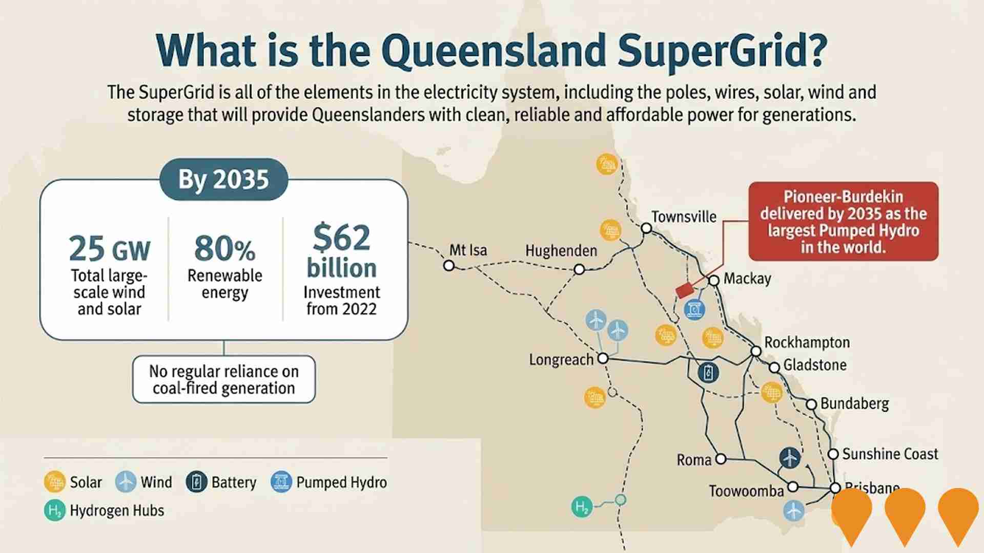
The Queensland Energy and Jobs Plan is delivering the Queensland SuperGrid and 22 GW of new renewable energy capacity through Renewable Energy Zones (REZs) across the state. Legislated targets are 50% renewables by 2030, 70% by 2032 and 80% by 2035. Key delivery mechanisms include the Energy (Renewable Transformation and Jobs) Act 2024, the SuperGrid Infrastructure Blueprint, the Queensland REZ Roadmap and the Priority Transmission Investments (PTI) framework. Multiple transmission projects are now in construction including CopperString 2032, Gladstone PTI (Central Queensland SuperGrid), Southern Queensland SuperGrid reinforcements, and numerous grid-scale batteries and pumped hydro projects under active development.
Queensland Energy and Jobs Plan
The Queensland Energy and Jobs Plan is a $62 billion+ statewide program to deliver publicly owned renewable energy generation, large-scale battery and pumped hydro storage, and the Queensland SuperGrid transmission backbone. Targets: 50% renewables by 2030, 70% by 2032, 80% by 2035. Multiple projects are now under construction including CopperString 2032, Pioneer-Burdekin Pumped Hydro, and numerous Renewable Energy Zones.
Cairns Smart Green Economy Initiative
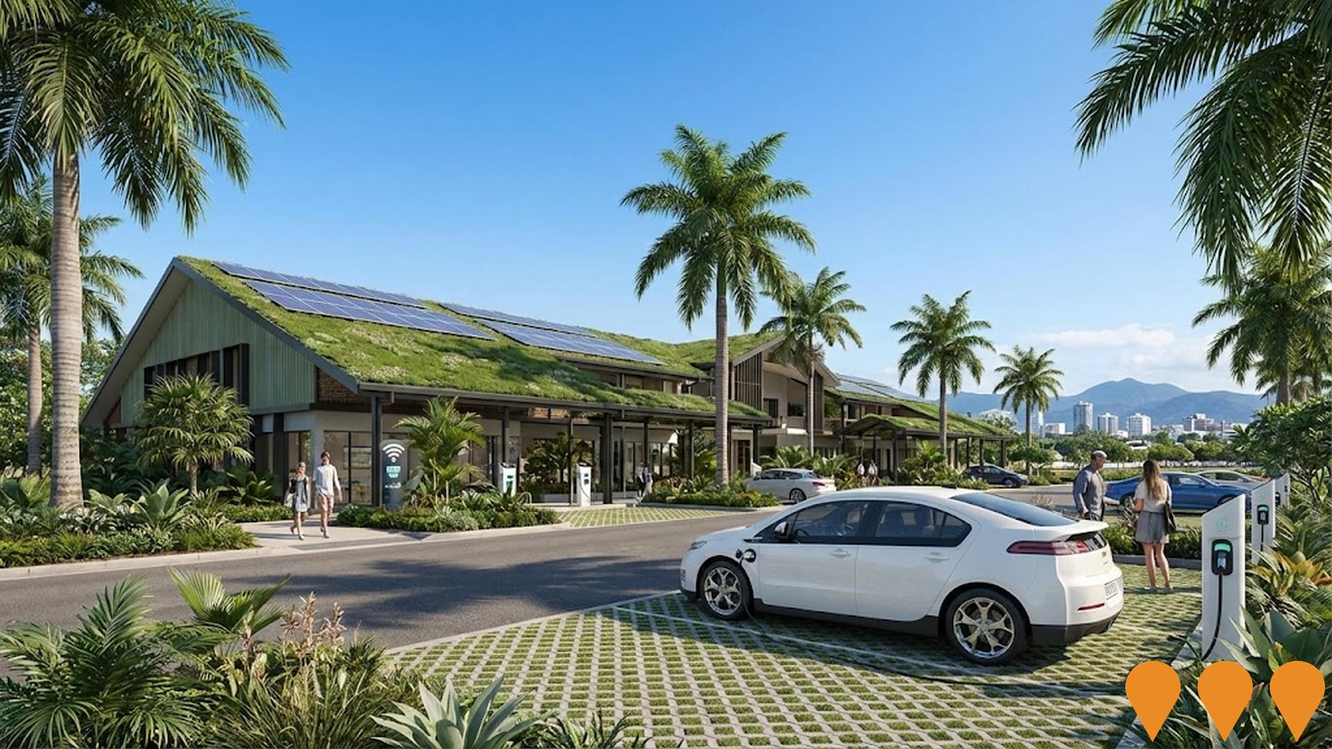
Multi-year program led by Cairns Regional Council delivering renewable energy projects, smart waste and water systems, digital connectivity upgrades, EV charging network, and climate resilience infrastructure across the Cairns region.
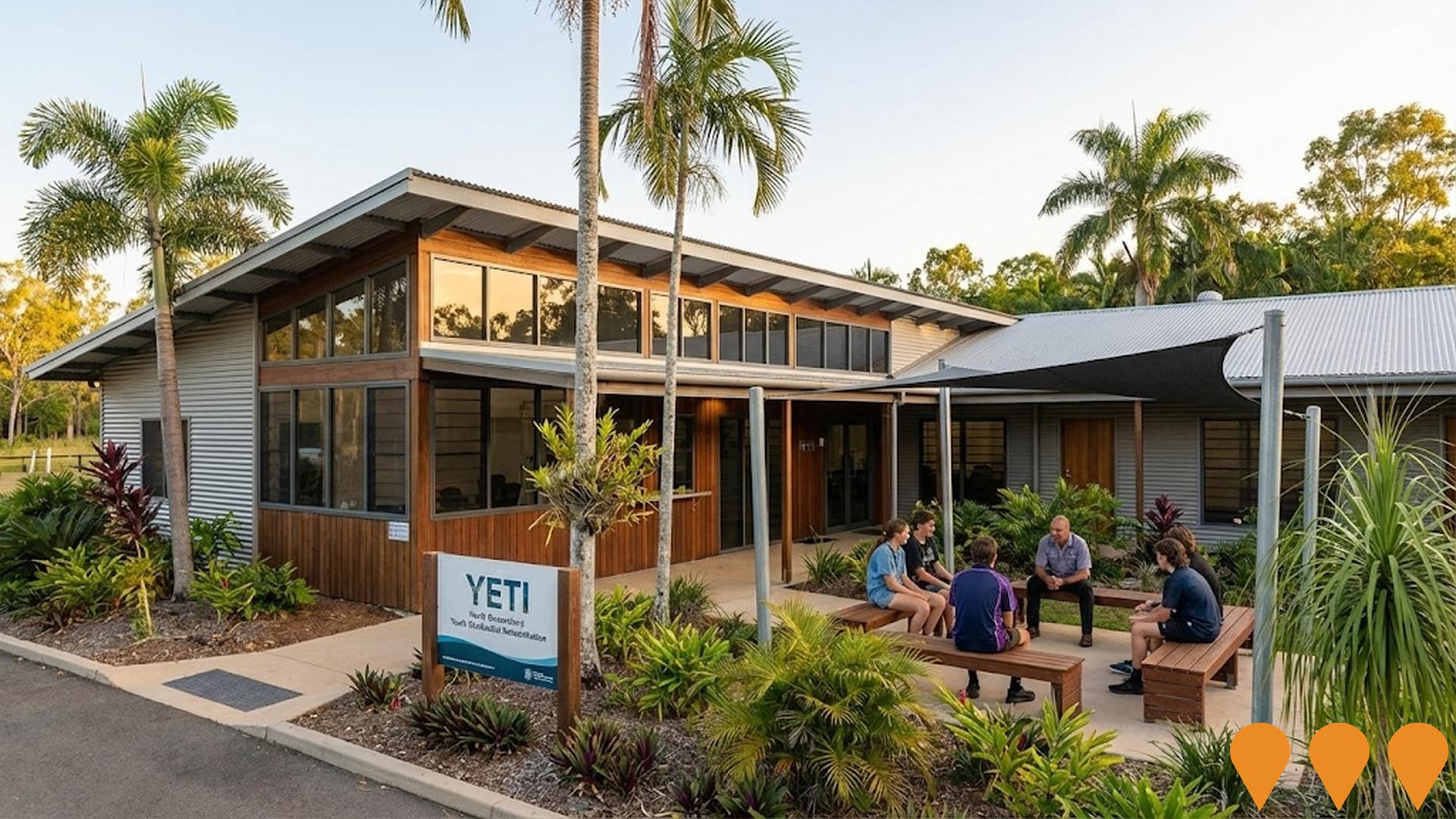
North Queensland Youth Alcohol and Other Drugs Residential Rehabilitation Service
A purpose-built 10-bed residential rehabilitation facility for young people aged 13-18 experiencing alcohol and other drug issues in North Queensland. Provides 24/7 supervised care, cultural programs, education support, and outreach services up to age 25. Delivered by Youth Empowered Towards Independence (YETI) in partnership with YSAS and Gindaja Treatment and Healing Indigenous Corporation.
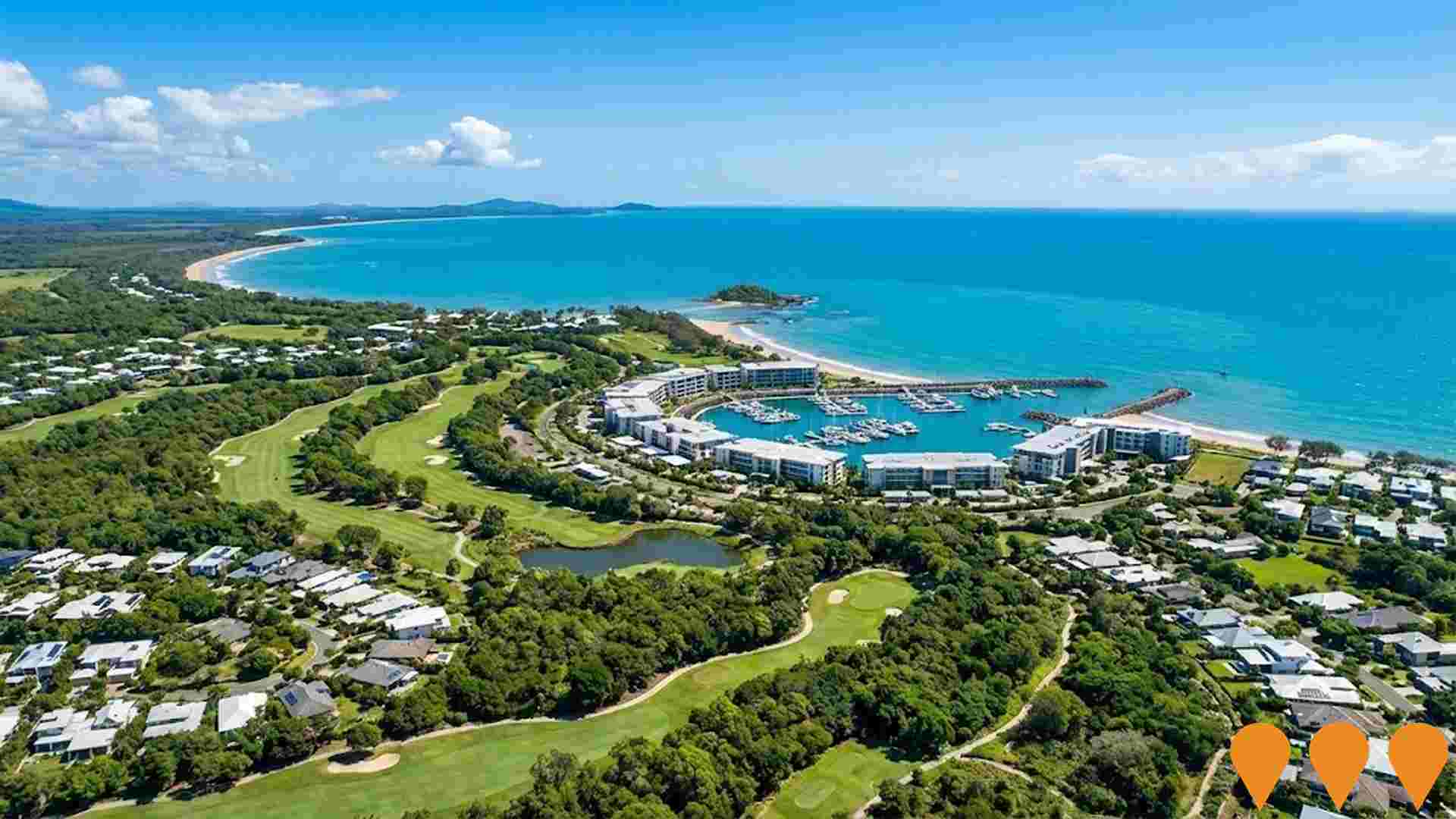
Ella Bay Integrated Resort and Residential Community
Large-scale integrated resort and residential masterplanned community proposing up to 2400 dwellings, luxury resorts, golf course, marina, village centre and extensive environmental conservation areas. Originally known as Half Moon Bay project but relocated to Ella Bay near Innisfail after the Yorkeys Knob site was abandoned.
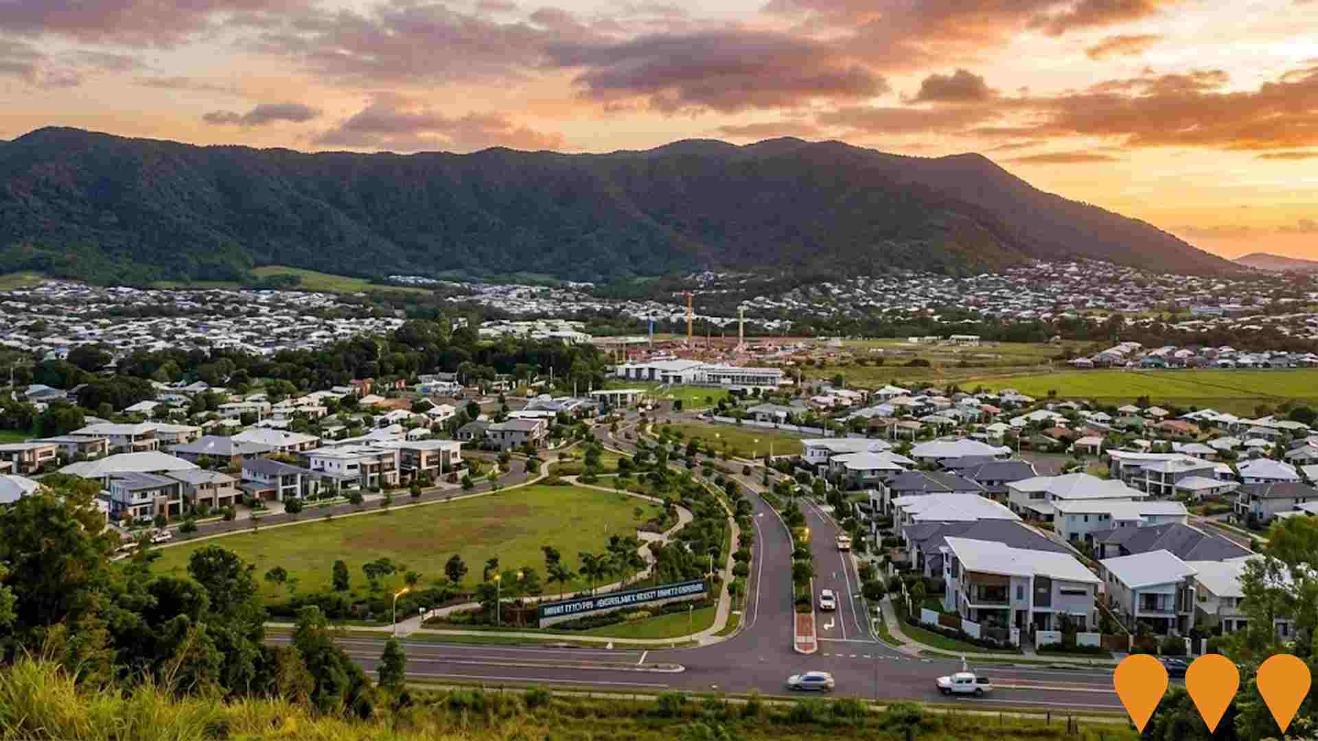
Mount Peter Priority Development Area
Queensland's newest Priority Development Area (PDA), declared 30 July 2025, covering 2,650 hectares in Cairns' Southern Growth Corridor. The Mount Peter PDA will deliver up to 18,500 new homes for approximately 42,000-42,500 residents by around 2050. An Interim Land Use Plan (ILUP) is in effect, enabling fast-tracked infrastructure and early development in Precinct 1 (Residential North). Economic Development Queensland (EDQ), in partnership with Cairns Regional Council, is preparing a full Development Scheme over the next 18 months with community input. The PDA provides streamlined planning and coordinated delivery of essential water, wastewater, transport, community facilities and open space infrastructure.
Employment
Employment performance in Babinda has been below expectations when compared to most other areas nationally
Babinda has a balanced workforce with both white and blue collar jobs, prominent manufacturing and industrial sectors, and an unemployment rate of 4.3% as of September 2025. In this month, 2,413 residents are employed while the unemployment rate is 0.2% higher than Rest of Qld's rate of 4.1%.
Workforce participation in Babinda is lower at 57.1%, compared to Rest of Qld's 59.1%. Employment is concentrated in agriculture, forestry & fishing, health care & social assistance, and education & training. Agriculture, forestry & fishing has notably high representation with employment levels at 3.9 times the regional average. Conversely, accommodation & food services have lower representation at 4.7% compared to the regional average of 8.3%.
The area may offer limited local employment opportunities, as indicated by the difference between Census working population and resident population. Over the year to September 2025, labour force levels decreased by 1.6%, employment fell by 3.3%, causing unemployment to rise by 1.7 percentage points in Babinda. In contrast, Rest of Qld saw employment grow by 1.7% and labour force expand by 2.1%, with unemployment rising by 0.3 percentage points. State-level data from 25-Nov shows Queensland employment contracted by 0.01% (losing 1,210 jobs), with the state unemployment rate at 4.2%, closely aligned with the national rate of 4.3%. Jobs and Skills Australia's national employment forecasts from May-25 suggest that national employment will expand by 6.6% over five years and 13.7% over ten years. Applying these projections to Babinda's employment mix indicates local employment should increase by 5.4% over five years and 12.0% over ten years, though this is a simple extrapolation for illustrative purposes and does not account for localized population projections.
Frequently Asked Questions - Employment
Income
Income figures position the area below 75% of locations analysed nationally by AreaSearch
AreaSearch's aggregation of latest postcode level ATO data released for financial year 2022 shows Babinda SA2 had a median income among taxpayers of $43,723 and an average level of $52,858. This is lower than the national average, which was $50,780, and compares to levels of $64,844 across Rest of Qld. Based on Wage Price Index growth of 13.99% since financial year 2022, current estimates would be approximately $49,840 (median) and $60,253 (average) as of September 2025. According to the 2021 Census, household, family, and personal incomes in Babinda fall between the 21st and 22nd percentiles nationally. Income analysis reveals 30.9% of the population (1,486 individuals) fall within the $1,500 - $2,999 income range, mirroring the region where 31.7% occupy this bracket. Housing costs are modest with 88.2% of income retained, but total disposable income ranks at just the 27th percentile nationally.
Frequently Asked Questions - Income
Housing
Babinda is characterized by a predominantly suburban housing profile, with above-average rates of outright home ownership
Dwelling structure in Babinda, as evaluated at the latest Census, comprised 96.0% houses and 4.1% other dwellings. In comparison, Non-Metro Qld had 87.1% houses and 12.9% other dwellings. Home ownership in Babinda was 45.6%, with the remainder mortgaged at 32.8% or rented at 21.6%. The median monthly mortgage repayment was $1,367, higher than Non-Metro Qld's average of $1,300. Median weekly rent in Babinda was $240, compared to Non-Metro Qld's $250. Nationally, Babinda's mortgage repayments were significantly lower at $1,863 and rents substantially below the national figure of $375.
Frequently Asked Questions - Housing
Household Composition
Babinda has a typical household mix, with a fairly typical median household size
Family households account for 72.2% of all households, including 27.1% couples with children, 35.2% couples without children, and 8.8% single parent families. Non-family households make up the remaining 27.8%, with lone person households at 26.1% and group households comprising 1.7% of the total. The median household size is 2.4 people, which matches the average for the Rest of Qld.
Frequently Asked Questions - Households
Local Schools & Education
Babinda faces educational challenges, with performance metrics placing it in the bottom quartile of areas assessed nationally
The area's university qualification rate is 14.4%, significantly lower than Australia's average of 30.4%. Bachelor degrees are the most common at 10.9%, followed by graduate diplomas (2.0%) and postgraduate qualifications (1.5%). Vocational credentials are prevalent, with 43.9% of residents aged 15+ holding them, including advanced diplomas (8.9%) and certificates (35.0%). Educational participation is high at 28.9%, with 11.3% in secondary education, 11.1% in primary education, and 2.3% pursuing tertiary education.
Educational participation is notably high, with 28.9% of residents currently enrolled in formal education. This includes 11.3% in secondary education, 11.1% in primary education, and 2.3% pursuing tertiary education.
Frequently Asked Questions - Education
Schools Detail
Nearby Services & Amenities
Transport
No public transport data available for this catchment area.
Frequently Asked Questions - Transport
Transport Stops Detail
Health
Health outcomes in Babinda are marginally below the national average with common health conditions slightly more prevalent than average across both younger and older age cohorts
Babinda's health indicators show below-average outcomes, with common conditions more prevalent than average across both younger and older age groups. Private health cover is very low at approximately 47% (around 2,246 people), compared to the national average of 55.3%.
The most common medical conditions are arthritis (9.4%) and mental health issues (7.0%). About 69.3% of residents report no medical ailments, slightly higher than Rest of Qld's 68.1%. Babinda has a higher proportion of seniors aged 65 and over at 26.2% (1,259 people), compared to Rest of Qld's 23.6%. Despite this, health outcomes among seniors are strong, performing better than the general population in health metrics.
Frequently Asked Questions - Health
Cultural Diversity
Babinda ranks below the Australian average when compared to other local markets across a number of language and cultural background related metrics
Babinda's cultural diversity was found to be below average, with 86.9% of its population being citizens born in Australia speaking English only at home: 87.3% and 93.3%, respectively. Christianity was the predominant religion in Babinda, comprising 57.5% of people, compared to 59.2% across Rest of Qld. The top three ancestry groups were English (26.1%), Australian (24.8%), and Irish (9.2%).
Italian ethnicity was notably overrepresented at 9.2%, while Maltese remained the same at 1.1%. However, Australian Aboriginal representation was lower than regional averages at 4.4% compared to 11.3%.
Frequently Asked Questions - Diversity
Age
Babinda hosts an older demographic, ranking in the top quartile nationwide
Babinda's median age is 47 years, which is notably higher than Rest of Qld's 41 years and considerably older than the national norm of 38 years. Compared to the Rest of Qld average, Babinda has a notably over-represented 65-74 cohort at 15.8%, while the 25-34 age group is under-represented at 8.1%. This 65-74 concentration is well above the national average of 9.4%. Since 2021, Babinda's population has seen changes in age distribution: the 75 to 84 age group grew from 6.2% to 8.0%, and the 65 to 74 cohort increased from 14.7% to 15.8%. Conversely, the 5 to 14 age group declined from 12.5% to 11.2%, and the 45 to 54 group dropped from 13.7% to 12.6%. Demographic modeling suggests Babinda's age profile will evolve significantly by 2041. The 75 to 84 age cohort is projected to expand notably, increasing by 176 people (46%) from 386 to 563. Notably, the combined 65+ age groups are expected to account for 62% of total population growth, reflecting Babinda's aging demographic profile. In contrast, population declines are projected for the 55 to 64 and 5 to 14 age cohorts.
