Chart Color Schemes
This analysis uses ABS Statistical Areas Level 2 (SA2) boundaries, which can materially differ from Suburbs and Localities (SAL) even when sharing similar names.
SA2 boundaries are defined by the Australian Bureau of Statistics and are designed to represent communities for statistical reporting (e.g., census and ERP).
Suburbs and Localities (SAL) represent commonly-used suburb/locality names (postal-style areas) and may use different geographic boundaries. For comprehensive analysis, consider reviewing both boundary types if available.
est. as @ -- *
ABS ERP | -- people | --
2021 Census | -- people
Sales Activity
Curious about local property values? Filter the chart to assess the volume and appreciation (including resales) trends and regional comparisons, or scroll to the map below view this information at an individual property level.
Find a Recent Sale
Sales Detail
Population
Roselands has seen population growth performance typically on par with national averages when looking at short and medium term trends
Roselands's population is around 15,845 as of November 2025. This reflects an increase of 1,268 people since the 2021 Census, which reported a population of 14,577 people. The change is inferred from the estimated resident population of 15,137 from the ABS as of June 2024 and an additional 338 validated new addresses since the Census date. This level of population equates to a density ratio of 4,341 persons per square kilometer, which lies in the top 10% of national locations assessed by AreaSearch. Roselands's 8.7% growth since the 2021 census exceeded the SA3 area (4.8%) and the SA4 region, marking it as a growth leader in the region. Population growth for the area was primarily driven by overseas migration that contributed approximately 67.5% of overall population gains during recent periods.
AreaSearch is adopting ABS/Geoscience Australia projections for each SA2 area, released in 2024 with 2022 as the base year. For any SA2 areas not covered by this data, AreaSearch is utilising the NSW State Government's SA2 level projections, released in 2022 with 2021 as the base year. Growth rates by age group from these aggregations are also applied to all areas for years 2032 to 2041. Looking at population projections moving forward, a population increase just below the median of national areas is expected, with the area expected to grow by 1,272 persons to 2041 based on the latest annual ERP population numbers, reflecting an increase of 3.5% in total over the 17 years.
Frequently Asked Questions - Population
Development
Residential development activity is slightly higher than average within Roselands when compared nationally
Roselands has recorded approximately 81 residential properties granted approval annually. Over the past five financial years, from FY21 to FY25408 homes were approved, with an additional 20 approved so far in FY26. On average, one new resident arrived per year for each new home over these five years, indicating balanced supply and demand. However, this ratio has intensified to 4.5 people per dwelling over the past two financial years, suggesting growing popularity and potential undersupply.
New homes are being built at an average expected construction cost of $274,000, which is below the regional average, offering more affordable housing options for buyers. In FY26, Roselands has recorded $18.3 million in commercial development approvals, indicating balanced commercial development activity compared to Greater Sydney, where there is 99.0% more construction activity per person. The new development consists of 42.0% detached dwellings and 58.0% medium and high-density housing, reflecting a shift from the area's existing housing composition, which is currently 64.0% houses. This trend may indicate decreasing availability of developable sites and changing lifestyles requiring more diverse and affordable housing options. Roselands reflects a transitioning market with around 280 people per approval. By 2041, the area is expected to grow by approximately 562 residents, suggesting that current development rates should comfortably meet demand, providing good conditions for buyers and potentially supporting growth beyond current population projections.
Looking ahead, Roselands is expected to grow by 562 residents through to 2041 (from the latest AreaSearch quarterly estimate). At current development rates, new housing supply should comfortably meet demand, providing good conditions for buyers and potentially supporting growth beyond current population projections.
Frequently Asked Questions - Development
Infrastructure
Roselands has very high levels of nearby infrastructure activity, ranking in the top 10% nationally
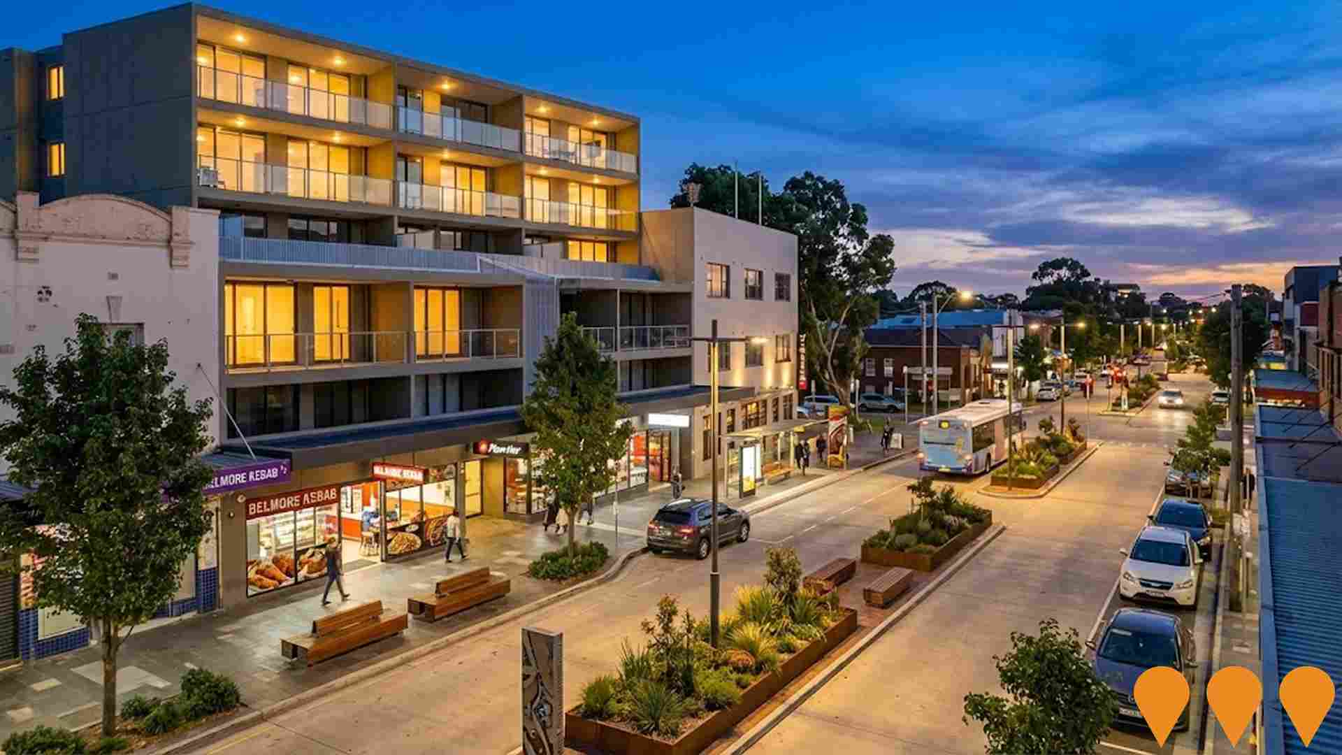
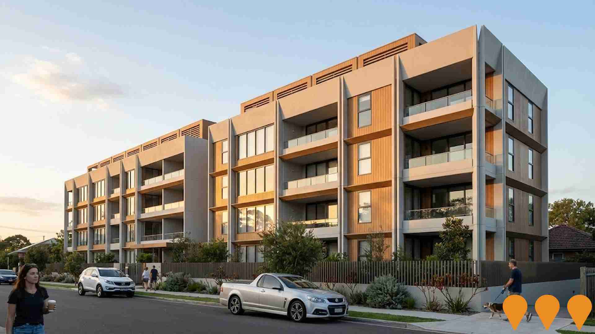
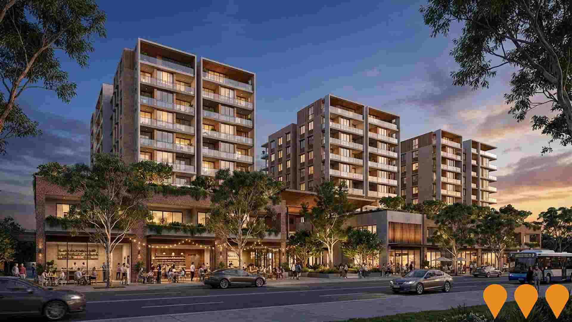
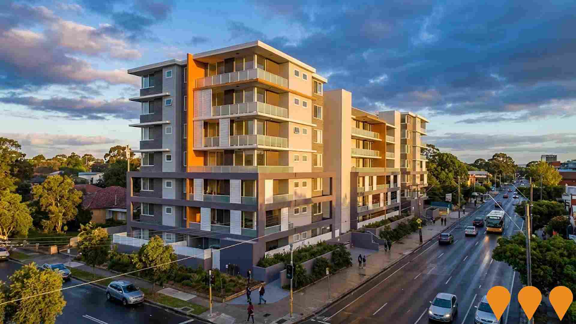
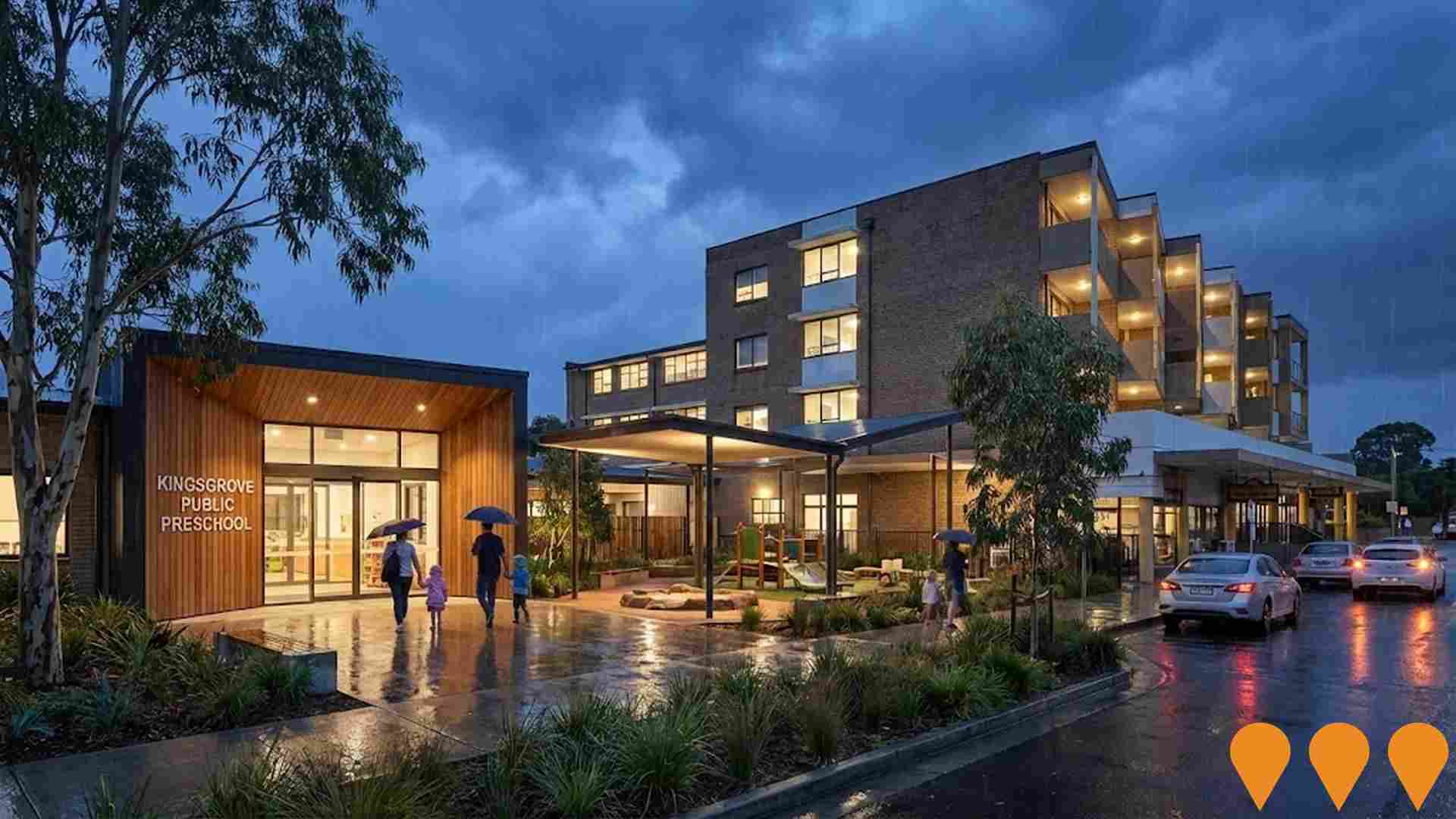
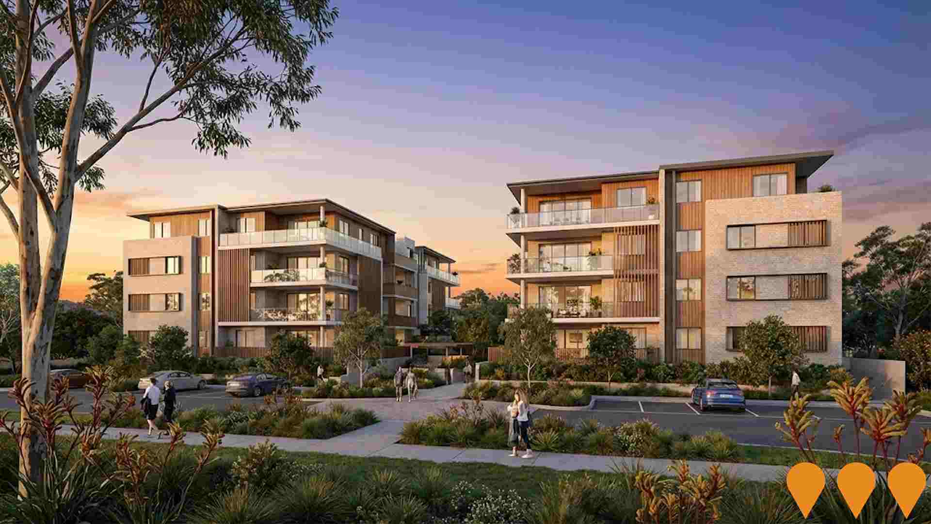
Ten projects have been identified by AreaSearch as potentially impacting the area's performance. Key projects include: 71-83 Graham Road Residential Development - Narwee, 280-300 Lakemba Street Wiley Park Plaza Development, Rail Service Improvement Program - T4 Illawarra & Eastern Suburbs Line, and 64-70 King Georges Road Wiley Park Residential Development. The following list details those likely to be most relevant.
Professional plan users can use the search below to filter and access additional projects.
INFRASTRUCTURE SEARCH
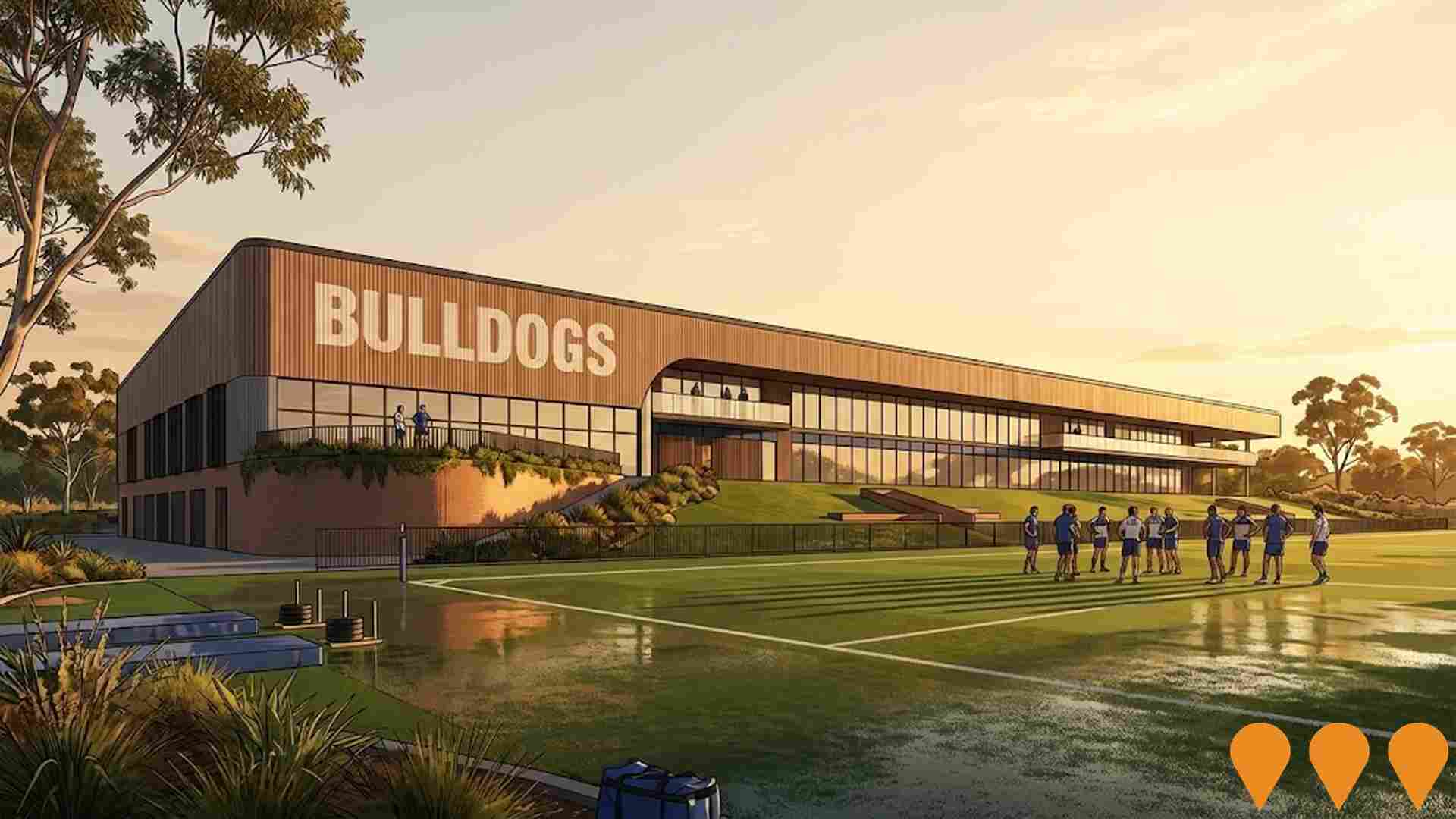
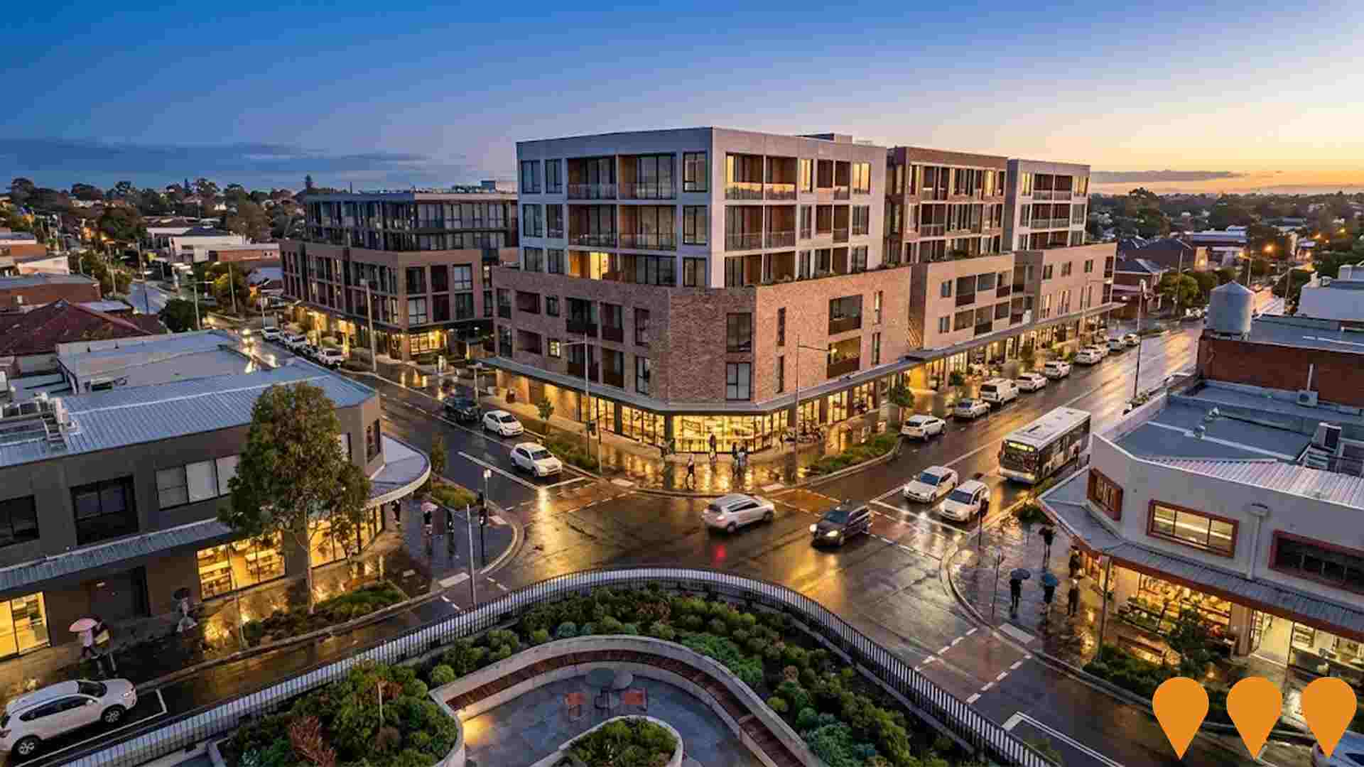
 Denotes AI-based impression for illustrative purposes only, not to be taken as definitive under any circumstances. Please follow links and conduct other investigations from the project's source for actual imagery. Developers and project owners wishing us to use original imagery please Contact Us and we will do so.
Frequently Asked Questions - Infrastructure
Sydney Metro City & Southwest
30km metro rail extension from Chatswood to Bankstown via the Sydney CBD, including 15.5km of new twin tunnels under Sydney Harbour and the CBD and the upgrade of the existing T3 Bankstown Line to metro standards. The Chatswood to Sydenham section (including new stations at Crows Nest, Victoria Cross, Barangaroo, Martin Place, Pitt Street, Waterloo and upgrade of Central) opened on 19 August 2024. The final Sydenham to Bankstown section is now under construction and scheduled to open in 2026 following resolution of industrial disputes. Features driverless trains, platform screen doors and full accessibility. Total project cost approximately A$21.6 billion (2024 figures).
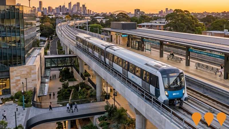
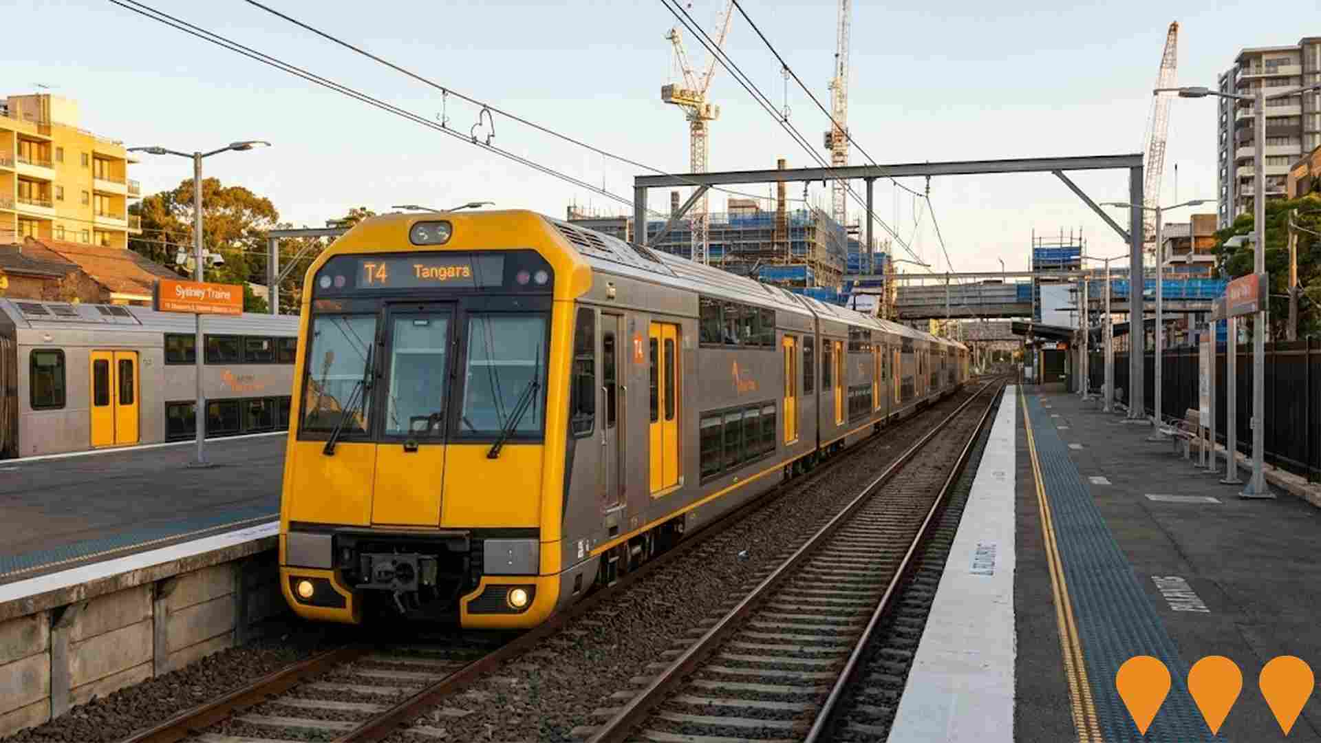
Rail Service Improvement Program - T4 Illawarra & Eastern Suburbs Line
Ongoing major upgrade program delivering more reliable and frequent services on the T4 Illawarra and Eastern Suburbs Line. Works include Digital Systems signalling upgrades (now in delivery), platform extensions, new crossovers, power supply upgrades, Waterfall stabling yard, and accessibility improvements at multiple stations. The program will enable a 30% increase in peak-hour services and supports the introduction of new NIF (New Intercity Fleet) trains. Delivery is staged, with major packages continuing through to 2028.
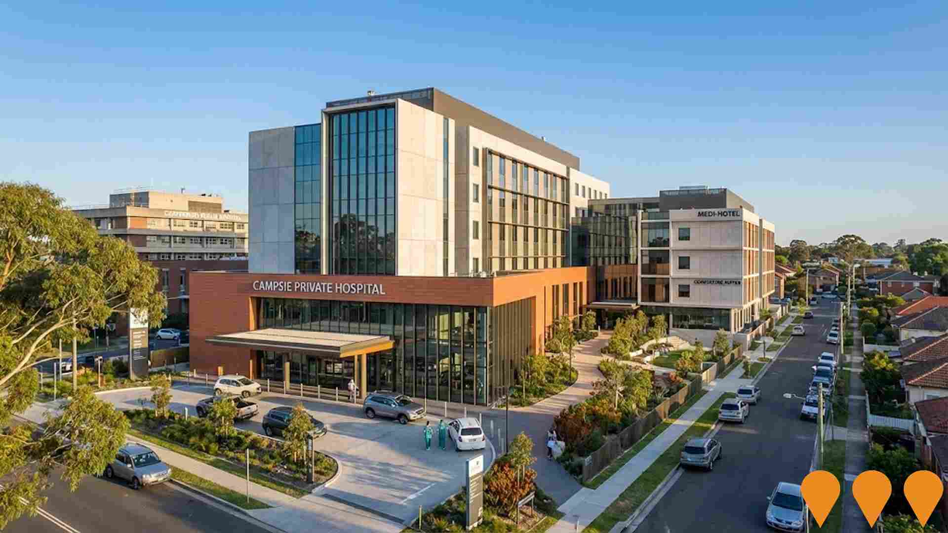
Campsie Private Hospital
A $450 million private hospital development by Neetan Investments on a 3.5 ha site in Campsie. The project will deliver a new 200-bed private hospital, 100-room medi-hotel, 150-place childcare centre, specialist consulting suites, rehabilitation facilities, day surgery unit and supporting clinical services. It will create a major health precinct complementing the existing Canterbury Public Hospital.
Sydney Metro City & Southwest - Sydenham to Bankstown (T3 Bankstown Line Conversion)
Conversion of the existing 13.5km T3 Bankstown Line between Sydenham and Bankstown to fully automated metro standards as the final stage of Sydney Metro City & Southwest. Includes upgrading 10 stations (Marrickville to Bankstown) plus Sydenham interchange with platform screen doors (plus mechanical gap fillers on curved platforms), full accessibility upgrades, line segregation, and enabling turn-up-and-go services every 4 minutes in peak. The line closed on 30 September 2024 for conversion works and intensive testing (high-speed testing commenced November 2025); opening now scheduled for 2026 due to earlier industrial impacts and integration complexity.

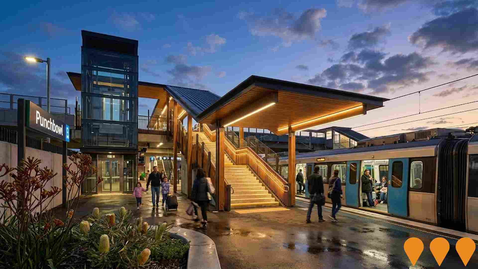
Punchbowl Station Upgrade - Sydney Metro City & Southwest
Punchbowl Station is being upgraded as part of the Sydney Metro City & Southwest project to convert the T3 Bankstown Line to fully automated metro standards. Works include three new lifts, new family-accessible toilets, platform screen doors, level boarding, concourse improvements, new signage and wayfinding. The station upgrade supports new single-deck air-conditioned metro trains running every 4 minutes in peak in each direction upon opening.
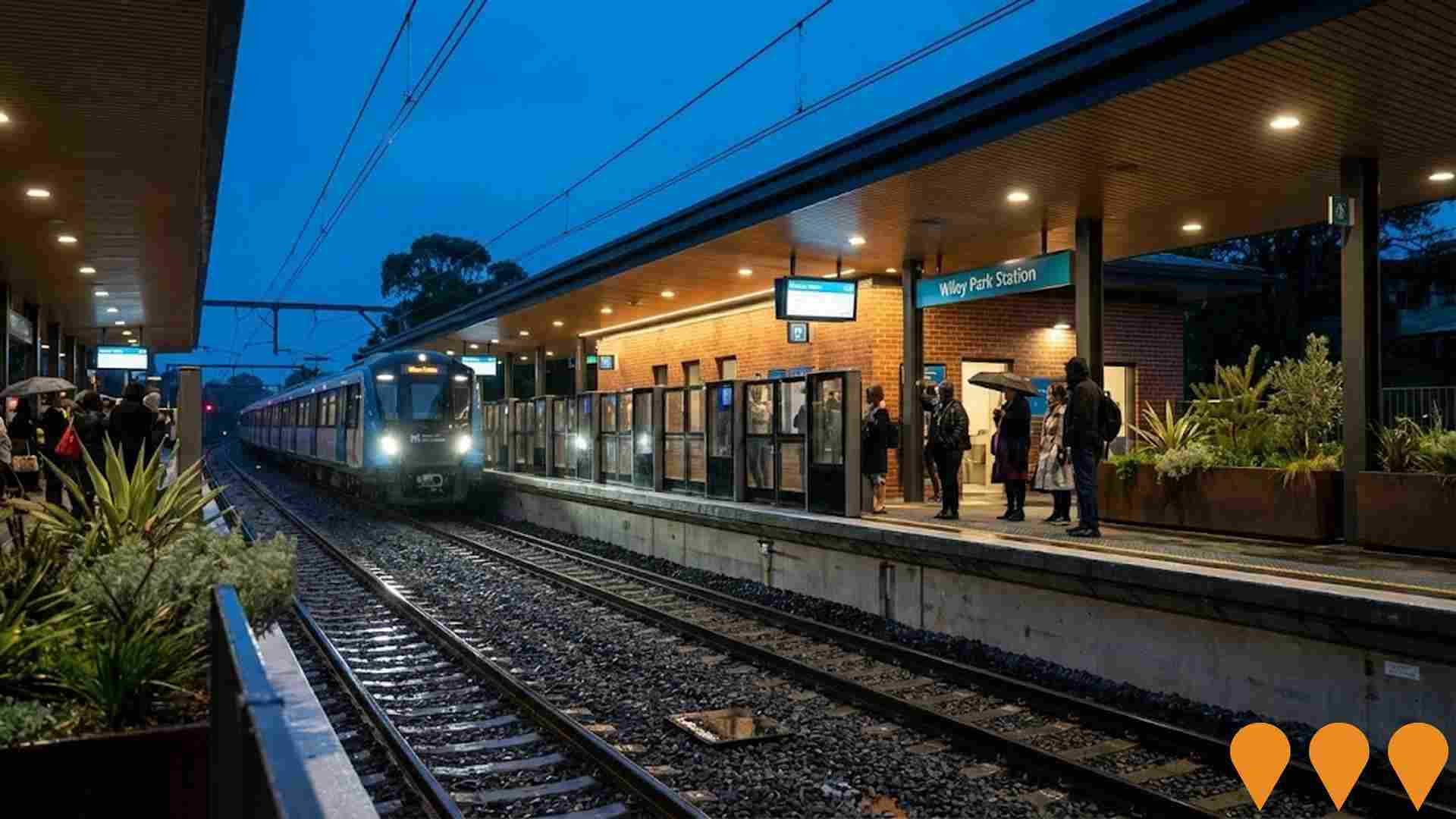
Wiley Park Station Sydney Metro Upgrade
Upgrade of Wiley Park Station to metro standards as part of T3 Bankstown Line conversion. Includes new lifts, platform screen doors, level access, improved accessibility, and metro trains every 4 minutes in peak.
Canterbury-Bankstown Bulldogs Centre of Excellence
Construction of a three-storey state-of-the-art Centre of Excellence at Belmore Sports Ground, serving as a home for the club's NRL and NRLW teams. Features include change rooms, strength and conditioning facilities, medical facilities, education and meeting spaces, administration areas, merchandise, reception, media facilities, amenities for community groups, public entry forecourt, balcony, new LED scoreboard, landscaped terraces, tree planting, and parking. Enhances facilities for women and juniors, fostering inclusivity and community pride.
Punchbowl and Wiley Park Precinct Plan
Canterbury-Bankstown Council's alternative precinct plan to the NSW Government's Transport Oriented Development (TOD) Program for Punchbowl and Wiley Park. The place-based plan proposes approximately 4,000 new homes over 20 years (exceeding standard TOD targets), higher densities with building heights up to 18 storeys, extended rezoning to 800m from stations, mixed-use development, improved public domain, transport connectivity, open spaces, housing diversity, and affordable housing. Endorsed by Council on 17 June 2025 and submitted to the NSW Department of Planning, Housing and Infrastructure for assessment and potential implementation in place of standard TOD controls.
Employment
Employment performance in Roselands has been below expectations when compared to most other areas nationally
Roselands has a well-educated workforce with professional services being strongly represented. The unemployment rate was 5.1% as of September 2024.
Over the past year, there was an estimated employment growth of 3.2%. As of September 2025, 7,643 residents are employed while the unemployment rate is 0.9% higher than Greater Sydney's rate of 4.2%. Workforce participation in Roselands lags at 51.4%, compared to Greater Sydney's 60.0%. The dominant employment sectors among residents include health care & social assistance, retail trade, and construction.
Notably, transport, postal & warehousing has employment levels at 1.6 times the regional average. However, professional & technical services are under-represented, with only 8.1% of Roselands's workforce compared to Greater Sydney's 11.5%. Over the 12 months to September 2025, employment increased by 3.2% while labour force increased by 4.1%, resulting in a rise in unemployment rate by 0.8 percentage points. In comparison, Greater Sydney recorded employment growth of 2.1%, labour force growth of 2.4%, and an unemployment rate increase of 0.2 percentage points. As of 25-November-25, NSW employment contracted by 0.03% (losing 2,260 jobs), with the state unemployment rate at 3.9%. Nationally, the unemployment rate was 4.3%. Jobs and Skills Australia's national employment forecasts from May-25 suggest that national employment should expand by 6.6% over five years and 13.7% over ten years. Applying these projections to Roselands's employment mix indicates local employment could increase by 6.6% over five years and 13.4% over ten years, although this is a simple weighting extrapolation for illustrative purposes and does not account for localised population projections.
Frequently Asked Questions - Employment
Income
Income levels sit below national averages according to AreaSearch assessment
Roselands SA2 had a median taxpayer income of $41,555 and an average of $52,777 in financial year 2022. This was lower than the national average, with Greater Sydney having a median income of $56,994 and an average income of $80,856. By September 2025, estimated incomes were approximately $46,795 (median) and $59,432 (average), based on Wage Price Index growth since financial year 2022. According to the 2021 Census, household income ranked at the 47th percentile ($1,704 weekly), while personal income was at the 22nd percentile. The $1,500 - 2,999 earnings band captured 32.4% of Roselands' community (5,133 individuals), similar to regional levels showing 30.9%. Housing affordability pressures were severe, with only 81.0% of income remaining, ranking at the 45th percentile. The area's SEIFA income ranking placed it in the 5th decile.
Frequently Asked Questions - Income
Housing
Roselands displays a diverse mix of dwelling types, with above-average rates of outright home ownership
Roselands' dwelling structures, as per the latest Census, consisted of 63.5% houses and 36.4% other dwellings (semi-detached, apartments, 'other' dwellings). In comparison, Sydney metro had 48.7% houses and 51.3% other dwellings. Home ownership in Roselands was at 33.1%, with mortgaged dwellings at 36.8% and rented ones at 30.1%. The median monthly mortgage repayment was $2,300, higher than Sydney metro's $2,167. The median weekly rent figure was $425, compared to Sydney metro's $390. Nationally, Roselands' mortgage repayments were significantly higher at $2,300 versus the Australian average of $1,863, and rents were substantially above the national figure of $375.
Frequently Asked Questions - Housing
Household Composition
Roselands has a typical household mix, with a higher-than-average median household size
Family households constitute 76.8% of all households, including 42.3% couples with children, 19.3% couples without children, and 13.7% single parent families. Non-family households comprise the remaining 23.2%, with lone person households at 20.5% and group households making up 2.6% of the total. The median household size is 3.0 people, larger than the Greater Sydney average of 2.9.
Frequently Asked Questions - Households
Local Schools & Education
Educational attainment in Roselands aligns closely with national averages, showing typical qualification patterns and performance metrics
The area's university qualification rate is 26.9%, significantly lower than Greater Sydney's average of 38.0%. Bachelor degrees are the most common at 19.3%, followed by postgraduate qualifications (6.1%) and graduate diplomas (1.5%). Vocational credentials are held by 30.1% of residents aged 15+, with advanced diplomas at 11.6% and certificates at 18.5%. Educational participation is high, with 31.7% currently enrolled in formal education.
This includes 10.5% in primary, 8.9% in secondary, and 6.1% in tertiary education.
Frequently Asked Questions - Education
Schools Detail
Nearby Services & Amenities
Transport
Transport servicing is good compared to other areas nationally based on assessment of service frequency, route connectivity and accessibility
Roselands has 97 active public transport stops, all of which are bus stops. These stops are served by 21 different routes that together facilitate 3,230 weekly passenger trips. The accessibility of these services is rated as excellent, with residents typically residing just 125 meters from the nearest stop.
On average, there are 461 daily trips across all routes, which translates to approximately 33 weekly trips per individual stop.
Frequently Asked Questions - Transport
Transport Stops Detail
Health
Roselands's residents boast exceedingly positive health performance metrics with very low prevalence of common health conditions across all age groups
Roselands shows excellent health outcomes across all ages, with very low prevalence of common health conditions. Private health cover stands at approximately 47% (~7,399 people), compared to 49.6% in Greater Sydney and a national average of 55.3%. Arthritis and asthma are the most prevalent medical conditions, affecting 6.1 and 5.2% of residents respectively.
76.3% of residents report no medical ailments, compared to 77.7% in Greater Sydney. Roselands has a higher proportion of seniors aged 65 and over at 17.0% (2,693 people), compared to 15.8% in Greater Sydney. Seniors' health outcomes align with the general population's profile.
Frequently Asked Questions - Health
Cultural Diversity
Roselands is among the most culturally diverse areas in the country based on AreaSearch assessment of a range of language and cultural background related metrics
Roselands has a high level of cultural diversity, with 41.2% of its population born overseas and 61.6% speaking a language other than English at home. Christianity is the predominant religion in Roselands, making up 56.8% of the population. However, Islam is overrepresented compared to Greater Sydney, comprising 22.3% of Roselands' population versus the regional average of 24.7%.
The top three ancestry groups in Roselands are Other (21.7%), Greek (12.7%), and Lebanese (12.5%). Notably, Macedonian is overrepresented at 1.1% compared to the regional figure of 0.5%, Vietnamese at 1.9% versus 3.7%, and Spanish at 0.7% compared to 0.5%.
Frequently Asked Questions - Diversity
Age
Roselands's population is slightly younger than the national pattern
Roselands has a median age of 38 years, which is close to Greater Sydney's average of 37 years and equivalent to Australia's median of 38 years. Compared to Greater Sydney, Roselands has a higher proportion of residents aged 55-64 (11.8%) but fewer residents aged 25-34 (12.9%). According to the 2021 Census, the population aged 15-24 grew from 12.6% to 13.5%, while the population aged 35-44 declined from 13.5% to 12.5%. By 2041, Roselands is projected to experience significant shifts in its age composition. The number of residents aged 75-84 is expected to grow by 43%, reaching 1,337 from 934. The population aged 65 and above is projected to comprise 63% of the total growth. Conversely, population declines are projected for the age groups 0-4 and 25-34.
