Child care centres
Explore centres on the map, filter by type, then review the directory below.
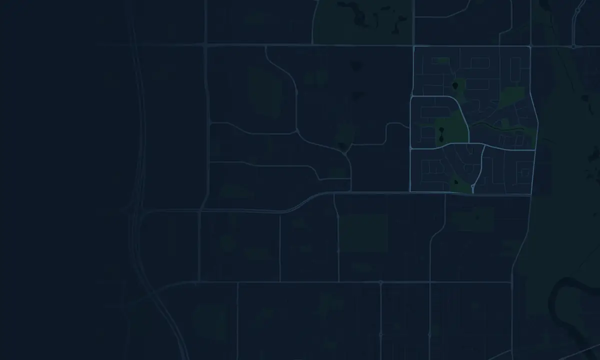
Child care centres, schools and zoning on a live map
| Id | Name | Type | Places | Approval | Distance (Km) | Day Rate | Availability |
|---|
* Click centres on the map for more detail and custom analysis options.
Key metrics
Lockridge compared with Greater Perth


SOURCE: ACECQA, StartingBlocks, ABS data analysed by AreaSearch
Last updated:
Childcare development applications on record across the catchment around Lockridge, from lodgement through to determination. Project-by-project detail — addresses, proposed places and status, drawn from council DA / planning registers — is in the full approvals register on this page.
Most recent projects
-
School refurbishment and additions to the early childhood centre - Good Shepherd CPS
-
To use the land for Childcare Premise including associated development, car parking area, access, landscaping…
Free accounts see the two most recent projects above. Sign in or go Pro to unlock the full approvals register on this page — search by address or DA number, filter by status, council and project scale. Data is drawn from council DA / planning registers.
SOURCE: Planning portals and council registers, compiled by AreaSearch. Distance & bearing measured from the suburb midpoint.
Lockridge Child Care FAQ
What is the Child Care supply composition of Lockridge?
What population do these centres in Lockridge service?
Why do your population numbers differ from Census figures for Lockridge?
How does the ratio of children per LDC place in Lockridge compare to those in Greater Perth?
How do childcare fees in Lockridge relate to those in Greater Perth?
How does the ratio of school population per LDC place compare in Lockridge and Greater Perth?
What is the average age of Long Daycare Centres in Lockridge?
Is the local workforce a significant driver of additional child care demand for Lockridge?
Who would typically use analysis such as this?
Find & Assess a Centre
Search by name, postcode, or address to explore supply & demand for any child care or school catchment in Australia.
or location
catchment map
& get report
What will drive demand from here?
Centre supply and current places are an output, not a leading indicator. For the demand-side drivers of this area — population growth, 0–4 cohort trends, dwelling supply, workforce participation and competing development pipeline — open the relevant deep-dive page.